


The content menu at the start of the route description allows you to jump directly to the various sub-sections. You can also use the navigation elements at the end of each section to switch between the two variations of the road trip route, ‘ Altinate ’ and ‘ Padana ’ . You can use the detailed route description for reference during your long-distance hike alongside the maps available for download here . Alternatively, you can download offline navigation apps for your iPhone or Android or simply take a printed guidebook with you.
Cycle(Tour)
(Long distance)Hiking
Car(Touring)
Holidays & trips
A road trip along the imperial road across the Alps ('Altinate' version)

Virtual Museum
Cultural guide
Virtual journey
Route planner
Historical maps
Tour books
Videos
Climate
Jump to a specific section
BAVARIA
TYROL
Reschenpass > Trento (South Tyrol, TRENTINO)
Trento > Altino/Venice (TRENTINO, VENETO)
Use the main menu on the website to jump to the subsections from Trento to the Po river via Verona (Via Claudia Augusta ‘Padana’).


The Via Claudia Augusta starts in the town of Donauwörth. This has two reasons: the Danube, which allowed the Romans to transport heavy goods, and the northern border of the Roman Empire, which was located here before and after the first retreat of the Roman Empire from the Germanic tribes. The northernmost part of the Roman road runs through the modern district of Donau-Ries, which nearly reaches the Limes in the north. Apart from the Danube, the area is characterized by the Ries crater. It has a diameter of 25 kilometers and was created by a meteorite 14.5 million years ago. The name ‘Ries’ is said to be derived from the Roman province of Rhaetia. Donauwörth, the town where the Roman road ends, did not exist during Roman times. Instead, the area was frequently flooded by five rivers whose confluence lies in the Donauwörth region: the Danube, Wörnitz, Zusam, Schmutter and Lech. The town began as a fishermen’s settlement on the island of Ried in the Wörnitz river. Today, most of the old town is located to the north of the river. It offers one of Germany’s most beautiful streets, the Reichsstraße.


The Tanzhaus on the Reichsstraße houses the archaeological museum, a fitting start to a journey along the historical road. Do not miss the impressive town hall on the same street. Head through the Rieder Tor gate, which houses the local history museum (Haus der Stadtgeschichte), and visit the old town on the island of Ried. This is where the town first began to develop. Another local heritage museum (the Heimatmuseum) is located here. Back on the Reichsstraße, walk past the Liebfrauenmünster church and the Fuggerhaus. Your walk ends at the Käthe Kruse Doll Museum, which is dedicated to the history of the famous dolls from Donauwörth. The tourist information office offers many guided tours.
Archaeological museum: Reichsstraße 34,
+49 (0)906 789-170, open on Sat, Sun and public holidays: 2 pm–5 pm.
Haus der Stadtgeschichte in the Rieder Tor: Spitalstraße 11,
+49 (0)906 789-170 or -151, opens upon request.
Heimatmuseum on the island of Ried: Museumsplatz 2,
+43 (0)906 789-170 or -151, May to October: Tue–Sun, 2 pm–5 pm, November to April: Wed, Sat, Sun and public holidays, 2 pm–5 pm.Käthe Kruse Doll Museum: Pflegstraße 21a, +43(0)906 789-170 or -151. May to September: Tue–Sun, 11 am–6 pm; October to April: Thu–Sun, 2 pm–5 pm; 25 December to 6 January: every day 2 pm–5 pm; closed on 24 December and Good Friday.
There is a footpath at the edge of Nordheim. You will see it on your left just after you pass the bridge. It leads to a replica of a milestone of the Via Claudia Augusta, which marked the location of the Roman road.
Information is available from
Via Claudia Augusta Info
www.viaclaudia.org/en
info@viaclaudia.org
0043 664 27 63 555
If you have specific questions about the town of Donauwörth, in particular, contact the
municipal tourist information office of Donauwörth
https://www.donauwoerth.de/tourismus/
Rathausgasse 1
tourist-info@donauwoerth.de
0049 906 78 91 51
For specific questions about the region, contact
the Donau-Ries tourist board
www.ferienland-donau-ries.de
info@ferienland-donau-ries.de
0049 906 74 211


jump back to the beginning of the detailed description of the road trip route ('Altinate')
jump to northern Tyrol
jump to the Reschenpass
jump to Trento
jump to the history of the Via Claudia Augusta
jump to the history of the regions and towns along the Altinate route
jump to the ‘twenty-four maps through the centuries’ for each region along the Via Claudia Augusta
jump to the full spectrum of culture across the regions and towns (Altinate)
jump to the specialities of the regions and towns
jump to the wines of the regions and towns


In Roman times, there were already settlements in the estuary region of the rivers Wörnitz, Schmutter and Lech and in the part of the Lechtal valley bordering Augsburg. The inconspicuous little hill between Mertingen and Druisheim was the site of Submuntorium-Burghöfe, a Roman fortress complex. Another military site is said to have stood in Langweid am Lech. The towns up to Drusheim are still part of the district of Donau-Ries. Beyond Drusheim, the district of Augsburg begins. Its largest towns are Meitingen, which gained market privileges in 1989, and Gersthofen, which became a town in 1969. The Roman road follows the Lech towards Augsburg. In some parts, it is still a road. In others, it is a dam on the ground. Most of it is covered by the national road number 2 today. The Roman road runs past the floodplains of the Lech river, which separates the district of Augsburg from the Wittelsbacher Land.


Several showcases at the town hall of Asbach-Bäumenheim document the Roman history of the area. The Roman road on which we leave the town follows the historical route precisely. The DON 28 district road, which takes our route to Mertingen, later replaced the Via Claudia Augusta as a connection between the Danube and Augsburg. Our route follows it for long stretches because it leads through several pretty town centers. Back then, traffic was not an issue. Mertingen has an active museum association. At the Sölde, a rural house at Mardostraße 10, you can find out about the residential culture of a farm in the 18th and 19th century. The Alte Schule museum behind the town hall at Fuggerstraße 3 showcases discoveries from Roman and pre-Roman times alongside exhibits about the Alemanni foundation (or rather, colonization) of the town. The Stadl museum at Hilaria-Lechner-Straße 13 houses a large collection of agricultural equipment, carriages, wheels and sleighs. +49 (0)9078 9600 18, opens upon prior arrangement, www.museumsfreunde.mertingen.de. On a hill between Mertingen and Druisheim, you will find a notice board telling you about Submuntorium-Burghöfe and explain its function in a chain of fire signals. After a visit to the former Benedictine abbey of Holzen, which was founded in the 13th century and rebuilt in the late 17th century, continue to Nordendorf and Westendorf before stopping over in Ostendorf, where a pre-Christian stone has been fixed in the outer wall of St. Michael’s Church. Between Waltershofen and Markt Meitingen, you pass a shopping center to your right. It was named after the Via Claudia Augusta. Just like the main road leading through the market town, it is right on the route of the old Roman road. A milestone marks the location near the Raiffeisenkasse bank. Before you enter Herbertshofen, you will find a notice board on the road. It contains information about the highly developed Roman land surveying system. A replica of a groma allows you to try your hand at it yourself. A power plant from 1907 near the Lech river before Langweid houses the Bavarian Lech Museum. Lechwerkstraße 19, 86462 Langweid am Lech, +49 (0)821 328—1658, open every first Saturday of the month, 10 am–6 pm or upon prior arrangement. A few years ago, archaeologists discovered sections of the Via Claudia Augusta in Landweid. In the north of Gersthofen, the travel route crosses the old road twice. It leads downhill towards the town center on the upper edge of a slope running to the river. A small park contains a small Temple of Mercury. Merchants and travelers used to ask the god for safe passage. When you reach Gersthofen, consider visiting the balloon museum, which is dedicated to the history of balloon flight. Bahnhofstraße 12, 86368 Gersthofen, +49 (0)821 2491 ext. 506, open on Wed, Fri: 1–5 pm, Thu: 10 am–7 pm, Sat, Sun, public holidays: 10 am–5 pm, www.ballonmuseum-gersthofen.de.
For information, contact
Via Claudia Augusta Info
www.viaclaudia.org
info@viaclaudia.org
0043 664 27 63 555
For specific questions about the region up to Mertingen/Druisheim, contact
the Donau-Ries tourist board
www.ferienland-donau-ries.de
info@ferienland-donau-ries.de
0049 906 74 211
For specific questions about the region from Allmannshofen/Nordendorf onwards, contact
the tourist information office of Regio Augsburg Tourismus GmbH
www.augsburg-tourismus.de
Rathausplatz 1, Augsburg
tourismus@regio-augsburg.de
0049 821 50 207 0

jump back to the beginning of the detailed description of the road trip route ('Altinate')
jump to northern Tyrol
jump to the Reschenpass
jump to Trento
jump to the history of the Via Claudia Augusta
jump to the history of the regions and towns along the Altinate route
jump to the ‘twenty-four maps through the centuries’ for each region along the Via Claudia Augusta
jump to the full spectrum of culture across the regions and towns (Altinate)
jump to the specialities of the regions and towns
jump to the wines of the regions and towns


After the Alpine Campaign in 15 B. C., Emperor Augustus’ adoptive sons, Drusus and Tiberius, established a military camp in Oberhausen, a northern district. The camp was the foundation of Augusta Vindelicum, the later capital of the province of Rhaetia. Augsburg is probably Germany’s second oldest city. It was most certainly one of the largest Roman towns north of the Alps. Spanning more than 25 ha, the settlement had up to 15,000 inhabitants in its heyday and offered them everything they would have expected from a Roman provincial capital: a temple, market hall, governor’s palace, theater, spas ... All townhouses had running water. The Via Claudia Augusta passed the town to the west. In the central area between the town hall and the Mercury fountain, it is identical to the historical main road through the old town. Augsburg rose to even greater significance in the late Middle Ages and the beginning of the modern era, when the rich Fugger family established their global business empire from here. Later, the prince-bishops of Augsburg reigned over a vast expanse of land that stretched all the way to Tyrol.


Follow the old connecting road between Augsburg and Donauwörth (called Augsburger Straße until the border before becoming Donauwörther Straße) from Gersthofen to Augsburg. The northernmost part of the former Roman provincial capital is Oberhausen, where the Romans set up their first camp after the Alpine Campaign. Cross the Wertachbrücke bridge to the district between the two rivers, Wertach and Lech, where the city developed over the millennia. The route continues through the Fischertor gate, which used to be a part of the enceinte (wall) surrounding the city, and leads you through the oldest part of Augsburg. You will pass the birthplace of Leopold Mozart at Frauentorstraße 30 on the way. Have a good look at the cathedral from all sides, then head to the town hall square with its pedestrian zone. Just before the pedestrian zone begins, the road forks to the right, leading you to a parking garage at Ernst-Reuter-Platz.
A guided tour in a taxi is the most comfortable way to travel through time: up to four people pay EUR 29 per hour. Augsburg’s sights are all in close proximity to each other, however, so you can easily see them on foot. Head out from the parking lot and visit the former prince-bishops’ residence (Fürstbischöfliche Residenz), whose inhabitants controlled the fate of the surrounding region up to Tyrol for a long time. Today, it is the seat of the Swabian regional government. From here, the route leads you around the cathedral and to the garden on Äußeres Pfaffengässchen, where you can catch an archaeological glimpse of Roman Augsburg. In 2014, the Fugger und Welser Erlebnismuseum opened in a Renaissance garden house, offering an interactive multimedia exhibition about the significance of Augsburg and the economical influence of its mercantile families on Europe and the world in the 16th century. After visiting the cathedral, have a look at the stone sculptures on the Roman wall on the southern cathedral square. On the opposite side of the street, at Peutingerstraße 11, you can see the house of the humanist Konrad Peutinger. The merchant, who collected Roman coins and stone monuments, is the father of Roman research in Augsburg. He also gave his name to the first world map of Roman roads, whose 12th-century copy he sought to publish. At the gate of his house, Roman and Jewish stone monuments have been fixed in the wall. The next stop on your route is the town hall, one of the most important secular Renaissance buildings north of the Alps. Alongside the Perlachturm tower, which offers wonderful views of the city, it is the symbol of Augsburg. The Goldener Saal inside the town hall is one of Germany’s most significant cultural monuments from the Late Renaissance. Perched atop the monumental fountain, Emperor Augustus watches over the city he founded. On the stretch between the town hall and the Mercury fountain to the south, the Maximilianstraße is identical to the Roman road running past the city to the west. Head a little further west still to reach the Maximilianmuseum at Fuggerplatz 1. It is the storehouse of the city’s art galleries and museums and contains three separate sections: sculptures, handicrafts, local history. Among its most fascinating treasures is a collection of sculptures from the Late Renaissance and goldworks from the era when the Fuggers’ city was one of Central Europe’s main centers of goldsmithing. But the greatest attraction of the museum is the Viermetzhof, its glass-covered inner courtyard. It showcases the restored figures of Augsburg’s monumental fountains, the Augustus fountain, Hercules fountain and Mercury fountain. A little further along the road, at Zeugplatz 4, you can see the Baroque armory, which was also used as military barracks. Of course, the Fuggers also had their palace on Maximilanstraße (building 36). On the way back to the parking lot, you pass the Fuggerei, their social housing complex.
In the east, the travel route leads you past the center of the historical old town. It passes through another gate of the former enceinte, the Vogeltor, which used to guard the Jakobervorstadt district. Do not miss the archaeological site at Predigerberg. The Basilica of SS. Ulrich and Afra marks the end of Maximilianstraße. The route now takes you to Königsbrunn in a straight line, following Haunstetterstraße, which corresponds to the old Roman road. A little to the east, you will find the botanical gardens of the town. A Roman garden shows you many of the plants and growing methods that the Romans introduced to this area.
jump back to the beginning of the detailed description of the road trip route ('Altinate')
jump to northern Tyrol
jump to the Reschenpass
jump to Trento
jump to the history of the Via Claudia Augusta
jump to the history of the regions and towns along the Altinate route
jump to the ‘twenty-four maps through the centuries’ for each region along the Via Claudia Augusta
jump to the full spectrum of culture across the regions and towns (Altinate)
jump to the specialities of the regions and towns
jump to the wines of the regions and towns


The Lechfeld is a strikingly flat gravel plain that gained tragic fame after the Battle of Lechfeld against Hungary in 955. There were already settlements here in Roman times. Historians believe that the Roman road station Ad Novas, marked on the ancient road map Tabula Peutingeriana, was located in Igling. Another fortress from the Late Roman Empire is believed to have stood in Untermeitingen. In the south, Augsburg borders the relatively new town of Königsbrunn, where you can visit a Temple of Mithras. Recent settlement of the area only occurred in the early 19th century. Like the towns up to Obermeitingen, Königsbrunn is part of the district of Augsburg. It borders the district of Landsberg am Lech to the south. From the Lechfeld, you can clearly see long sections of the Roman road, which runs steadily towards the Alps. The hiking route takes you through picturesque towns along the old country road. Graben is the home town of Hans Fugger.


On the order of the royal government of Swabia and Neuburg, two fountains were built on the long, straight road through Königsbrunn in 1833. The road largely follows the route of the old Roman road, and the fountains were intended to provide water to passersby and their animals. Three years later, the first settlers built their houses near the king’s fountains. In 1967, Königsbrunn (‘king’s fountain’) was granted town privileges. There is plenty to see here. The open-air Mercateum is the world’s largest accessible globe that uses historical cartography. It shows a copy of the Tabula Peutingeriana, the first road map of Europe. It was produced by the Romans. There is an archaeological museum near the town hall. The Temple of Mithras at the municipal cemetery on Wertachstraße is open to the public around the clock. Mithraism originated in Asia Minor and paved the way for Christianity. When the latter became the state religion in the fourth century, Mithraism came to be considered a competitor.
Archaeological museum, Markpl. 7, 86343 Königsbrunn, +49 (0)8231 606 260, open on every third Sunday of the month, 10 am–12 noon, guided tours from 10–11 am or upon prior agreement.
Mercateum, Königsallee 1, +49 (0)8231 919 573, open 1 May–31 October, every Sun and public holiday 2–7 pm, guided tours at 2:30 pm. Additional tours available upon agreement, www.mercateum.de
Right after you cross the highway, you will see a gravel path on each side. It is called Via Claudia Augusta and, indeed, corresponds to the Roman route. Between Königsbrunn and Untermeitingen, you will find the longest intact and visible section of a Roman road in Germany. It measures 11 kilometers. The Via Claudia Augusta is particularly easy to spot as a grassy ridge in the northern new-build estate in Kleinaitingen and in a meadow, just north of a replicated milestone in Untermeitingen. In the town of Oberottmarshaushausen, the travel route takes a left and then continues in a straight line, following the old connecting road through a large, flat agricultural landscape and the attractive town centers of Kleinaitingen, Graben, Untermeitingen, Obermetingen, Hurlach and Unterigling. There used to be a ford near Untermeitingen until the 19th century. It was the only Lech crossing in the entire Lechfeld. The aristocratic Von Imhof family also shaped the development of the town. Their little palace houses the local library today. Both Schloss Igling castle and Schloss Hurlach castle are privately owned. The town hall of Igling occupies a particularly attractive, old building.

jump back to the beginning of the detailed description of the road trip route ('Altinate')
jump to northern Tyrol
jump to the Reschenpass
jump to Trento
jump to the history of the Via Claudia Augusta
jump to the history of the regions and towns along the Altinate route
jump to the ‘twenty-four maps through the centuries’ for each region along the Via Claudia Augusta
jump to the full spectrum of culture across the regions and towns (Altinate)
jump to the specialities of the regions and towns
jump to the wines of the regions and towns


The important salt road from Reichenhall to Munich crossed the Via Claudia Augusta here on its way to Switzerland. Duke Henry the Lion moved it a little way to the south from Kaufering in 1158. During that project, he had a bridge built and expanded the existing castle to protect it. The new complex was called the Castrum Landespurch. Nestled between the Lech and its high banks and overlooked by the castle, a settlement sprang up and grew rapidly. It would become the town of Landsberg in the 13th century. Today, the town to the west of the Lech is considerably larger, and its modern urban area dates back to the 19th century. The Via Claudia Augusta crossed some of the municipality westwards. Just like the river, it played an important role in the economic development of the town. The medieval old town is only accessible via the bridge over the Lech or its gates. It still retains some of its repeatedly expanded medieval walls. A recently redesigned main square is the town’s greatest attraction.


The old town is located on the salt road rather than the Via Claudia Augusta. Before you catch your first glimpse of the old town behind the weir, you have an opportunity to explore the Mutterturm tower in the park by the river. Hubert von Herkomer built it in memory of his mother. It resembles a Norman keep. The renowned artist lived and worked in England, but he left his paintings and designs to his old home town. You can see them in the Herkomer Museum in the tower, which in itself is an extravagant example of an artist’s living and working space in the 19th century. Vorderer Anger 274, phone: +49 (0)8191 42 296, opening hours: upon arrangement by phone (closed on Sundays). You can leave your car by the river while you visit the Mutterturm, take photos of the weir, or meander through the old town. There is also the Schlossberg parking garage.
Most of the medieval main square of the town is reserved for pedestrians, as are the majority of its pretty alleyways. The striking tower is called Schöner Turm (‘beautiful tower’) or Schmalzturm. In the historical town hall, the ornate building across the road, you can find a tourist information office. The facade was designed by Dominikus Zimmermann, the builder of the Wieskirche church. He used to be the mayor of Landsberg. To get to the river, take the Salzgasse on the left of the tourist information office. The municipal utilities operate an outdoor swimming complex right next to the river, which makes for a lovely swim. The pretty alleyways of the old town take you all the way to the Sandauer Tor gate in the northern part of the old town. On your way there, you will pass the historical shoe museum, which exhibits shoes from eight centuries alongside a collection of celebrities’ footwear. The Baroque-esque parish church of Maria Himmelfahrt with its three naves and splendid vestibule emphasizes the considerably larger influence of this town in the past. Head from the main square through the Schmalzturm tower and up the Lechberg to reach the paved Alte Bergstraße: it used to be the salt road. On top of the Lechberg, you will find the town museum and the Late Gothic Bayertor gate.
Von-Helfenstein-Gasse 426, phone: +49 (0)8191 128 360, open from April to January, Tue to Fri: 2–5 pm; Sat, Sun, public holidays: 11 am–5 pm.
Hist. shoe museum, Vorderer Anger 274, +49 (0)8191 42 296, opening hours: upon arrangement by phone (closed on Sundays).
Cross the bridge and follow the salt road to rejoin the Roman road.

jump back to the beginning of the detailed description of the road trip route ('Altinate')
jump to northern Tyrol
jump to the Reschenpass
jump to Trento
jump to the history of the Via Claudia Augusta
jump to the history of the regions and towns along the Altinate route
jump to the ‘twenty-four maps through the centuries’ for each region along the Via Claudia Augusta
jump to the full spectrum of culture across the regions and towns (Altinate)
jump to the specialities of the regions and towns
jump to the wines of the regions and towns


Between Landsberg and Schongau, the route leads crosses the Fuchstal valley to Epfach, the Roman Abodiacum before following the high banks of the Lech to Kinsau, Hohenfurch and Altenstadt, the mother parish of Schongau. Fuchstal is the valley of the Wiesbach river, a tributary of the Lech. It sits between the high banks of the Lech and a forested ridge to the west, next to the towns of Unterdießen, Asch, Leeder and Denklingen. ‘Fuchs’ is German for ‘fox’: the valley is said to be named for the brown color of its fields in fall. Just before Hohenfurch in the district of Weilheim-Schongau, you will climb the first hills since Donau-Ries. The villages in this section are particularly pretty and traditional. History enthusiasts will doubtlessly enjoy a visit to the site of the former Roman fortress of Abodiacum on the Lorenzberg, situated on a peninsula in the riverbend near Epfach.


Between Erpfting and Ellighofen, the travel route follows the original Roman road. In Ellinghofen, it forks off the old route to take you through the lovely villages of the Fuchstal valley. Unterdießen is overlooked by a castle built in 1589. In Oberdießen, you can visit the Malura Museum with paintings, drawings, watercolour works and collages by the Munich-born artist Oswald Malura: 86944 Oberdießen, am Mühlweg 2, phone +49 (0)8243 3638. Asch has a particularly large number of old houses and a chestnut-lined avenue. Archaeologists have found that the parish church is the successor of a wooden church from the 9th century. The interior of St. Michael’s church on a hill above Denklingen resembles the famous Wieskirche church in may ways. Near Denklingen, you rejoin the original route to head to Epfach, which occupies a peninsula in the Lech loop. The forest to the west of Denklingen offers an adventure path with a viewing platform on a Roman tower.
A Roman fortress used to stand on the Lorenzberg hill. Today, the Lorenzkapelle chapel occupies the site. Visit the little Roman museum in Epfach for an impression of the old complex. This town has a particularly famous son: Claudius Paternus Clementianus served as the governor of North Africa. Museum, Via Claudia 16, 86920 Epfach, +49 (0)8243 9601—0, open to the public 9 am–5 pm all year round.
Between Epfach and Hohenfurch, the route follows the high bank of the Lech. You might want to take a detour to Kinsau on the way, which slopes down to the river on several terraces. Hohenfurch is located on the B17, the successor of the Via Claudia Augusta, which crosses under the travel route in the town center. The town is shaped by the River Schönach, and our route follows its course towards Schwabniederhofen.

jump back to the beginning of the detailed description of the road trip route ('Altinate')
jump to northern Tyrol
jump to the Reschenpass
jump to Trento
jump to the history of the Via Claudia Augusta
jump to the history of the regions and towns along the Altinate route
jump to the ‘twenty-four maps through the centuries’ for each region along the Via Claudia Augusta
jump to the full spectrum of culture across the regions and towns (Altinate)
jump to the specialities of the regions and towns
jump to the wines of the regions and towns


During Roman times, another Roman road crossed the Alps via Garmisch and the Brennerpass. It was also called the Via Claudia, but it was not yet ‘Augusta’ (=imperial). In the Middle Ages, the roads that remained in use were dubbed the Upper Road and Lower Road. Their crossroads was an excellent spot to do business during Roman times and beyond. In Peiting to the east of the Lech, a Villa Rustica documents the outstanding domestic culture of the Romans. The town of Schongau, which was moved to the safer hill from its mother parish of Altenstadt in the 13th century, also flourished thanks to the nearby traffic hub. In 1331, the town was even granted the right to mint and issue its own coins. The old town has retained its entire town walls and can only be accessed through its gates. A large number of religious buildings also bear testimony to wealth of this region, which is called Pfaffenwinkel. Schongau and Peiting are considered its gateway. Wieskirche Pilgrimage Church is its best-known sacred building and a UNESCO World Heritage Site.


Altenstadt is not only the predecessor of the town of Schongau, which was relocated later: the Roman road crossed it, too. The proud townsfolk dedicated a whole square to the Via Claudia Augusta and put a reconstructed section of the Roman road on it. A cross-section shows its structure, which consisted of various layers of rock and gravel. The Romanesque domed basilica of Altenstadt is one of the most beautiful sacred buildings on the Via Claudia Augusta.
The old road from Altenstadt to Schongau first takes you down a dip, which used to be a part of the river. Millennia ago, the hill on which the old town stands used to be a meander cutoff of the Lech and almost completely surrounded by water. The Maxtor gate is the historical entrance to the old town. Our route takes us through the Münztor gate instead, which was created later to facilitate the flow of traffic. You can find an underground parking garage and a parking lot inside the walls. Save yourself the parking fee and park on the foot of the hill surrounded by the Lech: the walk across the Frauenberg and through the Frauentor gate will give you an impression of the old town walls.
If you want a particularly memorable experience of the town, take one of the guided tours on offer. They include a walk after dark and a tour for children. Alternatively, the old town is easily explored on your own. Walk through the Hl. Geist convent church and the courtyard of the former Carmelite monastery to get to an accessible section of the wall. Pass the former district court and continue to the Münzgebäude building at the eponymous Münztor gate. The Maxtor is one of the most beautiful gates in town. It also functions as the yard gate to Schloss Schongau, a little palace once owned by the Wittelsbach dynasty. Today, it houses the district administration. To find out more about the history of Schongau, visit the barrier-free town museum in the former St. Eramus hospital church. It offers a lot of information on coins, in particular, and its exhibits include Roman ones as well as ones minted in Schongau. Like the Frauentor, the gate of the Polizeidienerturm can only be entered on foot. The Gothic Ballenhaus used to facilitate trade on the salt road. Its location in the center of the square emphasizes the significance of the trade routes for Schongau. The Maria Himmelfahrt parish church is a successor of two old buildings, one Romanesque and one Gothic.
Stadtmuseum, Christophstr. 55-57, +49 (0)8861 254—605. Wed, Sat, Sun and public holidays, 2 pm–5 pm.
Like the old Roman road, our travel route leaves the old town of Schongau via the steep Lechberg. On the right side of the river, you will find Plantsch, a public waterpark and spa with indoor and outdoor pools and sauna facilities. There is also a lido on the Lechsee, just above the dam. This part of the deep, narrow Lechtal valley resembles a fjord. You can see some former inns near the bridge, where the old road towards Peiting crossed the river. A little way downriver, there is a fairytale forest with a petting zoo for children. Originally, the road ran across the hill between Schongau and Peiting. Today, it leads around it. The name of Peiting is probably derived from the Peutinger dynasty, who settled there as early as the sixth century. The center of the market town offers plenty of places to shop, eat and drink. Visit the museum in the Klösterle to find out about the history of the region and the locals’ way of life. Kapellenstraße 1, +49 (0)8861 6535, open Wednesdays, 2–5 pm, groups are asked to make a booking.
The first traces of human settlement east of the Lech date back as far as the third century. A shelter on a former Roman country estate spanning several hectares contains a traditional bath house. The villa is a luxurious compound house built around an open court, a layout that is uncommon in Germany. It was inhabited between the mid-second until the fourth century. An inscribed lead tablet that was found here has captured the imagination of many visitors: it is believed to be a love spell. All around the shelter, there is a Roman herb garden with culinary and medical plants.
+49 (0)8861 6535, self-guided visits are welcome at any time (information panels available); guided tours upon prior arrangement.
jump back to the beginning of the detailed description of the road trip route ('Altinate')
jump to northern Tyrol
jump to the Reschenpass
jump to Trento
jump to the history of the Via Claudia Augusta
jump to the history of the regions and towns along the Altinate route
jump to the ‘twenty-four maps through the centuries’ for each region along the Via Claudia Augusta
jump to the full spectrum of culture across the regions and towns (Altinate)
jump to the specialities of the regions and towns
jump to the wines of the regions and towns


The Auerbergland: lands around a foothill that has seen settlements for millennia
- 08
The municipalities in the Alpine foothills around the Auerberg initiated the initiative to revive the entire length of the Via Claudia Augusta. In this region, the Auerbergland, there are particularly many visible sections of the old Roman road. Its inhabitants have come up with many interesting ways of drawing attention to this important part of their heritage. There are quite a few historical highlights here: the site of millennia-old settlements around the Auerberg, the rafters’ village of Lechbruck am See, the Bavarian Via Claudia Augusta info center, and the Forggensee boat tour that follows the Roman road are well worth your time. Verdant hills and forests punctuated by lakes and set against a spectacular Alpine backdrop make the region a nature lover’s paradise. Its pretty holiday destinations have retained their authentic village atmosphere. The Roman road mostly followed the Lech through the Auerbergland. Some parts crossed the river in the area where it was dammed to create the Forggensee lake.


The route initially takes you from Schongau towards Marktoberdorf, then forks onto a little road that leads to Burggen over picturesque hills covered in forests and meadows. In the town, the road bends twice. The listed St.-Anna-Straße on the right-hand side is lined with typical, regional farmhouses. The Schwarzkreuzstraße opposite offers an observation point with lovely views of the Litzauer Lechschleife, a picturesque river loop.
On the way to Bernbeuren, you will pass the beautiful natural area of Haslacher See lake. You can take a swim in the lake if you like. At the first major intersection in the town, our route turns right and then takes the next left. The Auerberg Museum is on the left. It entertainingly recounts the history of settlement on the Auerberg. The Celts already settled on this hill for its strategically favorable location. In Roman times, there used to be a craftsmen’s settlement here, which produced catapult parts among other things. Researchers assume that it is the city of Damasia mentioned by Strabo. The road onto the Auerberg forks to the right after passing the museum. Alternatively, an adventure path leads through the Feuersteinschlucht gorge to the peak. It is a two-hour walk from the museum. On top of the hill, the platform on the Georgskirche church offers wonderful, panoramic views. The panoramic inn has an in-house bakery and makes for a lovely break. Auerbergmuseum, Mühlenstraße 9, +49 (0)8860 210, open from mid-April to mid-October: Sat 3–5 pm, Sun and public holidays 2–5 pm and upon prior arrangement by telephone. www.auerbergmuseum.de
After Lechbruck am See, the Allgäu starts. Follow the signs to Füssen. In Bavaria, the entire Via Claudia Augusta runs parallel to the Lech river, which the Romans used for transportation, too. Lechbruck has dedicated a museum to its long tradition of rafting; you can find it in the buildings opposite the tourist information office. Between 15 June and 30 September, you can book a rafting tour on the Lech at the tourist information office. Flößermuseum, Waidach 8, +49 (0)8862 / 987830, open from April to September: Thu, 5:30–7 pm, Sun: 4–6 pm and by prior booking, www.flfflloesser-lechbruck.de
Continue through the hills of the Allgäu towards Füssen and Rosshaupten. Do not miss the Sameister-Kapelle chapel on the way. The Schmutterweiher lake on the other side of the road is a swimming spot. Follow the B16 and take the exit to the village of Rosshaupten. Besides the museum, the Pfannerhaus at the central intersection also houses the Bavarian Via Claudia Augusta Information Center. Head east from the museum to see an art park dedicated to the Roman road. It is operated by the Rosshaupten artists’ association. Museum, Hauptstraße 1, +49 (0)8367 364, open every day from 9 am–6 pm during the season.
Pass the parish church of St. Andreas in Rosshaupten and take a left onto the B16 towards Rieden am Forggensee. Enjoy a walk around the lake, then take a rest at Mansio, a swimming and resting spot by the water. Its tagline: “Rest with the Romans”. In spring, when the lake is low, you can walk the Roman road on the bottom of the reservoir. During the remainder of the year, the Forggensee boats cross the lake here. Landing points en route: Rosshaupten Kraftwerk, Rieden-Tiefental, Rieden-Dietringen, Füssen-Festspielhaus and Füssen, +49 (0)8362 921 363 or 938 52, 3x per day.


jump back to the beginning of the detailed description of the road trip route ('Altinate')
jump to northern Tyrol
jump to the Reschenpass
jump to Trento
jump to the history of the Via Claudia Augusta
jump to the history of the regions and towns along the Altinate route
jump to the ‘twenty-four maps through the centuries’ for each region along the Via Claudia Augusta
jump to the full spectrum of culture across the regions and towns (Altinate)
jump to the specialities of the regions and towns
jump to the wines of the regions and towns


The beautiful stretch of land where the Lech exits the Alps has been inhabited since Roman times. A Roman fortress used to stand on the Füssen’s castle hill. The Via Claudia Augusta passed beneath it. The Reichenstraße, the modern promenade in the old town, corresponds exactly to the route of the Roman road. At the valley station of the Tegelberg Cable Car, remnants of a private spa from a Villa Rustica grant us a glimpse into upper-class domestic life during the Roman Empire. The foundation of medieval Füssen and its long violin-making tradition date back to Saint Magnus of Füssen, who settled here as a religious hermit in the 8th century. In the 9th century, a Benedictine monastery was founded on the spot where his cell used to stand and named after him: St. Mang’s Abbey. Later, the people of Wittelsbach and Ludwig II of Bavaria discovered the spectacular natural landscape of the Alpine foothills, and the latter decided to build his fairytale castles here. You are standing in Schwangau, where guests of the Königliche Kristall-Therme spa get to unwind and let themselves be pampered just like the Romans used to do.


The Augsburgerstraße runs to the center of Füssen in a perfectly straight line. It follows the Roman road, as does its continuation, the Reichenstraße. At the Kaiser-Maximilian-Platz with its tourist information office, it becomes a pedestrian area that is a lovely place to walk and rest. To explore the old town, follow the signs to “Parkgarage im Sparkassenhaus (P5)” before you reach the center. The tourist information office is next door.
Opposite the exit of the parking garage at Hotel Hirsch, a little alley leads to the quiet part of the old town. Walk along Drehergasse, Brotmarkt and Lechhalde to the river. Before you reach the river, you will pass the Church of the Holy Spirit with its attractive Rococo facade. The Benedictine St. Mang’s Abbey is right on the riverbank. After its foundation, the town grew around it. Head to the opposite bank of the Lech and enjoy the so-called ‘Magnus view’ (Magnusblick) of the abbey and the old town. It is one of Füssen’s most beautiful vistas. Cross the inner courtyard of St. Mang’s Abbey to reach the local museum of Füssen, which recounts the history of the town and its tradition of lute and violin manufacture. Head to Magnusplatz to the north of the abbey, look at the Baroque St. Mang’s Church, then take the little alley up to the High Castle of Füssen. On your way up to the castle, you will be treated to many splendid views of the former summer residence of the prince-bishops of Augsburg. It is one of Bavaria’s best-preserved castle complexes. Its inside is decorated with Late-Gothic illusionistic paintings. The Gothic ceiling of the knights’ hall and the branch gallery of the Bavarian State Painting Collections are particularly impressive. Walk a few steps from the northeastern wing of the abbey to reach the town fountain on Reichenstraße. The pedestrian zone that begins here takes you back to Kaiser-Maximilian-Platz.
Museum der Stadt Füssen, Lechhalde 3, +49 (0)8362 903 143, open from April to October: Tue–Sun, 11 am–5 pm; November to March: Fri–Sun, 1–4 pm.
Galerien im Hohen Schloss, Magnusplatz 10, +49 (0)8362 940 162, open from April to October: Tue–Sun, 11 am–5 pm; November to March: Fri–Sun, 1–4 pm.
At the entrance to the pedestrian zone, where the Via Claudia Augusta is closed to traffic nowadays, the travel route leaves the town to the left and crosses the Lech on the König-Ludwig-Brücke bridge. The river marks the boundary between Füssen and Schwangau. Continue straight ahead through the district of Horn to reach Schwangau. As you enter the town, pass the Königliche Kristall-Therme spa on the left. Pass the tourist information office and turn right to see the remnants of a bath in a Roman villa at the Tegelbergbahn cable car parking lot. Now, head to the royal castles of Maximilian II and Ludwig II of Bavaria, the kings of the Wittelsbach dynasty.
During the construction of the Tegelbergbahn cable car, the remnants of a bath from a Roman country manor were discovered. It was heated by a sophisticated firing system. Protected by a shelter, it gives you an authentic impression of Roman bathing culture.
0049 (0)8362 8198-0, open daily 9 am–5 pm, guided tours available upon request.
From Hohenschwangau, head back to the König-Ludwig-Brücke bridge via Alterschrofen. Take the Tiroler Straße on the left just before you reach the bridge. It follows the Lech along the old town of Füssen towards Tyrol.


Text of the historical map of ...
100 AD
Gateway to the Alps
The Roman road entered the Alps as if through a gateway. As the Lech often occupied the entire valley, it already had to overcome two elevations up to the Reutte valley basin – between Stiglberg and Kratzer and at the Kniepass. The route of the Roman road remained in use until 1784 and the modern road still crosses the Kniepass today. Before climbing to Ehrenberg, the Via Claudia Augusta passed through the municipality of Breitenwang, where a road station (mansio) and the fifirst small settlement in the valley basin are thought to have been located. Reutte developed at a later stage – on the salt road. Breitenwang still remains the district’s ecclesiastic centre today.
1504
Reutte flourishes
With its extensive floodplains, the Lech also shaped the valley basin back in 1504 that depended significantly for its livelihood on the salt road between Hall in Tirol and the Lake Constance area. A bridge was built in 1464 between Lechaschau and Reutte that replaced the Lech ford near Höfen. With its salt depot and numerous roadside inns, Reutte grew into the centre of the Ausserfern district and in 1489 it was granted market rights by Sigesmund “the Rich”. Ehrenberg Castle throned above the valley. A wall blocked the gorge and all traffic had to pass through the customs station gate. There was an ironworks near Pflach. Vils, not yet part of Tyrol, was a town since 1327 and enclosed by a wall with two gates in the north and south.
1780
strongly fortified
Numerous fortifications in the border area between Bavaria and Tyrol shaped the area around 1780. In addition to the dam at Ehrenberg that had grown around two further fortresses, there were several outer fortresses. The market town of Reutte at their feet already had around 1,000 inhabitants and several new roads were completed. The road from Reutte via Vils to Kempten now passed by the walled city to the south, while that from Füssen to Pinswang went around the Stiglberg. The Ulrichs-brücke bridge was not constructed until 1914. Shortly after the turn of the century, the existing Bavarian local railway was also extended to join the Ausserfern railway that initially went to Reutte. The river was largely unregulated even around Reutte.
jump back to the beginning of the detailed description of the road trip route ('Altinate')
jump to northern Tyrol
jump to the Reschenpass
jump to Trento
jump to the history of the Via Claudia Augusta
jump to the history of the regions and towns along the Altinate route
jump to the ‘twenty-four maps through the centuries’ for each region along the Via Claudia Augusta
jump to the full spectrum of culture across the regions and towns (Altinate)
jump to the specialities of the regions and towns
jump to the wines of the regions and towns

The first mountain ridges at the border between Germany and Austria form a gate, which the Via Claudia Augusta crossed into the Alps and the Reutte nature reserve region in Tyrol. This is where the only untouched section of the Lech in the northern Alps begins. The realm of the ‘last wild one’, as the nature park exhibition dubs the river, is dominated by extensive gravel banks and wetlands that cover the entire valley in some sections. Since time immemorial, the river has determined where settlements and roads could be built. Large parts of the valley have always been prone to flooding, so the Roman route of the Via Claudia Augusta crossed two plateaus between Füssen and the valley basin of Reutte: the mountain ridge between the Stiglberg and Kratzer and the Kniepass.


Exiting Füssen, the route follows the old national road across the Austrian border. Keep your eyes open near Weißhaus to spot a quarry where the Romans already mined marble. A sarcophagus that is on display in Kempten was made from that very marble. Because the Lech river occasionally flooded the entire valley, the Roman road ran across the ridge of the mountain, avoiding the narrowest part of the valley between the Kratzer and Stieglberg. It passes the Gutshof zum Schluxen, an inn that Ludwig II of Bavaria himself used to frequent. At the top of the mountain, you can see wheel tracks in the rock. Today, the long-distance hiking route Via Claudia Augusta runs this way. Until a new road was built from 1772 to 1784, a lot of traffic laboriously climbed the ascent. A memorial panel in the rockface after the entry to the motorway marks the construction of the new road. A little further down the road, the route crosses the Ulrichsbrücke. This bridge was the last structure the Austro-Hungarian monarchy built. In Unterpinswang, the Baroque Ulrichskirche stands on a hill like a painting. Its impressive ceiling fresco depicts the Battle of Lechfeld to the south of Augsburg. The Kniepass mountain pass was also built to circumvent the problem of the flooding Lech. In Pflach, a listed railway bridge reminds us of the beginnings of the Ausserfern Railway. The Ulrichskapelle chapel in the district of Hüttenbichl was built during the mining age. A brass smeltery stood here in 1515.
As you exit Füssen, you will see the waters of the Lech roar out of the Alps. From here, the river is navigable by raft. A little further, there is a forest adventure center straddling the border between Germany and Austria. With an exhibition and various walking paths, it is an excellent place to experience the forest, the river and the steep rockfaces of the Allgäu mountain forest up close. The treetop path, which is 480 meters long at a height of 21 meters, is a special highlight. Tiroler Str. 10, Füssen, +43 (0)8362 93875—50, open from 1 May to 31 October: daily 10 am–5 pm; 1 November — 30 April: Tue–Thu, 10 am–4 pm, Fri 10 am–1 pm. Two of the paths are always open. www.walderlebniszentrum.eu
The last wild river in the northern Alps still gets to set its own course. In its broad riverbed, it keeps reinventing itself: multiple streams branch off it just to reunite later. The river tirelessly deposits rocks from its tributary valleys, forming giant gravel banks. For the Lech, ongoing change is the only constant. Vast alluvial forests, clear spring lakes and the stunning mountainscapes of the Allgäu and Lechtal Alps make this nature park one of the most beautiful, most pristine Alpine landscapes. Floodplains are Central Europe’s rainforest: as many as 1116 or a third of all native Tyrolean plants grow at the nature park. A third of them – 392 species – have been classified as very valuable or endangered. The new nature exhibition ‘Der letzte Wilde’ (‘the last wild one’) at Burgenwelt Ehrenberg features nine themed sections that let you experience the nature park and its hidden gems with all senses.
Klause 1, +43 (0)5672 62007, open daily from 10 am–5 pm. Closed from mid-November until after Christmas.
www.naturpark-tiroler-lech.at
The 18-meter wooden tower on the Lech floodplains offers you sweeping views of the habitats down below. Information panels explain what you see. A birdwatching path starts at the tower, leading you around a pond. In the Auwald forest and on the nearby bank of the Lech, you can observe the local fauna and flora up close.
For information, contact
Via Claudia Augusta Info
www.viaclaudia.org/en
info@viaclaudia.org
0043 664 27 63 555
For specific questions about the region, contact the
tourist board of the Reutte nature reserve region.
www.reutte.com
Untermarkt 34, 6600 Reutte
info@reutte.com
0043 5672 62 336 40
jump back to the beginning of the detailed description of the road trip route ('Altinate')
jump to northern Tyrol
jump to the Reschenpass
jump to Trento
jump to the history of the Via Claudia Augusta
jump to the history of the regions and towns along the Altinate route
jump to the ‘twenty-four maps through the centuries’ for each region along the Via Claudia Augusta
jump to the full spectrum of culture across the regions and towns (Altinate)
jump to the specialities of the regions and towns
jump to the wines of the regions and towns

In the valley basin of Reutte, the Via Claudia Augusta led through Breitenwang towards Ehrenberg. It is believed that the town had a Roman road station just before the ascent. Around 1464, when the salt road from Hall in Tirol to the region around Lake Constance was relatively new, the Roman road was moved to Reutte, and the market town developed into a regional center. Many Roman buildings have survived to this day. Characteristic architectural artworks adorn the facades of the houses in Reutte; many of them were painted by the Zeiler family of artists. The fortress complex of Ehrenberg is located to the south of Reutte. Its four towering fortresses used to constitute a barrage against Bavaria. The complex even had outer baileys between Pflach and Pinswang/Musau, where the border used to be. Vils was a walled Bavarian town.


A little side road takes you to Breitenwang. (The Roman road is buried underneath this road.) It is very likely that there used to be a Roman road station underneath today’s deanery parish church. From the tourist information office at Untermarkt and Obermarkt, head through Reutte. After you pass the roundabout, the road through the center corresponds to the salt road between Hall in Tirol and the Lake Constance area. Follow the Fernpass national road for a while and pass the Ehrenberger Klause customs station on the way.
Records from 1278 already mention ‘Ruhi propre Breitwanch’ (Reutte near Breitenwang). They show that the town used to be even more significant than today’s district capital of Reutte. Breitenwang is probably the oldest settlement in the Tyrolean Ausserfern region, and it remains its spiritual center to this day. The local deanery parish church is dedicated to Saint Peter, which suggests Late-Roman roots. Historians also believe that the Roman road station was on the church grounds. The funeral chapel of the parish church, now dedicated to Saint Peter and Saint Paul, houses a famous stucco Danse Macabre by Thomas Seitz. Open daily, 8 am–5 pm.
Reutte as it was shaped by the salt road begins at Untermarkt, where you will find the salt depot and the Museum im Grünen Haus on the right side of the little street. Old inns, town houses and craftsmen’s houses line the Obermarkt, too. The building that houses the central district authority today used to be the granary. The Via Claudia Augusta Fountain at Isserplatz emphasizes the importance of the Roman road to the town. Museum im Grünen Haus 6600 Reutte, Untermarkt 25, +43 (0)5672 72 304. open Tue–Sat, 1–5 pm and upon arrangement, www.museum-reutte.at
The four fortresses that make up the Ehrenberg castle ensemble and the walls that separate them used to form a continuous complex. All travelers had to pass the gate of the Klause fortifications above which Ehrenberg Castle thrones. Fort Claudia on the eastern hill and the Baroque Schlosskopf fortress complete the ensemble. Today, the interactive exhibition ‘Dem Ritter auf der Spur’ (‘on the knight’s tracks’) can be found inside the Klause. A new building next door houses the nature park exhibition ‘Der letzte Wilde’ (‘the last wild one’). Schlosskopf fortress is the highest of the four, and its ruins have been turned into a staged Baroque construction site. It offers spectacular views of the Lechtal valley. Heading past Ehrenberg fortress and a wheelchair-accessible hornwork, cross one of the world’s longest pedestrian suspension bridges, Highline 179, to reach Fort Claudia.
For information, contact
Via Claudia Augusta Info
www.viaclaudia.org/en
info@viaclaudia.org
0043 664 27 63 555
For specific questions about the region, contact the
tourist board of the Reutte nature reserve region.
www.reutte.com
Untermarkt 34
info@reutte.com
0043 5672 62 336 40


jump back to the beginning of the detailed description of the road trip route ('Altinate')
jump to northern Tyrol
jump to the Reschenpass
jump to Trento
jump to the history of the Via Claudia Augusta
jump to the history of the regions and towns along the Altinate route
jump to the ‘twenty-four maps through the centuries’ for each region along the Via Claudia Augusta
jump to the full spectrum of culture across the regions and towns (Altinate)
jump to the specialities of the regions and towns
jump to the wines of the regions and towns


Text of the historical map of ...
400 AD
Masterful roads
The aim of the Roman road builders was to construct the quickest route from the Adriatic and the Po to the limes. Even in Tirol the Via Claudia Augusta therefore only has four hairpin bends. Nevertheless, the ffiirst trans-European road has a relatively constant incline even over the challenging sections across the passes. Another outstanding feat is the section on 1,000 tree trunks across the ‘Moos’ wetland habitat between Lermoos, Ehrwald and Biberwier, near to which two settlements were located – one in Ehrwald that already existed before the arrival of the Romans and continued to exist during the Roman era, and one founded by the Romans in the area surrounding the road station in Biberwier, immediately in front of the Fern Pass.
1599
Living from the road
While the Roman road was sustained by the fiffiirst European single market with no customs or tolls, the era of the salt road was shaped by the transport of goods. The local residents had the exclusive privilege of transporting certain goods such as salt from one place to the next. The population along the route benefiffiited from both of these systems. The population of Zwischentoren, the area between the Ehrenberg and Fernstein gates, is thought only to have become properly aware of this when the Arlberg Pass was made navigable again. As the traffiffiic shifted away, they became desperately poor. After meeting to say farewell at Austria’s only guild church in Bichlbach, many people from the Ausserfern district were forced to move as building workers to the neighbouring regions to the north. Children also moved away as ‘Swabian children’.
1926
Further development
A new wave of development started in the second half of the nineteenth century from Zwischentoren, the area between the two gates of Ehrenberg and Fernstein through which the Fern Pass road passed until 1856. It was then that today’s road was built. In 1913 the Ausserfern railway was extended that had previously terminated in Reutte. As an alternative to the completed route via Garmisch and on to Innsbruck, there was also talk of a line across the Gaistal, Leutasch and Seefeld. Furthermore, there were plans for a rail link to Imst with a summit tunnel through the Fern Pass of the sort currently being planned for cars. The Tyrolean Zugspitze Railway was one of the fiffiirst mountain railways and promot


From Heiterwang onwards, the landscape becomes more alpine. You can easily tell that it is covered in snow for longer stretches of the spring. This may be a blessing for holidaymakers, but it has always brought hard work and meager harvests to the farmers of the region. The area between the two gates of Ehrenberg and Fernstein is called ‘Zwischentoren’ (literally: between gates). Its people have depended on the road for a long time. Many operated small farms to grow their own food while also offering haulage and other services to passersby to make a living. The slopes of the mountains were mowed up to the peaks in order to feed the local animals and those of travelers. Between Heiterwang and Bichlbach , you can still see these slopes today. When the road over the Arlberg Pass and, later, the Arlberg railway were built, the road suddenly lost its status as an important thoroughfare, plunging the people of the road into bitter poverty. Many were forced to leave their home region to seek manual work elsewhere. The children who left the Alps for Swabia came to be known as ‘Swabian children’.


Just like the Roman route and the salt road, our route runs through the gate of the Klause Ehrenberg fortress. For many centuries, this was the only way of crossing the reservoir, where carters had to pay a toll. Today, those in a rush can bypass Ehrenberg and its neighbouring town of Heiterwang. The new bypass is not the first of its kind. The Roman road crossed the town in a straight line; the salt road curved through the center; the old national road, which was still in use until a few years ago, was straight again. Travelers who want to see the best parts of the town should follow the long curve of the old road through the center: it is lined with historical houses. Before you reach the Maria Himmelfahrt parish church, which has some discernible Gothic elements, consider a detour to the Heiterwanger See lake. Bichlbach at the entrance of the Berwang high valley and Namlos used to be the guild center of Ausserfern. Austria’s only guild church and the Bichlbach guild museum are here. Another worthwhile detour takes you from the national road to the pretty villages of Wengle and Lähn. Lähn owes its name to a catastrophic avalanche, during which it was flattened and rebuilt elsewhere. ‘Lähn’ is a Tyrolean word for ‘avalanche’.
The members of the guild brotherhood of St. Joseph zu Bichlbach were known as skilled craftsmen. After the old road faded into insignificance, they left their home region in droves. Before that migration, however, they used to meet at the St. Joseph guild church, and you can still see many examples of their craftsmanship there. The Bichlbach guild museum in the old Mesnerhaus building near the parish church is dedicated to the guilds and the esteemed carpenters, masons, painters and sculptors of the Ausserfern region. Volunteers spent many hours renovating the building, and it remains a cultural and social hotspot to this day. Besides the museum, it houses the library and tourist information office. Wahl 31a, Bichlbach, +43 (0)5674 5205, open Mon–Fri, 8 am–12 noon and Tue 7:30 pm–10 pm. www.zunftmuseum.at
It was thanks to its many fish that Heiterwang was first mentioned in official records in 1288. Maximilian I, Holy Roman Emperor, himself liked to fish and hunt in the area. The Heiterwanger See lake was originally 68 cm higher than it is today. A canal now connects it to the Plansee lake in the municipality of Reutte/Breitenwang. Both lakes have high-quality water that is not just appreciated by their fish. Thanks to their excellent underwater visibility and depth of 60–77 meters, the lakes are highly popular among divers, too. You can experience them above water, too: one of Austria’s highest-altitude commercial boating lines crosses them regularly. Fischer am See 1, 6611 Heiterwang, +43 (0)5674 5116, departure times: 10:10 am, 11:00 am, 1:10 pm, 2:00 pm, 3:10 pm, 4:00 pm. www.fischeramsee.at

jump back to the beginning of the detailed description of the road trip route ('Altinate')
jump to northern Tyrol
jump to the Reschenpass
jump to Trento
jump to the history of the Via Claudia Augusta
jump to the history of the regions and towns along the Altinate route
jump to the ‘twenty-four maps through the centuries’ for each region along the Via Claudia Augusta
jump to the full spectrum of culture across the regions and towns (Altinate)
jump to the specialities of the regions and towns
jump to the wines of the regions and towns

Once you enter Lermoos, you will know exactly why the region is called the Tyrolean Zugspitz Arena. The picturesque Moos wetland, which used to carry the Via Claudia Augusta on thousands of logs, is the ring of the arena. The quirky holiday destinations of Ehrwald, Lermoos and Biberwier sit on the box seats surrounding it. The spectacular mountains surrounding Lermoos are the stands. Among them towers the Zugspitze, Germany’s highest mountain. Since 1926, the Tyrolean Zugspitze Cable Car has transported passengers from Ehrwald to the summit. After the old road paled into insignificance, the construction of the cable car became a symbol of a new, brighter economic future for Zwischentoren in the tourism industry.


The Fernpass national road crosses the Lermooser Tunnel today, bypassing the towns on the way to head straight to the Fernpass. Our route leaves the national road at the Lermoos exit and follows the old Roman road through the nature park. To take you past all three holiday destinations, it runs past the Moos wetlands through Lermoos, Ehrwald and Biberwier rather than bypassing Ehrwald like the historical roads did.
The road has brought economic activity to the Ausserfern’s most important tourist destination for centuries. Lermoos is one of the oldest towns in this district. The earliest records mentioning ‘Larinmoos’ (‘larch moss’) date to 1020. At the time of the salt road, there was an interim warehouse above the St. Catherine parish church. Travelers unloaded their carriages here, and the goods were transferred to the local wagoners’ vehicles. Below the church, at the entrance to the wetlands, a transparent panorama panel shows you the location of the Roman log road. If you want to find it yourself, all you need to do is jump through the swamp! Most of the ground is soft. The solid parts are where the road is buried.
Multiple graves from Roman times provide evidence of early human settlement in the area. At the time of the salt road, many Ehrwald locals made a living producing staves for the Hall salt barrels. In the 19th century, the region’s largest municipality was a center of comb, pipe and pipe stem manufacture. When the Tyrolean Zugspitze Cable Car was built, a new economic boom began. The large churchyard is one of Ehrwald’s most characteristic features. Ehrwald is also known as a village of artists. Ludwig Ganghofer, the conductor Clemens Krauss, his wife, the opera singer Viorica Ursuleac, and the painter Rudolf Schramm-Zittau spent parts of their lives here. You can see their gravestones at the cemetery alongside that of Heinrich von Srbik, historian and minister of education. The cemetery also houses many of the artful burial crosses designed by the blacksmith Franz Guem, famous throughout Tyrol.
The last Roman rest station before the Fernpass used to stand on the meadow to the northeast of the village. There are wheel tracks in the rocks underneath the first bend towards Lermoos, which were left there later. As the old log road could no longer be maintained, the salt road snaked along the hill. The smallest of the three towns in the valley basin was also the most important mining town in the entire Ausserfern: sulfidic copper ores were mined from the Silberleithe mountain above Biberwier, which the locals of Schwaz used to extract silver from the rocks. There was an active mining industry here until 1921.
At the Tiroler Zugspitz Arena, the Via Claudia Augusta meets the foot of Germany’s highest mountain. Its high altitude gives you spectacular views in all directions. Besides the mountains themselves, you can see the Bavarian Alpine Foreland which the Roman road used to cross, the historical route through the valley basin underneath the striking summit, and the Fernpass. The Tyrolean Zugspitze Cable Car, whose construction in the 1930s marked a milestone of Tyrol’s development into a tourist destination and brought new hope of economic growth to the region, takes you to the summit in a matter of minutes. There are observation platforms and restaurants on the German and Austrian side, and the Faszination Zugspitze Museum illustrates the history of the cable car among other topics. Tyrolean Zugspitze Cable Car valley station, Obermoos 1, 6632 Ehrwald, +43 (0)5673 2309, operating hours: 24 May—2 November, 8:40 am–4:40 pm, www.zugspitze.at
For information, contact
Via Claudia Augusta Info
www.viaclaudia.org/en
info@viaclaudia.org
0043 664 27 63 555
For specific questions about the region, contact the
tourist board of the Tiroler Zugspitz Arena
www.zugspitzarena.com
Unterdorf 15, 6631 Lermoos
Kirchplatz 1, 6632 Ehrwald
Fernpaßstraße 27, 6633 Biberwier
info@zugspitzarena.com/en
0043 5673 20000


jump back to the beginning of the detailed description of the road trip route ('Altinate')
jump to northern Tyrol
jump to the Reschenpass
jump to Trento
jump to the history of the Via Claudia Augusta
jump to the history of the regions and towns along the Altinate route
jump to the ‘twenty-four maps through the centuries’ for each region along the Via Claudia Augusta
jump to the full spectrum of culture across the regions and towns (Altinate)
jump to the specialities of the regions and towns
jump to the wines of the regions and towns


historical map of ...
100 AD
Old settlement area
There is documentary evidence of “Oppidum Humiste” dating back to 763. Oppidum was a fortifified pre-Roman settlement. Its mention after the Roman era points towards continuous settlement since pre-Roman times that will have been concentrated on the hill above Imst town centre. There are also indications of prehistoric settlement in Dormitz near Nassereith. The Romans established road stations in both places along the Via Claudia Augusta, around which settlements developed. In Imst, which was the most important settlement between Füssen and Merano, this was probably parallel to the pre-Roman settlement. There was also prehistoric and Roman settlement on the sunny slopes of the Tschirgant, in Karrösten and Karres.
1550
Mining stronghold
The area around the Via Claudia Augusta between Biberwier and the Inn Valley was an important mining centre in multiple respects. Signifificant historic mining districts were located in the Mieming mountain range in the east, the Lechtal Alps in the north and on the slopes of the Tschirgant in the south. Numerous tunnel entrances await discovery on close examination particularly in the Wannig rock face above Nassereith. Above all lead was mined as a grey ore for silver mining in Schwaz and Zink. Furthermore, Imst, alongside its importance as a market place and traffic hub, was the seat of the mining court covering an area that reached to the Ausserfern district and Vorarlberg.
1901
Long prevented town
Imst has for thousands of years been the most important settlement between Füssen and Merano and an important traffiffiific hub. It has had market rights since late medieval times and from the fifteenth to the seventeenth centuries it was the seat of a mining court covering an area that reached to the Ausserfern district and Vorarlberg. Had the infflluential lords of Starkenberg not opposed this because Imst would then have been directly subordinate to the territorial prince, the Gurgltal metropolis would have been a town with its own walls for 700 years. Following a ffiire in 1822 to which 206 out of 220 houses fell victim, Imst was rebuilt and ffiinally received town rights in 1898. Imst is also renowned for its bird breeders and dealers.


The Fernpass is the site of a landslide which blocked passage through the area about 4000 years ago. Nature arduously reclaimed the landscape over time. Even today, the topsoil is still thin, and the vegetation reflects that: despite the relatively low altitude of the pass (1216 meters today, 1260 in Roman times), you will spot high-alpine plants here. Paths and roads from the pre-Roman and Roman era, the early modern period, the 19th century and today criss-cross the fascinating landscape. Plans for a tunnel are being discussed. The Roman Via Claudia Augusta ran from Biberwier to the old top of the Fernpass in a straight line. Its route is mostly identical with that of the power line in this area. From the highest point of the pass, the road steadily descended down the slope to the Samerangersee lake. In the late Middle Ages, the Fernpass road was rerouted to cross the top of the Fernpass we know today.


On the old country road, our route follows that of the Via Claudia Augusta to the Weißensee lake. It continues on the Fernpass national road, while the Roman road runs to the higher, old top of the Fernpass in a straight line. In Roman times, most people traveled on foot. Inclines were no problem for them. What counted was the shortest route. Across all of Tyrol, the Roman road only had four curves. Between 1540 and 1543, the burgrave of Ehrenberg had a new road built. It crosses the national road on the current pass plateau today. Information panels tell visitors about the fascinating nature around them. Down the hill from the pass plateau, you can see a path on the left-hand side, about halfway to a bend in the road. The path corresponds to the Roman road. The old top of the Fernpass towers high above the bend.
There are seven lakes around the Fernpass, and they have more to offer than their brilliant color alone. The Blindsee is a popular Alpine swimming destination. Just before the bend in the national road, a little path takes you to a paid parking lot near the shore of the lake. If the barrier is closed, the parking lot is full. You can park at the Weißensee instead; the Blindsee is only a brief hike away. The Fernsteinsee is best enjoyed during a boat trip or a walk around the lake.
On the top of the pass, interested travelers can walk down the gravel path from the early modern period (today’s Via Claudia Augusta cycling and hiking route) to see the assumed Afrigal landslide site. It is covered in the largest number of mountain pines in the eastern Alps. Information panels explain the special nature of the area.
Next to the Fernsteinsee lake, there are various important buildings: Schloss Fernstein castle, a hotel and restaurant, a rest stop, a chapel, and a little farm that belongs to the castle. You can walk around the entire Fernsteinsee. Cross the bridge on the southeastern shore of the lake to get to an island with a small, private palace. Sigismund, Archduke of Austria, had it built for his wife, Eleanor of Scotland.
For information, contact
Via Claudia Augusta Info
www.viaclaudia.org/en
info@viaclaudia.org
0043 664 27 63 555
For specific questions about the region up to the Fernpass, contact the
tourist board of the Tiroler Zugspitz Arena
www.zugspitzarena.com
Unterdorf 15, 6631 Lermoos
Kirchplatz 1, 6632 Ehrwald
Fernpaßstraße 27, 6633 Biberwier
info@zugspitzarena.com/en
0043 5673 20000
For specific questions about the region up to the Fernpass, contact
Imst Tourismus
www.imst.at/en
Postplatz 28, 6465 Nassereith
Johannesplatz 4, 6460 Imst
info@imst.at
0043 5412 6910
jump back to the beginning of the detailed description of the road trip route ('Altinate')
jump to northern Tyrol
jump to the Reschenpass
jump to Trento
jump to the history of the Via Claudia Augusta
jump to the history of the regions and towns along the Altinate route
jump to the ‘twenty-four maps through the centuries’ for each region along the Via Claudia Augusta
jump to the full spectrum of culture across the regions and towns (Altinate)
jump to the specialities of the regions and towns
jump to the wines of the regions and towns


The Gurgltal valley is an idyllic landscape that is popular with local and foreign leisure-seekers alike. Humans settled in the picturesque valley at a very early stage. Historians believe that the shrine in the village of Dollinger-Lager on the northern slopes between Nassereith and Tarrenz was in use between the Hallstatt period and the Roman age. From Fernstein, the Roman road ran to the parish church of Nassereith in a straight line before nestling into the southern side of the valley, avoiding the sunny side, which was prone to rockfall. It only crossed the valley between Strad and Tarrenz and continued towards Imst along the sunny slopes. Nassereith was already a traffic hub in prehistorical times and during the Roman Empire: this is where the roads through the Gurgltal valley and across the Mieminger Plateau met. Archaeologists have proven that a Roman settlement existed in Dormitz, a little way away from the Roman Via Claudia Augusta. Roman roadside guesthouse in the Strader Wald forest It is also believed that a Roman road station stood in the Dormitz area. The section between the Fernpass and Imst used to be one of Tyrol’s most important mining areas. Visit the Knappenwelt Gurgltal, an authentically reconstructed mining village in Tarrenz, to learn more about this aspect of the history of this region. The locals predominantly mined galena, which they used to produce silver from the ores found in Schwaz, and zinc. Imst, the district capital, was also the seat of the mining court, whose jurisdiction covered a large area stretching to the Ausserfern, Reschenpass and Vorarlberg. The Via Claudia Augusta was also used as a transportation route for the mining sector. And the three towns of the Gurgltal valley – Nassereith, Tarrenz and Imst – share another important tradition: the Carnival.


The expansive village center surrounding the Nazarene parish church and the splendid Postplatz square date back to the heyday of Nassereith, a mining town at the intersection of the roads towards Innsbruck, Imst and the Fernpass. Like many towns, Nassereith first developed along the road that succeeded the Via Claudia Augusta. Our travel route follows the old road up the Holzleitensattel saddle towards Innsbruck, before joining the new road to head back down the pass. About halfway down, it forks towards Dormitz with its pilgrimage church of St. Nicholas. A Roman road station is believed to have stood here. On the way to Imst, the route crosses Tarrenz, which has many old inns, some of which are still in business. Besides the business brought by the road and the mining industry, Tarrenz used to be a nail-forging town. The local carnival tradition is all about witches.
The Fasnachtshaus museum offers a very interesting film and life-sized puppets dressed in the costumes of the famous “Schellerlaufen" carnival. It also functions as the carnival club house, so you can see all the masks here. Sachsengasse 81a, +43 (0)680 3131184, www.fasnacht-nassereith.at.
The Knappenwelt is an adventure village expertly developed and run by the locals. It consists of reconstructed buildings, ore-mining facilities, and an adit. There is even a miners’ sleeping hall where travelers can spend the night. The nearby exhibition about the healer of the Gurgltal valley is worth visiting, too. She was burned at the stake as a witch. Tschirgant 1, +43 (0)5412 63023, open 1 May to 31 October: Tue–Sun, 10 am–5 pm or upon arrangement.
Once upon a time, the Starkenberg knights resided at this castle. For the past 200 years, it has also been the source of one of Tyrol’s delicious beers. The Starkenberger Bier-Mythos museum is located in this 700-year-old castle. It even contains a beer swimming pool!Griesegg 1, +43 (0)5412 66 201—0, www.starkenberg.at
It is likely that the Romans already mined ore along the Via Claudia Augusta. Later, the area between the Fernpass and Imst was a mining hotspot. To reach the treasures contained in the steep rockface behind Nassereith, the miners built extensive systems of stiles and ladders leading up to the adits, the entrances of the mines. Attentive visitors will be able to spot them to this day. There are many other great climbing spots along the Roman road. From bouldering, sport climbing and multi-rope routes to family-friendly climbing parks and fixed-rope routes, you can spend anything between a couple of hours and several days climbing up the mountains here. Most routes are very well secured, so you can safely admire bizarre ice formations and waterfalls in winter and idyllic climbing parks and bouldering walls in summer. Beginners can rely on the area’s well-trained and experienced guides. Rainy days are well spent in one of the many indoor climbing halls. And there are plenty of adventurous options for non-climbers, too. Find out everything you need to know about access, security etc. at
www.climbers-paradise.com
For information, contact
Via Claudia Augusta Info
www.viaclaudia.org/en
info@viaclaudia.org
0043 664 27 63 555
For specific questions about the region, contact
Imst Tourismus
www.imst.at/en
Postplatz 28, 6465 Nassereith
Johannesplatz 4, 6460 Imst
info@imst.at
0043 5412 6910


jump back to the beginning of the detailed description of the road trip route ('Altinate')
jump to northern Tyrol
jump to the Reschenpass
jump to Trento
jump to the history of the Via Claudia Augusta
jump to the history of the regions and towns along the Altinate route
jump to the ‘twenty-four maps through the centuries’ for each region along the Via Claudia Augusta
jump to the full spectrum of culture across the regions and towns (Altinate)
jump to the specialities of the regions and towns
jump to the wines of the regions and towns
Records from the 7th century mention an ‘Oppidum Humiste’. This almost certainly refers to Imst, which also used to be a road station on the Via Claudia Augusta. The term ‘Oppidum’ even suggests a fortified settlement from pre-Roman times. It is likely that the district capital was inhabited permanently from Rhaetian times through the Roman Empire until the 7th century. The Laurentiuskirche church on the striking Bergl hill above the town center dates back to the 5th century A. D. and shows that the settlement was already quite large back then. It was probably the largest settlement between Füssen and Meran/Merano. Roman Imst is buried under the old town, however, and what little remains of its is difficult to study. Later, the current district capital of Imst became the seat of the central mining authority and the home of the bird trading profession, which inspired the popular operetta ‘The Bird Seller’. The people of Imst are particularly proud of their traditional Carnival, which takes place every four years. Have a look at the museum dedicated to it.


Between Tarrenz and Imst, the old Roman road is a little way above the modern road. It leaves the slope in the city to head straight for the parish church. Afterwards, it crosses the city approximately underneath the old main road, which our travel route also follows. There are very little parking options in the center, so it makes sense to leave your car at the large parking lot while you take a walk.
The first few steps of your walk through town take you past multiple fountains. Imst is known for its many fountains, and there is even a guidebook dedicated to them. The Maria Himmelfahrt parish church has the tallest steeple in all of Tyrol at 84.5 meters. Viewed from the spacious cemetery, the late-Gothic architecture truly comes into its own. The exterior of the church was reconstructed in the Gothic style in 1909 and 1912. One of the gothic frescoes on the outer wall depicts a mining scene from 1478 in memory of the glory days when Imst was the seat of the central mining authority. The foundation of the church was laid in 1462. Later, the miners helped to build the long structure that remains to this day. The inside of the church retained its Baroque design. Walk through the cemetery to the Mesnerhaus building, which houses the carnival museum (Haus der Fasnacht) today. The walk also takes you through some of the old alleyways of Imst’s Oberstadt district. The Vogelhändlergasse (‘bird sellers’ road’) is named after the famous bird sellers of Imst. During the great fire of Imst in 1822, all but 14 of the town’s 220 houses were destroyed. On the way to the Bergl hill, you will pass the Pestkapelle chapel, named after the great plague, and the nearby Laurentiuskirche church. During its restoration, remnants of an apsed church from the late Roman era were found. From the Bergl hill, you have a lovely view of the town center and the old Roman road. It leads straight from the parish church to the foot of the hill. From there, it is virtually identical to the Kramergasse. Walk down the Bergl hill on the processional walkway to get to the Johanneskirche church. The Schutzengelbrunnen (guardian angel’s fountain) next to the church marks the entrance of the Rosengartenschlucht gorge. The road continues along steep paths, bridges and walkways up to the Blue Grotto. If you don’t have time for the whole walk, continue along the Kramergasse. The Hotel Post inside Schloss Sprengenstein castle, the Ballhaus (‘bale house’), and the main square show that the road used to run through the Unterstadt district a little way to the south. Opposite the Postgasthof inn, you can still see the stables that were once used for the change of horses. They were turned into a garage later. From the end of the Middle Ages on, goods transported along the old road were bundled into bales, stored and loaded at the Ballhaus (‘bale house’). Today, it houses the Museum im Ballhaus, which documents the history and culture of the town. Ballgasse 1, +43 (0)5412 6980 — 0, open on Tue, Thu, Fri 2–6 pm, Sat 9 am–12 noon, closed on public holidays, www.kultur-imst.at
The Haus der Fasnacht is the meeting point of all carnival enthusiasts who participate in the grand ‘Schemenlaufen’ carnival every four years. Two years before each event, the boys of the town celebrate their own carnival, the ‘Buabe-Fasnacht’. Only the boys and men of Imst are allowed to participate. The women sow the costumes. There are strict rules to the carnival dance, and some of them have been in place for centuries. The carnival processions of Imst are famous far beyond the town itself, and their magical spectacle draws in visitors from near and far. With its mythical atmosphere, this centuries-old performance captivates its spectators. In 2010, UNESCO has added the Schemenlaufen of Imst to the Representative List of the Intangible Cultural Heritage of Humanity. A spectacular ensemble of hundreds of mask-wearers celebrates the triumph of spring over winter. The central characters of the Schemenlaufen are called Roller and Scheller. The youthful Roller dances ahead of the Scheller, an elderly man with an impressive moustache. Sackner, Spritzer and Kübelemajen are the guardians of the procession and guide the main characters through the crowds. After the grand entrance of the two most elegant figures of the carnival, countless others join them. On Monday, the day after the Schemenlaufen, all participants come together for another procession through Imst. They are in costumes but without masks, and the elegant party continues in a slightly more uninhibited manner. The Haus der Fasnacht is a clubhouse and an archive of costumes and masks, which you can see at its exhibition. Countless masks and a highly impressive film allow you to immerse yourself in the carnival tradition even while the event is not happening. 6460 Imst, Streleweg 6, +43 (0)5412 6910—0, open on Fri, 4–7 pm, and upon arrangement, www.fasnacht.at.
As you exit the historical Kramergasse, take a right towards Hoch-Imst, where you can take a ride on the Alpine Coaster, the world’s longest alpine rollercoaster. Imster Bergbahnen, Hoch-Imst 19, +43 (0)5412 66322, www.imster-bergbahnen.at. From here, the historical Roman route is largely identical with the national road towards Landeck. Above the road lies the Sonnberg settlement, the home of the first SOS Children's Village. Hermann Gmeiner’s vision of giving children a new home soon conquered the whole world. There are SOS Children's Villages in 130 countries today. Sonnberg, 6460 Imst, +43 (0)5412 66234—0, www.sos-kinderdorf.at
If there is anything that the Imst holiday region has more than enough of, it is water. Smart policymakers knew how to make the many springs useful. There are many artistically designed fountains in Imst; most of them have been here for a long time. In the past, most households used to get their cooking and washing water from their nearest well. Large items of laundry were washed here, and potatoes were cleaned in the small basins. Cows drank from the large basin, while their owners enjoyed a little gossip. This made the wells social spots, too. Those with the right to use the wells organized in groups to ensure that the wells were kept clean and functional. Some of those groups are still active today; one of their tasks is to decorate the fountains for processions. The saints that adorn the fountains often lent their names to the squares on which they stand, too.
Discover all the fountains of the upper and lower circle with the guidebook from Imst-Tourismus (browse or download at www.imst.at).
For information, contact
Via Claudia Augusta Info
www.viaclaudia.org/en
info@viaclaudia.org
0043 664 27 63 555
For specific questions about the region, contact
Imst Tourismus
www.imst.at/en
Johannesplatz 4, 6460 Imst
An der Au 1, Erlebnis-Rast-Stätte Trofana Tyrol, 6493 Mils bei Imst
info@imst.at
0043 5412 6910


jump back to the beginning of the detailed description of the road trip route ('Altinate')
jump to northern Tyrol
jump to the Reschenpass
jump to Trento
jump to the history of the Via Claudia Augusta
jump to the history of the regions and towns along the Altinate route
jump to the ‘twenty-four maps through the centuries’ for each region along the Via Claudia Augusta
jump to the full spectrum of culture across the regions and towns (Altinate)
jump to the specialities of the regions and towns
jump to the wines of the regions and towns


Text of the historical maps of ...
before the year 0
Early densely populated
Already in early history, the area around Landeck was relatively densely populated. Above Schönwies, in Stanz and Grins, in Perjen, in Fließ, at the entrance to the Kaunertal, in Fiss and Serfaus, ... - on every sunny slope and every high terrace settlements are proven or at least there are indications of settlement. The settlements were connected by cart paths. In addition to one in the Inn valley, there was also a shortcut from the Kaunertal valley over the Piller Sattel to Imst. Above Fliess was a burnt offering site where gods were invoked for centuries, until Roman times. In the archaeological museum of Fliess you can marvel at early historical finds from this time, which you can otherwise only find in such abundance and quality in large cities.
450
early Christian churches
In the Landeck area the Via Claudia Augusta largely ran along the slope – the section between the Inn bridge near Starkenbach and Landeck followed the striking and picturesque route over the “Platte” to Fließ, where ruts in the rock dating from different periods tell stories about the road. The Via Claudia Augusta only left the slope in the vicinity of Landeck Castle – presumably because there was a road station there and the road branched off over the Arlberg. The important transport connection not only brought economic development but also a lively cultural exchange that is reflected among other things in the area’s early Christianisation. The parish church in Landeck and St. Lawrence’s Church on the hill above Imst have their roots in the fififth century, while the ‘Maaßkirche’ church next to the archaeological museum in Fließ dates back to the sixth century.
1787
Landeck as a transport hub
Two long-distance roads already converged for the first time back in Roman times at the confluence of the Sanna and the Inn. In 1787 the road to Vorarlberg, that had for a long time no longer been navigable, was renewed and restored to new life and the valley basin finally became a transport hub. The rest was done by the construction of the Arlberg railway in 1884, during which 800 jobs were also created and the population grew rapidly. Around 1900, the municipalities of Perfuchs and Angedair were merged into Landeck, that gained market rights in 1904 and became a town in 1923. Landeck had already been a municipal centre since 1868 when there was not yet even a place called Landeck but only the castle. The loser of the shift of the east-west traffic corridor to the Arlberg route was incidentally Zwischentoren, between Fernstein and Reutte. Many of the bitterly poor people of Ausserfern consequently became migrant workers in the more prosperous neighbouring regions to the north.


The Inntal valley between Imst and Landeck offers pleasant villages, one of the few remaining floodplains of the Inn, and Kronburg castle throning high above the valley on a rock. You will also be treated to spectacular views of the surrounding mountains. Do not forget to look back at the Tschirgant between the Inntal and Gurgltal valleys. Around the halfway mark between Imst and Landeck lies Mils with the motorway service area and ‘adventure village’ of Trofana Tyrol. It offers all services which an old Roman road station would have offered to travelers along the Via Claudia Augusta – and then some.


The road to Imst clings to the sunny slope as it crosses the hill on the national road towards Landeck. In the beginning, the old Roman road is underneath the current road. A little later, near the hill, it is slightly above it; at the slope, it is underneath it. When you head back into the valley, keep your eyes open to spot the wheel tracks next to the guardrails. A little further down the road, take the turn towards Mils. Cross the town in a straight line and take the little road to Starkenbach. Up to here, the route has been following the Via Claudia Augusta almost completely. At Starkenbach, the Roman road first crossed the Starkenbach stream, then the Inn river. After you cross the bridge across the stream, you will see a building that used to be an inn on the old road. On the opposite bank of the Inn, facing the mouth of the stream, stands the head of a bridge that existed until the 19th century. Our travel route now follows the left side of the river to Zams.
Kronburg castle sits on a promontory high above the Inntal valley. You can reach it on foot from the eponymous pilgrimage church. To visit it, leave the route before Mils and cross the Inn river to Schönwies. At the end of the road through town, take a left towards Kronburg castle.
The Romans built road stations at regular intervals along the Via Claudia Augusta. Travelers on official duty stopped their for room and board. There were facilities to park your carriages and keep your horses overnight, and most road stations also had a small bath house and a temple. Imst, Landeck and Nauders all had such a road station or ‘mansio’. As demand from private travelers increased, similar stops sprung up for them, too. Archaeologists discovered one in the forest between Nassereith and Tarrenz. According to them, the themed service station ‘Trofana Tyrol’ authentically mirrors the function of those ancient establishments. Designed in the style of a Tyrolean mountain village, it is a place for travelers to eat, drink and sleep. The ‘Hitte-Hatte-Au’ section outside has a pond, a Kneipp station and a large children’s playground. Even a chapel has been built here. The glass-covered marketplace selling Tyrolean delicacies at the center of Trofana Tyrol has become a popular meeting spot for locals. Its Cafeteria Tirolino is open around the clock. An der Au 1, 5493 Mils bei Imst, +43 (0)5418 601—0. www.trofanatyrol.at.
For information, contact
Via Claudia Augusta Info
www.viaclaudia.org/en
info@viaclaudia.org
0043 664 27 63 555
For specific questions about the region up to Kronburg, contact
Imst Tourismus
www.imst.at/en
Johannesplatz 4, 6460 Imst
An der Au 1, Erlebnis-Rast-Stätte Trofana Tyrol, 6493 Mils bei Imst
info@imst.at
0043 5412 6910
For specific questions about the region from Kronburg onwards, contact
the tourist information office of TirolWest
www.tirolwest.at/en
Hauptplatz 6, 6511 Zams
info@tirolwest.at
0043 5442 65600

jump back to the beginning of the detailed description of the road trip route ('Altinate')
jump to northern Tyrol
jump to the Reschenpass
jump to Trento
jump to the history of the Via Claudia Augusta
jump to the history of the regions and towns along the Altinate route
jump to the ‘twenty-four maps through the centuries’ for each region along the Via Claudia Augusta
jump to the full spectrum of culture across the regions and towns (Altinate)
jump to the specialities of the regions and towns
jump to the wines of the regions and towns

The sunny slopes around Landeck have been the site of human settlement since pre-Roman and Roman times. Many archaeological finds have proven that: in Fließ, Stanz, Grins and near Kronburg castle. As was recently determined, the parish church of Landeck dates back to early Christianity, suggesting a sizable Roman settlement. Archaeologists already assumed that a Roman road station stood in today’s district capital, as the Roman road leads from the slopes into the valley here. Landeck is surrounded by multiple fortress complexes. Schloss Landeck castle, the former seat of the court, is the most significant and the best preserved of them. The Arlberg railway was a major catalyst for the development of the town. The sunny slopes of the valley are favorable for agriculture as well as human settlement. Do not miss your chance to sample the excellent produce of this culinary region.


Just before you reach Zams, the national road crosses the Inn river. Ahead of the bridge, the Zammer Lochputz gorge is on your right. The route takes you through Zams, where you pass the striking, free-standing steeple. The valley station of the Venetbergbahn cable car is on the road to Landeck. Enter Landeck and take a half left at the roundabout to enter Malserstraße, the historical main street of the town. There are several shops and restaurants here. Further up, you will see Schloss Landeck castle and the parish church. The road continues south in a straight line, passing Urgen and Nesselgarten on its way to Neuer Zoll, a district of Fließ. Here, it forks towards Fließ, where you can find the Via Claudia Augusta Documentation Center of Tyrol. Just before the town center, a little road on the left leads to the visitor center of the Kaunergrat Nature Park. Continue on this road to get to the entrance to the Kaunertal valley and Prutz.
A popular destination for day trippers, this gorge gives you dizzying and breath-taking views of one of Tyrol’s wildest waters. Do not miss this unique experience. 6511 Zams, Lötz 38, +43 (0)5442 65 600, Opening hours: 1 May to 30 September: every day 9:30 am–5:30 pm, 1 October to 31 October: every day 10 am–5 pm. 25 December to 25 February. Every Wednesday in July and August, a guided tour 8 pm–9:30 pm. www.zammer-lochputz.at.
Let the Venet cable car take you from 780 m to 2,208 m in just eight minutes. The Venet is a natural and culinary paradise. Enjoy a spectacular, panoramic view of the surrounding mountainscapes, hike along the ‘Tiroler Edle’ route and sample some chocolate on the way, take in a few more incredible vistas from the ‘Path of the Prospect’ route, or pick one of the many restaurants to eat, drink and be merry, 6511 Zams, Hauptstraße 38, +43 (0)5442 62 663. 6 June to 28 September and 2–5 October, 8:30am–5 pm, www.venet.at
Located in a 13th-century castle, this unusual local museum allows you to immerse yourself in the history of our ancestors as they fight for their survival. Travel through time and enjoy the stories retold at Schloss Landeck castle. 6500 Landeck, Schlossweg 2, +43 (0)5442 63 202, opening hours: 13 April to 26 October, every day 10 am–5 pm.
A two-hour hike takes you from Schloss Landeck castle to the village of Fließ, treating you to spectacular views as you cross the slope. In Fließ, head to the Via Claudia Augusta Documentation Center and the archaeological museum. The route leads you across the dry slopes of Fließ, a fascinating habitat that is home to thousands of butterfly species. On the Fließer Platte plateau, you can still see wheel tracks left in the rock surface during various epochs. The small walking path on the sunny slope between Stanz and Grinz is called ‘Grüß-Gott-Weg’, named for a local greeting that is exchanged very frequently on this busy route. This region is a center of schnapps production, and you will pass plenty of distilleries processing the famous Stanzer plums into tasty spirits. The sunny slope has been a site of human settlement for millennia, and it offers beautiful views of the valley.
In Fließ, you will find the Via Claudia Augusta Documentation Center of Tyrol, which showcases discoveries from the imperial Roman road, a copy of the entire Roman road map Tabula Peutingeriana, and an entertaining film in which a Roman tells his lover about his trip along the Via Claudia Augusta. The archaeological museum on the other side of the road houses the town’s most significant archaeological discoveries from the Bronze Age and the Iron Age. Via Claudia Augusta Documentation Center and Museum Fließ, 6521 Fließ No. 89, 0043 (0)5449 200 65, opening hours: May to October, Tue–Sun, 10 am–12 noon and 3–5 pm. www.museum.fliess.at High above Fließ, at the historical crossing of the Piller mountain into the Pitztal valley, there is an old sacrificial site for burnt offerings. Nearby, the dizzying ‘Gache Blick’ viewpoint gives you sweeping views of the steep gorge to the Oberes Gericht and the visitor center of the Kaunergrat nature park, which offers a nature exhibition and a restaurant with a panorama terrace. 6521 Fließ, Gachen Blick 100, +43 (0)5449 6304, Restaurant Gachenblick +43 (0)664 4408552
The leisure region TirolWest is an incredible destination for foodies. No matter what your palate craves, it certainly won’t go without. Home-made fruit spirits from the Stanzer Zwetschke culinary region. Fresh, regional farm products from the Landecker Frischemarkt. A cornucopia of sprouts from Tonis Sprossengarten. Fresh Tiroggl bread from Landeck. Sophisticated chocolate delicacies from Tyrol. Treat yourself! The expansive orchards in Grins and Stanz are not only some of Europe’s highest-altitude fruit plantations, they also grow some of Tyrol’s tastiest fruit. After all, the famous Stanzer Zwetschke (plums) are processed into the region’s best-known spirits – and for a good reason. These high-proof, high-quality schnapps delicacies have earned the region the title of ‘Austria’s culinary capital’. Enjoy a little glass after dinner and savor the pleasant warmth of these fine, fruity delights. Genussregion TirolWest +43 (0)5442 65 600.
The nature park stretches from the upper Inntal valley to the Ötztal Alps. It includes the Pitztal valley, the Kaunertal valley, and the municipality of Fließ. Its countless hiking trails grant you passage through a stunningly beautiful landscape with a rich flora and fauna. The park covers all altitudes, soaring from the Inn floodplains at 750 meters all the way to the magnificent three-thousand-meter giants of the Ötztal alps. As the largest stretch of unspoilt nature in all of Tyrol, it is home to 1,200 ibexes and 1,100 butterfly species. Between the sacrificial site on the Piller Sattel mountain pass and the ‘Gachen Blick’ viewpoint, you will find the visitor center of the nature park. It houses a multimedia exhibition titled ‘3000 m VERTIKAL’ and a panorama restaurant with breath-taking views.
6521 Fließ, Gachblick 100, +43 (0)5449 6304, open June to September: Mon–Sun, 10 am–6 pm, October to May: Mon–Sun, 10 am–5pm (Sat: ticket machine), www.kaunergrat.at.
For information, contact
Via Claudia Augusta Info
www.viaclaudia.org/en
info@viaclaudia.org
0043 664 27 63 555
For specific questions about the region, contact the
tourist board of TirolWest.
www.tirolwest.at/en
Hauptplatz 6, 6511 Zams
info@tirolwest.at
0043 5442 65600


jump back to the beginning of the detailed description of the road trip route ('Altinate')
jump to northern Tyrol
jump to the Reschenpass
jump to Trento
jump to the history of the Via Claudia Augusta
jump to the history of the regions and towns along the Altinate route
jump to the ‘twenty-four maps through the centuries’ for each region along the Via Claudia Augusta
jump to the full spectrum of culture across the regions and towns (Altinate)
jump to the specialities of the regions and towns
jump to the wines of the regions and towns


Text of the historical maps of ...
100 AD
Road mostly at valley floor
Owing the narrowness of the valley, which was at risk of rockfall and often entirely flooded by the Inn, the Via Claudia Augusta ran along the slope between Landeck and Fließ, across the Fliesser Platte in which the carts left traces in the rock in the different periods. Back in the valley, the Roman road was then able to continue – with various river crossings – along the valley floor until Altfinstermünz, as nature narrowed the course of this section of the Inn. From Finstermünz the road climbed steadily at a gradient of 11% up through the gorge to Inutrium, the only road station for which there is written evidence, shortly before reaching its highest point, the Reschen Pass. There are thought to have been two more road stations between Prutz and Pfunds. Fließ and Inutrium were definitely inhabited.
1530
Road and mining
The Roman road largely remained in use in the Middle Ages and modern era. Fortresses such as Pidenegg, Pernegg, Laudegg, Siegmundsriedt, Finstermünz and Naudersberg lined the transport routes. Apart from the main roads, there were almost only mule tracks. As well as self-sufficient farming and earnings opportunities in connection with the road, income was also generated by mining – first in Kaunertal, then in Bergtal and later in Platzertal. Ore was also extracted in Serfaus and smelted in Fließ.
1910
New transport routes
For a long time there were discussions about how to modernise the Reschenstrasse. The modern road builders finally got their way and the road was constructed between 1852 and 1856 with hairpin bends and galleries many of which are still in use today. Roads were also built to the Engadine, to Samnaun and to the mines of Platzertal. The ore was also transported with a goods cable lift. As well as investments in the roads, there were also two different plans for a rail link across the Reschen Pass for which a large number of tunnels would have been necessary. The northernmost fortress of Austria-Hungary facing Italy bears witness to the strategically important location of the pass.
The Oberes Gericht (‘upper court’) is an area stretching from Landeck to Nauders. Its name is based on the seat of the court, which used to be at Schloss Laudegg castle above Prutz before moving to Schloss Siegmundsried castle in the 17th century. This is one of the Via Claudia Augusta’s best-preserved sections. It illustrates well how important the road was for the development of settlements. Many sections of the old country road, which has been replaced by the parallel B180 since, correspond to the Roman road. It passes picturesque towns and hamlets, castles and fortresses, manors and inns, farms and churches and a few old bridges. The most impressive bridge is that at Altfinstermünz, which used to be a customs station erected by the Romans where the Roman road crossed the Inn river.


From the ‘Gache Blick’, our route takes us to Kauns at the entrance of the Kaunertal valley. From here, you can either head straight through the valley to get to Prutz or take a detour to the Kaunertal Glacier. If you choose the latter option, you will see the lovingly renovated Berneck castle a few hundred meters down the road. It used to guard the road across the Piller into the Pitztal valley. Today, it is privately owned, but guided tours are available from July to September, Sat and Sun, 10–11 am, +43 (0)5472)6332. Also visit the Sauerbrunnquelle, a public spring on the bank of the Inn opposite of Prutz. Its water helps alleviate stomach and intestinal illness. The healing powers of the water have been known for 800 years, and princes, bishops, abbots and other important personalities took advantage of them up until the 20th century. To this day, the water is bottled and sold in some restaurants. On your way to the spring, you will cross the listed Prutzer bridge across the Inn river. Far above it, Burg Laudegg castle thrones on a rock. The residential tower dates back to the 13th century and is privately owned today. Our route takes us further along the old national road. Up to Pfunds, it largely corresponds to the Roman road. A swimming lake between Prutz and Ried beckons you to take a dip: with an island and a waterslide, it is a great place to relax or have a blast. The town of Ried im Oberinntal is characterized by Schloss Siegmundsried castle. Built in the late 15th century, it was named after Sigismund, Archduke of Austria. Guided tours of the castle are available regularly; call +43 (0)50 225 100. At a bend in St. Christina, the route passes an old forge. In Steinbrücken, murals that are rare for this region can be viewed at an old farm. Observant travelers will spot a stone bridge on the bank of the Inn opposite Tösens. It leads to a side road towards Serfaus and has been dubbed “Roman bridge” by the locals. It is one of the three oldest medieval arch bridges in Tyrol. The next bridge over the Inn, located a little way down the road, is also listed. The Via Claudia Augusta now leads you past a string of picturesque hamlets called Tschuppbach, Schönegg, Stein, Lafairs und Birkach. In the past, carriages followed the old road to the Tschuppbach and Traube inns in Pfunds-Stuben.
The two districts of Pfunds, Pfunds-Dorf and Pfunds-Stuben, on the right and left side of the Inn river have many houses with Gothic architectural elements. They are characterized by external stone staircases and Romanesque or Gothic archways. There is a local-heritage museum at the church square in Pfunds-Dorf. Our route continues through the gate in the 11th-century tower and crosses the river to Pfunds-Stuben. On Dorfstraße, pay attention to the Liebfrauenkirche church, which houses an altar by the southern German master sculptor Jörg Lederer alongside lovely frescoes. The Richterhof building has three memorial panels on its gabled facade. Museum, Dorf 103, +43 (0)5474 5229, guided tours available in summer: Sun 10 am–12 noon and 1:30–4 pm, Wed 1:30–3:30 pm
Before crossing the Kajetansbrücke bridge to Nauders, make sure you take a detour to the historical customs station of Altfinstermünz. Expect a 25-minute walk from the well-signposted parking lot just below Engadinerstraße. As remote as Altfinstermünz appears to be today, it used to be an important traffic hub that was easily accessible from several directions. Apart from the Via Claudia Augusta, which led to the Reschenpass, there was a road to the Unterengadin. Between the 9th and 11th century, Altfinstermünz used to be a toll station and the seat of the court for the Unterengadin region, Nauders and Pfunds. Its name was first mentioned in records from 1159. It translates to “threateningly towering rock”. The fortification structures, such as the bridge tower and Schloss Siegmundseck, were built in 1472 to keep out invaders from the Engadin. They first had to hold their own during the Swabian War in 1499. The imposing, five-storey gate tower with machicolations and a fighting platform dates to the early 16th century. From 1652, Finstermünz formed the border between Tyrol and Grisons. In 1779, the customs office was moved to Martinsbruck, and the ensemble was bought by private investors. Until 1855, all southbound traffic had to squeeze through the narrow gate in the bridge tower of the former customs station. Take a guided tour and view the accompanying documentary to learn about its function and history. +43 (0)5474 200 43 or 0043 (0)664 39 59 471, open 1 June to 15 October. 11 am–5 pm, closed Mondays. Guided tours, snacks and drinks available upon request from Easter until November. www.altfifinstermuenz.com.
Once you reach the Oberes Gericht, there are countless trips waiting for you on the left and right side of the Inntal valley and the Roman road. The Kaunertaler Glacier Road is one of the most beautiful panoramic roads in the Alps. It passes the Gepatsch Reservoir on its way to the Weißseeferner glacier (2750 m). From the mountain village of Fendels, take the cable car to reach a hiking paradise with spectacular vistas. Walk along the Radurschlklamm gorge, where you can see an old mill and sawmill, or drive from Pfunds to the Tschey high valley, a spot as romantic and unspoilt as it gets. From the Kajetansbrücke, head to Spiss, the highest-altitude municipality in Austria (1628 m). Above and to the west of Nauders lie the Schwarzer See and Grüner See lakes. Both are lovely natural monuments. To the east, there is a cable car that takes you to the Alpine waterpark Goldwasser, a fun and educational place to spend an afternoon with all the family.
www.nauders.com, www.tiroler-oberland.com,
www.kaunertal.com
For information, contact
Via Claudia Augusta Info
www.viaclaudia.org/en
info@viaclaudia.org
0043 664 27 63 555
For specific questions about the region, contact the
tourist board of the Reutte nature reserve region.
www.tiroler-oberland.com
Hintergasse 2, 6522 Prutz
Kirchplatz 48, 6531 Ried im Oberinntal
Stuben 40, 6542 Pfunds
office@tiroler-oberland.com
0043 50 225 100


jump back to the beginning of the detailed description of the road trip route ('Altinate')
jump to northern Tyrol
jump to the Reschenpass
jump to Trento
jump to the history of the Via Claudia Augusta
jump to the history of the regions and towns along the Altinate route
jump to the ‘twenty-four maps through the centuries’ for each region along the Via Claudia Augusta
jump to the full spectrum of culture across the regions and towns (Altinate)
jump to the specialities of the regions and towns
jump to the wines of the regions and towns


In the olden days, the Alpine passes were extremely challenging. That is why the Romans liked to build rest stations before and after each pass. At an altitude of 1507, meters, the Reschenpass is the highest point of the Via Claudia Augusta. Its peak is in Italy. The Austrian municipality of Nauders, a little to the north, used to be the site of the only Roman road station documented in writing: Inutrium. Today, holidaymakers flock to the high valley. They enjoy the beautiful mountainscapes around Nauders, Reschen/Resia, Graun/Curon, and St. Valentin/San Valentino in summer and winter alike. These four towns are in two countries and tourism regions, but they are all part of the geographical region of the Vinschgau valley. Visitors also appreciate the reservoirs that were created on the pass. The steeple of the submerged Altgrauner church protruding from the water is one of the most popular photo motifs on the route.


After the Kajetansbrücke over the Inn river, the Reschen national road ascends the rocky slope. The road was built in 1856. Before its construction, the government spent decades discussing whether to improve the existing direttissima, which followed the Roman road from Altfinstermünz to Nauders, or build a more modern road with a steady incline, landslide guards and tunnels. As you travel along the result of all those years of planning, you are constantly treated to spectacular views of the Altfinstermünz ensemble in the Inn gorge. On the side of the road, you will see what is left of the Hotel Hochfinstermünz. Once a high-class hotel, it has been all but abandoned. From the hotel parking lot, follow the hiking trail into the Innschlucht gorge and continue for about 20 minutes to reach Altfinstermünz. Above the gorge, the Reschen national road takes you through a narrow which marks the geographical boundary between the Inntal valley and the Vinschgau valley. The next high valley is already part of the latter. The Nauders fortress thrones above the narrow. Built close to the rockface, it used to be the northernmost fortress complex of the Austria-Hungarian empire and a defense against Italy. Today, it houses an exhibition about traffic over the Reschenpass. +43 (0)50225400, opens upon arrangement.
To see the center of the touristic town of Nauders on the Reschenpass, which used to be a road station on the Roman road, start at the entrance of the town. It is even mentioned in Ptolemy's World Map, which was created in Alexandria in 150 A. D. The St. Valentin parish church dates to the 4th century and is dedicated to the apostle of the Roman province of Rhaetia. It was redesigned in the Baroque/Romanesque Revival style later but still retains its original Gothic tower from 1509. The small Heiliger Geist hospital church in the lower area of the village belonged to a hostel for poor travelers built in 1140. The road through the town is lined with buildings whose past as inns is quite obvious. Schloss Naudersberg castle, which thrones on a hill in the north of the village, is a fortress from the 13th/14th century that was expanded in the 15th/16th century. The Roman road passes the eastern foot of the hill. Not long ago, it was the Reschen national road. Today, it is the domain of cyclists and the locals who live around it. From Naudersberg, you can see the entire border valley. The jurisdiction of the former seat of the court also covered the upper Vinschgau valley. Today, the castle houses a museum and a restaurant. The St. Leonhardskapelle, a chapel in the southern part of the castle, boasts one of the most significant Romanesque frescoes. +43 (0)50225400, guided tours available as per the current schedule and upon prior arrangement.
The former border stations clearly mark the national boundary, which is located just before the pass plateau and the nearby watershed. In the 19th century, the last bear of South Tyrol was shot dead in the town of Reschen/Resia, which is the first Italian stop of our travel route. Its inhabitants are lovingly called ‘Bärenschießer’ (‘bear shooters’). Thanks to its excellent wind conditions, the Reschensee lake is the most popular kite surfing and kite skiing destination in the Alps. Every year, national and international kite events are held here. Spend some time by the shore of the lake and watch the kite surfers glide across the water. Dammed in 1950, the lake combined the Reschensee and Mittersee into a single body of water with a length of 6 kilometers. It even replaced the old village of Graun/Curon. To this day, its steeple protrudes from the water near the eastern shore of the lake, creating one of the best-known postcard motifs. Apart from the listed, Romanesque steeple, the Late Gothic chapel from 1521 on a small hill near the modern town center also evokes the early days of Graun/Curon. Before you reach St. Valentin auf der Haide/San Valentino alla Muta, the travel route takes you along the striking dam. Behind it lies the Haidersee, the only one of the three original lakes that remained in its natural state. The town museum of Graun/Curon documents how the Reschensee lake was dammed and how the town of Graun was submerged and rebuilt afterwards. 39027 Graun, +39 0473 633 127.
For information, contact
Via Claudia Augusta Info
www.viaclaudia.org/en
info@viaclaudia.org
0043 664 27 63 555
For specific questions about the region up to the Reschenpass, contact the
tourist information office of Nauders am Reschenpass:
www.nauders.com
Doktor-Tschiggfrey-Str. 66, 6543 Nauders
office@nauders.com
0043 50 225 400
For specific questions about the region from the Reschenpass onwards, contact
the tourist information office of Vinschgau
www.vinschgau.net
info@vinschgaumarketing.net
0039 0473 620 480


jump back to the beginning of the detailed description of the road trip route ('Altinate')
jump to northern Tyrol
jump to the Reschenpass
jump to Trento
jump to the history of the Via Claudia Augusta
jump to the history of the regions and towns along the Altinate route
jump to the ‘twenty-four maps through the centuries’ for each region along the Via Claudia Augusta
jump to the full spectrum of culture across the regions and towns (Altinate)
jump to the specialities of the regions and towns
jump to the wines of the regions and towns


This region is filled with historical town centers and buildings like few others along the Via Claudia Augusta. Due to its favorable climate, the Vinschgau valley has been a popular place of human settlement since long before the Romans arrived. Its name is derived from the Venostes, a Rhaetian tribe settled on the Tartscher Bichl and the Ganglegg above Schluderns/Sluderno among other sites. The historical route of the Via Claudia Augusta led across the Mals heath, where archaeologists have identified a former Roman road station, and followed the sunny side of the valley after Mals/Malles. In the 10th century, Romanic farmers populated the region more densely and made the ground arable. Marienberg monastery supported them from the 12th century onwards. Multiple castles, the medieval town of Glurns/Glorenza with its fully preserved walls, and the centers of the surrounding villages bear witness to those times. Building on its rich heritage, the Vinschgau valley presents itself as a historically significant cultural region of South Tyrol.


Cross the imposing Mals heath (the largest scree of the Alps) and its striking canals to get to Mals/Malles. About halfway, you pass the town of Burgeis/Burgusio, which was first mentioned in records from the 12th century. It has the Fürstenburg castle, picturesquely narrow alleyways, and a plethora of houses decorated with frescoes, portals, free-standing staircases and bay windows. Marienberg monastery, Europe’s highest-altitude Benedictine monastery, thrones on the hill above. The local museum screens an interesting film that brings 900 years of monastic history to life. 39024 Burgeis, Schlinig 1, +39 0473 843 980, open 15 March to 31 October: Mon–Sat, 10 am–5 pm; 27 December to 5 January: Mon–Sat 10 am–5 pm. The little church of St. Stefan dates to the 5th century. Excavations near the 9th-century St. Benedikt church in the north of the extensive old town have proven that Mals/Malles has Roman origins. In the 12th century, it became the seat of the court; in 1642, it was granted market privileges. To this day, the town has an unusually large number of steeples. In fact, there used to be two more.
The Tartscher Bichl is a hill to the south of Mals/Malles that has been inhabited by humans since prehistoric times. From the picturesque St. Veit church on it, you have spectacular views of the surrounding area. Glurns/Glorenza still has its entire town wall. With 800 inhabitants, it is one of the smallest towns of the Alps. Thanks to its strategically favorable location and support from the Counts of Tyrol, it became very wealthy. Its beautiful arcades are particularly worth seeing.
Schluderns/Sluderno is located on the sunny slope below the partially reconstructed Rhaetian settlement on the Gangledd mountain and the Churburg, a 13th-century castle that is considered the best-preserved fortress in all of South Tyrol. Since 1504, the castle has been owned by the Counts Trapp, who showcase an impressive collection of armors there. 39020 Schluderns, Churburg 1, +39 0473 615 241, Guided tours between 10 March and 31 October: 10 am–12 noon and 2–4:30 pm. Closed on Mondays except public holidays, www.churburg.com. In the historical town center, the Vinschger Museum is worth a visit if you want to learn about the history of the valley. 39020 Schluderns, Meranerstr. 1, 0039 0473 615 590, open 20 March to 31 October: 10 am–12 noon and 3–6 pm. Closed on Mondays except public holidays. www.vintschgermuseum.com. In the town center of Prad am Stilfserjoch/Prato Allo Stelvio, the permanent exhibition ‘Unter Fischen — eine Reise in fremde Welten’ at the Aquaprad visitor center of the national park gives you insights into the fish of the Stilfserjoch national park. Its 12 aquariums are designed to represent different habitats, from mountain lakes to Alpine streams and rivers. 39026 Prad am Stifserjoch, Kreuzweg 4/c, +39 0473 618 212, open Tue–Fri: 9 am–12 noon and 2:30–6 pm. Sat, Sun, public holidays: 2:30–6 pm, closed on Mondays, www.aquaprad.com
For information about the entire route, contact
Via Claudia Augusta Info
www.viaclaudia.org/en
info@viaclaudia.org
0043 664 27 63 555
For specific questions about the region, contact the
Vinschgau tourist information
www.vinschgau.net
info@vinschgaumarketing.net
0039 0473 620 480

jump back to the beginning of the detailed description of the road trip route ('Altinate')
jump to northern Tyrol
jump to the Reschenpass
jump to Trento
jump to the history of the Via Claudia Augusta
jump to the history of the regions and towns along the Altinate route
jump to the ‘twenty-four maps through the centuries’ for each region along the Via Claudia Augusta
jump to the full spectrum of culture across the regions and towns (Altinate)
jump to the specialities of the regions and towns
jump to the wines of the regions and towns


The heart of the fruitful Vinschgau valley lies on the foothills of the Sonnenberg mountain. The Roman road is likely to have passed this area, where the marble village of Laas/Lasa and the regional capital, the market town of Schlanders/Silandro, are located today. Nomadic herders and hunters were present here as early as the Neolithic, attracted by sunny weather and low rainfall due to the high mountain ranges in the north and south. Since Roman times or earlier, the locals have mined the famous marble of Laas/Lasa and Göflan/Covelano. The milestone of the Via Claudia Augusta found at Rabland/Rablà provides evidence of this. Schlanders/Silandro and Laas/Lasa are first mentioned in writing in records from the late 11th and early 12th century. In the 14th century, Schlanders/Silandro became the seat of the court.


On a little hill at the entrance to Laas/Lasa stands the picturesque and ancient St. Sisinus church. The Romanesque Hl. Johannes der Täufer parish church houses an altar mensa from the Early Middle Ages, decorated with a relief depicting the martyrs Sisinus, Alexander and Martyrius. Another noteworthy architectural monument of the area is the Kandlwaal irrigation canal, which crossed the Etsch river on tall stone pillars. A fire in 1907 left it in ruins. The Nörderberg in the south of Laas/Lasa has been a white-marble quarry since time immemorial, and the local marble is known to be particularly hard, resilient and weather-resistant. An inclined elevator transports it down into the valley; the marble blocks are stored on the factory grounds of Lasa Marmo. There are several processing companies in the town, too. Even the town square consists entirely of white marble. But Laas/Lasa is also the center of the growing region that produces Vinschgau apricots. Every year, a festival celebrates the local treasures, marble and apricots.
The hamlet of Kortsch/Corzes has an attractive, rural center overlooked by the Ägidus church, well visible from afar. It is a lovely place for a leisurely walk: its pedestrian area has plenty of little shops and cafés to explore. The former garrison town also offers lovely alleyways and many old buildings that were established between the 13th and 20th century: Schloss Schlandersburg castle, the Gothic parish church Mariä Himmelfahrt, the even older Michaelskapelle chapel at the cemetery, the Kapuzinerkirche church and the associated monastery of the Order of Friars Minor Capuchin, and various manors. Schloss Schlandersberg castle, built in the 13th century, thrones on the Sonnberg hill above the market town.
For information, contact
Via Claudia Augusta Info
www.viaclaudia.org/en
info@viaclaudia.org
0043 664 27 63 555
For specific questions about the region, contact the
Vinschgau tourist information
www.vinschgau.net
info@vinschgaumarketing.net
0039 0473 620 480


jump back to the beginning of the detailed description of the road trip route ('Altinate')
jump to northern Tyrol
jump to the Reschenpass
jump to Trento
jump to the history of the Via Claudia Augusta
jump to the history of the regions and towns along the Altinate route
jump to the ‘twenty-four maps through the centuries’ for each region along the Via Claudia Augusta
jump to the full spectrum of culture across the regions and towns (Altinate)
jump to the specialities of the regions and towns
jump to the wines of the regions and towns


There are about ten fortress complexes and stately homes dotted around the narrow pass in the middle of the geographical Vinschgau valley region, which stretches up all the way to the Töll/Tel valley step. They were built very close to each other and helped secure this strategically important location. The most important structures are Schloss Goldrain castle, the educational and cultural center of the Vinschgau valley, Kastelbell/Castelbello with its permanent exhibition on the Via Claudia Augusta, and Reinhold Messner’s summer residence of Juval, high up on the mountain. Blessed with a diverse microclimate offering plenty of sunshine, low precipitation and cool breezes at night, the region is home to a relatively recent tradition of growing a wide variety of quality wines. Kastelbell-Tschars/Castelbello-Ciardes is the largest wine-growing area in the valley, spanning an area of 25.5 hectares. Chardonnay, Pinot Blanc, Pinot Grigio, Gewürztraminer, Riesling, Vernatsch, Zweigelt and Pinot Noir ripen here.


The market town of Latsch/Laces consists of a main district, the two subdivisions of Goldrain/Coldrano and Morter in the valley, and Tartsch/Tarres on a debris flow cone. Make sure you visit the hospital church of Latsch/Laces to see its winged altar, designed by Jörg Lederer. The mountain chapel of St. Stefan near Obermontan and Untermontan in Morter is considered the ‘Sistine Chapel of South Tyrol’ thanks to its splendid murals. Schloss Goldrain castle, built gradually from 1475 onwards, is worth visiting for its enclosing wall, portals, free-standing staircases and recessed balconies. All important construction parts are made from white marble. Also have a look at the 5000-year-old menhir (standing stone) of Latsch/Laces. It can be viewed every Monday at the Bichlkirche near the entrance to the village, where it was originally found.
Its location at the narrowest part of the valley and the castle on the promontory by the road give the village a particularly striking appearance. 39020 Kastelbell, Staatsstraße 5, +39 0473 624 193, Guided tours available from 17 June to 14 September: Tue–Sun, 11 am, 2 pm, 3 pm and 4 pm. Minimum group size: 4 people, www.schloss-kastelbell.com. The canal path is worth a detour. Tschars/Ciardes, which was merged with Kastelbell/Castelbello in 1928, is located on a debris flow cone on the sunny side of the valley, which is a little wider again here. Reinhold Messner’s summer residence Juval, just above the entrance to the Schnalstal valley, houses the Tibetika collection at the Messner Mountain Museum. Kastelbell, Juval 3, +39 348 443 38 71, open between the fourth Sunday of March to 30 June and from 1 September to the first Sunday in November, 10 am–4 pm, closed on Wednesdays, www.messner-mountain-museum.it
For information, contact
Via Claudia Augusta Info
www.viaclaudia.org/en
info@viaclaudia.org
0043 664 27 63 555
For specific questions about the region, contact the
Vinschgau tourist information
www.vinschgau.net
info@vinschgaumarketing.net
0039 0473 620 480
jump back to the beginning of the detailed description of the road trip route ('Altinate')
jump to northern Tyrol
jump to the Reschenpass
jump to Trento
jump to the history of the Via Claudia Augusta
jump to the history of the regions and towns along the Altinate route
jump to the ‘twenty-four maps through the centuries’ for each region along the Via Claudia Augusta
jump to the full spectrum of culture across the regions and towns (Altinate)
jump to the specialities of the regions and towns
jump to the wines of the regions and towns


The lower Vinschgau valley, Naturns/Naturno, Plaus, Rabland/Rablà and Partschins/Parcines
- 24
While the municipalities of Naturns/Naturno, Plaus and Partschins/Parcines are geographically part of the Vinschgau valley, they belong to the administrative district of Burggrafenamt and the tourism association of the Meran/Merano and environs. The earliest evidence of human settlement found on the southern mountain pass date back to the Mesolithic. The name ‘Naturns’ comes from the Celts and translates to ‘settlements on the meadow’. Human settlement of this region has continued uninterrupted. One of the two milestones of the Via Claudia Augusta was found in Rabland/Rablà. The Prokuluskirchlein, a little church in the eastern part of Naturns/Naturno, dates back to the 7th century. Its inner frescoes were probably painted in the 8th century, making them the oldest in the German-speaking cultural sphere. Visit the St. Prokulus museum to learn about the history of the region from its multimedial exhibition.


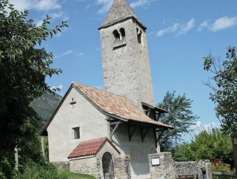
Naturns/Naturno is a vibrant hotspot of tourism and trade and an excellent place for a walk, a shopping trip or a meal. Its central street is lined with buildings that used to be inns. For a historical and cultural highlight, visit St. Proculus’ Church and the Proculus Museum. Naturns, St.-Prokulus-Straße, +39 0473 673 139, open from 1 April to 2 November, Tue–Sun and public holidays: 10 am–12:30 pm and 2:30–4:30 pm, closed on Mondays, www.naturns.it/prokulus. Head a little further into the valley and cross the Etsch river to get to Plaus, a little municipality first mentioned in records from the 13th century.
Near the Hotel Hanswirt in Rabland/Rablà, one of the two milestones marking the Via Claudia Augusta was found. Today, you can still see a replica of the milestone here. The original is kept at the Civic Museum of Bolzano/Bozen. Just around the corner, you can view the largest model railway in South Tyrol. Partschins/Parcines has the largest elevation span of all the towns in the Vinschgau valley: from the valley at 525 meters to the Roteck peak at 3337 meters. In is picturesque center, visit the Late Gothic parish church of St. Peter and Paul, the 13th-century castle winery and the typewriter museum, dedicated to Peter Mitterhofer from Partschins/Parcines, the inventor of the typewriter. Partschins, Kirchplatz 10, +39 0473 967 581, open from April to October: Mon 2–6 pm, Tue–Fri 10 am–12 noon and 2–6 pm, Sat 10 am–12 noon, www.schreibmaschinenmuseum.com.
For information about the entire route, contact
Via Claudia Augusta Info
www.viaclaudia.org/en
info@viaclaudia.org
0043 664 27 63 555
For specific questions about the region, contact
www.suedtirol.info/en
info@suedtirol.info
0039 0471 999 999

jump back to the beginning of the detailed description of the road trip route ('Altinate')
jump to northern Tyrol
jump to the Reschenpass
jump to Trento
jump to the history of the Via Claudia Augusta
jump to the history of the regions and towns along the Altinate route
jump to the ‘twenty-four maps through the centuries’ for each region along the Via Claudia Augusta
jump to the full spectrum of culture across the regions and towns (Altinate)
jump to the specialities of the regions and towns
jump to the wines of the regions and towns


The old bridge over the Etsch river in Algund/Lagundo, Marling/Marlengo and Meran/Merano
- 25
The 200-meter terrace near Töll/Tel takes you from the Vinschgau valley into the Mediterranean garden village of Algund/Lagundo. Its lower altitude and sheltered location make this region one of Italy’s warmest: palm trees, cypresses and olive trees grow alongside birch trees and sycamores. There are many gardens with southern plants here. They give the village a feeling of existing simultaneously in the Alps and the Mediterranean. The Roman road had a bridge here. It crossed the Etsch river near Schloss Forst castle, then headed back up the hill and onwards to the panoramic village of Marling/Marlengo on the western slopes above Meran/Merano. To this day, there are bridges over the Etsch river between Algund/Lagundo and Marling/Marlengo. The Brückenkopf museum in Algund/Lagundo tells the story of the historical ones. Two of the most beautiful canal paths lead through the beautiful landscapes dotted with vineyards and apple orchards, the Algunder Waal and the Marlinger Waal. In and around Meran/Merano, you will also find the only wellness spa along the Via Claudia Augusta, the gardens of Schloss Trauttmansdorf castle, and Schloss Tirol castle. The area is a holistic region of well-being awash with mother nature’s ripest bounty.


At the Etsch lock at Töll/Tel, our route forks to the left and follows the old country road to Algund/Lagundo, which corresponds to the Roman road. Right after the fork, there is a parking lot that marks the beginning of the Algunder Waalweg hiking trail. From here, you have wonderful views of the garden village and the city of Meran/Merano. The same vistas present themselves when you stand at the picturesque rest stop just by the road, where the locals have erected the huge ‘Trauttmansdorff Thrones’. Algund/Lagundo has an attractive, modern church. Although many of its houses have been rebuilt and renovated, you can still feel that the continuation of the Alte Landstraße used to lead to the spa town. The new Brückenkopf Museum on the Etsch river is dedicated to the historical roads that all crossed the river in this spot. Today, there is still a bridge here. Visitors can cross it on foot to get to the district of Forst with its eponymous castle and private brewery.
Meran/Merano used to be the site of the Castrum Maiense fortress in Late Antiquity, and it still has a lot to offer beyond its lovely old town and beautiful arcades. A two-hour walk from the parking lot at the Frauenmuseum will take you past nearly all of its sights, including the new wellness temple Therme Meran and the Sisi Gardens. The ancestral seat of the Counts of Tyrol and the famous Trauttmansdorff Castle Gardens throne above the town.
Nestled picturesquely in the slope, Marling/Marlengo has a well-preserved old town. The village and the canal path, which is the longest of its kind in South Tyrol at a length of 12 kilometers, give you spectacular views of the spa town below. Schloss Lebenberg is one of South Tyrol’s most beautiful castles. While privately owned, parts of it are open to the public.
The Via Claudia Augusta crossed the valley slightly above its bottom, sticking to the sunny slope wherever possible. Between Algund/Lagundo and Marling/Marlengo, it had to cross the valley. The Romans probably built the very first bridge across the
Etsch river here, and a bridge stands in the same spot to this day. Until the 18th century, a pillar of the old bridge protruded from the riverbed. Only some parts of the bridge entrance remain today; they are kept and showcased in a small museum building. Nine original layers of gneiss with a total height of 4 meters and a width of 6.38 meters, form the core of the exhibition about the important road that crossed Europe. A wayside shrine was placed upon its special stone plinth later. The Roman bridge was probably a wooden bridge resting on multiple stone pillars. Having undergone multiple reconstructions, it was used until the Middle Ages or even later.
For information about the entire route, contact
Via Claudia Augusta Info
www.viaclaudia.org/en
info@viaclaudia.org
0043 664 27 63 555
For specific questions about the region, contact the
tourist information offices of the individual towns
www.vinschgau.net
39022 Algund, Hans-Gamper-Platz 3
39020 Marling Kirchplatz 5
29012 Algund, Freiheitsstrasse 45
info@algund.com, info@meran.eu, info@marling.info
Algund 0039 0473 448 600, Meran 0039 0473 447 147, Marling 0039 0473 447 147

jump back to the beginning of the detailed description of the road trip route ('Altinate')
jump to northern Tyrol
jump to the Reschenpass
jump to Trento
jump to the history of the Via Claudia Augusta
jump to the history of the regions and towns along the Altinate route
jump to the ‘twenty-four maps through the centuries’ for each region along the Via Claudia Augusta
jump to the full spectrum of culture across the regions and towns (Altinate)
jump to the specialities of the regions and towns
jump to the wines of the regions and towns


Between Meran/Merano and Bolzano/Bozen, the Roman road crossed the Etschtal valley along its western slope. Prehistoric settlements existed on its many hills. In Nals/Nalles, archaeologists discovered a house with a underfloor heating system, bathing complex and apsis from late antiquity. The Aschbach river in Gargazon/Gargazzone marked the boundary between the Roman provinces of Rhaetia I and Rhaetia II. To this day, this region is a border region. From the 13th century onwards, countless fortresses sprang up, giving the area the highest density of castles in Europe. Some of the towns in the region are very old: St. George’s Church and St. Margaret’s Church in Lana both date back to the 9th century, for instance. The locals lived off the produce of their land and business which the road brought; some worked in mining. Important silver mines existed in Nals/Nalles and Terlan/Terlano. In the 15th century, as many as 1000 miners were digging for ores in more than 30 pits in Terlan/Terlano alone. From Andrian/Andriano onwards, the Etsch river was navigable, facilitating the transport of silver to the south.


The border area was inhabited at a very early stage. But the municipality of Lana was only created when Vill, Oberlana/Lana di Sopra and Niederlana/Lana di Sotto were merged in 1850. Besides the castles, palaces and stately homes of the town, attractions include the parish church Mariä Himmelfahrt in Niederlana with its Schnatterpeck altar and the South Tyrolean Museum of Fruit-Growing. The Roman provincial boundary of Aschbach river with several waterfalls makes for a lovely day out in nature.
Today, Nals/Nalles is a relatively small municipality, but it has an extensive town center that reminds visitors of its historical significance. Its countless roses have earned it the nickname ‘rose village’. Andrian/Andriano, one of South Tyrol’s smallest communities, was incorporated into Nals/Nalles by the King in 1928. It regained independence in 1953. Between them, the two little towns have five castles: Stachelburg, Schloss Payrsberg, Schwanburg with its winery, Burg Wolfsthurn, and the ruins of Burg Festenstein.
Terlan/Terlano, which includes Vilpian/Vilpiano to the north and Siebeneich/Settequerce in the south, used to be an important mining town. The Gothic parish church Maria Himmelfahrt from the 14th century with its multi-coloured steeple shingles dates back to that era. The ruins of Burg Maultasch thrones over the town as its symbol. Today, it is best known for its asparagus.
For information about the entire route, contact
Via Claudia Augusta Info
www.viaclaudia.org/en
info@viaclaudia.org
0043 664 27 63 555
For specific questions about the region, contact
www.suedtirol.info/en
info@suedtirol.info
0039 0471 999 999


jump back to the beginning of the detailed description of the road trip route ('Altinate')
jump to northern Tyrol
jump to the Reschenpass
jump to Trento
jump to the history of the Via Claudia Augusta
jump to the history of the regions and towns along the Altinate route
jump to the ‘twenty-four maps through the centuries’ for each region along the Via Claudia Augusta
jump to the full spectrum of culture across the regions and towns (Altinate)
jump to the specialities of the regions and towns
jump to the wines of the regions and towns


Researchers believe that the Pons Drusi, a bridge on the Roman road that is mentioned in early records, was located at the spot where today’s Drusus Bridge crosses the Eisack river, a little way to the west of its confluence of the Talfer and the Eisack. Before, it crossed the Etsch and the valley basin at the foot of Siegmundskron castle. The valley basin is occupied entirely by the capital of the autonomous province today. Between 1170 and 1180, the town was built as a planned market settlement with a central street and a marketplace (the Kornplatz). It was expanded several times later.


In Frangart/Frangarto at the foot of Schloss Siegmundskron, where the Messner Mountain Museum Firmian explores the relationship between humans and the mountains, the historical route and our travel route turn towards the town center. They cross the Etsch river and the wide valley basin. The alley and the bridge that lead towards the old town are named after Drusus, who once led the Romans across the Alps and ordered the expansion of the existing paths to create a road. MMM Firmian, Bozen, Sigmundskronerstraße 53, +43 0471 631 264, open from the first Sunday in March until the third Sunday in November, 10 am–6 pm, closed on Thursdays, last entry at 5 pm, www.messner-mountain-museum.it.
Leave your car at the BZ Mitte P8 parking garage behind the railway station, the small parking garage at the Rittner Cable Car, or in the underground parking garage at Waltherplatz, where our walk begins. Waltherplatz square and the monument at its center are dedicated to the troubadour Walther von der Vogelweide. From here, you can take a shuttle up to Schloss Runkelstein castle in the north of the town, which has some of the most significant profane frescoes in the Alps. +39 0471 329 808, Tue–Sun, until 15 March: 10 am–5 pm (last entry at 4:30 pm), after 16 March: 10 am–6 pm (last entry at 5:30 pm), www.runkelstein.info. Kornplatz square used to host the grain market. The mercantile museum is located in the former chamber of commerce in the middle of the picturesque Laubengasse street, +39 0471 945 702, Mon–Sat 10 am–12:30 noon. Its exhibitions recount the economic history of South Tyrol. The town hall is at the eastern end of the street. Continue a little further and you will find the Nature Museum of South Tyrol +39 0471 412 964, open Tue–Sun, 10 am–6 pm, www.naturmuseum.it. For a lovely view of the town, walk a few minutes to the Rittner cable car and let it take you to the Ritten high plateau. Operates all year round. www.ritten.com. Franziskanerstraße leads to the Franciscan Church, the Franciscan Monastery and the western end of the Laubengasse. A little further to the west, you will find the South Tyrol Museum of Archaeology with the preserved body of Ötzi the Iceman, +39 0471 320 100, opening hours in July, August and December: every day 10 am–6 pm, closed on Mondays in all other months, last entry at 5:30 pm, www.iceman.it. There is also the Civic Museum, which houses one of the two original milestones that document the existence of the Via Claudia Augusta +39 0471 997 960, Tue–Sun, 10 am–6 pm. Cross the Talferbrücke bridge to see the Victory Monument, one of the last remaining monuments erected during fascism. Cross the Talfer river on the new cycle and pedestrian bridge and head to the Museion, a museum of modern and contemporary art. +39 0471 223 413, open Tues–Sun: 10 am–6 pm, last entry: 5:30 pm, Thu: 10 am–10 pm, free entry from 6–10 pm, free guided tour at 7 pm, last entry at 9:30 pm, www.museion.it. The town theater and concert hall are located in a building near the Eisack river. Finish your tour of the town at the Gothic cathedral Maria Himmelfahrt from the 12th century and admire its treasury. It used to stand outside of the town walls. +39 0471 978 676, Tue–Sat: 10 am–12 noon.
The travel route takes you across the Loretobrücke bridge, following the Roman road to Laives/Leifers, the southernmost town of South Tyrol.
For information about the entire route, contact
Via Claudia Augusta Info
www.viaclaudia.org/en
info@viaclaudia.org
0043 664 27 63 555
For specific questions about the region, contact
www.suedtirol.info/en
info@suedtirol.info
0039 0471 999 999
jump back to the beginning of the detailed description of the road trip route ('Altinate')
jump to northern Tyrol
jump to the Reschenpass
jump to Trento
jump to the history of the Via Claudia Augusta
jump to the history of the regions and towns along the Altinate route
jump to the ‘twenty-four maps through the centuries’ for each region along the Via Claudia Augusta
jump to the full spectrum of culture across the regions and towns (Altinate)
jump to the specialities of the regions and towns
jump to the wines of the regions and towns


Bridges used to be expensive and difficult to build and maintain. That is why they were few and far between, and a road had to be built into the slopes on both sides of the river. A Roman road probably ran along today’s South Tyrolean Wine Road, crossing the well-known wine-growing villages of St. Pauls/San Paolo, St. Michael/San Michele, Kaltern am See/Caldaro, Tramin/Termeno, Kurtatsch/Cortaccia, Margreid/Magrè, and Kurtinig/Cortina. The Via Claudia Augusta itself is likely to have clung to the eastern slope on its way to the south. It would have led from the foot of the striking Castelfeder hill in Auer/Ora, which has been a site of human settlement for millennia, to the proven Roman road station of Endidae in the modern village of Neumarkt/Egna and onwards to Salorno/Salurn, where the famous Salurner Klause used to be. From Bronzolo/Branzoll near South Tyrol’s southernmost and most recently built city, Laives/Leifers, the Etsch river was navigable by raft. Until the construction of the railway, it was the most important transportation route for the economy of South Tyrol and Trentino.


Laives/Leifers, Bronzolo/Branzoll and Vadena/Pfatten are some of the few towns other than Bolzano/Bozen that are primarily inhabited by Italian-speaking South Tyroleans. From Vadena/Pfatten onwards, the Etsch river became navigable.
The municipality of Eppan/Apiano in the north of the ‘Überetsch’, a hilly landscape above the bottom of the valley, consists of several towns. In 2005, archaeologists discovered remnants of a Roman villa with floor mosaics from the 4th century and a spa complex in St. Pauls/San Paolo. The municipality was first mentioned in records from 590. Its current municipal capital of St. Michael/San Michele and the former capital of St. Pauls/San Paolo, which is home to one of the state’s tallest steeples, both have picturesque town centers. The wine-growing village of Kaltern/Caldaro on the Kalterer See lake has a picture-perfect pedestrian center. Located on the toe of the Mendelkamm, it is separated from the river by the Mitterberg. To the south of the municipal capital, the vineyards slope down to the Kalterer See, a protected natural gem and the warmest swimming lake south of the Alps.
The striking Castelfeder hill near Auer/Ora gives you great views of the valley. Because of the shelter the hill provides, it became a site of human settlement long before the birth of Christ and was inhabited in Roman times. Some of the excavations of the Roman road station of Endidae in Neumarkt/Egna are still open to visitors. The extensive historical center of the market town is dotted with arcades. Most of it dates to the 16th century. Laag/Laghetti in the south is probably named after a lake, located where the Etsch river was dammed by drift from the Noce river. Near Salorno/Salurn, the Etschtal valley narrows into the Salurner Klause. It separates the South Tyrolean lowlands from the Piana Rotaliana. Salorno/Salurn and Buchholz/Pochi both developed from Roman settlements. The first mention of Salorno/Salurn is found in records from 575 B. C. The town has a picturesque historical center overlooked by the Haderburg.
Tramin/Termeno is known for its famous grape variety, the Gewürztraminer. It has an extensive old town with magnificent churches nestled in the hill. Archaeological finds have shown that Kurtatsch/Cortaccia was inhabited as early as the Mesolithic. The townsfolk were converted to Christianity by Vigilius of Trent in the 4th century. A Roman pilgrimage church from the 13th century is dedicated to him here. As soon as you enter Margreid/Magrè, you will notice its long tradition of fruit and wine growing. Its picturesque center with its bendy alleyways has clear Mediterranean influences. The little municipality of Kurtinig/Cortina, which sits in the valley with an elevation span of only 4 meters, was a fruitful hunting and fishing grounds as early as the Stone Age and the Roman era.
For information about the entire route, contact
Via Claudia Augusta Info
www.viaclaudia.org/en
info@viaclaudia.org
0043 664 27 63 555
For specific questions about the region, contact
www.suedtirol.info/en
info@suedtirol.info
0039 0471 999 999


jump back to the beginning of the detailed description of the road trip route ('Altinate')
jump to northern Tyrol
jump to the Reschenpass
jump to Trento
jump to the history of the Via Claudia Augusta
jump to the history of the regions and towns along the Altinate route
jump to the ‘twenty-four maps through the centuries’ for each region along the Via Claudia Augusta
jump to the full spectrum of culture across the regions and towns (Altinate)
jump to the specialities of the regions and towns
jump to the wines of the regions and towns


The drift washed up by the Noce river from the Nonstal valley dammed the Etsch river, creating a large lake that filled the entire valley. It formed a natural border between the municipalities in the south of South Tyrol, those of the Nonstal valley, and those to the north of Trento. This made it more difficult for the people of the various localities to interact with each other and contributed to the emergence of the language border between the German-speaking and Italian-speaking areas. Today, the inhabitants of the Piana Rotaliana all speak Italian. But the water also created a border across the region: Mezzocorona (Kronmetz), today’s agricultural center, is culturally more German, while the traditional mercantile centers of Mezzolombardo at the entrance to the Nonstal valley and Lavis at the entrance of the Avisio valley are culturally Italian with impressive palazzi. The lake no longer exists. The soil on the drift from the Noce river is particularly fertile. All of the Piana Rotaliana and its slopes are covered in vineyards, where the famous Teroldego grapes ripen – a regional specialty. The former Foundation of San Michele all’Adige contributed considerably to the flourishing of this region. To this day, its Istituto Agrario is the agricultural competence center of the entire Trentino, and its local-history museum documents the customs and traditions of the state. Of all the palaces and fortresses in the region, the San Gottardo grotto castle behind Mezzocorona is the best known.


In the picturesque old town of Roverè della Luna, the first Italian-speaking community on our route, visit the former cemetery chapel St. Anna from the late 15th century. Prehistorical discoveries have shown that Mezzocorona was inhabited in pre-Roman times. Archaeologists have found evidence that it was an important hub on the Roman road. Mezzocorona has an attractive, large church square. A few meters away, a gondola lift takes you up to a high plateau on the peak of the rugged Monte mountain chain, where you will be treated to magnificent views.
Nestled in the slope, the town of Mezzolombardo offers picturesque terraced houses and many palazzi. It is a commercial center on the old road to the Nonstal valley. Located on the foot of the San Pietro church and the Castello della Torre fortress, the town is a lovely destination for a walk, a coffee, an ice cream or a shopping trip to the many little shops that its locals frequent.
The former Augustinian monastery of San Michele also houses the ‘Museo degli Usi e Costumi della Gente Trentina’, the ethnographic museum of Trentino. Via Mach 2, +39 046 650 314, open daily 9 am–12:30 noon and 2:30 pm–6 pm, only closed on 1 November, 25 December and 1 January, www.museosanmichele.it.
The wine-growing village of Faedo thrones above the valley like an eagle’s nest. As the name suggests, Nave San Rocco used to be a ferry port and rafters’ town on the Etsch river, which was the most important economic factor of the valley for a long time. Zambana is famous for its asparagus. Only the steeple remains of its old center. Everything else was buried in a catastrophic landslide in 1955. Lavis is the final stop on your route before crossing the Avisio stream into Trento. It has a picturesque old town with many attractive buildings. The Ciucioi, a mysterious hanging garden lined with romantic ruins, dominates the valley below and is well worth a visit.
For information about the entire route, contact
Via Claudia Augusta Info
www.viaclaudia.org/en
info@viaclaudia.org
0043 664 27 63 555
For specific questions about the region, contact
Tourist information office of the Consorzio Turistico Piana Rotaliana Königsberg
www.pianarotaliana.it
info@pianarotaliana.it
38017 Mezzolombardo, Corso del Popolo, 35
0039 0461 175 25 25


jump back to the beginning of the detailed description of the road trip route ('Altinate')
jump to northern Tyrol
jump to the Reschenpass
jump to Trento
jump to the history of the Via Claudia Augusta
jump to the history of the regions and towns along the Altinate route
jump to the ‘twenty-four maps through the centuries’ for each region along the Via Claudia Augusta
jump to the full spectrum of culture across the regions and towns (Altinate)
jump to the specialities of the regions and towns
jump to the wines of the regions and towns


Trento (towards Feltre, Treviso, Altino, Venice) Tridentum, a Roman traffic hub
- 31a
As the name suggests, Trento has Rhaetian origins. It was already an important traffic hub during their time. In Tridentum, the Via Claudia Augusta forked. One section, the Via Claudia Augusta Altinate, led to the Adriatic port town of Altinum near today’s Venice. The other section, the Via Claudia Augusta Padana, continued to the riverport of Ostiglia on the Po. From there, another road led to Rome. The later historical significance of the city is primarily due to the Council of Trent (1545–1563). It initiated the Counter-Reformation and delineated its intellectual foundations. The map of today’s Old Town was shaped significantly during that period. Later, Baroque buildings were added to the Renaissance-style district. Until the invasion of the Napoleonic Troops, the prince-bishops of Trento rules over the city and the surrounding region from the their base in the majestic Buonconsiglio Castle.


The city begins at the bridge across the Avisio river in Lavis. In Roman times, the old road towards Altino near Venice led up the hill to the Valsugana. Our route largely follows the historical route into the town of Meano, where you can catch your first glimpse of the birthplace of the Council of Trent.
You can leave your car in the car park at Via Torre Verde 40 on the edge of the old town while you go for a leisurely walk. As you enter the historical part of the city, the tourist information office and contemporary art gallery will be among the first buildings you see. Head towards the Piazza Cesare Battisti. The excavated ancient Roman city of Tridentum is located underneath it. Walk down Via Belenzani, lined with Renaissance palazzi, and pass the town hall inside the Palazzo Thun to reach the cathedral square. The parallel alleys of Via Cavour to the west and Via Oss Mazzurana to the east can easily compete with the splendor of their larger neighbor. The Tridentine Diocesan Museum and the Vigilio Cathedral are also on the cathedral square. Finish your walk at Buonconsiglio Castle, where you can visit the historical museum of Trento.
Head past the Buonconsiglio castle and take a left at the large intersection to exit the town and head towards the Valsugana. Do not forget to look back and enjoy the splendid view of the town on your way out.
jump to the detailed description of the cycling route (Padana)
jump back to the beginning of the detailed description of the road trip route ('Altinate')
jump to northern Tyrol
jump to the Reschenpass
jump to Trento
jump to the history of the Via Claudia Augusta
jump to the history of the regions and towns along the Altinate route
jump to the ‘twenty-four maps through the centuries’ for each region along the Via Claudia Augusta
jump to the full spectrum of culture across the regions and towns (Altinate)
jump to the specialities of the regions and towns
jump to the wines of the regions and towns


Archaeological excavations have produced evidence of early human settlement in the valley between Trento and Veneto. Castles, such as that towering above Pergine, helped their inhabitants monitor the crucial road. The Alta Valsugana has been in Trento’s sphere of influence ever since. During the First World War, the region was a fiercely contested battleground: the border between Austro-Hungary and Italy was right around the corner, to the south of the high plateau of Lavarone. Countless fortress complexes bear witness to that period. Two large swimming lakes, the Caldonazzosee and Levicosee, characterize the area. The Valsugana has been a popular spa destination since the time of the House of Habsburg, offering the spa towns of Levico Terme and Roncegno Terme.


Our travel route leads up a slop to the Valsugana. As you enter the valley, you are immediately greeted by the first of many Austro-Hungarian fortresses from the First World War. Inside the church in the picturesque old town center of Civezzano, you can see Trentino’s oldest church organ. This town also offers the Ecomuseo Argentario, which tells the story of the medieval silver mining business. The region of Pergine Valsugana has been inhabited since prehistoric times. At its heyday, it was a mining center. Today’s municipality was created when 13 communities were merged in 1928. The old town with its splendid town hall and the Renaissance street Via Maier give you a glimpse of its former glory. Pergine is overlooked by the eponymous castle, which is believed to have Roman origins. The historical route of the Via Claudia Augusta is believed to have run along the mountain ridge in Tenna between the Caldonazzo and Levicosee lakes. That is where the milestone was found. Our travel route takes us along the slope to the north of the Levicosee lake to the eponymous spa town. Alternatively, you can head south to drive around the Caldonazzo lake.
The House of Habsburg granted Levico town privileges, making it the only town in the Alta Valsugana. It used to be a garrison town and a popular holiday destination that attracted the Habsburgs and the upper classes of Austro-Hungary. At the center of its extensive old town with its many picturesque alleyways, you will find the spa gardens and the Grandhotel Terme. You can also view a Roman sarcophagus in Levico.
For information about the entire route, contact the
Via Claudia Augusta Info
www.viaclaudia.org/en
info@viaclaudia.org
0043 664 27 63 555
For specific questions about the region, contact the
tourist information office of the APT Valsugana Lagorai
www.visitvalsugana.it/en
38057 Pergine Valsugana, Piazza Serra, 10
38056 Levico Terme, Viale Vittorio Emanuele III, 3
38051 Borgo Valsugana, Piazza De Gasperi
38053 Castello Tesino, Via Dante, 10
info@visitvalsugana.it
0039 0461 727 700


jump to the detailed description of the cycling route (Padana)
jump back to the beginning of the detailed description of the road trip route ('Altinate')
jump to northern Tyrol
jump to the Reschenpass
jump to Trento
jump to the history of the Via Claudia Augusta
jump to the history of the regions and towns along the Altinate route
jump to the ‘twenty-four maps through the centuries’ for each region along the Via Claudia Augusta
jump to the full spectrum of culture across the regions and towns (Altinate)
jump to the specialities of the regions and towns
jump to the wines of the regions and towns


The Torre Quadra, a tower on the meadow next to the road leading up to Novaledo, is a remnant of the dam that used to cross the valley here. This is where Trento’s sphere of influence bordered that of Feltre. You will notice the Venetian influence in the medieval commune of Borgo Valsugana immediately. It is likely that the Roman road also ran along the sunny slopes of the central Valsugana. Several fortresses line its path. In the valley basin to the east of Borgo, the Via Claudia Augusta ascended towards the mountain again: the Brenta river used to flood the valley here, making it impassable on a regular basis.


On the way to Borgo, our travel route clings to the sunny slope as it crosses Selva, a district of Levico. The Roman road is believed to have followed the same route. Novaledo, Marter and Roncegno Terme, the smaller of two spa towns in the valley. Apart from the Torre Quadra, the town of Marter just past Novaledo still has ruins of medieval fortresses. They continue on the slopes; some of them are still visible. Afterwards, the travel route leads you through the pretty center of the spa town of Roncegno Terme before continuing to Borgo Valsugana, overlooked by Telvana castle. While you can easily spot the castle from afar, its interior is unfortunately closed to the public.
Borgo was shaped by the Brenta river and a long arcade on its shore. Its Venetian influences are unmistakable. The sights of Borgo include the large Piazza Degasperi with the town hall and the Chiesa di Sant‘Anna. From the latter, cross the Venetian bridge to the Corso Ausugum, the old road through the town. Much like Levico, Borgo Valsugana used to be a garrison town during the time of the Austro-Hungarian Monarchy. Besides the picturesque old town on the River Brenta, the art park Arte Sella in the Sella valley, eight kilometers away from here, is an excellent place for discovery, photography and relaxation.
Borgo is located in a narrow section of the Sugana valley. Past the town, the valley widens once more before narrowing further and further. In the past, the Brenta used to flood this narrow section regularly. That is why the Roman road crossed two passes to get to the Veneto region. Before the historical route and our travel route climb towards the Tesino high valley, we cross the towns of Castelnuovo, Scurelle and Strigno. Spera and Samone are located on the sunny slope a little further above. Ivano Castle thrones above the basin.
For information about the entire route, contact the
Via Claudia Augusta Info
www.viaclaudia.org/en
info@viaclaudia.org
0043 664 27 63 555
For specific questions about the region, contact the
tourist information office of the APT Valsugana Lagorai
www.visitvalsugana.it/en
38057 Pergine Valsugana, Piazza Serra, 10
38056 Levico Terme, Viale Vittorio Emanuele III, 3
38051 Borgo Valsugana, Piazza De Gasperi
38053 Castello Tesino, Via Dante, 10
info@visitvalsugana.it
0039 0461 727 700

jump to the detailed description of the cycling route (Padana)
jump back to the beginning of the detailed description of the road trip route ('Altinate')
jump to northern Tyrol
jump to the Reschenpass
jump to Trento
jump to the history of the Via Claudia Augusta
jump to the history of the regions and towns along the Altinate route
jump to the ‘twenty-four maps through the centuries’ for each region along the Via Claudia Augusta
jump to the full spectrum of culture across the regions and towns (Altinate)
jump to the specialities of the regions and towns
jump to the wines of the regions and towns


The Roman road ascended from the Valsugana to the Tesino high valley, crossing the deep river valley of the Senaiga at the regional border between Trentino and Veneto before heading across the Croce D‘Aune Pass to Feltre. Following in its footsteps, the hiking route takes you through diverse landscapes and picturesque villages as it reaches the gateway to the Dolomites. The important old road has left its marks along its route. Lamon is where the internationally renowned Lamon beans are grown, by the way.


From Strigno, the road crosses a valley and climbs steeply to the Tesino high valley. Its towns have always depended on the business brought in by the road. Today, this business comes in the form of tourists seeking to explore and enjoy the beautiful mountains. The reddish and greenish walls of the Lagorai range are of volcanic origin. From the rest spot near the bridge between Beino and Pieve Tesino, you can clearly see the old road as it crosses the wild stream below. The elongated, narrow alleyways that cross Pieve Tesino from east to west are also remnants of the road. Alcide De Gasperi’s birthplace of Pieve Tesino has dedicated a museum to the Austro-Hungarian politician and founding father der European Union: 38050 Pieve Tesino, +39 345 848 99 75 or +39 339 698 4804, open 1 June to 30 September: Tue–Fri 3–6 pm, Sat 1 am–12 noon and 3–6 pm, Sun 3–6 pm; 1 October to 31 May: Fri 3–6 pm, Sat 10 am–12 noon and 3–6 pm, Sun 3–6 pm. Just before Castello Tesino, there is a bridge. It stands on the old Roman road, which is still visible here, but was probably rebuilt in the Middle Ages based on its Roman predecessor. There used to be a Roman fortress above the town, where the little church of Sant’Ippolito stands today.
As you continue to Lamon, you are treated to breathtaking views of the deep gorges cut into the virtually uninhabited borderlands by its wild streams. On the opposite site, the Via Claudia Augusta used to cross the Senaiga stream. Below San Donato, which sprang up and developed on the Roman road, archaeologists discovered an ancient cemetery. The opulent grave goods are exhibited at the little archaeological museum in Lamon, where you can learn about the history of human settlement in the region. Central Lamon, +39 328 311 83 36, fixed opening hours during summer, open upon arrangement during the remaining year. At the end of the deep gorge in the border area, you will find a stalactite cave. It is only accessible upon prior arrangement – call +39 0461 593 322. Our route now takes you along the southern edge of the Dolomiti Bellunesi national park and through the little villages of the Sovramonte municipality.
For information about the entire route, contact the
Via Claudia Augusta Info
www.viaclaudia.org/en
info@viaclaudia.org
0043 664 27 63 555
For specific questions about the region up to Castello Tesino, contact the
tourist information office of the APT Valsugana Lagorai
www.visitvalsugana.it/en
38057 Pergine Valsugana, Piazza Serra, 10
38056 Levico Terme, Viale Vittorio Emanuele III, 3
38051 Borgo Valsugana, Piazza De Gasperi
38053 Castello Tesino, Via Dante, 10
info@visitvalsugana.it
0039 0461 727 700
For specific questions about the region from San Donato (municipality of Lamon) onwards, contact the
tourist information office of the Consorzio Turistico Dolomiti Prealpi
www.dolomitiprealpi.it
32032 Feltre, Piazza Vittorio Emanuele II, 21
32026 Mel, Piazza Papa Luciani
info@dolomitiprealpi
0039 329 272 900


jump to the detailed description of the cycling route (Padana)
jump back to the beginning of the detailed description of the road trip route ('Altinate')
jump to northern Tyrol
jump to the Reschenpass
jump to Trento
jump to the history of the Via Claudia Augusta
jump to the history of the regions and towns along the Altinate route
jump to the ‘twenty-four maps through the centuries’ for each region along the Via Claudia Augusta
jump to the full spectrum of culture across the regions and towns (Altinate)
jump to the specialities of the regions and towns
jump to the wines of the regions and towns


Feltre has been a traffic hub since prehistoric times. The narrow mountain ridge on which its attractive old town stands and the surrounding sunny slopes have also been inhabited ever since. We know this because of the Etruscan name of Feltre and many archaeological findings. The Roman road Via Claudia Augusta did not lead directly into the town. Instead, it ran in a straight line from the Croce D’Aune Pass to Cesiomaggiore, clinging to the slope. Feltria was a significant Roman town. Its architecture and layout clearly exhibit the influence of the Doges of Venice. Feltre’s sphere of influence reached all the way to the Valsugana at times.


Today, the Via Claudia Augusta long-distance hiking route follows the route of the old Roman road. Our travel route takes the pass road from Croce D‘Aune to Pedavena, whose old town hall houses the administration of the Dolomiti Bellunesi national park. You will pass the traditional Fabbrica di Pedavena on the way, which houses an exhibition on the history of beer-making — in Pedavena and in general. It also has Italy’s largest pub, the Birreria Pedavena, where you can try their many beers along with tasty dishes.
Most of the extensive old town is located on a long ridge, which you can cross by car for a quick look. Head through the gate in the southwest of the old town and leave through the other gate in the east. If you want to see more of the town, leave your car at the northern or the southern parking lot; they are connected by a pedestrian underpass. Climb the picturesque staircase of the tower on the southern town wall to reach the center. Turn right to the Museo Civico and the eastern gate. On the Piazza Maggiore, you can see the town hall and the church of the Saints Rocco and Sebastiano. The town hall houses the Teatro de La Sena, which is considered the little brother of the Teatro la Fenice in Venice. From the piazza, head uphill to the Castello di Alboino fortress. Afterwards, visit the diocesan museum and the contemporary art gallery of Carlo Rizzarda. Leave the town and visit the cathedral outside its walls. Underneath its square, you can see archaeological excavations of Roman Feltria. Cross the monastery grounds and walk back to the parking lot in the south or the pedestrian crossing.
Cross the foothills of the Dolomites and continue to Cesiomaggiore, where the Historical Bicycle Museum awaits. Between Feltre and Cesiomaggiore, there are many old country estates owned by the wealthy inhabitants of the region. One of them, the Villa delle Centenere, houses one of the two milestones of the Via Claudia Augusta. Our route loops through the valley and takes you through Santa Giustina to Mel, beautifully situated on a hill.
For information, contact
Via Claudia Augusta Info
www.viaclaudia.org/en
info@viaclaudia.org
0043 664 27 63 555
For specific questions about the region, contact the
tourist information office of the Consorzio Turistico Dolomiti Prealpi
www.dolomitiprealpi.it
32032 Feltre, Piazza Vittorio Emanuele II, 21
32026 Mel, Piazza Papa Luciani
info@dolomitiprealpi
0039 329 272 900


jump to the detailed description of the cycling route (Padana)
jump back to the beginning of the detailed description of the road trip route ('Altinate')
jump to northern Tyrol
jump to the Reschenpass
jump to Trento
jump to the history of the Via Claudia Augusta
jump to the history of the regions and towns along the Altinate route
jump to the ‘twenty-four maps through the centuries’ for each region along the Via Claudia Augusta
jump to the full spectrum of culture across the regions and towns (Altinate)
jump to the specialities of the regions and towns
jump to the wines of the regions and towns


The Valbelluna is the southern part of the Valle del Piave between the provincial capital of Belluno and the border with the province of Treviso to the south. It used to be called Val Serpentina in the past. Nestled between the foothills of the Dolomites and the last mountain ridge before the Venetian Plain, this stunning valley is dominated by the wide and largely untouched riverbed of the Piave. In Roman times as today, there have never been many bridges crossing the river. One of the few that did exist stood between Santa Giustina and the municipality of Borgo Valbelluna – strictly speaking, its capital of Mel, picturesquely located on a hill. The name ‘Nave’ (= ship) reminds us of the historical river crossing. On the southern slope between Mel and Lentiai, the Castello di Zumelle thrones above the valley. In this section, the Roman road climbed its southernmost pass, the Praderadego. Between Borgo Valbelluna and the municipalities of Quero Vas and Alano di Piave, the valley narrowed and was occasionally flooded by the Piave. This made it unsuitable for a road like the Via Claudia Augusta, which was built to ensure military reinforcements.


Mel has an attractive center with a large piazza and a little archaeological museum. The old Roman road climbed up its last pass between Mel and Lentiai. Zumelle Castle, excellently renovated, towers above the old pass road. An old arch bridge from the Byzantine Empire located in the deciduous wood above Bardies emphasizes the significance of the road. Cross Lentiai and its large piazza to visit the pilgrimage church of St. Vittore and Corona. It was established in the early 11th century. Afterwards, our travel route follows the Piave to the south along its narrow valley.
Cross Lentiai and its large piazza to visit the pilgrimage church of St. Vittore and Corona. It was established in the early 11th century. Afterwards, our travel route follows the Piave to the south along its narrow valley.
For information, contact
Via Claudia Augusta Info
www.viaclaudia.org/en
info@viaclaudia.org
0043 664 27 63 555
For specific questions about the region, contact the
tourist information office of the Consorzio Turistico Dolomiti Prealpi
www.dolomitiprealpi.it
32032 Feltre, Piazza Vittorio Emanuele II, 21
32026 Mel, Piazza Papa Luciani
info@dolomitiprealpi
0039 329 272 900
jump to the detailed description of the cycling route (Padana)
jump back to the beginning of the detailed description of the road trip route ('Altinate')
jump to northern Tyrol
jump to the Reschenpass
jump to Trento
jump to the history of the Via Claudia Augusta
jump to the history of the regions and towns along the Altinate route
jump to the ‘twenty-four maps through the centuries’ for each region along the Via Claudia Augusta
jump to the full spectrum of culture across the regions and towns (Altinate)
jump to the specialities of the regions and towns
jump to the wines of the regions and towns


The transition from the Alps to the Venetian Plain is gradual rather than abrupt. To the south of the last mountain ridge and the last pass of the Via Claudia Augusta lies the front garden of the Alps: the Prosecco wine hills of the Altamarca, the northernmost part of Treviso. Two wine roads snake their way through the picturesque region, taking travellers past interesting sights, pretty wine-growing villages and the best wine they will find. They are the Strada del Prosecco e Vini dei Colli Conegliano Valdobbiadene and the Strada del Vino del Montello e dei Colli Asolani.


We follow the Prosecco Wine Road through the towns of the Valdobbiadene, the most famous prosecco-growing municipality. It has a striking piazza. Having crossed its final pass, the historical route entered the hilly Venetian Plain in Follina. In the historical town center of Follina, the eponymous monastery is worth a visit. A little to the north of Follina, the Renaissance palace of Castelbrando thrones above the historical road. You can reach it by taking the inclined elevator from Cison di Valmarino. Today, the palace houses a wellness and congress hotel, restaurants, and several exhibitions.
The next municipality, Pieve di Soligo, has an attractive old town built around the Soligo river and an impressive piazza. The large palace on the square will be converted into the new town hall soon. Keep your eyes open just before you reach the Castello Collalto: there are remnants of the Via Claudia Augusta on the shore of the River Piave here. Between the Castello and the municipality of Susegana, our route leads you across the picturesque Prosecco Hills. The Castello San Salvatore thrones on one of them. At the edge of Susegana, there are the pretty Del Carmine church and the Collalto winery. From Susegana, you can visit Conegliano, the regional capital with a population of nearly 35,000. It is famous for its Dama Castellana, a special chess or 'dama' game where the pieces are represented by actual real people in traditional costumes, and has a lovely old town. Drive through the rural commune of Santa Lucia di Piave, which hosts annual agricultural conferences, to reach the Ponte della Priula, a part of the Susegana. Here, our route crosses the wide and largely unspoilt riverbed of the Piave.
For information about the entire route, contact the
Via Claudia Augusta Info
www.viaclaudia.org/en
info@viaclaudia.org
0043 664 27 63 555
For specific questions about the region up to Praderadego/Quero-Vas, contact
the tourist information office of the Consorzio Turistico Dolomiti Prealpi
www.dolomitiprealpi.it
32032 Feltre, Piazza Vittorio Emanuele II, 21
32026 Mel, Piazza Papa Luciani
info@dolomitiprealpi
0039 329 272 900
For specific questions about the region from Praderadego/Valdobbiadene onwards, contact the
Consorzio Turistico Marca Treviso
www.marcatreviso.it
info@marcatreviso.it
0039 0422 595 790
jump to the detailed description of the cycling route (Padana)
jump back to the beginning of the detailed description of the road trip route ('Altinate')
jump to northern Tyrol
jump to the Reschenpass
jump to Trento
jump to the history of the Via Claudia Augusta
jump to the history of the regions and towns along the Altinate route
jump to the ‘twenty-four maps through the centuries’ for each region along the Via Claudia Augusta
jump to the full spectrum of culture across the regions and towns (Altinate)
jump to the specialities of the regions and towns
jump to the wines of the regions and towns


There are several theories about the course of the Via Claudia Augusta, and Italian archaeologists are yet to reach consensus on which is correct. That is why, after crossing the Prosecco Hills to the left of the Piave (teoria sinistra Piave), our cycling route follows the teoria destra Piave for a little while, running along the barely regulated, wide right-hand bank of the river. The alluvial area at the center of the Trevisan Plain was always a region of transit, influenced by a wide range of factors. It is likely that there was a settlement here during Roman times. Even the name Spresiano is said to have Roman origins. The towns of Nervesa della Battaglia, Spresiano and Villorba are documented as early as the 10th century. This region was not blessed with fertile soil. Only the ford across the Piave and the raft-making business created work for some of the local residents. The population was poor; their situation only improved after the Republic of Venice built irrigation systems. Many Ville Venete, which are typical of the region, date back to that area. The region suffered great losses during the two battles of the River Piave during the First World War. Nervesa della Battaglia, which is even named after a battle, was razed to the ground nearly completely. Today, the ruins of the 14th-century Saint Eustace Abbey remind visitors of the tragedy. The towns only began to flourish when a textile industry developed after the Second World War.


Nervesa suffered particularly great damage during the devastating battles of the First World War. The ruins of the Abbey of Sant'Eustachio from the 14th century are a powerful peace memorial. Today, concerts are hosted here. On the right side of the Piave, a wine road beckons you to take a detour to the Montello mountain and the Colli Asolani hills. They are covered in a mosaic of vineyards and diverse natural vegetation. The ruin of the San Eustacchio Abbey south of Nervesa della Battaglia is a memorial to the devastating battles of the First World War. From here on, the route is lines with wineries and wine-growing towns. The town of Asolo, which was inhabited by the Veneti in the 6th/7th century, is particularly worth visiting.
The municipal capital of Spresiano is home to the attractive Villa Giustiniani-Recanati, a parish church and a monument to the fallen of the Second World War. In the district of Visnadello, visit the Sankt Filippo and Giacomo Minore church and the Villa Gritti. The hamlet of Lovadina offers the Palazzo Bove from the 15th century. Villorba deserves its name: it is home to many of the famous "Ville Venete”, which are typical for the region. One of them, the Villa Giovannina, houses the representative part of the municipal administration today and is open to the public during business hours.
For information about the entire route, contact the
Via Claudia Augusta Info
www.viaclaudia.org/en
info@viaclaudia.org
0043 664 27 63 555
For specific questions about the region, contact the
Consorzio Turistico Marca Treviso
www.marcatreviso.it
info@marcatreviso.it
0039 0422 595 790
jump to the detailed description of the cycling route (Padana)
jump back to the beginning of the detailed description of the road trip route ('Altinate')
jump to northern Tyrol
jump to the Reschenpass
jump to Trento
jump to the history of the Via Claudia Augusta
jump to the history of the regions and towns along the Altinate route
jump to the ‘twenty-four maps through the centuries’ for each region along the Via Claudia Augusta
jump to the full spectrum of culture across the regions and towns (Altinate)
jump to the specialities of the regions and towns
jump to the wines of the regions and towns


Treviso is located at the center of an agricultural region at the confluence of the Botteniga and the Sile. Humans settled here as early as the Bronze Age. In 49 B. C., the Romans granted town privileges to Tarvisium. It was mentioned as an episcopal see as early as 396 A. D. Following a long period of disputes, during which Venice demanded the liberalization of trade by the provinces of Padua and Treviso, the city was ultimately incorporated into the Republic of Venice over the course of several centuries. Its extensive old town is enclosed nearly entirely by a wall and a canal that runs along its outside. A wide network of canals inside the city gave Treviso its nickname of ‘città delle acque’. It is also considered a ‘città dell‘arte’.


Our travel route runs counterclockwise around the old town, which is completely surrounded by a canal and the River Sile. Coming from the north, you directly approach the San Tommaso gate. If you want to see the old town, approach the center from the south instead: there is better parking in this part.
The old town of Treviso is a treasure trove of sights. Crossed by countless canals and lined with typically painted townhouses, it is a truly charming place. Take a leisurely walk through its alleyways to soak up the special charm of Treviso. Our suggested route is just one of many ways to see some of the town and its attractions in a short period of time. It takes you to the Sankt Nikolaus church from the 13th and 14th century and to the striking cathedral of the diocesan town. In the north, the town wall is accessible. Our walk also takes you to the Franciscan church and monastery and the Palazzo dei Trecento, a 13th-century palace with lovely frescoes situated on the picturesque Piazza dei Signori.
For information about the entire route, contact the
Via Claudia Augusta Info
www.viaclaudia.org/en
info@viaclaudia.org
0043 664 27 63 555
For specific questions about the region, contact the
Consorzio Turistico Marca Treviso
www.marcatreviso.it
info@marcatreviso.it
0039 0422 595 790
jump to the detailed description of the cycling route (Padana)
jump back to the beginning of the detailed description of the road trip route ('Altinate')
jump to northern Tyrol
jump to the Reschenpass
jump to Trento
jump to the history of the Via Claudia Augusta
jump to the history of the regions and towns along the Altinate route
jump to the ‘twenty-four maps through the centuries’ for each region along the Via Claudia Augusta
jump to the full spectrum of culture across the regions and towns (Altinate)
jump to the specialities of the regions and towns
jump to the wines of the regions and towns


The villages to the south of Treviso are connected by the old road and by the natural park that stretches along the Sile. This picturesque river is truly unique: it remains calm during storms, maintains the same temperature all year round and carries very little debris. Its soil is ideal for water plants. House boats and excursion cruisers travel along this natural jewel between Venice and Treviso. Human settlements have existed in the area along the river since the Neolithic. Its oldest towns were mentioned as early as the 11th and 12th century, and they are all on the route of the old Roman road. Today, a tarmac road follows some of the old track. In Roncade, consider visiting the Castello di Roncade, which stores and sells its very own wines.


The Sile river has always been an important communication and trade route. Today, tourist boats navigate it, too. Until 1970, the river was used by burci, large boats used to transport heavy goods. You can still see them at the Burci Cemetery in Casier on the shore opposite Silea. Silea, which has a population of more than 10,000 today, has been inhabited since the 2nd century A. D. Its oldest settlements were in the modern districts of Sant‘Elena and Cendon on the old Roman road. The same two towns were the first to be mentioned in medieval records, too. Silea used to be called Melma and was only named after the river in 1935.
Roncade, today home to 14,000 people, has been a site of human settlement since the Neolithic. In Roman times, most of the population was concentrated in the district of Musestre, where the Via Claudia Augusta used to cross the Sile river. After its incorporation into the Republic of Venice, the town began to develop rapidly after 1500 A.D.. Several villas bear witness to that economic boom. The Renaissance villa Giustinian at the Castello di Roncade, which is also a renowned winery, is the most significant of them all. Other sights include the parish church and chapel at the Kastell, which house an important cycle of Baroque paintings. The winery ‘47 Anno Domini’ (named after the year in which the Via Claudia Augusta was completed) is situated between Roncade and Silea, right on the historical route of the Roman road. It skillfully blends the tradition of wine-making with modern technology and the latest trends.
For information about the entire route, contact the
Via Claudia Augusta Info
www.viaclaudia.org/en
info@viaclaudia.org
0043 664 27 63 555
For specific questions about the region, contact the
Consorzio Turistico Marca Treviso
www.marcatreviso.it
info@marcatreviso.it
0039 0422 595 790

jump to the detailed description of the cycling route (Padana)
jump back to the beginning of the detailed description of the road trip route ('Altinate')
jump to northern Tyrol
jump to the Reschenpass
jump to Trento
jump to the history of the Via Claudia Augusta
jump to the history of the regions and towns along the Altinate route
jump to the ‘twenty-four maps through the centuries’ for each region along the Via Claudia Augusta
jump to the full spectrum of culture across the regions and towns (Altinate)
jump to the specialities of the regions and towns
jump to the wines of the regions and towns


Can you imagine? Venice did not exist during Roman times. Back then, the ancient port city on the lagoon, right at the mouth of the Sile river, was called Altinum. Several Roman roads started and ended here, which shows the commercial significance of the city. Only after the fall of the Roman Empire did the settlements move to the more sheltered area of the lagoon. But the Roman road remained in use, as shown by the various towns and villages founded along its route. Today, the hamlet of Altino in the municipality of Quarto D‘Altino (a part of the listed port area) is home to an excavation site and an archaeological museum. As the area has dried up, it is no longer located next to the water. From the nearby port, you can take boat trips to Venice and Treviso along the Sile.


The municipality of Quarto d‘Altino used to be home to the Roman port. Before our travel route finishes at its center, it crosses the Sile on a relatively narrow bridge. As soon as you reach the other side of the bridge, you are treated to a lovely view of the river and Musestre. The small town center has the municipal offices, a parish church, a few restaurants and some shops. Take the underpass to cross the railway line, which takes travelers to Venice in mere minutes, and follow the perfectly straight route of the Via Claudia Augusta for a little while. The last part of the route leads across the Lagoon, taking hikers and cyclists straight to the ancient port and the museum. Road trippers have to take a detour.
The site of the ancient port town has moved a little further inland due to progressive sedimentation. Only a few buildings are left there. One of them is a relatively compact archaeological zone, which gives you some insights into the long history of the area. There is also an old and new archaeological museum and a simple inn. Museum, Via Sant‘Eliodoro 37, +39 0422 82 9008, open daily from 8:30 am–7:30 pm. New archaeological museum: Via Sant‘Eliodoro 56, +39 0422.789443, apr.-set. mar-dom dalle 8.30 alle 19.30; lun chiuso; ott.-mar. mer, ven, sab, dom dalle 8.30 alle 19.30; mar e gio dalle 9 alle 14.15; lun chiuso.
Quarto D‘Altino, a quieter and slightly less upmarket part of the region, is located exactly in the middle between the ‘art city’ of Treviso, the Lagoon city of Venice, and the beaches of Jesolo. To get to Venice, take a train or the barca tourist boat. The jetty is close to the archaeological museum. You can also take a tourist boat to travel to Treviso on the Sile. Jesolo’s many beaches are best accessible by car or bicycle.
For information about the entire route, contact the
Via Claudia Augusta Info
www.viaclaudia.org/en
info@viaclaudia.org
0043 664 27 63 555
For specific questions about the region, contact the
Consorzio Turistico Marca Treviso
www.marcatreviso.it
info@marcatreviso.it
0039 0422 595 790

jump to the detailed description of the cycling route (Padana)
jump back to the beginning of the detailed description of the road trip route ('Altinate')
jump to northern Tyrol
jump to the Reschenpass
jump to Trento
jump to the history of the Via Claudia Augusta
jump to the history of the regions and towns along the Altinate route
jump to the ‘twenty-four maps through the centuries’ for each region along the Via Claudia Augusta
jump to the full spectrum of culture across the regions and towns (Altinate)
jump to the specialities of the regions and towns
jump to the wines of the regions and towns

And now ... back to the north on the Padana route? (Ostiglia on the Po river, Po Plain, Verona, Lake Garda, Rovereto, ...)
If you have a little time on your hands, there is no point in backtracking on the same route to get back to the north. Why not head from Altino to Ostiglia on the Po river and then take the Via Claudia Augusta Padana to Trento?


")


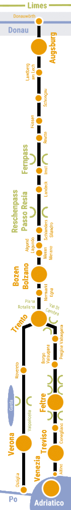
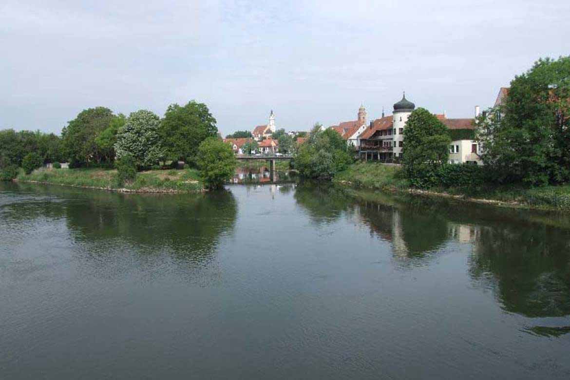
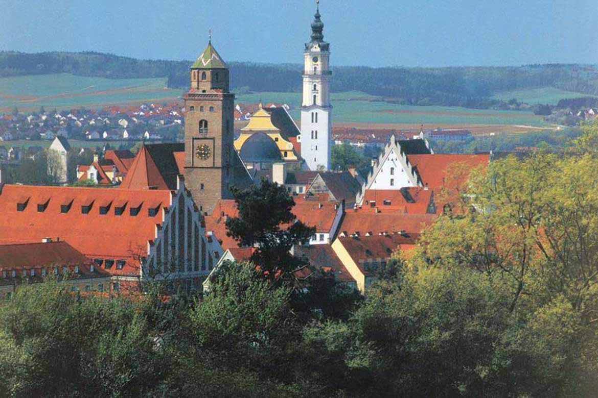
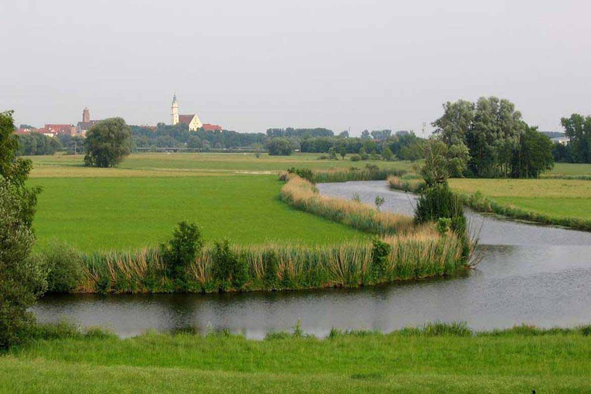
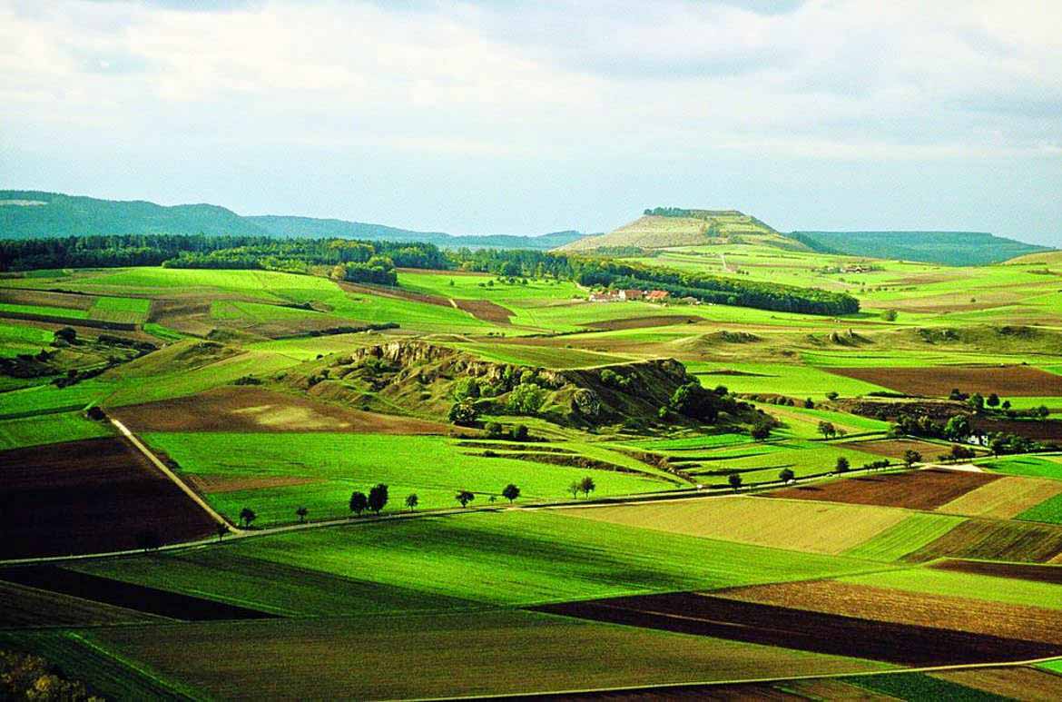
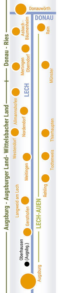
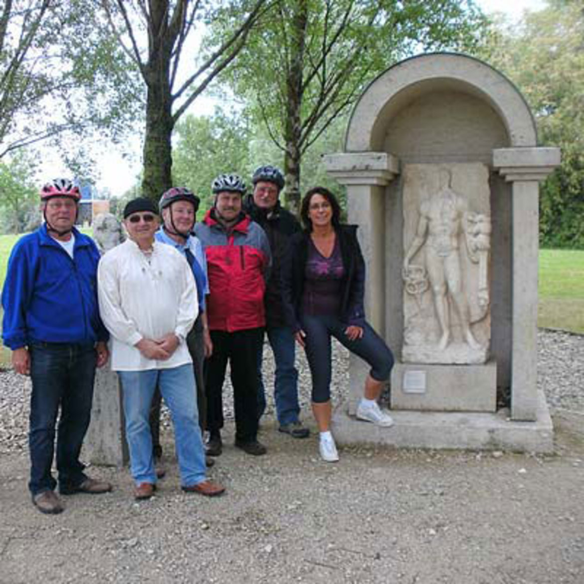
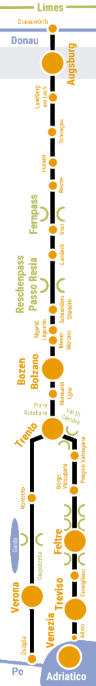
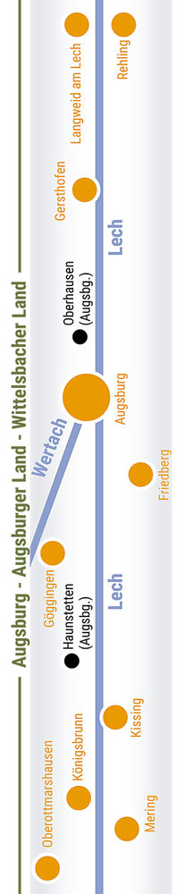
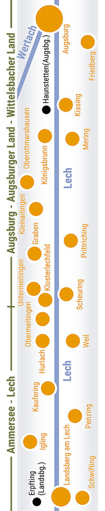
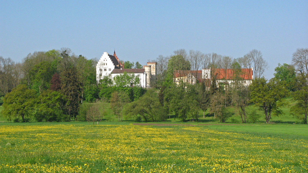
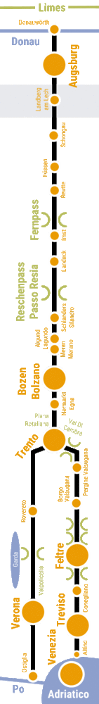
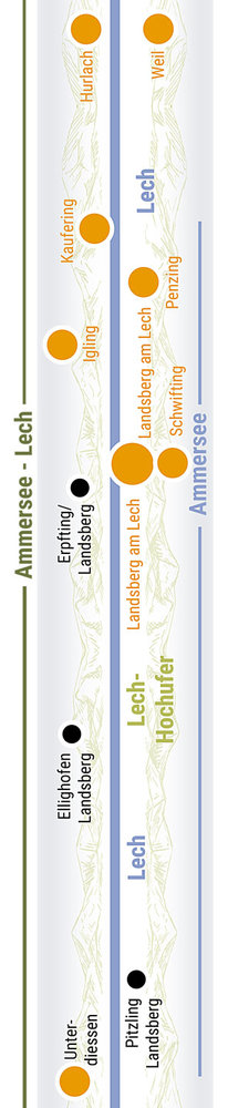
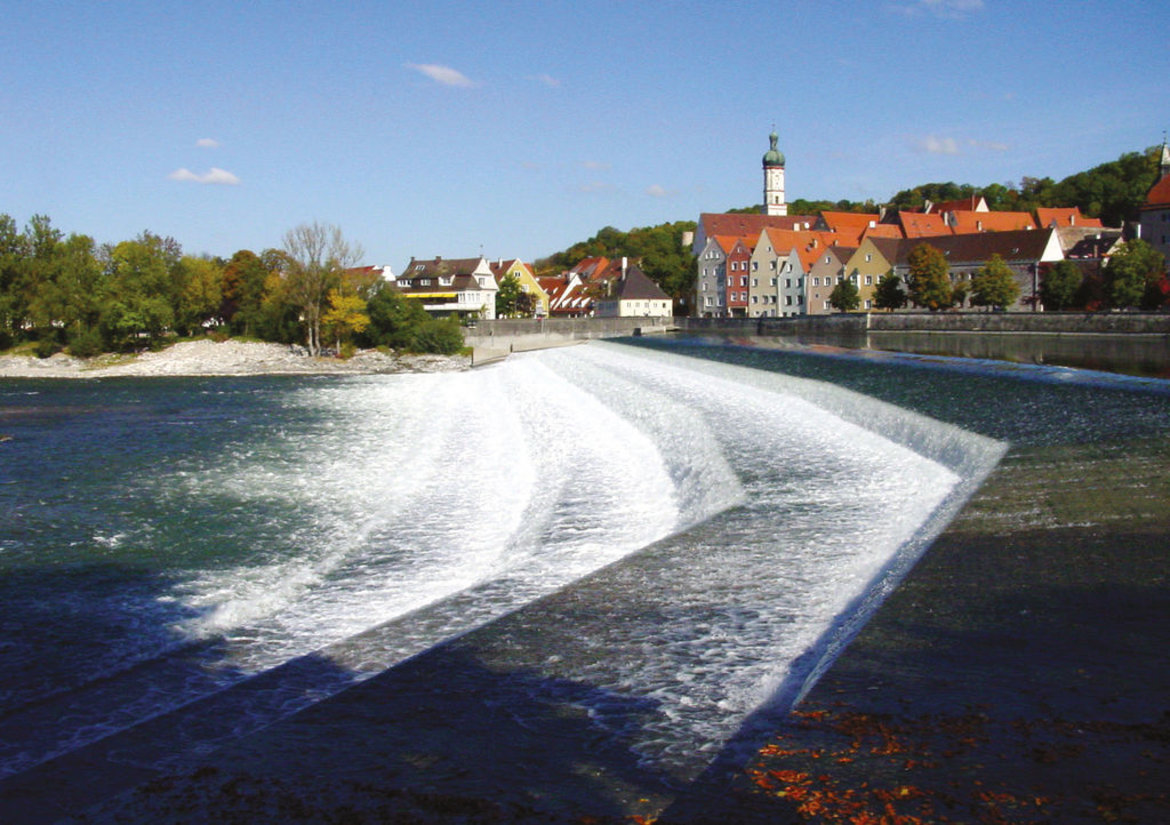
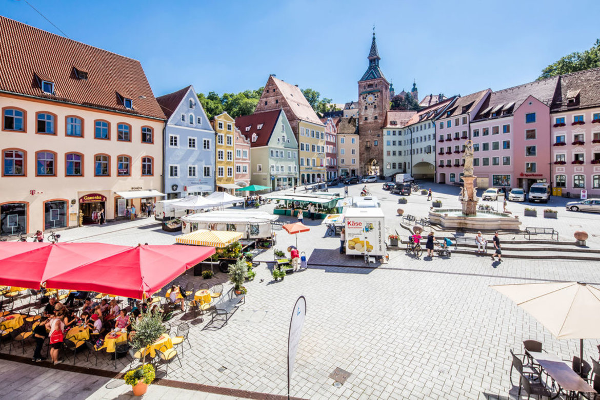
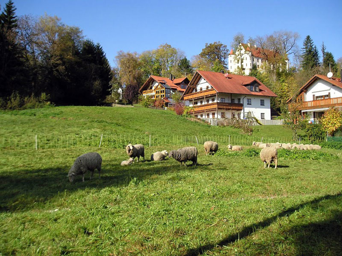
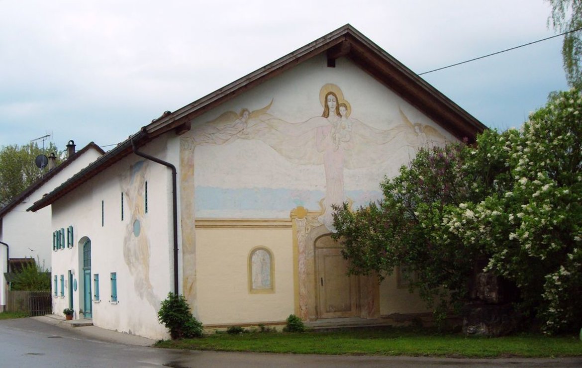
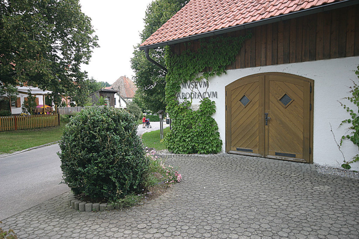
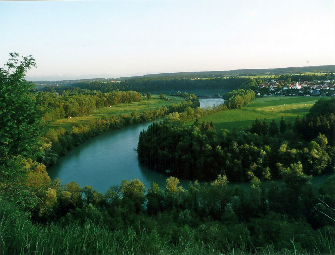
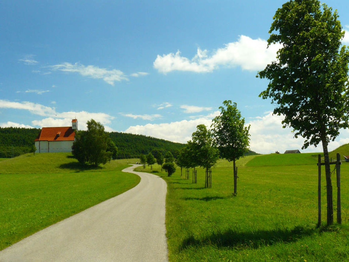
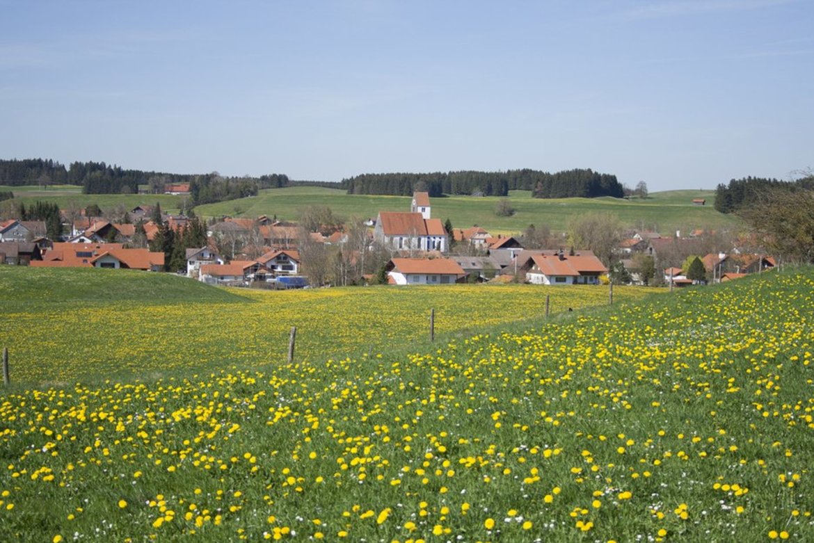
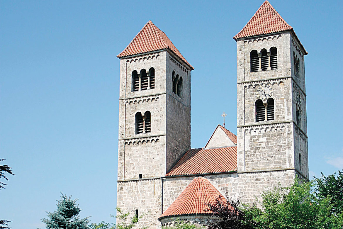
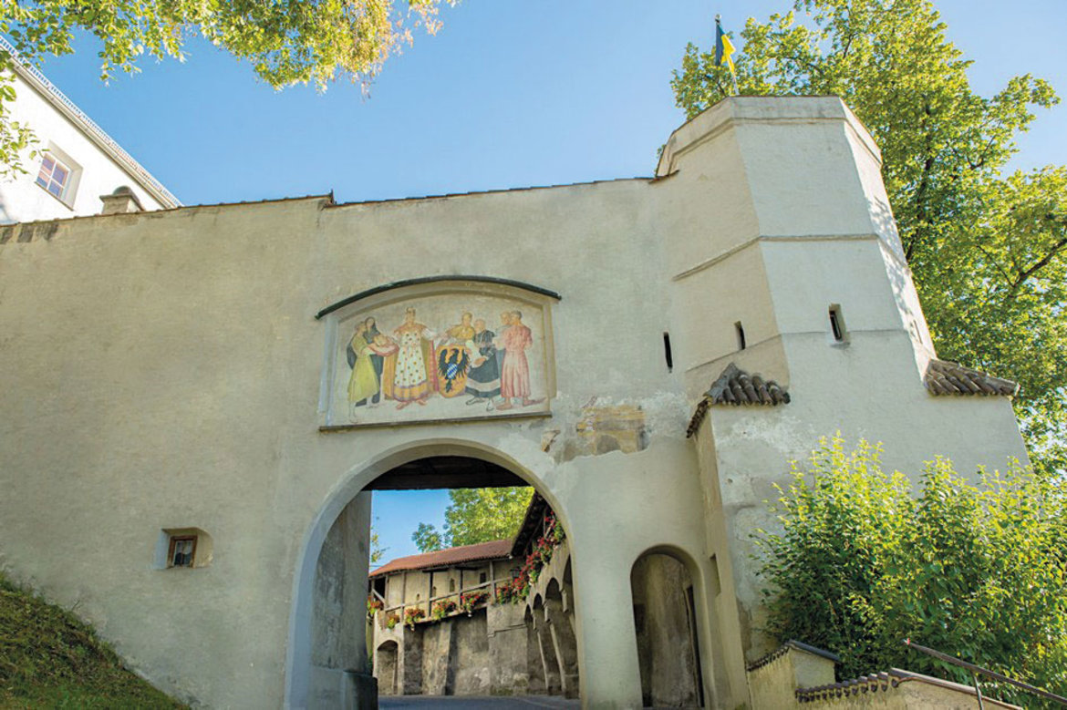
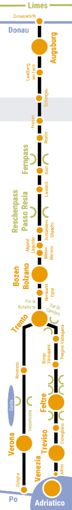
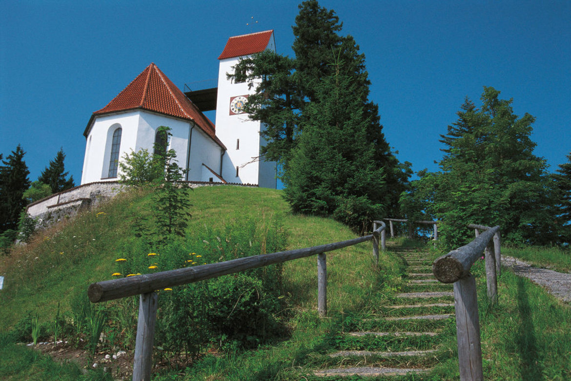
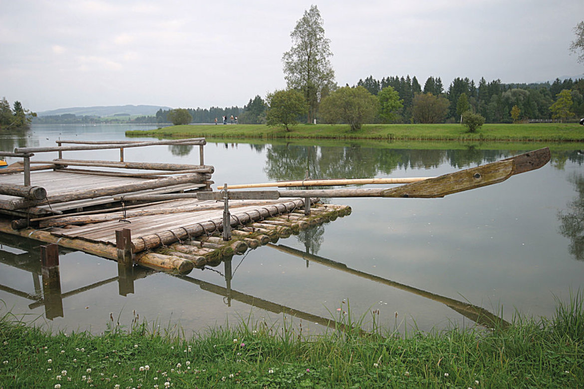
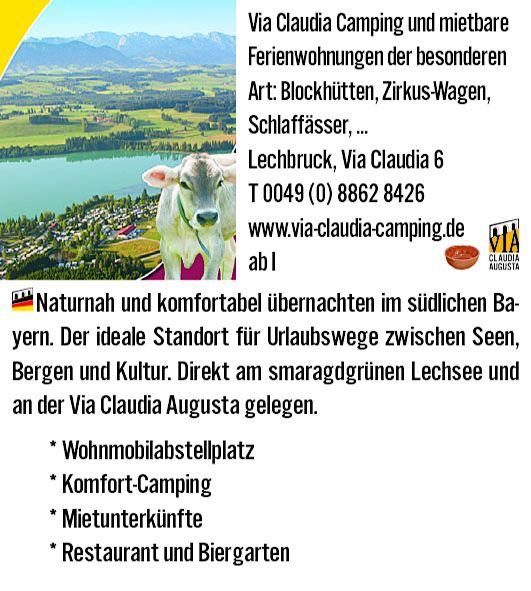
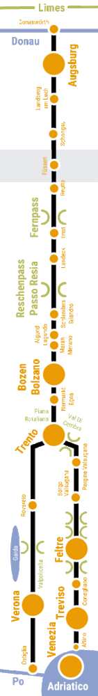
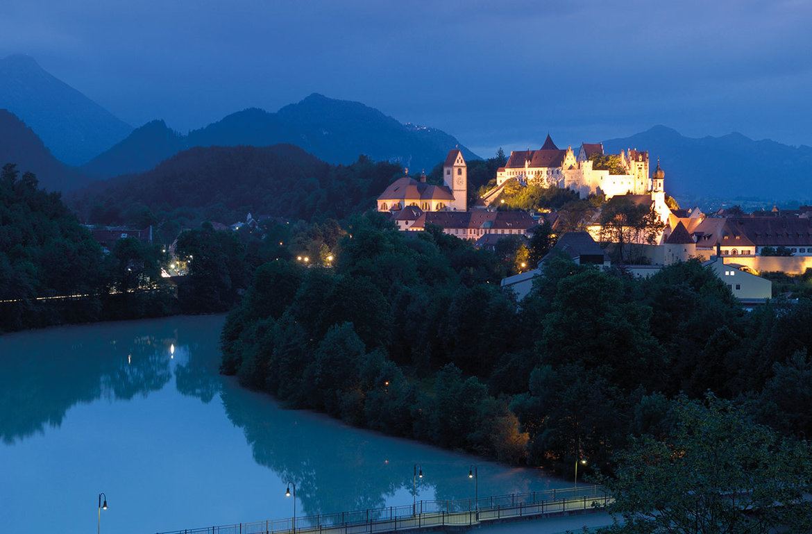
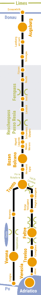
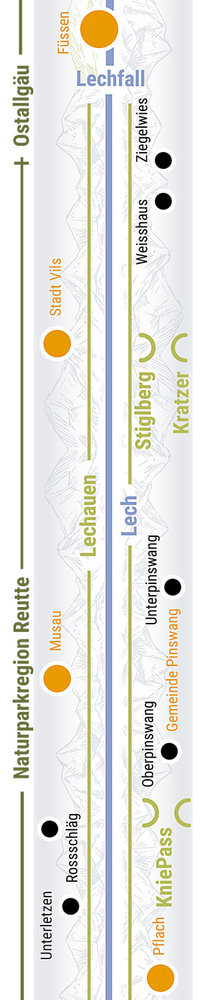
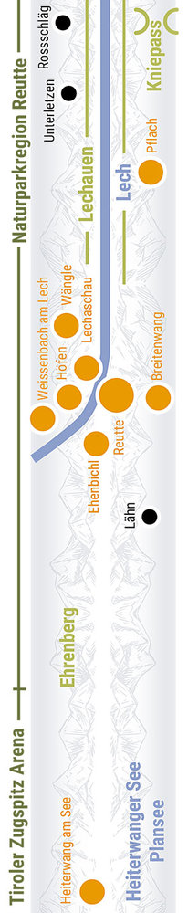
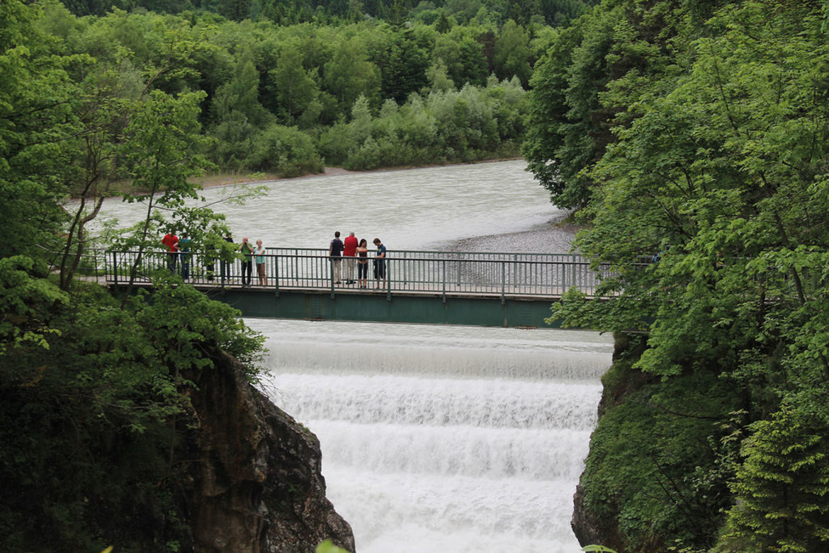
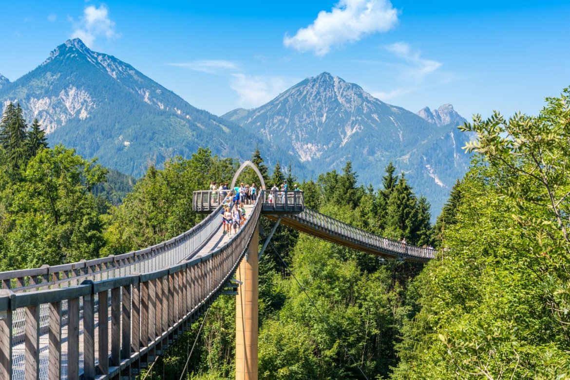
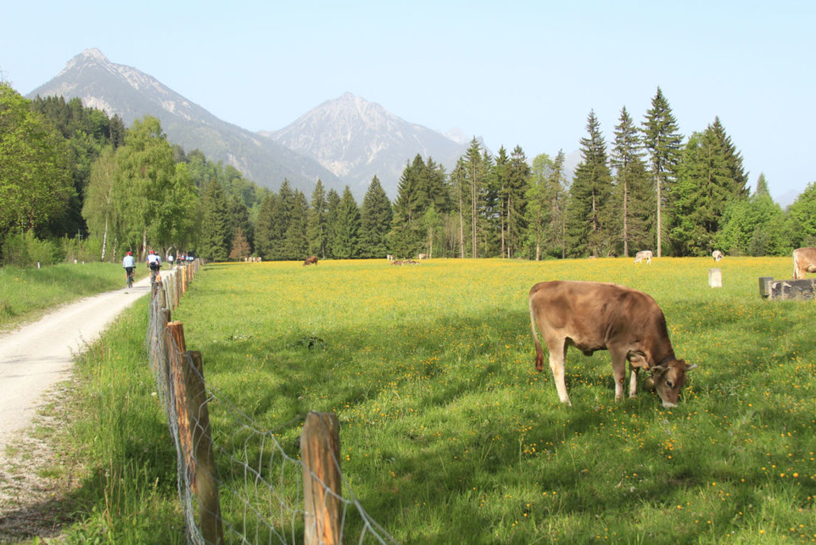
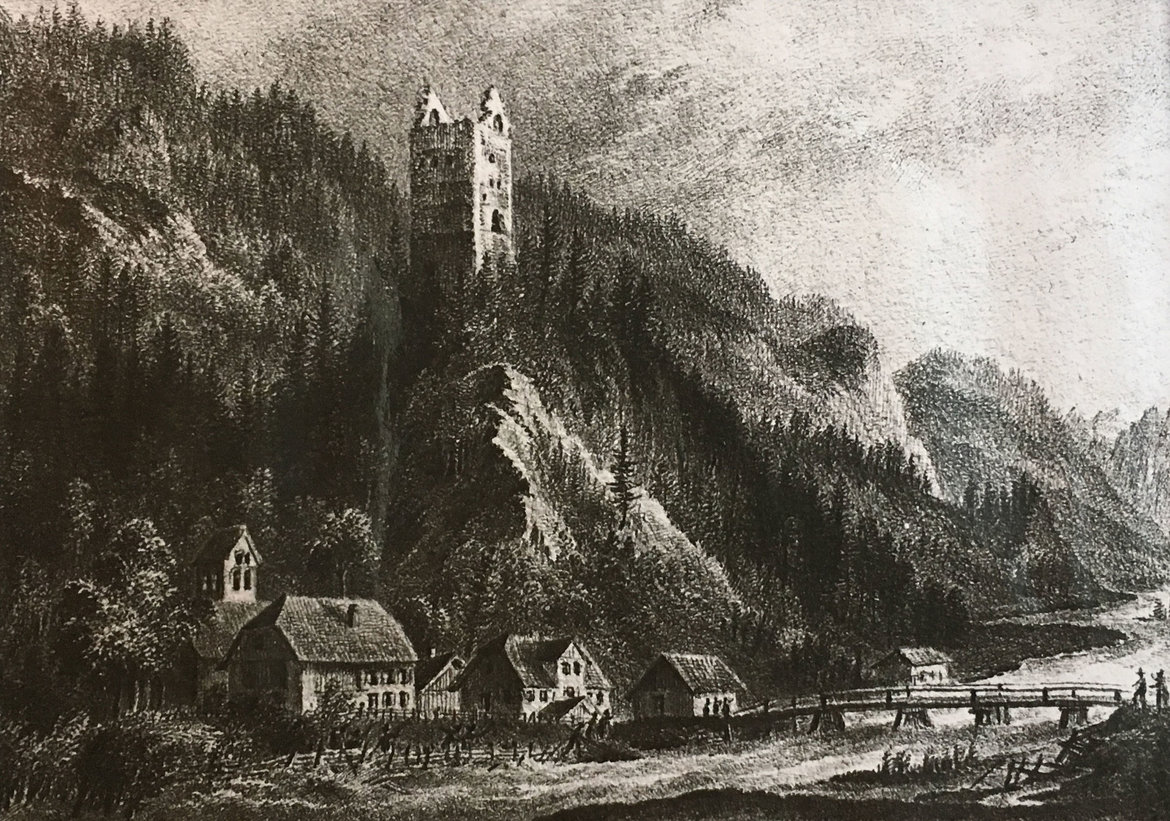
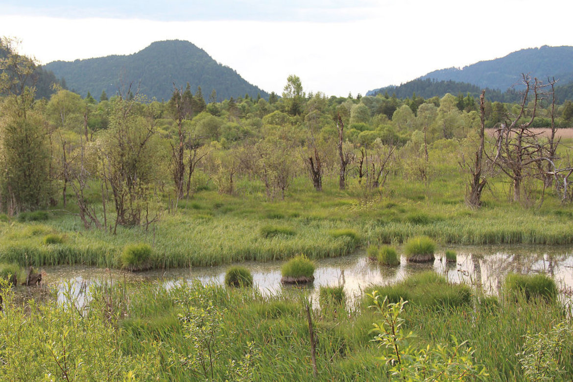
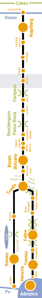
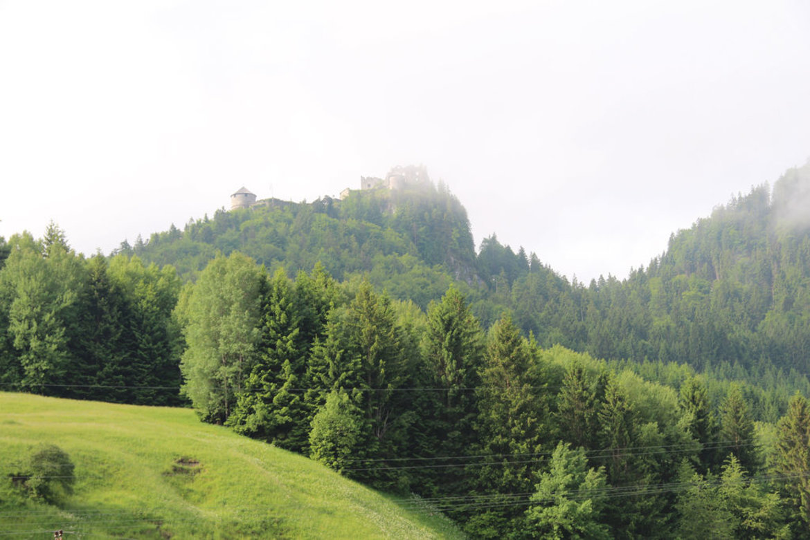
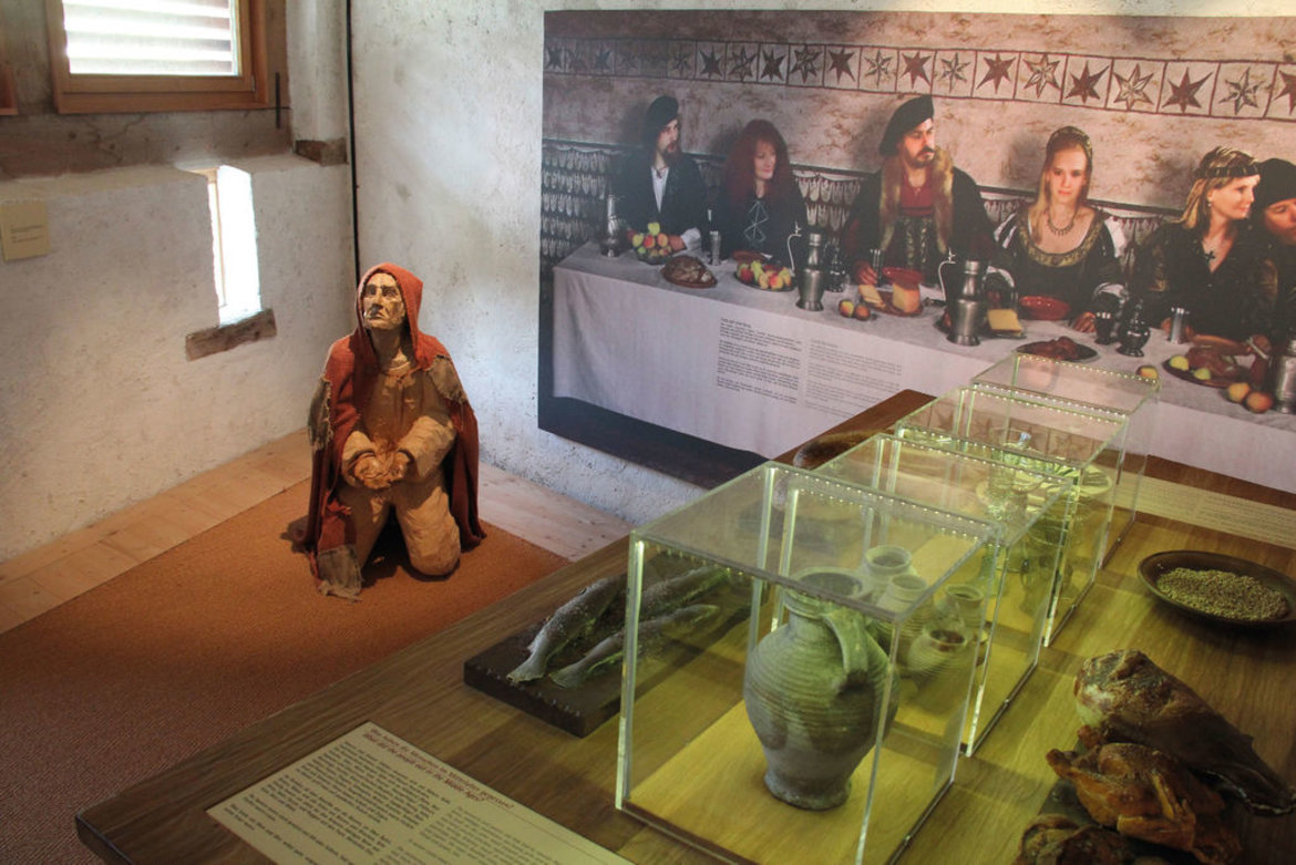
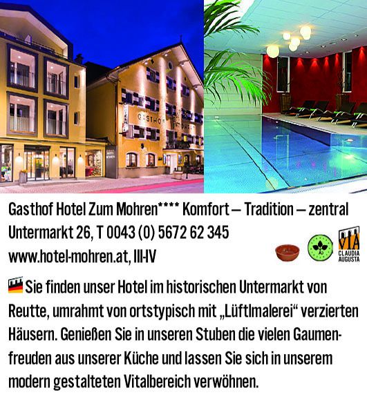
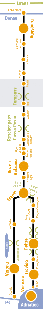
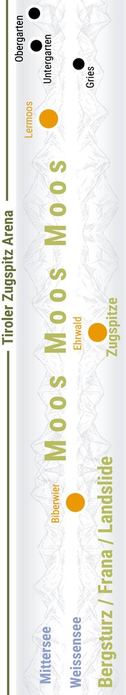
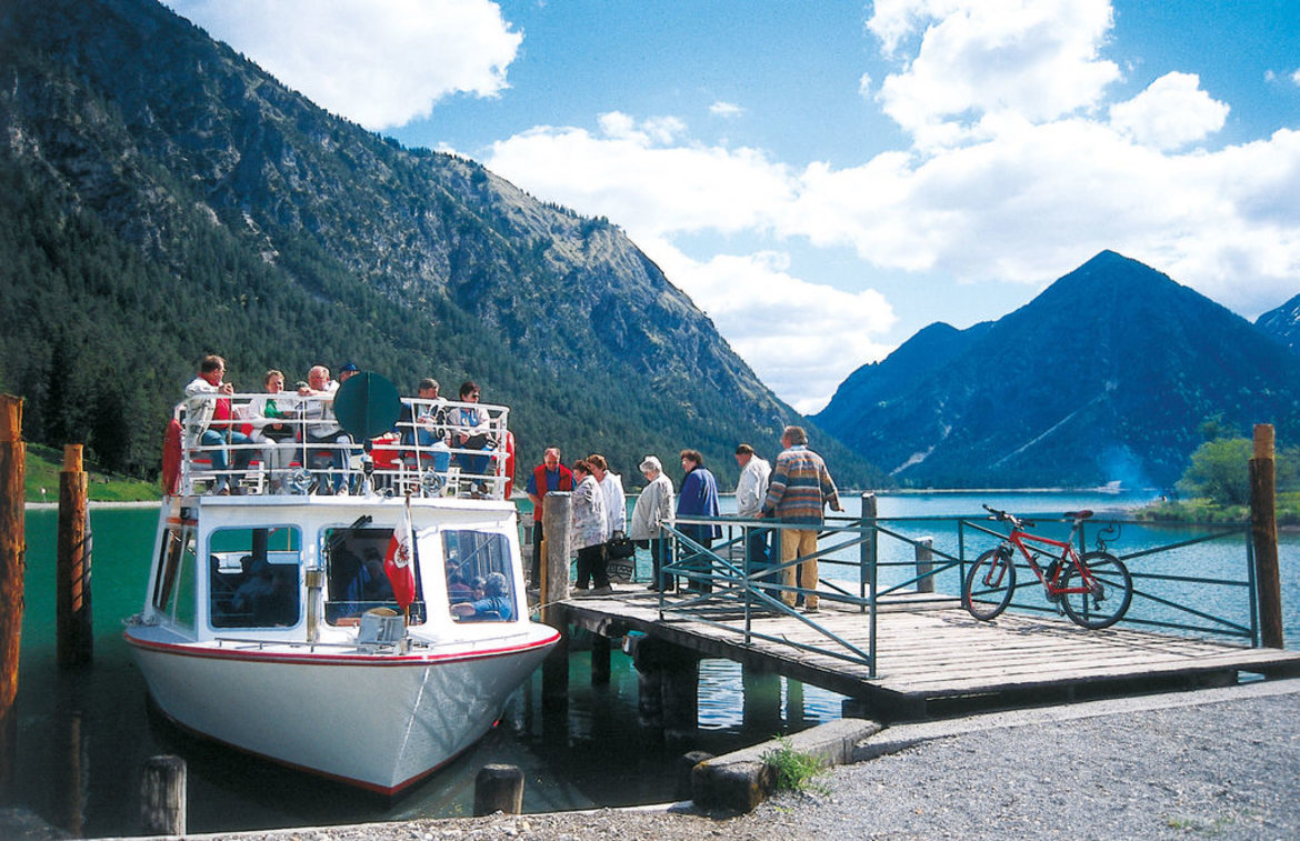
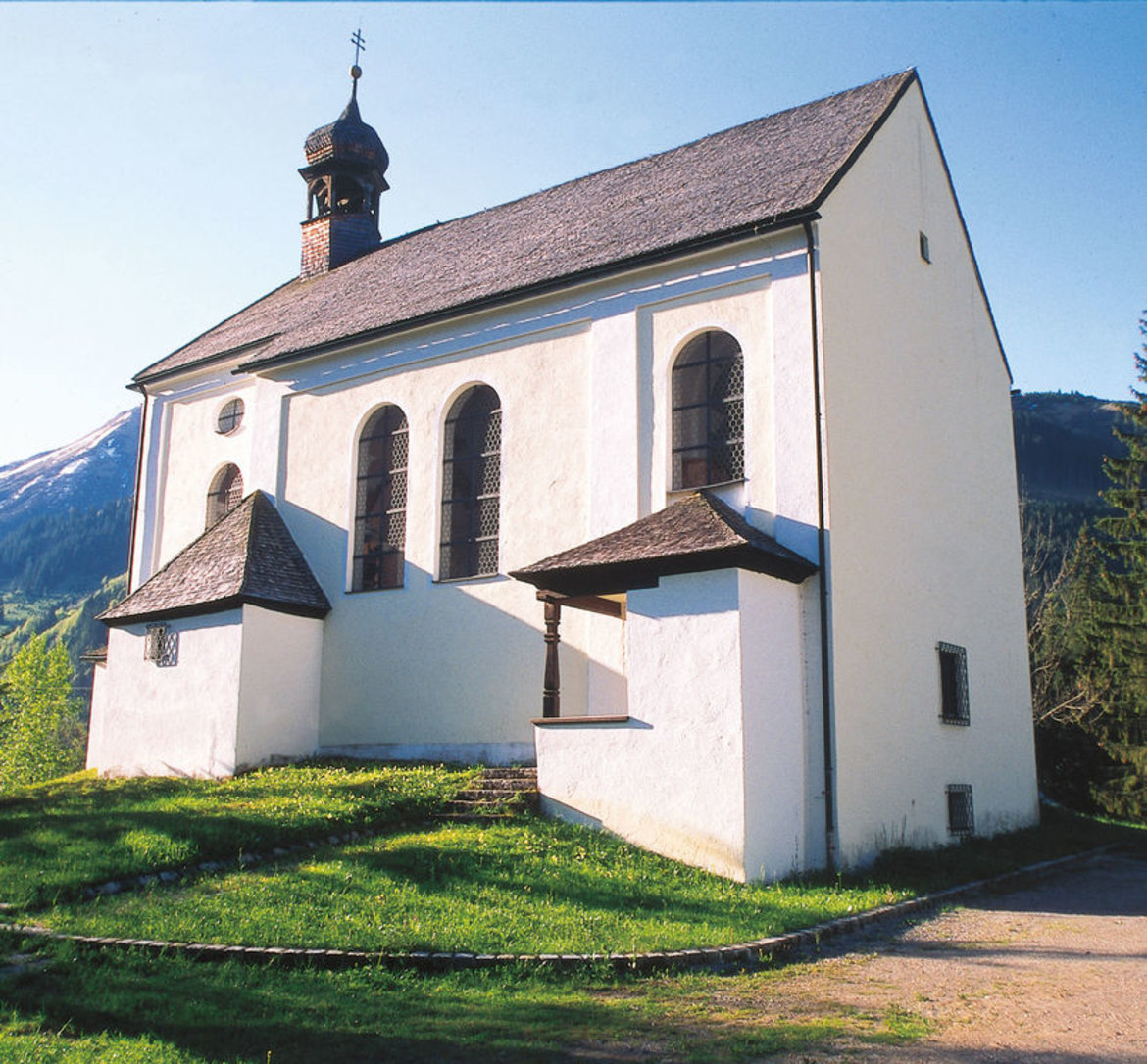
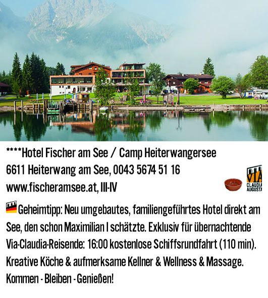
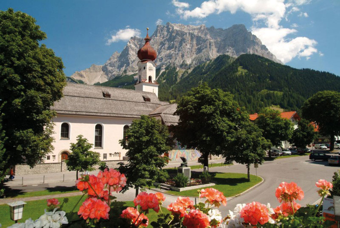
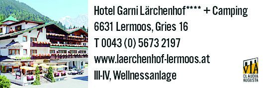
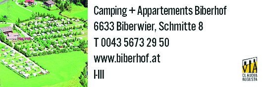
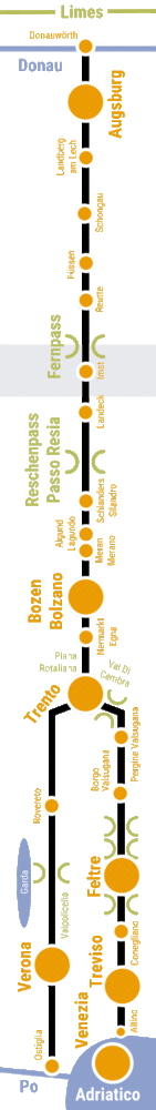
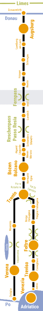
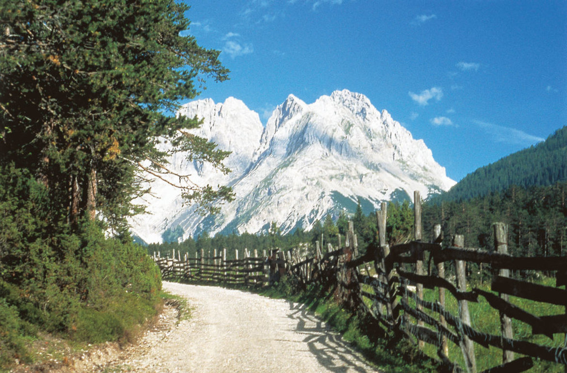
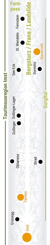
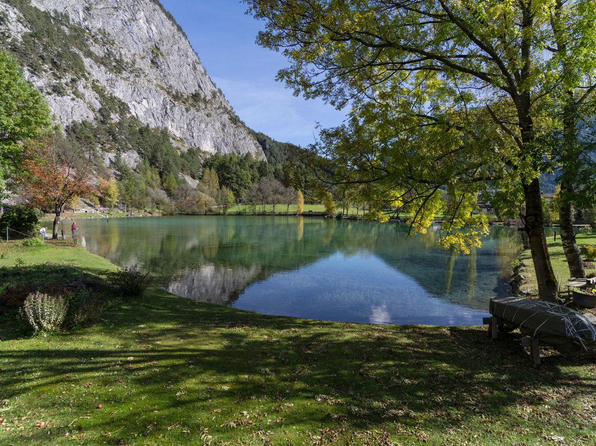
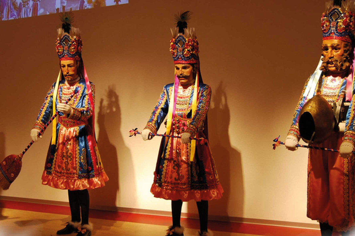
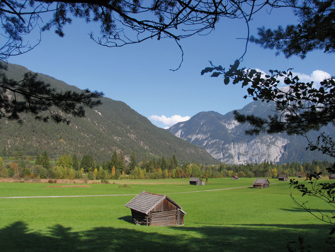
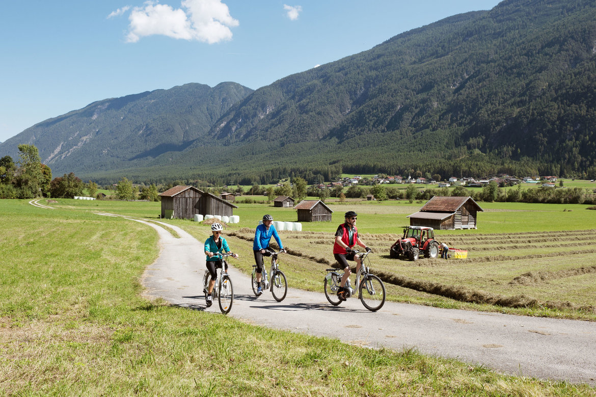
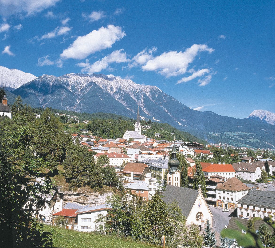
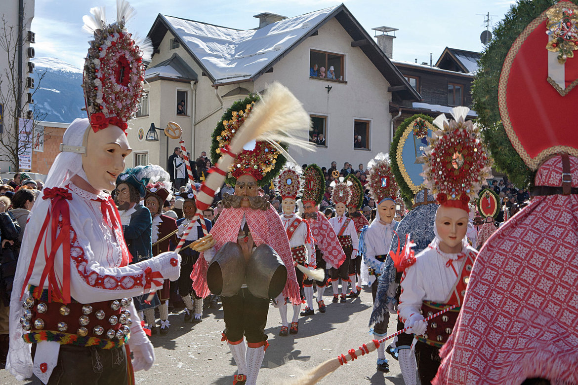
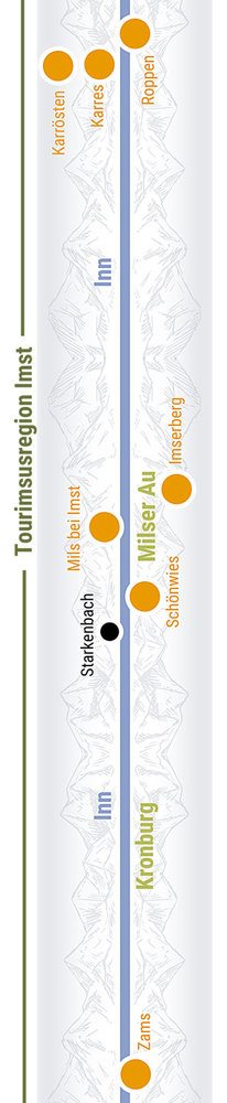
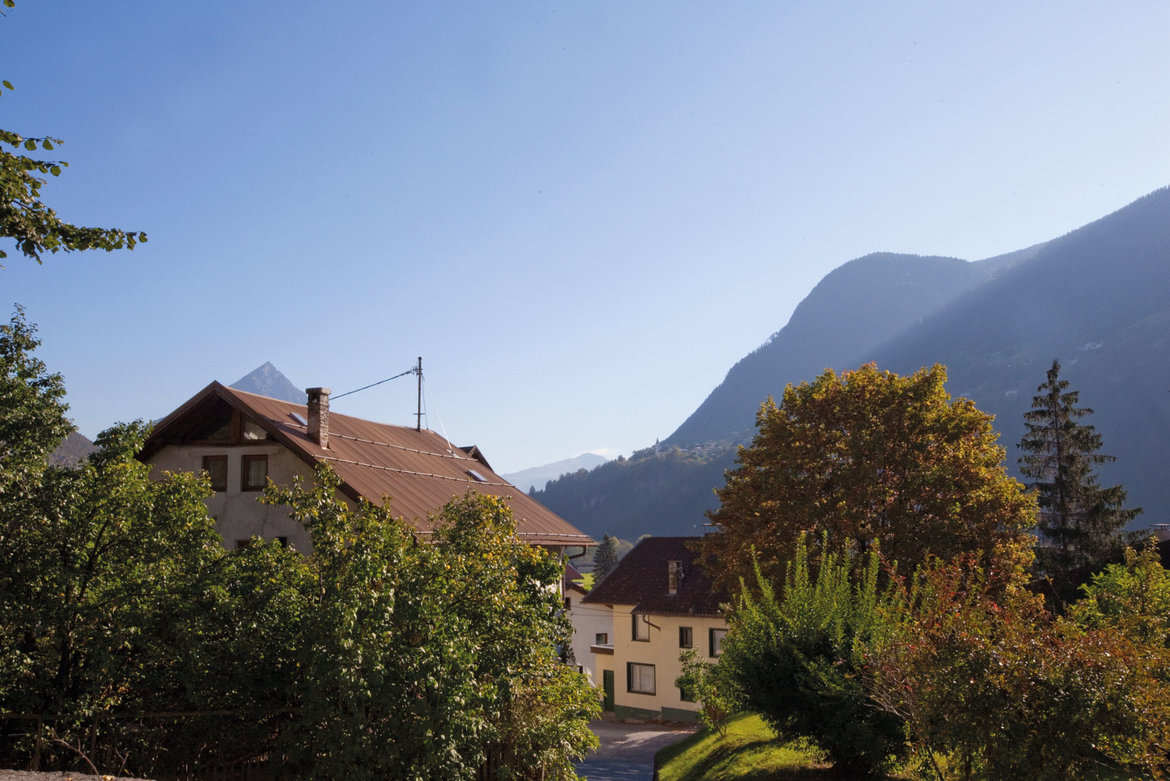
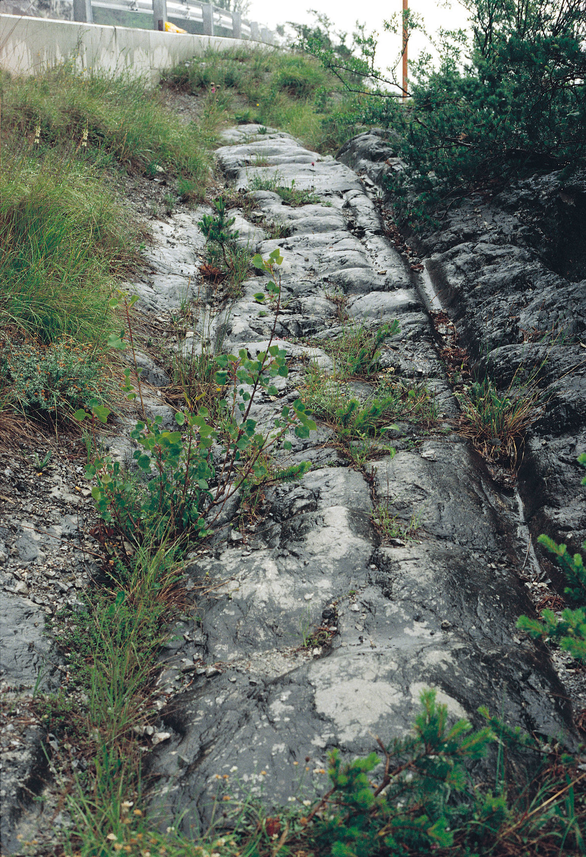
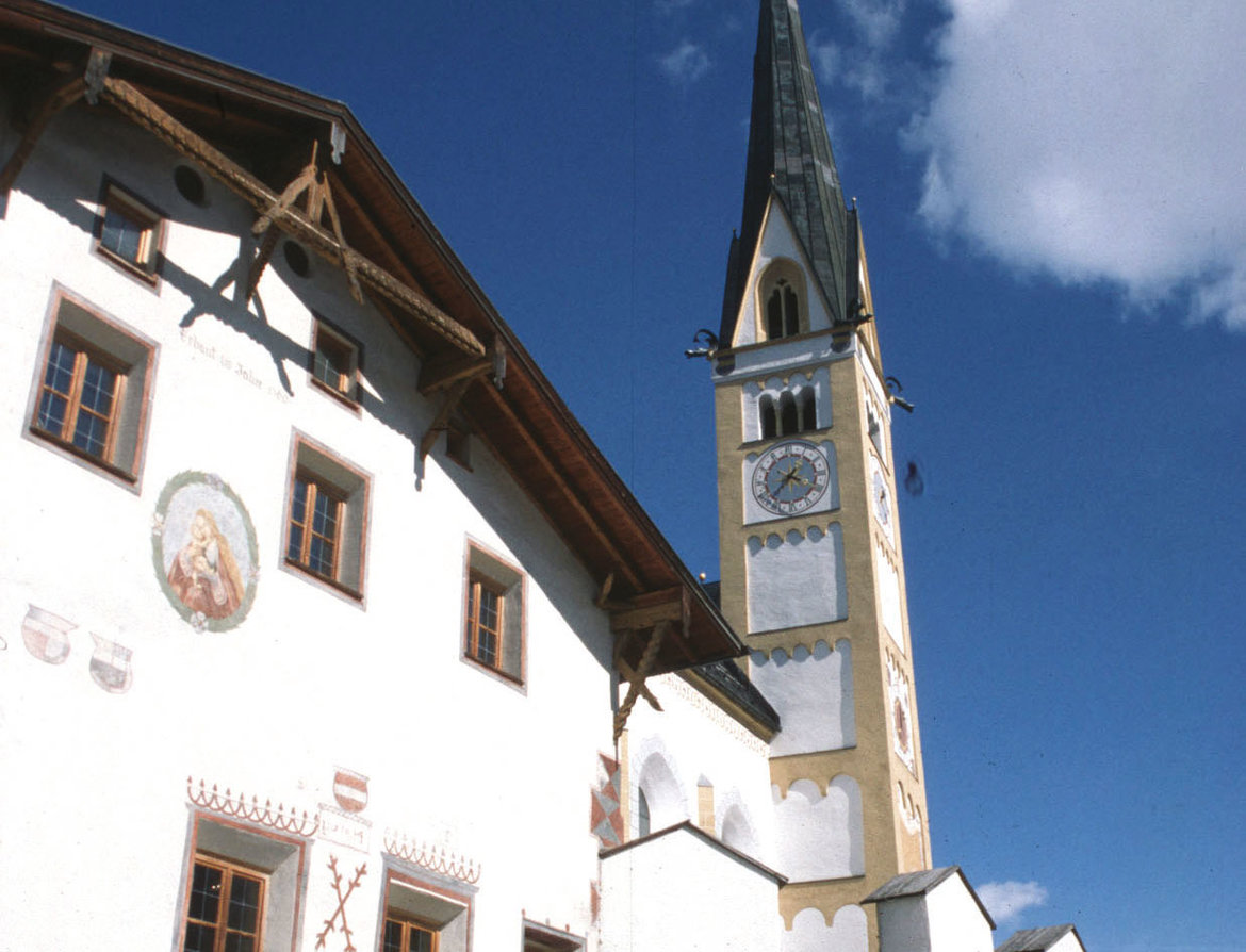
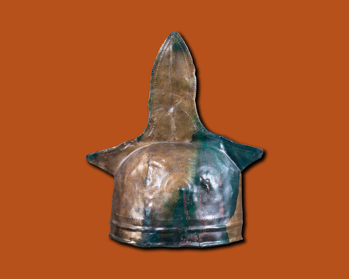
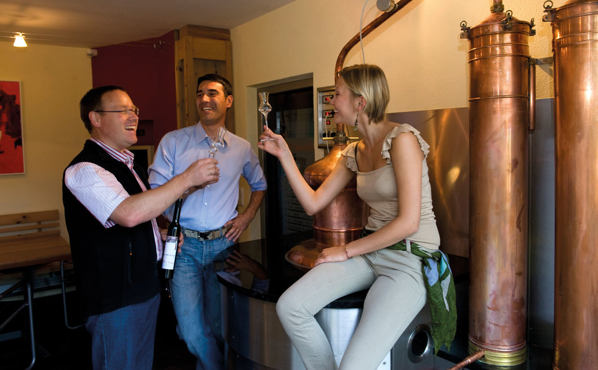
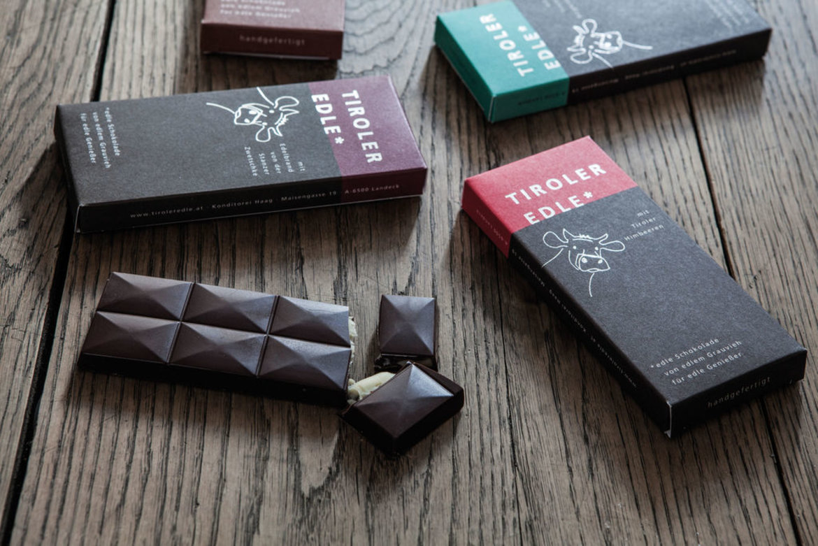
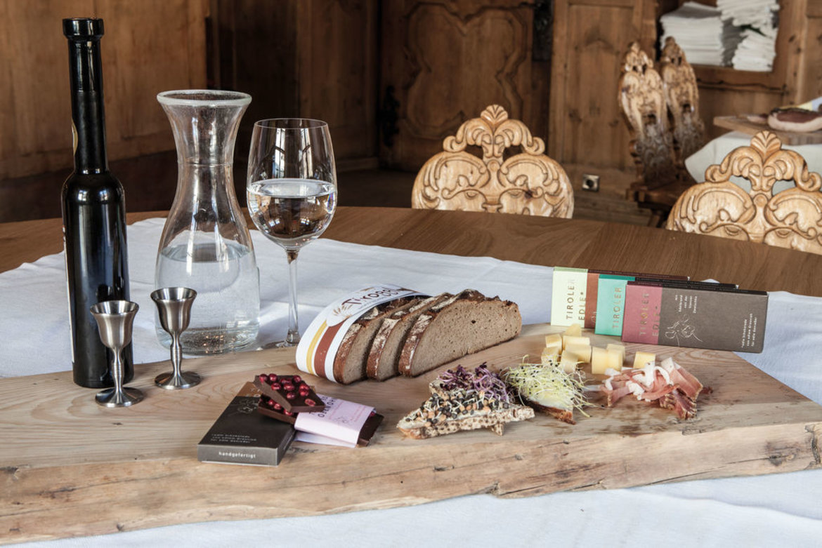
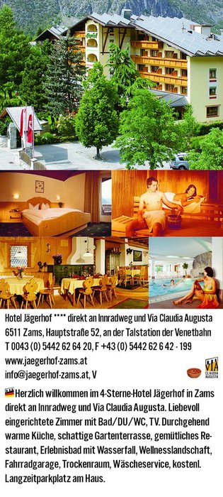
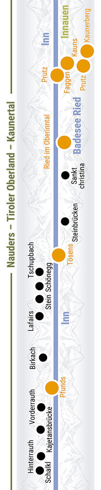
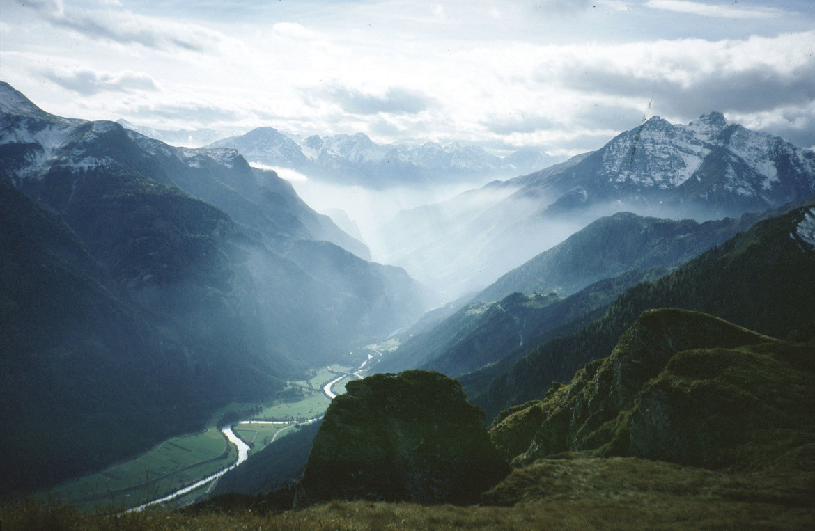
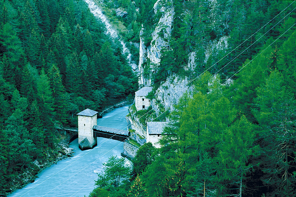
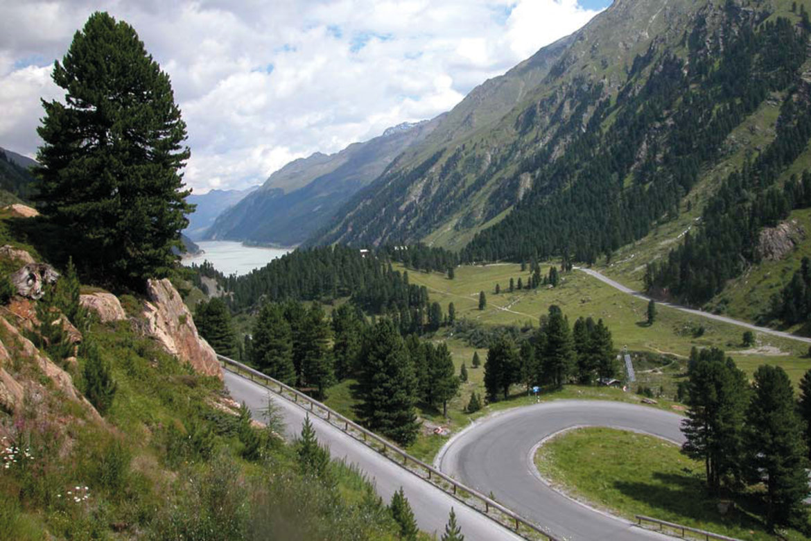
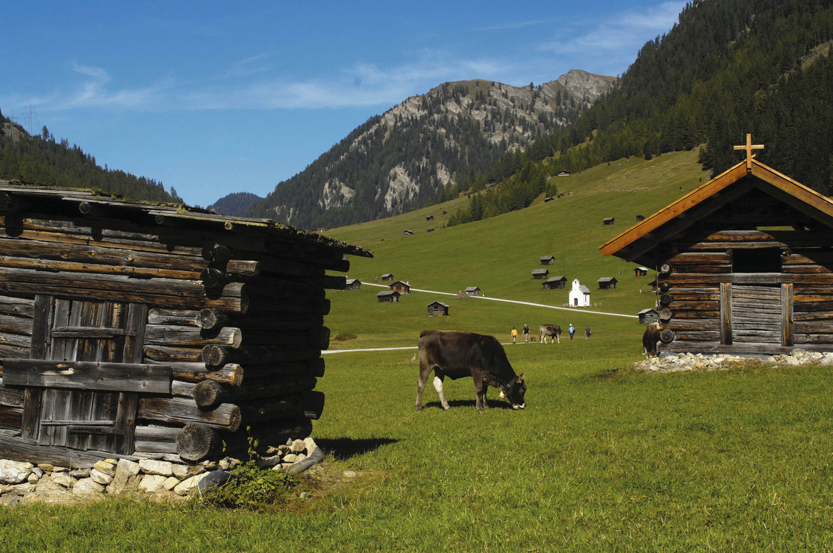
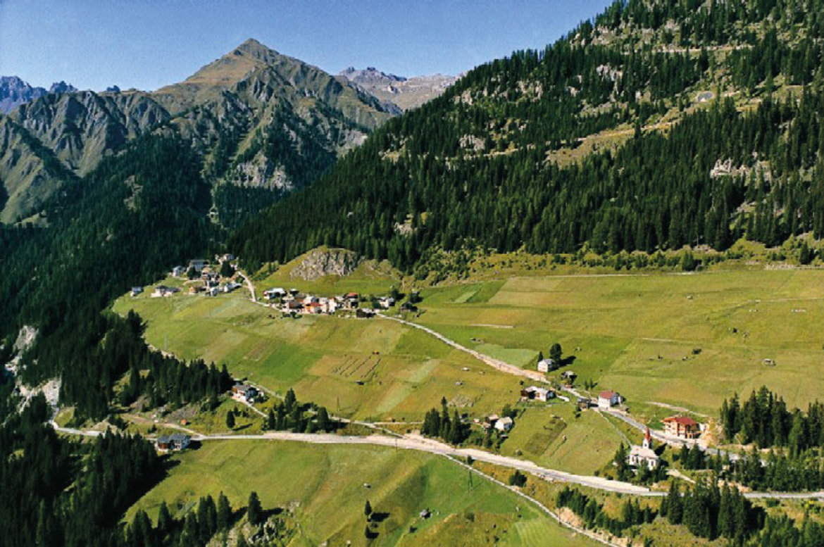
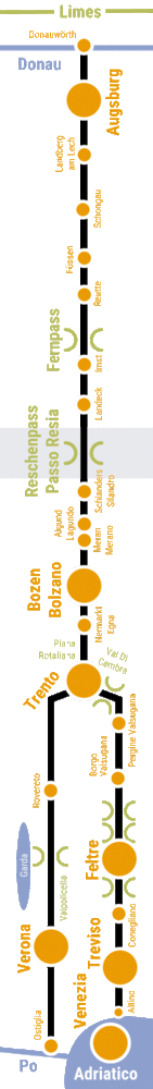
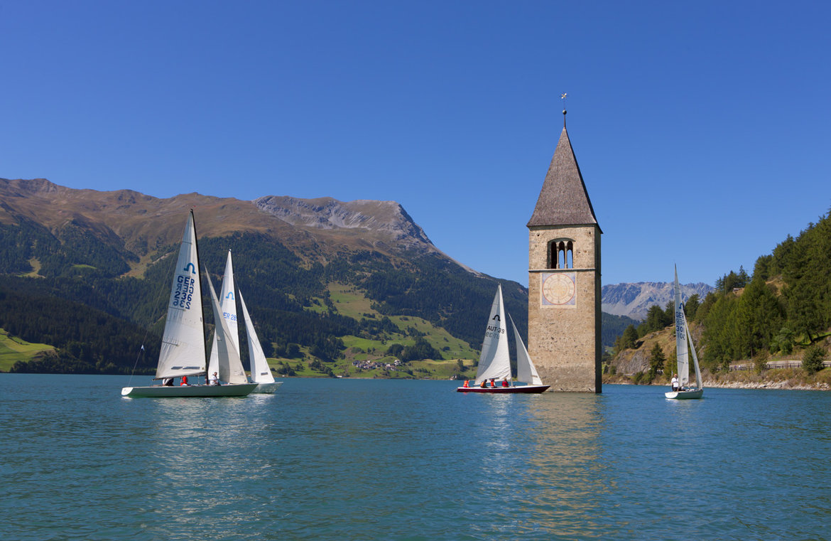
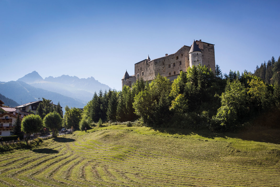
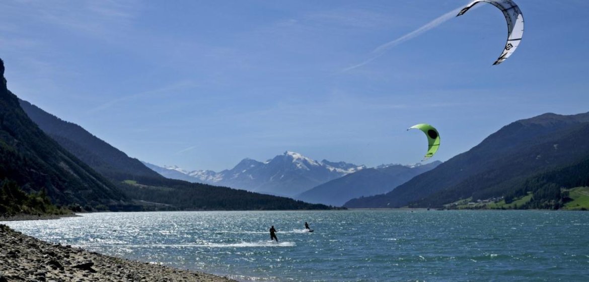
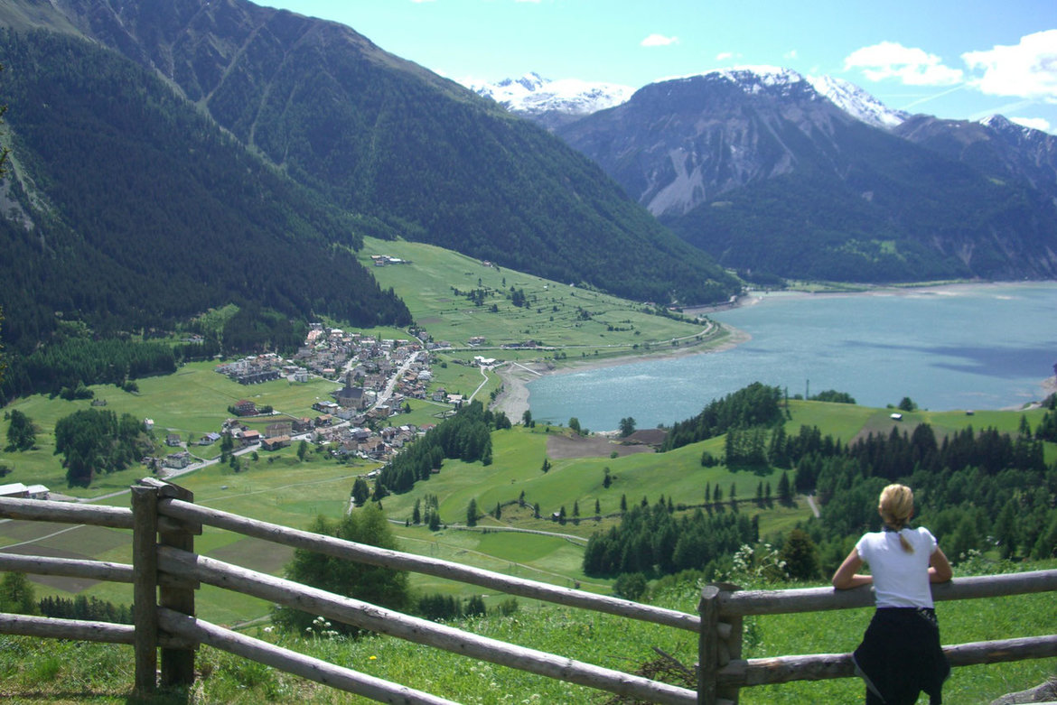
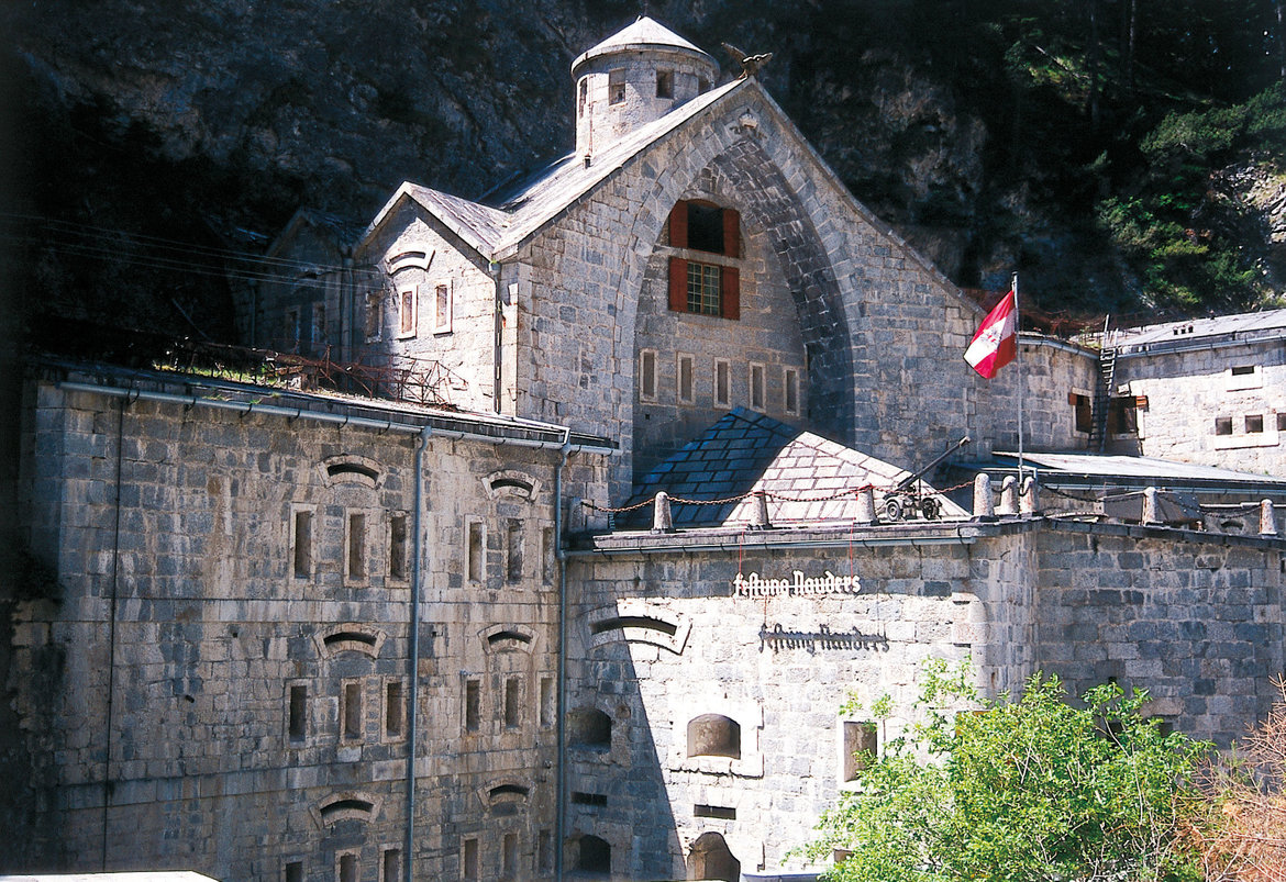
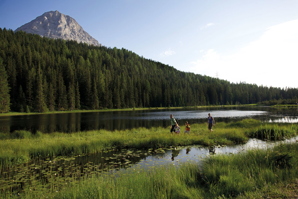
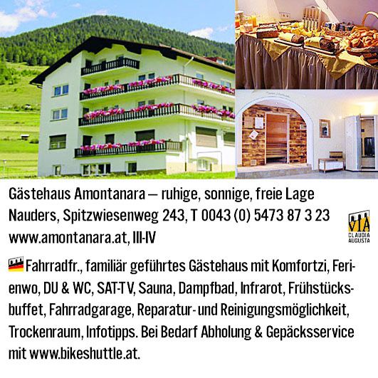
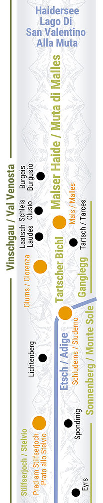
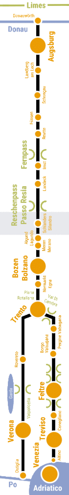
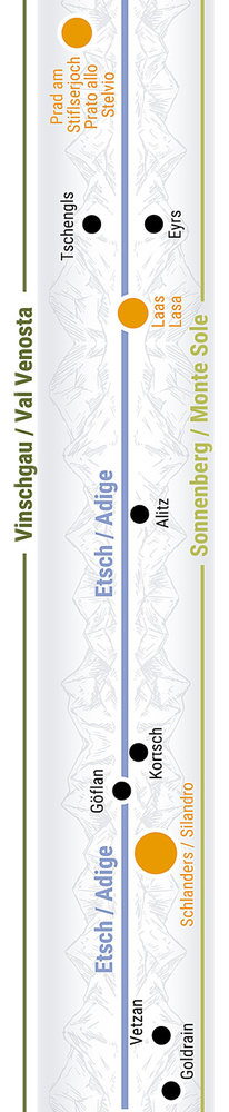
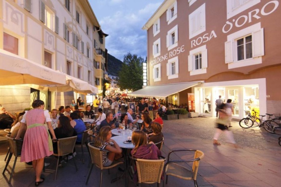
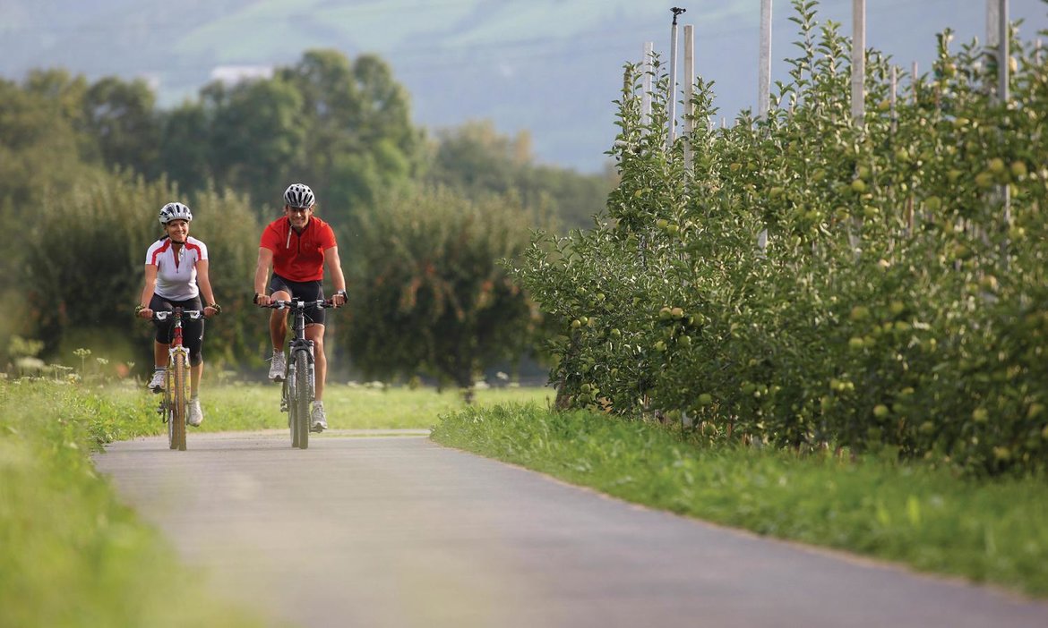
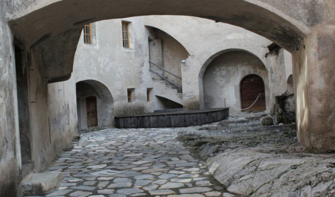
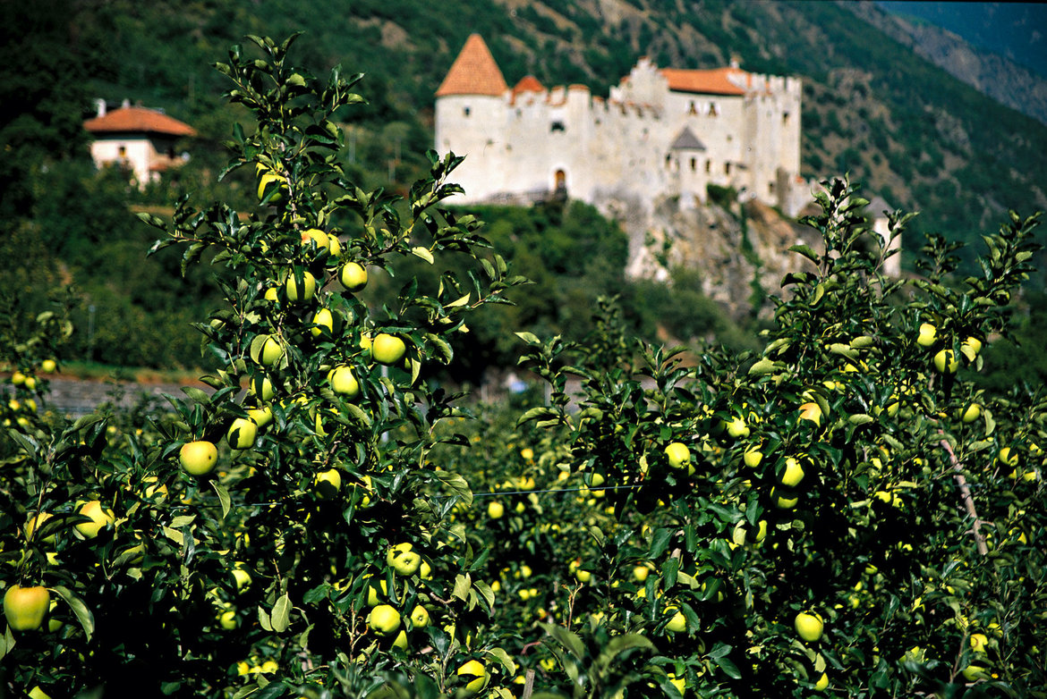
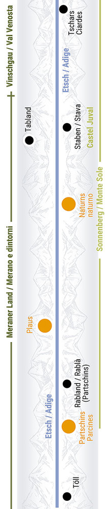
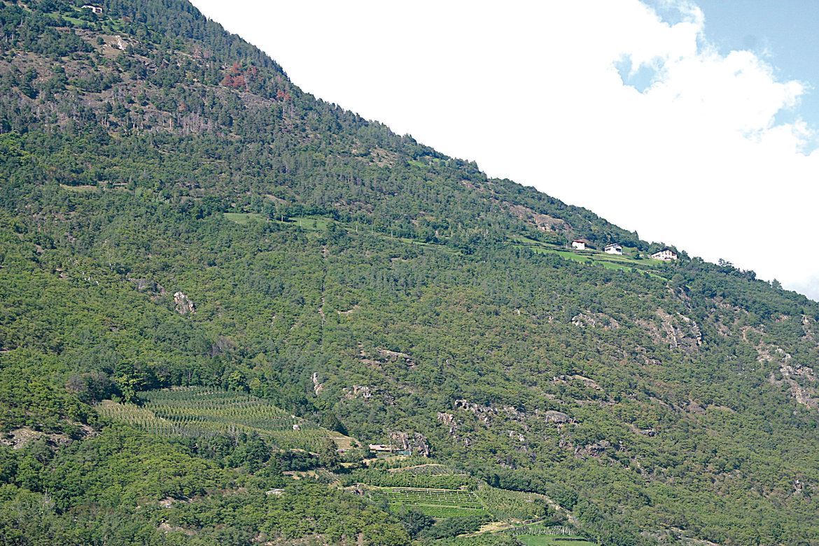
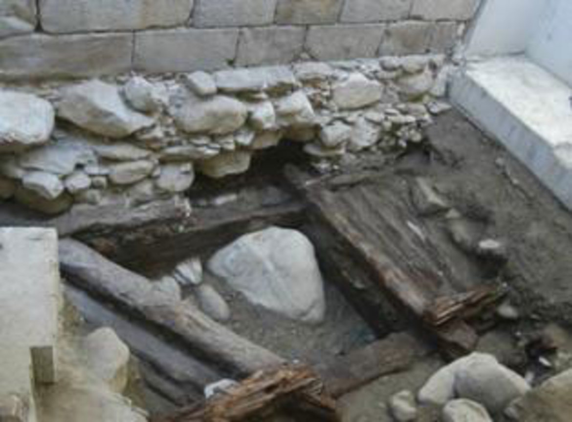
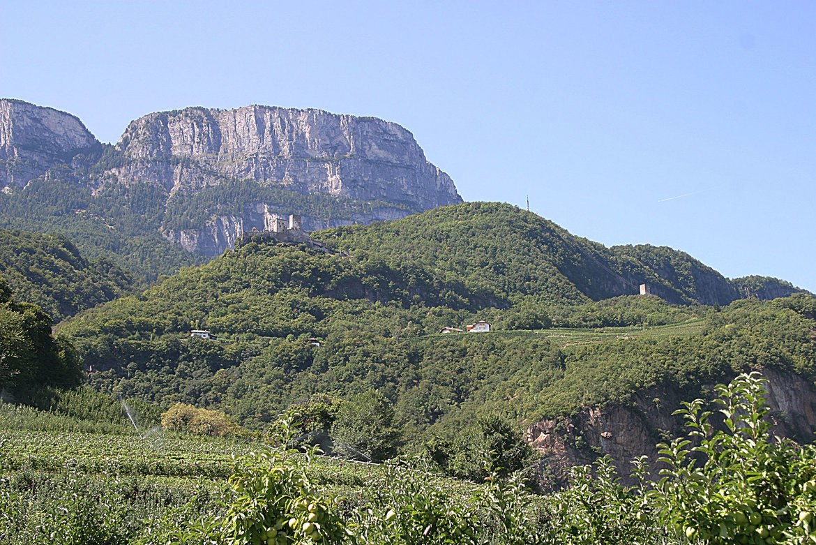
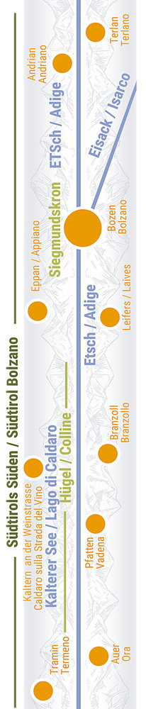
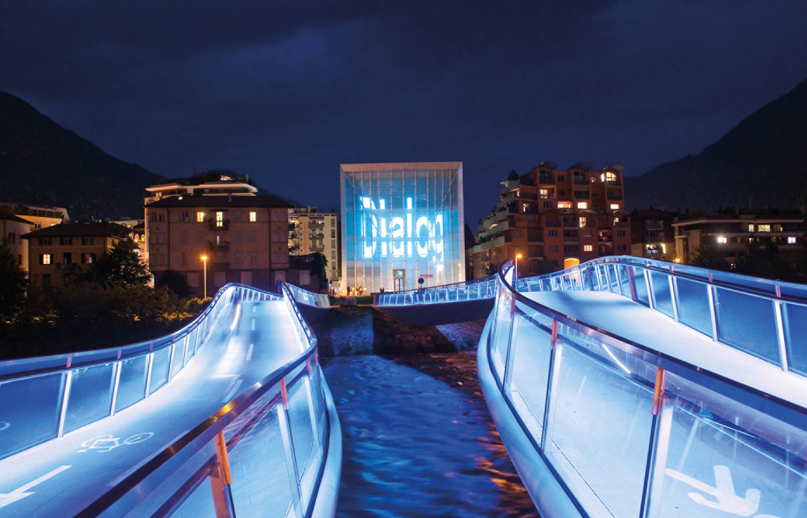
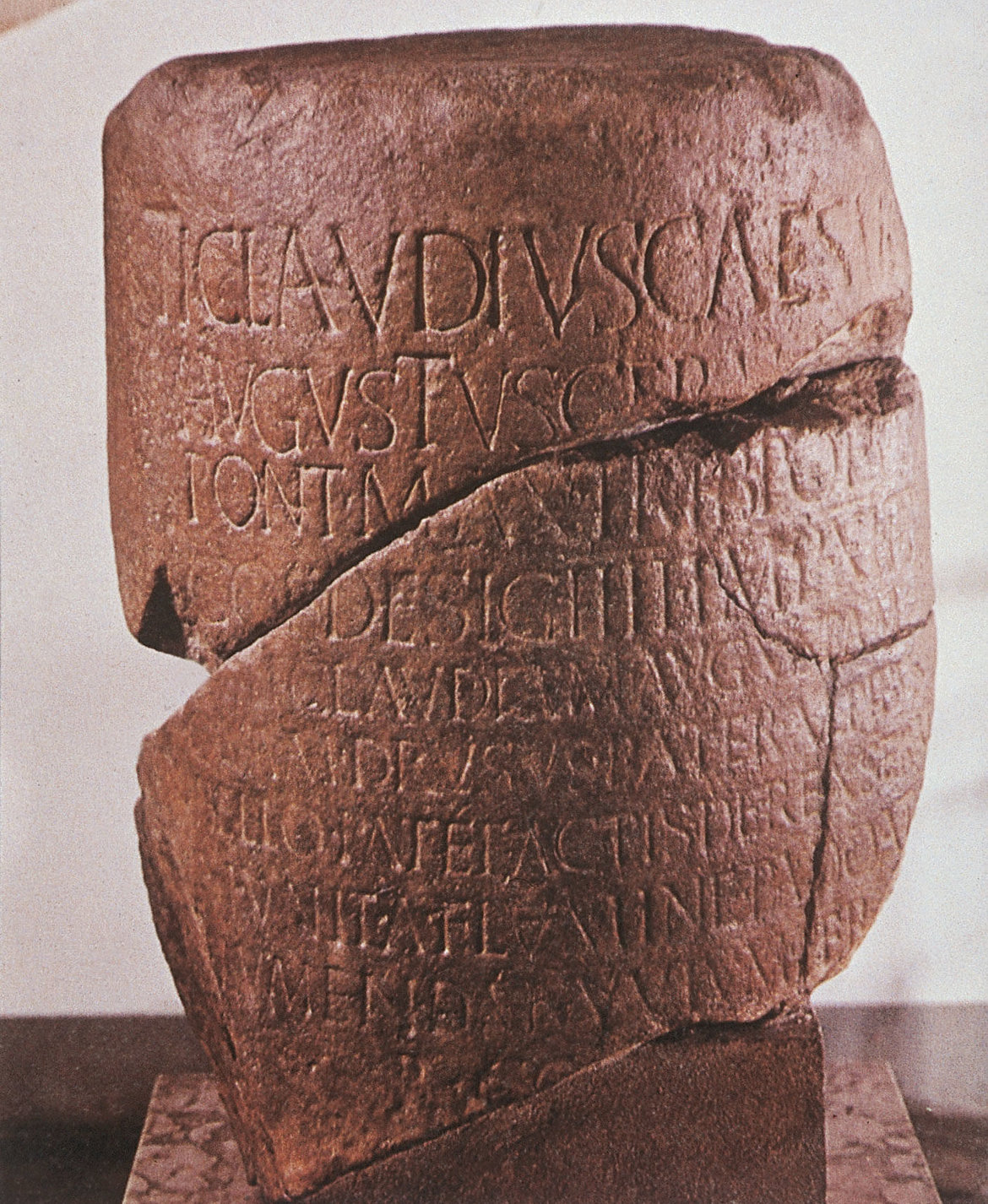
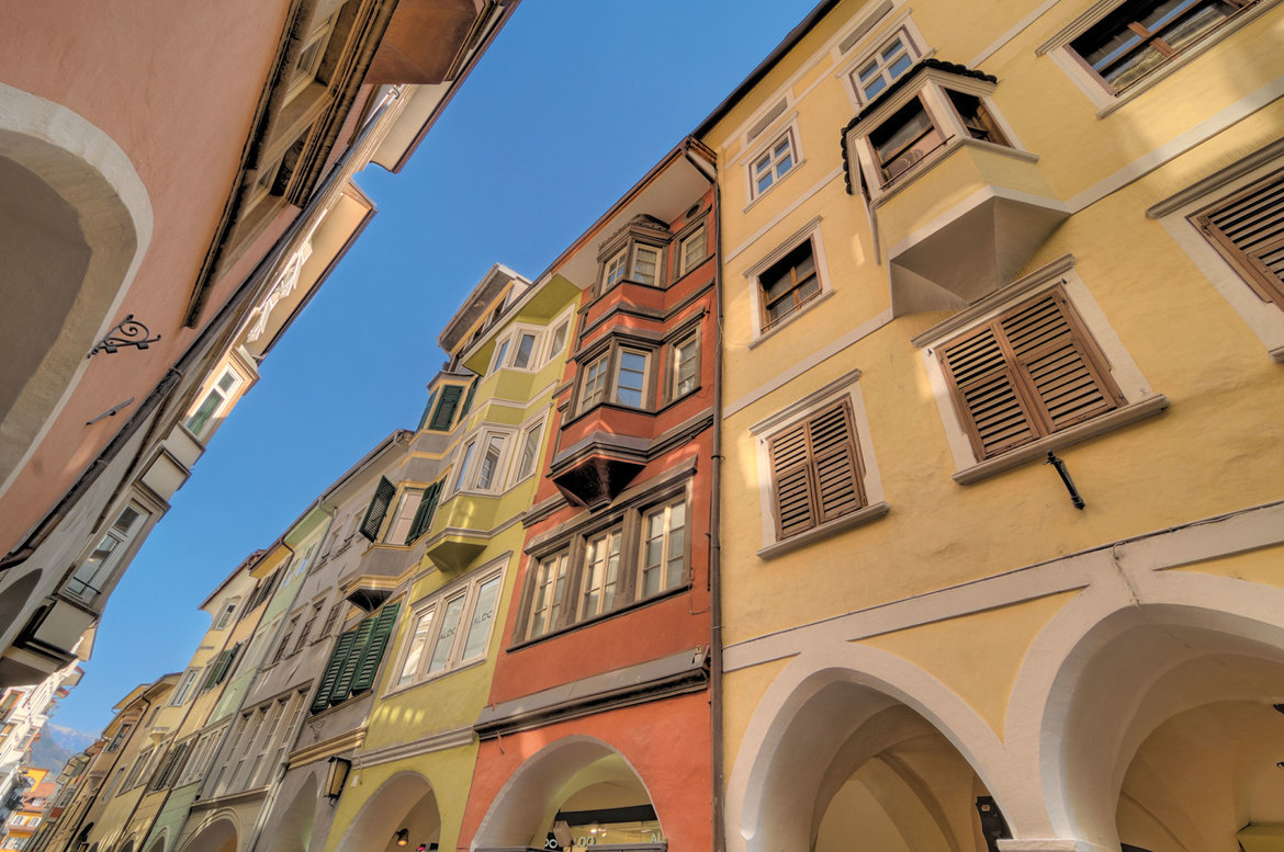
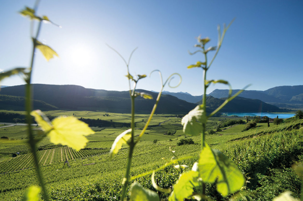
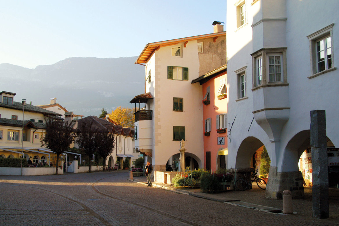
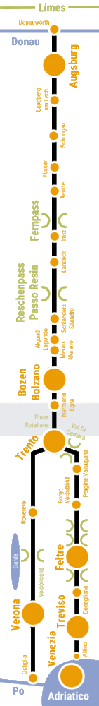
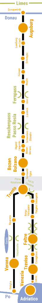
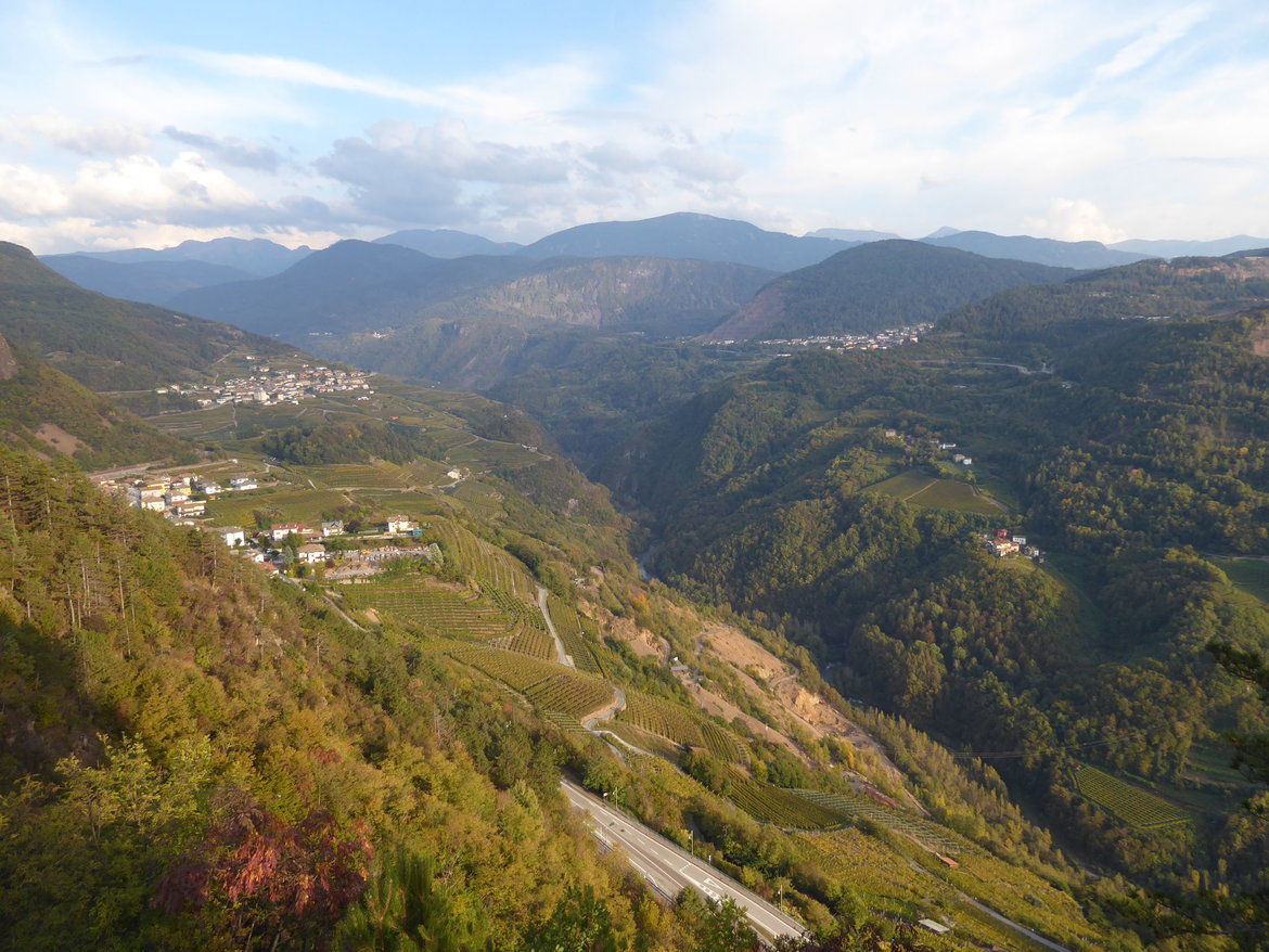
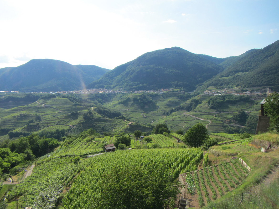
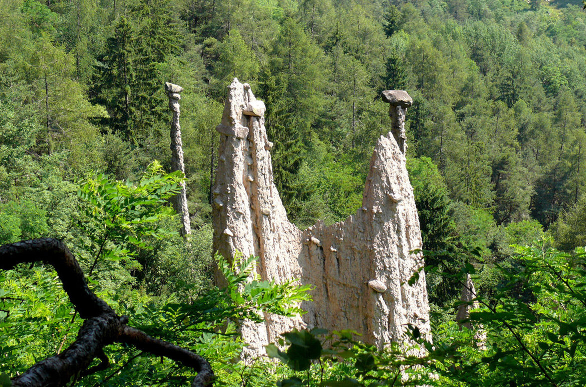
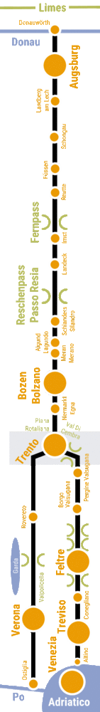
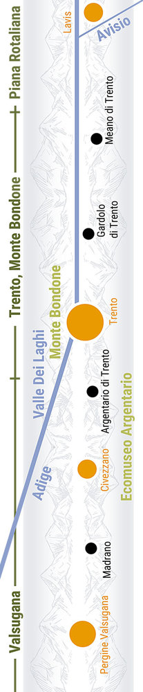
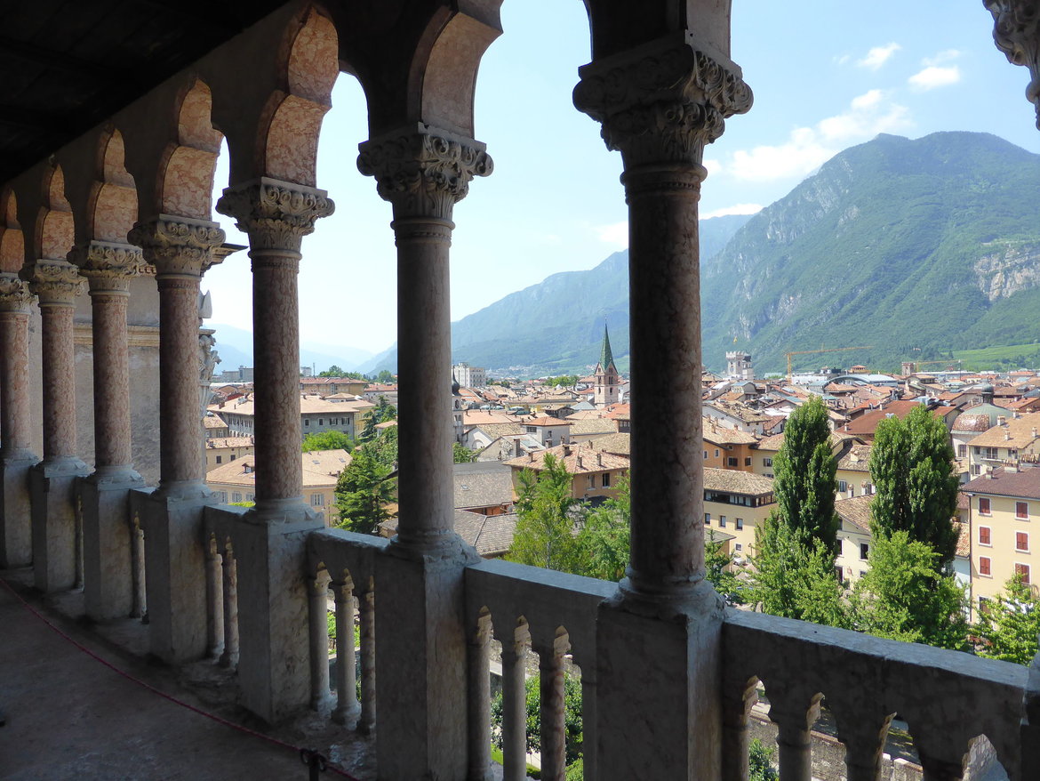
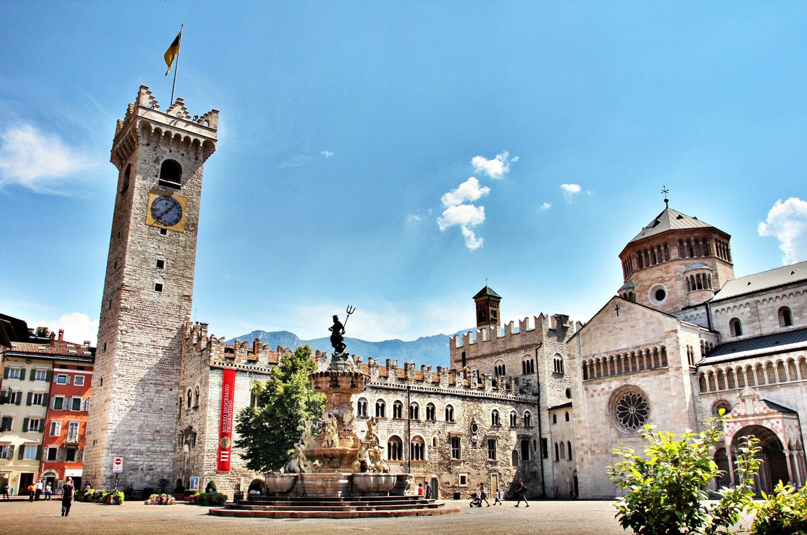
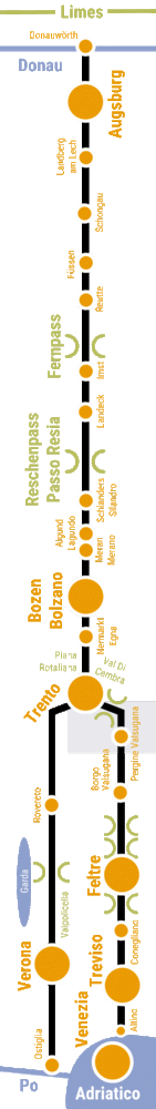
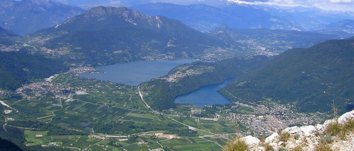
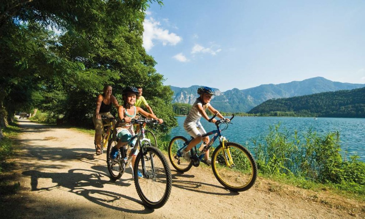
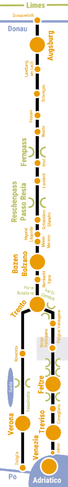
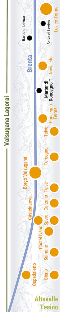
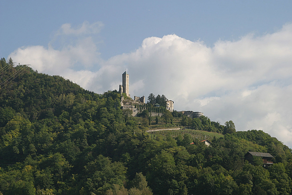
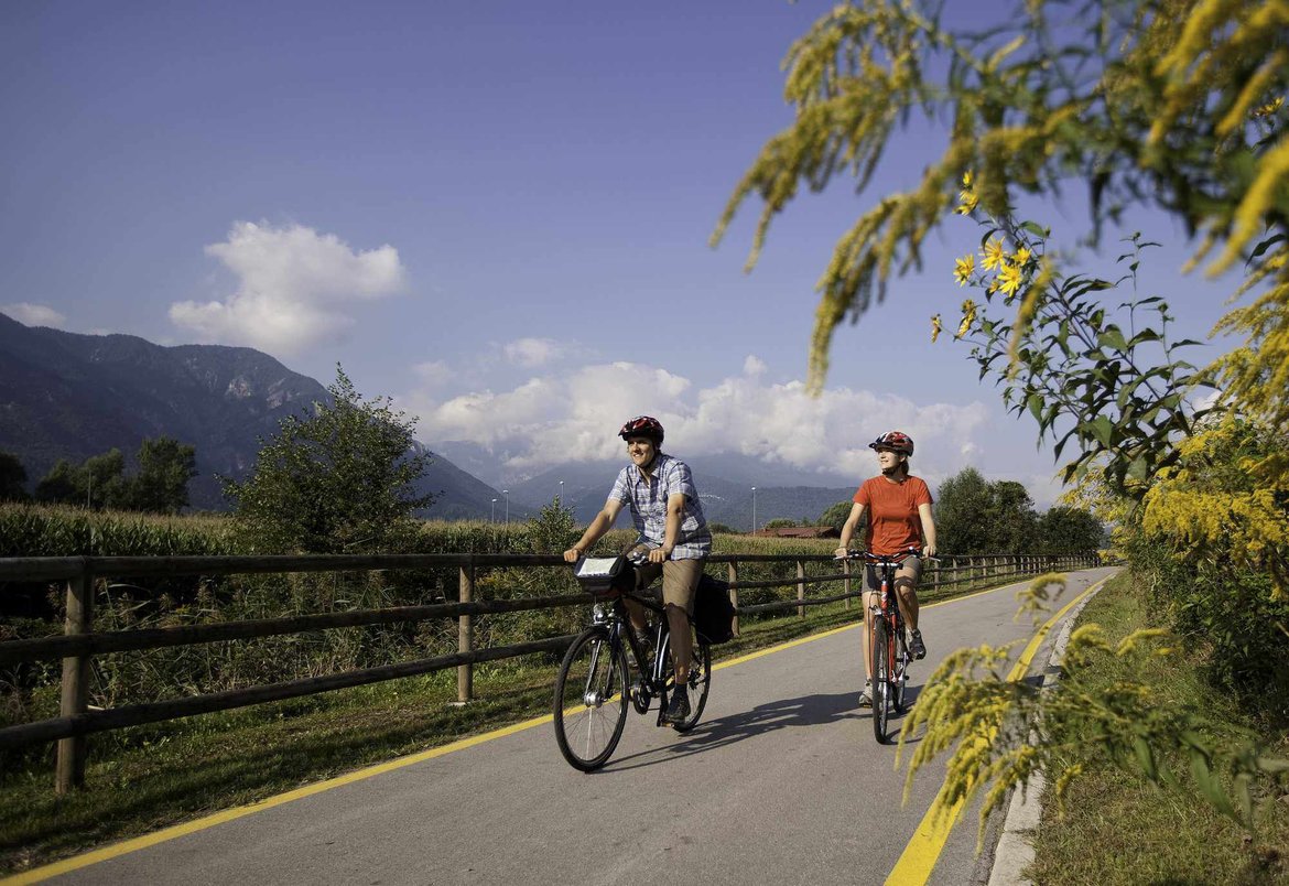
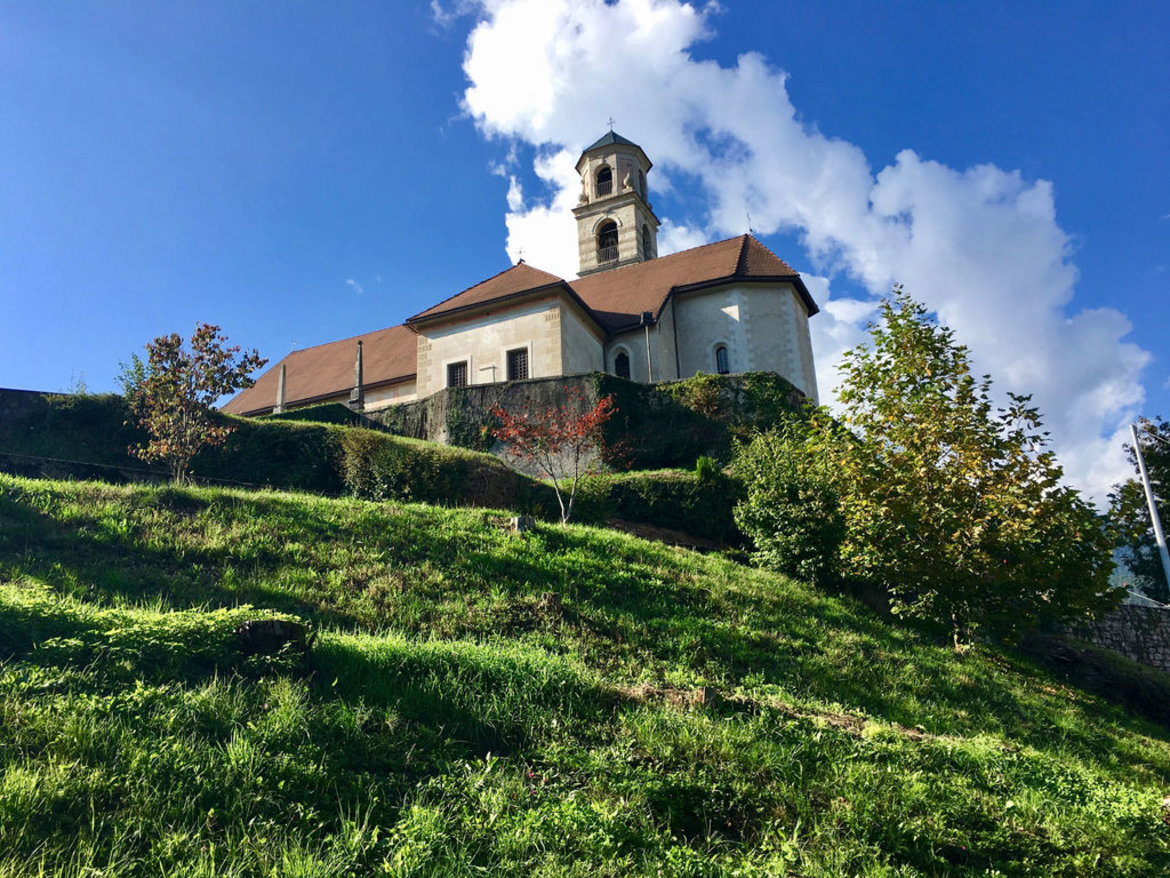
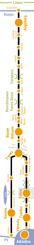
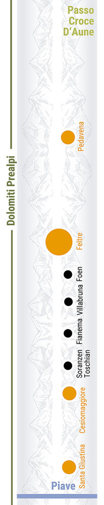
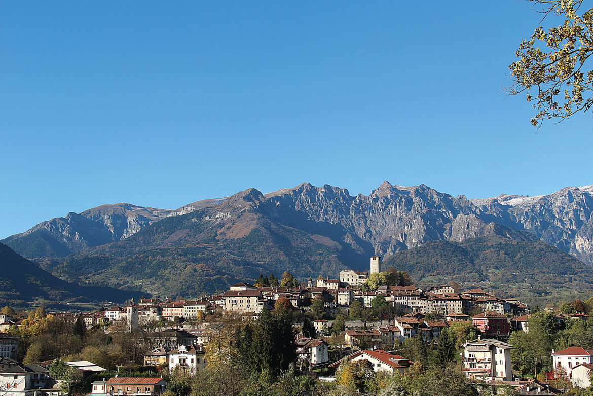
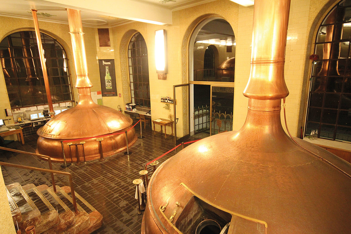
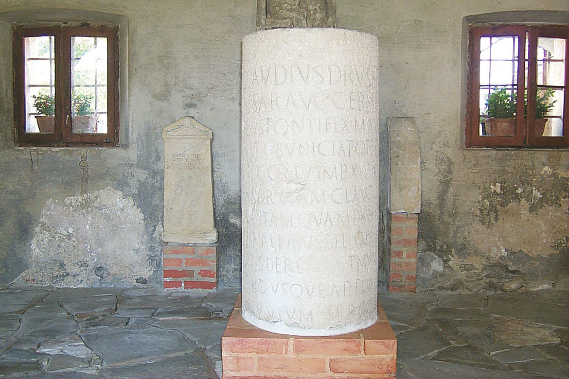
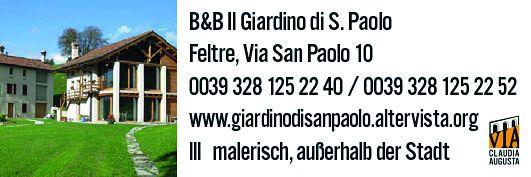
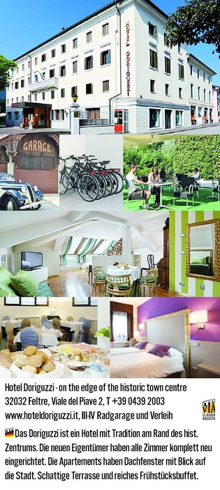
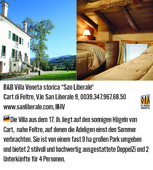
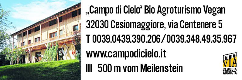
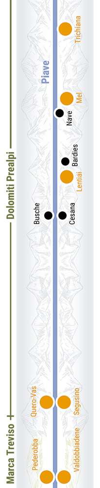
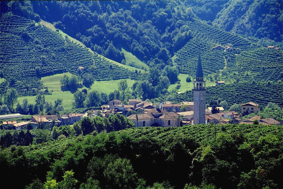
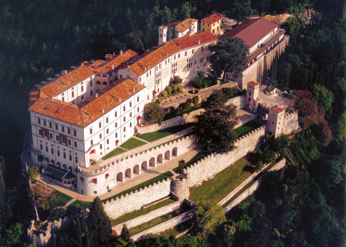
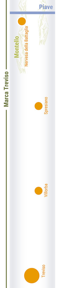
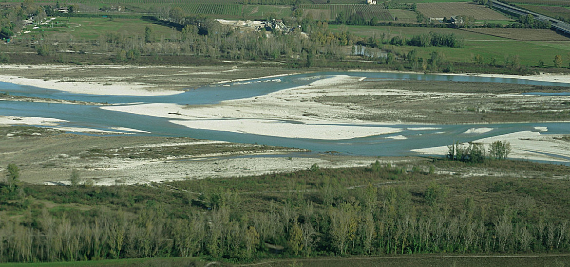
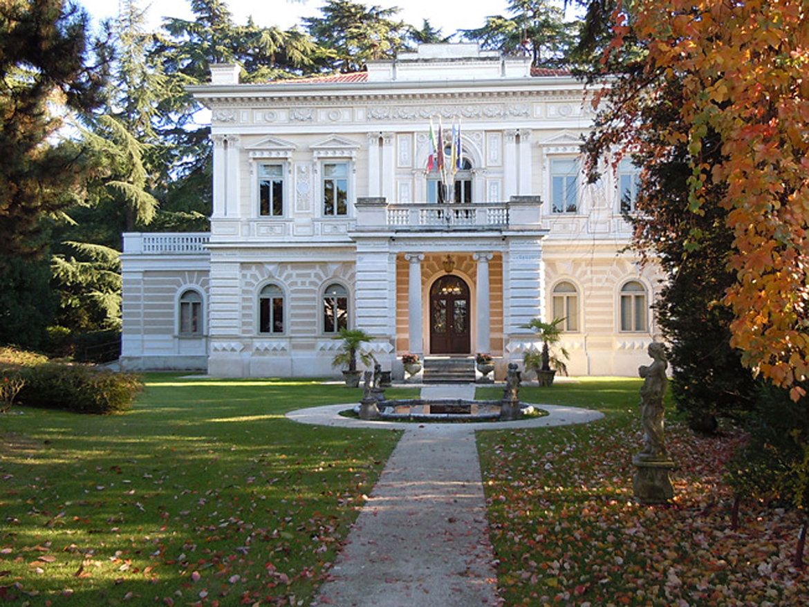
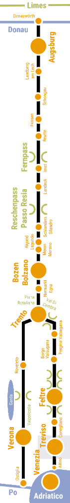
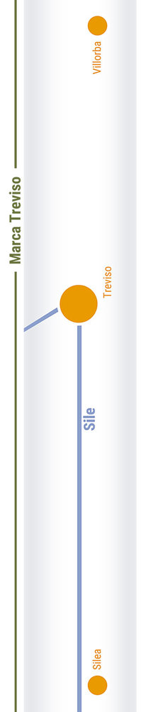
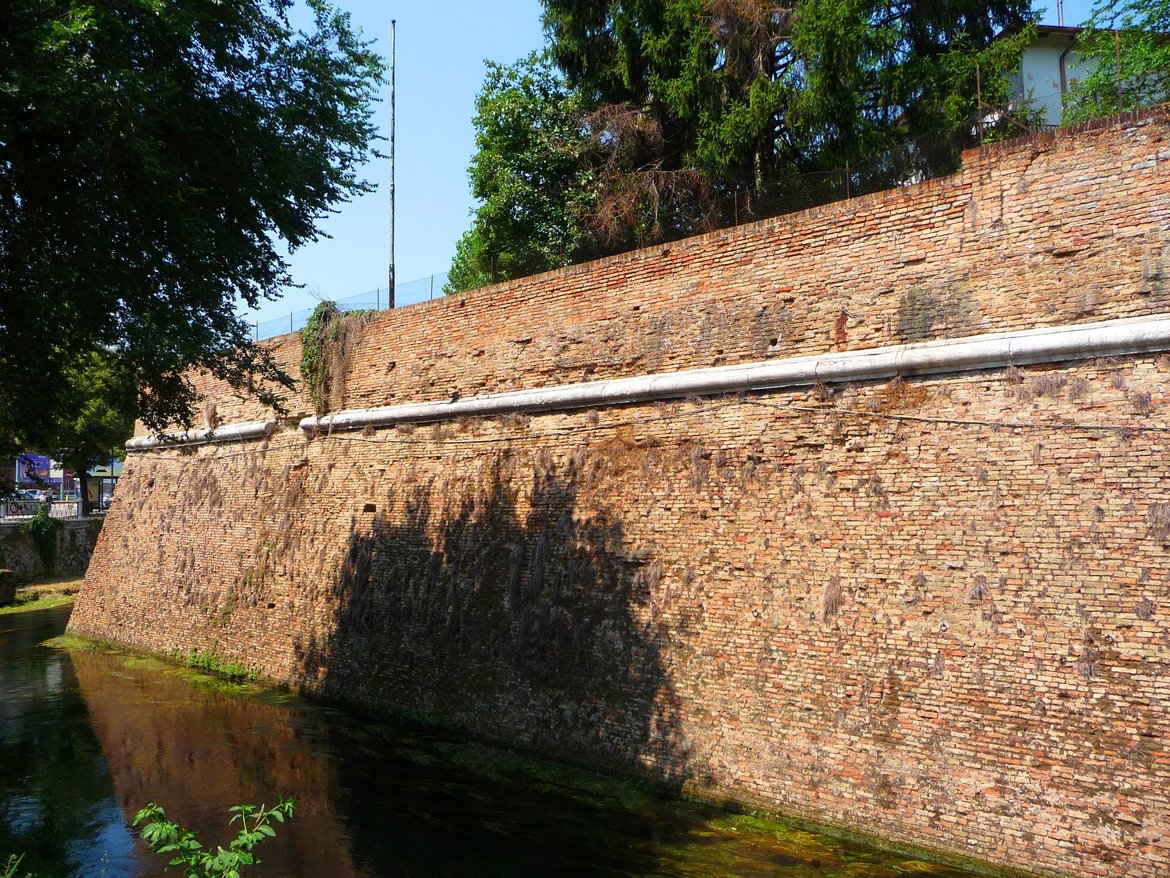
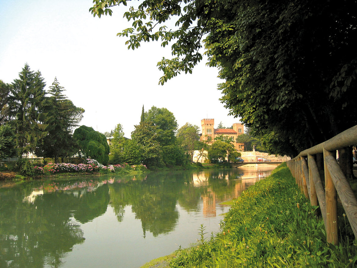
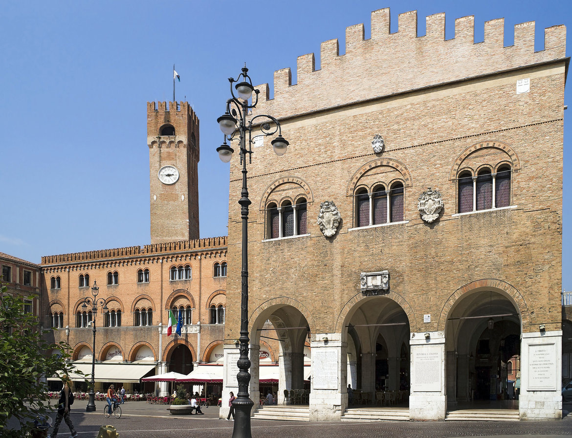
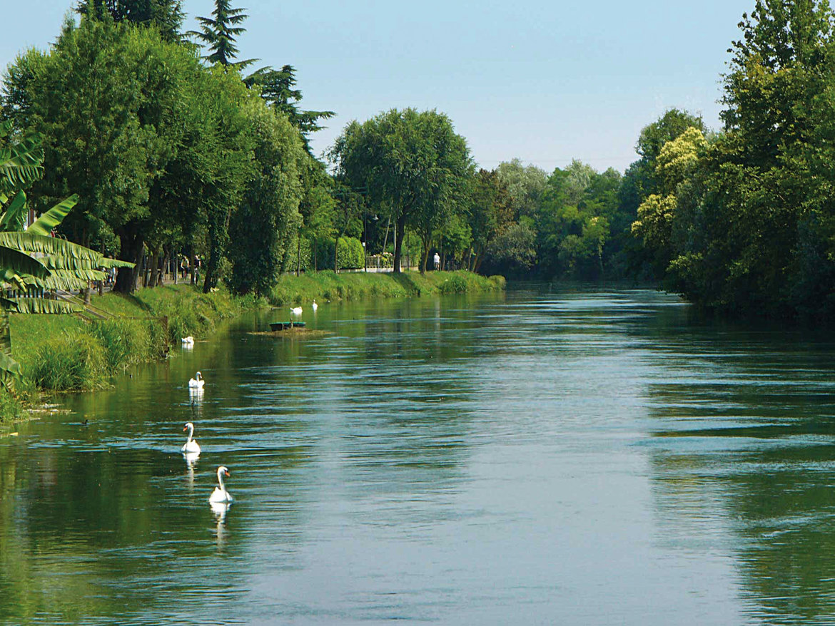
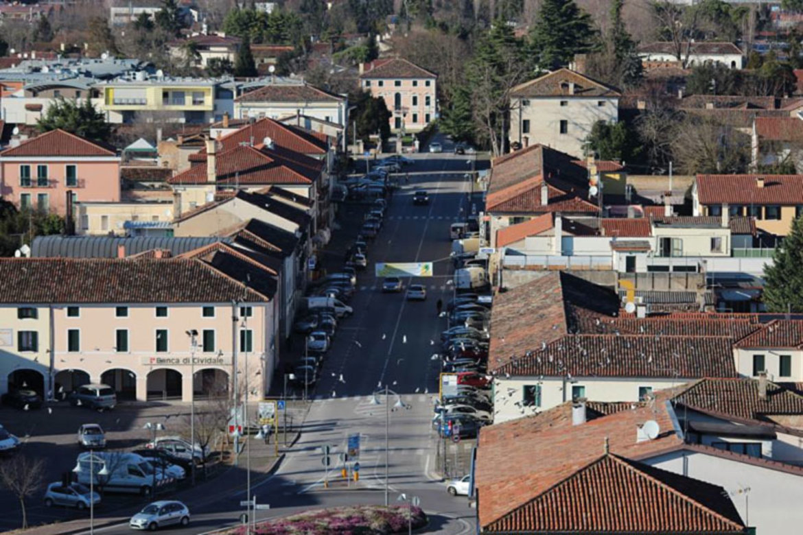
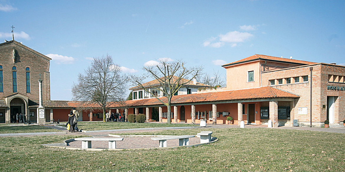
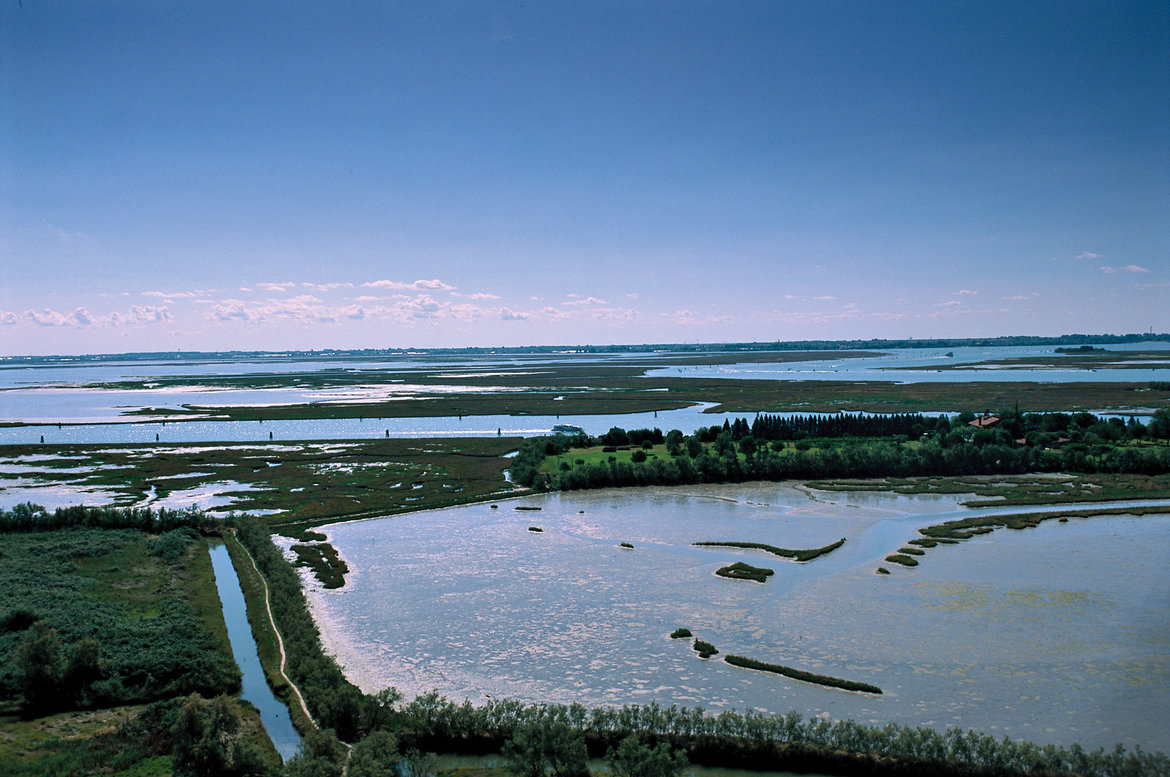
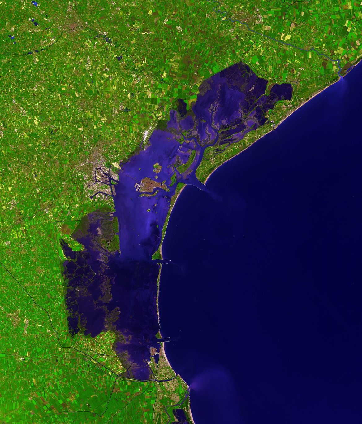
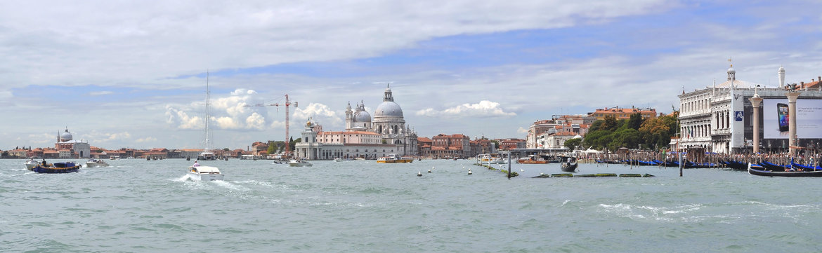
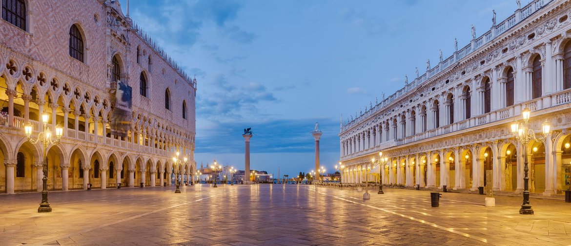
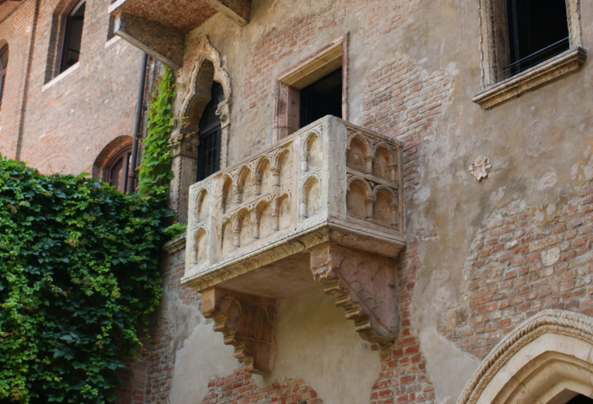
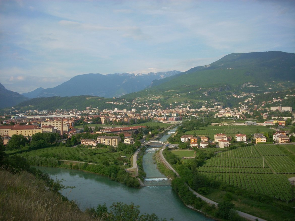
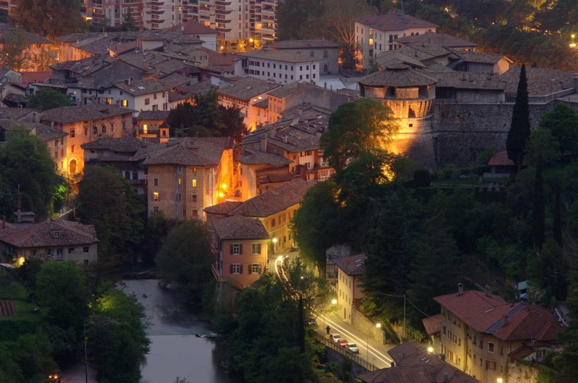
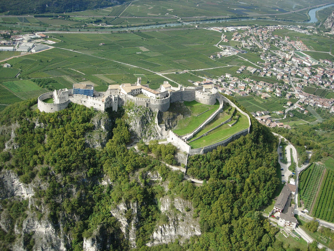
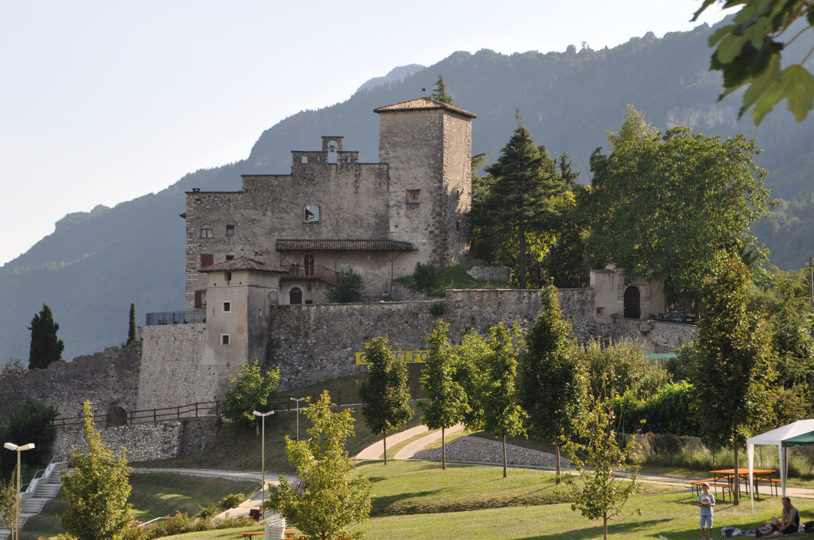