


Research on the Via Claudia Augusta is ongoing, on the history of the millennia-old road connection crossing Europe and on the history of the regions and places along the route. Here you will find successive impressions and information on research or publications about it.
Research projects


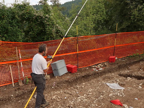
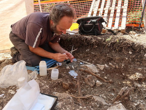
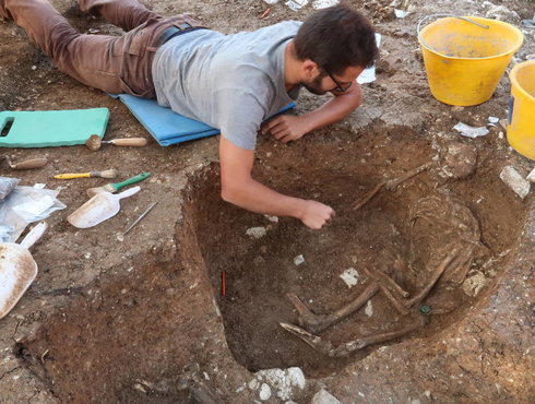
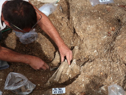
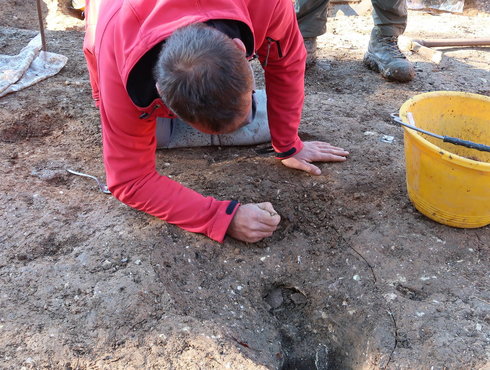
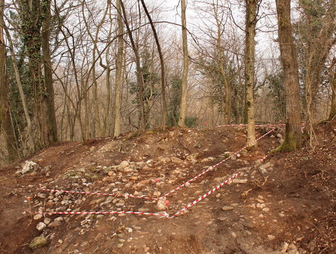
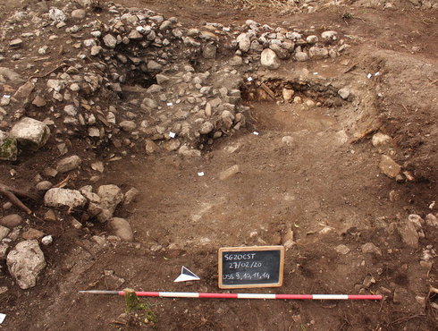
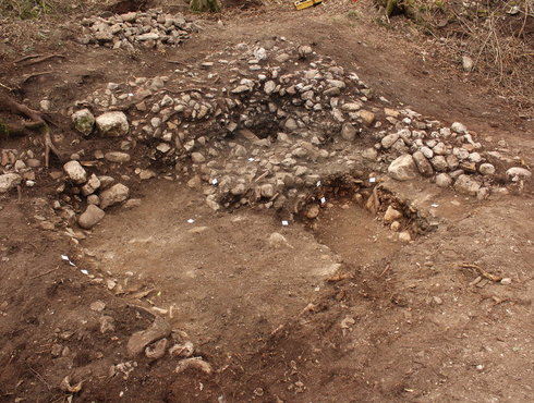
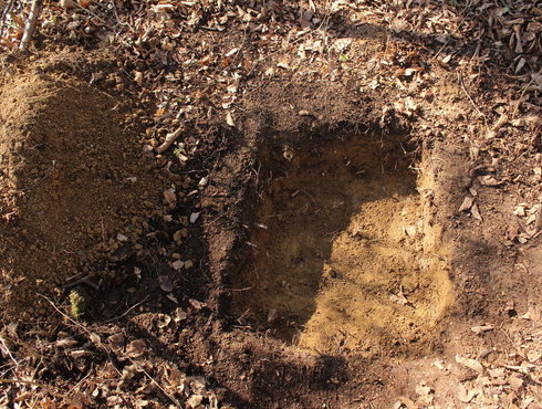
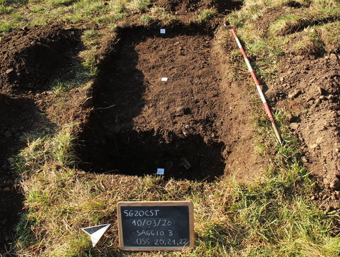
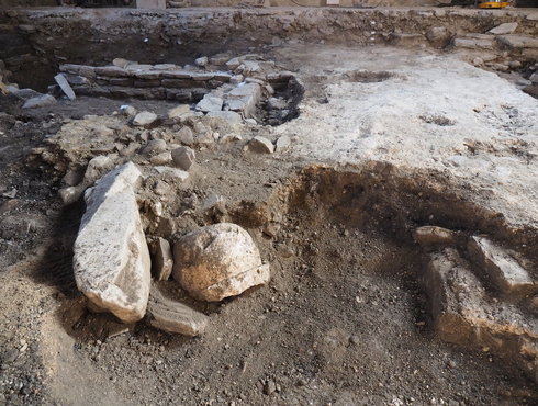
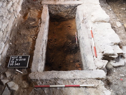
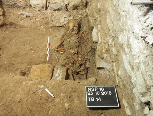
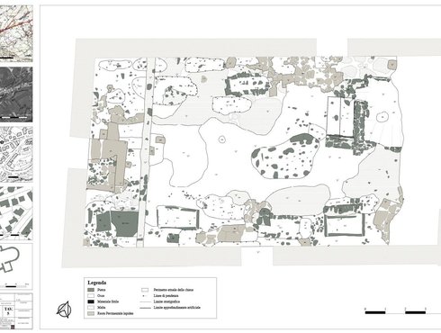
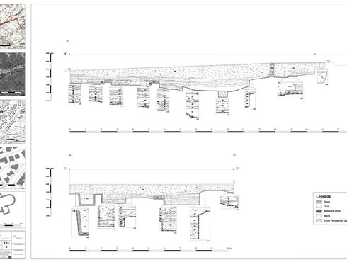
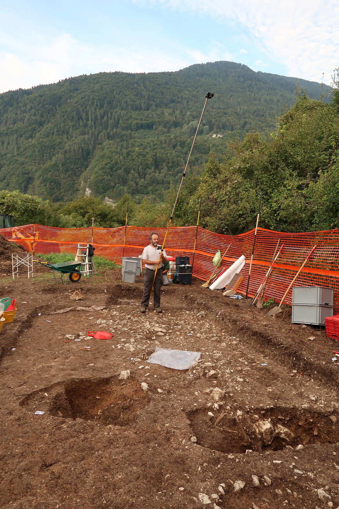
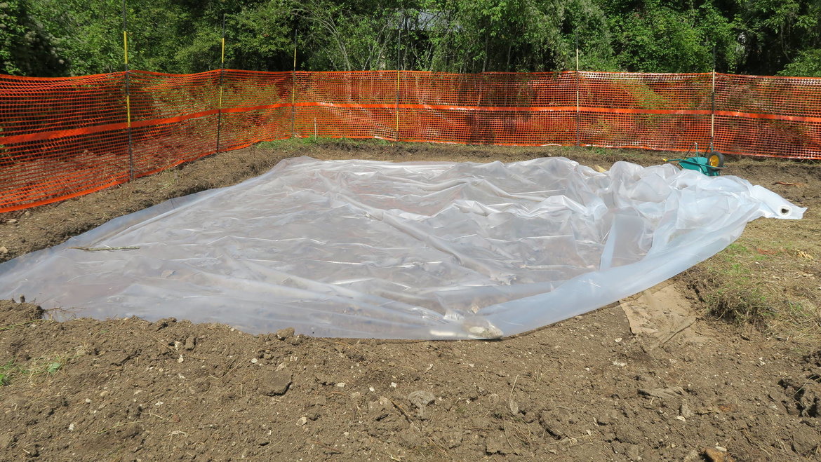
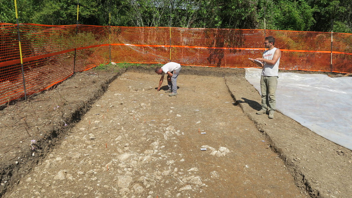
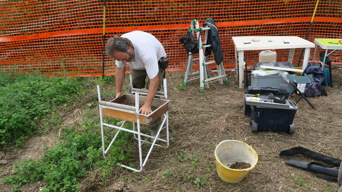
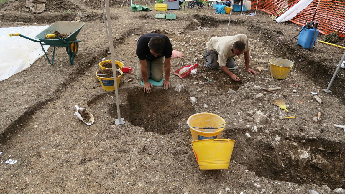
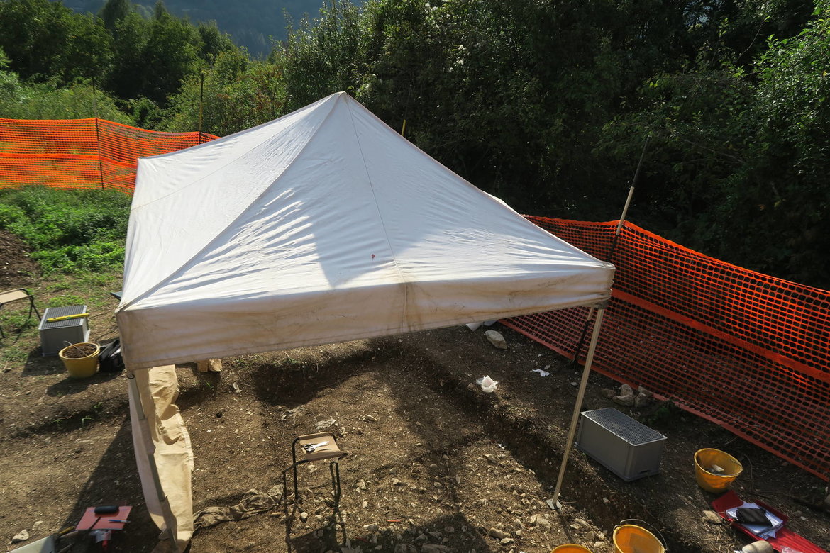
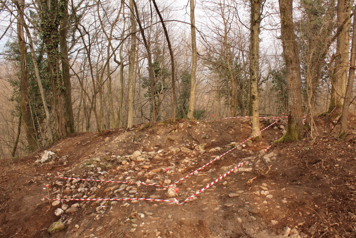
Archaeological excavation
in the cemetery
of San Donato / Lamon
(within the framework of the Interreg program)
Drone excavations San Dontato 1
short drone video 1 of excavations at the necropolis of San Donato / Lamon / Veneto.
Drone excavations San Dontato 2
short drone video 2 of excavations at the necropolis of San Donato / Lamon / Veneto.
Time-lapse video
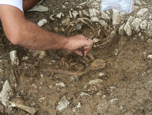
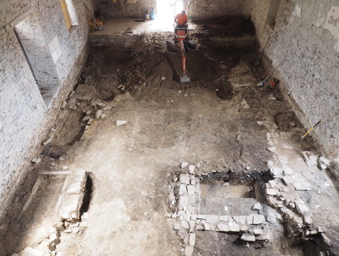
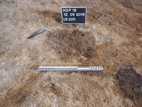
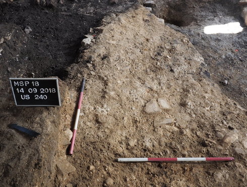
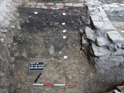
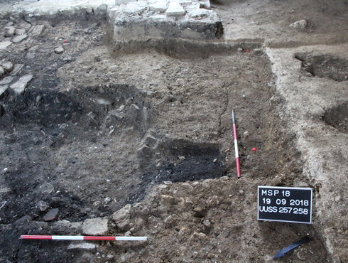
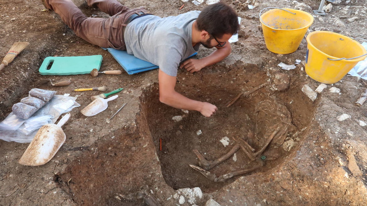
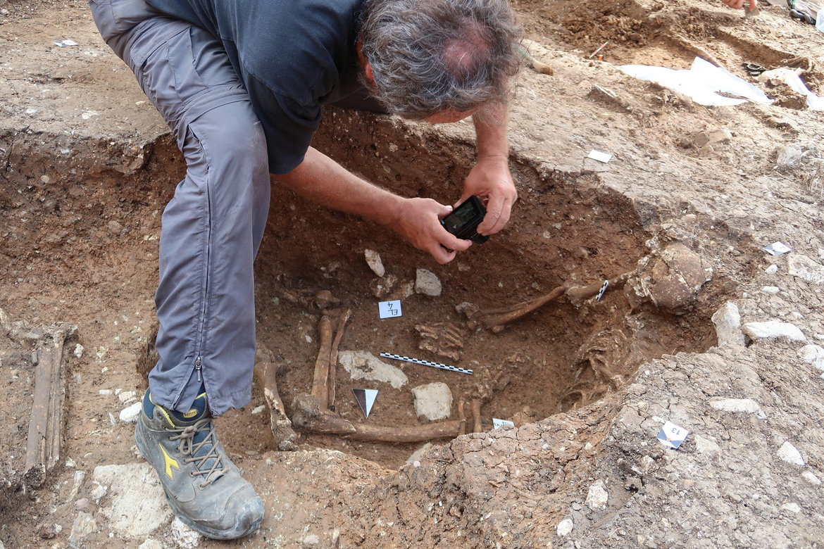
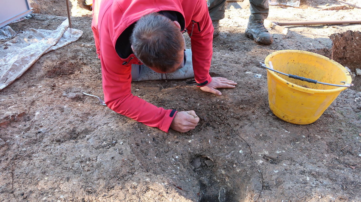
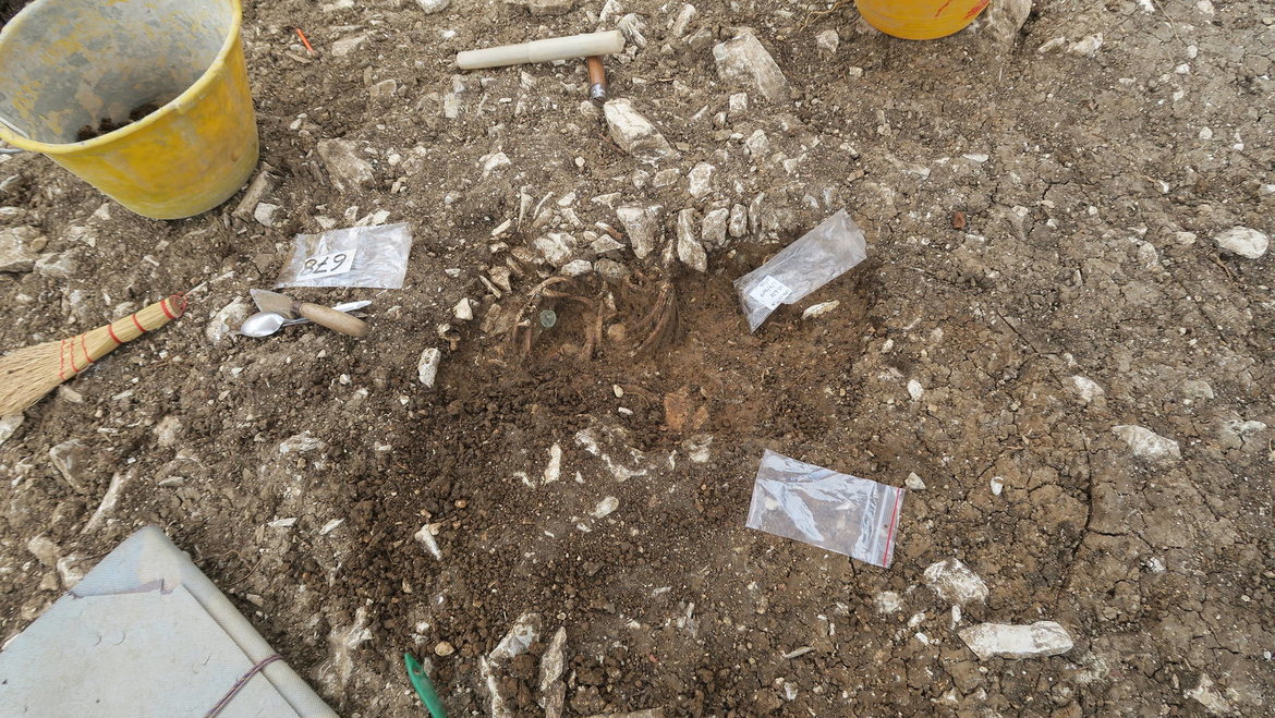
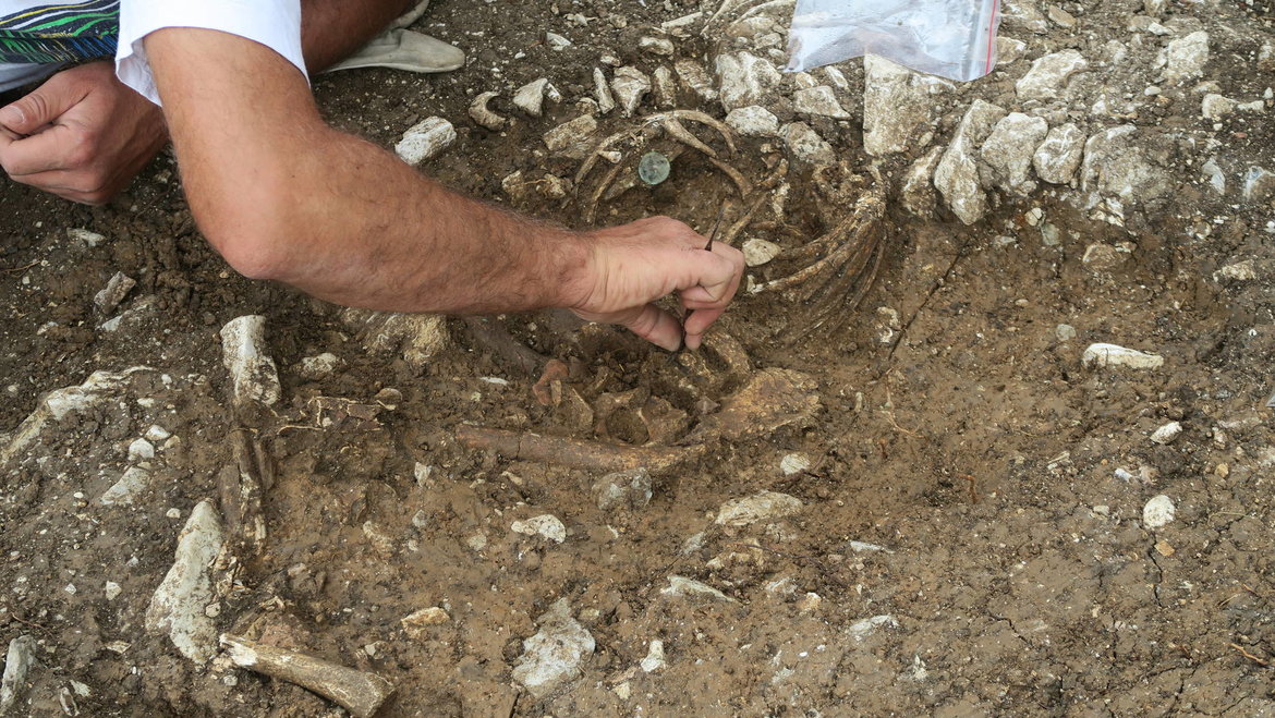
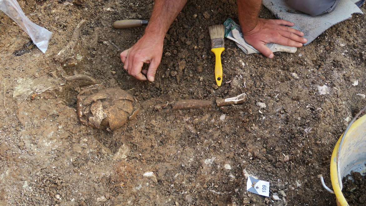
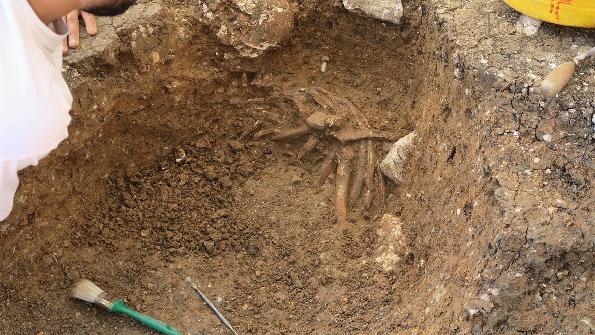
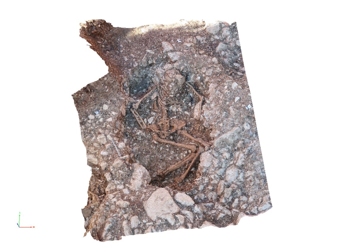
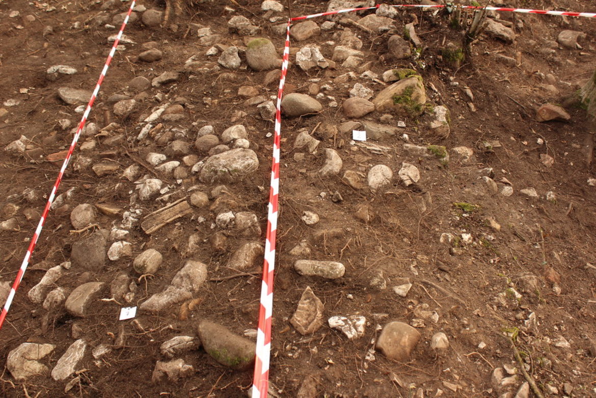
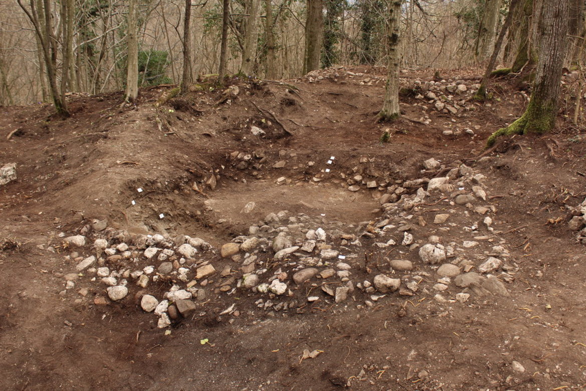
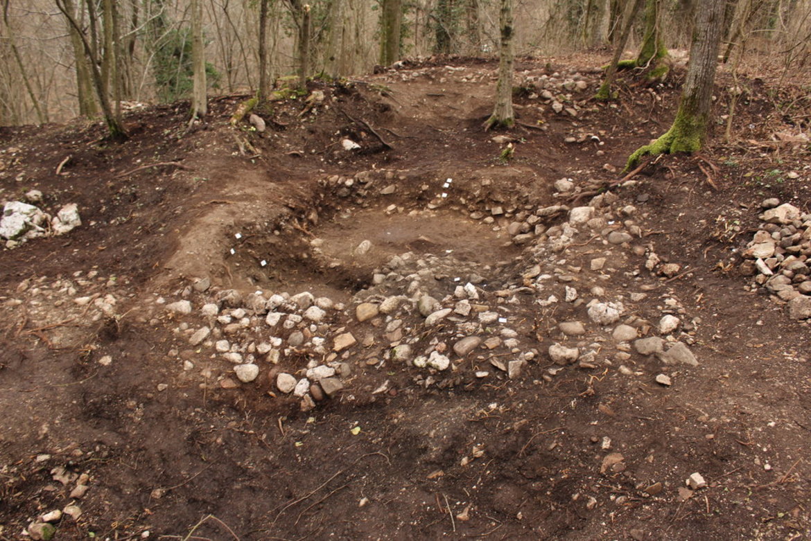
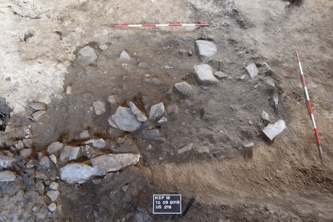
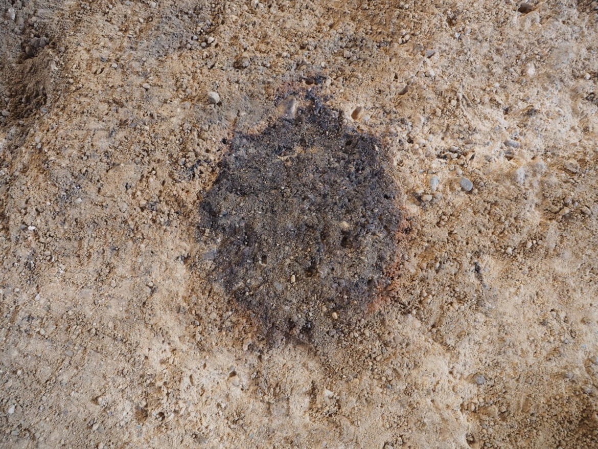
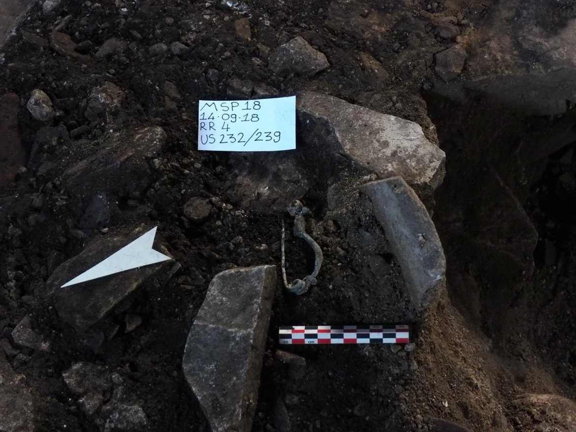
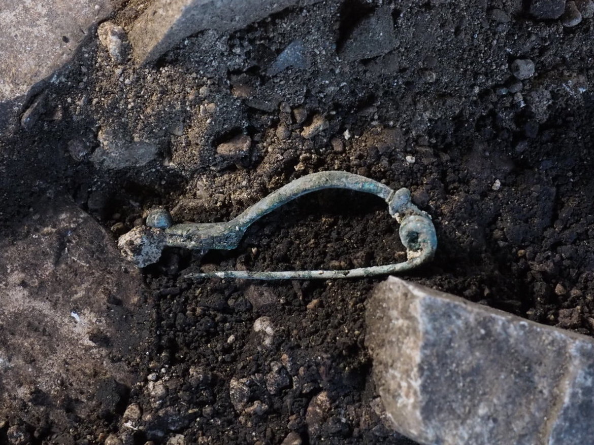
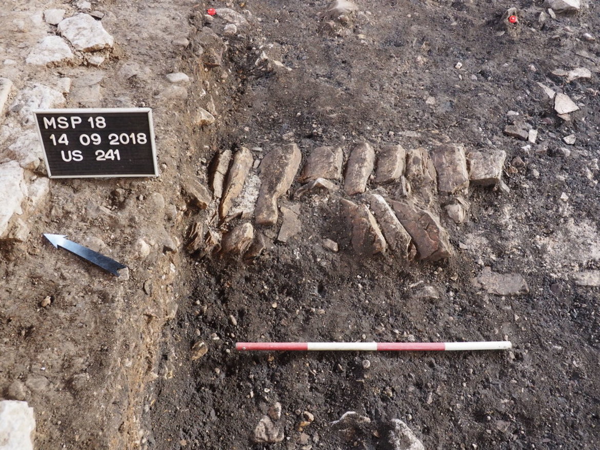
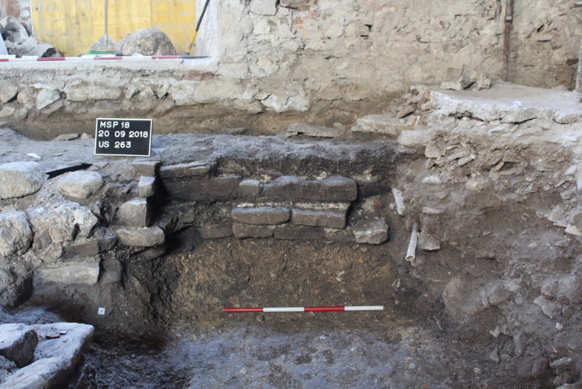
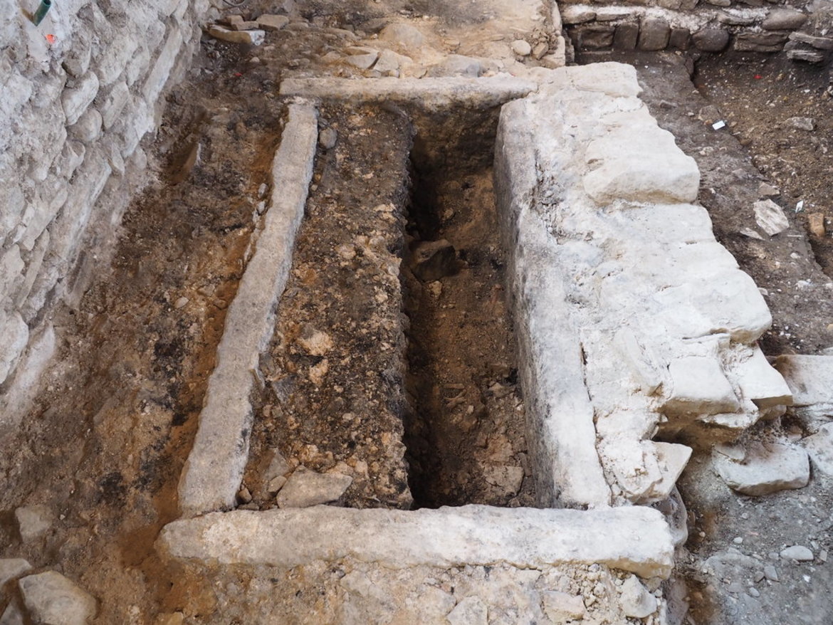
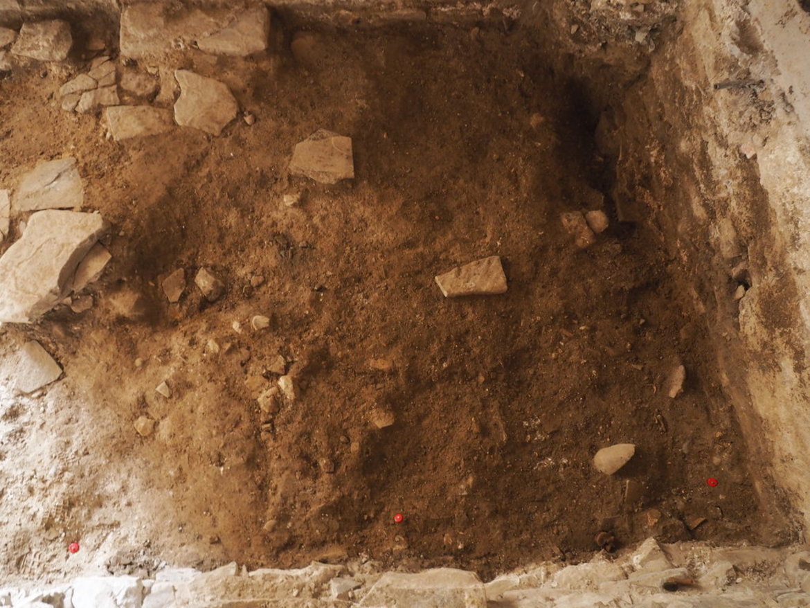
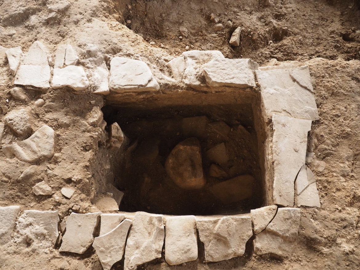
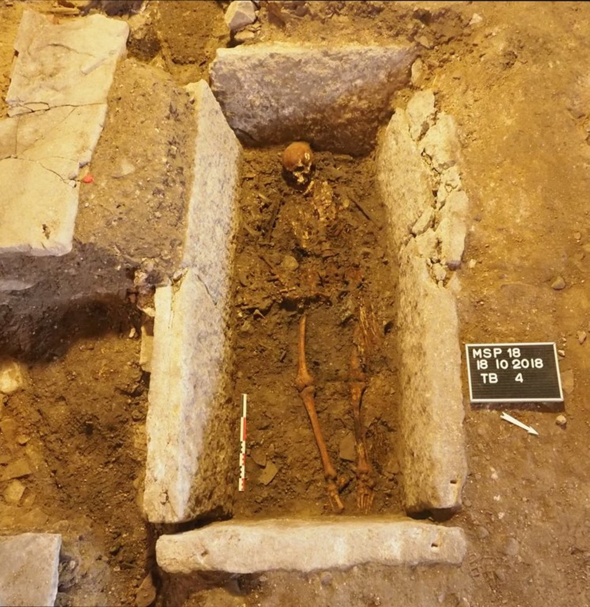
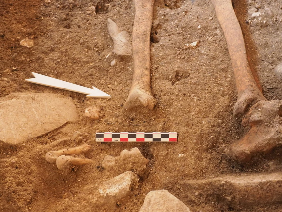
Photos of the archeological excavations


Results and conclusions (by Davide Pacitti):
The archaeological survey campaign just concluded has made it possible to study an area of the necropolis characterized overall by a good state of preservation and, in terms of grave goods, has revealed some interesting variants of the types already known and well attested in the necropolis.
The planimetric evolution of the funerary contexts seems to indicate a continuation of the site in a northerly and northwesterly direction with respect to the area studied so far, with a probable boundary in this direction formed by the natural valley called Boal Santo, located about 10 meters from the boundary reached during the last campaign.
After the completion of the processing of the data obtained in the field, attached to this report, the natural continuation of the investigation will take the form of a specific study, approached with a multidisciplinary approach, proceeding simultaneously with the typological classification of the funerary objects after the restoration work (already being carried out by the staff of the competent Superintendence) and the in-depth study of the osteological findings.
The subsequent phases, aimed at a historical-archaeological study of the entire site, will require specific laboratory analyses, which will also have to be carried out on the finds from the previous campaigns.

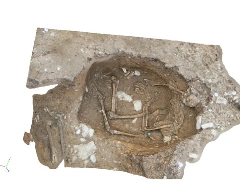
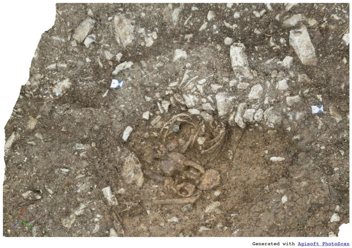
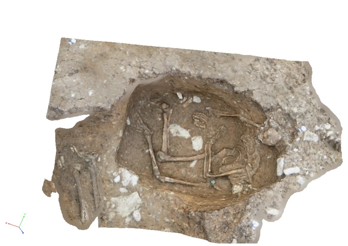
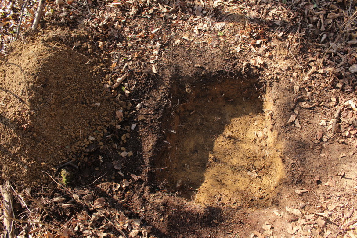
3d images of the opened graves
You can download the 3d images to your computer and then rotate them as you wish. You may need to agree to trust us for this and click on the small icon image again to open the 3d image.
3d image 1 of the opened grave
3d image 2 of the opened grave


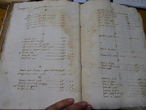
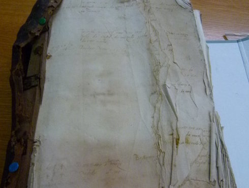
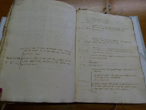
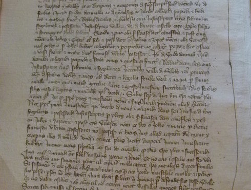
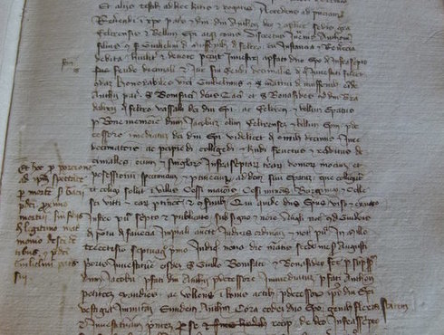
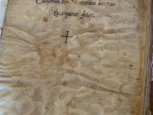
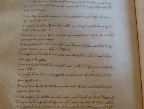
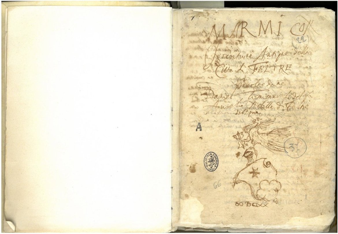
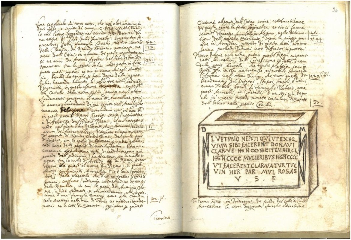
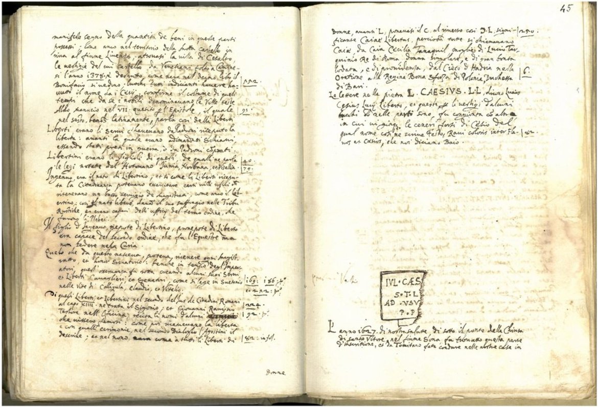
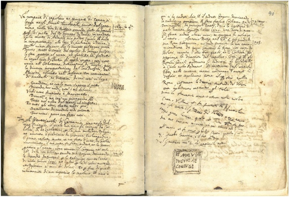
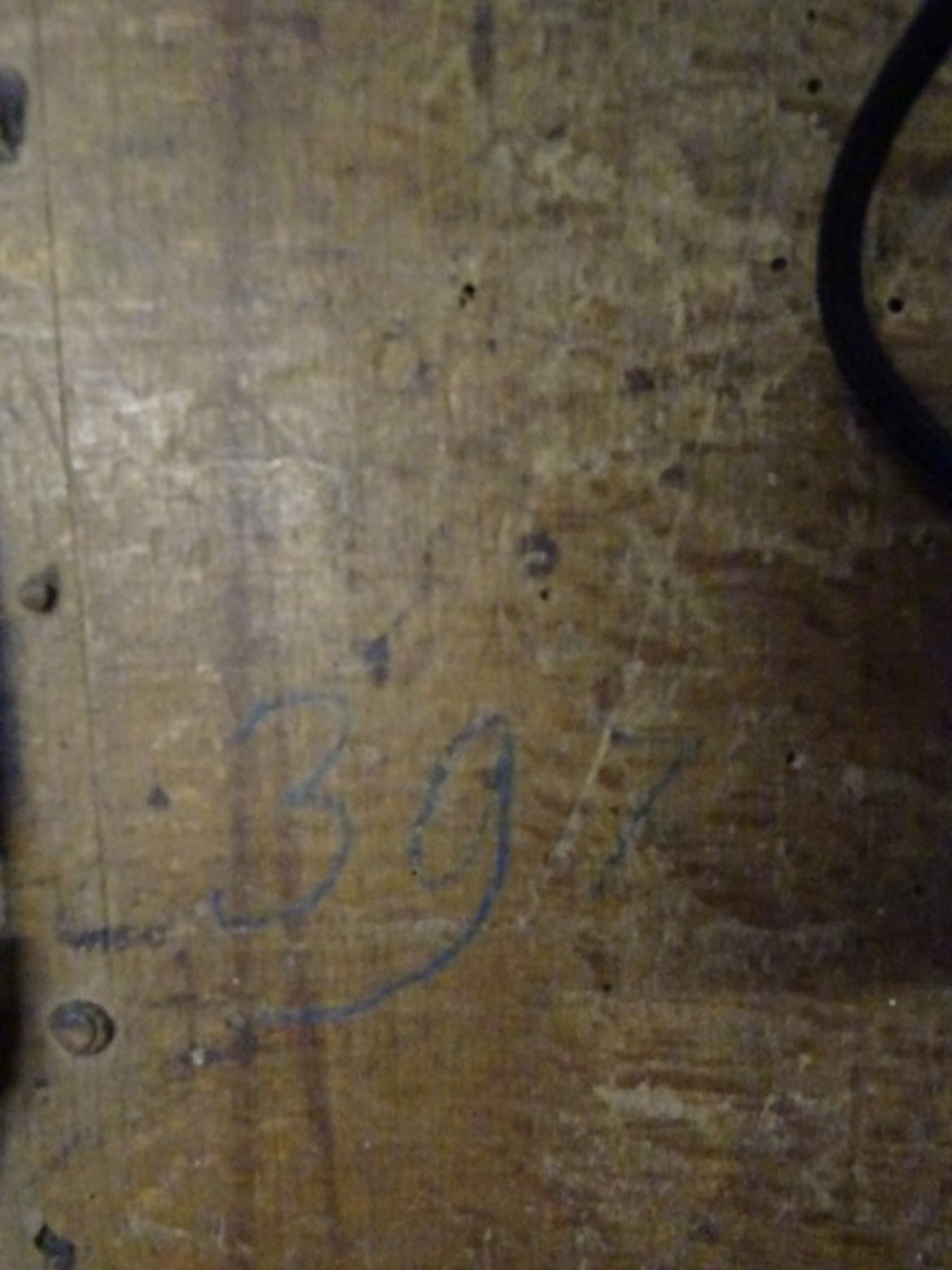
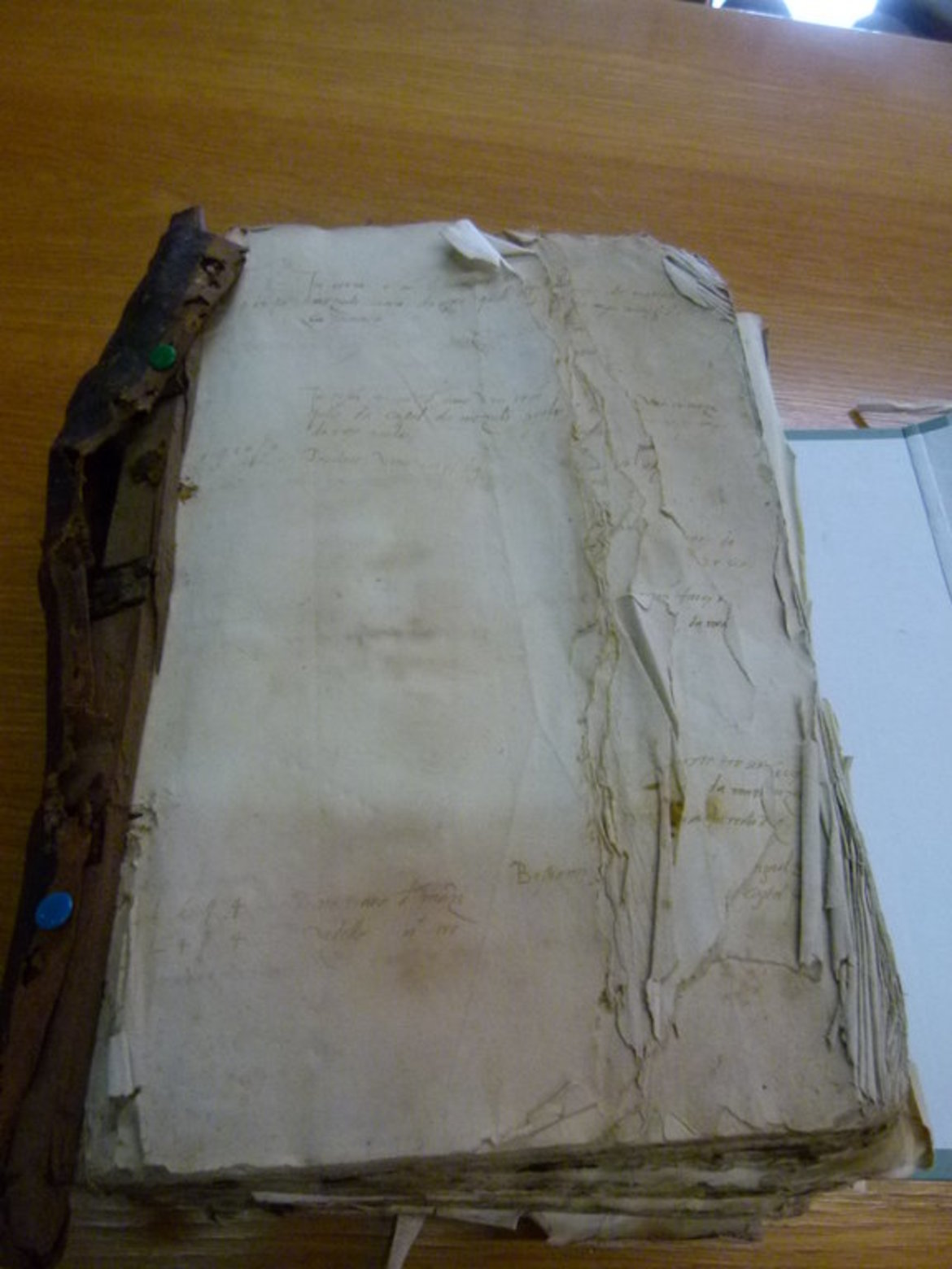
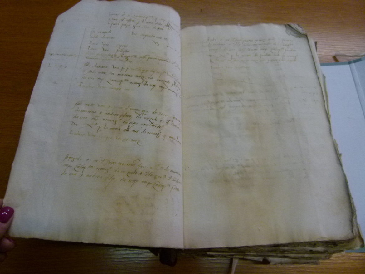
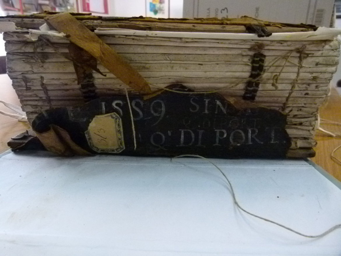
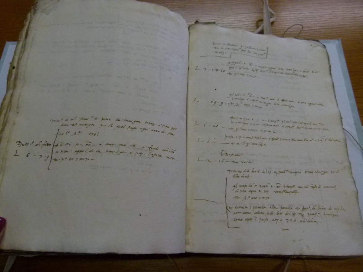
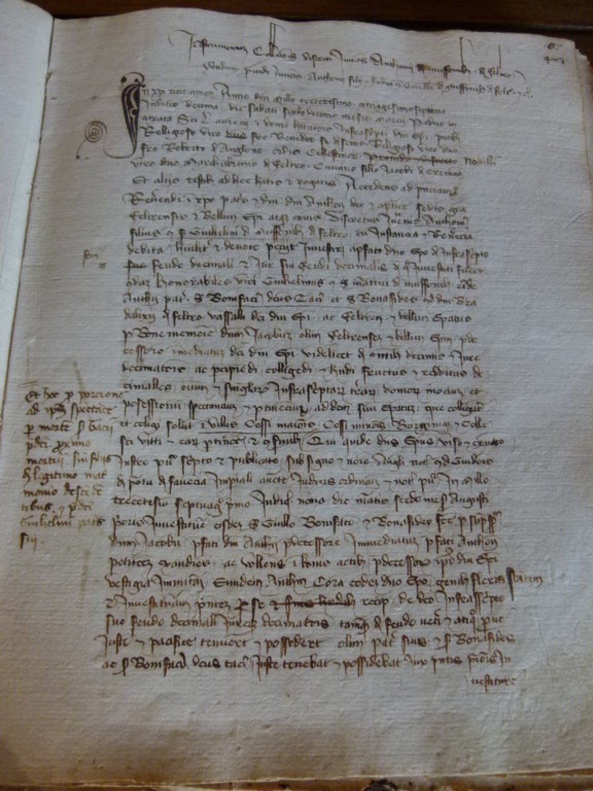
Complete transcription
of Daniele Tomitano's manuscript
Marbles with Inscritioni Antique
of the city of Feltre / Veneto
(as part of the Interreg program)

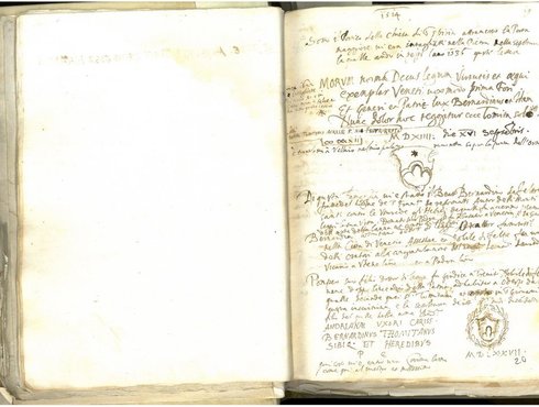


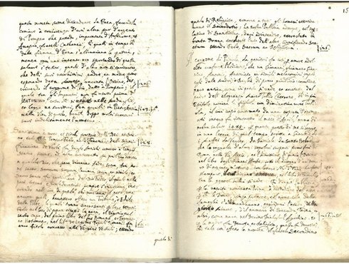
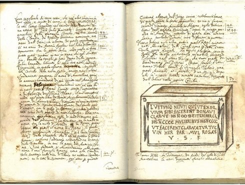


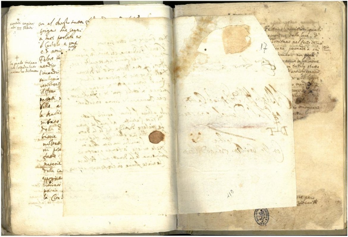
Short excerpt from the transcriptions:
... This Pietro died of the year 1471, while in Venetia medicando da saggiova del suo valore, et era da Faresio suo padre il corpo fatto trasportare nella patria et sepelire in questo monumento. Oltre li racordatti this family has had Bartholomeo et Pietro dotori eccelentissimi de suoi tempi; Bernardino son of Pietro who following his father's vestiges collected as much as was allowed her by the vital strame the antiquities of the homeland, of which I /203v/ am(a) served in such a way that if as this that he cavatore, although opened in better form I learned from his father Friar Bernardino in the Dominican order, not second to any, so from the writings of these I derived the allurement to the delight of investigating the matters that I have written ...
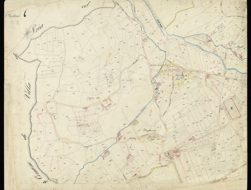
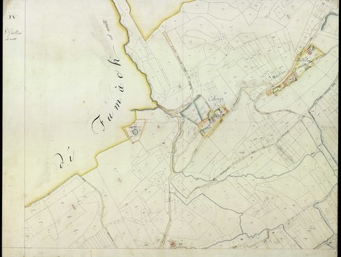
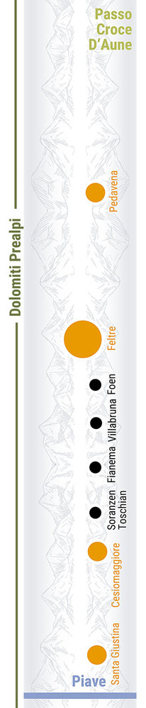
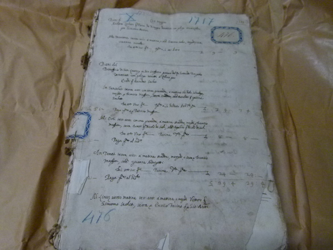
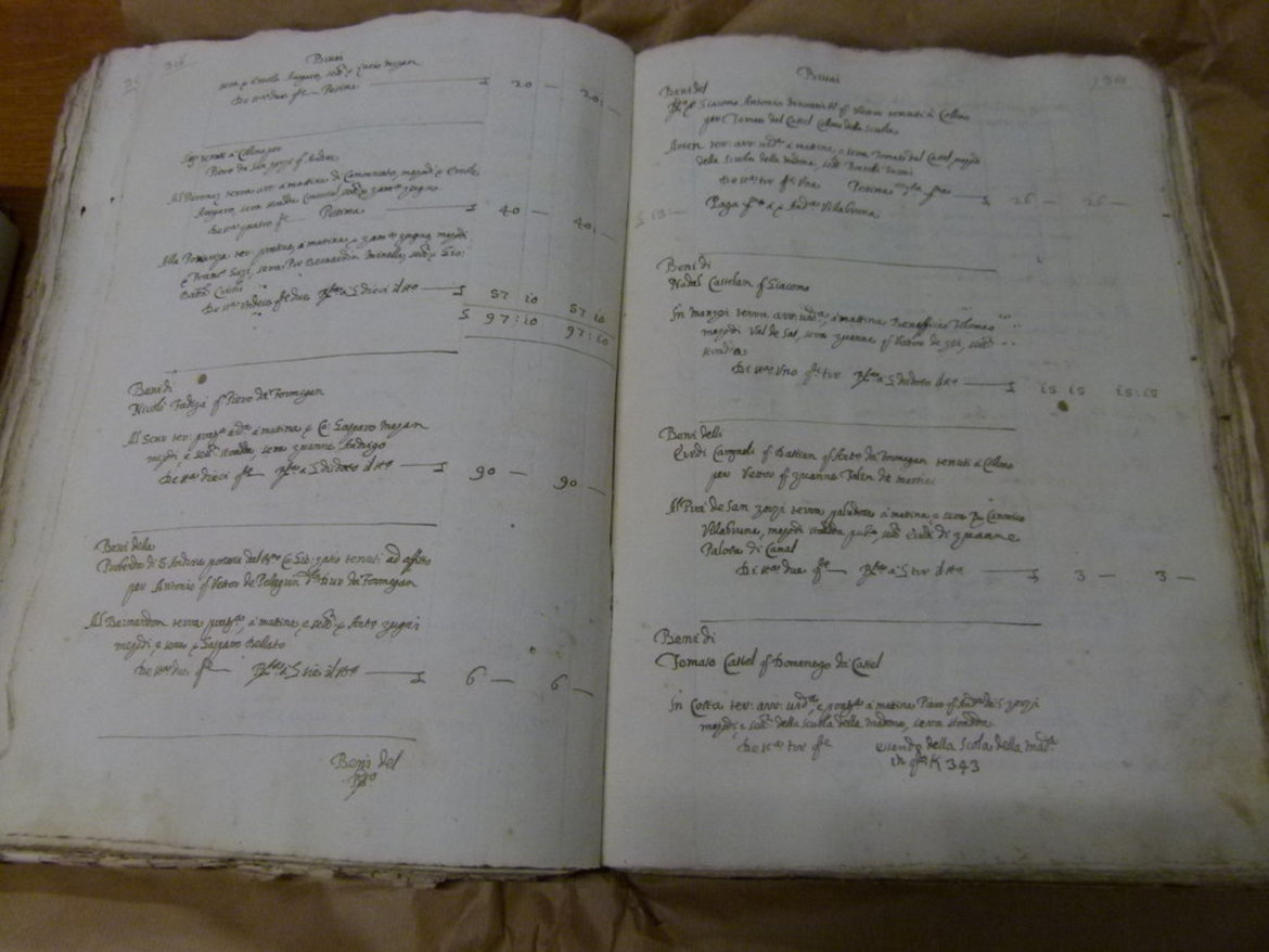
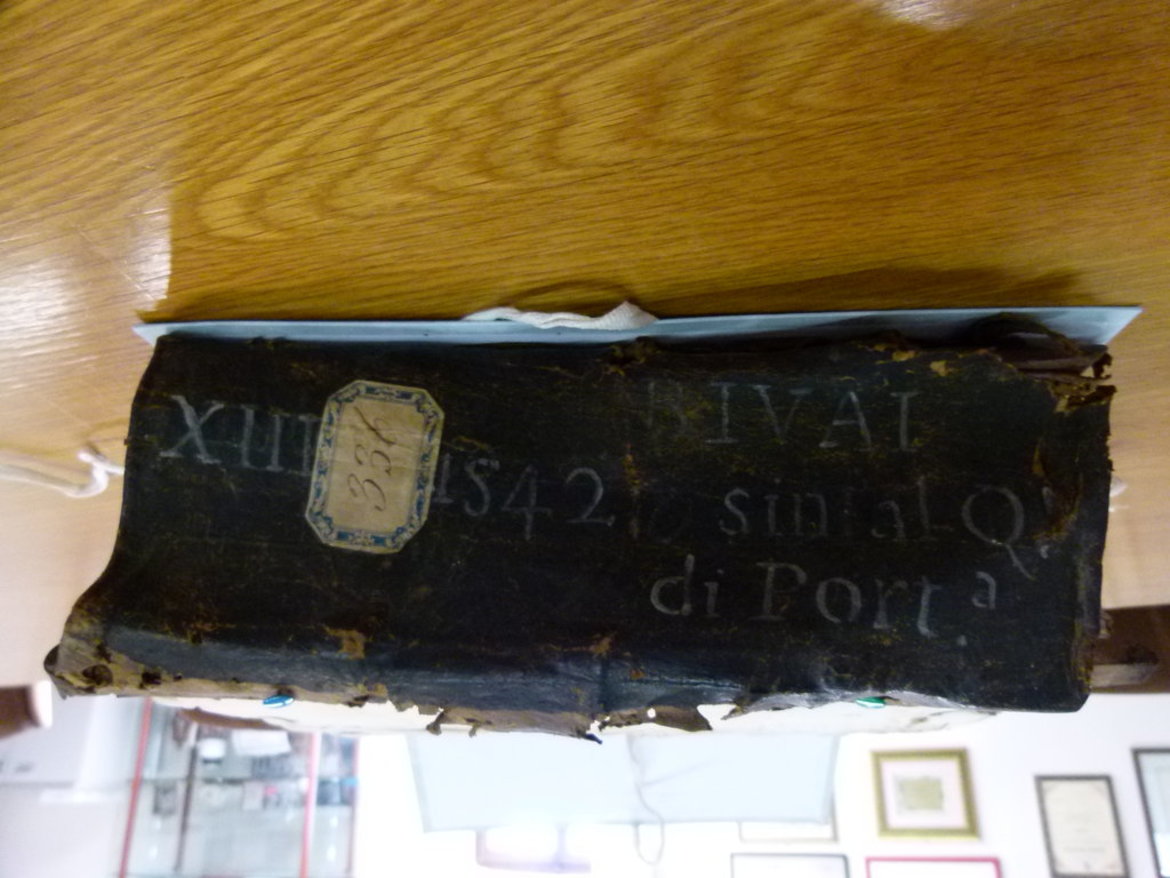
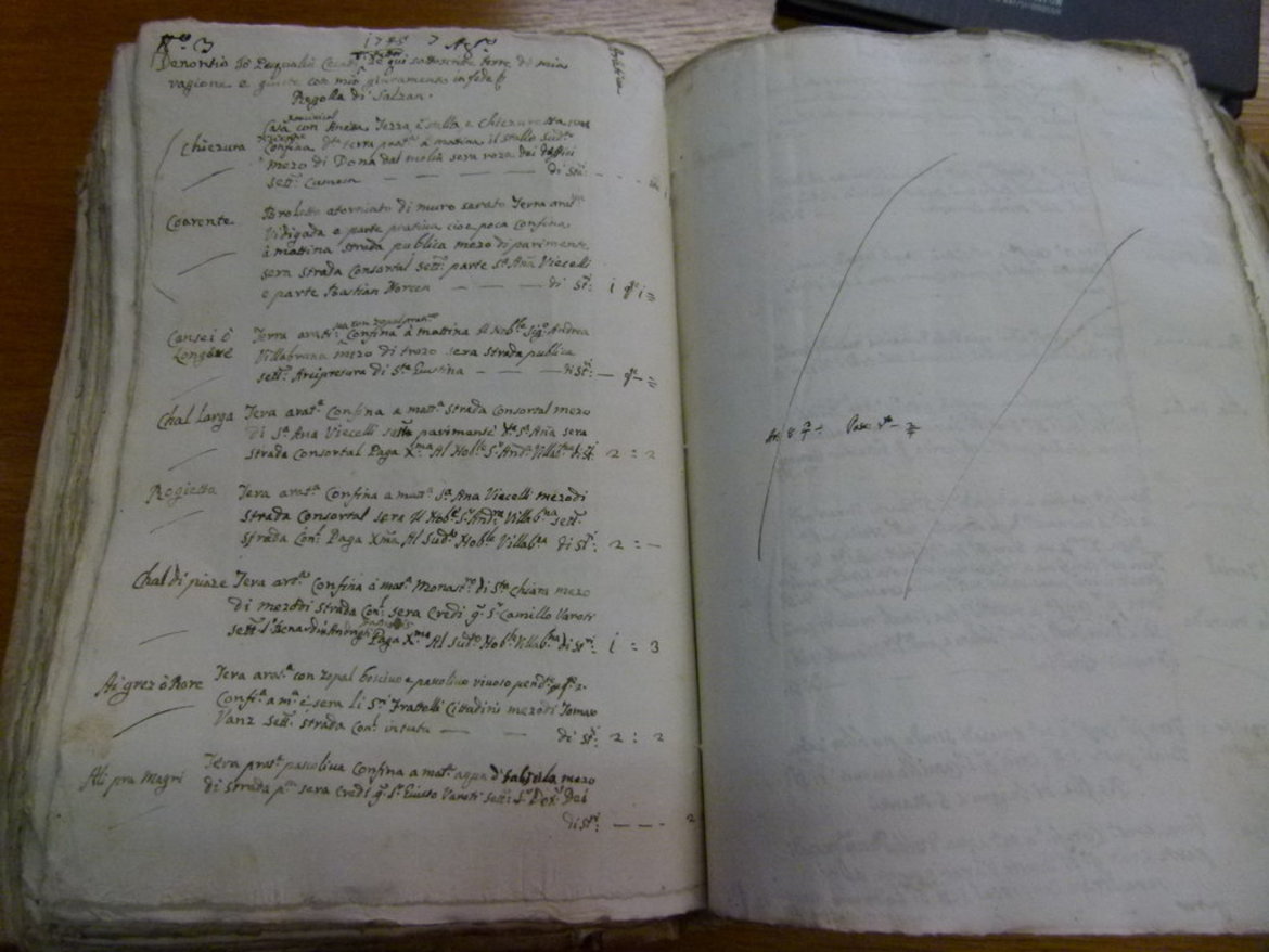
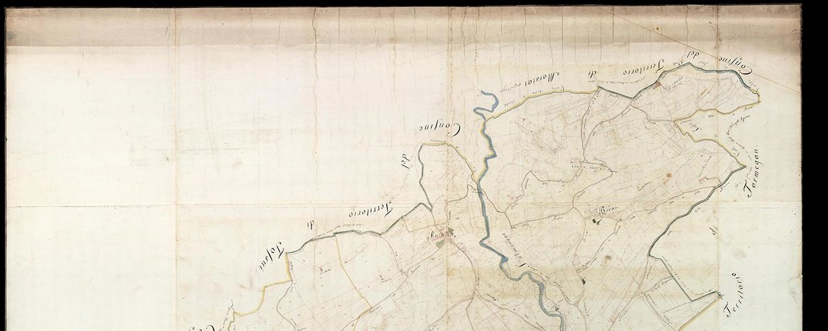
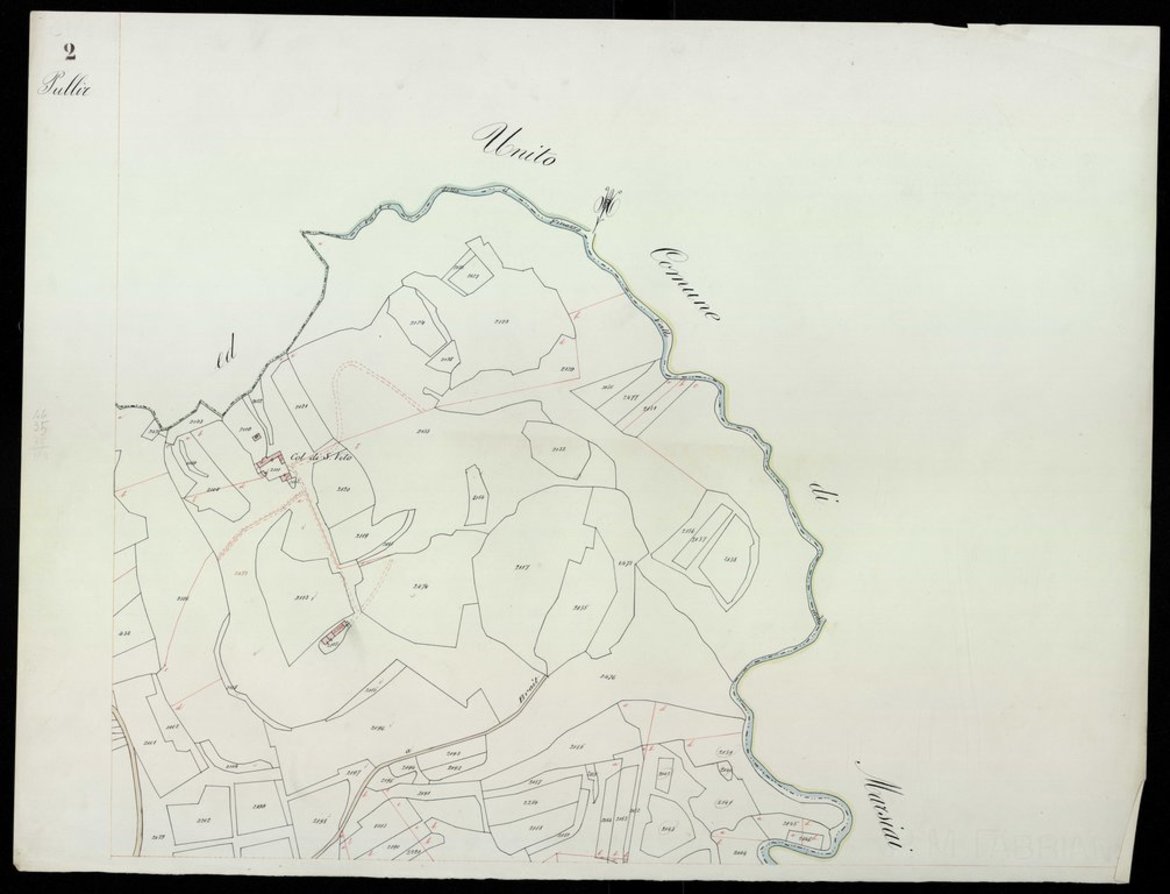
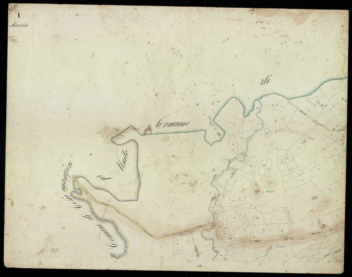
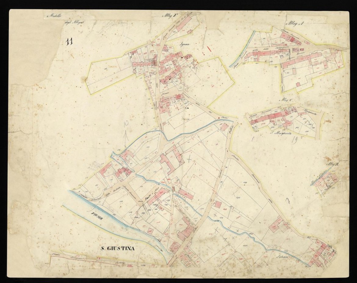
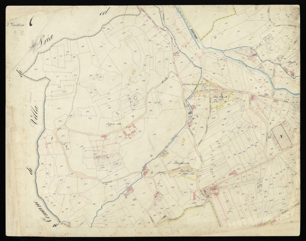
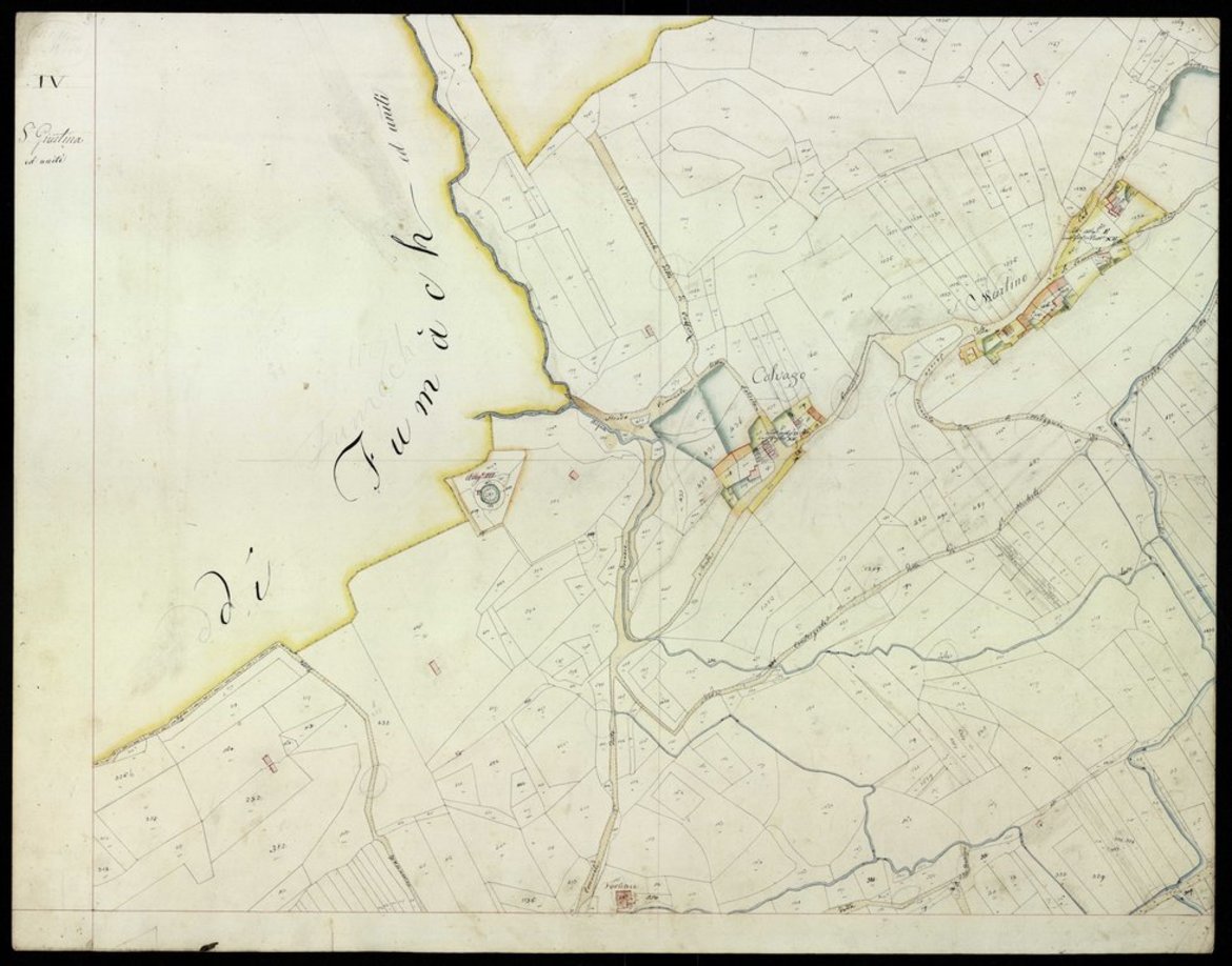
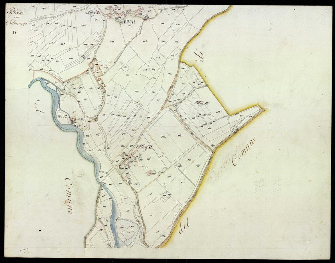
Historical/archival research
for the territory of the municipalities of
Cesiomaggiore and Santa Giustina / Veneto
(as part of the Interreg program)


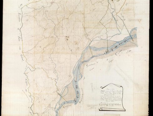
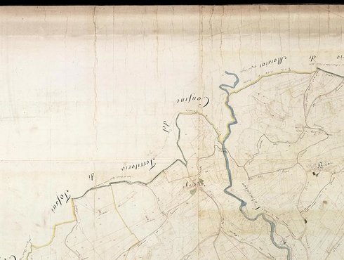


Introduction and concluding sentence in the brief summary report:
" ... The historian of Feltre dal Corno complains that the multiplicity of the ruins suffered by his city and the scarcity of writers deprives it and also us of many peculiarities that occurred in the disastrous century in which the event I reported happened. I had the good fortune to be able to gather enough from an old chronicle to give news of a thing of which there has been no hitherto heard. I trust then that no one of the noble family will be to regret this thought of mine ..." so wrote Guecello Tempesta in Arrighetta, a history of Feltre in the sixth century, to celebrate the Avogaro-White wedding in 1832. Words that translated into the following context summarize the outcome of the research.
...
It was an excursus between centuries, a bird's eye view between centuries over an area where water and land in synergy have successfully determined human settlements since time immemorial.
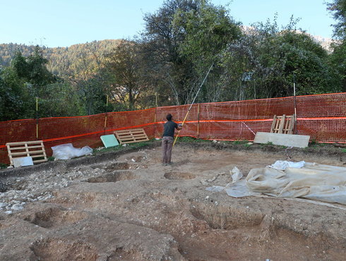
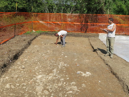
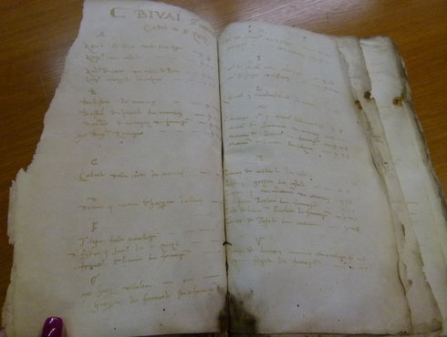
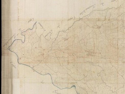
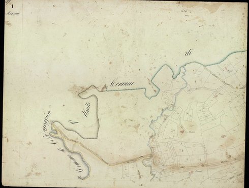
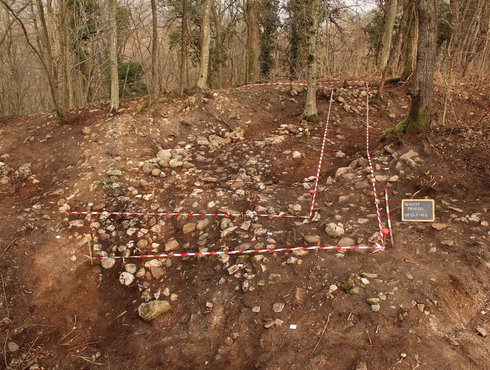
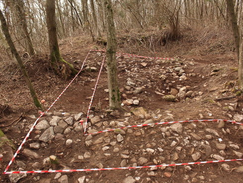
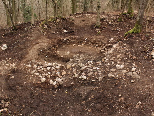
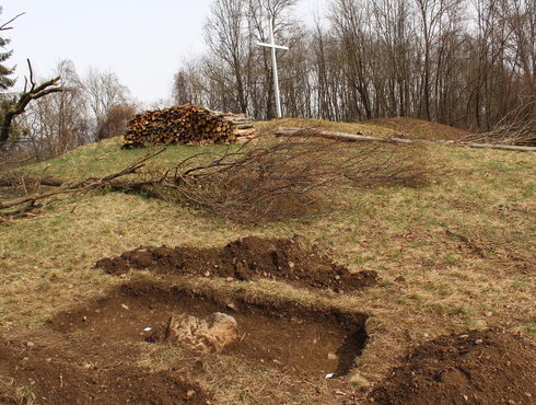
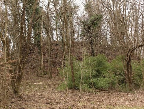
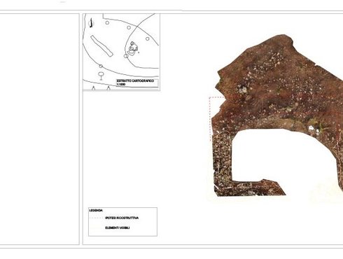
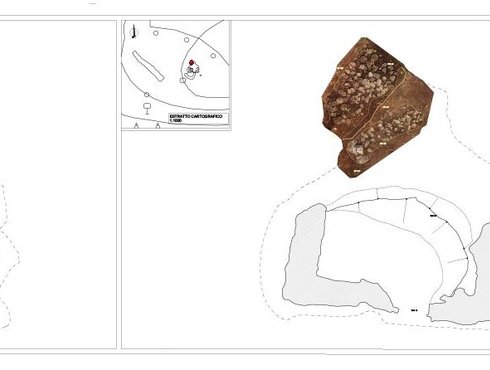
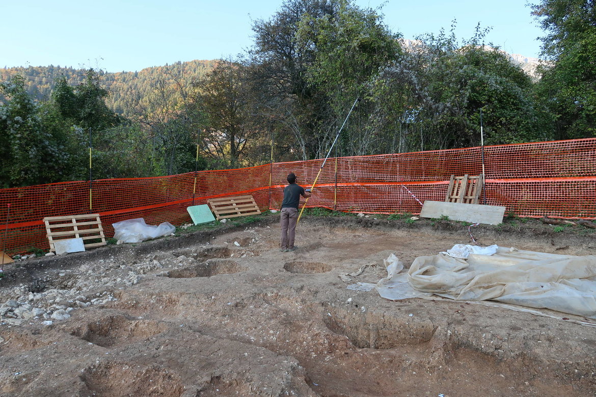
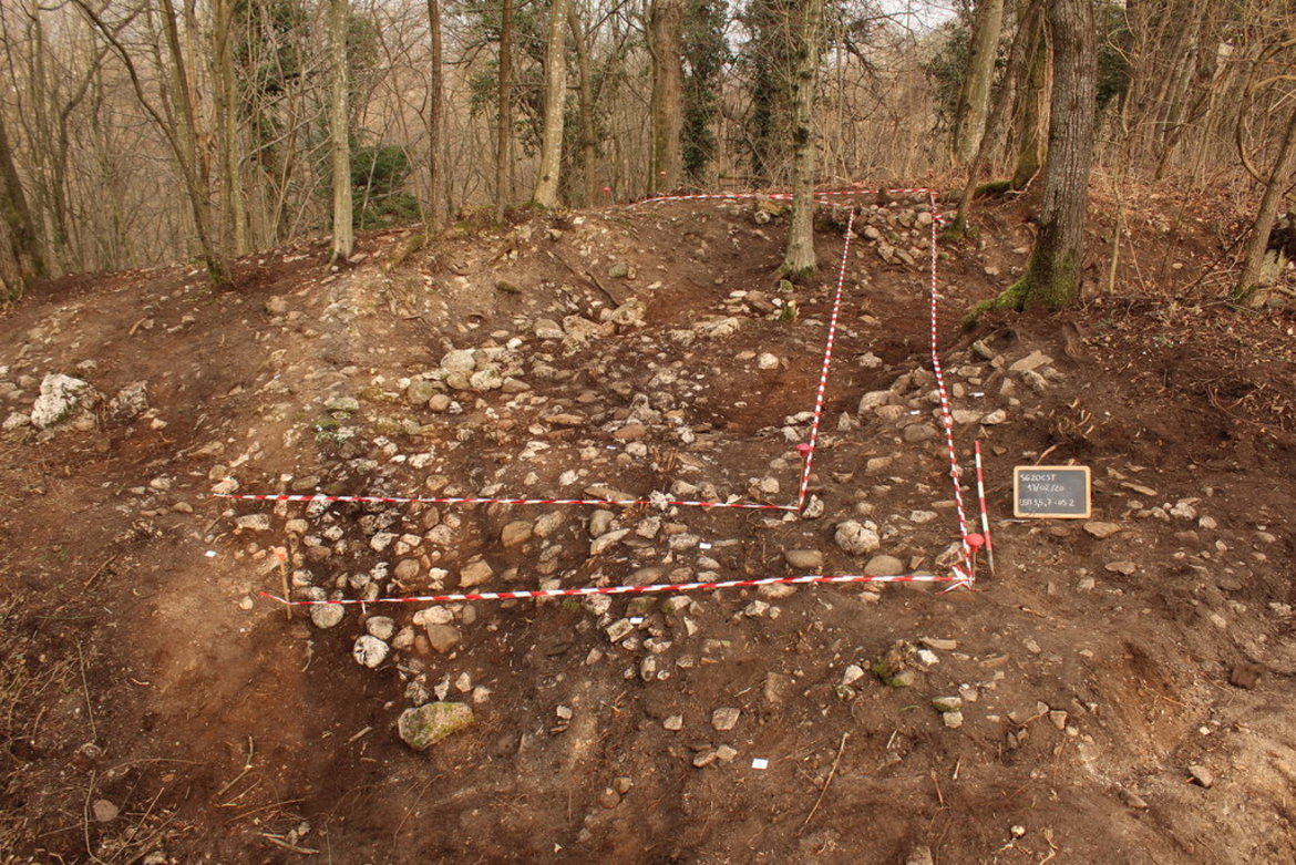
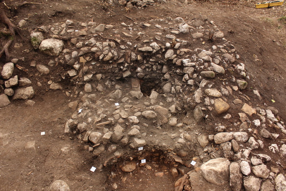
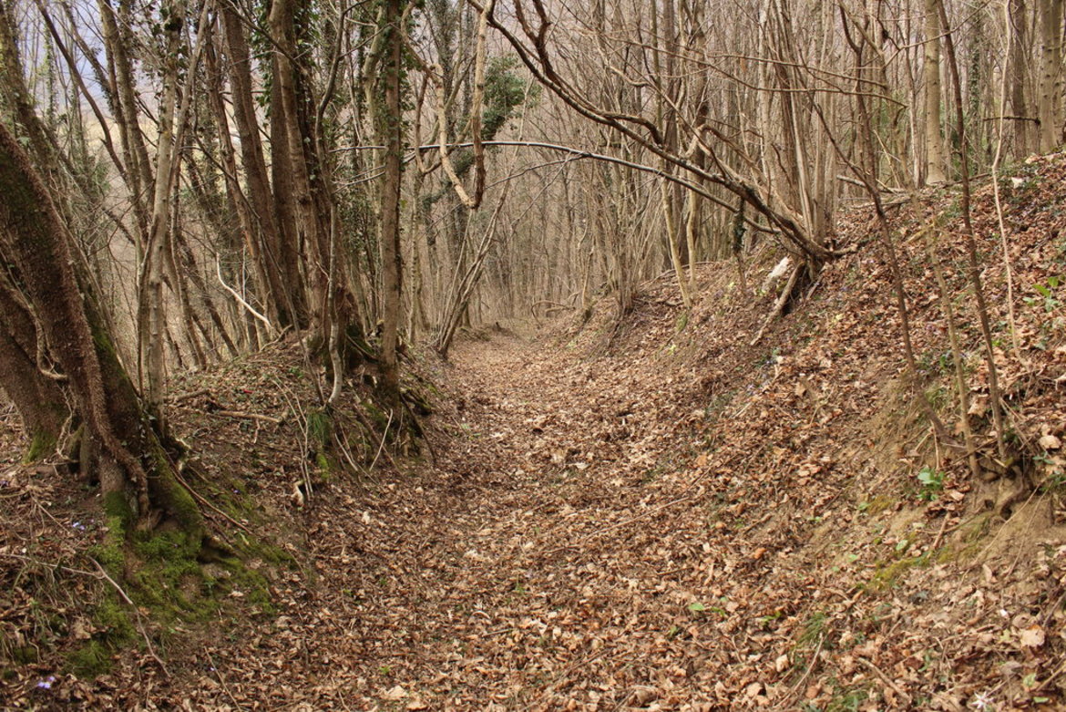
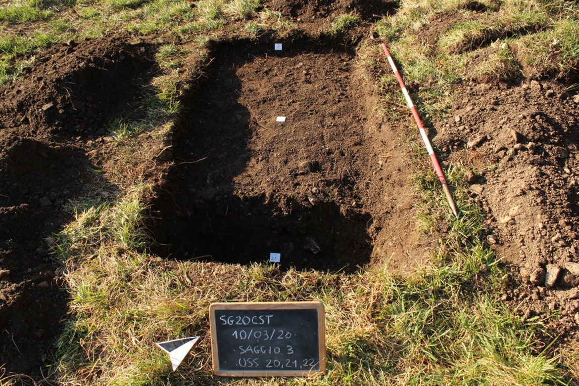
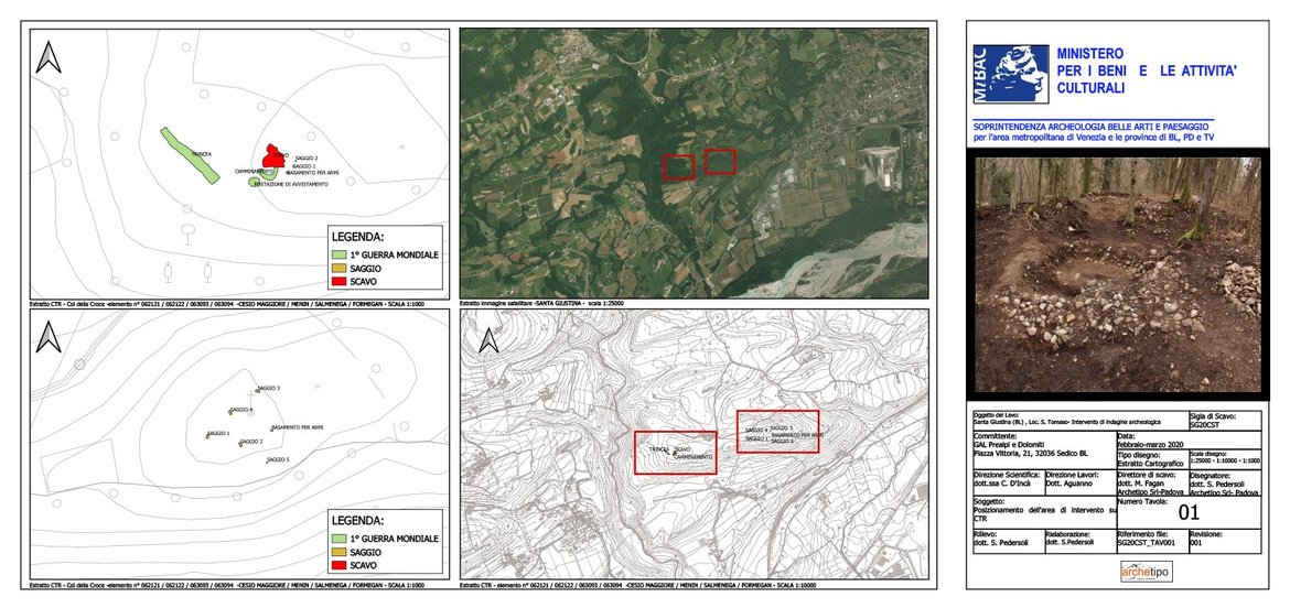
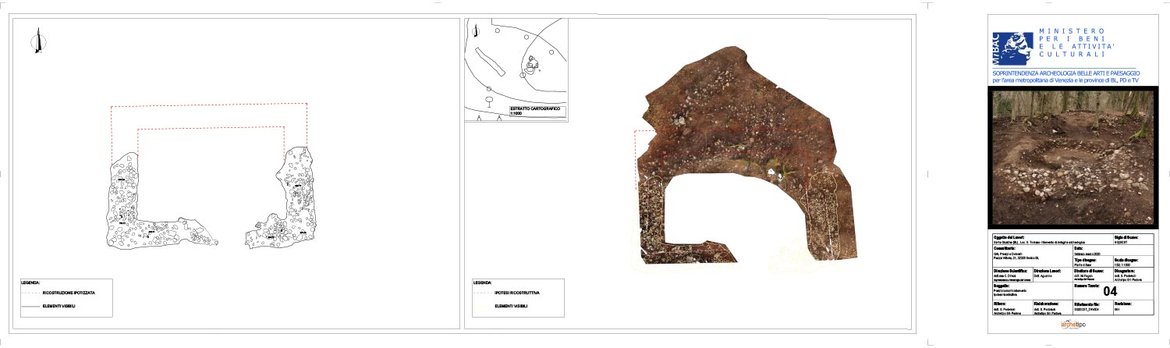
Archaeological survey
S. Tomaso Castle di Santa Giustina / Veneto
Col della Regina hill
(within the framework of the Interreg programme)


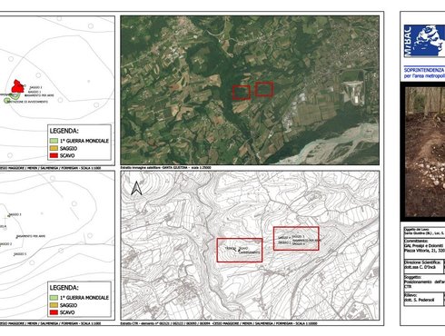
Results and conclusions (by Dr. Massmiliano Fagan):
As mentioned in the introduction, the aims of this intervention lay in the evaluation of the historical/archaeological potential of a place that had already been the subject of several bibliographic citations over the centuries. In this regard, a historical/archival research1 preliminary to the excavation had been entrusted by the Client, which, however, did not bring to light information and evidence that could guide the planning of the archaeological investigations. More interesting, however, is what emerges from the text "I Castelli Feltrini, "2 where a seventeenth-century poetic poem by Francesco Murano is mentioned that refers to the "tower of the Queen," and then, within the description of Bivai Castle, there is mention of excavations promoted by Count Avogadro at both the keep and the tower.
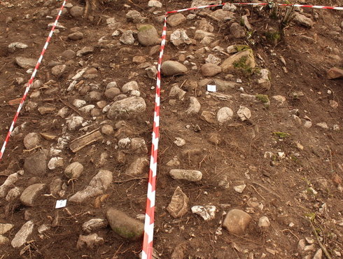
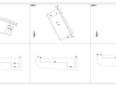
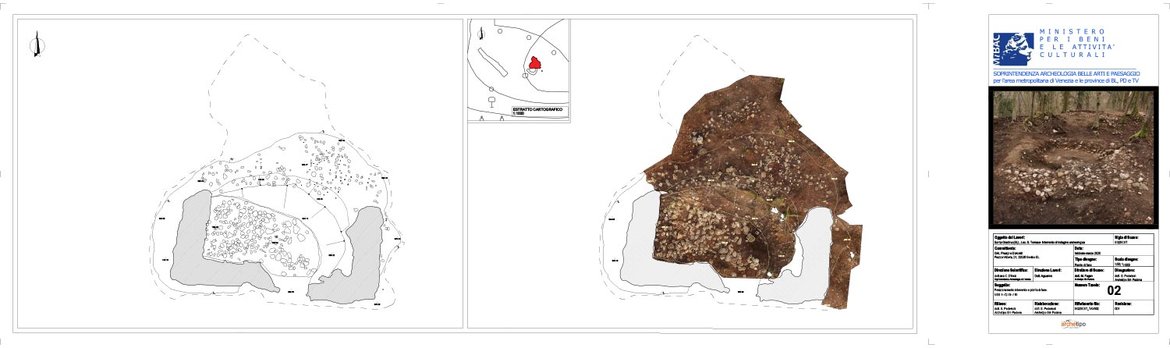
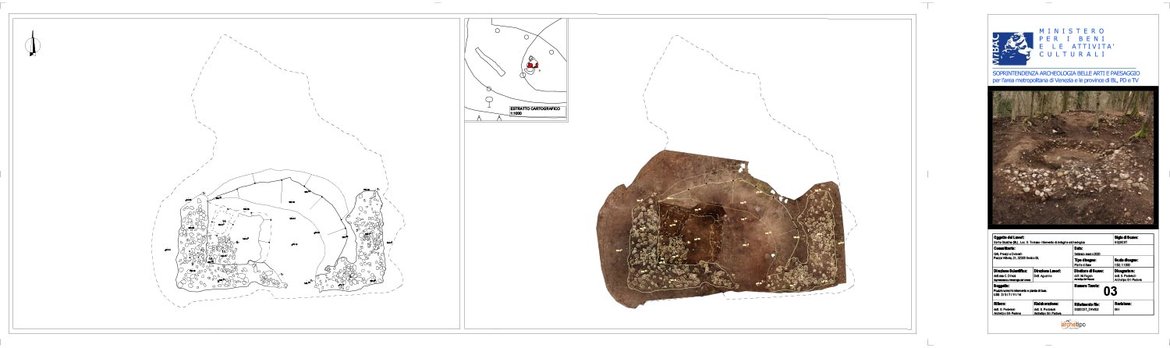
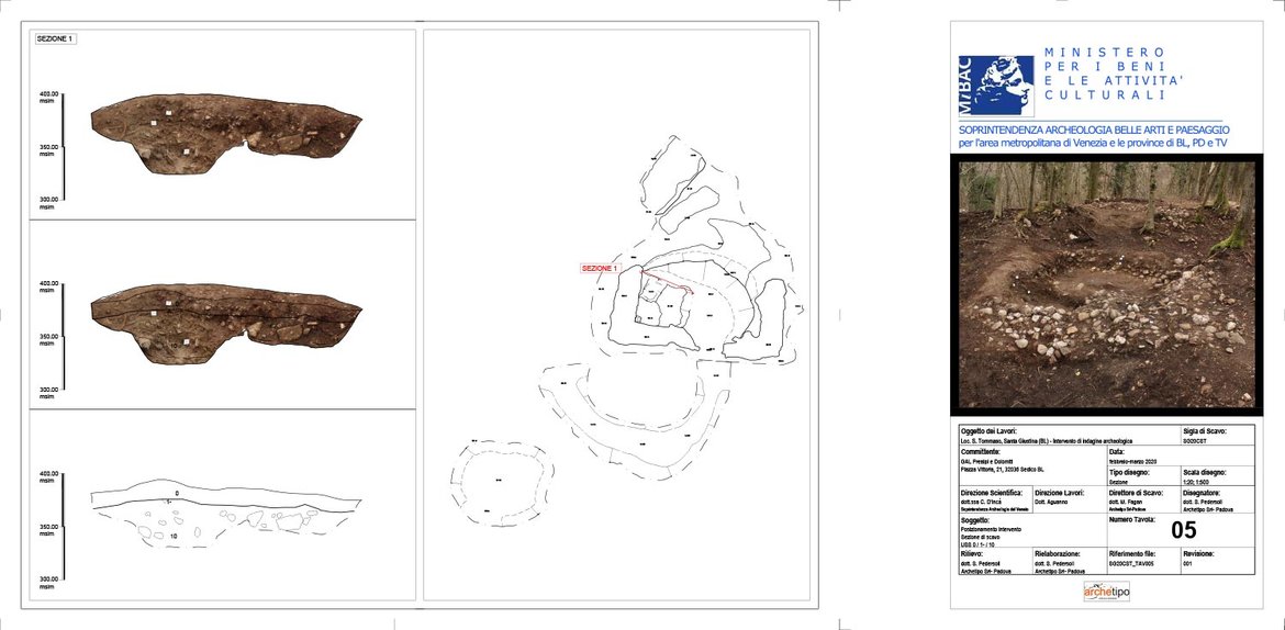
The archaeological excavation actually brought to light the remains of a heavily remodeled masonry structure, of which only the walls of the southern part are preserved, with a thickness of about 1 m and part of the internal floor crawl space.
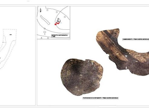
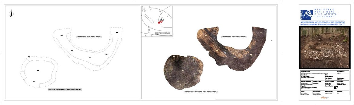
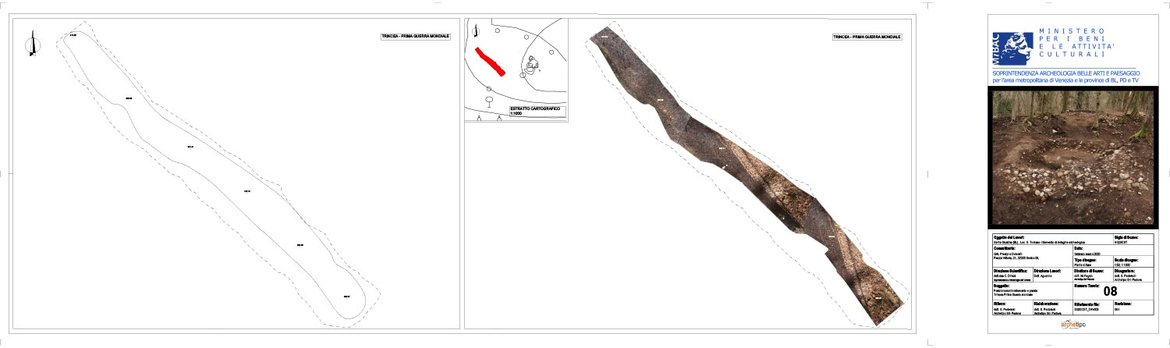
In documentation it was then assumed that it might have been rectangular in shape and measured about 8 X 6 m3. Unfortunately, the intense spoliation of materials over the centuries to the present day for the construction of houses and stables, coupled with a probable remodeling carried out at the time of World War I, does not allow for an unambiguous and certain interpretation of what was found, but rather leaves room for at least two different hypotheses between them.
The first, also starting from what emerged in "I castelli Feltrini," leads to attribute to the structure a defensive function or at least of sighting and control of the territory, given the repeated use of the term tower to indicate the settlement on Col della Regina. Supporting this hypothesis is first of all the topographical analysis of the defensive sites along the Piave and Cordevole rivers that can be deduced from the study made by De Vecchi, starting from the place names of the various places4. Indeed, it can be seen that the site of Col della Regina topographically would go to play a strategic role in controlling the right bank of the Piave, among 'other things right in front of the castle of Zumelle located on the opposite bank of the river (fig. 16).
Moreover, the very position of the building, on the top of a steeply sloping hill, seems to exclude a priori functions other than those of controlling the territory, especially since, as mentioned, the entire Piave valley is visible from the southern slope of the hill (fig. 17). From a typological point of view, it can be hypothesized, given the thickness of the walls, that the structure had foundations and a plinth in masonry elevation, while the rest of the elevation and perhaps even the roofing in wood.
Supporting this hypothesis is the total absence of roofing material found in the collapse and the presence on the residual surface of the beaten floor that covered the interior crawl space, of substantial traces of burning that might suggest a fire.
It is likely, however, that this building was used only as a guard post and was not habitually inhabited, as there is no evidence of occupation in this sense.
The second interpretative hypothesis does not contemplate the building as a control tower/place because the size and structural poverty of the walls, among other things, at least in the preserved parts, devoid of mortar, do not find comparisons with similar known structures in the Belluno area. In this sense, even the traces of burning found on the beaten floor could be interpreted simply as the outcome of fire ignition (hearth ?).
In this view, the building could therefore be interpreted as a kind of "casera," a support structure linked to productive activities active in this area. What clashes with this interpretation, however, remains the place where the structure in question stands, that is, on the top of a hill whose ascent is still very difficult given the slope and must have been even more so for those who had to climb it with tools or weights of any kind, perhaps several times a day.
On the other hand, as far as the dating of the structure is concerned, the only dating material found during the excavation is a fragment of combed pottery that can be generically dated to the late ancient-early medieval period. This dating would support the hypothesis of a structure with defensive/control functions related to Bivai Castle, which probably arose in the same period and fell into disuse in the 15th century5. Useful for the chronology of the site could be the coal recovered on the surface preserved on the crawl space inside the building (US 11). It has been appropriately found and is awaiting laboratory analysis, although it should be kept in mind that the results will have to be evaluated with caution since the coals came from the interface between the floor surface and the spoliation fill and not from the body of the layer6.
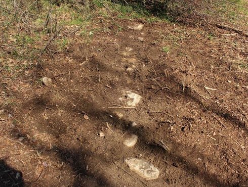
Regarding the exploratory survey on Col della Croce, this, as mentioned, was aimed at understanding the archaeological potential of this area where in the past survey activities had led to the surface discovery of a pottery fragment and some metal elements.
Therefore, the previously described surveys were carried out, which, however, did not reveal anthropogenic stratigraphy. However, given that the area of the Col della Croce plateau is very large, the results of the above surveys should not be preclusive to future more systematic and planned investigations perhaps based on preliminary georadar or thermographic surveys.
In addition to the materials found thanks to the survey, in fact, south of the cross, an alignment of stone material was uncovered that was only identified but not documented on the instructions of the Superintendency and that could be evidence of the occupation of the hill (fig. 18). In addition, a brief reconnaissance along the south slope, halfway up the hillside, led to the discovery of residual stone blocks still bound, however, by non-modern lime mortar, probably slipped from the hill plateau.

The whole research report
in Italian, with clear pictures (by Dr. Massmiliano Fagan)


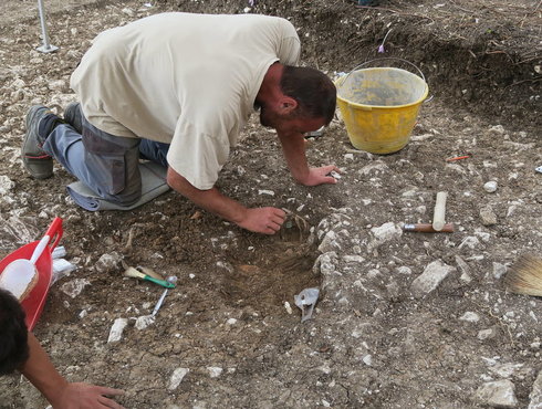
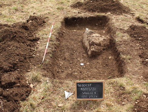
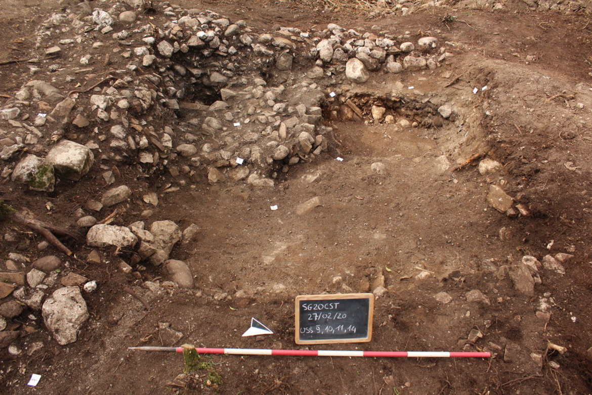
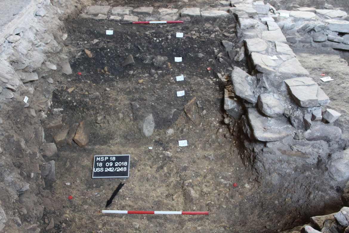
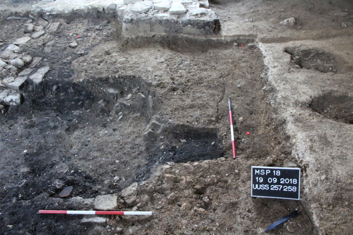
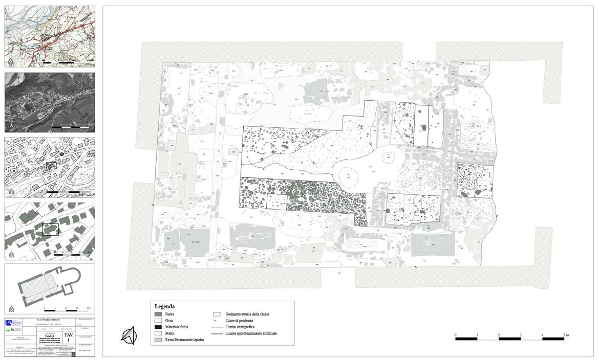
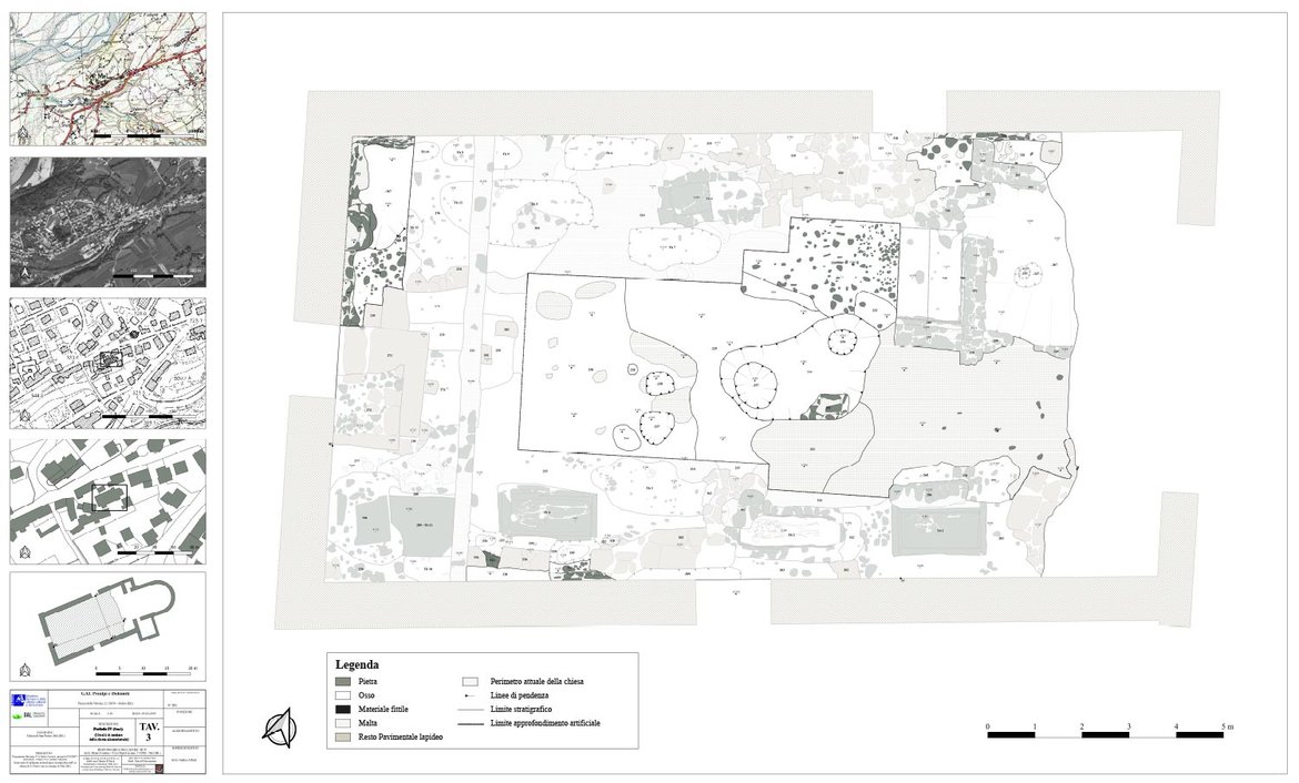
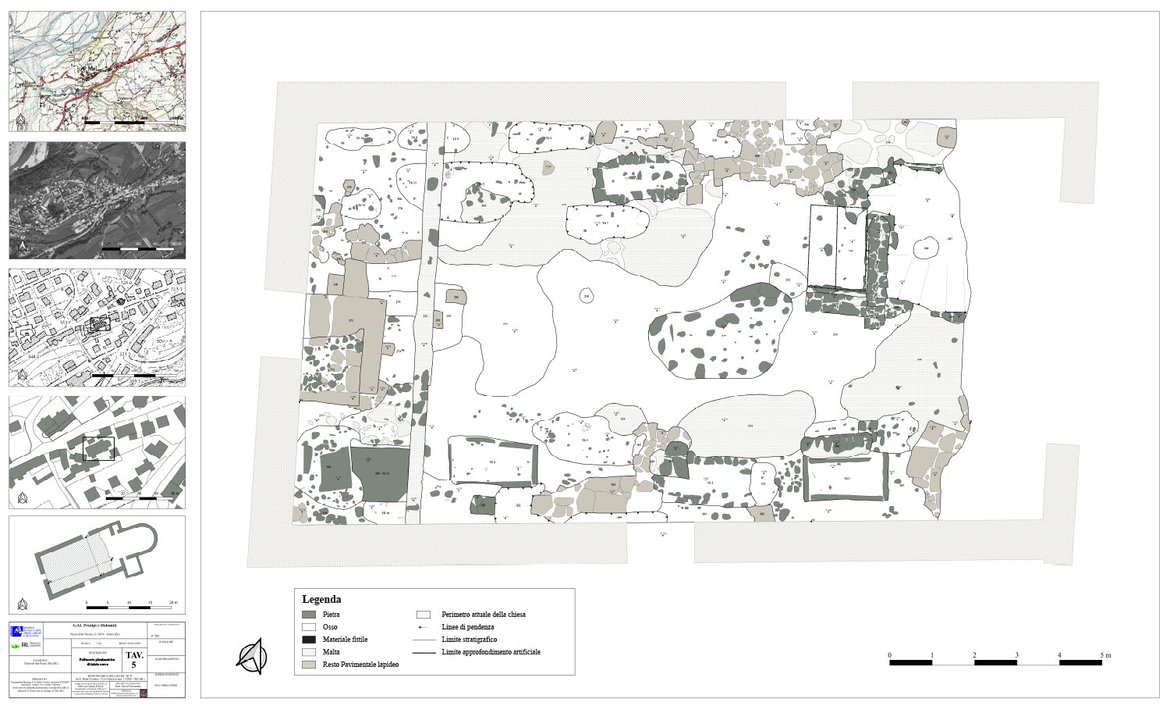
Archaeological layer excavation
in the former church of St. Peter
in Mel / Valbellluna / Veneto
(within the framework of the Interreg program)


Results and conclusions (by Dr. David Vicenzutto):
Investigations at the former St. Peter's Church have allowed reconstructing a historical landscape at least 2,500 years wide, preserved in a few tens of centimeters. During the Iron Age, the area corresponds to a periphery of a residential nucleus, as suggested by the ceramic drains found at the top of the small relief. This evidence is entirely compatible with what is known of Mel's protohistory; in fact, a few hundred meters east of the former church of S. Pietro is documented an important burial mound necropolis from the 8th-5th centuries B.C. - known since the 1960s - to which a habitation was necessarily connected. The existence of a late Roman building, at least 80 m² wide, confirms how the Roman settlement of Mel also touched Borgo Garibaldi; unfortunately, data are lacking to understand what the building's function was. Only future investigations, should the building retain living plans under the present apse and/or beyond the northern limits of the church, may shed new light on the role of the Late Roman structure. The dating of the earliest planting of the church remains very uncertain, whether it already reached the width of the present building or perhaps exceeded it to the west. Should the earliest phase of the church turn out to be of the early medieval period, as some authors propose on the basis of radiometric dating carried out on burials outside the building, Mel's role within its home diocese should be reconsidered. Plans are already underway to send some samples of organic material, from the building site phases of the church, to radiometrically date the time of the founding of the house of worship; the outcome of these analyses may bring further information about the antiquity of the building.
The whole research report
in Italian, with clear pictures (by Dott. David Vicenzutto)


