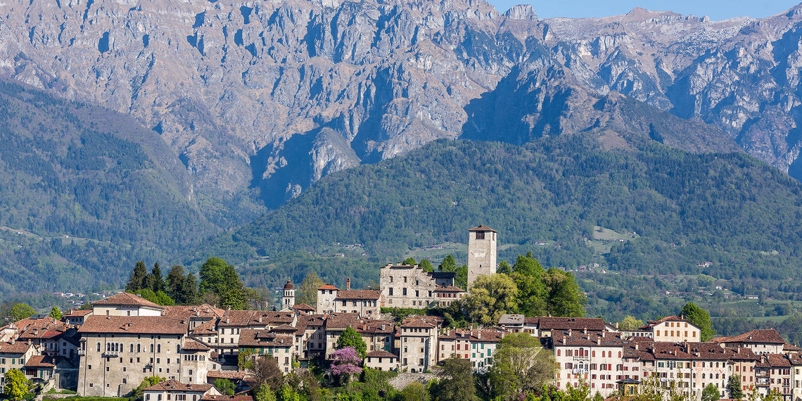
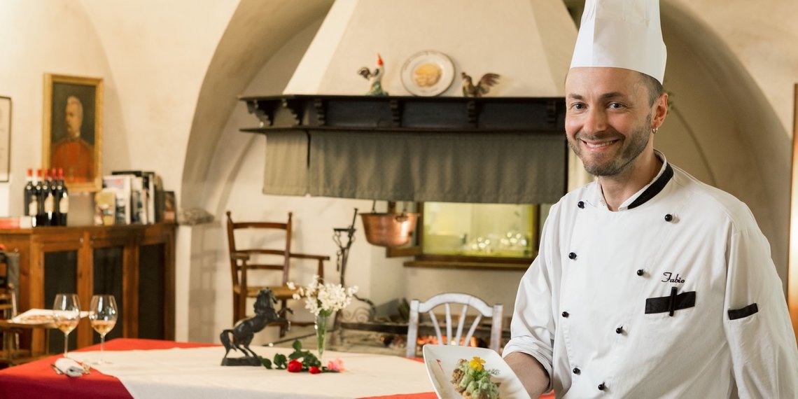
At the southern gateway to the Dolomites World Heritage Site and the Dolomiti Bellunesi National Park, where the Via Claudia Augusta leads from the gentle rolling foothills of the Alps via the Valbelluna past the Grappa massif to the southern Alps with its proud Dolomite peaks, lies the region of "Dolomiti Prealpi". It is one of the most unspoilt areas along the southern Via Claudia Augusta, where it is possible to spend your holidays relating to the local population, participating in their life and traditional and daily activities. The region has a history of thousands of years, a lot of culture, tradition and a rich cuisine, which like the people are influenced by the mountains but also by Venice.

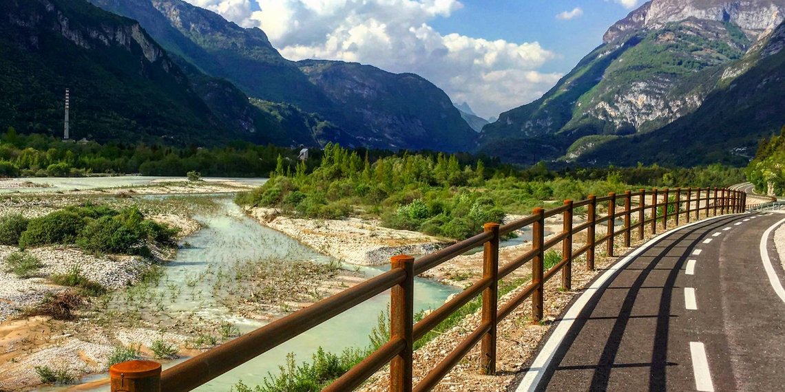
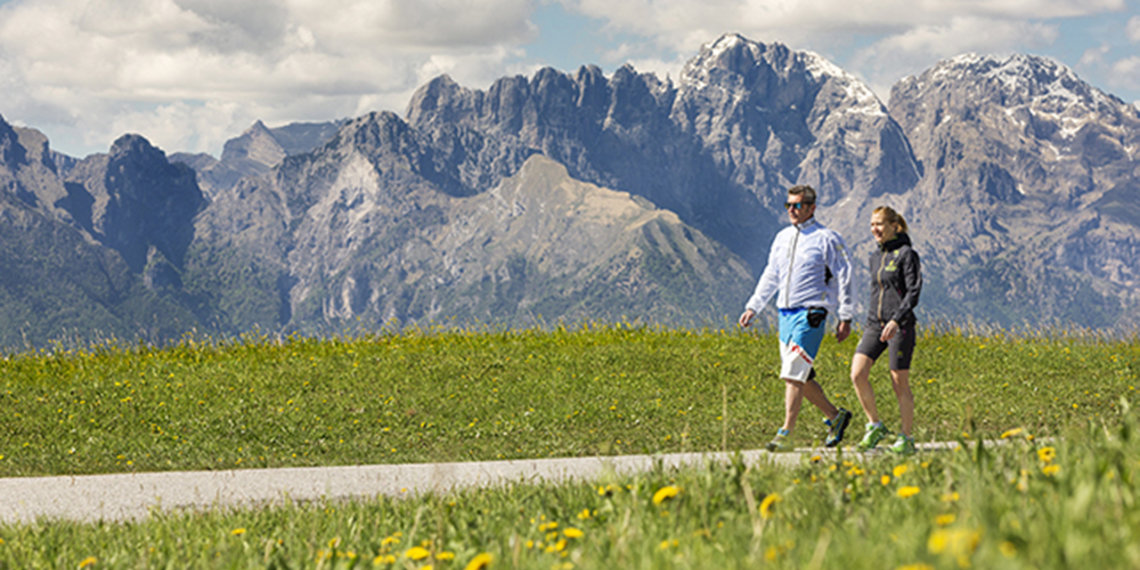


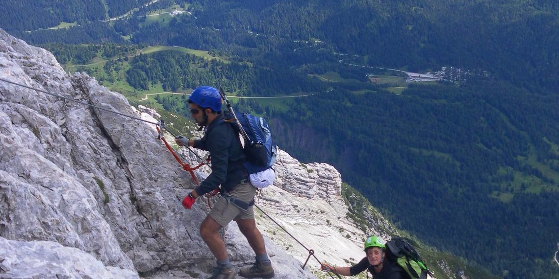


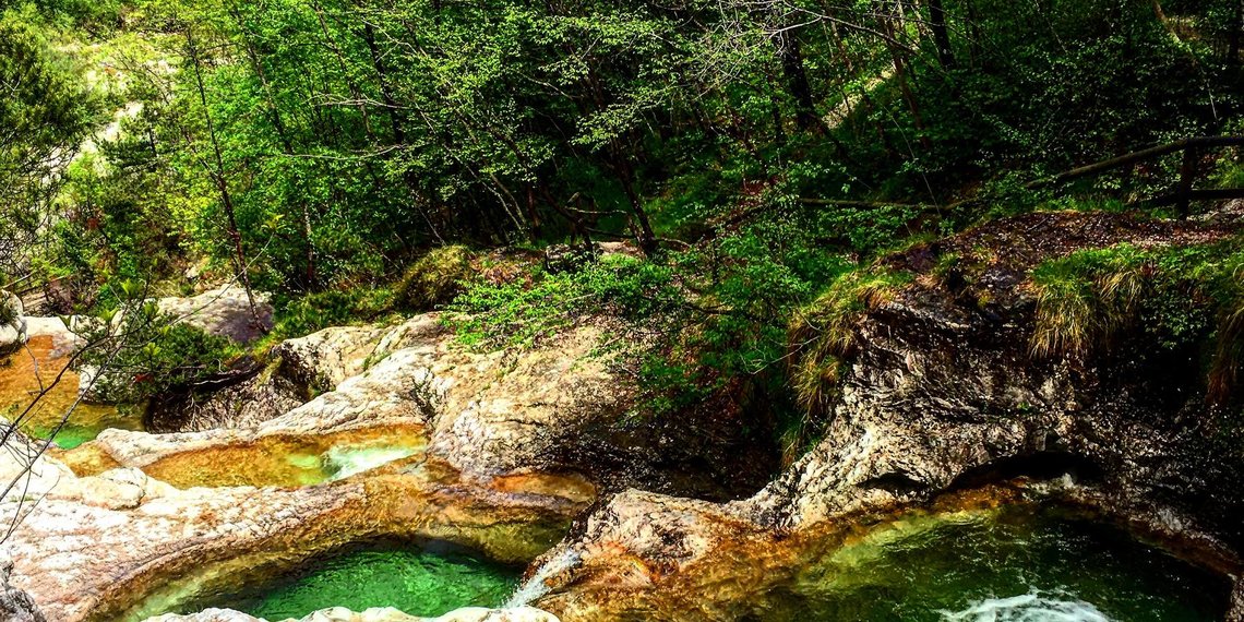


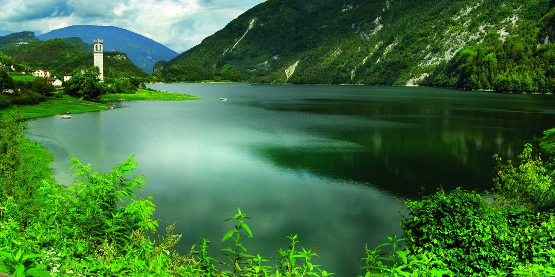

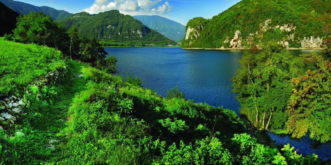
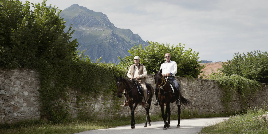
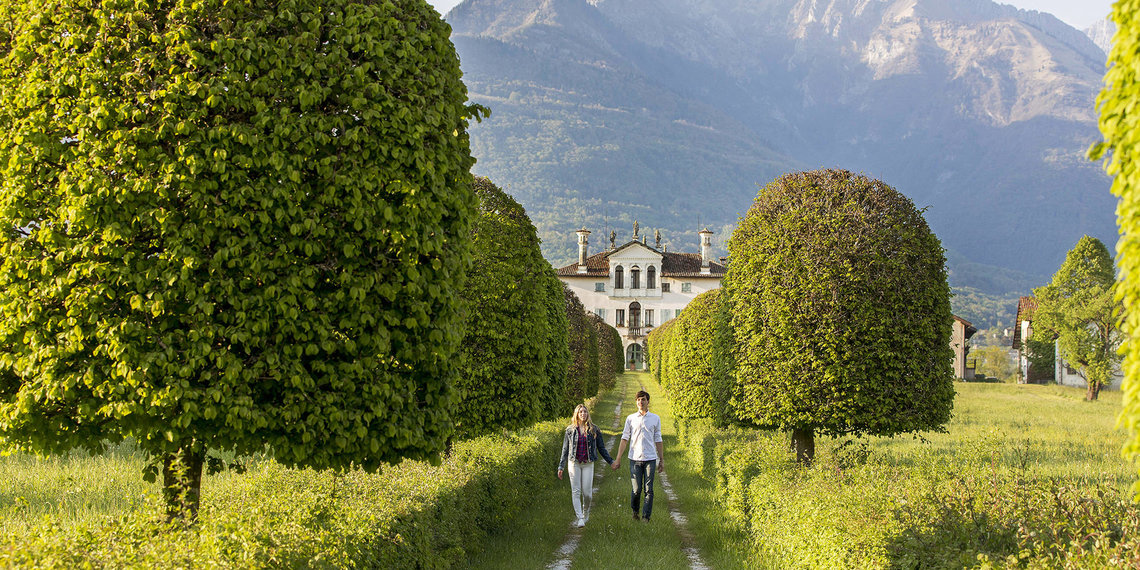

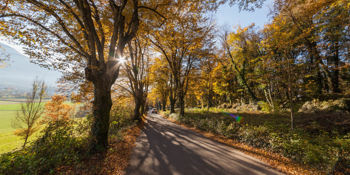


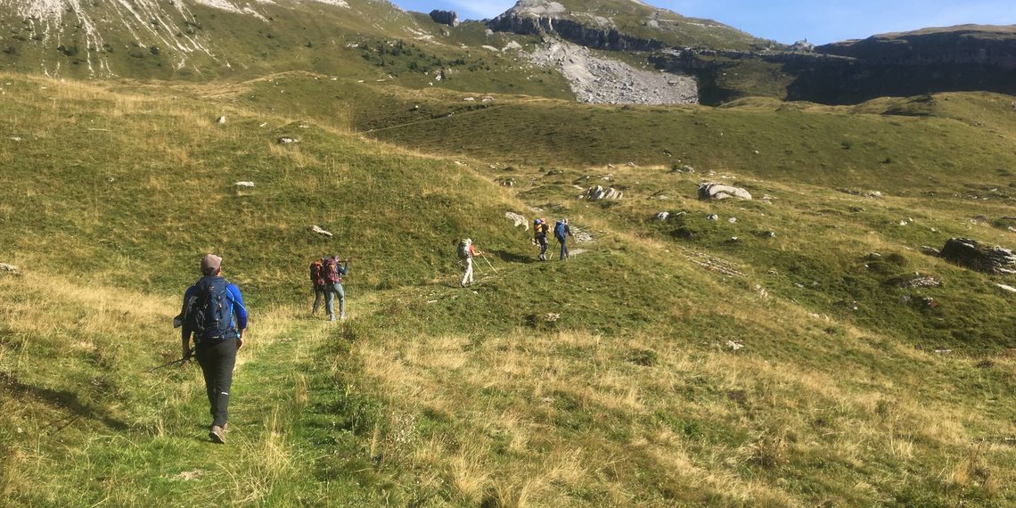


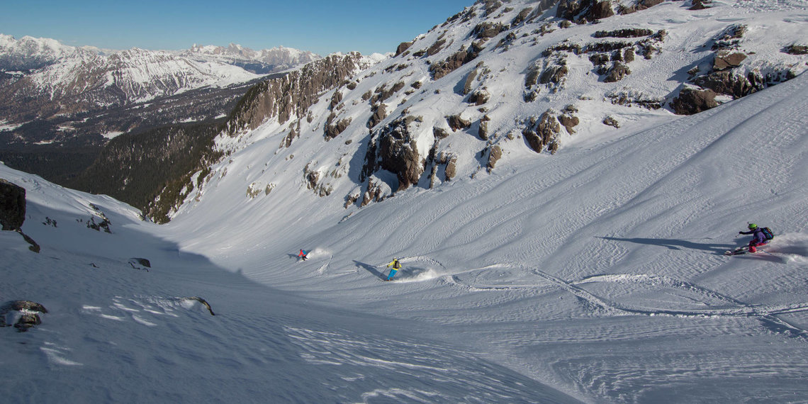

Even in the winter time the varied landscape of the Dolomiti Prealpi region is full of charms. With or without snow, the area offers many opportunities to breathe fresh air and to gather impressions and pictures of the charming landscape, which in winter is again completely different from the warm season - the picturesque Valbelluna valley, the vast riverbed of the Piave, Lake Corlo in Arsie, the gentle foothills of the Alps and the proud mountains of the Grappa massif and last but not least the Dolomiti Bellunesi National Park. If this varied landscape is completely or partially covered in white, you will get completely new impressions. The region offers guided snowshoe hikes that open up areas and impressions that would otherwise be difficult to achieve. The well-known ski areas of the Dolomites are in the immediate vicinity and allow you to combine holidays in a beautiful natural and cultural region with days of skiing. Living with the local people, experiencing their traditions and enjoying with them all the specialities that the area has to offer makes a holiday stay special and unforgettable. The historical town of Feltre is also an attractive little shopping town, which is especially dressed up for its customers during the Christmas season. Depending on the amount of snow, you can also go skiing, ski mountaineering on the Monte Avena or go cross-country skiing in Pra`del Moro (Feltre).


Text of the historic maps of ...
Before Christ
"Rhaetian populated"
Early on, the Valbelluna was a transit area and populated. The Etruscans, Venetians, Rhaetians and Celts were already in regular exchange. The presumably fortified settlement of Felthuri, today‘s Feltre, developed along their paths. Hills like the one on which the old town of Feltres is situated were the preferred settlement sites of this time. Other settlements are assumed to have been on the hill above Lamon, in Cesiomaggiore, in Santa Giustina and in Mel. By the way, they were not inhabited by the Venetians, but by the Rhaetians.
350 A.D.
"Municipium"
Several Roman roads led through the Valbelluna. Therefore it is not sure which of them was the Via Claudia Augusta, which gives us 2 mile stones. One of them was found in Cesiomaggiore and can be admired today in an outbuilding of the Villa delle Centenere in Cesiomaggiore. The important roads brought work and some settlements and estates sprang up to supply the settlements with food. Feltre was even a municipium, where alone 100 nobles lived.
1450
"Part of the Serenissima"
Under the Republic of Venice the Valbelluna experienced a period of prosperity. The sea power needed a lot of wood, which was transported southwards over the Piave river. The Feltre of today is the one that was splendidly rebuilt after its destruction in 1509 in the course of conflicts with Emperor Maximilian I. With Mel, the area counted another walled city. The streets, which continued to be important, also contributed to its prosperity. Almost all places of today existed already at that time. However, there were only two fords to cross the Piave river, between Busche and Cesana, where there is a bridge today, and between Santa Giustina and Mel.
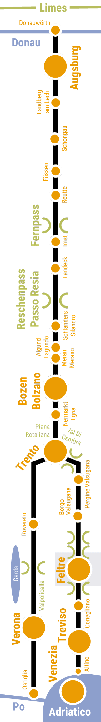
This map shows the historical course of the Via Claudia Augusta in Roman times.
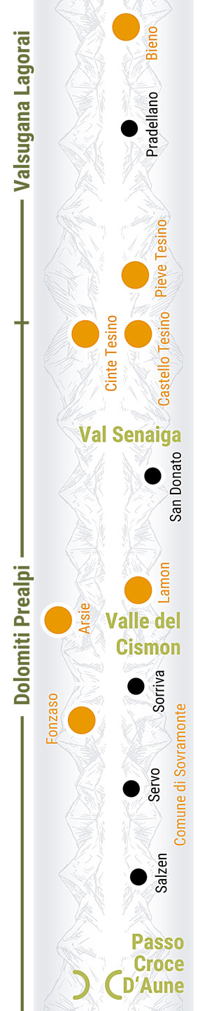
In this map you can see what there is to discover in the region.
In this map we show you how to cycle the Via Claudia Augusta from the north and from the south of the region.
In this map we show you how to hike the Via Claudia Augusta from north and from south of the region.
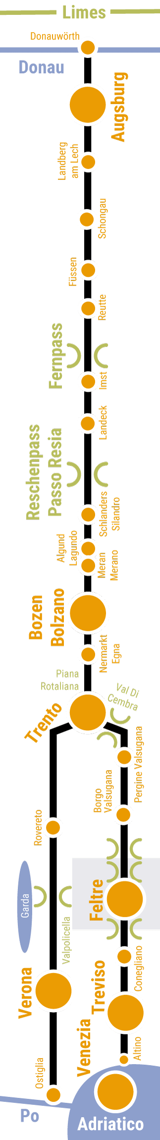
In this map we show you how to reach the Via Claudia Augusta from the region to the north and south by car, camper, bus, ...
For information on holidays in the region, please contact
Tourist info of the
Consorzio Turistico Dolomiti Prealpi
Piazza Vittorio Emanuele II, 32032 Feltre
info@dolomitiprealpi.it
0039 329 27 29 005
An overview of the regions along the Via Claudia Augusta can be found in
ViaClaudiaAugustaInfo
info@viaclaudia.org
0043 664 27 63 555
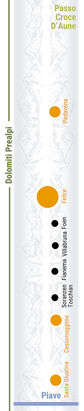
In this map, we show you the hosts of the region and the camping possibilities along the Via Claudia Augusta.