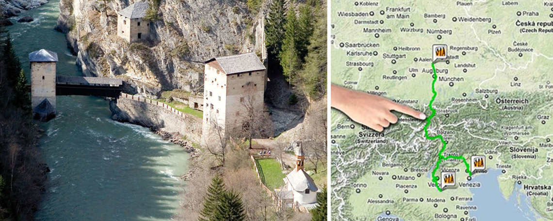
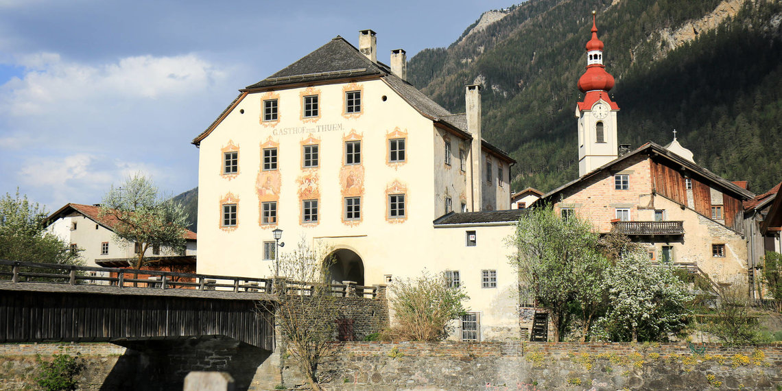
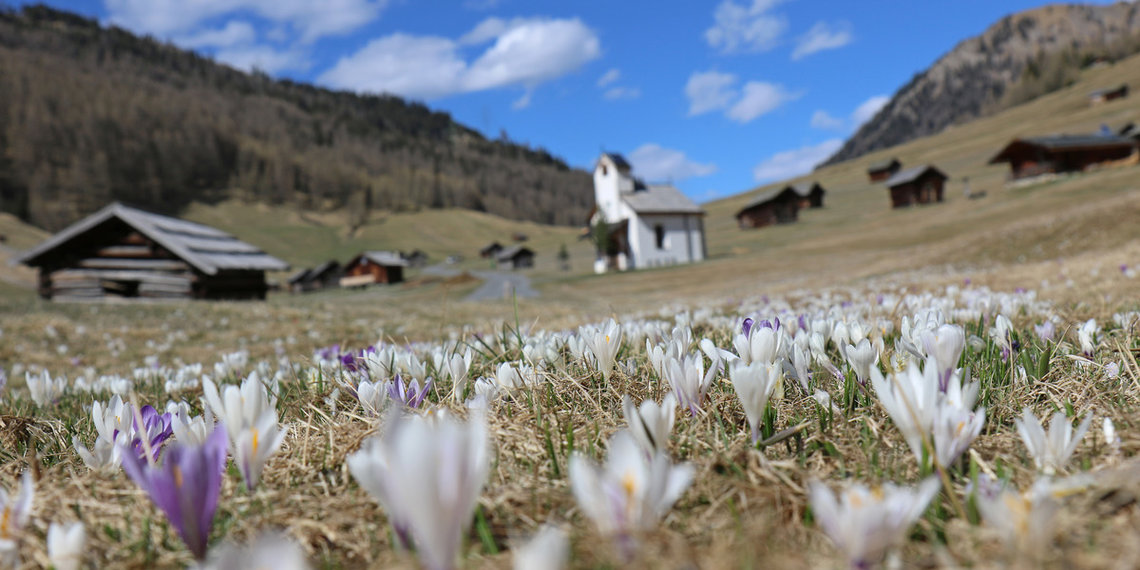
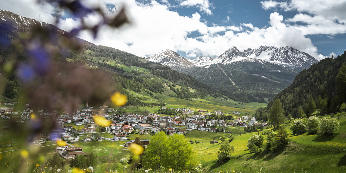
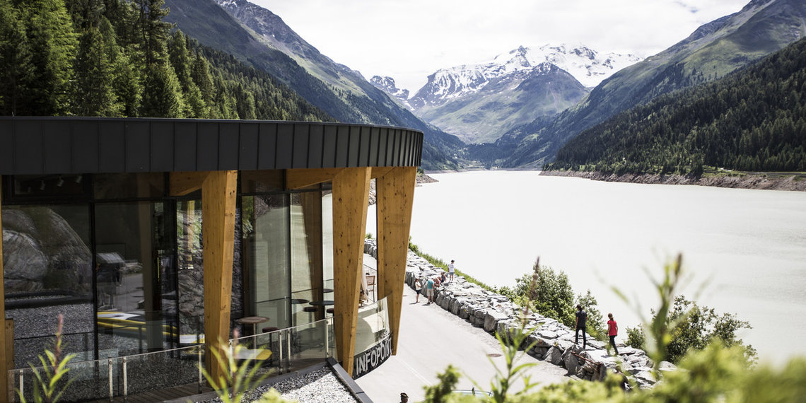
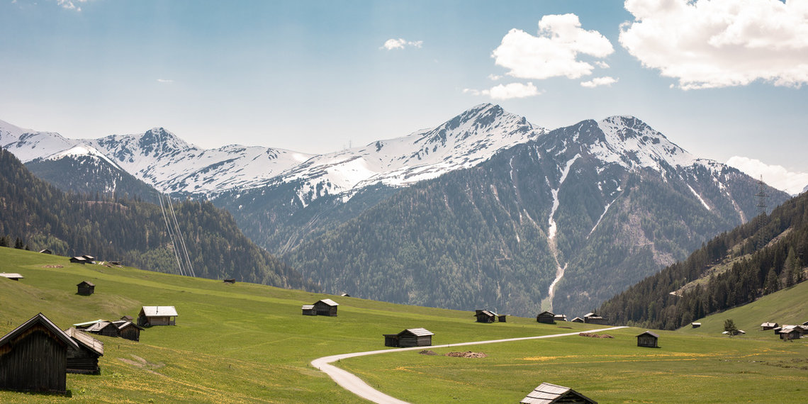
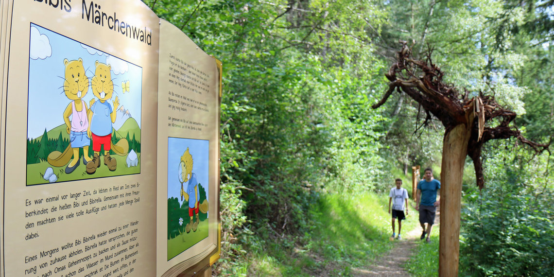
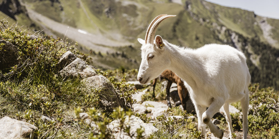
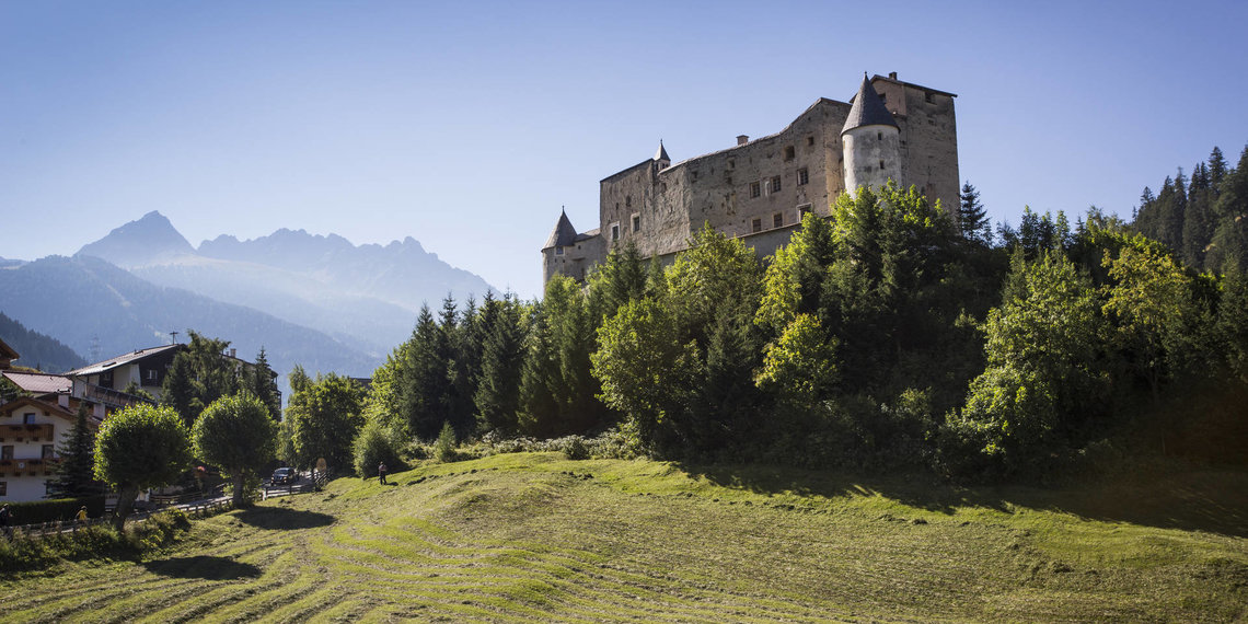
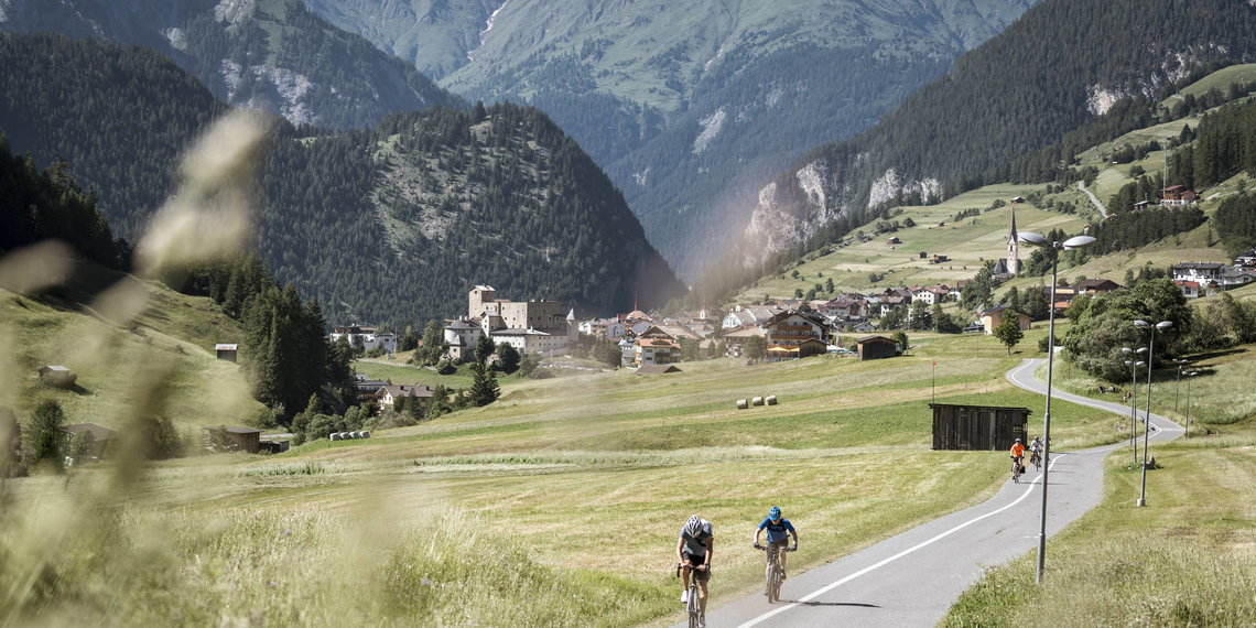
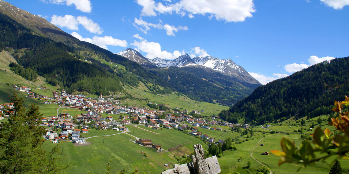
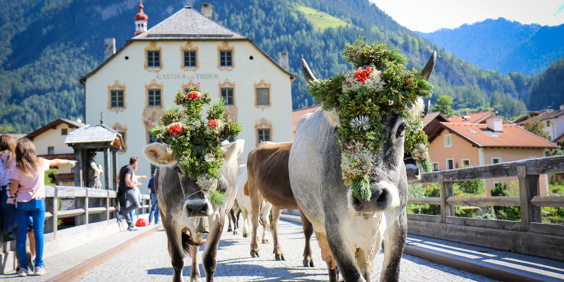
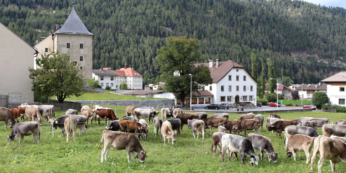
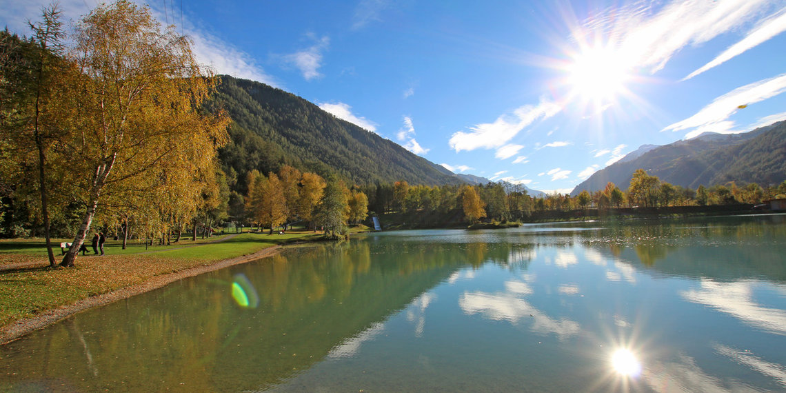
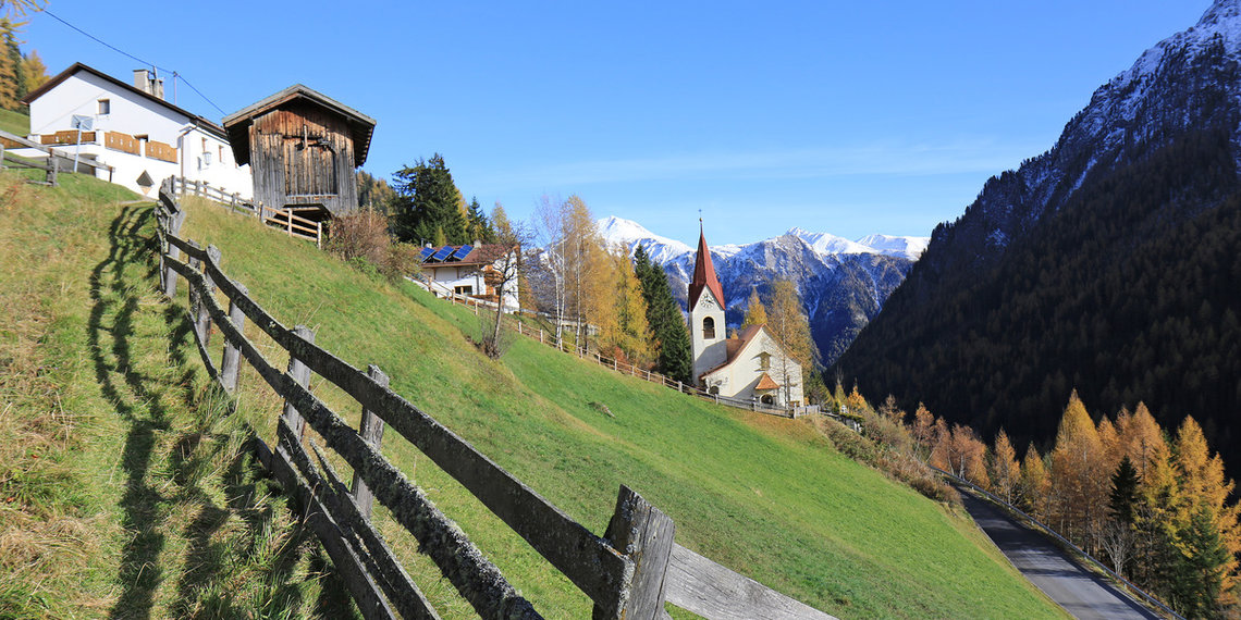
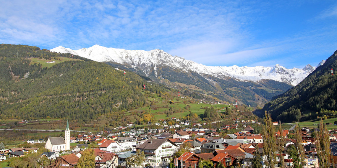
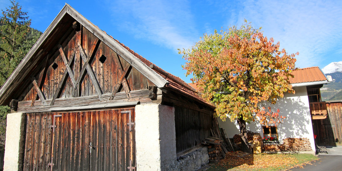
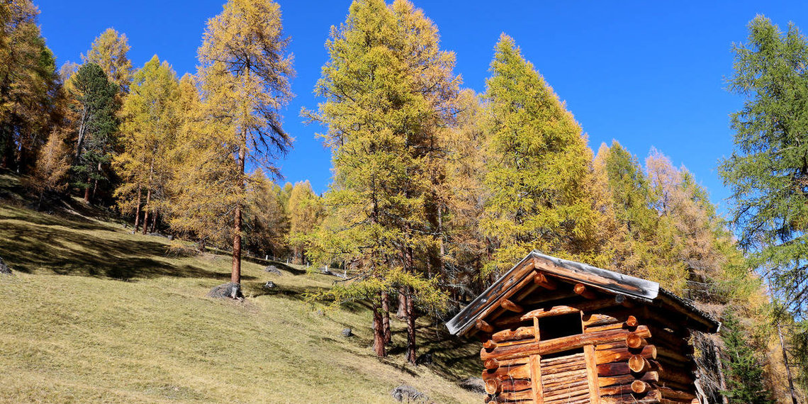
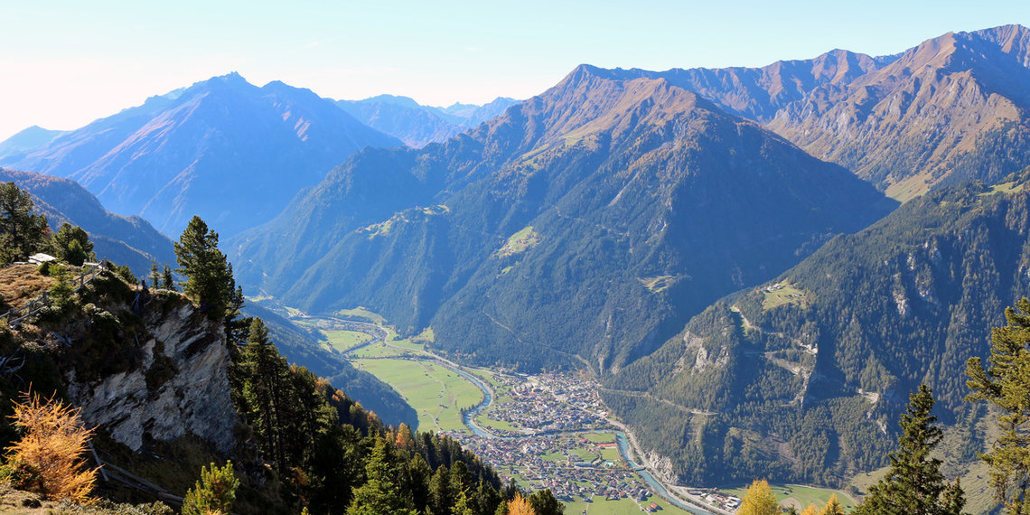
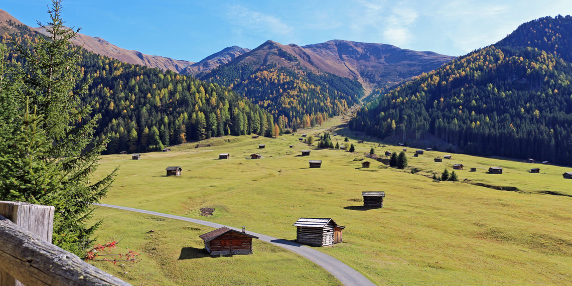
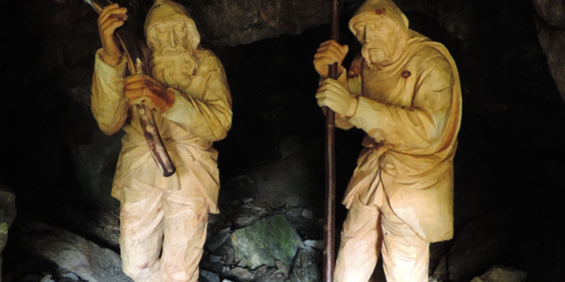
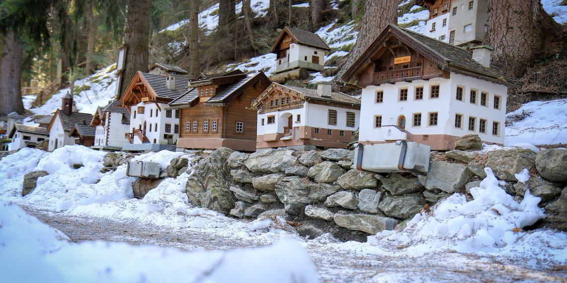
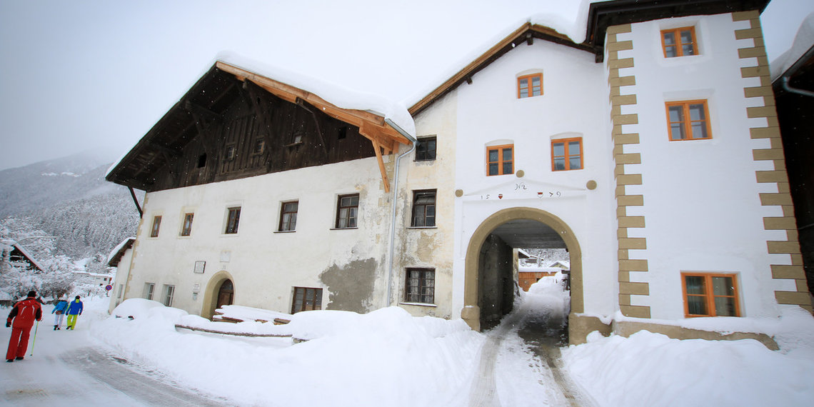
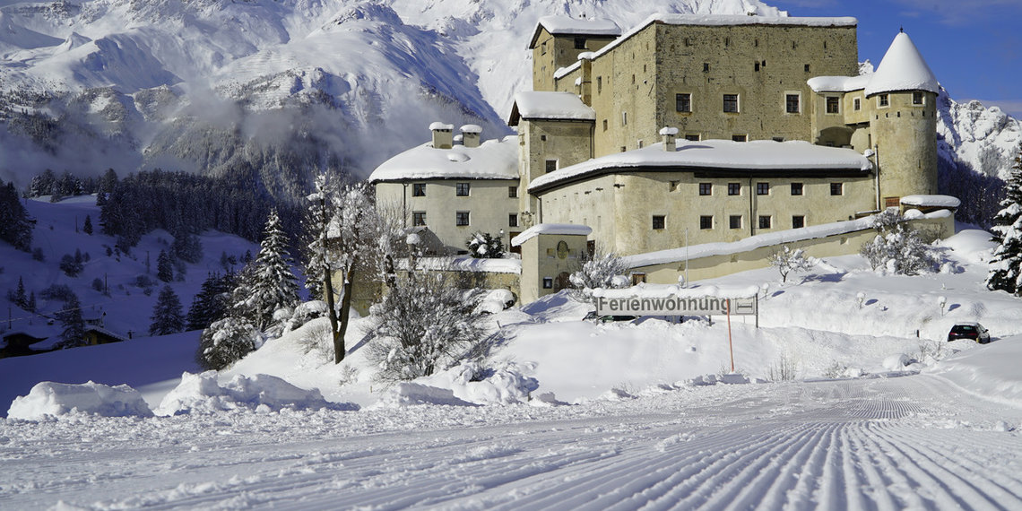
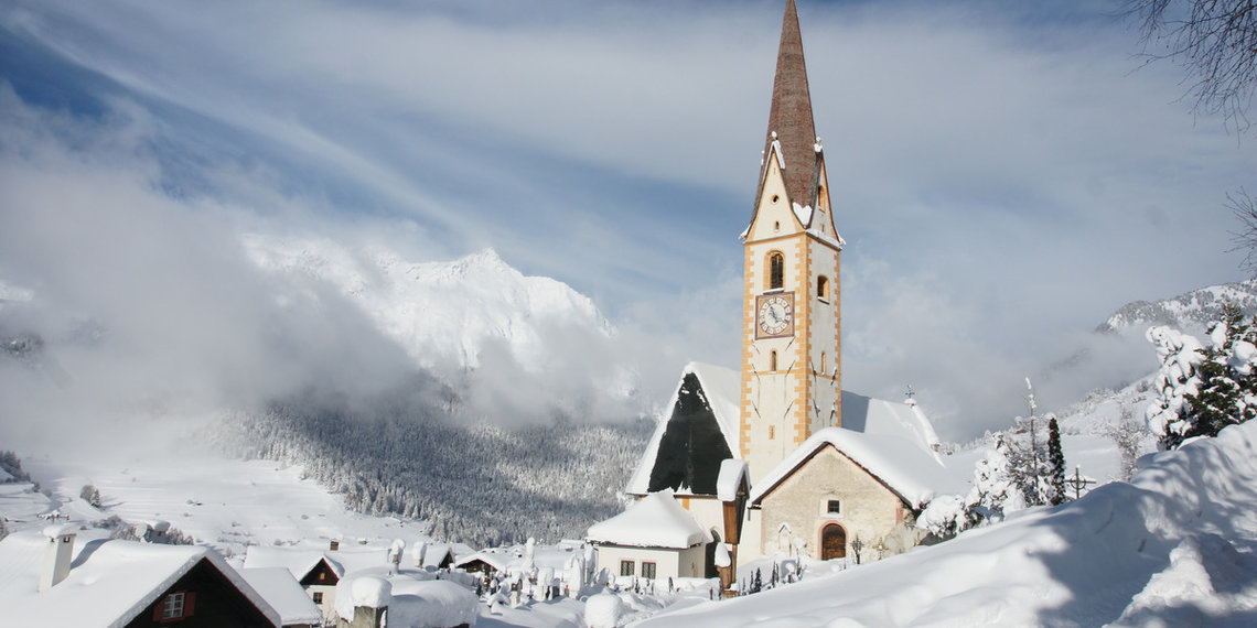
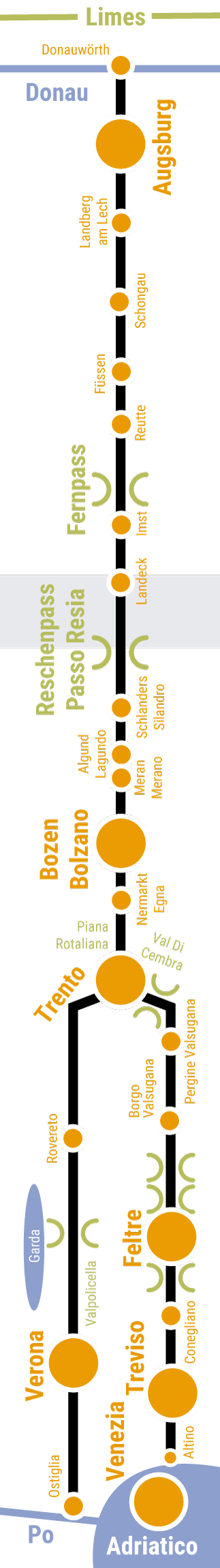
Where the Via Claudia Augusta climbs from the north to its peak, at the three-country corner of Switzerland-Italy-Austria, there lie the Tyrolean Oberland, Nauders at the Reschen Pass and the Kaunertal. The Upper Inn Valley and the Kaunertal Valley captivate with their originality. Nauders is a tourist stronghold. In between lies the customs station Altinfstermünz, founded in the Middle Ages. The villages along the Via Claudia Augusta are strung together like pearls. The many Rhaeto-Romanic houses give them a special flair.
Prutz, Faggen, Feichten, Kauns, Kaunerberg, Fendels, Ried im Oberinntal, Tösens, Pfunds, Spiss, Nauders am Reschenpass
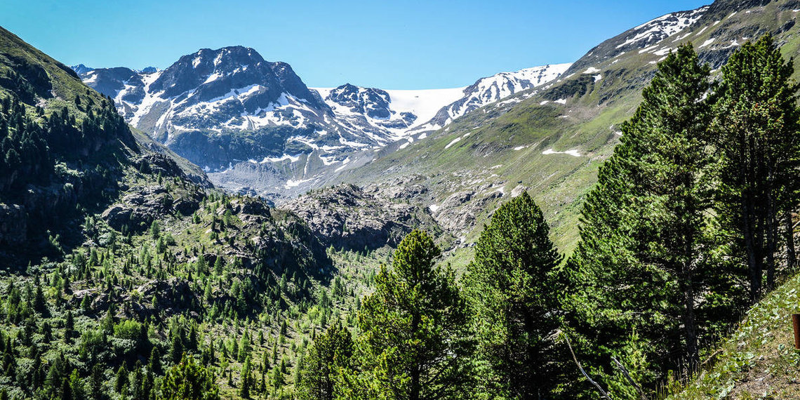
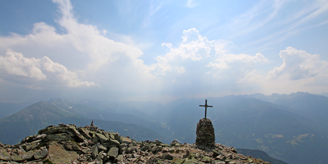
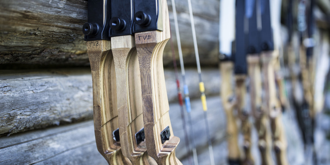
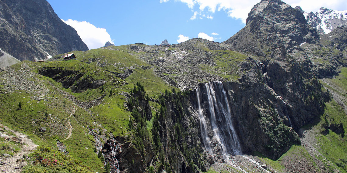
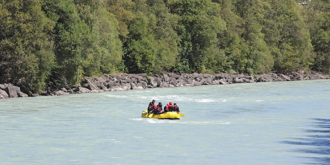
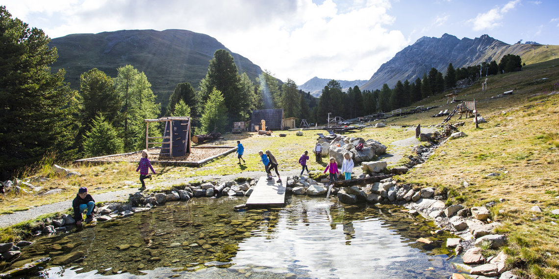
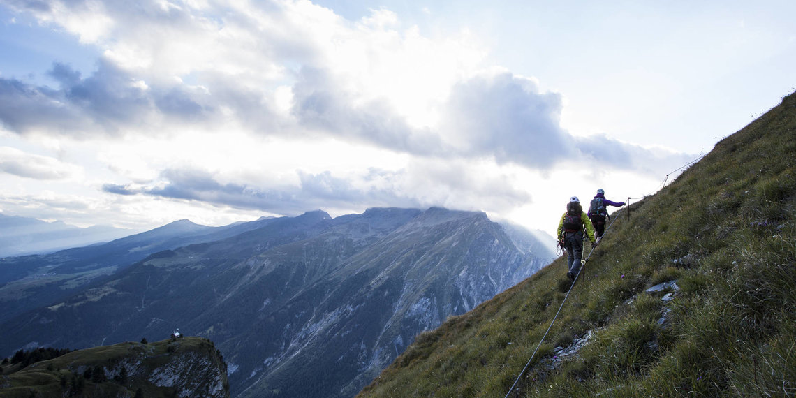
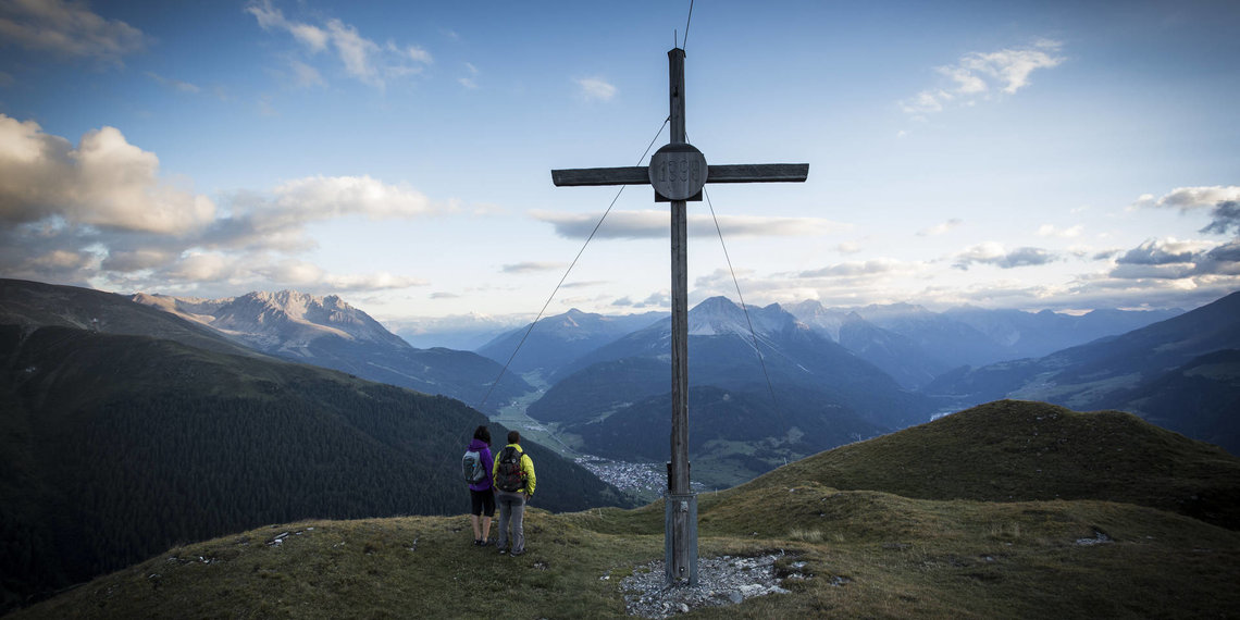
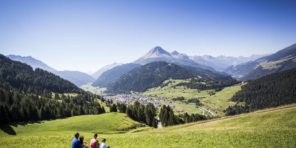
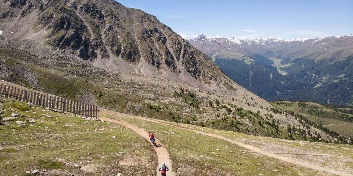

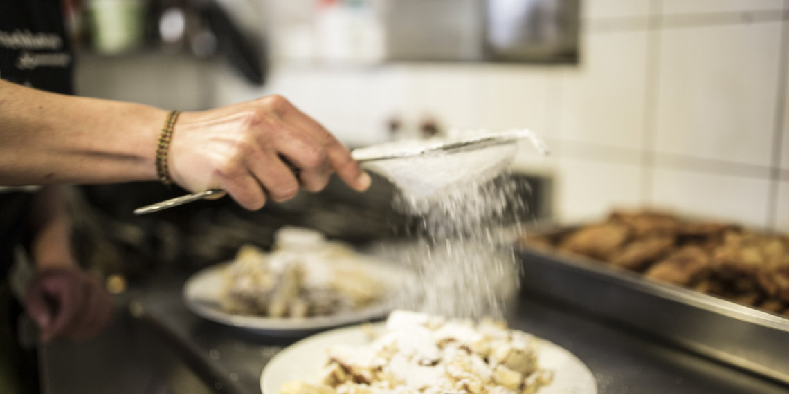

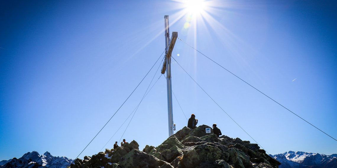
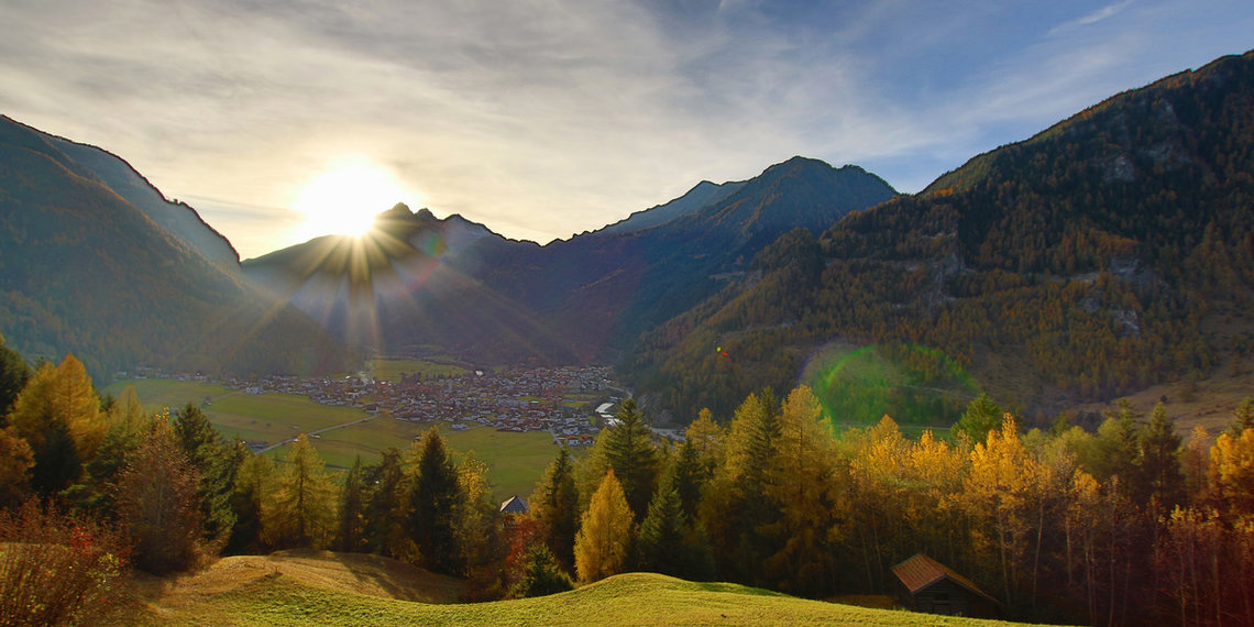
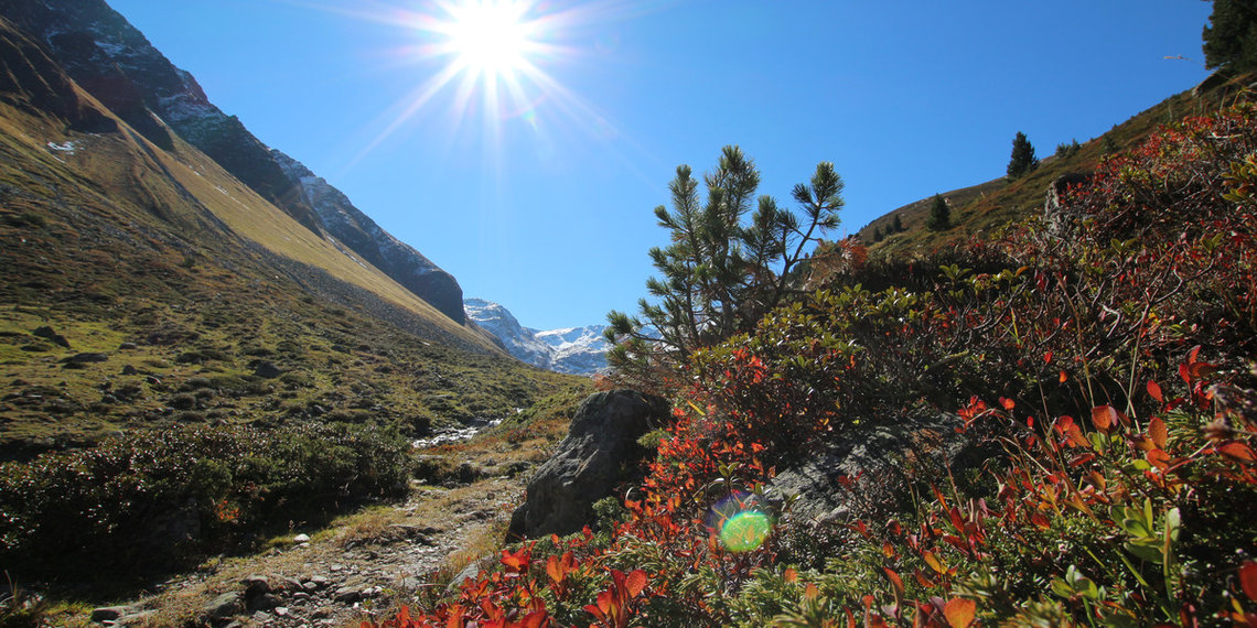
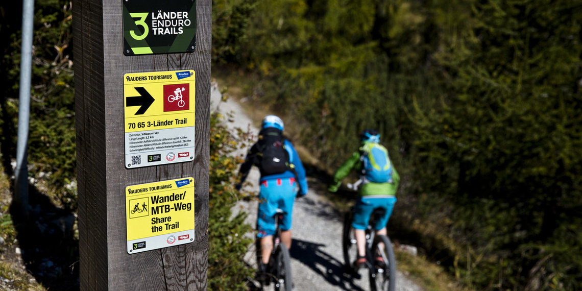
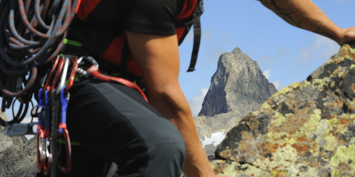
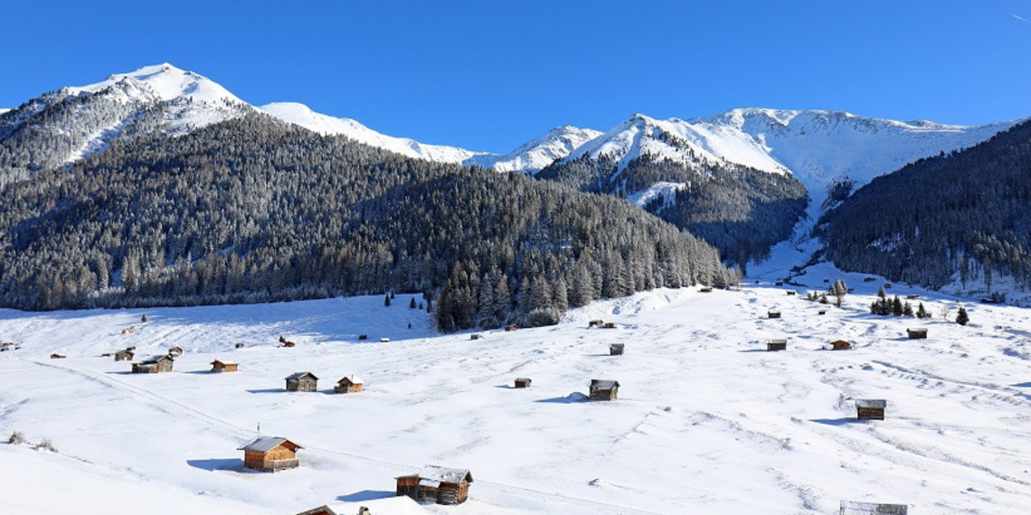
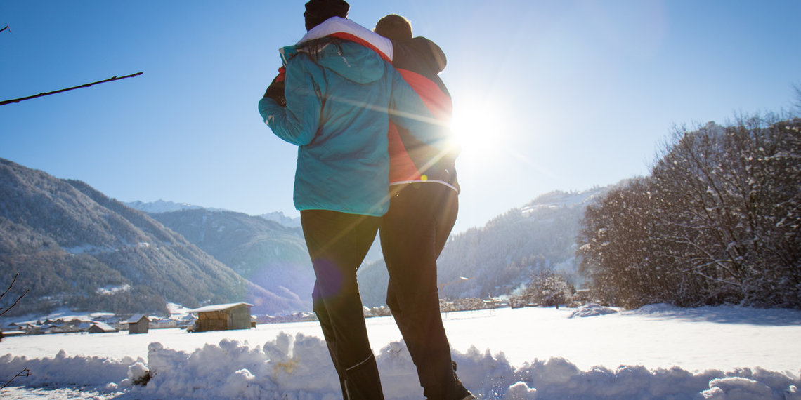
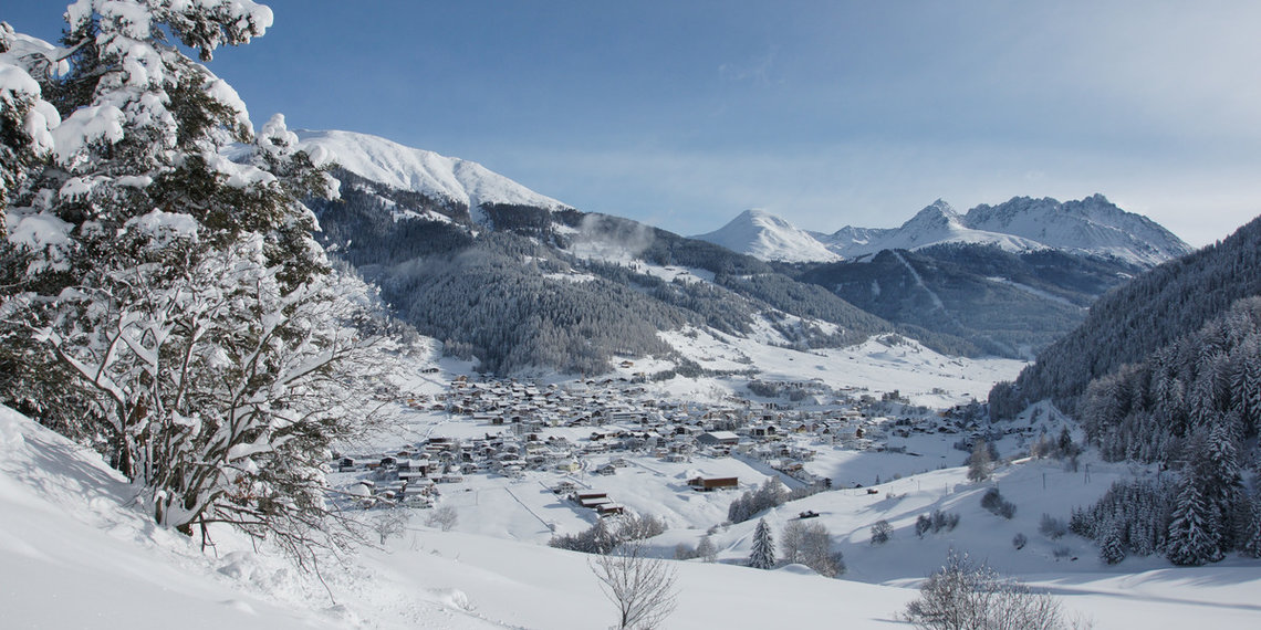
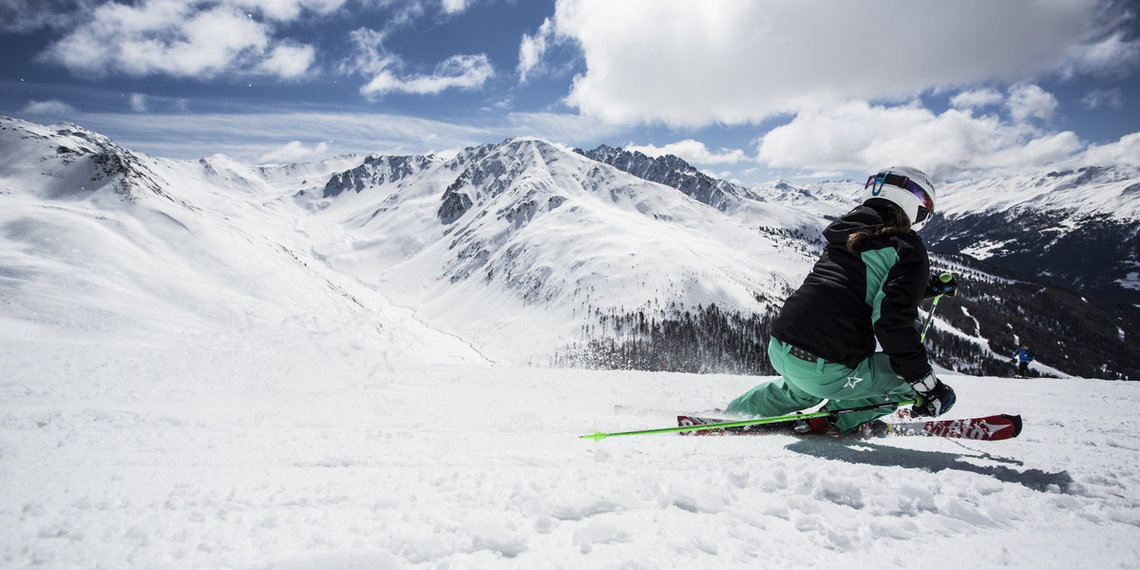
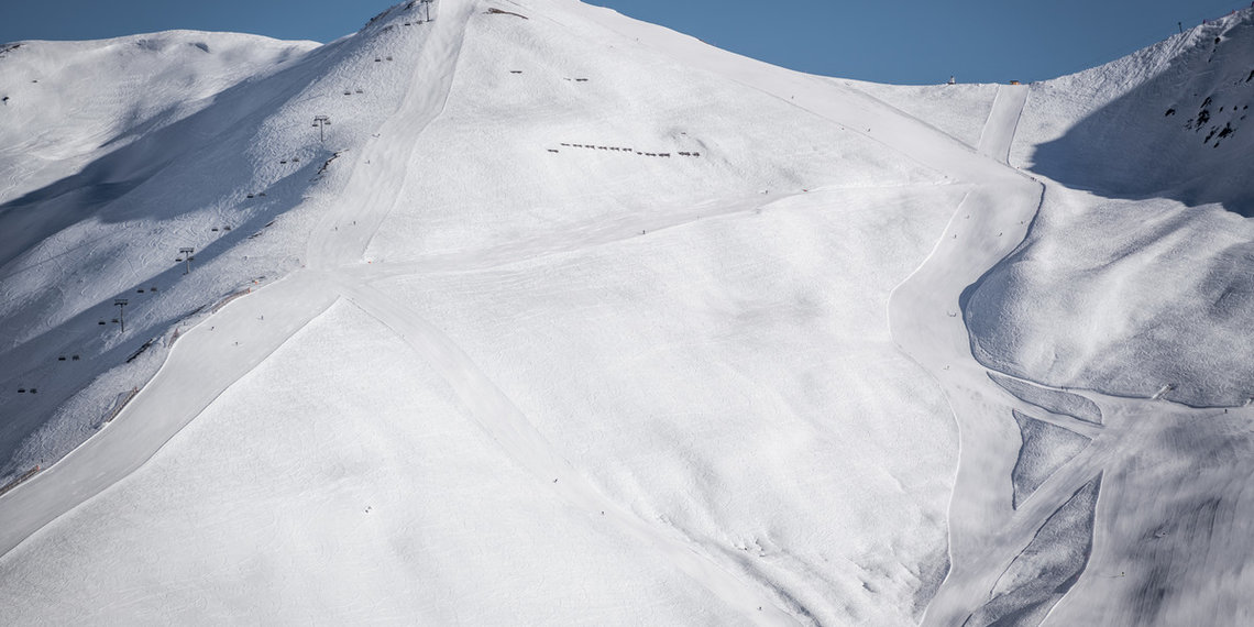
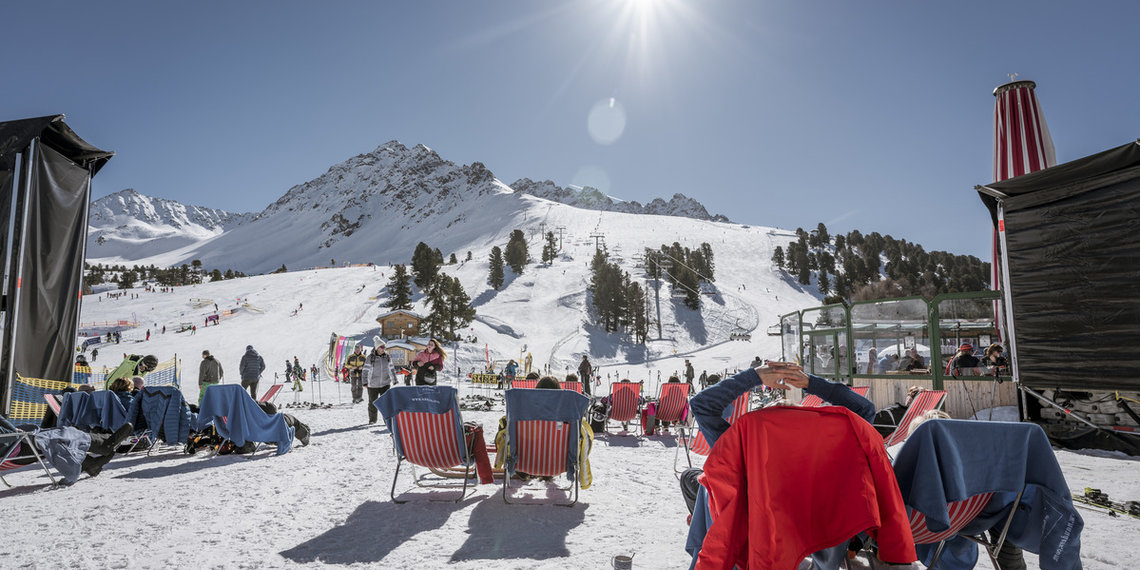
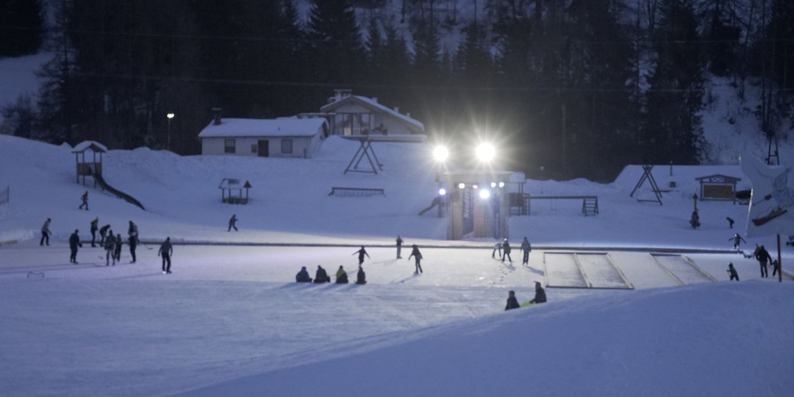
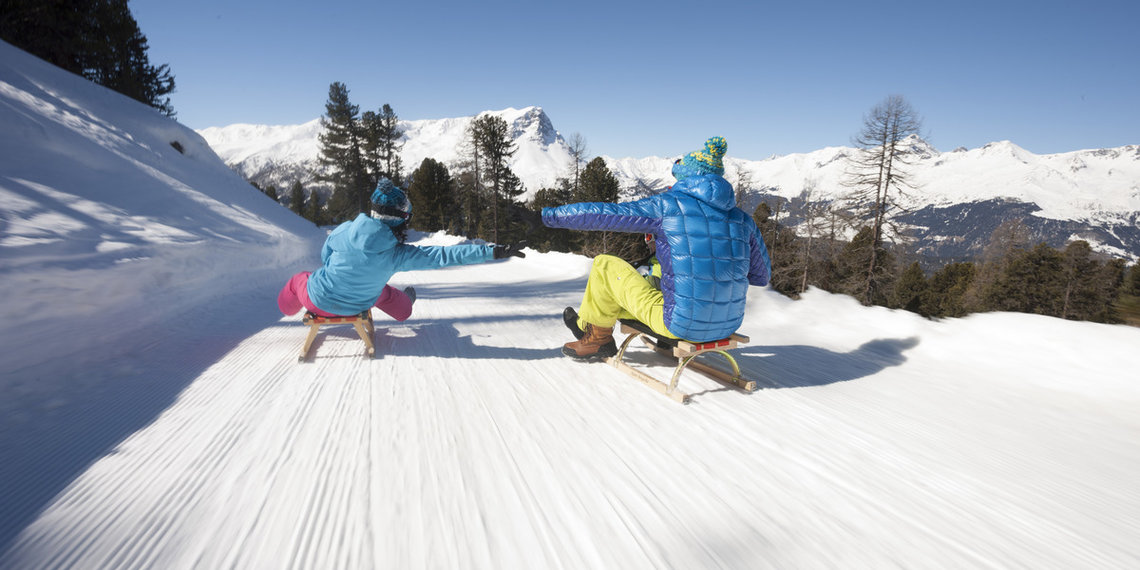
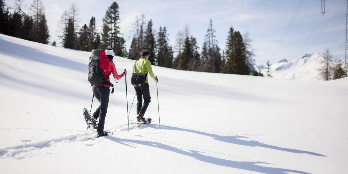
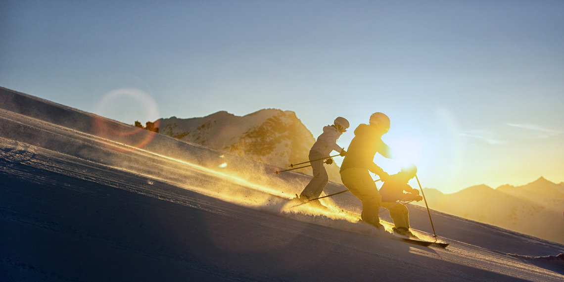
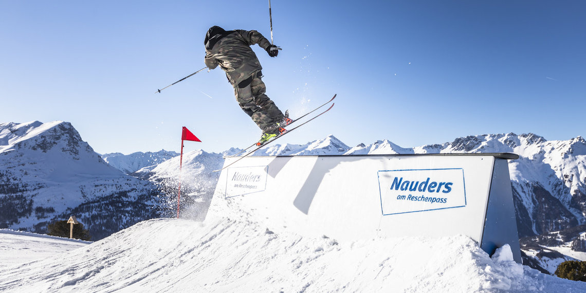
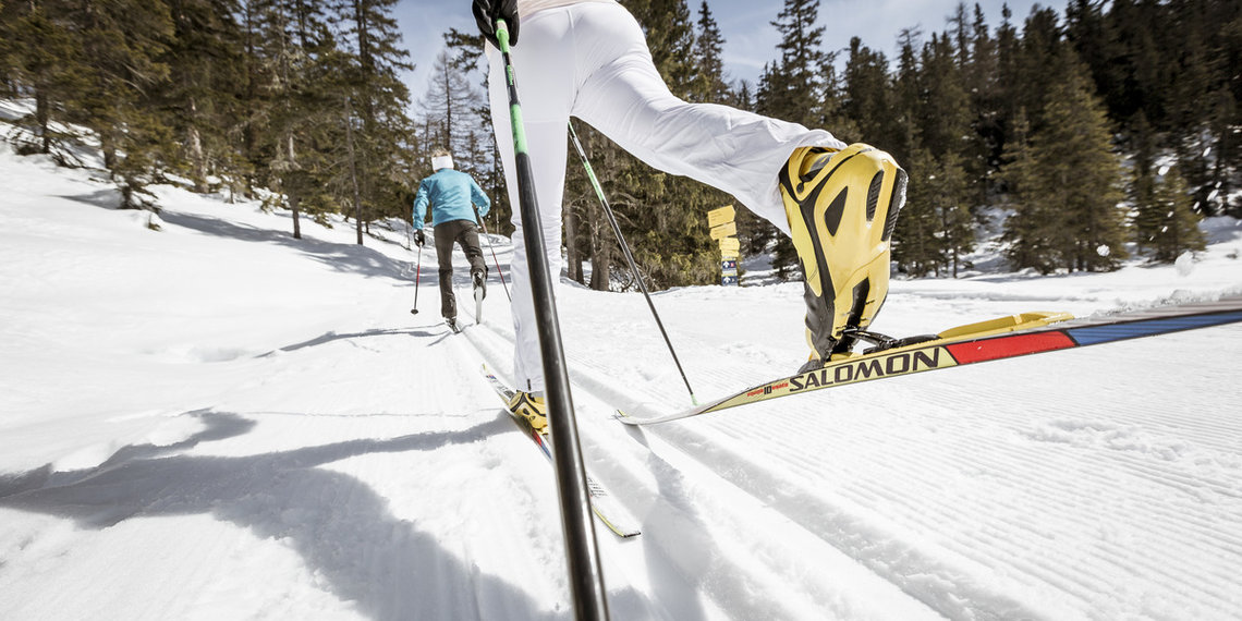
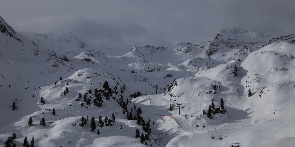
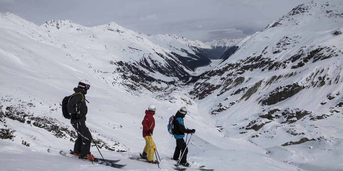
If you love winter and can't wait for the first fresh powder snow, then you've come to the right place in the Tyrolean Oberland, in Nauders and in Kaunertal, which lie at the heart of a true winter sports world. The partly favorable altitude, the glaciers and seamless snowmaking systems offer snow-sure fun and winter like in the picture book. Numerous wide slopes in the region and around ensure variety and little crowding at the lifts. Furthermore, extensive cross-country skiing tours, entertaining tobogganing, romantic winter hikes, challenging ice climbing and off-piste adventures await you. In addition to activities in the winter nature, there are traditional events, lots of culinary delights and opportunities for soothing relaxation.


Text of the historical maps of ...
100 AD
Road mostly at valley floor
Owing the narrowness of the valley, which was at risk of rockfall and often entirely flooded by the Inn, the Via Claudia Augusta ran along the slope between Landeck and Fließ, across the Fliesser Platte in which the carts left traces in the rock in the different periods. Back in the valley, the Roman road was then able to continue – with various river crossings – along the valley floor until Altfinstermünz, as nature narrowed the course of this section of the Inn. From Finstermünz the road climbed steadily at a gradient of 11% up through the gorge to Inutrium, the only road station for which there is written evidence, shortly before reaching its highest point, the Reschen Pass. There are thought to have been two more road stations between Prutz and Pfunds. Fließ and Inutrium were definitely inhabited.
1530
Road and mining
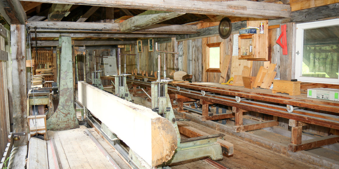
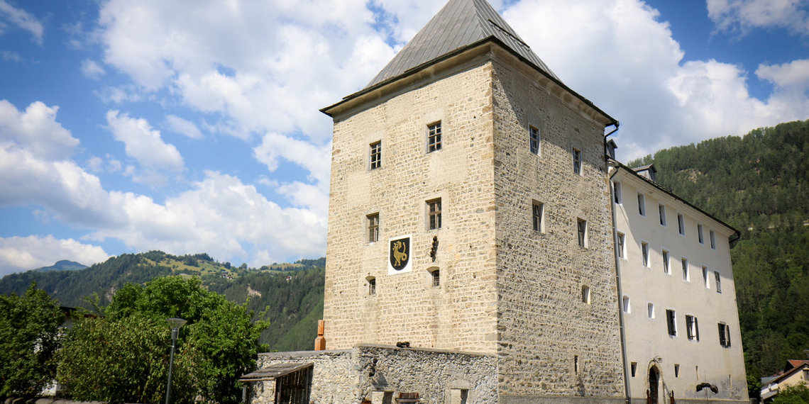
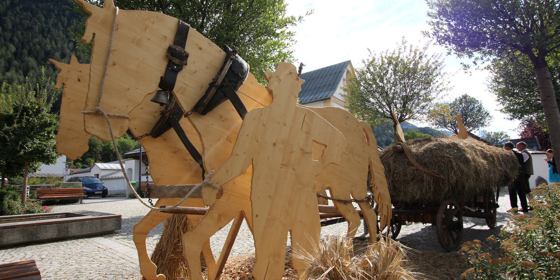
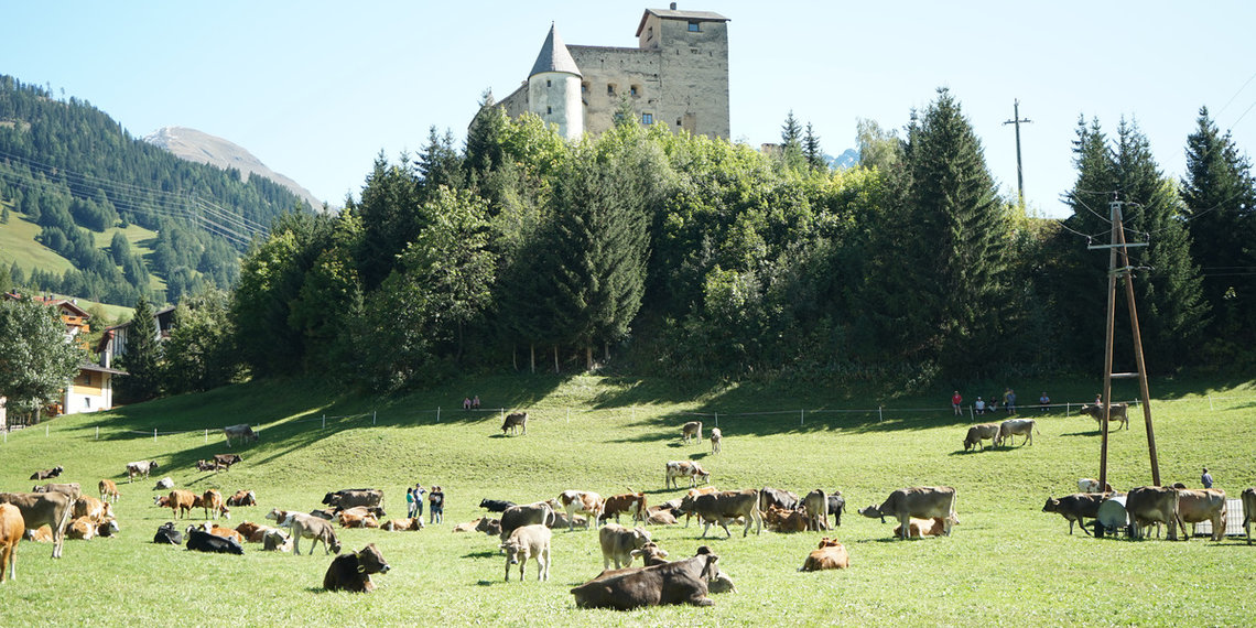
The Roman road largely remained in use in the Middle Ages and modern era. Fortresses such as Pidenegg, Pernegg, Laudegg, Siegmundsriedt, Finstermünz and Naudersberg lined the transport routes. Apart from the main roads, there were almost only mule tracks. As well as self-sufficient farming and earnings opportunities in connection with the road, income was also generated by mining – first in Kaunertal, then in Bergtal and later in Platzertal. Ore was also extracted in Serfaus and smelted in Fließ.
1910
New transport routes
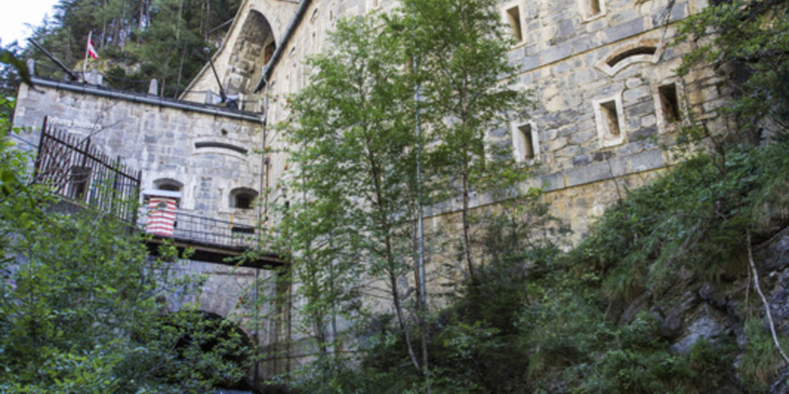
For a long time there were discussions about how to modernise the Reschenstrasse. The modern road builders finally got their way and the road was constructed between 1852 and 1856 with hairpin bends and galleries many of which are still in use today. Roads were also built to the Engadine, to Samnaun and to the mines of Platzertal. The ore was also transported with a goods cable lift. As well as investments in the roads, there were also two different plans for a rail link across the Reschen Pass for which a large number of tunnels would have been necessary. The northernmost fortress of Austria-Hungary facing Italy bears witness to the strategically important location of the pass.

In principle, the Romans sought the shortest route for the Via Claudia Augusta. The Roman road therefore ran as straight as possible, usually on the sunny side of the valley, slightly above the valley floor, so that it was not affected by storms and was quickly dry and snow-free again after rain and snowfall. Of course, there are exceptions to all the rules.
In this map you can see what there is to discover in the region, among other things.

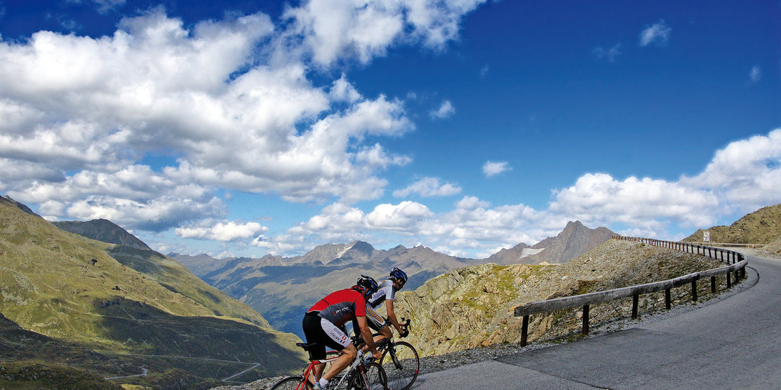
In this map we show you how to cycle the Via Claudia Augusta from the north and also from the south of the region.

In this map we show you how to hike the Via Claudia Augusta from north and also from the south of the region.

In this map we show you how to experience from the region by car, camper, bus, ... the Via Claudia Augusta and its attractions to the north and south.
Auskunft zur gesamten Via Claudia Augusta erteilt die
Via Claudia Augusta Info
www.viaclaudia.org
info@viaclaudia.org
0043 664 27 63 555
Detailfragen zur Region beantwortet am Besten die
Touristinfos of the Tiroler Oberland
www.tiroler-oberland.com
Hintergasse 2, 6522 Prutz
Kirchplatz 48, 6531 Ried im Oberinntal
Stuben 40, 6542 Pfunds
office@tiroler-oberland.com
0043 50 225 100

In this map we show you the hosts in the region along the Via Claudia Augusta cooperating with it.


