


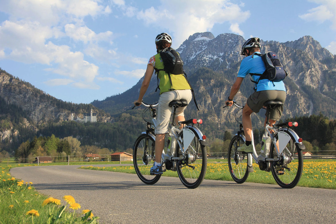
This page introduces the Via Claudia Augusta road trip route with a profile and a selection of pictures. Experience the roads once used by the Etruscans, Rhaetians, Celts and Romans during your trip. Alternatively, go on a long-distance hike along the Via Claudia Augusta. It takes several days, but most people can manage. Traveler from all continents and of all ages between 5 and 93 have jumped at the opportunity to embark on this unique adventure.
The road trip route


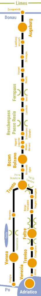
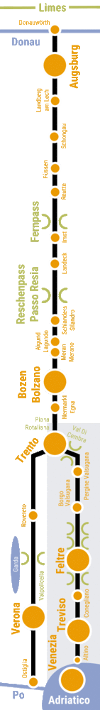
Profile of the road trip route Via Claudia Augusta
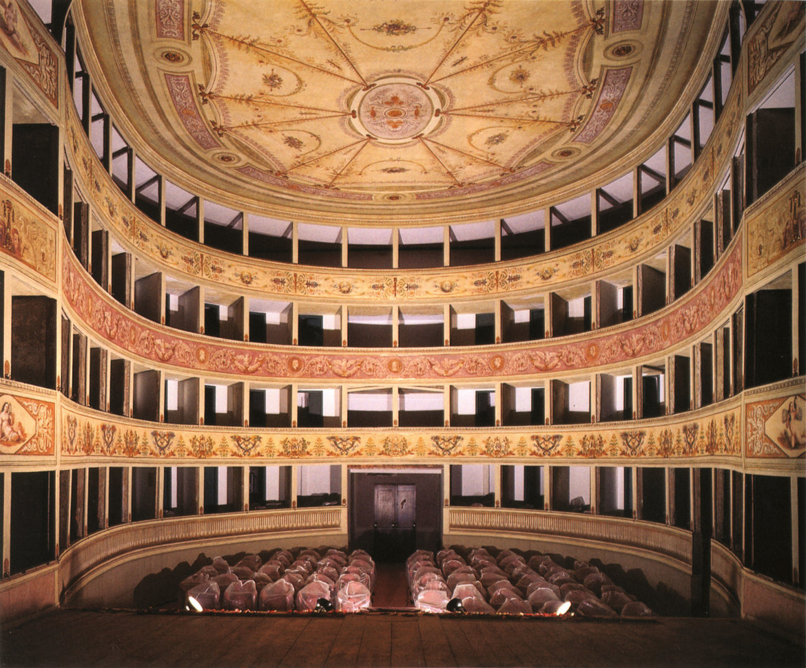
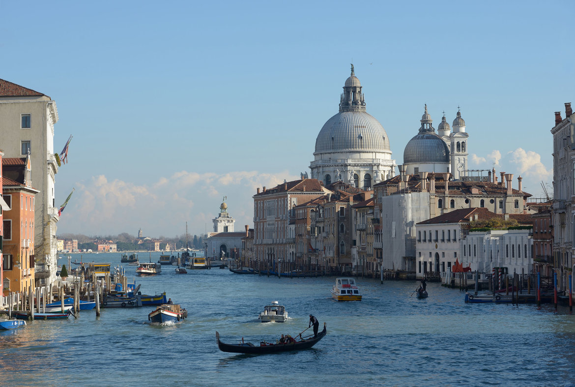
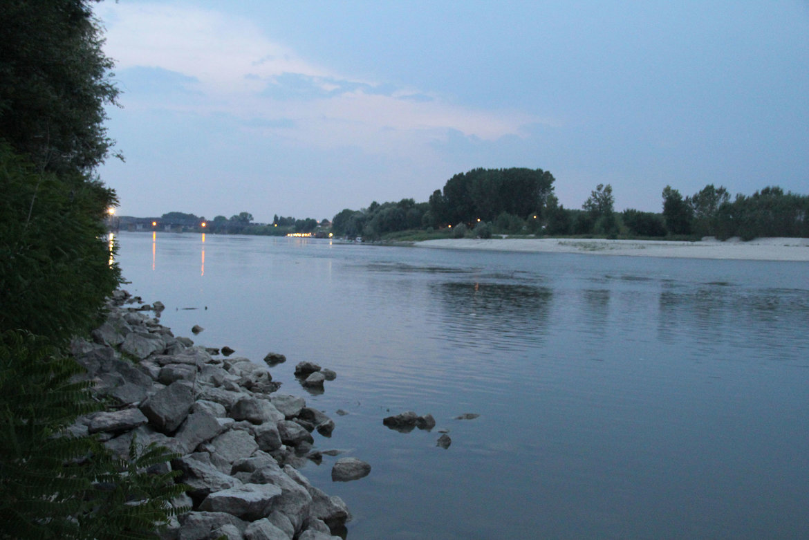
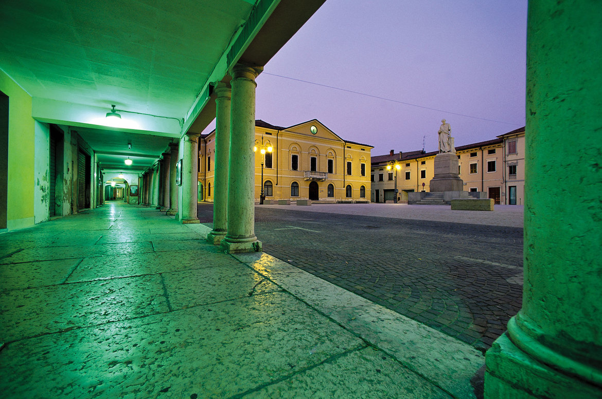
In 15 B. C., the Romans followed the paths once established by the Etruscans, Rhaetians and Celts to the north and started expanding them into the first fully fledged road through the Alps. Sixty years later, in 45/46 A. D., the epochal structure was completed and named after the reigning Emperor: ‘The Imperial Road of Claudius’. The trans-European road survived the fall of the Roman Empire. Now, its main purpose was to facilitate trade. Countless people from many countries encountered each other’s cultures along the road. The travel route along the Roman road leads you past picturesque national roads and passes through the Alps, from the Danube to Altino near Venice or Ostiglia on the Po river. On the way, you will see a wide range of landscapes, pretty villages, lively towns and many sights and attractions that the road helped shape. More than 200 accommodation facilities cater to travelers on the Via Claudia Augusta. Some even serve a dish that people already ate 2000 years ago along Europe’s cultural axis.
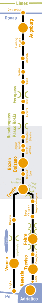
2 versions: in Trento, the road forks. The Via Claudia Augusta ‘Altinate’ branch runs to Feltre and terminates in Altino near Venice; the Via Claudia Augusta ‘Padana’ branch runs to Verona and terminates in Ostiglia on the Po river.
Route: approximately 700 km from Donauwörth on the Bavarian Danube across the Alps to Altino near Venice or 650 km from Donauwörth to Ostiglia on the Po river.
Combining the 2 versions: You can travel both versions, ‘Altinate’ and ‘Padana’ in the south of Trento, on the same trip, either clockwise or counterclockwise.
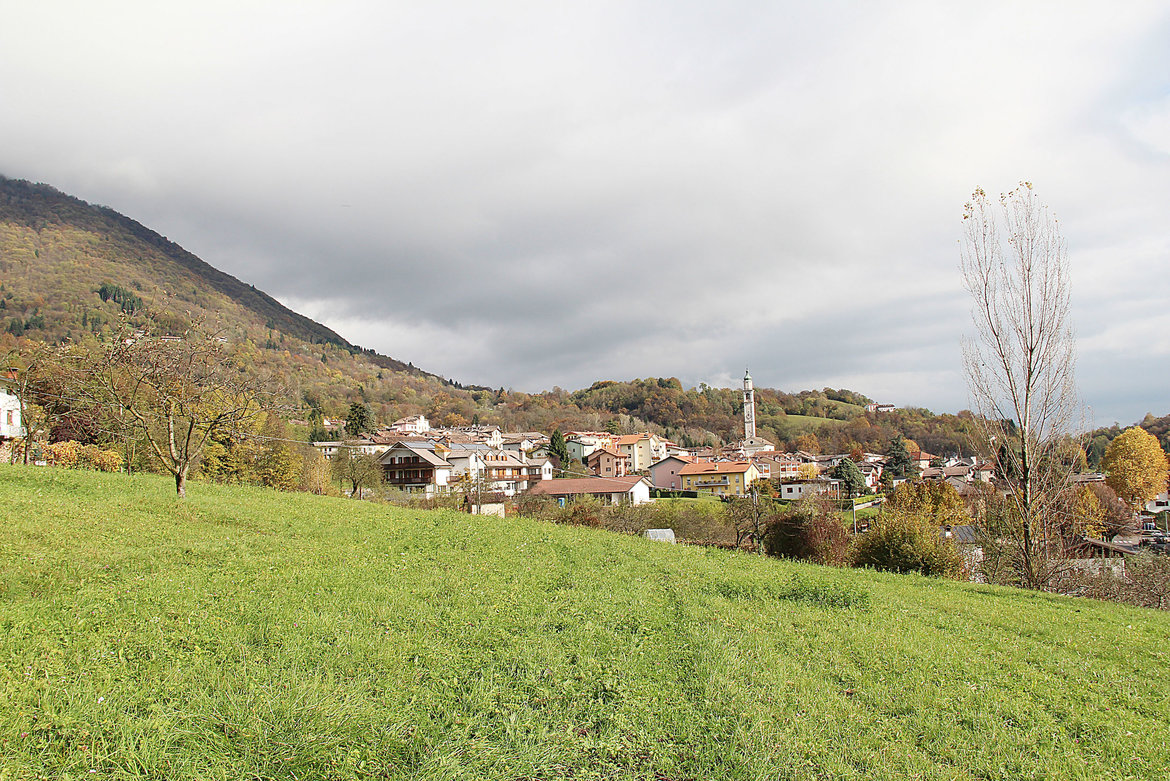
Route profile: the route mostly runs along picturesque country roads and romantic mountain paths, offering plenty of panoramic views , tours of the lovely towns and villages en route, and many sights.
Travel resources: printed guidebooks, an interactive map for your individual travel planning needs available on this page, apps helping you navigate your individually planned route and offering information on all sights
Awards: the Via Claudia Augusta is a part of the German leisure road network (Deutsches Ferienstraßennetz) and Gran Tour Europa.

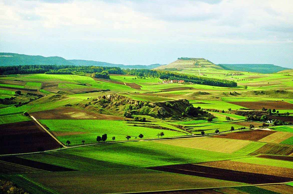
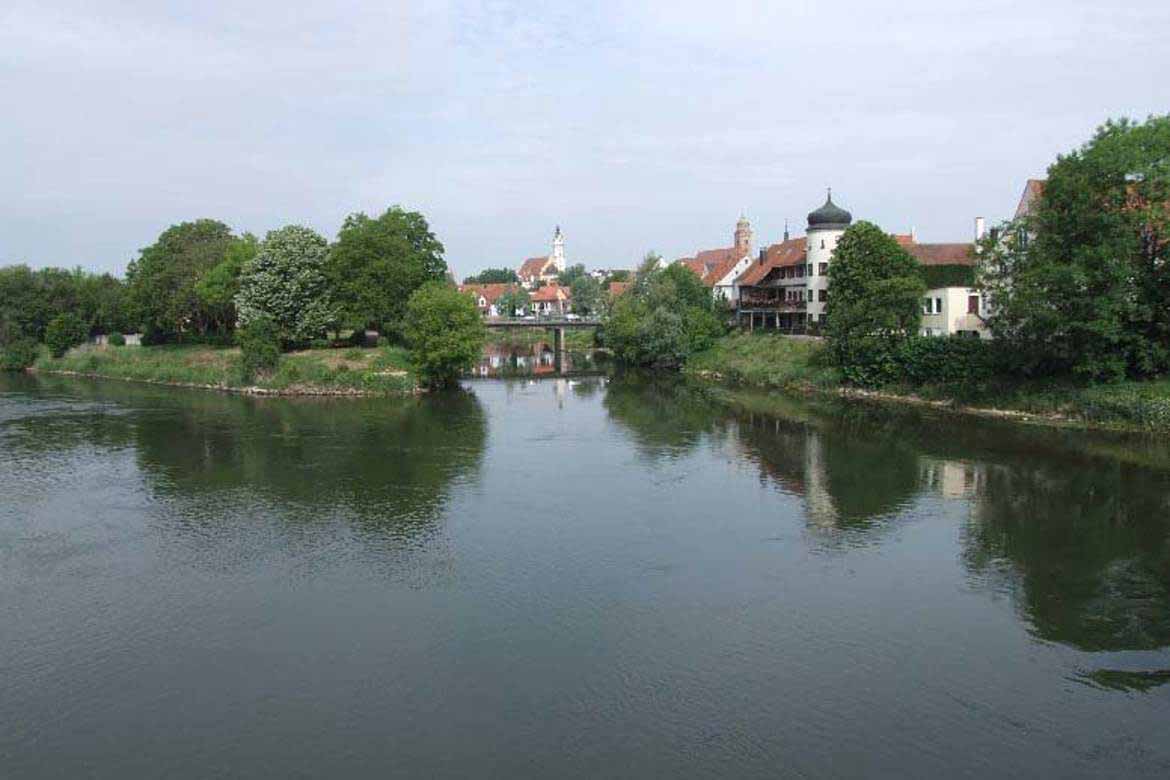
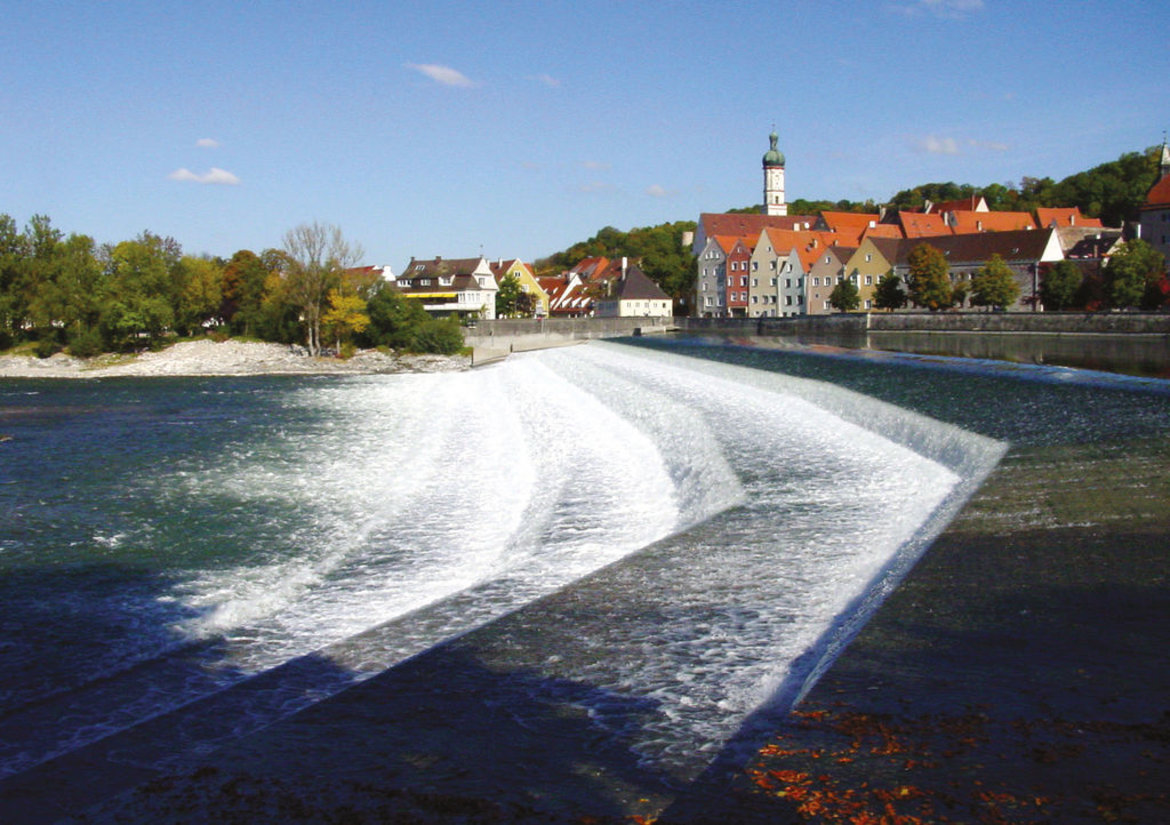
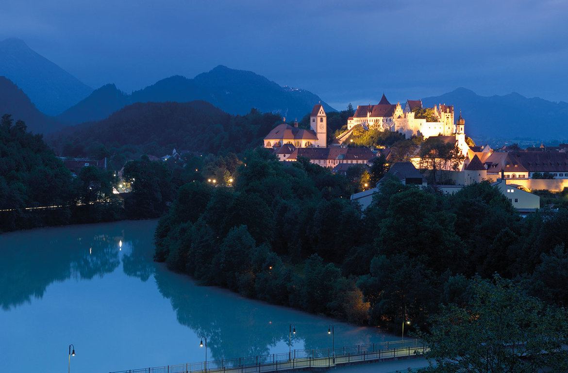
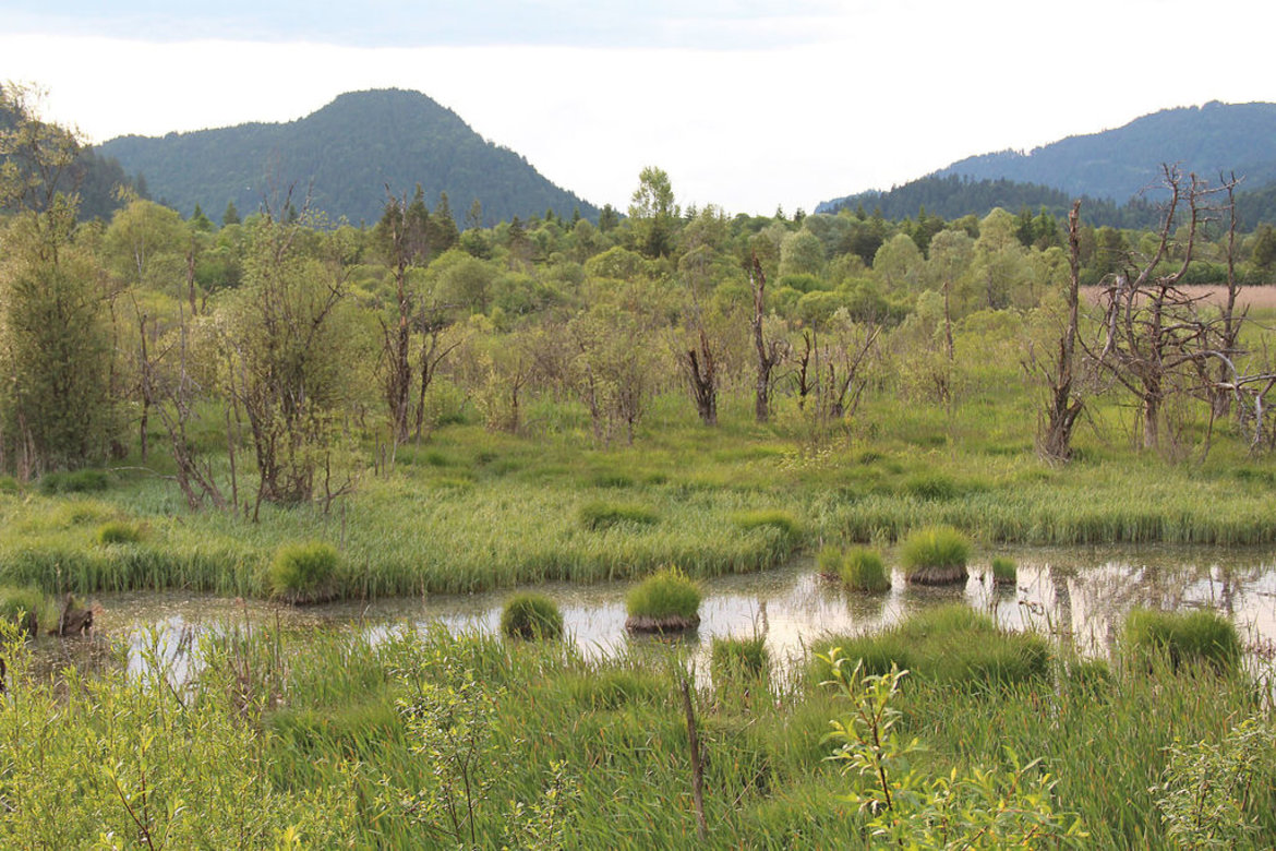
Landscapes: Nördlinger Ries Crater and the Danube > Donauwörth (town) > Lechtal valley and Lech floodplains > Augsburg (city) > Lechfeld > Landsberg am Lech (town) > Fuchstal valley and Lechrain region > Schongau (town) > Pfaffenwinkel region > Aubergland municipalities > Ostallgäu district > Forggensee lake > Füssen > castles of the Allgäu


detailed description of the ‘Altinate’ road trip route
detailed description of the ‘Padana’ road trip route

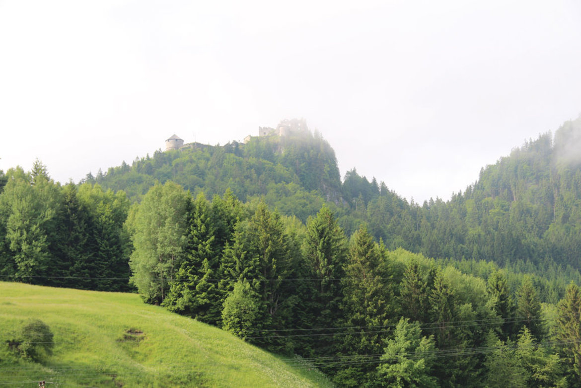
Tiroler Lech Nature Park > Vils (small town) > Reutte (market town) > Burgenwelt Ehrenberg (castles) > Plansee and Heiterwanger See lakes > Zwischentoren > Mähberg > Tiroler Zugspitz Arena > Natura 2000 Area: the Fernpass landslide landscape with seven lakes > Gurgltal valley > Imst (town) > Oberinntal valley > Landeck (town) > Tyrolean Oberland > Kaunertal valley > Graubünden/Grisons (CH) > Nauders on the Reschenpass


detailed description of the ‘Altinate’ road trip routedetailed description of the ‘Padana’ road trip route

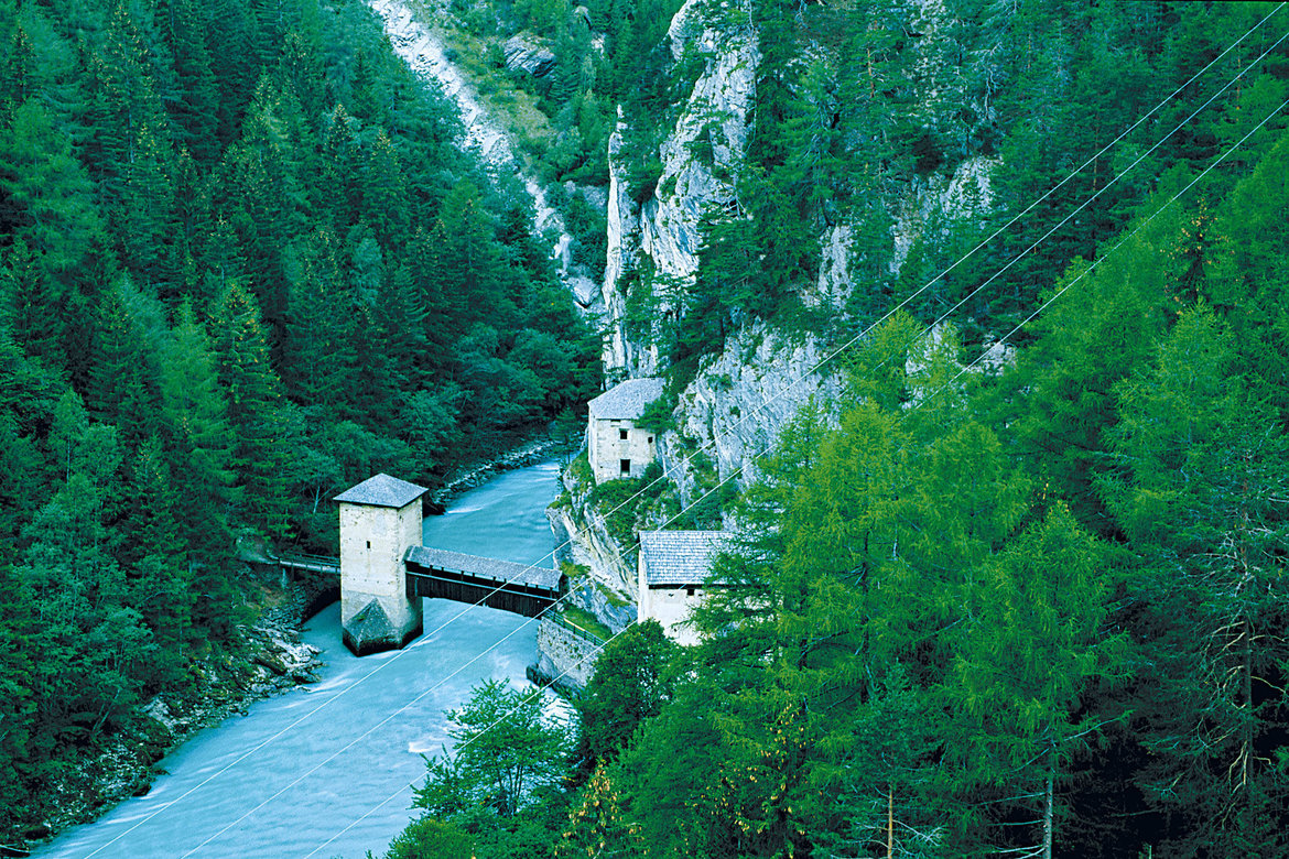
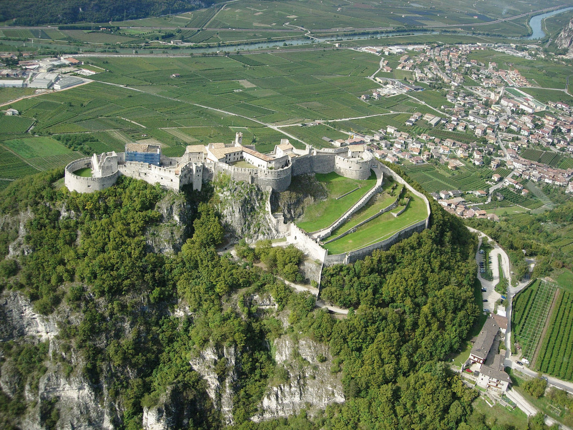
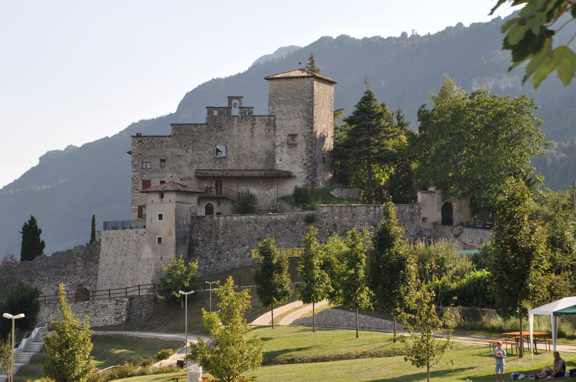
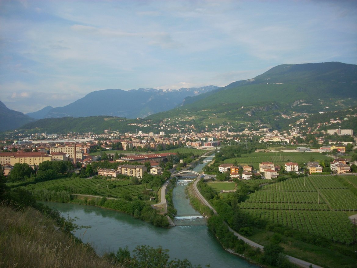
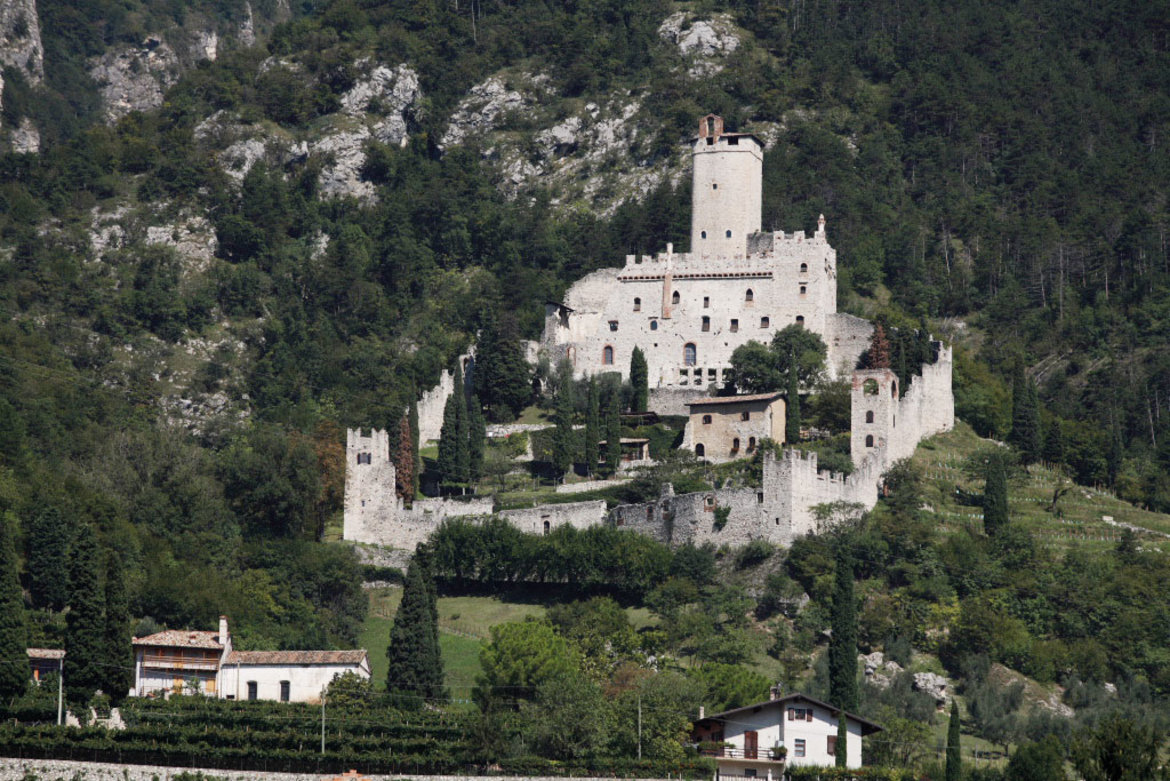
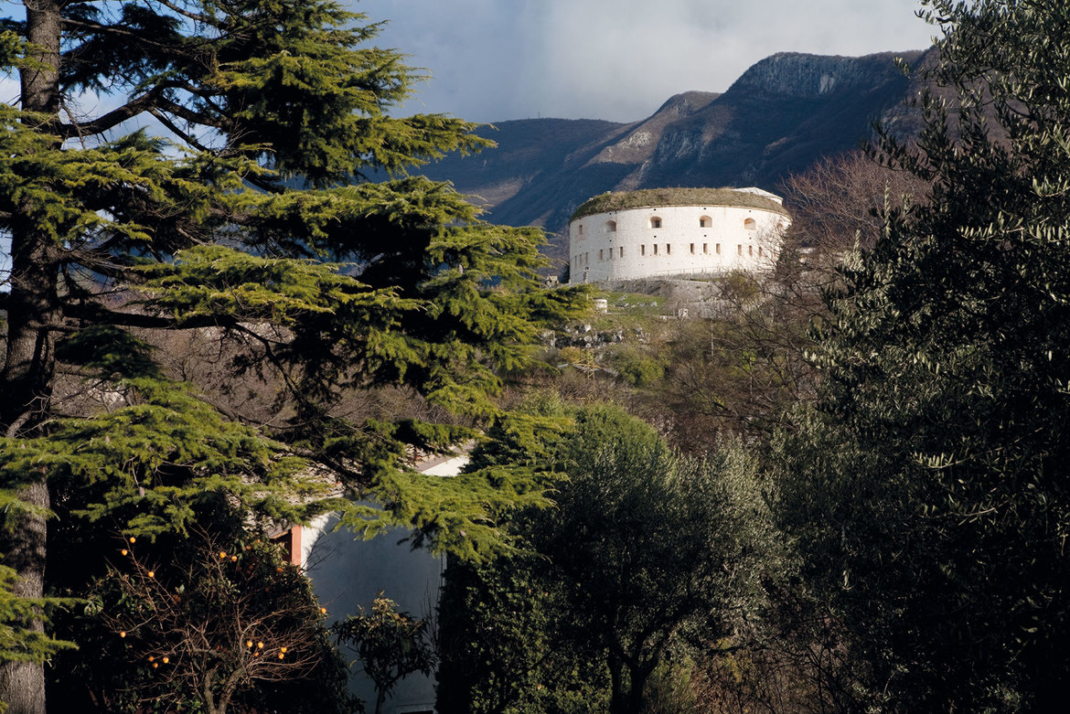
The Etschtal valley between the Reschenpass and Trento (South Tyrol, Trentino):
- Sections 20 - 31
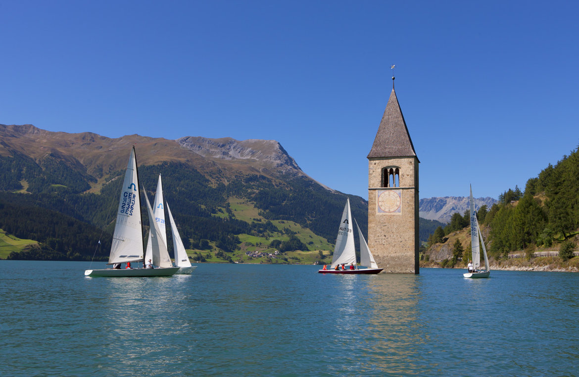
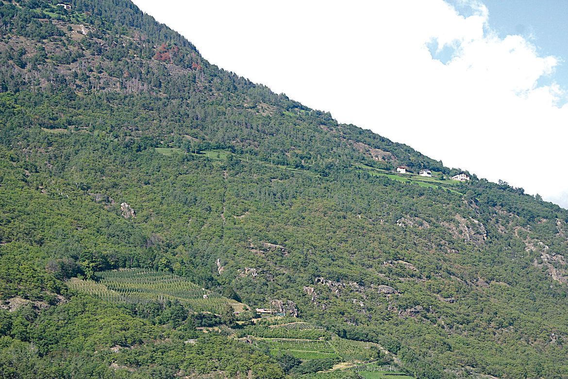
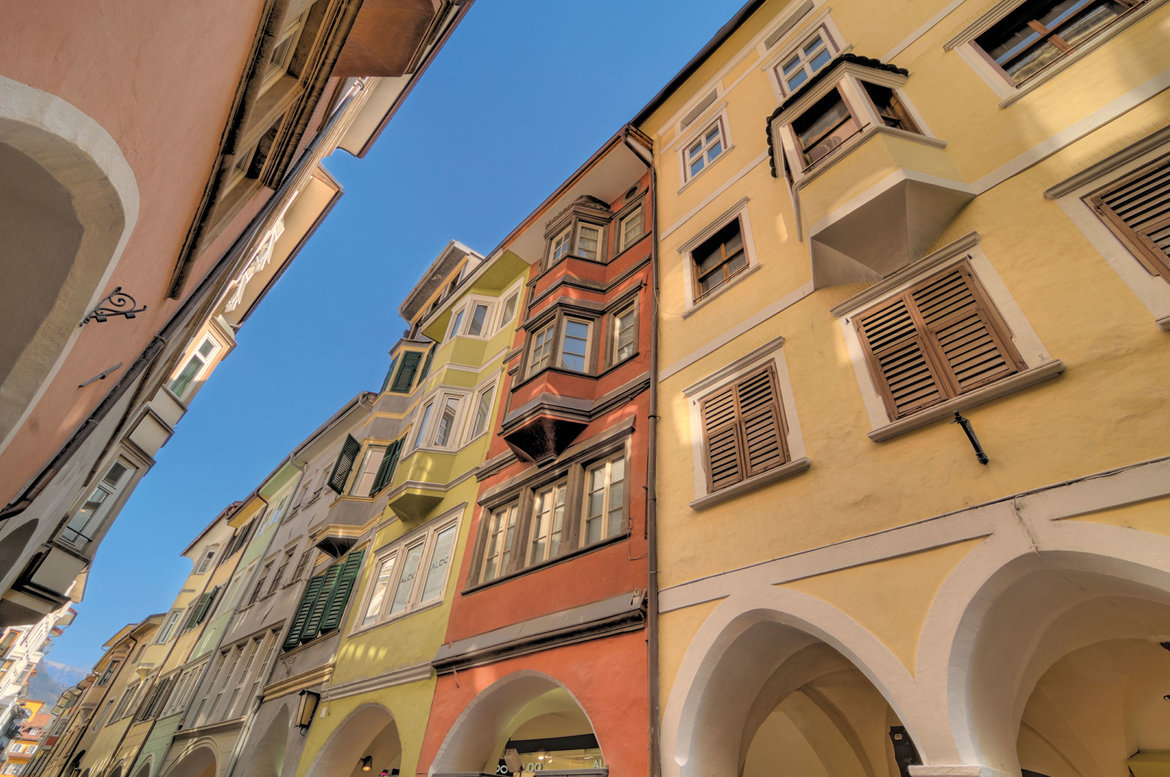
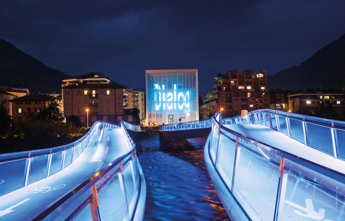
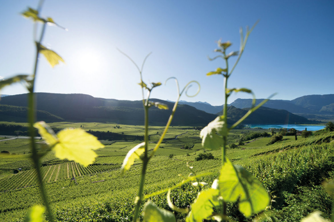
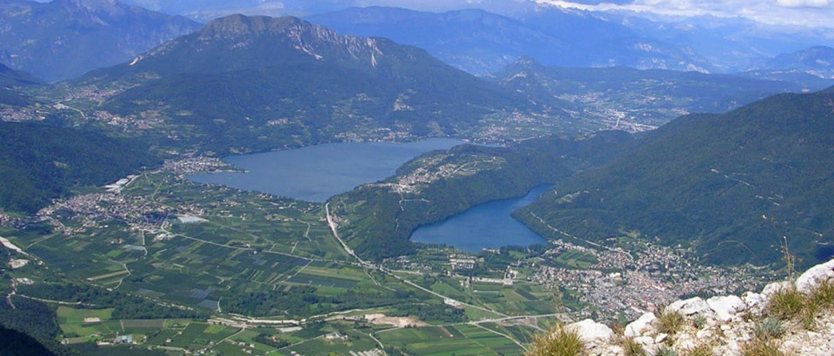
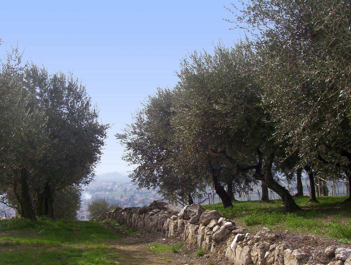
Reschenpass, Reschensee and Haidersee lakes > Mals/Malles heath > Upper Vinschgau valley > Sonnenberg mountain > Lower Vinschgau valley > Töll/Tel > Meraner Land > Burggrafenamt > the provincial capital of Bolzano/Bozen > South Tyrolean Wine Road > Kalterer See lake > Castelfeder > Salurner Klause > Piana Rotaliana > Val di Cembra and the Pinè plateau > Trento, Monte Bondone and Valle dei Laghi


detailed description of the ‘Altinate’ road trip routedetailed description of the ‘Padana’ road trip route

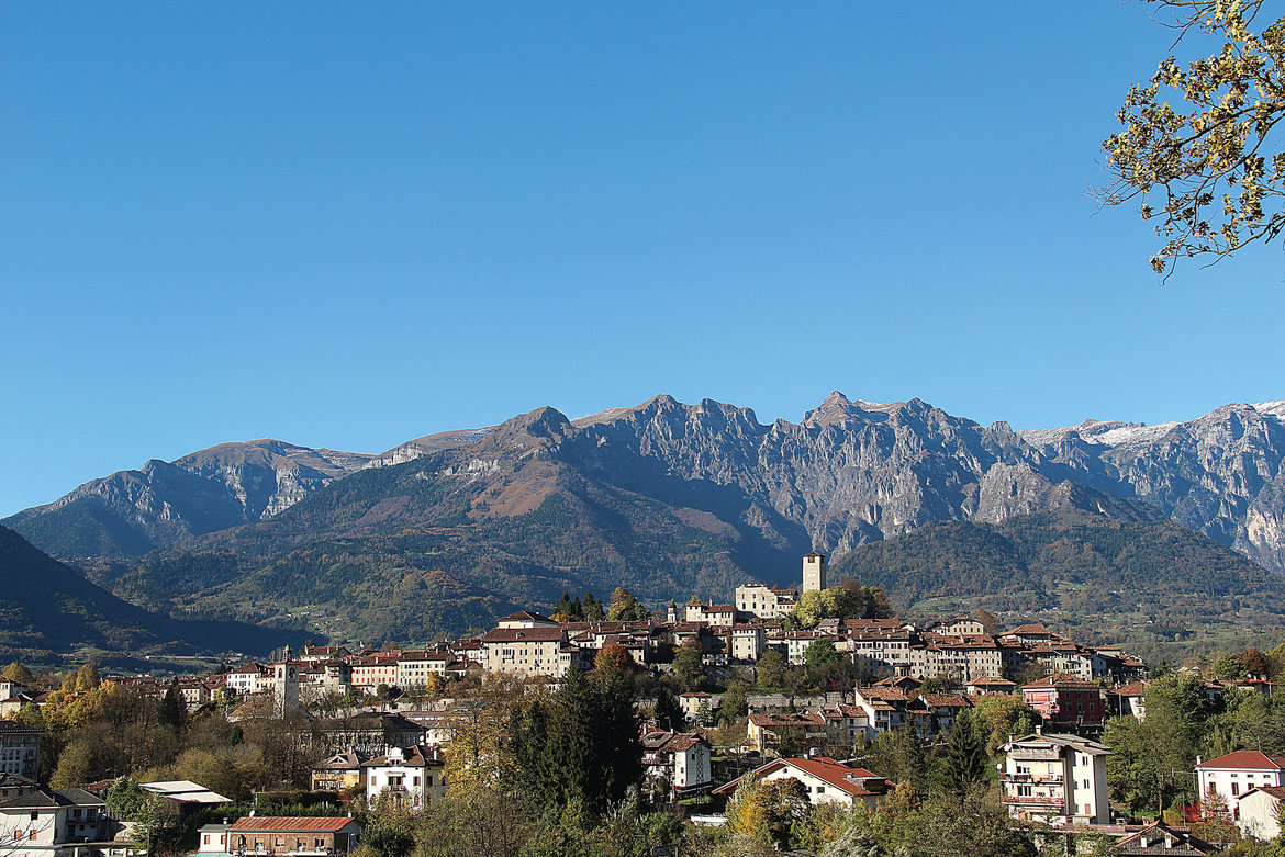
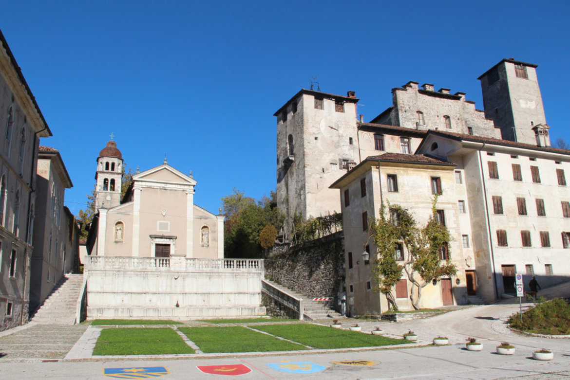
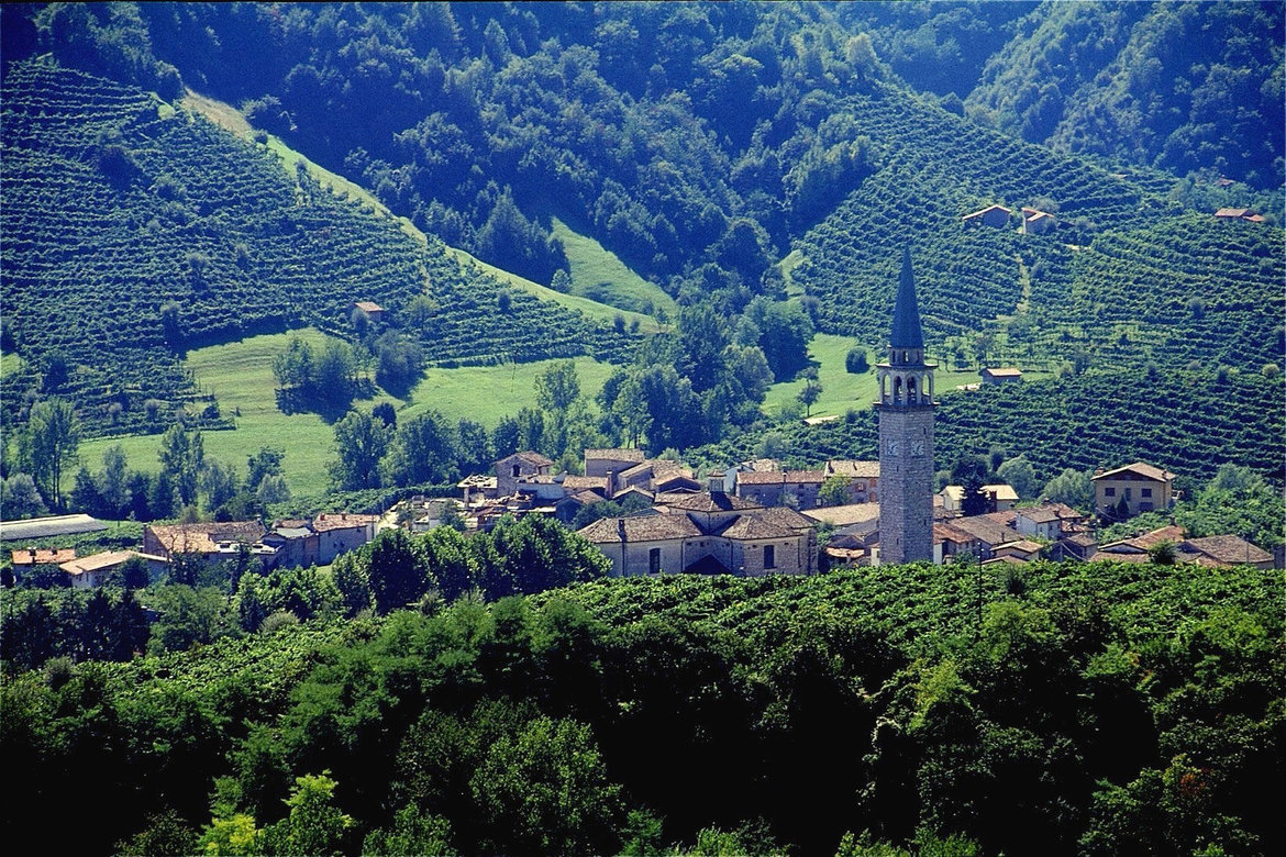
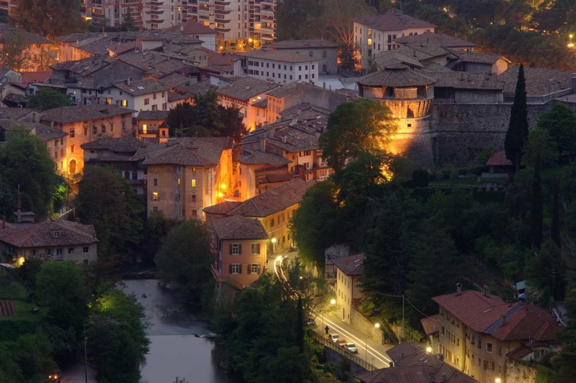
The ‘Altinate’ version of the Via Claudia Augusta from Trento to Feltre and Altino near Venice (Trentino, Veneto)
- Sections 31a(ltinate)–41a(ltinate)
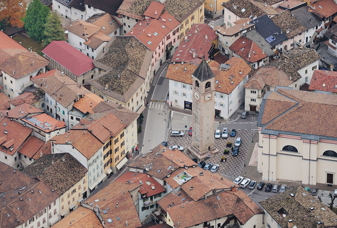
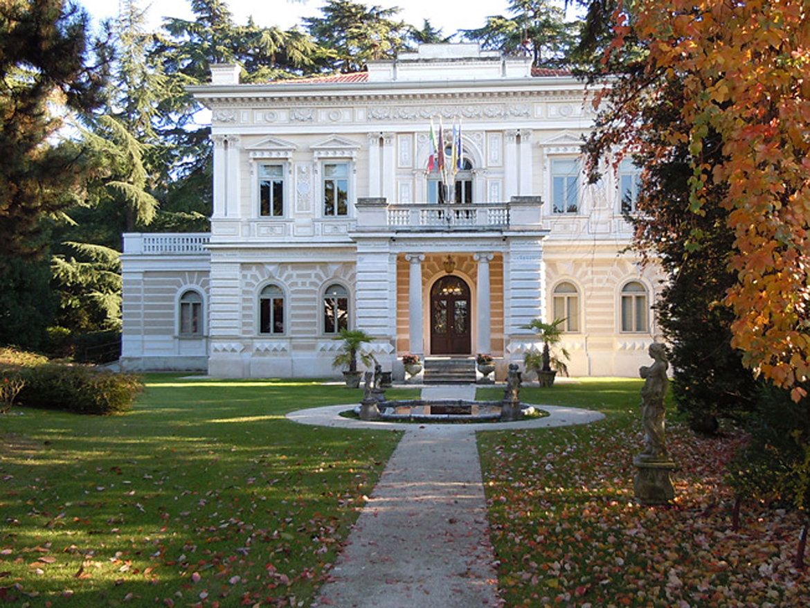
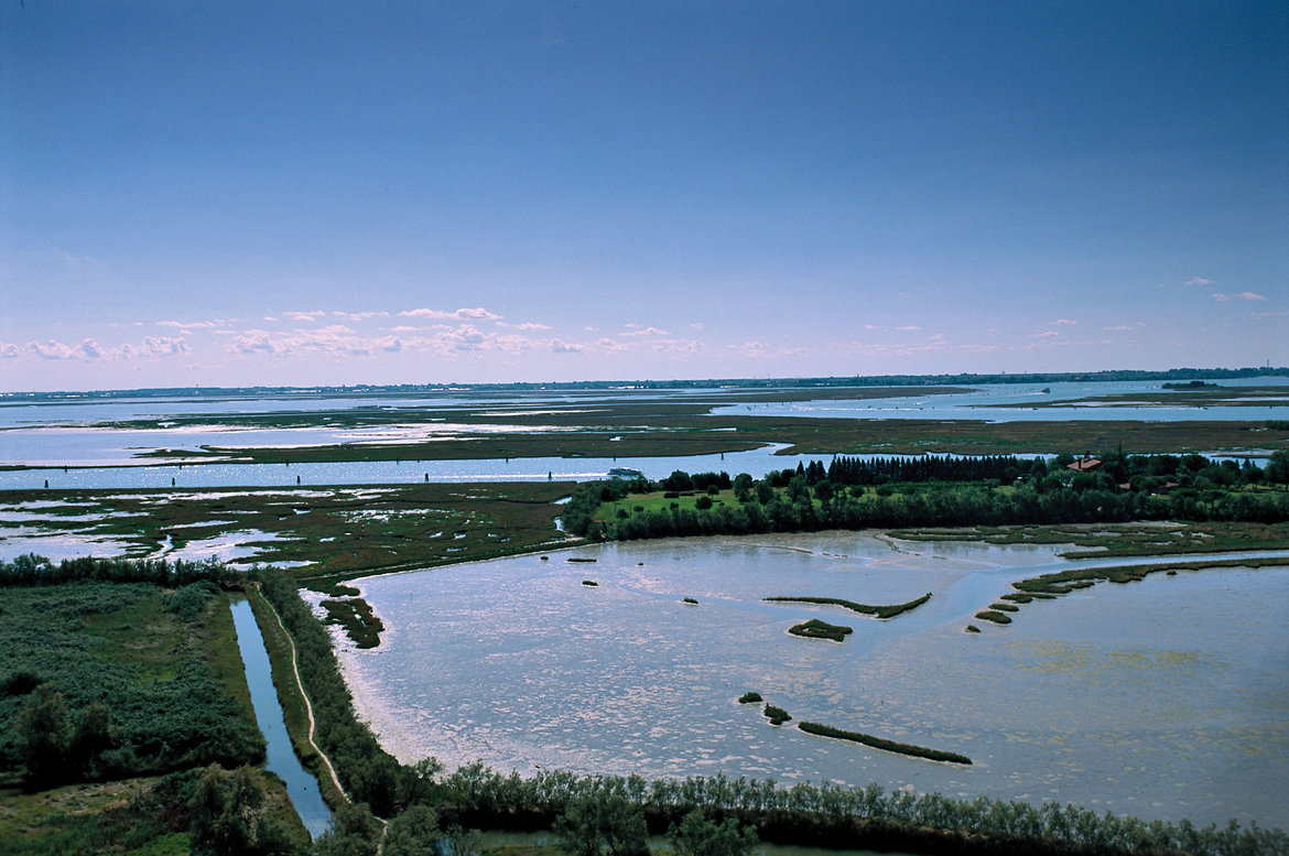
Ecomuseo Argentario > Val di Cembra and Pinè > Upper Valsugana > Media Valsugana > Val di Sella > Bassa Valsugana > Tesino Plateau > Senaiga Valley > Lamon and Sovramonte at the gateway to the Dolomiti Bellunesi National Park > Feltrino > Feltre (town) > Valbelluna > Praderadego Pass > Strada del Prosecco > Alta Marca > Montello and the hills of Asolo > the right shore of the Piave river > the provincial capital of Treviso > Sile Nature Park > Venice Lagoon > Jesolo (spa town) > the regional capital of Venice and Mestre


detailed description of the ‘Altinate’ road trip routedetailed description of the ‘Padana’ road trip route

The ‘Padana’ version of the Via Claudia Augusta from Trento to Feltre and Ostiglia on the Po river (Veneto, Lombardia)
- Sections 31p(adana)–39p(adana)
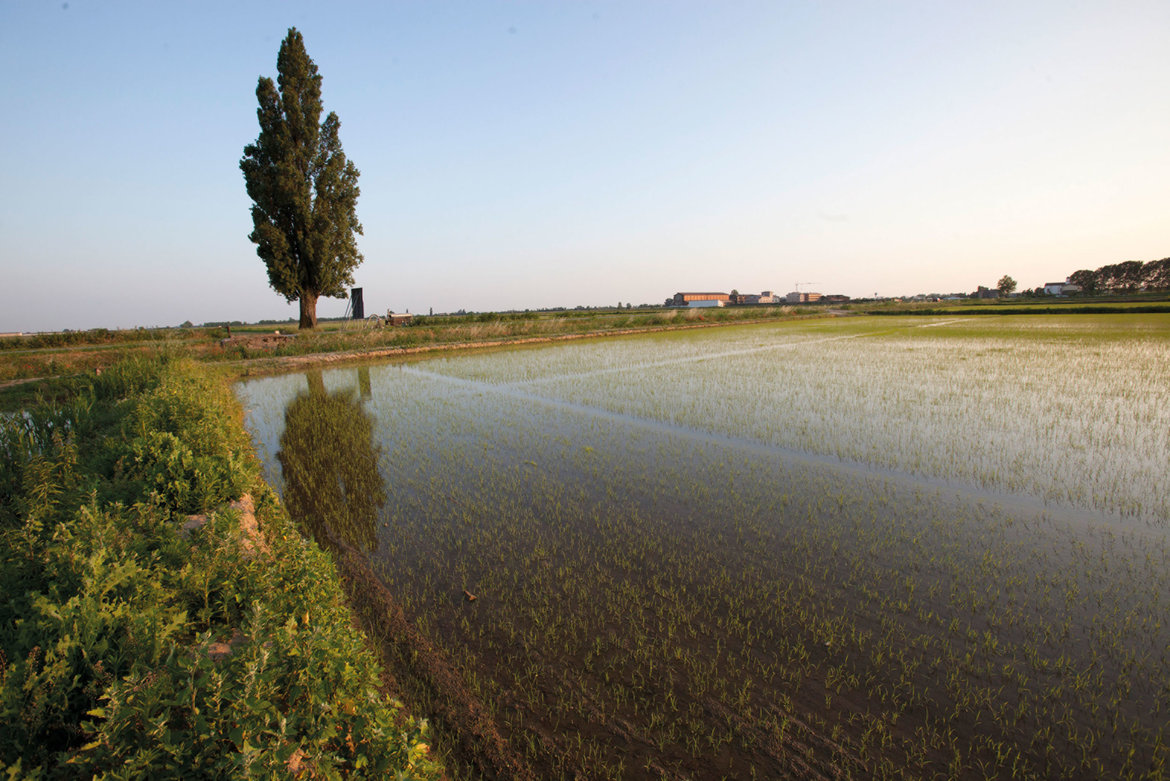
Northern Vallagarina > Rovereto > southern Vallagarina > Monte Bondone > Lago di Garda > Valpolicella > the provincial capital of Verona > Pianura Padana > Ostiglia > Po > Padovano > Oltre Po


detailed description of the ‘Altinate’ road trip routedetailed description of the ‘Padana’ road trip route
On this map, the historical route, the road trip route and all other content have been pre-selected. You can see all pre-selected content by zooming in on the map. To select content individually or plan a road trip, click the orange bar underneath this text.


