


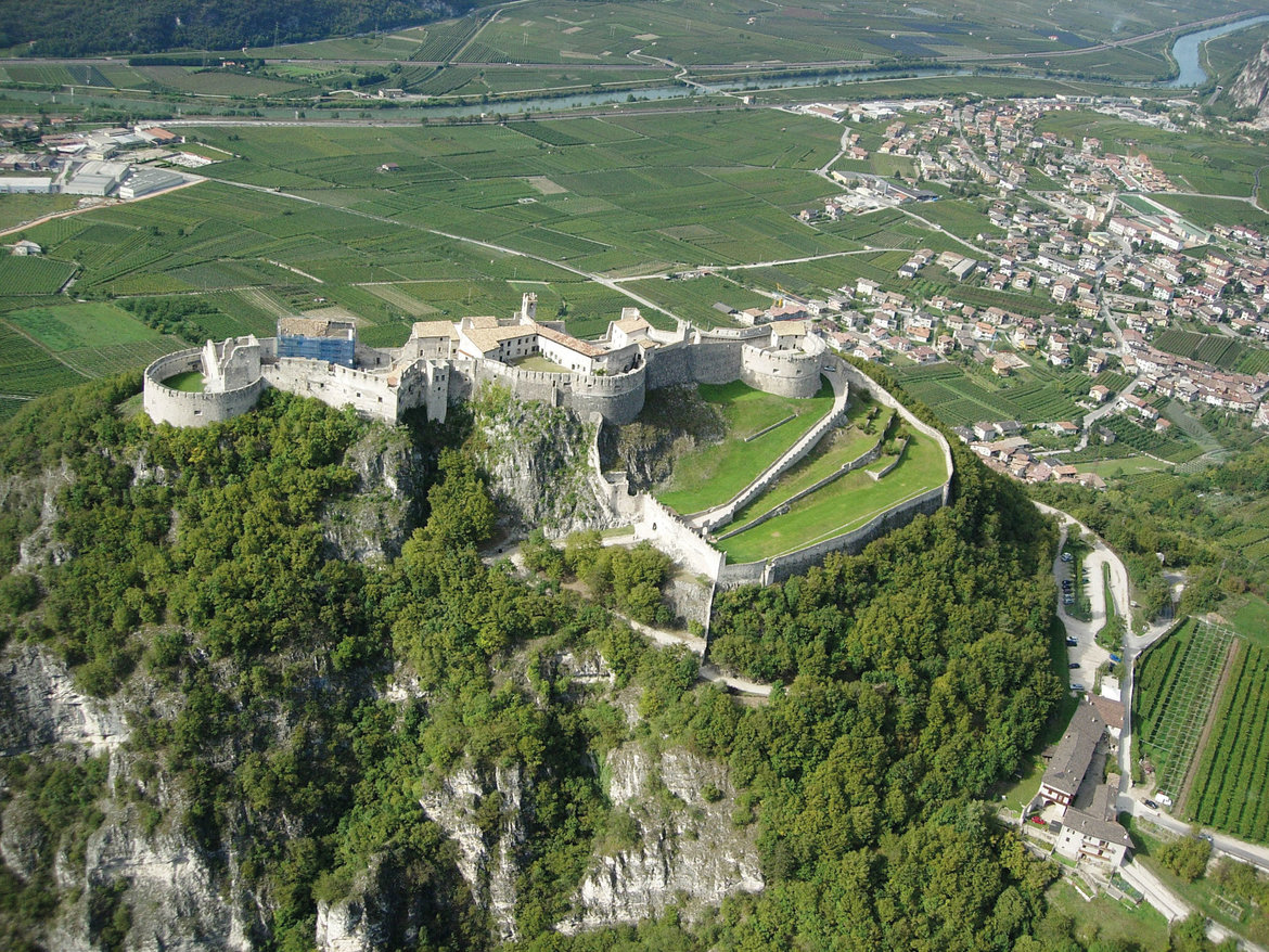
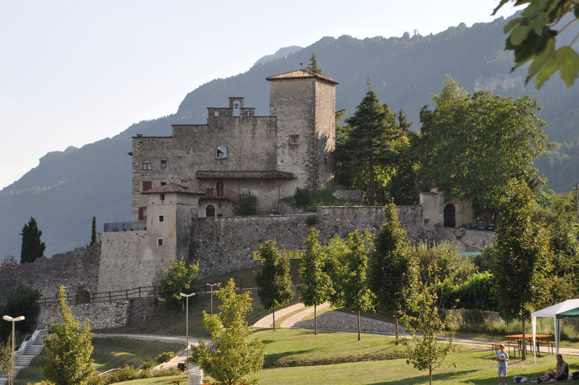
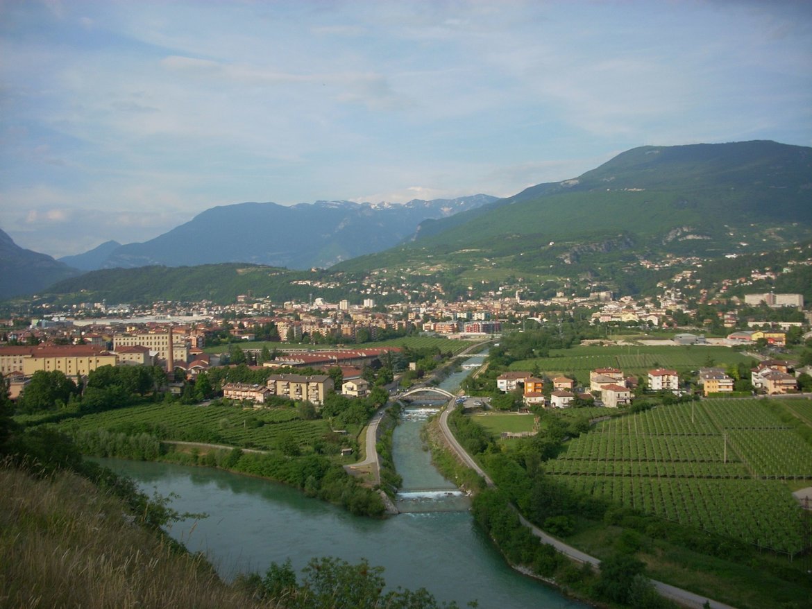
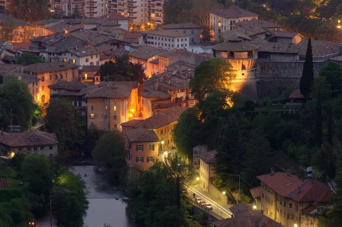
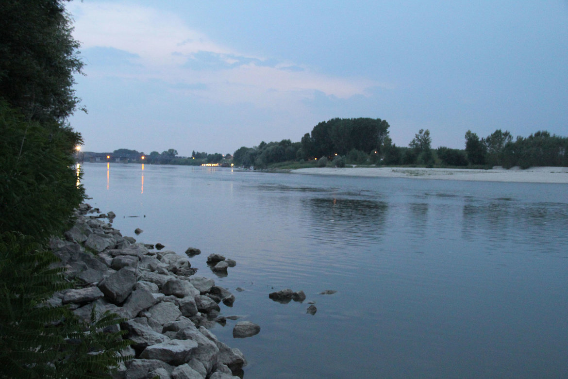
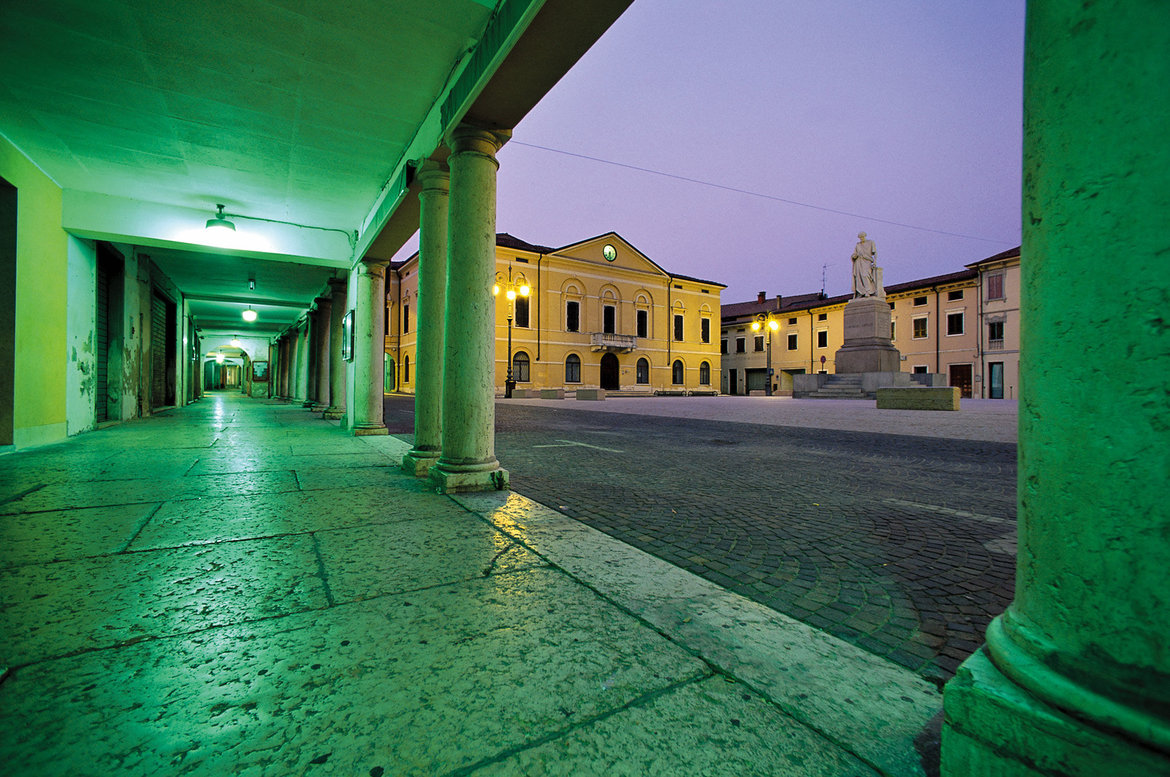
This page introduces the Via Claudia Augusta hiking route with a profile and a selection of pictures. Experience the route once used by the Etruscans, Rhaetians, Celts and Romans during your trip. Alternatively, go on a long-distance hike along the Via Claudia Augusta. It takes several days, but most people can manage. Hikers from all continents and of all ages between 5 and 93 have jumped at the opportunity to embark on this unique adventure.
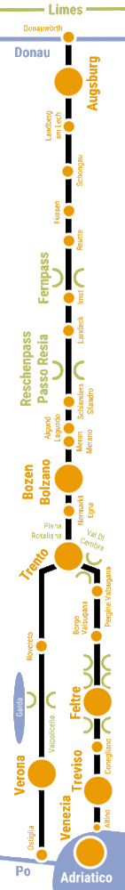
Via Claudia Augusta long-distance hiking route


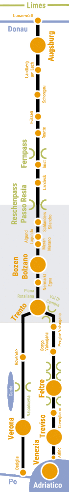
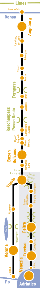
Profile of the Via Claudia Augusta hiking route
When Emperor Claudius ordered that the Via Claudia Augusta be expanded, he created the first real road connecting the Adriatic seaport of Altinum with the Danube. Most Romans traveled on foot. To offer them room and board along the way, road stations sprang up at intervals equivalent to a day’s walking. Most road stations also had a small spa and a sacred site. We have developed a long-distance hiking route based on the original Roman road. It takes you through a wide range of natural and cultural landscapes which the Via Claudia Augusta shaped over the centuries. Discover hundreds of historical monuments and the cultures connected to them. Plenty of culinary delicacies and refreshments will keep your batteries charged. The recommended accommodation facilities divide the route into stages, one for each day. For a list of accommodation providers that cater to long-distance hikers, see www.viaclaudia.org. Enjoy countless unique experiences, discover our roots and find yourself as you hike along the Via Claudia Augusta.
Distance: most long-distance hikers spend several days on the Via Claudia Augusta. The hiking route covers about 30 one-day stages of 4–6 hours each and spans 600 kilometers from Landsberg am Lech to the Alps and the Renaissance castle of Castelbrando on the picturesque Prosecco hills to the north of the Venetian Plain (Italy).
Transportation: the railway stations of Donauwörth, Augsburg, Landeck, Bolzano/Bozen, Trento, Venice-Mestre, Rovereto, Verona and Ostiglia are perfectly connected to the international train network; public transport runs parallel to the majority of the route; the route may be combined with other long-distance hiking trails.
Profile: hike along forest trails, dedicated hiking trails and quiet secondary roads, mostly following the foot of the sunny mountain slopes just like the historical road did.
Signage: Unfortunately, not all sections of the hiking trail are signposted; take a guidebook and/or a GPS device to stay on track.
Travel resources: guidebooks. An interactive map for your individual travel planning needs is available on this page, as are apps helping you navigate your individually planned route and offering information on all towns and accommodation facilities
Awards: Long-distance hikers from all continents aged 7–95
Frequently Asked Questions (FAQ)
guide trekking
alloggi adatti ai viaggiatori a piedi
pacchetti trekking
Arrivo e partenza in treno
parcheggio gratuito
Navetta Italy > Germany

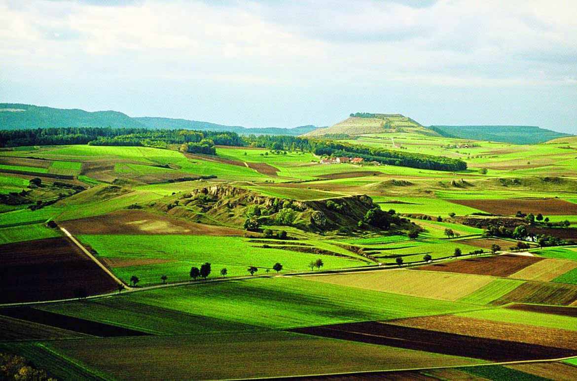
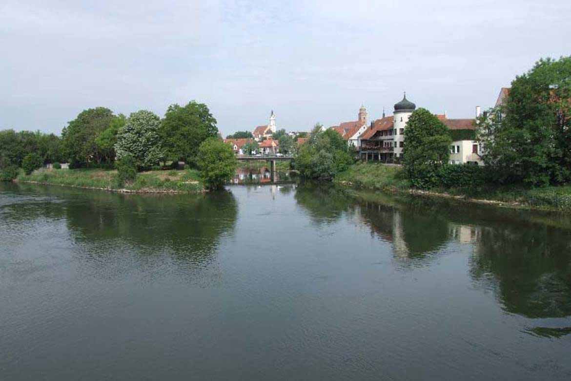
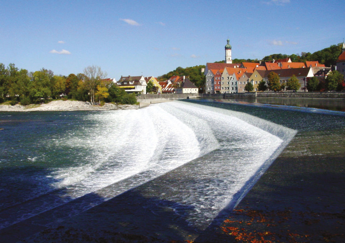
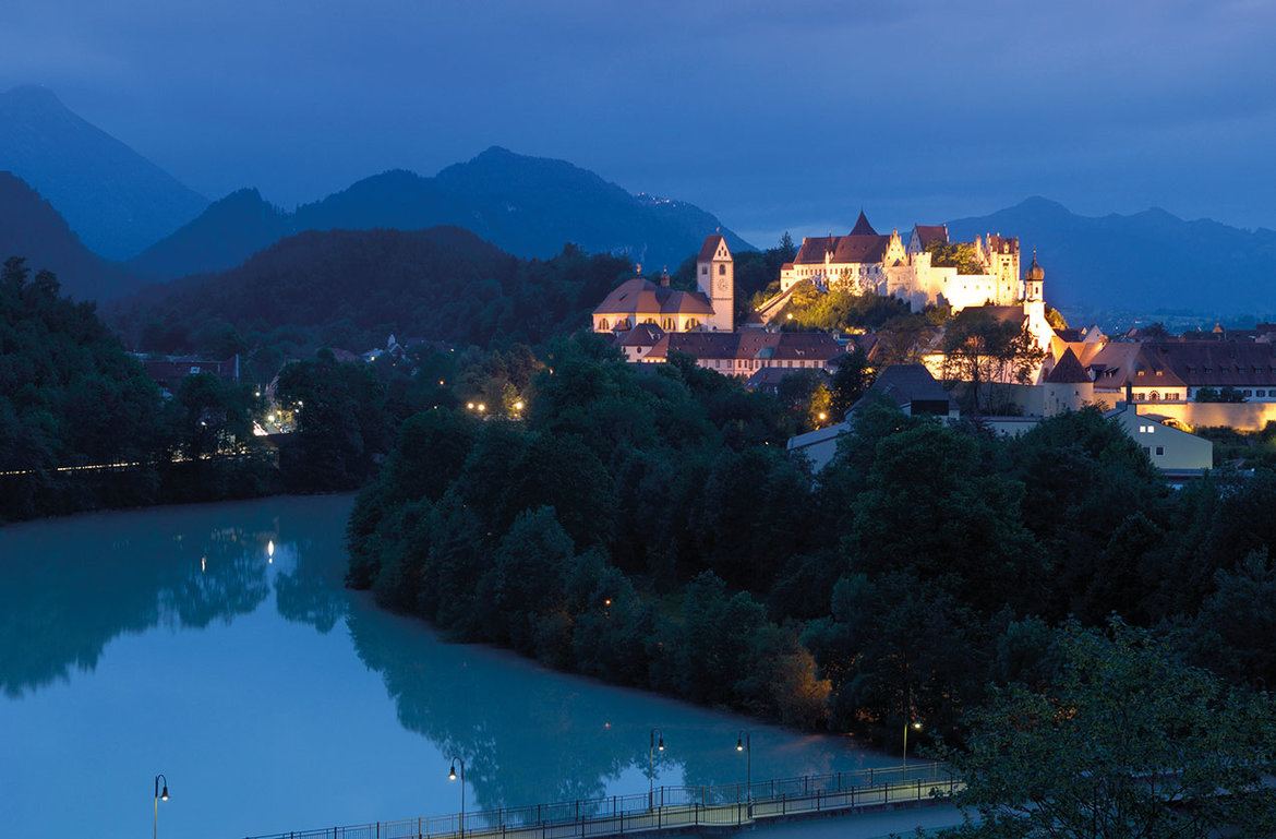
Landscapes: Nördlinger Ries Crater and the Danube > Donauwörth (town) > Lechtal valley and Lech floodplains > Augsburg (city) > Lechfeld > Landsberg am Lech (town) > Fuchstal valley and Lechrain region > Schongau (town) > Pfaffenwinkel region > Aubergland municipalities > Ostallgäu district > Forggensee lake > Füssen > castles of the Allgäu


Tiroler Lech Nature Park > Vils (small town) > Reutte (market town) > Burgenwelt Ehrenberg (castles) > Plansee and Heiterwanger See lakes > Zwischentoren > Mähberg > Tiroler Zugspitz Arena > Natura 2000 Area: the Fernpass landslide landscape with seven lakes > Gurgltal valley > Imst (town) > Oberinntal valley > Landeck (town) > Tyrolean Oberland > Kaunertal valley > Graubünden/Grisons (CH) > Nauders on the Reschenpass


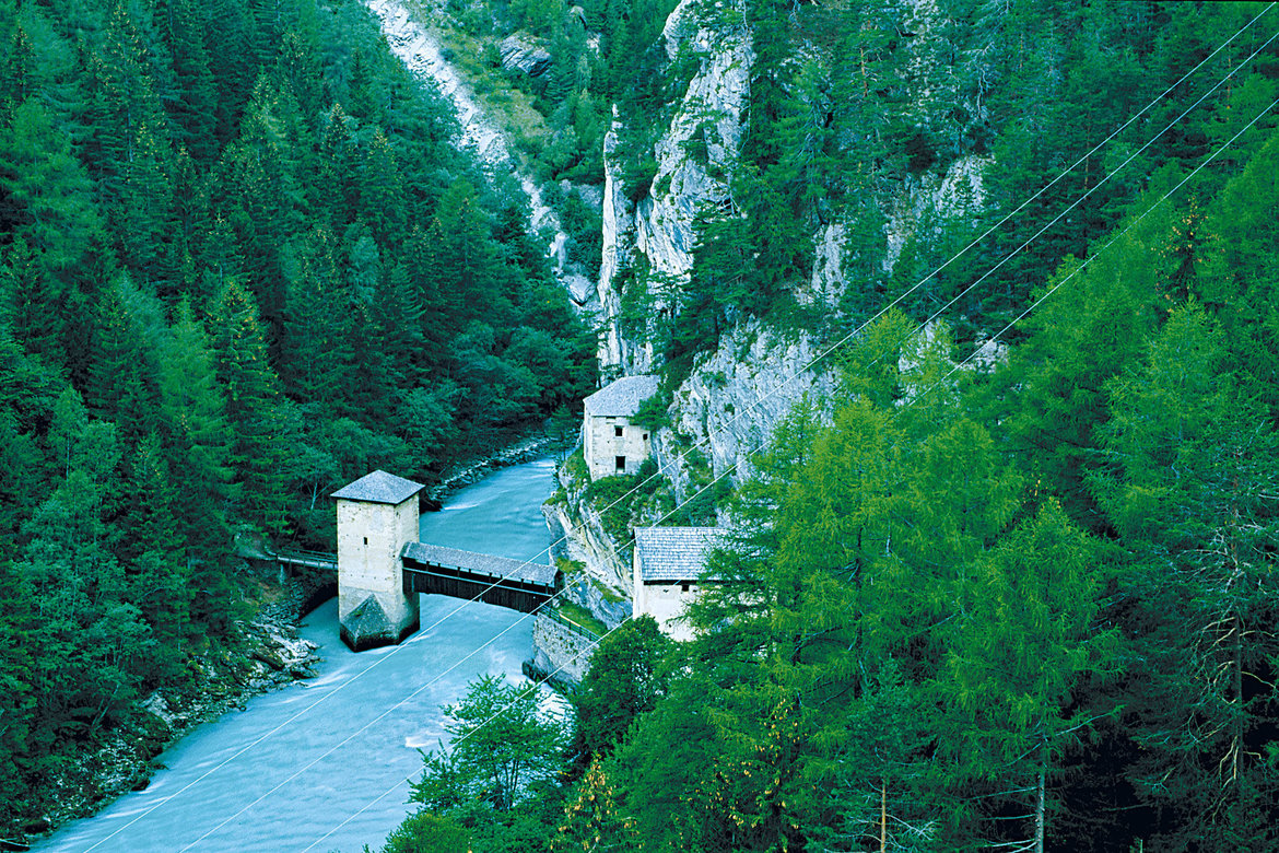
The Etschtal valley between the Reschenpass and Trento (South Tyrol, Trentino):
- Sections 20 - 31
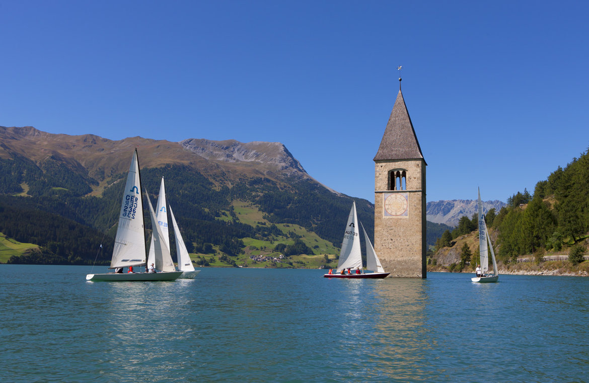
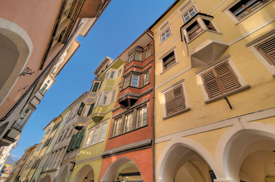
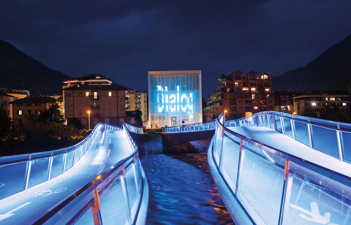
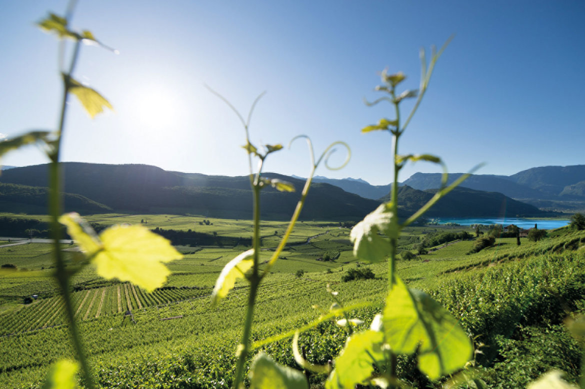
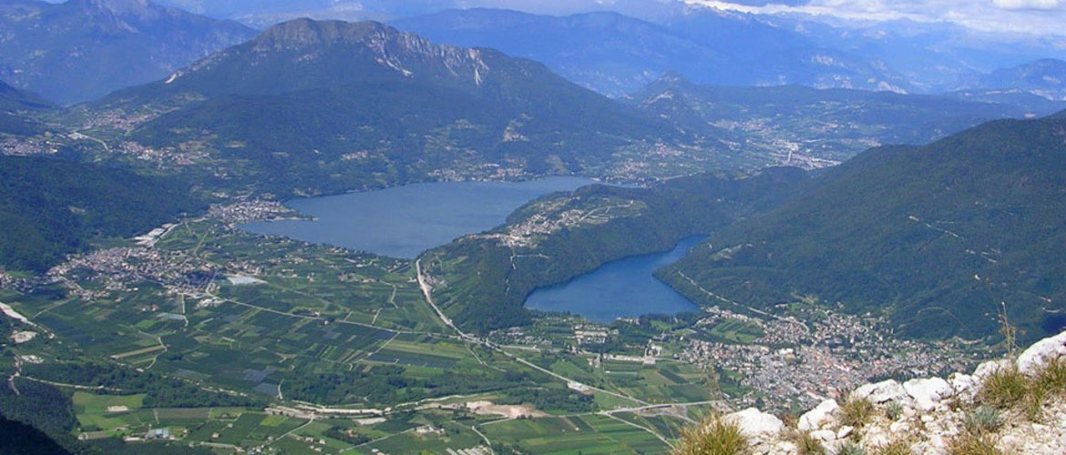
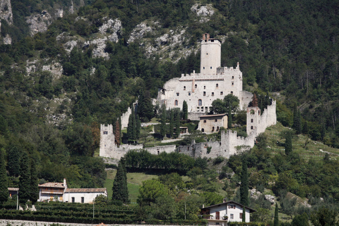
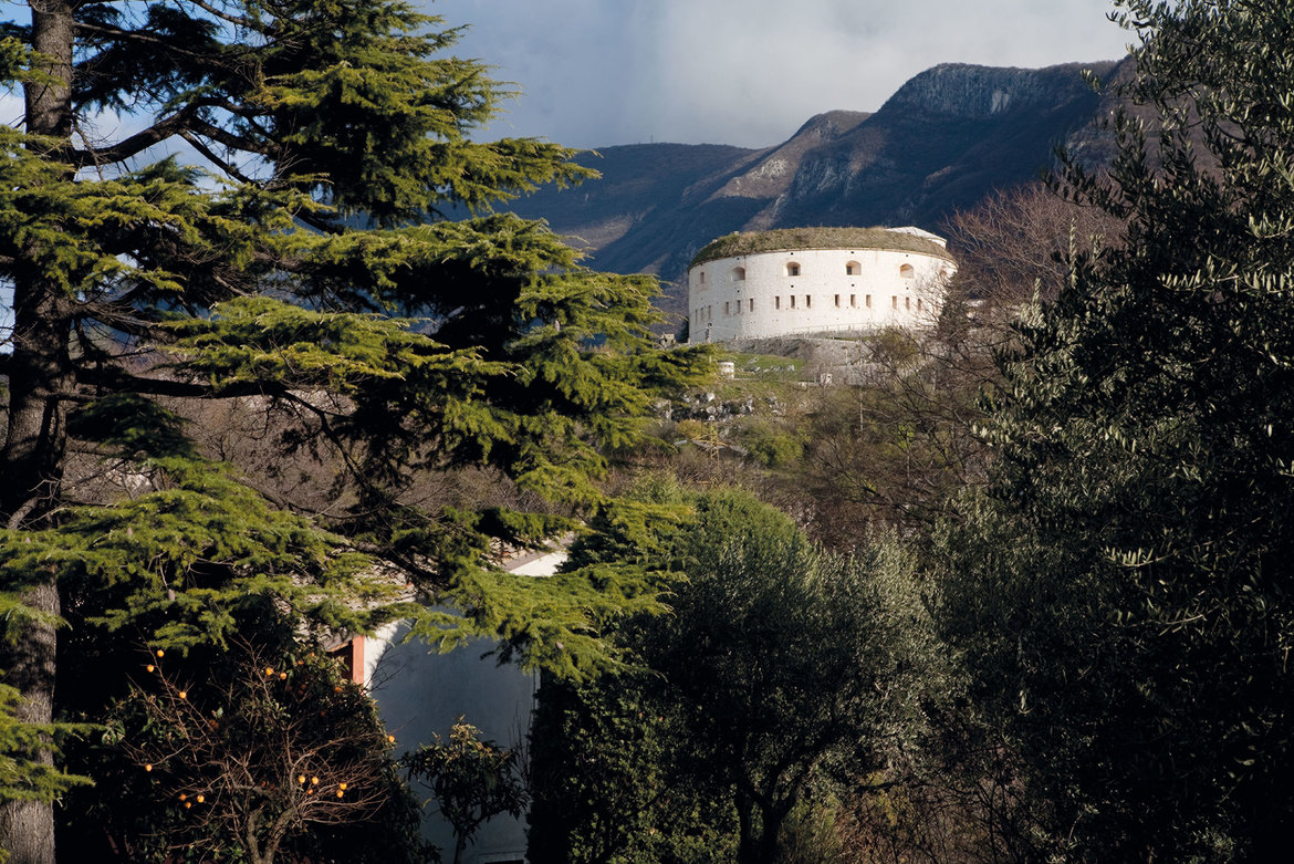
Reschenpass, Reschensee and Haidersee lakes > Mals/Malles heath > Upper Vinschgau valley > Sonnenberg mountain > Lower Vinschgau valley > Töll/Tel > Meraner Land > Burggrafenamt > the provincial capital of Bolzano/Bozen > South Tyrolean Wine Road > Kalterer See lake > Castelfeder > Salurner Klause > Piana Rotaliana > Val di Cembra and the Pinè plateau > Trento, Monte Bondone and Valle dei Laghi


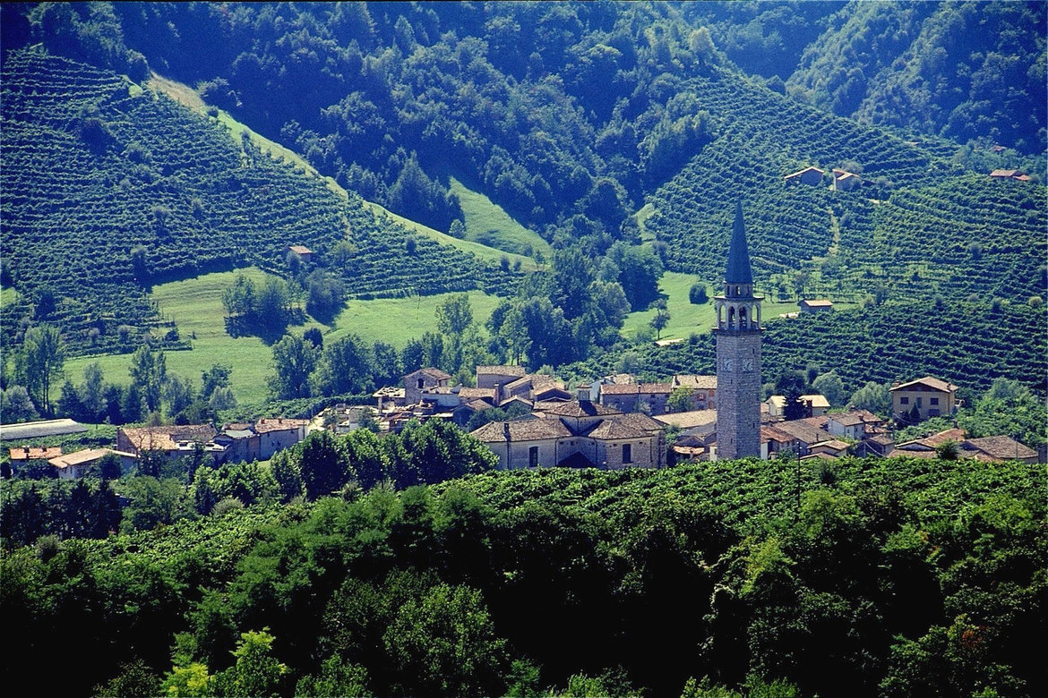
The ‘Altinate’ version of the Via Claudia Augusta from Trento to Feltre and Altino near Venice
- Sections 31a(ltinate)–41a(ltinate)
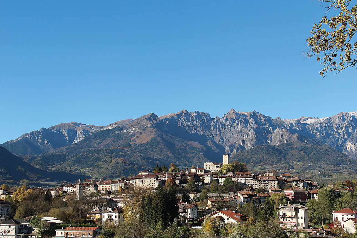
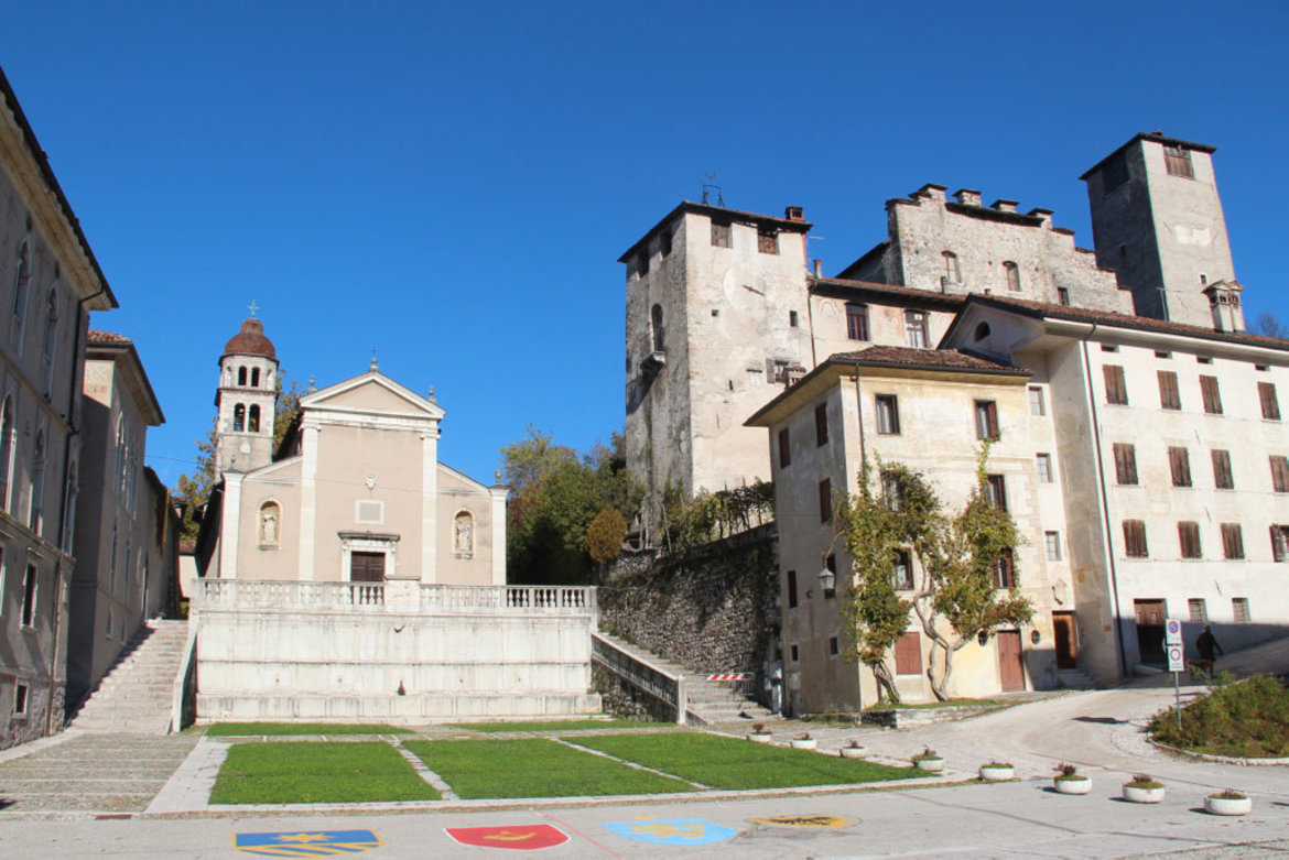
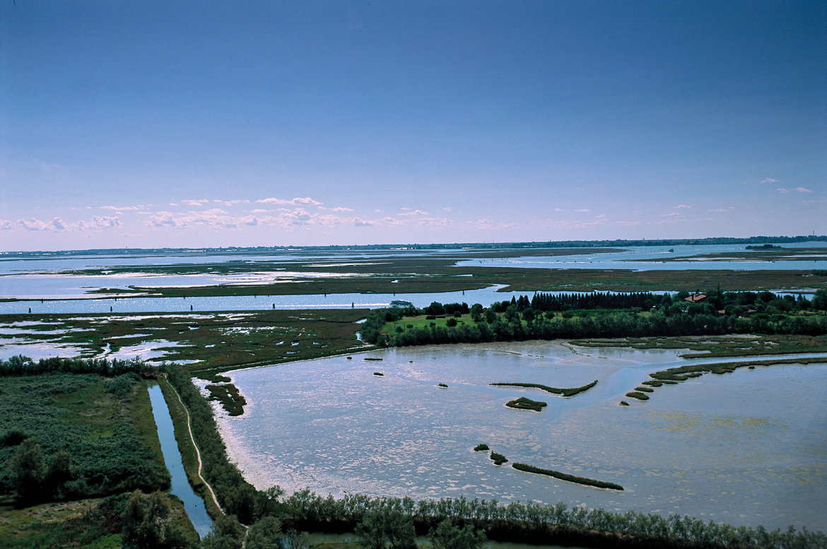
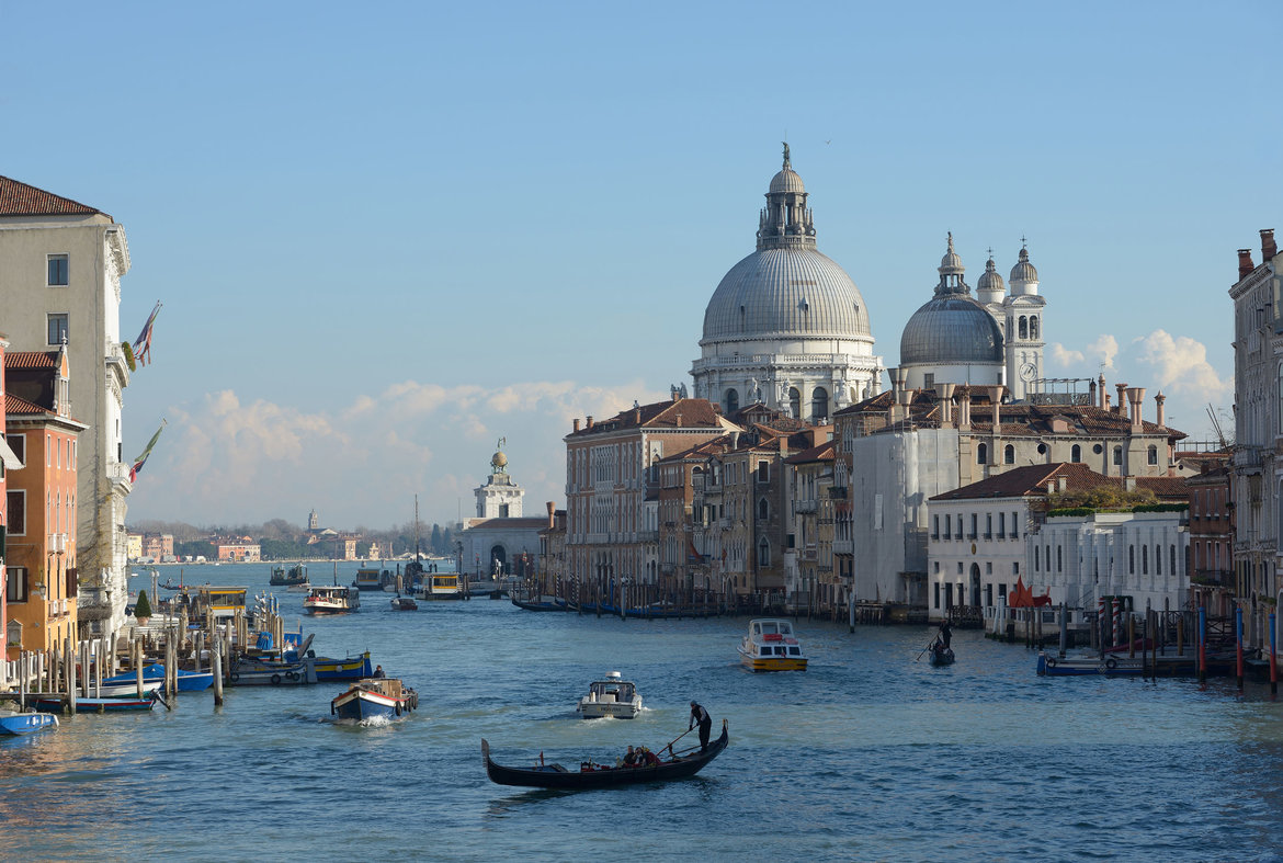
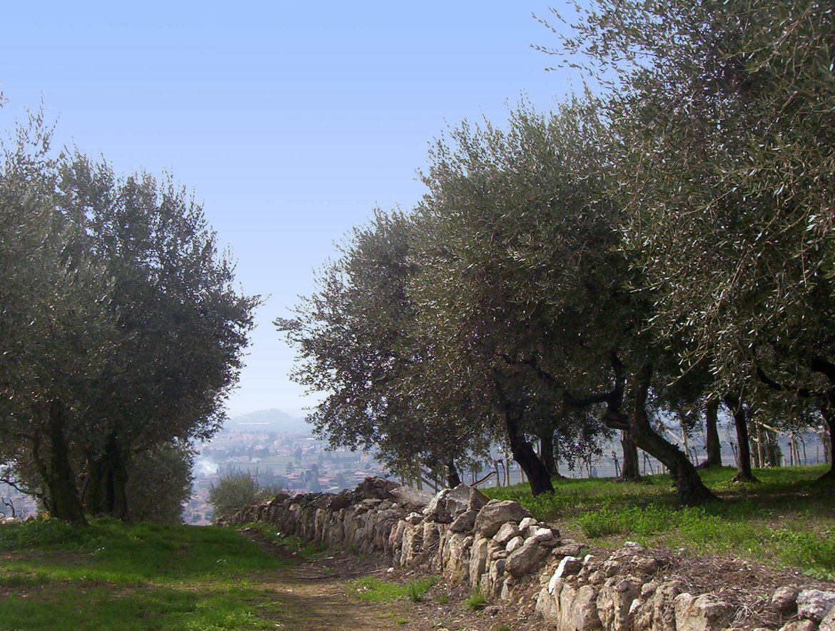
Ecomuseo Argentario > Val di Cembra and Pinè > Upper Valsugana > Media Valsugana > Val di Sella > Bassa Valsugana > Tesino Plateau > Senaiga Valley > Lamon and Sovramonte at the gateway to the Dolomiti Bellunesi National Park > Feltrino > Feltre (town) > Valbelluna > Praderadego Pass > Strada del Prosecco > Alta Marca > Montello and the hills of Asolo > the right shore of the Piave river > the provincial capital of Treviso > Sile Nature Park > Venice Lagoon > Jesolo (spa town) > the regional capital of Venice and Mestre


The ‘Padana’ version of the Via Claudia Augusta from Trento to Feltre and Ostiglia on the Po river
- Sections 31p(adana)–39p(adana)
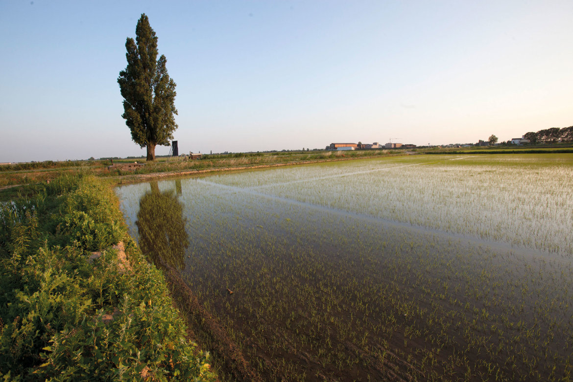
Northern Vallagarina > Rovereto > southern Vallagarina > Monte Bondone > Lago di Garda > Valpolicella > the provincial capital of Verona > Pianura Padana > Ostiglia > Po > Padovano > Oltre Po


Frequently Asked Questions (FAQ)guide trekkingalloggi adatti ai viaggiatori a piedipacchetti trekkingArrivo e partenza in trenoparcheggio gratuitoNavetta Italy > Germany
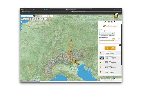
On this map, the historical route, the hiking route and all other content have been pre-selected. You can see all pre-selected content by zooming in on the map. To select content individually or plan a long-distance hike, click the orange bar underneath this text.


