


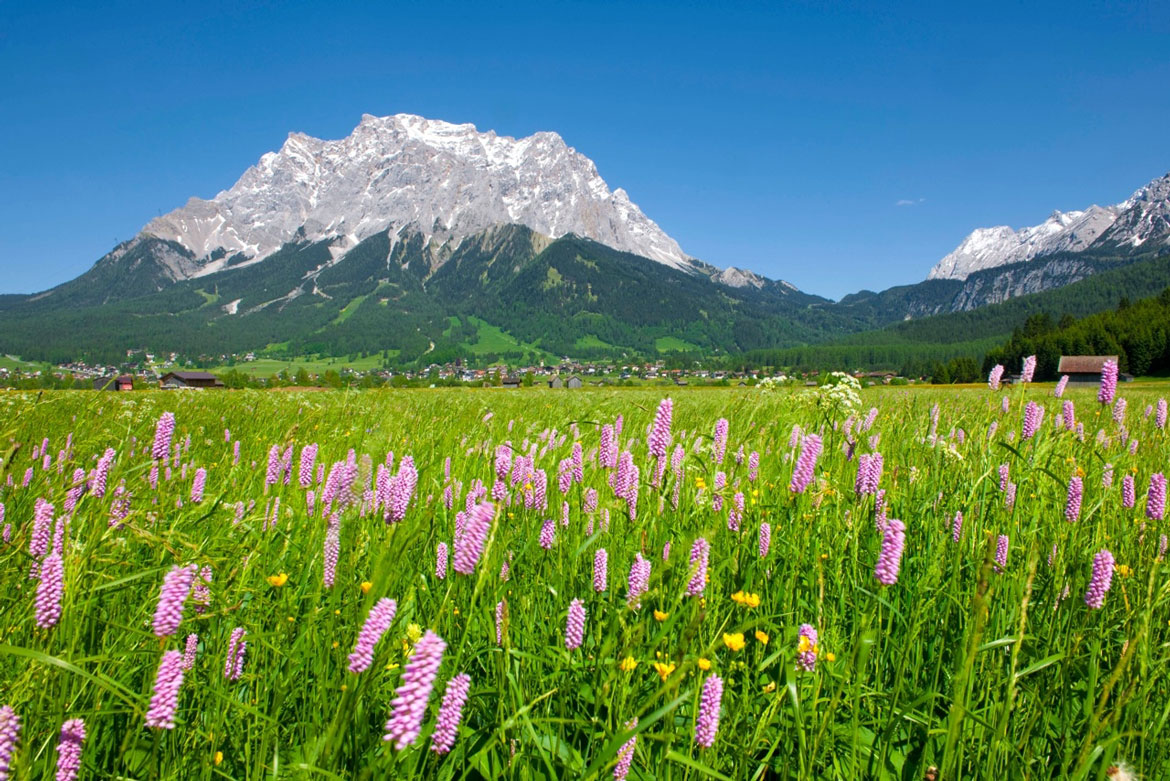
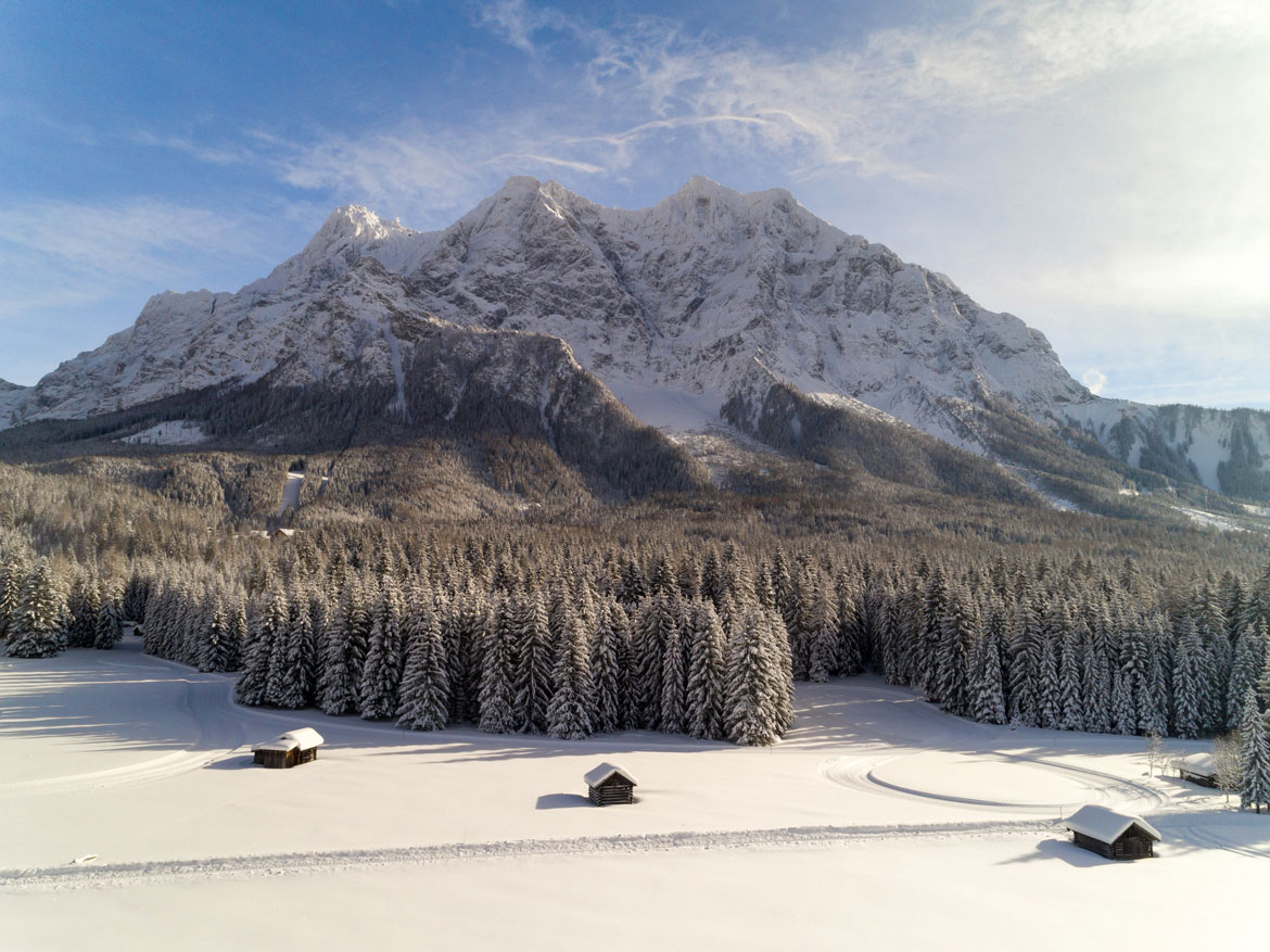
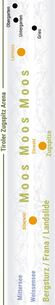
As a border mountain, the Zugspitze, Germany's highest peak, lies between Germany and Austria. It can be reached from both the German and the Austrian side. From Ehrwald, the Tyrolean Zugspitze Railway leads to the western summit of the Zugspitze. The tyrolean Zugspitz Area is located on the Austrian side, in the tyrolean Außerfern, embedded between the mountains Wetterstein with the Zugspitze at the north and the mountains Mieminger at the south.
Area of the tyrolean Zugspitze

Ehrwald, Lermoos, Berwang, Bichlbach, Biberwier, Heiterwang am See, Lähn-Wengle and Namlos.
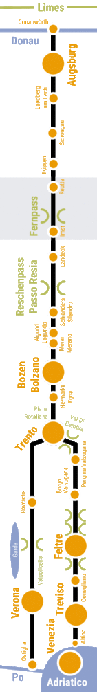
Holiday region Tyrolean Zugspitze
Homepage Tyrolean Zugspitze Railway
4 maps through the millennia
3 maps show what the region looked like at different times in history, and one map shows how and where you can explore the Via Claudia Augusta, the history and other special features of the region. "4 maps through the millennia" are available successively for all regions along the Via Claudia Augusta.
Webcams Events Interactive map Guest card Youtube-Channel Hosts

Holidays / Excursions
in the tyrolean area of the Zugspitze
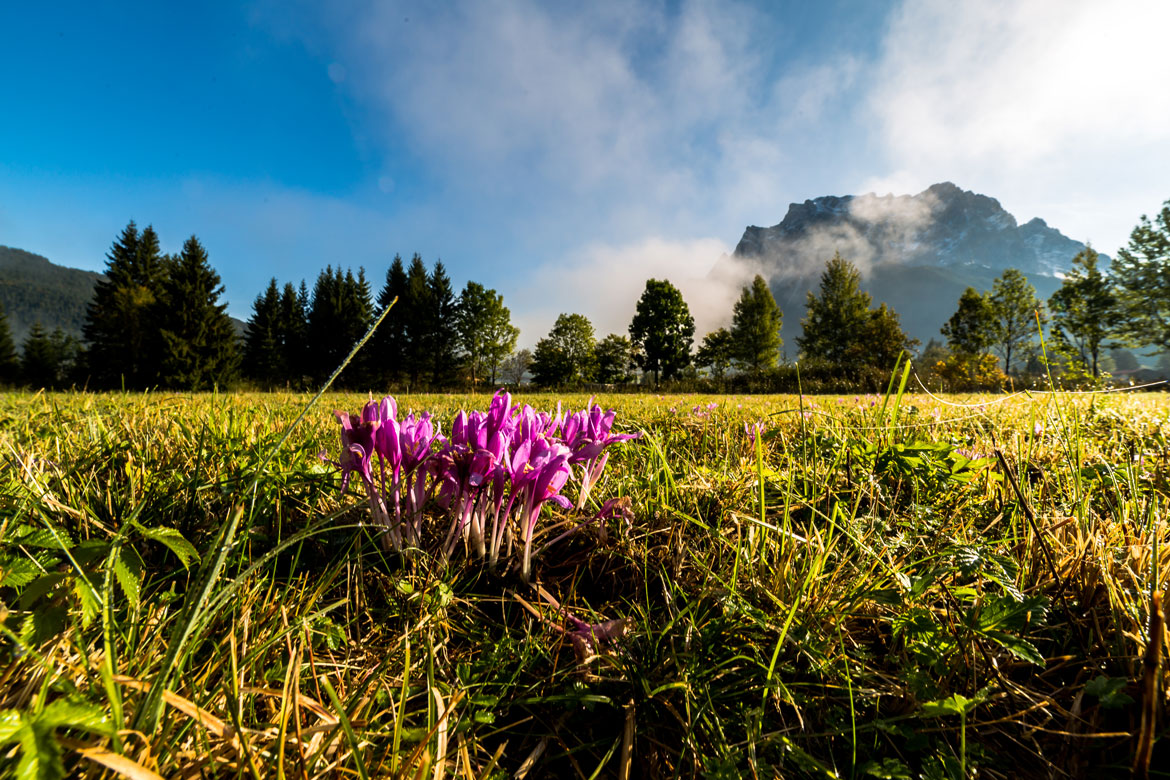
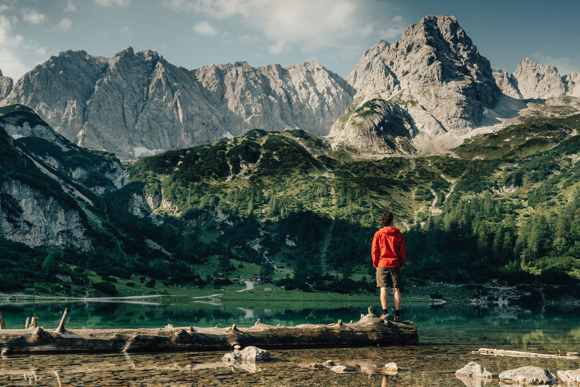
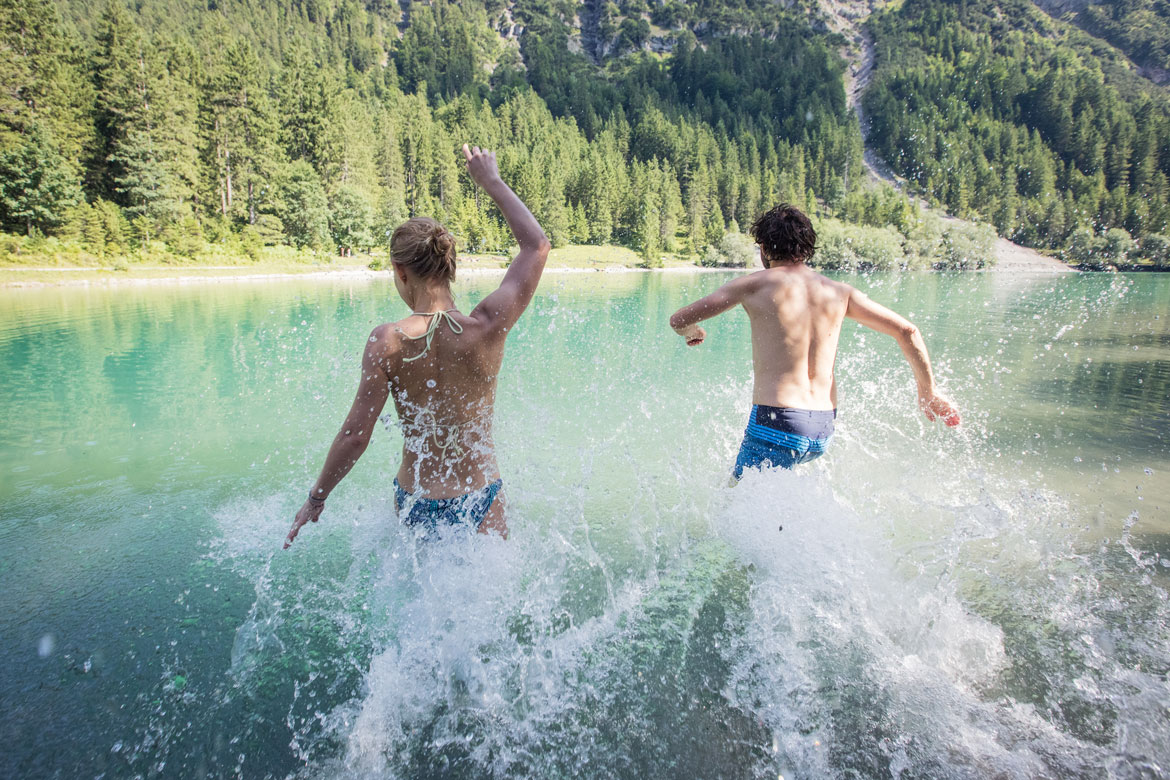
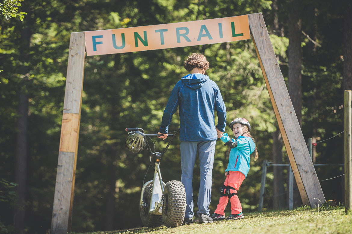
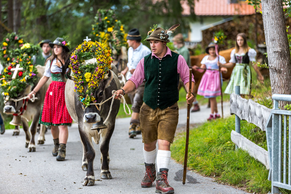
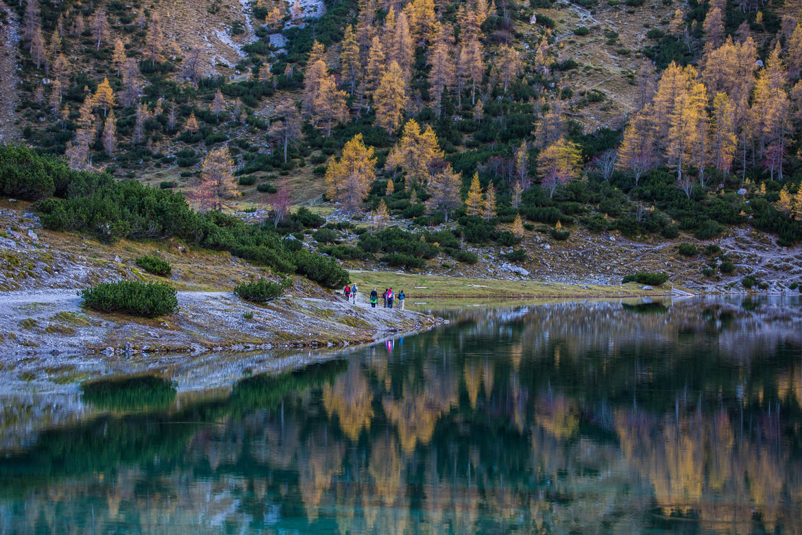
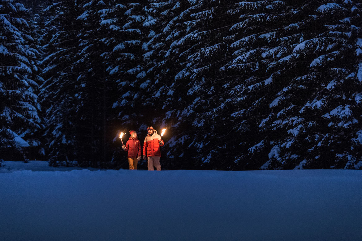
The Tyrolean region around Germany's highest mountain is an area for all those who are active, seek relaxation and want to enjoy nature. When the 10,000 fireplaces light up the mountains of the Tyrolean Zugspitze Area at the solstice in June, it is the traditional highlight of the summer. In the charming villages, tourists will not only find genuine Tyrolean flair, but also a variety of ideas for the summer: 150 km of hiking routes of varying degrees of difficulty between striking peaks; mountain schools offer hikes at altitude and in the valley, theme walks at sunrise and sunset, orchids, waterfalls, ... 100 km of cycle paths and mountain bike routes; 7 e-bike rental stations and many charging stations; trails from the moderately difficult Grubigalmtrail to the flowing and steeper Blindsee trail; MTB-Guiding, Skill Area for training and Pump Track for playful bikers; downhillers are also catered for; climbing for everyone on 160 climbing routes and in the climbing hall; paragliding allows you to view the Zugspitze from above, alone or in tandem; ... And the little ones? Are in good hands with an exciting holiday programme for the whole family. Inexpensive leisure activities and toll-free travel via the Munich - Garmisch-Partenkirchen or Ulm - Füssen motorways are an additional plus.
Spring, Summer, Autumn, ...


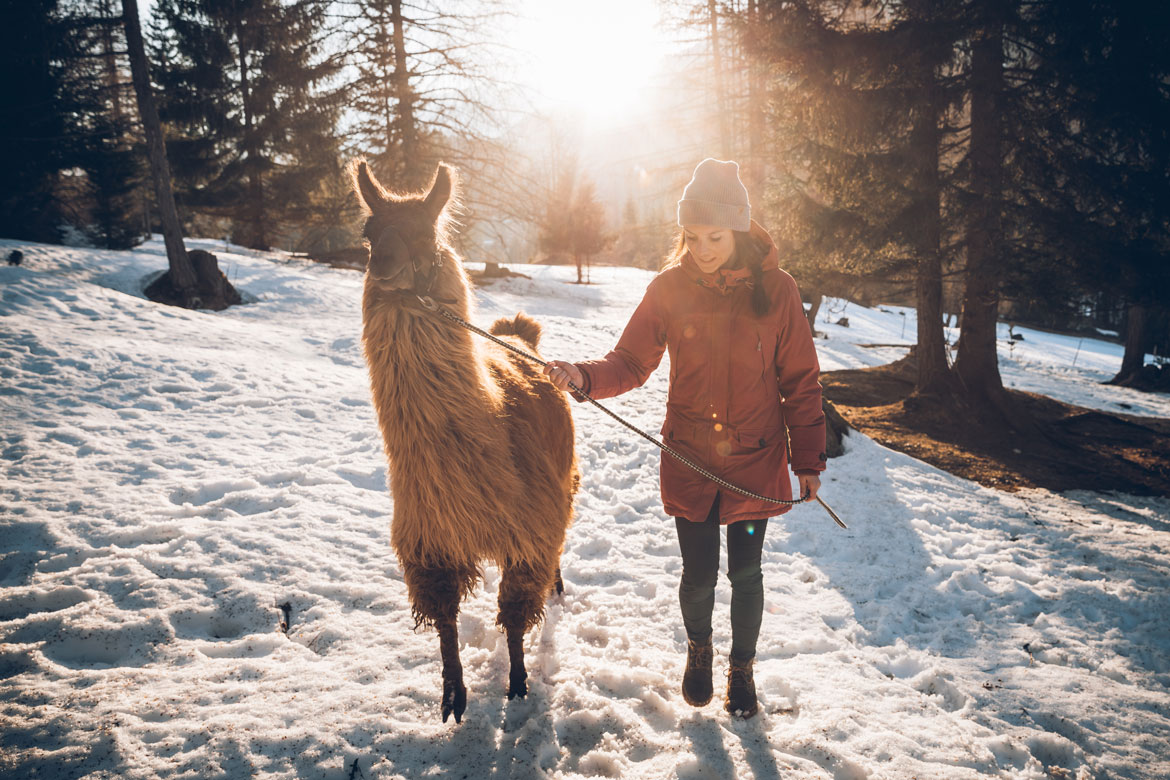
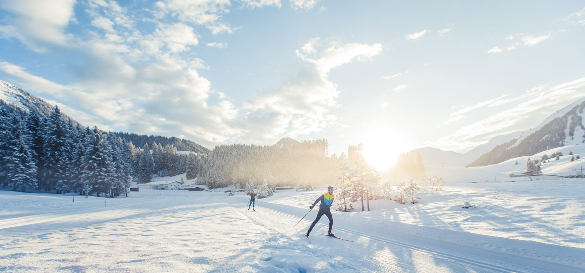
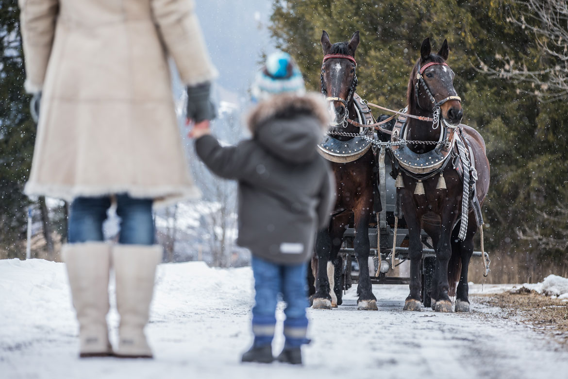
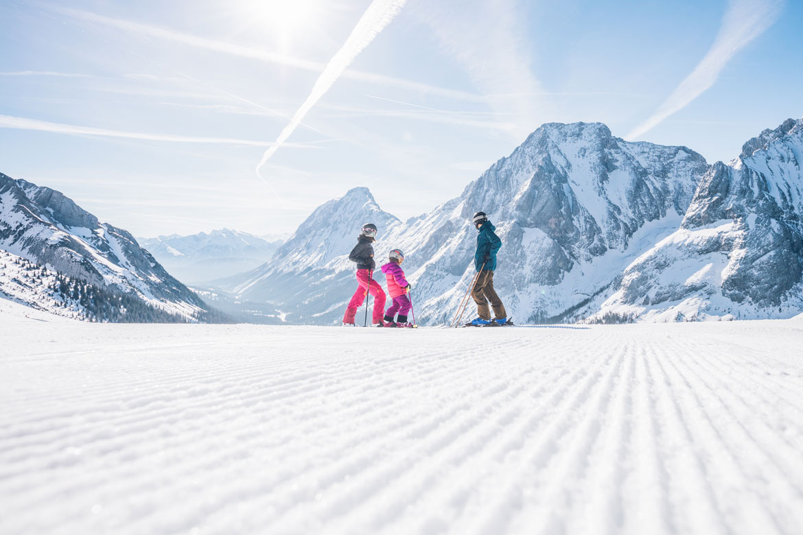
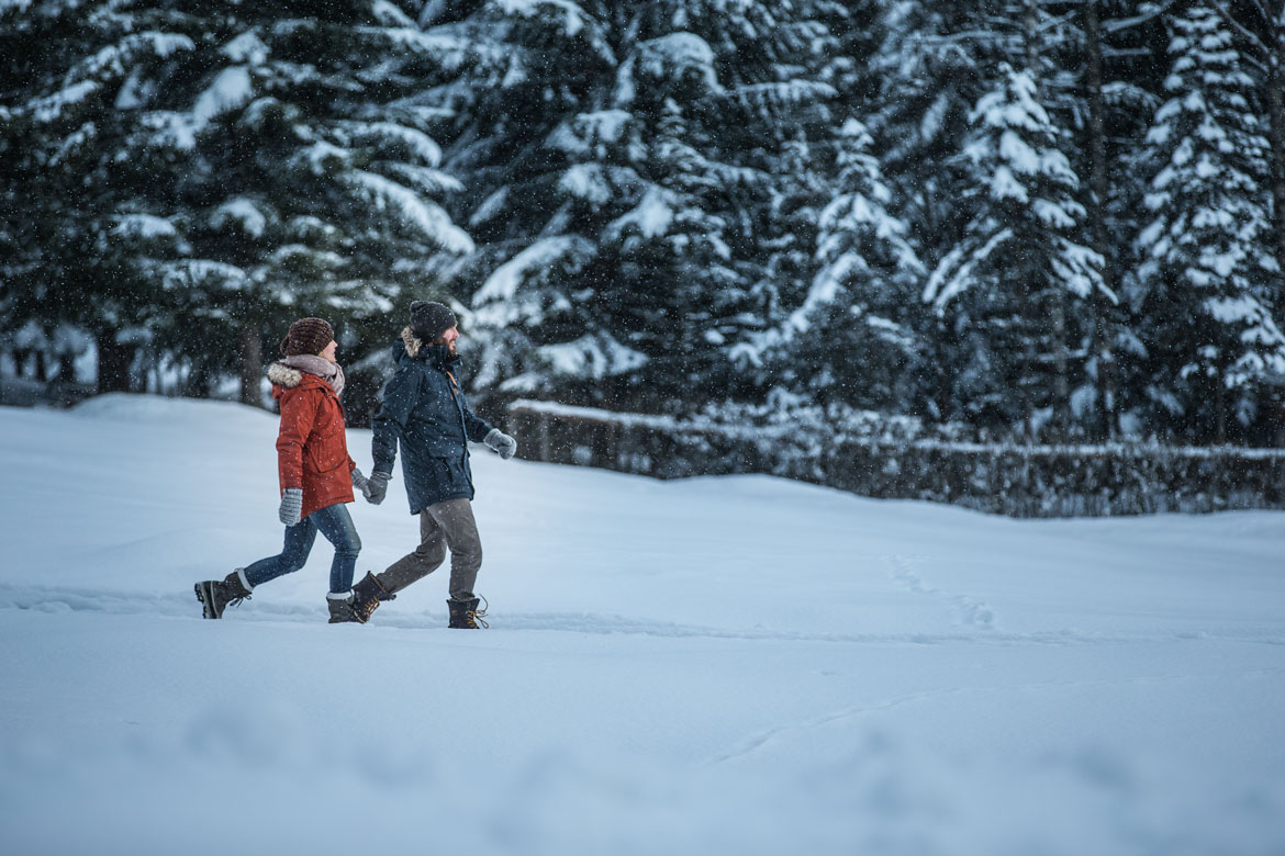
... and some winter impressions


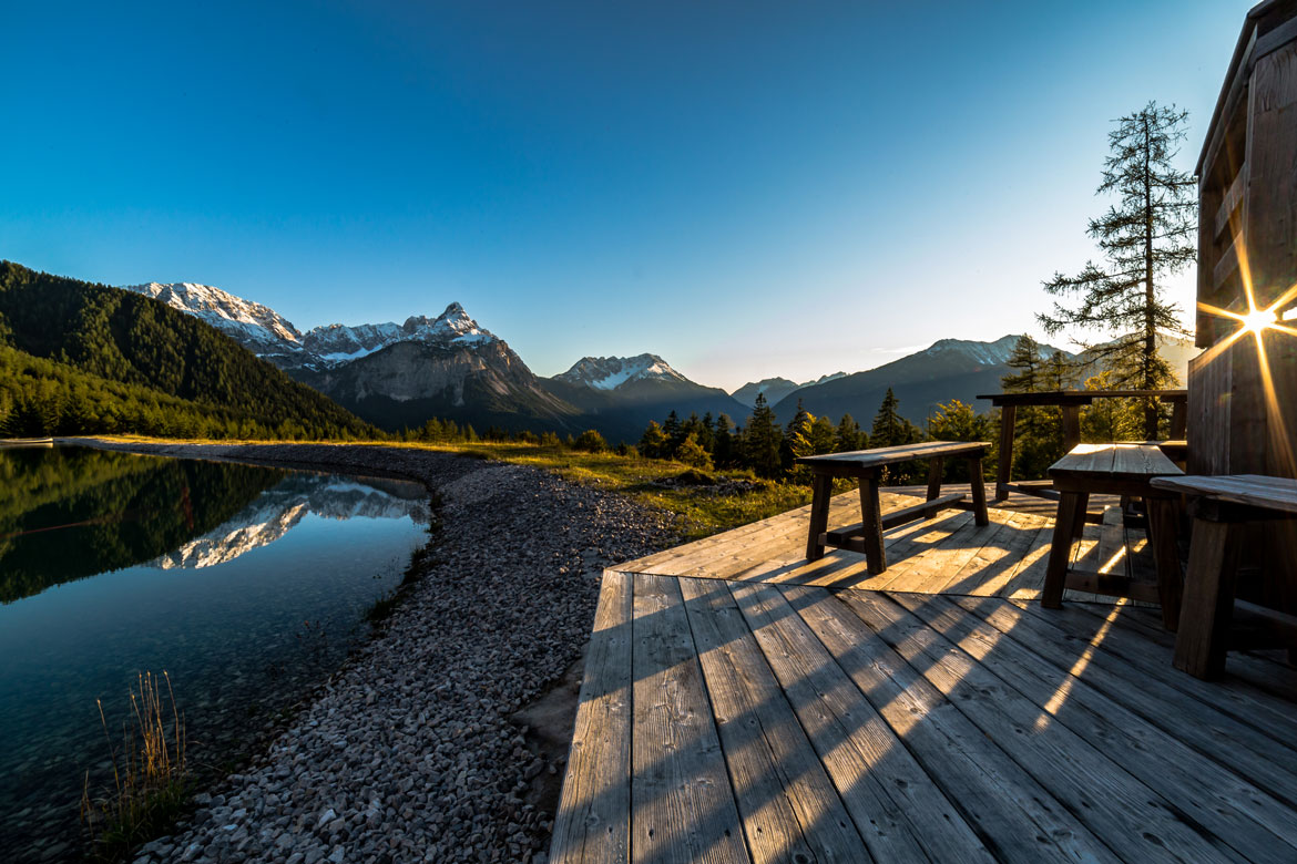
At the foot of the Zugspitze, tourists will find the winter holiday they are looking for - and a panorama that can easily compete with the great mountain massifs of the Alps. The Tyrolean Zugspitz Area is versatile, varied and contrasting. But it's not just sports, adrenalin and action that are waiting for active tourists here. Recreation, peace and quiet and gentle tourism are also offered on the Tyrolean side of the Zugspitze massif. Divided into the more sporty and pulsating part with the villages Ehrwald, Lermoos and Biberwier and the more pristine and rather gentle part with Berwang, Bichlbach and Heiterwang am See, the region offers a wide range of winter activities: Skiing on Germany's highest mountain and several other ski areas in one go; cross-country skiing on 110 kilometres of varied trails for classic and skating as well as for sportsmen and sportswomen and connoisseurs; 60 kilometres of cleared winter hiking trails; snowshoe hiking in the middle of nature; evening tobogganing on the slopes or on toboggan runs; co-pilot in the Pisten-Bully; and much more.


Text of the historical map of ...
400 AD
Masterful roads
The aim of the Roman road builders was to construct the quickest route from the Adriatic and the Po to the limes. Even in Tirol the Via Claudia Augusta therefore only has four hairpin bends. Nevertheless, the ffiirst trans-European road has a relatively constant incline even over the challenging sections across the passes. Another outstanding feat is the section on 1,000 tree trunks across the ‘Moos’ wetland habitat between Lermoos, Ehrwald and Biberwier, near to which two settlements were located – one in Ehrwald that already existed before the arrival of the Romans and continued to exist during the Roman era, and one founded by the Romans in the area surrounding the road station in Biberwier, immediately in front of the Fern Pass.
1599
Living from the road
While the Roman road was sustained by the fiffiirst European single market with no customs or tolls, the era of the salt road was shaped by the transport of goods. The local residents had the exclusive privilege of transporting certain goods such as salt from one place to the next. The population along the route benefiffiited from both of these systems. The population of Zwischentoren, the area between the Ehrenberg and Fernstein gates, is thought only to have become properly aware of this when the Arlberg Pass was made navigable again. As the traffiffiic shifted away, they became desperately poor. After meeting to say farewell at Austria’s only guild church in Bichlbach, many people from the Ausserfern district were forced to move as building workers to the neighbouring regions to the north. Children also moved away as ‘Swabian children’.
1926
Further development
A new wave of development started in the second half of the nineteenth century from Zwischentoren, the area between the two gates of Ehrenberg and Fernstein through which the Fern Pass road passed until 1856. It was then that today’s road was built. In 1913 the Ausserfern railway was extended that had previously terminated in Reutte. As an alternative to the completed route via Garmisch and on to Innsbruck, there was also talk of a line across the Gaistal, Leutasch and Seefeld. Furthermore, there were plans for a rail link to Imst with a summit tunnel through the Fern Pass of the sort currently being planned for cars. The Tyrolean Zugspitze Railway was one of the fiffiirst mountain railways and promot

This map shows the historical route of the Via Claudia Augusta in Roman times.

In this map we show you how to cycle the Via Claudia Augusta from north and also from the south of the region.

In this map we show you how to hike the Via Claudia Augusta from north and also from south of the region.

For information on holidays in the region, please contact
Tourist information of the Tyrolean Zugspitz Arena
www.zugspitzarena.com
Oberdorf 5, 6611 Heiterwang am See
Election 31a, 6621 Bichlbach
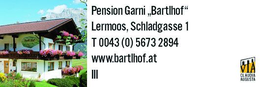
Unterdorf 15, 6631 Lermoos
Church square 1, 6632 Ehrwald
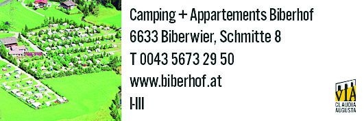
Highway 27, 6633 Biberwier
info@zugspitzarena.com
0043 5673 20000
An overview of the region along the Via Claudia Augusta can be found in
ViaClaudiaAugustaInfo
info@viaclaudia.org
0043 664 27 63 555
In this map, we show you the hosts in the region and the camping possibilities along the Via Claudia Augusta.


