


North of the Fernpass, which was in the way of travellers 4000 - 5000 years ago, lies the holiday region Imst. It includes the Gurgltal, which the locals also like to use for local recreation, and a particularly charming part of the Inn Valley, with one of the last floodplains on Tyrol's main river, framed by the peaks of the Wetterstein Mountains, the Mieminger chain, the Lechtal and Ötztal Alps.
Holiday Region Imst
Fernpass, Gurgl and Inn Valley

Die südlich des Fernpasses gelegene Ferien-Region Imst ist nicht nur durch für ihre große Fasnachts-Tradition bekannt.
Internet portal of the region
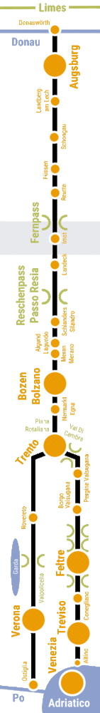
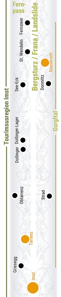
4 maps through the millennia
maps show what the region looked like at different times in history, and one map shows how and where you can experience the Via Claudia Augusta, the history and other special features of the region. "4 maps through the millennia" are available successively for all regions along the Via Claudia Augusta.
Webcams Events Interactive map Holiday Pass Youtube-Channel Hosts
Holiday and Excursions
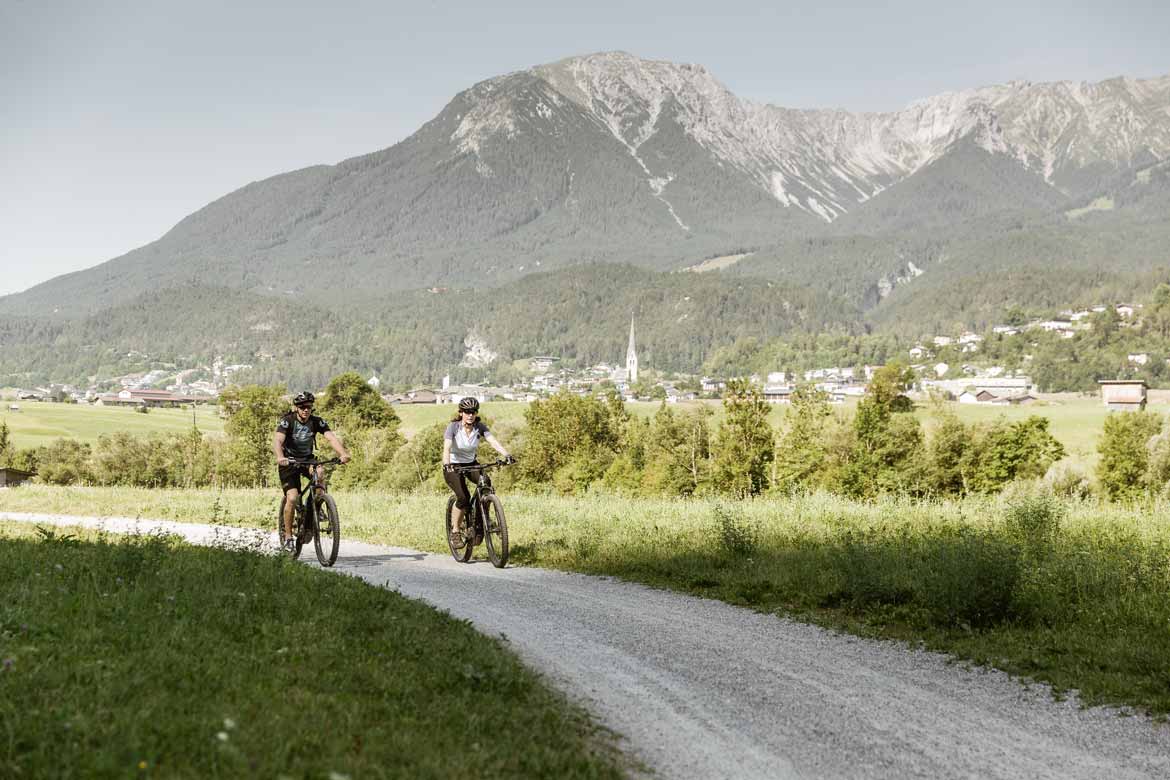
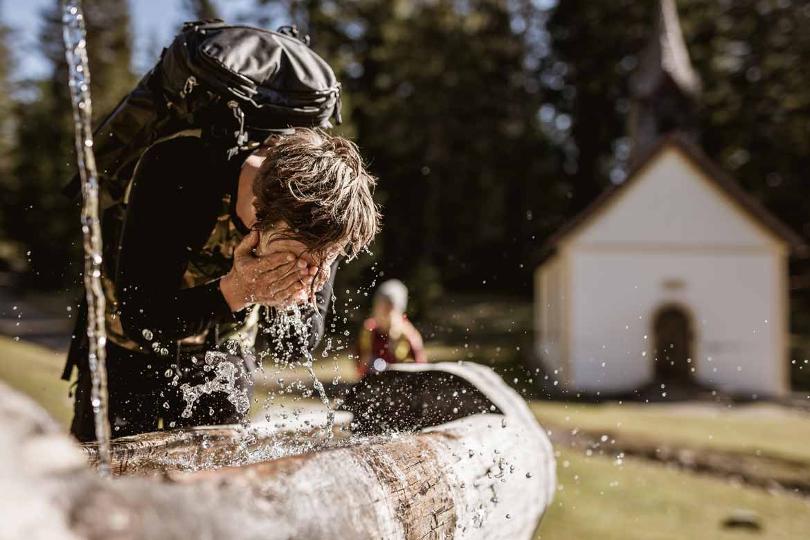
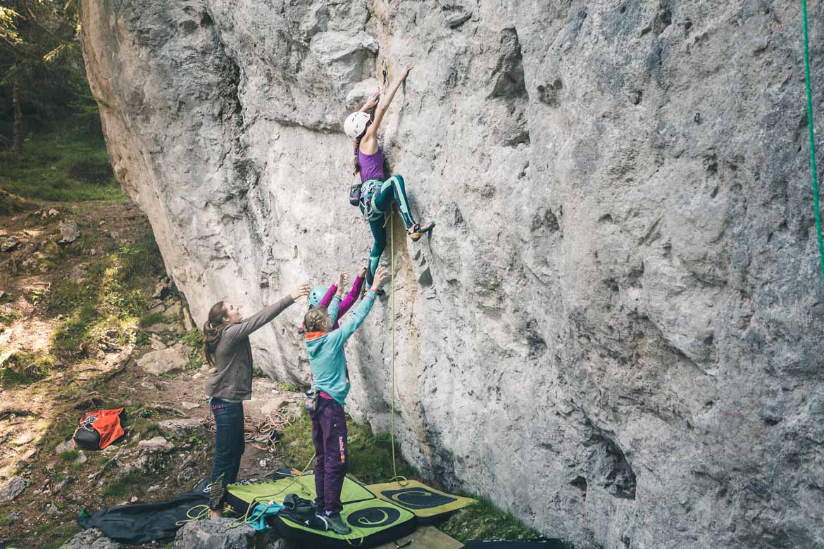
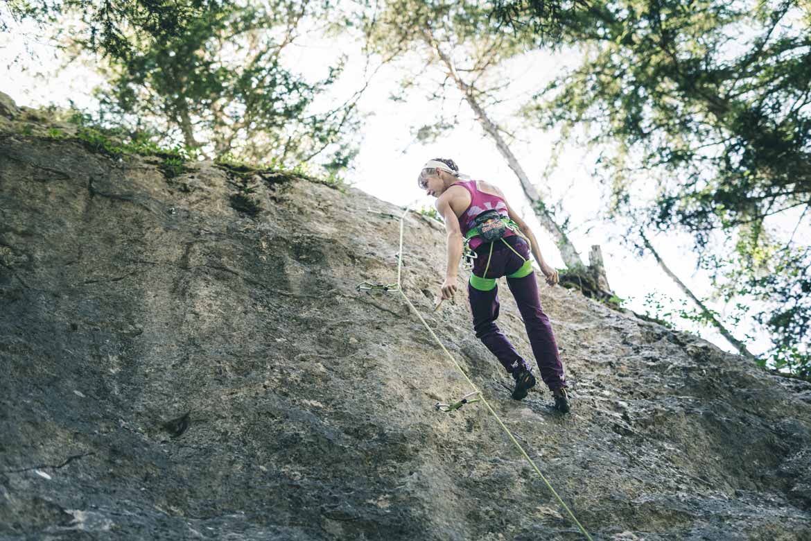
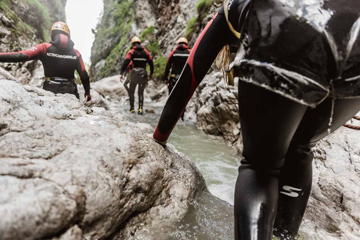
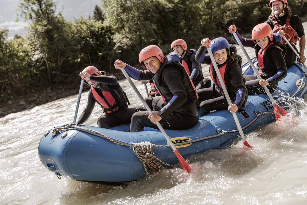
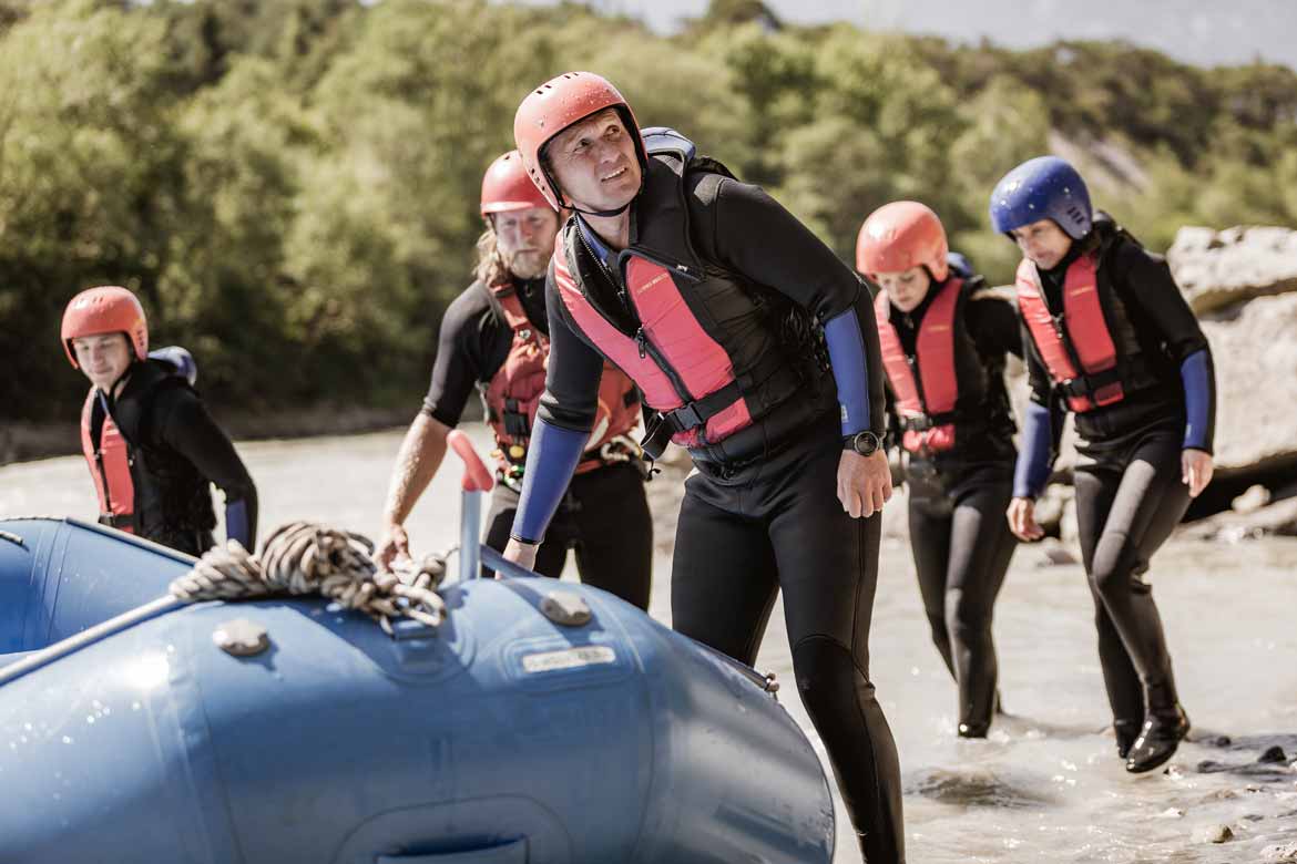
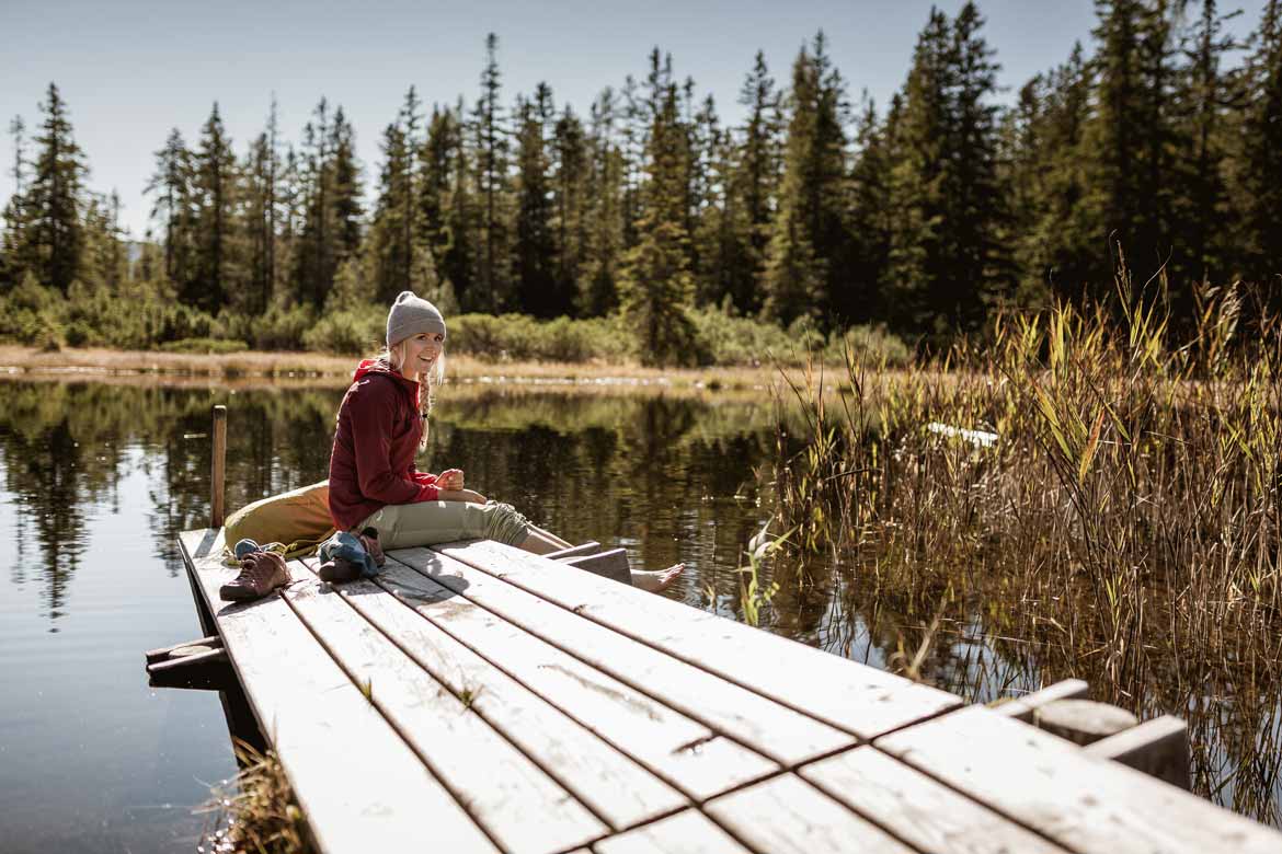
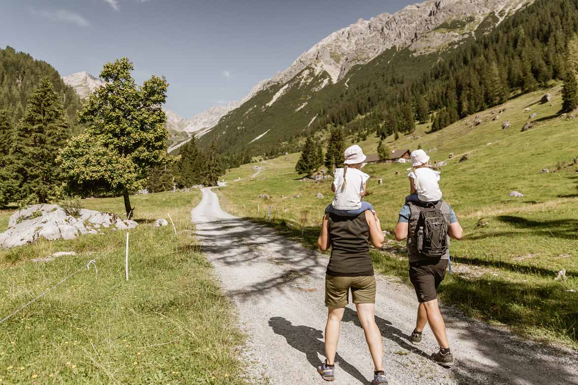
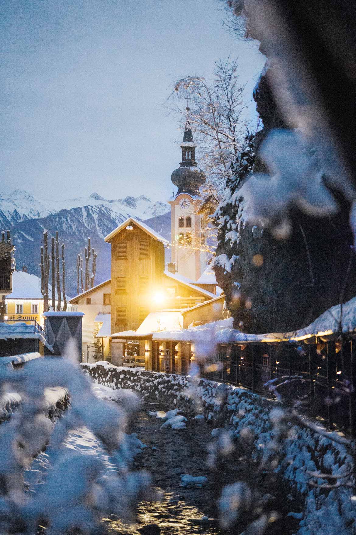
The Fernpass, the Gurgl and Inn valleys and the surrounding mountain world invite you to experience and discover. The Inn cycle path and Via Claudia Augusta criss-cross the region and are linked by the Tschirgant circuit. The Starkenberg Panorama Trail links up with the neighbouring region of TirolWest in the footsteps of the influential knightly dynasty. Hiking trails and mountain bike routes take you up into the mountains, to mountain pastures and summits. Imst has probably been the largest town along the Tyrolean Via Claudia Augusta since Roman times. The town and the picturesque and lively villages around it have their mining history and the great carnival tradition in common, which can be experienced in a miner's world. The region also offers a lot of adventure and thrills: the alpine roller coaster "Alpin Coaster", rafting, canyoing, the biggest outdoor leisure park "Area 47". Last but not least, Imst is regarded as a first-rate outdoor and indoor climbing eldorado.
Spring, Summer, Autumn ...


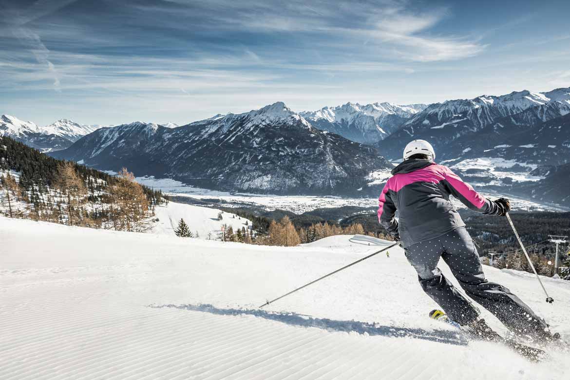
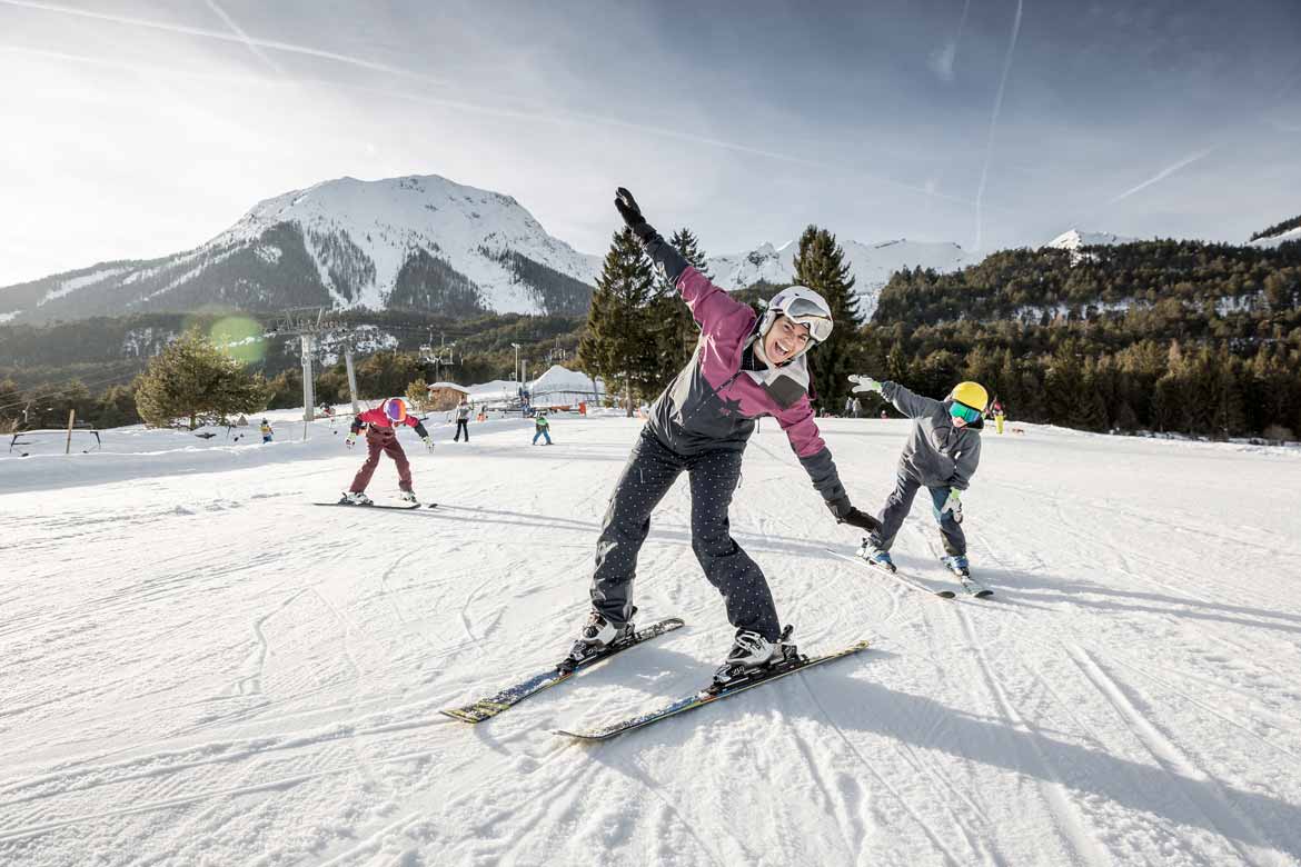
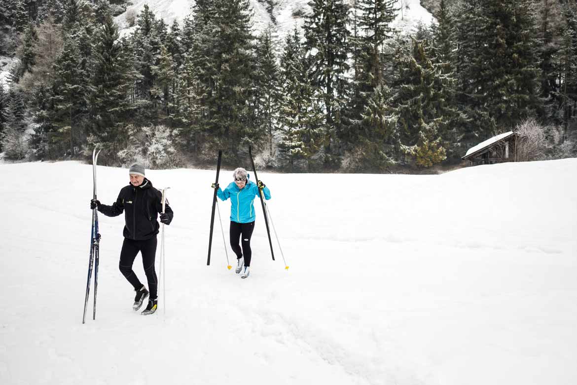
... and some winter impressions


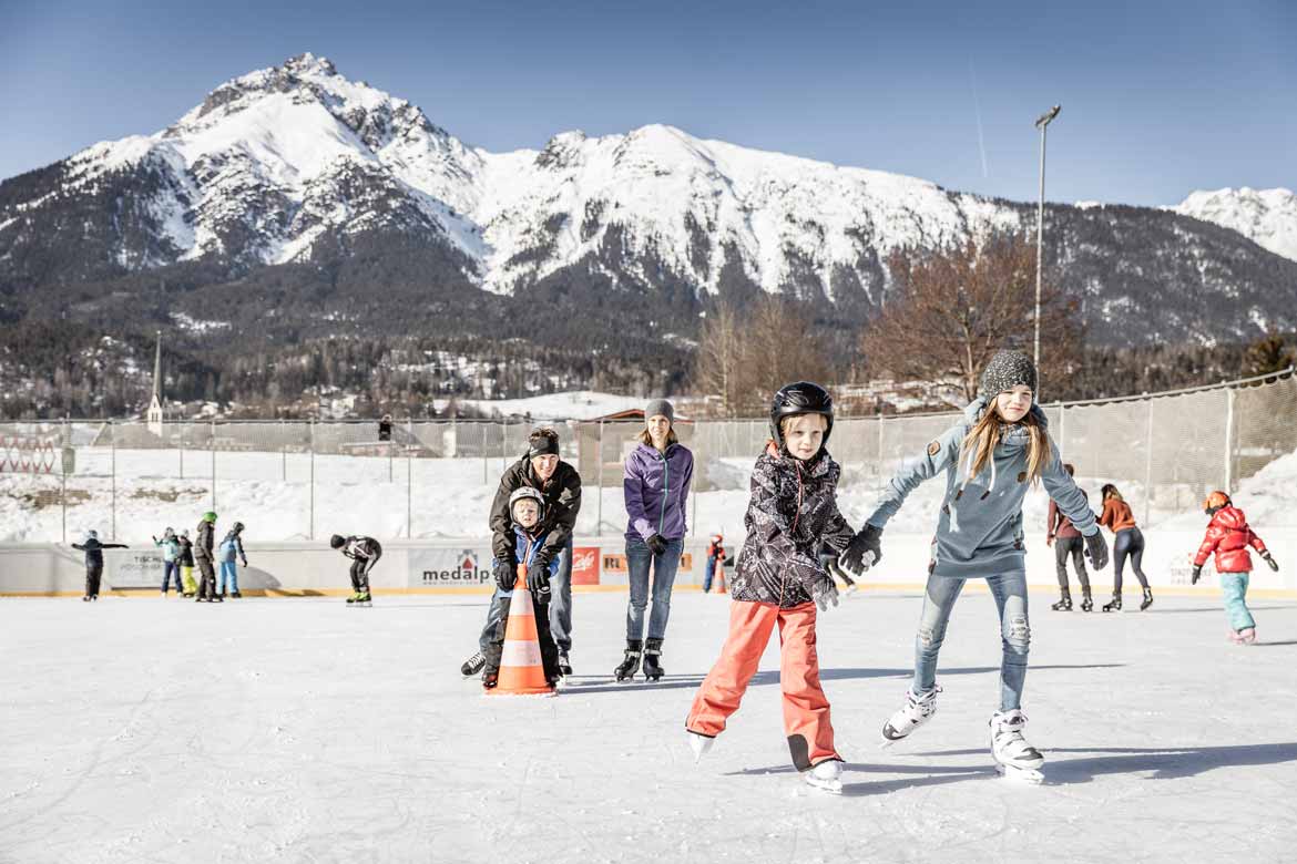
In addition to our own Hochimst ski area, which is especially popular for families, there are a number of large Tyrolean ski areas around the area. The region also offers beautiful and attractive cross-country ski runs and winter hiking trails. Also with a horse-drawn carriage ride and snow-shoe hiking the winter nature can be discovered well. Toboggan runs, ice skating and curling complete the programme.


historical map of ...
100 AD
Old settlement area
There is documentary evidence of “Oppidum Humiste” dating back to 763. Oppidum was a fortifified pre-Roman settlement. Its mention after the Roman era points towards continuous settlement since pre-Roman times that will have been concentrated on the hill above Imst town centre. There are also indications of prehistoric settlement in Dormitz near Nassereith. The Romans established road stations in both places along the Via Claudia Augusta, around which settlements developed. In Imst, which was the most important settlement between Füssen and Merano, this was probably parallel to the pre-Roman settlement. There was also prehistoric and Roman settlement on the sunny slopes of the Tschirgant, in Karrösten and Karres.
1550
Mining stronghold
The area around the Via Claudia Augusta between Biberwier and the Inn Valley was an important mining centre in multiple respects. Signifificant historic mining districts were located in the Mieming mountain range in the east, the Lechtal Alps in the north and on the slopes of the Tschirgant in the south. Numerous tunnel entrances await discovery on close examination particularly in the Wannig rock face above Nassereith. Above all lead was mined as a grey ore for silver mining in Schwaz and Zink. Furthermore, Imst, alongside its importance as a market place and traffic hub, was the seat of the mining court covering an area that reached to the Ausserfern district and Vorarlberg.
1901
Long prevented town
Imst has for thousands of years been the most important settlement between Füssen and Merano and an important traffiffiific hub. It has had market rights since late medieval times and from the fifteenth to the seventeenth centuries it was the seat of a mining court covering an area that reached to the Ausserfern district and Vorarlberg. Had the infflluential lords of Starkenberg not opposed this because Imst would then have been directly subordinate to the territorial prince, the Gurgltal metropolis would have been a town with its own walls for 700 years. Following a ffiire in 1822 to which 206 out of 220 houses fell victim, Imst was rebuilt and ffiinally received town rights in 1898. Imst is also renowned for its bird breeders and dealers.
Basically, the Romans looked for the shortest route for the Via Claudia Augusta. The Roman road therefore ran as straight as possible, usually on the sunny side of the valley, slightly above the valley floor, so that it was not affected by storms and was quickly dry and snow-free again after rain and snowfall. Of course there are exceptions to all rules.
In this map we show you how to cycle the Via Claudia Augusta from north and ftom south of the region.
In this map we show you how to hike the Via Claudia Augusta from north and from south of the region.
In this map we show you how to travel in the region by car, camper and bus, ... the Via Claudia Augusta and its sights to the north and to the south.
Information on the entire Via Claudia Augusta can be obtained from
Via Claudia Augusta Info
www.viaclaudia.org
info@viaclaudia.org
0043 664 27 63 555
Detailed questions about the region are best answered by
Tourist information from TirolWest
www.tirolwest.at
Main square 6, 6511 Zams
info@tirolwest.at
0043 5442 65600
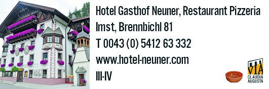
In this map, we show you the hosts in the region and the possibilities of camping along the Via Claudia Augusta.


