


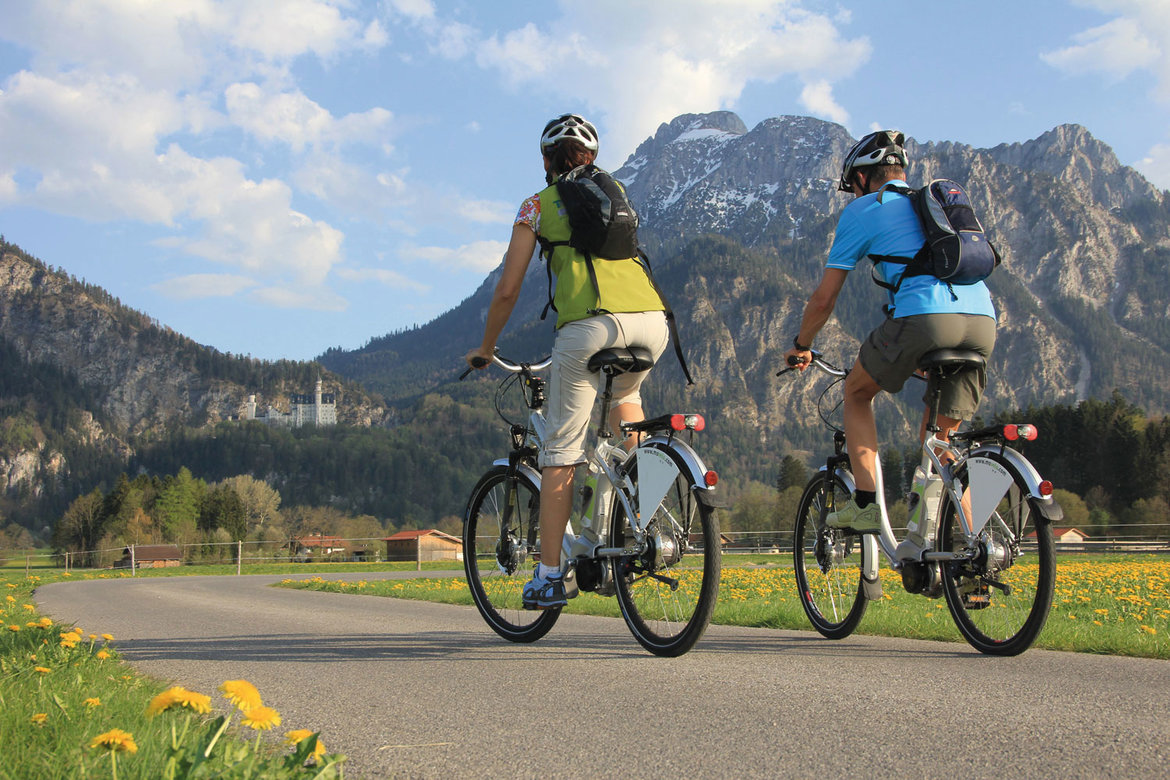
This page introduces the Via Claudia Augusta cycling route with a profile and a selection of pictures. Experience the Germans’ second most popular international cycling route during a day trip or on a long-distance tour over several days. The Via Claudia Augusta is considered the easiest way to cross the Alps on a touring bike. To make it even easier, you can take advantage of the bicycle shuttles that will carry you up any or all of the passes en route. It is an adventure most people can manage. Cyclists from all continents and of all ages between 5 and 93 have jumped at the opportunity to embark on this unique tour.
Cycling the Via Claudia Augusta


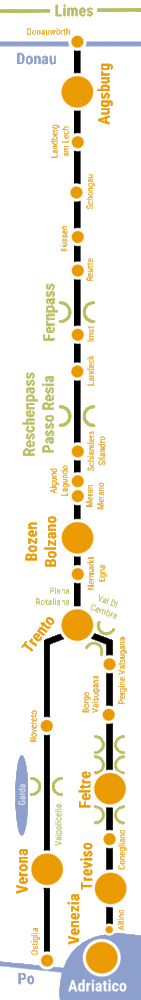
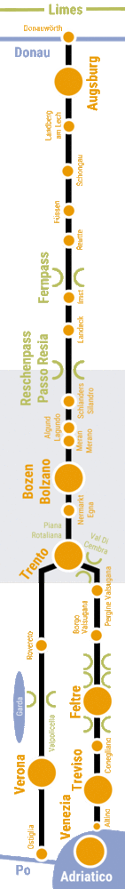
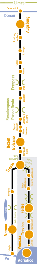
Profile of the Via Claudia Augusta cycling route
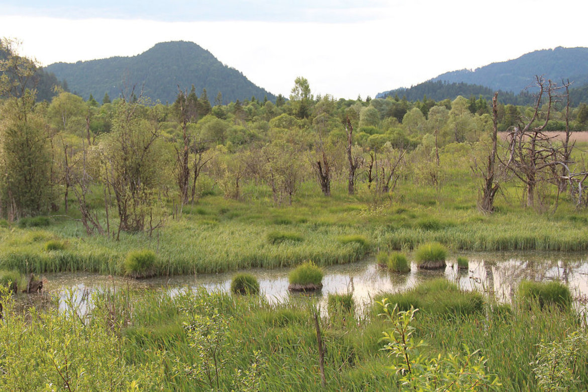
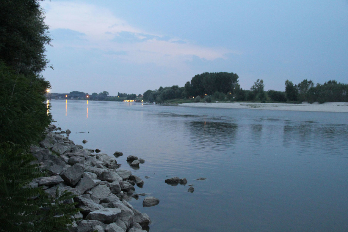
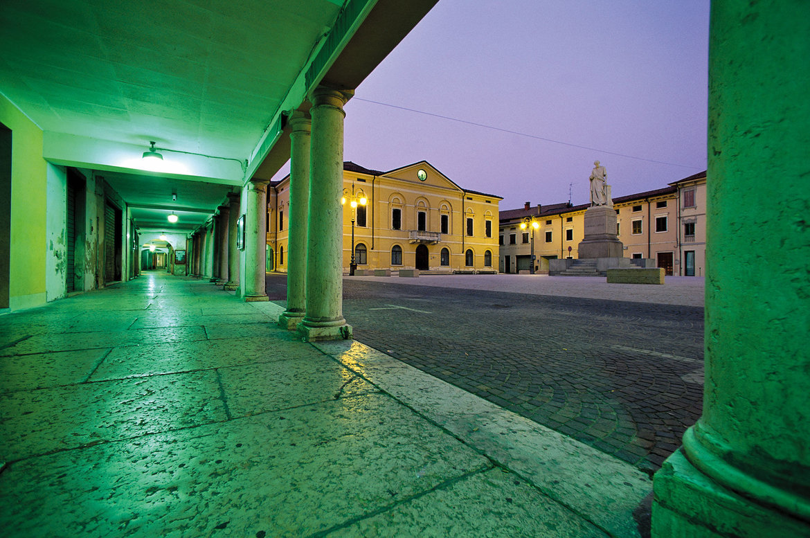
When Emperor Claudius ordered that the Via Claudia Augusta be expanded, he created the first road that connected Europe: from the Adriatic seaport of Altinum and Ostiglia on the Po all the way to the Danube. Along the Via Claudia Augusta cycling route, the ancient culture and trade road of the Roman Empire comes back to life. It is incredibly diverse: three countries, the Alps, ten regions, and three climate zones stretching from the north to the south of Europe offer a magnificent range of landscapes . Cyclists get to marvel at a new landscape every twenty or thirty kilometers. In late April and early May, you might even experience three seasons during a single cycling tour: bike along a late, snow-covered field on a shady part of the Fernpass, sunbathe by the Adriatic Sea, and take in all facets of spring in between. Apart from this cornucopia of landscapes, you will encounter lively towns, pretty villages, hundreds of historical sites, welcoming people and their fascinating cultures. Plenty of culinary delicacies and refreshments will keep your batteries charged. Some restaurants and inns along the way even serve dishes that may already have been popular during Roman times. Autumn is a particularly rewarding time for foodies. It offers the full breadth of products grown in the various regions. Enjoy the easiest way to cross the Alps by bike
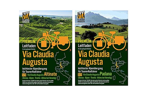
2 versions: in Trento, the road forks. The Via Claudia Augusta ‘Altinate’ branch runs to Feltre and terminates in Altino near Venice; the Via Claudia Augusta ‘Padana’ branch runs to Verona and terminates in Ostiglia on the Po river.
Route: approximately 700 km from Donauwörth on the Bavarian Danube across the Alps to Altino near Venice or 650 km from Donauwörth to Ostiglia on the Po river.
Traffic connections: the railway stations of Donauwörth, Augsburg, Landeck, Bolzano/Bozen, Trento, Venice-Mestre, Rovereto, Verona and Ostiglia are perfectly connected to the international train network; public transport runs parallel to the majority of the route; optimally connected to the European long-distance cycling route network
Free parking in Donauwörth for the duration of your cycling tour
Logistical support: bike shuttle across all passes; shuttle service to take you back from Italy to Germany on six days of the week (avoiding high traffic volumes on Saturdays)
Route profile: on almost completely tarmacked cycling paths and quiet secondary roads; highest points: Fernpass (about 250 meters above Biberwier), Reschenpass (about 500 meters above Pfunds); cycling shuttles are available to take you up the passes, leaving only very few inclines for you to scale on your own.
Signage: mostly signposted, but we recommend taking a guidebook and/or GPS device
Travel resources: printed guidebooks, an interactive map for your individual travel planning needs available on this page, apps helping you navigate your individually planned route and offering information on all sights
Awards: representative surveys have shown that the Via Claudia Augusta cycling route is the second most popular international cycling route among Germans; 4 stars from the Allgemeiner Deutscher Fahrrad-Club (ADFC); every year, around 40,000 cyclists from all continents and aged 5 to 93 years choose the route
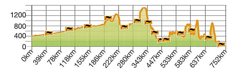
Elevation profile of the Via Claudia Augusta ‘Altinate’:: Danube - Trento - Feltre - Altino near Venice
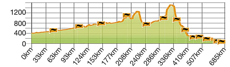
Elevation profile of the Via Claudia Augusta ‘Padana’: Danube - Trento - Verona - Ostiglia on the Po river.
Frequently Asked Questions (FAQ)
Cycling guidebooks
Bike-friendly accommodation
Package tours for cyclists
Arriving and returning by train
Arriving and returning by bike
free parking
Shuttles to and across the mountain passes
Cycling shuttle from Italy to Germany
Carsharing

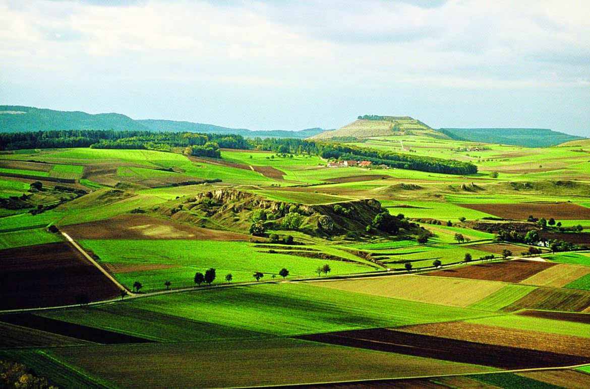
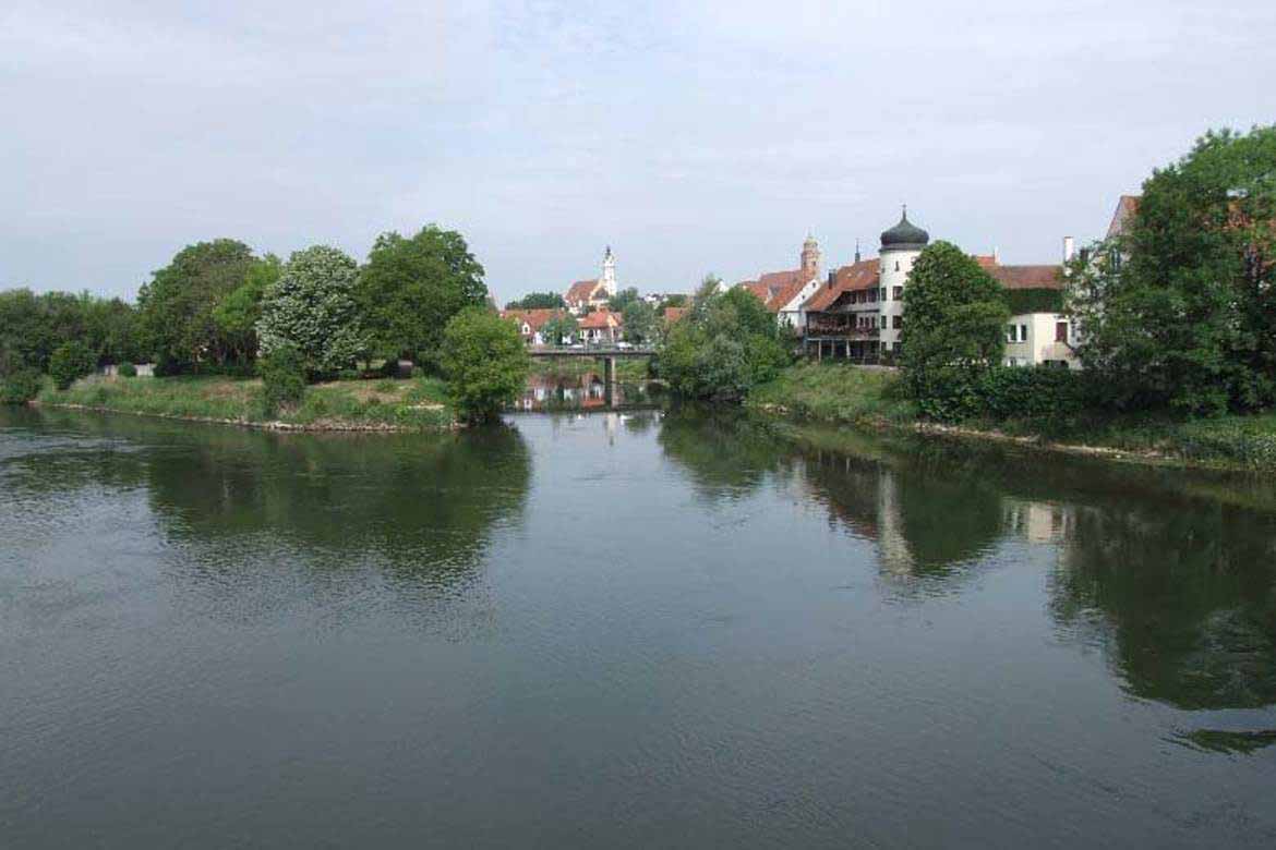
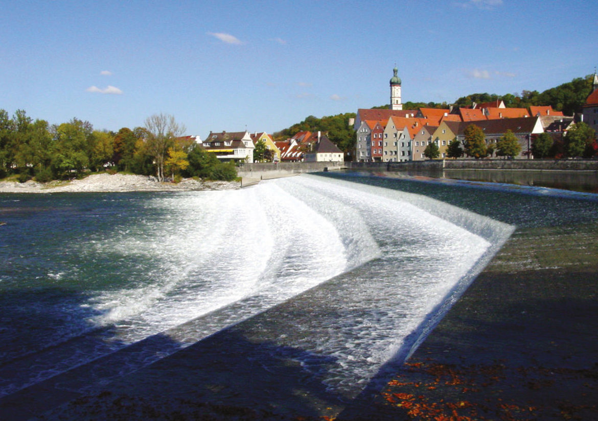
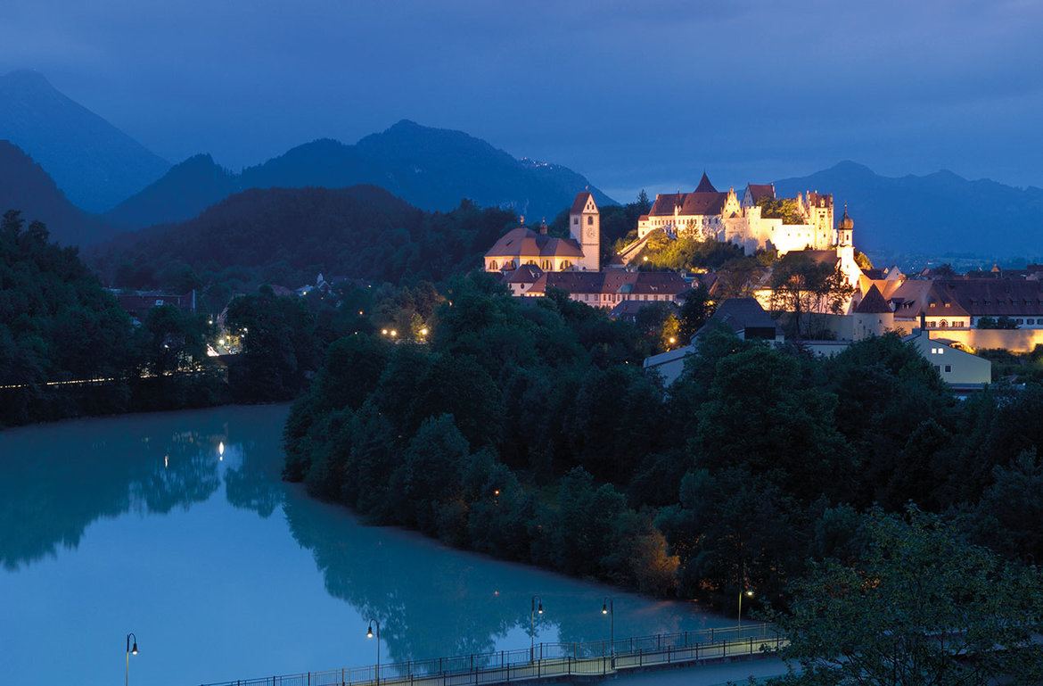
Landscapes: Nördlinger Ries Crater and the Danube > Donauwörth (town) > Lechtal valley and Lech floodplains > Augsburg (city) > Lechfeld > Landsberg am Lech (town) > Fuchstal valley and Lechrain region > Schongau (town) > Pfaffenwinkel region > Aubergland municipalities > Ostallgäu district > Forggensee lake > Füssen > castles of the Allgäu


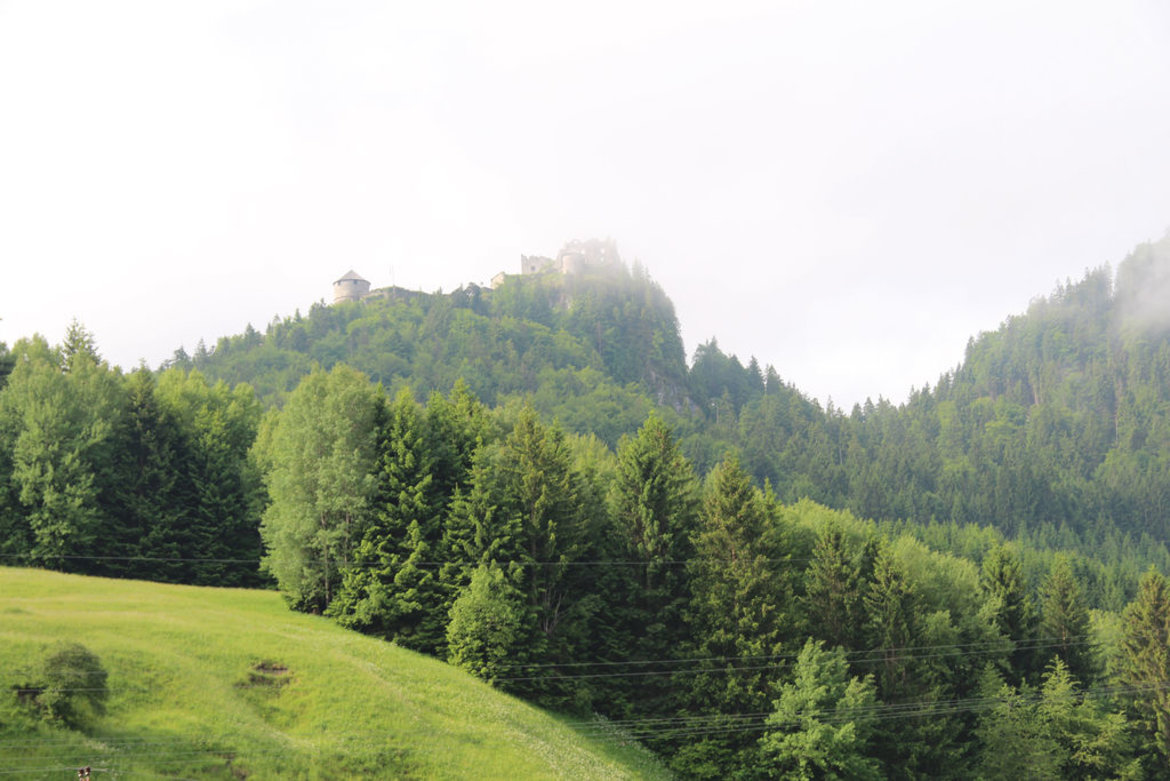
Tiroler Lech Nature Park > Vils (small town) > Reutte (market town) > Burgenwelt Ehrenberg (castles) > Plansee and Heiterwanger See lakes > Zwischentoren > Mähberg > Tiroler Zugspitz Arena > Natura 2000 Area: the Fernpass landslide landscape with seven lakes > Gurgltal valley > Imst (town) > Oberinntal valley > Landeck (town) > Tyrolean Oberland > Kaunertal valley > Graubünden/Grisons (CH) > Nauders on the Reschenpass


detailed description of the ‘Altinate’ cycling routedetailed description of the ‘Padana’ cycling route

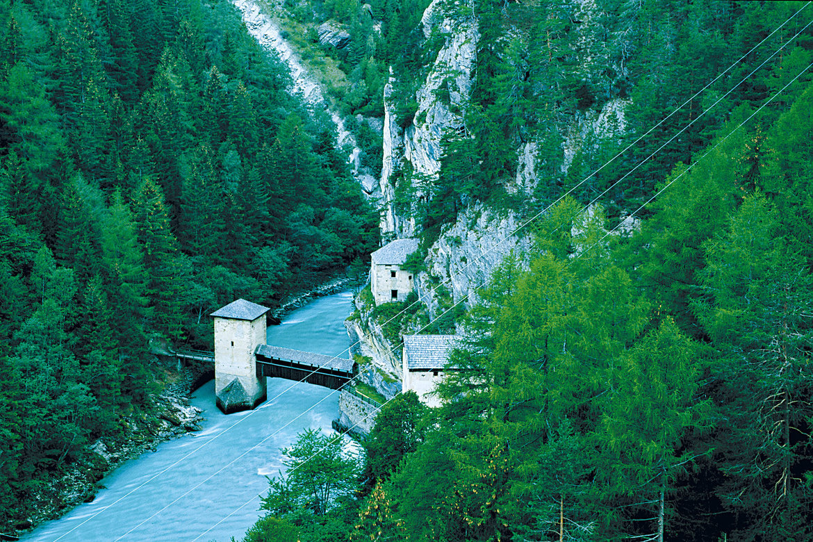
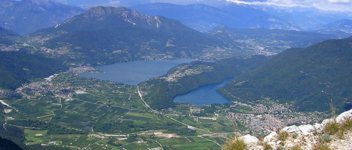
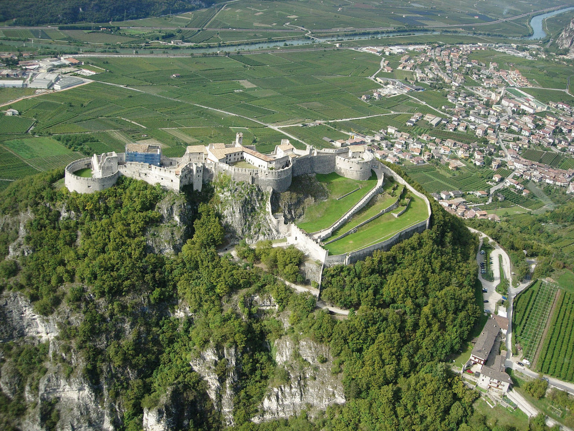
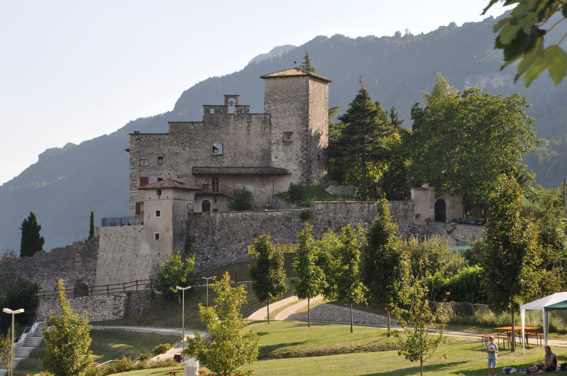
The Etschtal valley between the Reschenpass and Trento (South Tyrol, Trentino):
- Sections 20 - 31
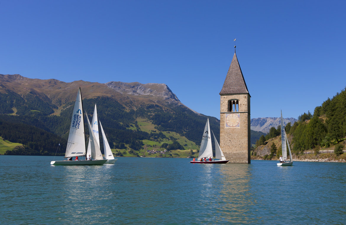
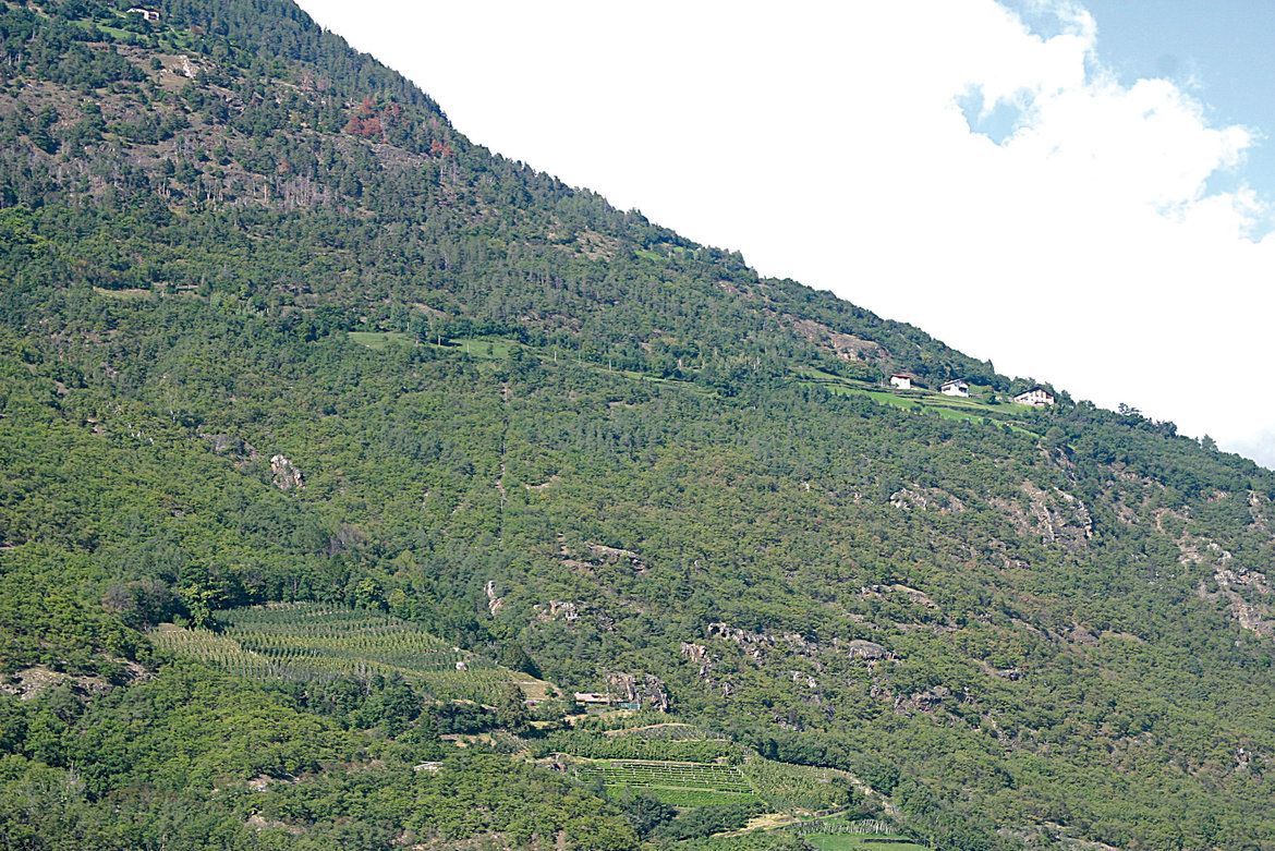
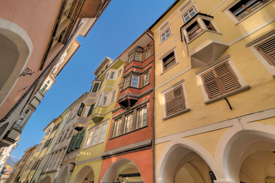
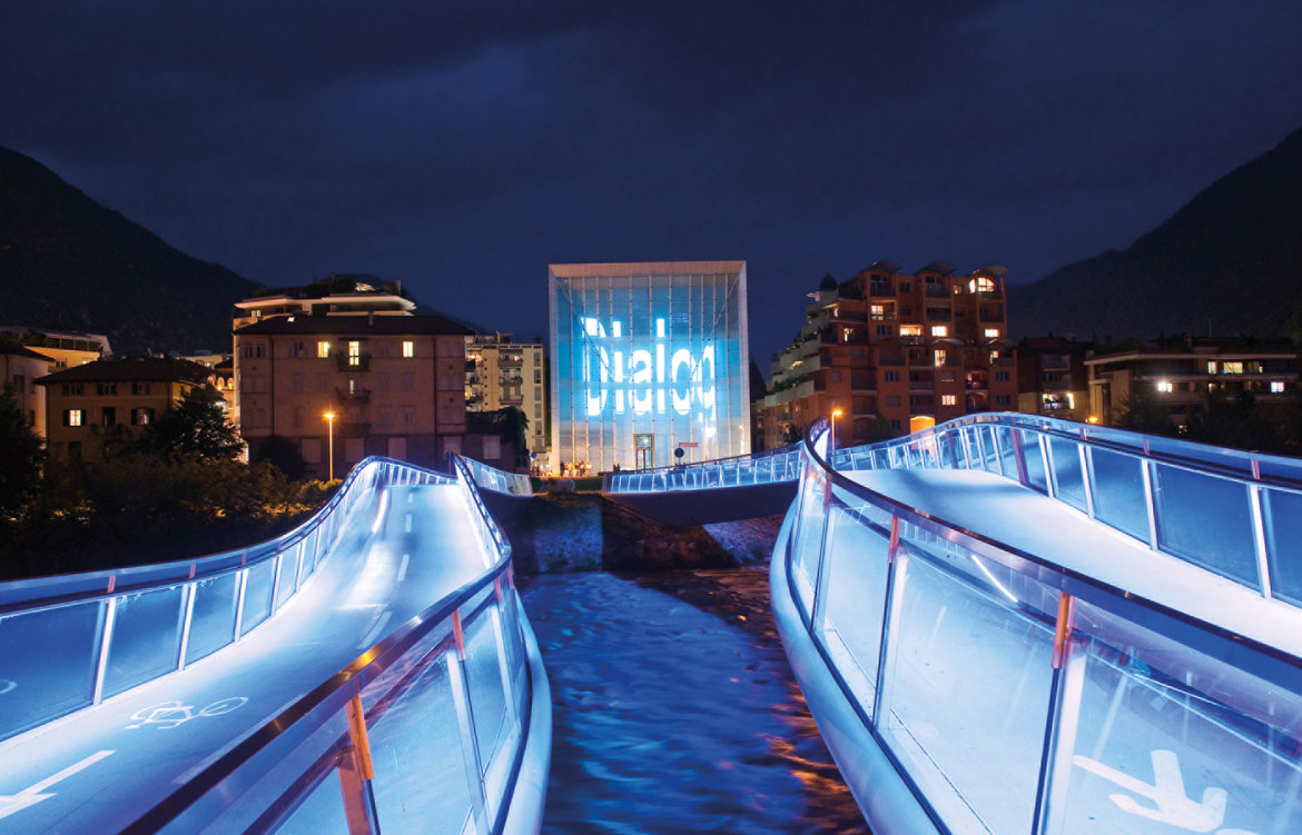
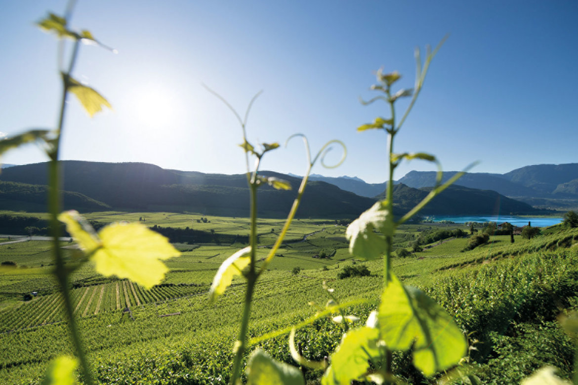
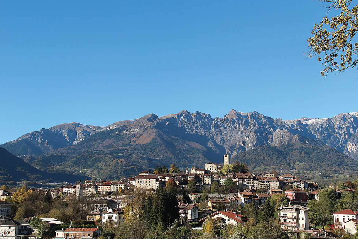
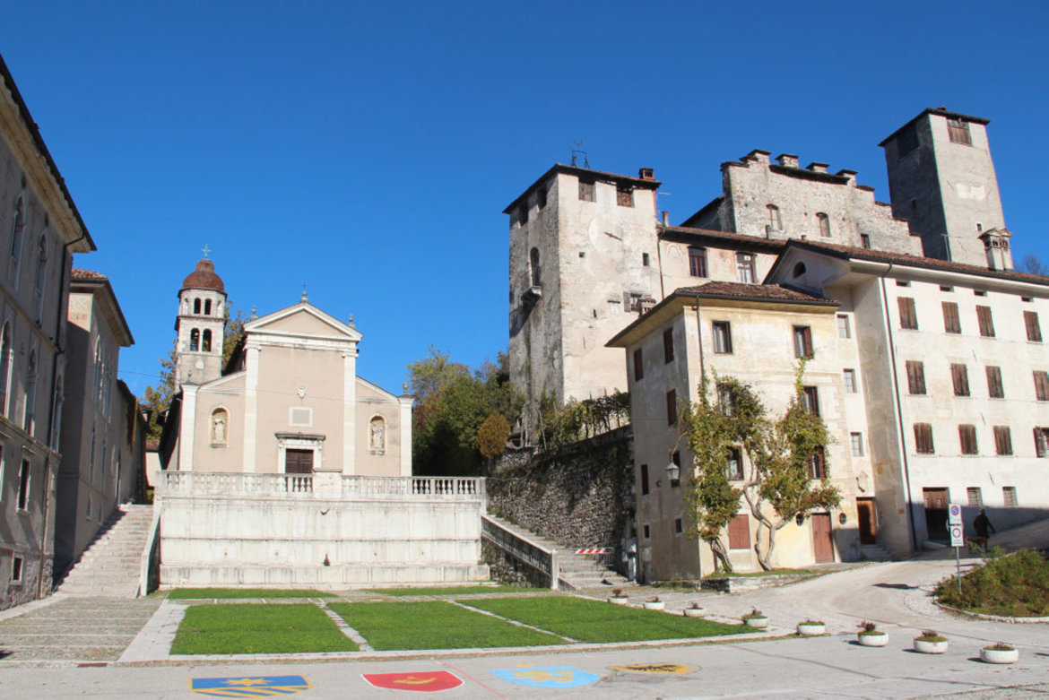
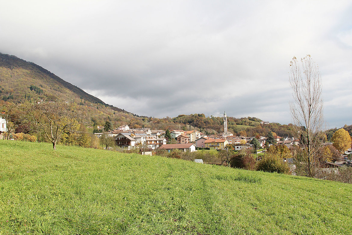
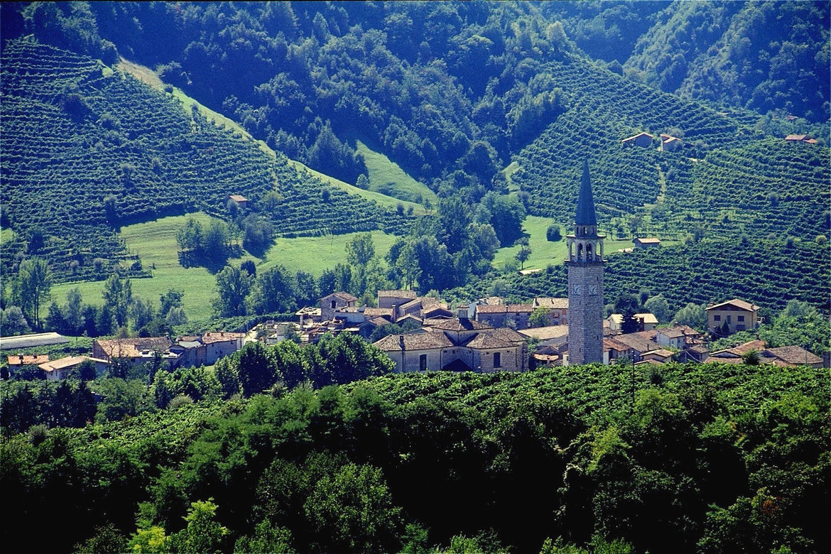
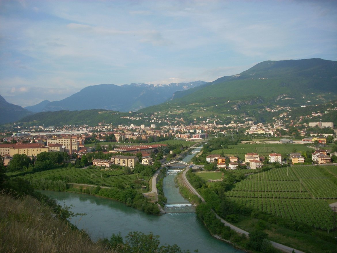
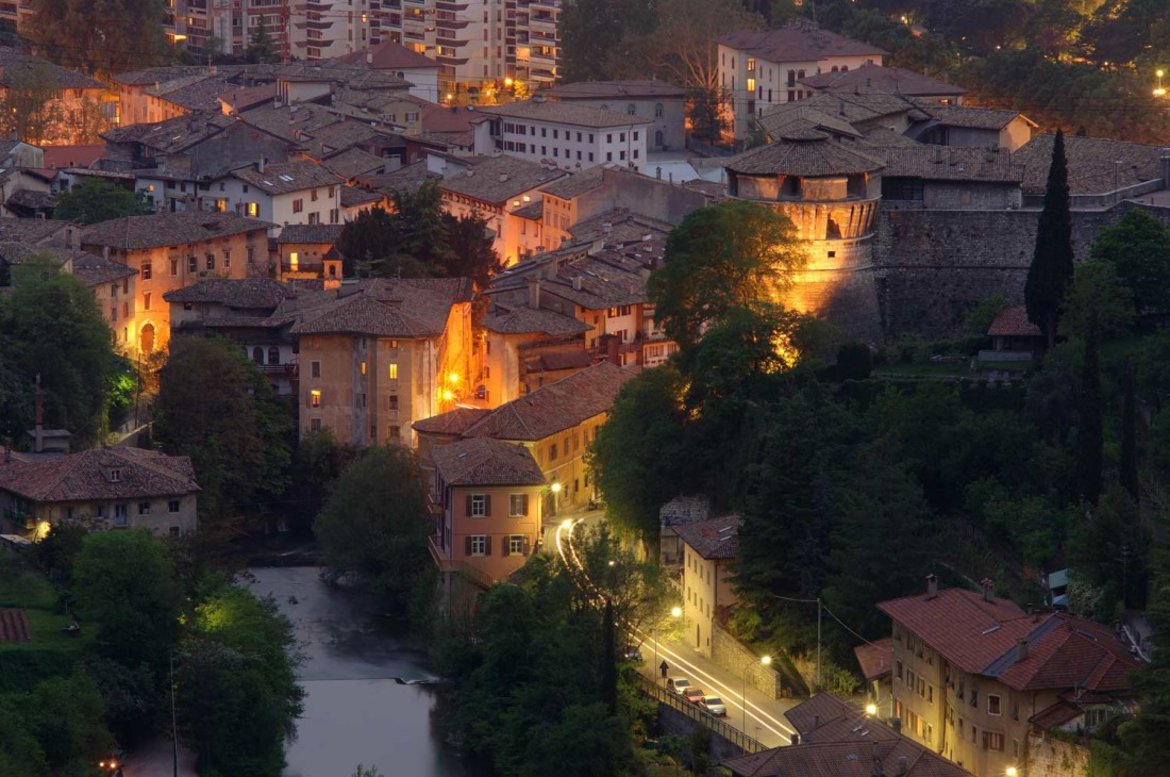
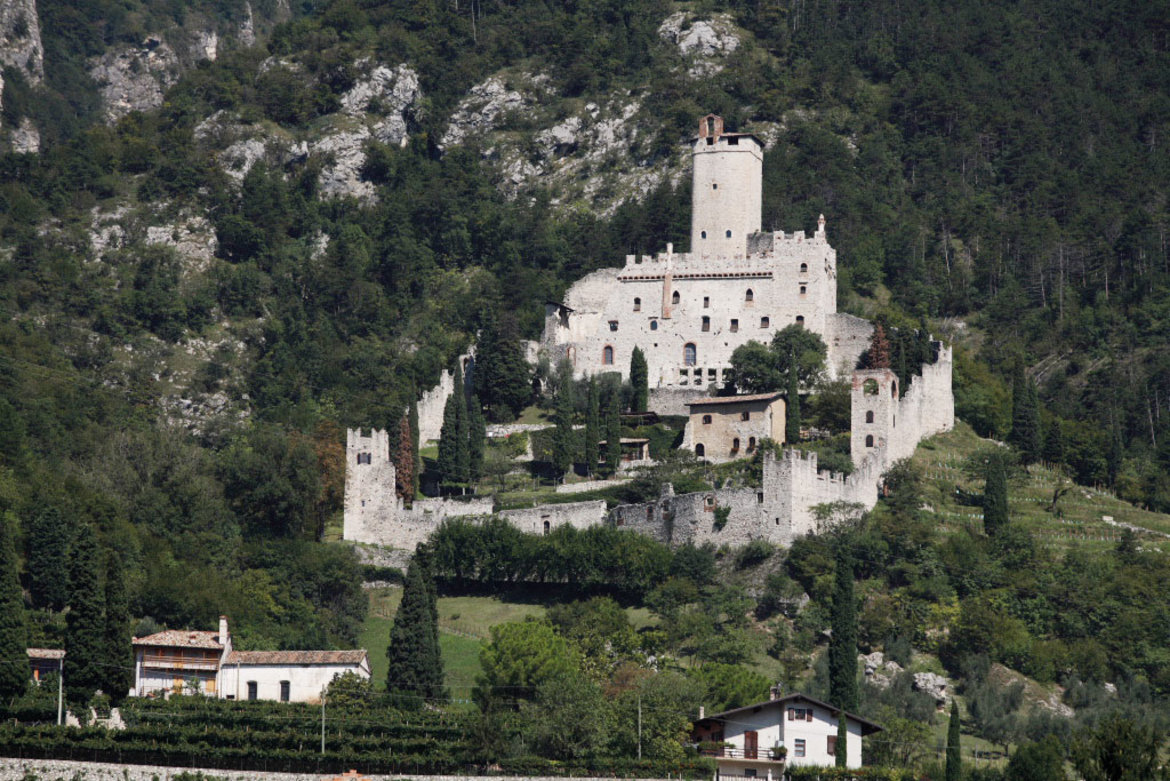
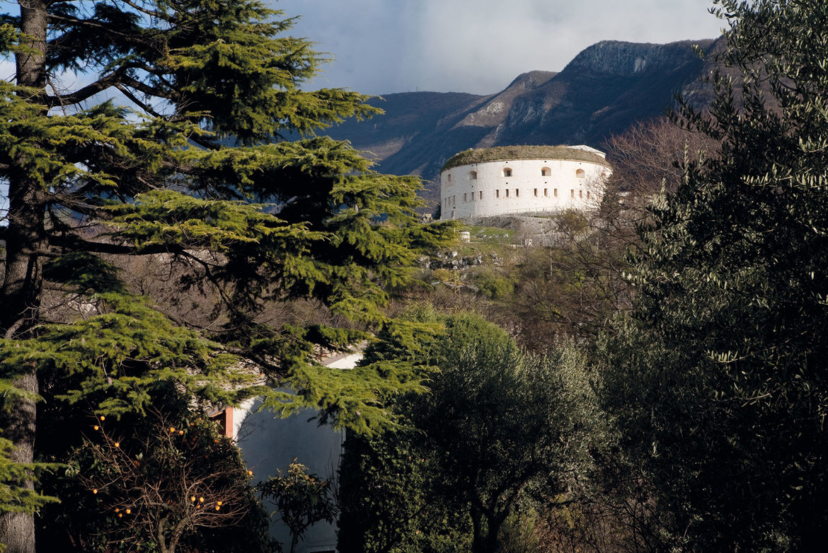
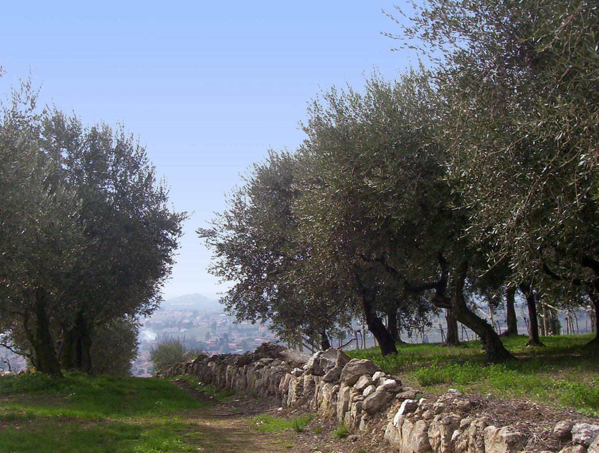
Reschenpass, Reschensee and Haidersee lakes > Mals/Malles heath > Upper Vinschgau valley > Sonnenberg mountain > Lower Vinschgau valley > Töll/Tel > Meraner Land > Burggrafenamt > the provincial capital of Bolzano/Bozen > South Tyrolean Wine Road > Kalterer See lake > Castelfeder > Salurner Klause > Piana Rotaliana > Val di Cembra and the Pinè plateau > Trento, Monte Bondone and Valle dei Laghi


detailed description of the ‘Altinate’ cycling routedetailed description of the ‘Padana’ cycling route
History of the sections between the Reschenpass and Trento
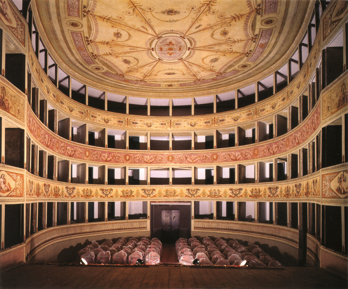
Culture
Spending time
Videos
Bibliography

The ‘Altinate’ version of the Via Claudia Augusta from Trento to Feltre and Altino near Venice (Trentino, Veneto)
- Sections 31a(ltinate)–41a
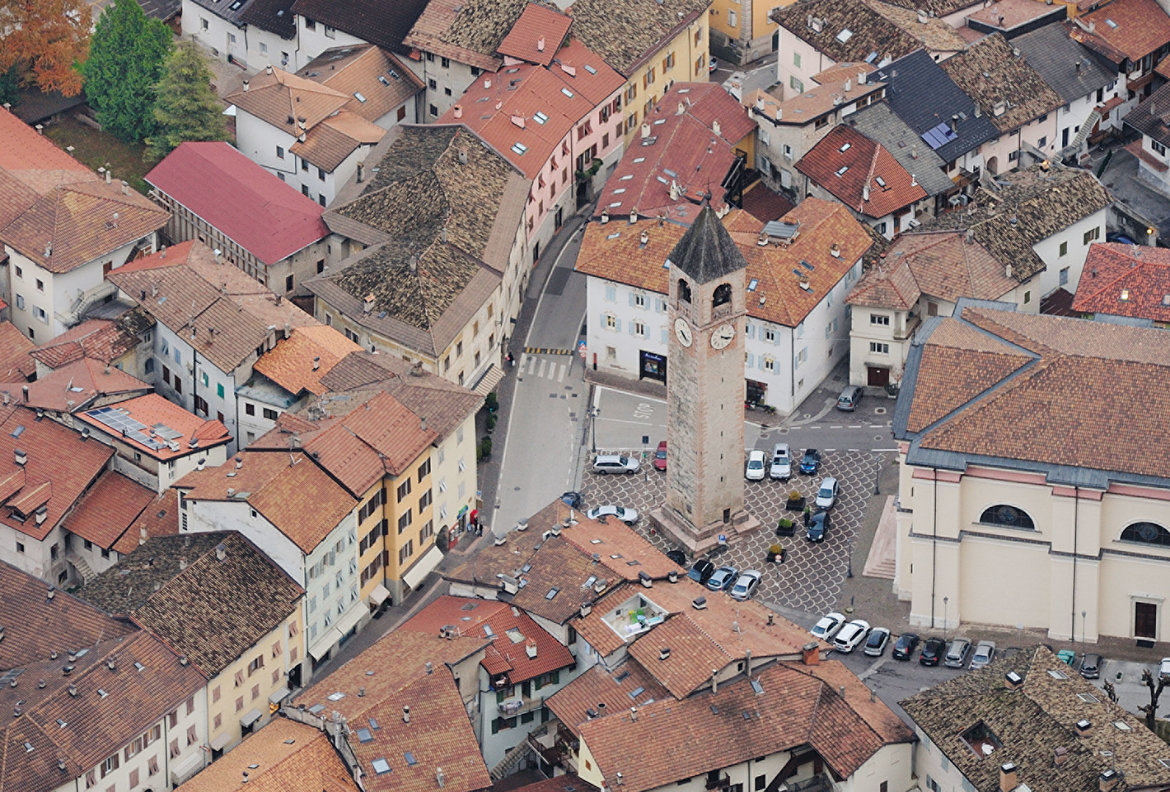
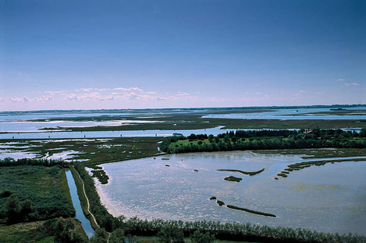
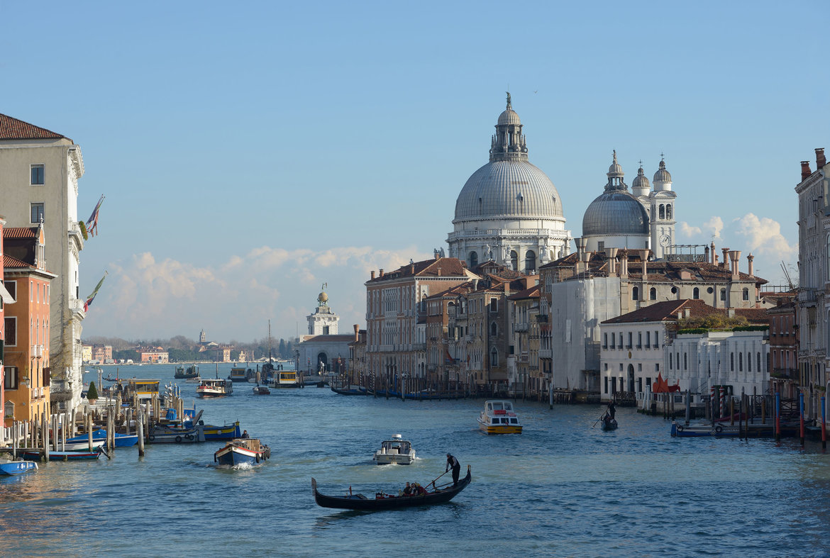
Ecomuseo Argentario > Val di Cembra and Pinè > Upper Valsugana > Media Valsugana > Val di Sella > Bassa Valsugana > Tesino Plateau > Senaiga Valley > Lamon and Sovramonte at the gateway to the Dolomiti Bellunesi National Park > Feltrino > Feltre (town) > Valbelluna > Praderadego Pass > Strada del Prosecco > Alta Marca > Montello and the hills of Asolo > the right shore of the Piave river > the provincial capital of Treviso > Sile Nature Park > Venice Lagoon > Jesolo (spa town) > the regional capital of Venice and Mestre


detailed description of the ‘Altinate’ cycling routedetailed description of the ‘Padana’ cycling route
History of the sections from Trento to Feltre and Altino
Culture
Spending time
Videos
Bibliography

The ‘Padana’ version of the Via Claudia Augusta from Trento to Feltre and Ostiglia on the Po river (Veneto, Lombardia)
- Sections 31p(adana)–39p
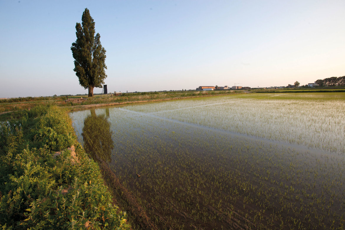
Northern Vallagarina > Rovereto > southern Vallagarina > Monte Bondone > Lago di Garda > Valpolicella > the provincial capital of Verona > Pianura Padana > Ostiglia > Po > Padovano > Oltre Po


detailed description of the ‘Altinate’ cycling routedetailed description of the ‘Padana’ cycling route
History of the sections from Trento to Verona and Ostiglia
Culture
Spending time
Videos
Bibliography
Frequently Asked Questions (FAQ)Cycling guidebooksBike-friendly accommodationPackage tours for cyclistsArriving and returning by trainArriving and returning by bikefree parkingShuttles to and across the mountain passesCycling shuttle from Italy to GermanyCarsharing
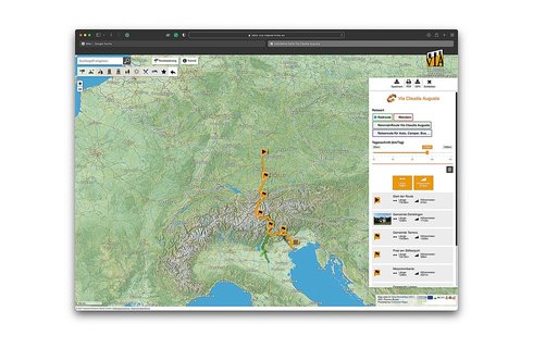
On this map, the historical route, the cycling route and all other content have been pre-selected. You can see all pre-selected content by zooming in on the map. To browse a full-screen map and/or plan your trip on the full screen, click the orange bar underneath this text.


