


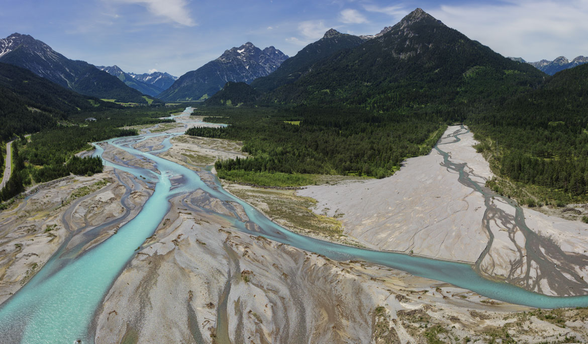
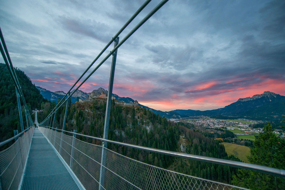
Where the Via Claudia Augusta enters to Tyrol and the Alps we have the Reutte Nature Park region. It is one of the most beautiful holiday areas in Tyrol, characterized by the fascinating wild river landscape of Lech and the surrounding mountains. The Ehrenberg Castle is a cultural highlight of the area.
Nature park region Reutte

Internet portal of the tourism association Nature Park Region Reutte
Homepage of the castle of Ehrenberg
Homepage of the tyrolean nature park Lech
4 maps through the millennia
3 maps show what the region looked like at different times in history, and one map shows how and where you can explore the Via Claudia Augusta, the history and other features of the region. "4 maps trough the millenia"are available successively for all regions along the Via Claudia Augusta.
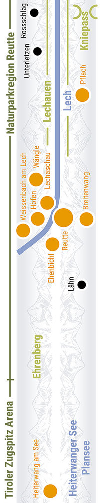
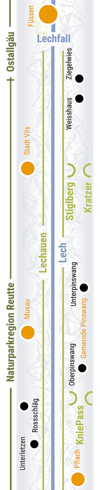
Webcams Events Interactive maps Guest card Youtube-Channel Hosts

Holidays or excursion in the
Gateway to Tyrol and the Alps
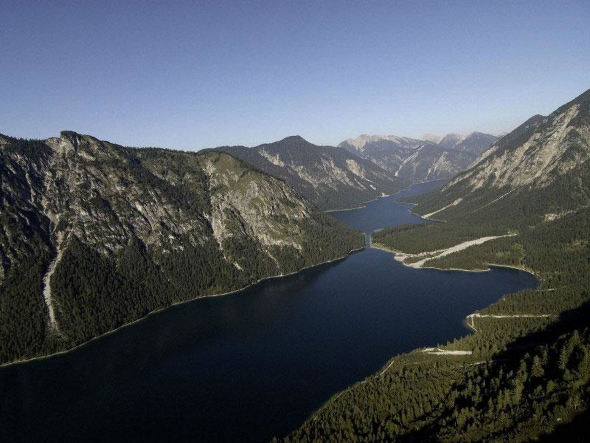
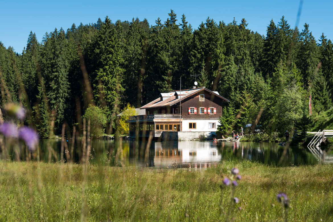
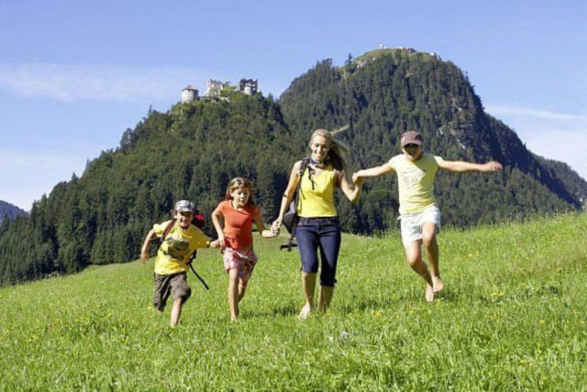
The magnificent mountain world and 5 crystal clear lakes invite you to engage in sporting activities and to enjoy and relax. Top hiking trails, attractive mountain bike routes, boat trips on the Plansee, as well as the Reutten cable car with barefoot hiking trail and alpine flower garden promise a varied holiday. The "castle world Ehrenberg" with events, guided tours and an adventure museum are the cultural highlight of the region. For nature lovers the idyllic nature park Tiroler Lech offers an oasis of flora and fauna to discover and relax.
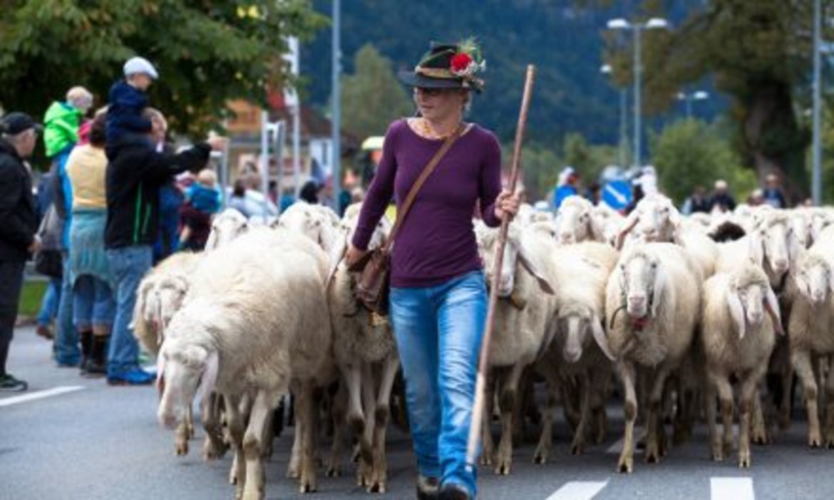
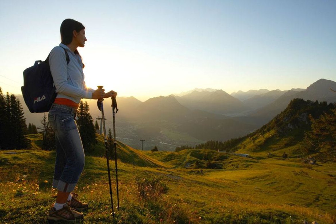
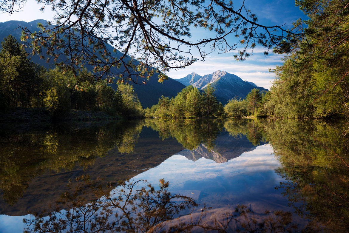
Spring, Summer, Autumn...


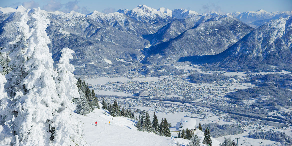
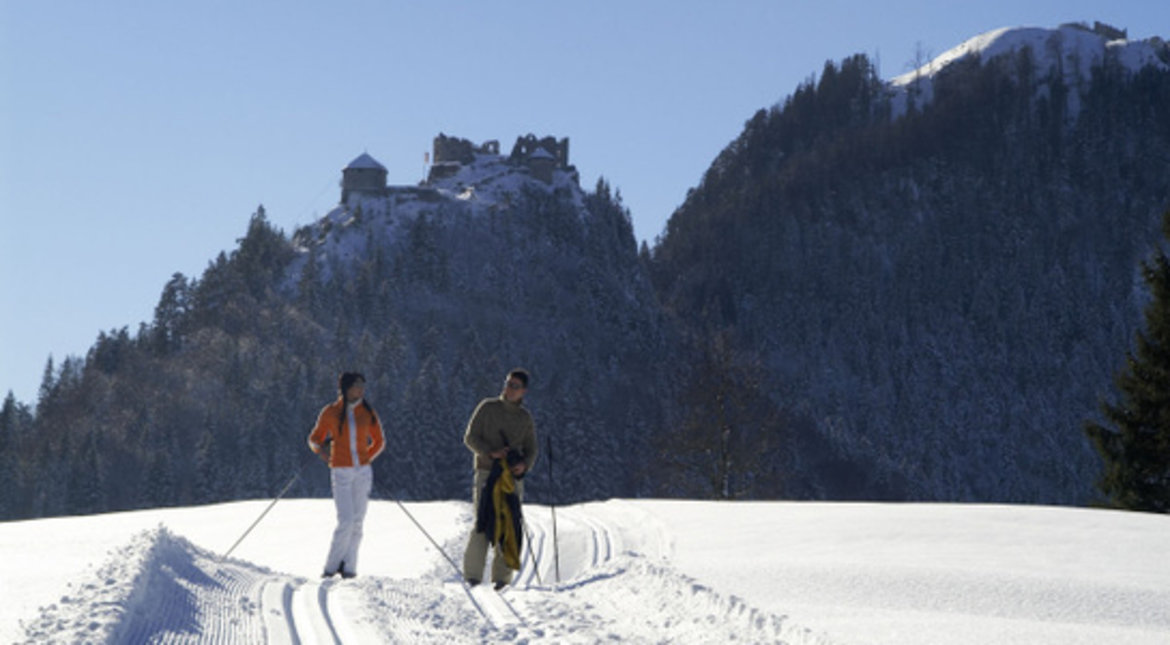
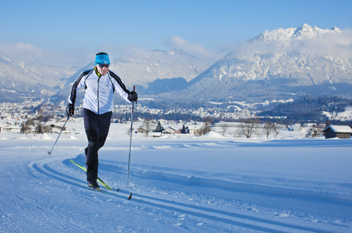
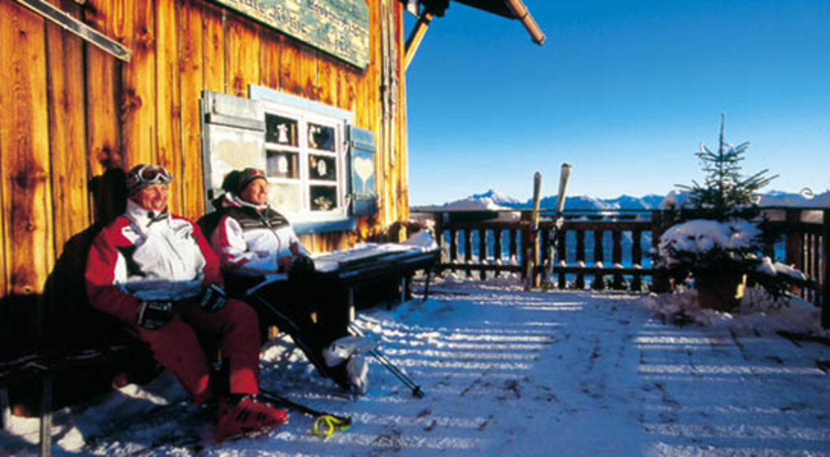
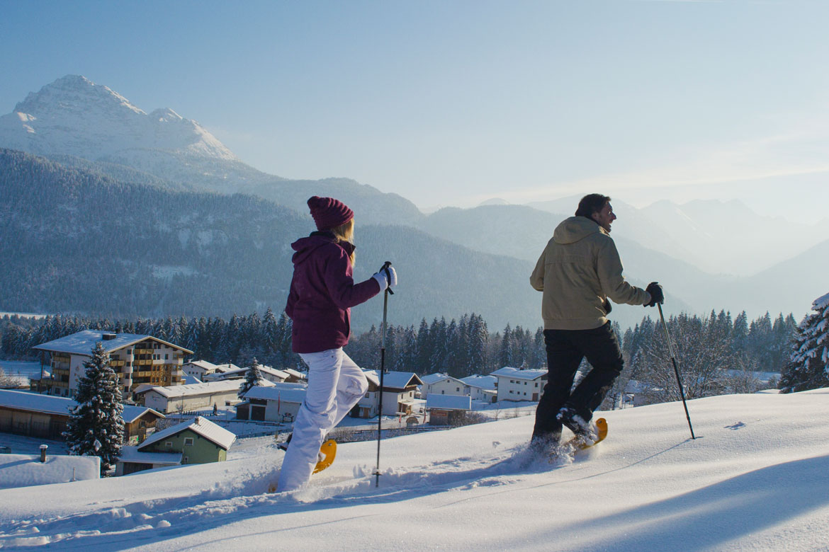
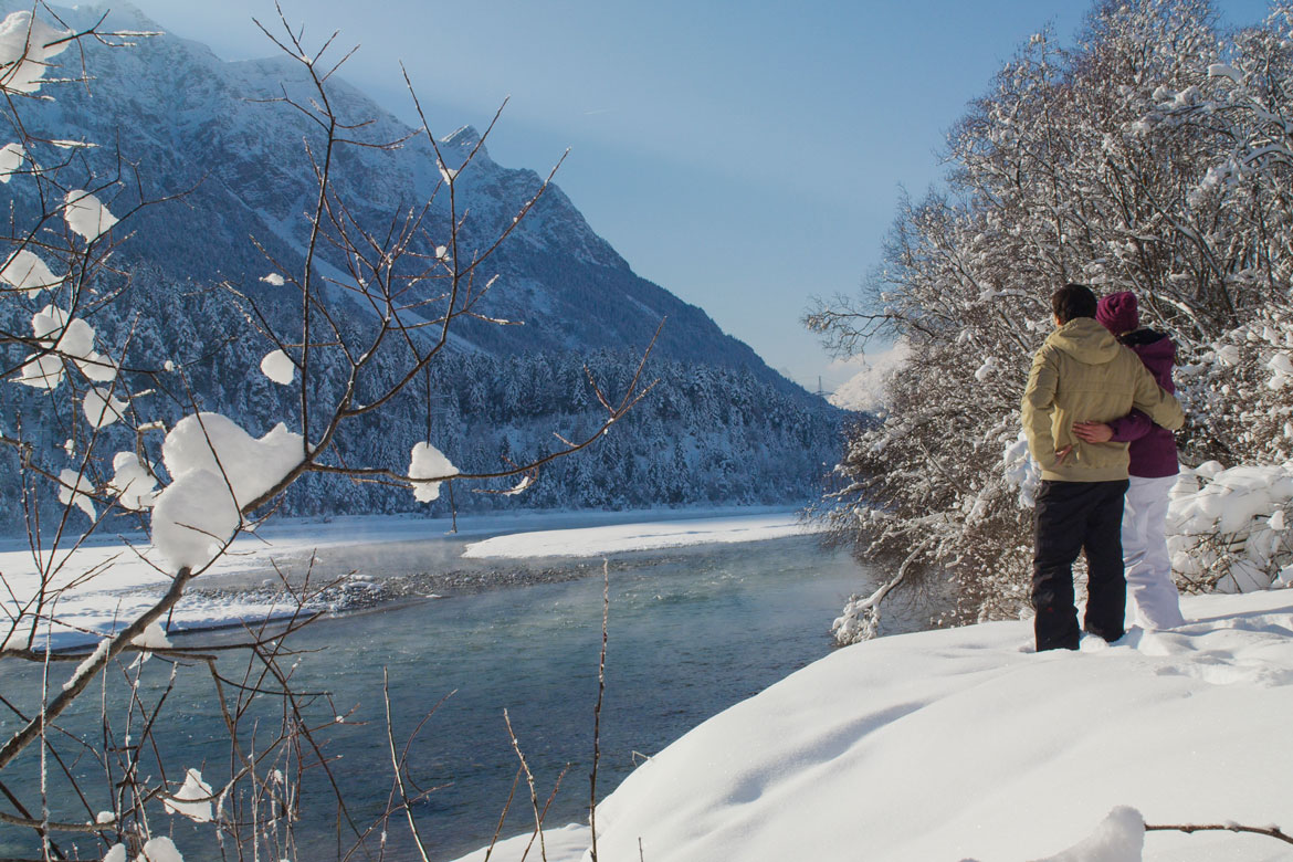
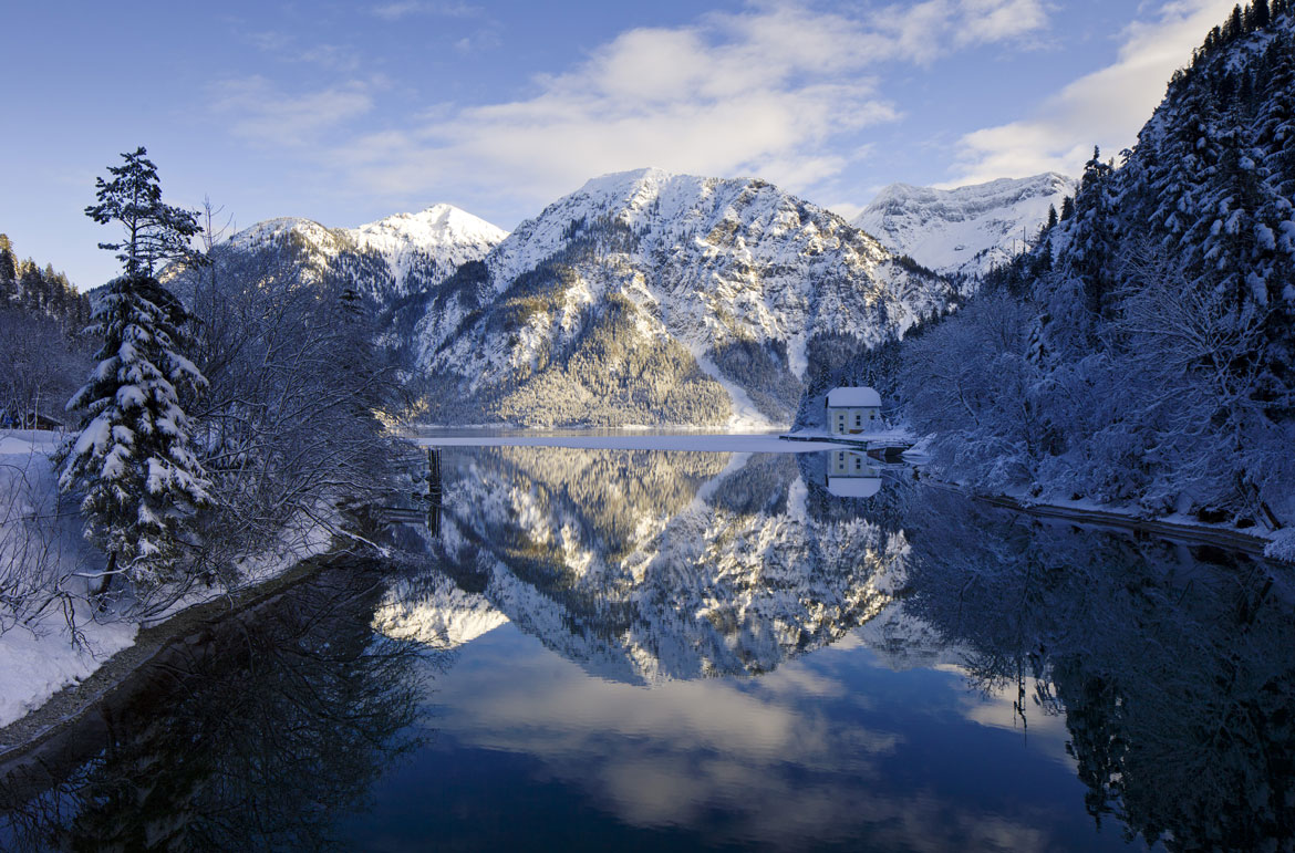
... and some winter impressions!


The winter world of the nature park region offers besides high recreational value and natural beauty many an extraordinary holiday pleasure. Whether it's perfectly groomed slopes, cross-country ski runs, winter hiking trails, snowshoe hikes, a trip on crackling ice or a romantic sleigh ride - here you can arrange your holiday to suit your individual needs.


Text of the historical map of ...
100 AD
Gateway to the Alps
The Roman road entered the Alps as if through a gateway. As the Lech often occupied the entire valley, it already had to overcome two elevations up to the Reutte valley basin – between Stiglberg and Kratzer and at the Kniepass. The route of the Roman road remained in use until 1784 and the modern road still crosses the Kniepass today. Before climbing to Ehrenberg, the Via Claudia Augusta passed through the municipality of Breitenwang, where a road station (mansio) and the fifirst small settlement in the valley basin are thought to have been located. Reutte developed at a later stage – on the salt road. Breitenwang still remains the district’s ecclesiastic centre today.
1504
Reutte flourishes
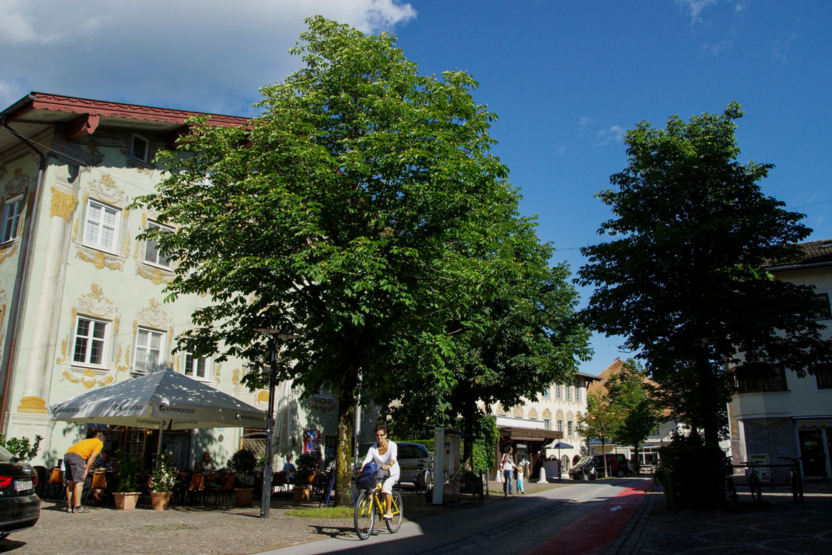
With its extensive floodplains, the Lech also shaped the valley basin back in 1504 that depended significantly for its livelihood on the salt road between Hall in Tirol and the Lake Constance area. A bridge was built in 1464 between Lechaschau and Reutte that replaced the Lech ford near Höfen. With its salt depot and numerous roadside inns, Reutte grew into the centre of the Ausserfern district and in 1489 it was granted market rights by Sigesmund “the Rich”. Ehrenberg Castle throned above the valley. A wall blocked the gorge and all traffic had to pass through the customs station gate. There was an ironworks near Pflach. Vils, not yet part of Tyrol, was a town since 1327 and enclosed by a wall with two gates in the north and south.
1780
strongly fortified
Numerous fortifications in the border area between Bavaria and Tyrol shaped the area around 1780. In addition to the dam at Ehrenberg that had grown around two further fortresses, there were several outer fortresses. The market town of Reutte at their feet already had around 1,000 inhabitants and several new roads were completed. The road from Reutte via Vils to Kempten now passed by the walled city to the south, while that from Füssen to Pinswang went around the Stiglberg. The Ulrichs-brücke bridge was not constructed until 1914. Shortly after the turn of the century, the existing Bavarian local railway was also extended to join the Ausserfern railway that initially went to Reutte. The river was largely unregulated even around Reutte.
This map shows the historical route of the Via Claudia Augusta in Roman times.
In this map we show you how to cycle the Via Claudia Augusta from the north and also from the south of the region.
In this map we show you how to hike the Via Claudia Augusta from north and also from the south of the region.
For information on holidays in the region, please contact:
Tourist info of the Reutte Nature Park Region
Untermarkt 34, 6600 Reutte
info@reutte.com
0043 5672 62 33 60
An overview of the regions along the Via Claudia Augusta can be found in
ViaClaudiaAugustaInfo
info@viaclaudia.org
0043 664 27 63 555
In this map we show you the hosts in the region along the Via Claudia Augusta cooperating with it.


