


The content menu at the start of the route description allows you to jump directly to the various sub-sections. You can also use the navigation elements at the end of each section to switch between the two variations of the cycling route, ‘Altinate’ and ‘Padana’. You can use the detailed route description for referenceduring your cycling tour alongside the cycling maps available for download here. Alternatively, you can download offline navigation apps for your iPhone or Android or simply take a printed guidebook with you.
detailed route description of the ‘Altinate’ cycling route (from Trento to Altino near Venice)

Jump to a specific section
BAVARIA
TYROL
Reschenpass > Trento (South Tyrol, TRENTINO)
Trento > Altino/Venice (TRENTINO, VENETO)
Use the main menu on the website to jump to the subsections from Trento to the Po river via Verona (Via Claudia Augusta ‘Padana’).


The Via Claudia Augusta starts in the town of Donauwörth. This has two reasons: the Danube, which allowed the Romans to transport heavy goods, and the northern border of the Roman Empire, which was located here before and after the first retreat of the Roman Empire from the Germanic tribes. The northernmost part of the Roman road runs through the modern district of Donau-Ries, which nearly reaches the Limes in the north. Apart from the Danube, the area is characterized by the Ries crater. It has a diameter of 25 kilometers and was created by a meteorite 14.5 million years ago. The name ‘Ries’ is said to be derived from the Roman province of Rhaetia. Donauwörth, the town where the Roman road ends, did not exist during Roman times. Instead, the area was frequently flooded by five rivers whose confluence lies in the Donauwörth region: the Danube, Wörnitz, Zusam, Schmutter and Lech. The town began as a fishermen’s settlement on the island of Ried in the Wörnitz river. Today, most of the old town is located to the north of the river. It offers one of Germany’s most beautiful streets, the Reichsstraße.


We recommend that you cycle to Donauwörth, which is well connected to the international network of cycling paths. Alternatively, take a train to the Donauwörth intercity railway station. If you are arriving by car, you can leave your car at the parking lot on Neue Obermayerstraße while you explore the area by bike. Consider arriving a day early so that you can start your cycling tour well rested and see a little of this lovely town before you set out. If you are missing any bicycle equipment, there are two well-stocked specialist shops in town: Uhl and Brachem.

From the railway station, the route takes you across the island of Ried, where the first settlements of Donauwörth were established. You then reach the modern town center with the beautiful Reichsstraße street. Drop into the tourist information office if you still need any guides, maps or other paperwork, then continue across the Danube and southwards.

To head back to Donauwörth after your tour, you can take the cycle shuttle. Bookings are available at www.viaclaudia.org. Link
Information is available from
Via Claudia Augusta Info
www.viaclaudia.org/en
info@viaclaudia.org
0043 664 27 63 555
If you have specific questions about the town of Donauwörth, in particular, contact the
municipal tourist information office of Donauwörth
https://www.donauwoerth.de/tourismus/
Rathausgasse 1
tourist-info@donauwoerth.de
0049 906 78 91 51
For specific questions about the region, contact
the Donau-Ries tourist board
www.ferienland-donau-ries.de
info@ferienland-donau-ries.de
0049 906 74 211


jump back to the beginning of the detailed description of the Altinate cycling route
jump to northern Tyrol
jump to the Reschenpass
jump to Trento
jump to the whole history of the Via Claudia Augusta
jump to the history of the regions and towns along the Altinate route
jump to the ‘twenty-four maps through the centuries’ for each region along the Via Claudia Augusta
jump to the full spectrum of culture across the regions and towns (Altinate)
jump to the specialities of the regions and towns
jump to the wines of the regions and towns


In Roman times, there were already settlements in the estuary region of the rivers Wörnitz, Schmutter and Lech and in the part of the Lechtal valley bordering Augsburg. The inconspicuous little hill between Mertingen and Druisheim was the site of Submuntorium-Burghöfe, a Roman fortress complex. Another military site is said to have stood in Langweid am Lech. The towns up to Drusheim are still part of the district of Donau-Ries. Beyond Drusheim, the district of Augsburg begins. Its largest towns are Meitingen, which gained market privileges in 1989, and Gersthofen, which became a town in 1969. The Roman road follows the Lech towards Augsburg. In some parts, it is still a road. In others, it is a dam on the ground. Most of it is covered by the national road number 2 today. The Roman road runs past the floodplains of the Lech river, which separates the district of Augsburg from the Wittelsbacher Land.


Before you really get going, consider taking a little detour to see the confluence of the Zusam and Danube. This used to be the end point of the old Roman road. Today, a reproduction of an ancient milestone reminds passers-by of this significant spot. Afterwards, the cycling route takes you southwards through meadows, fields and pretty villages. Between Mertingen and Druisheim, you will find a notice board telling you about Submuntorium, the Roman fortress which used to stand here. In Ostendorf, the route crosses the Lech river to guide you through the floodplains of the Lech. The section between Stettenhofen and Gersthofen largely follows the original route of the Roman road along the left side of the river. It then continues towards Augsburg along the right-hand riverbank.
For information, contact
Via Claudia Augusta Info
www.viaclaudia.org
info@viaclaudia.org
0043 664 27 63 555
For specific questions about the region up to Mertingen/Druisheim, contact
the Donau-Ries tourist board
www.ferienland-donau-ries.de
info@ferienland-donau-ries.de
0049 906 74 211
For specific questions about the region from Allmannshofen/Nordendorf onwards, contact
the tourist information office of Regio Augsburg Tourismus GmbH
www.augsburg-tourismus.de
Rathausplatz 1, Augsburg
tourismus@regio-augsburg.de
0049 821 50 207 0

jump back to the beginning of the detailed description of the Altinate cycling routejump to northern Tyroljump to the Reschenpassjump to Trentojump to the whole history of the Via Claudia Augustajump to the history of the regions and towns along the Altinate routejump to the ‘twenty-four maps through the centuries’ for each region along the Via Claudia Augustajump to the full spectrum of culture across the regions and towns (Altinate)jump to the specialities of the regions and townsjump to the wines of the regions and towns


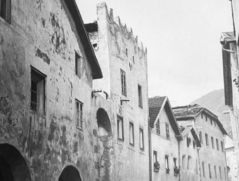
After the Alpine Campaign in 15 B. C., Emperor Augustus’ adoptive sons, Drusus and Tiberius, established a military camp in Oberhausen, a northern district. The camp was the foundation of Augusta Vindelicum, the later capital of the province of Rhaetia. Augsburg is probably Germany’s second oldest city. It was most certainly one of the largest Roman towns north of the Alps. Spanning more than 25 ha, the settlement had up to 15,000 inhabitants in its heyday and offered them everything they would have expected from a Roman provincial capital: a temple, market hall, governor’s palace, theater, spas ... All townhouses had running water. The Via Claudia Augusta passed the town to the west. In the central area between the town hall and the Mercury fountain, it is identical to the historical main road through the old town. Augsburg rose to even greater significance in the late Middle Ages and the beginning of the modern era, when the rich Fugger family established their global business empire from here. Later, the prince-bishops of Augsburg reigned over a vast expanse of land that stretched all the way to Tyrol.


In Augsburg, you can either follow the Lech or cross the MAN bridge in the north to take in the city itself. Augsburg used to be the provincial capital during Roman times and the home of the rich and influential Fugger family. Much of the route across the city follows the original Roman road: it leads past the Cathedral of Augsburg (which has a corner dedicated to local archaeological findings), across the Rathausplatz square with the Augustusbrunnen (a 16th-century fountain with a statue of Emperor Augustus), and the grand Maximilianstraße boulevard with its two fountains depicting Mercury and Hercules, respectively. The Basilica of SS. Ulrich and Afra and the Fugger houses are also situated on Maximilianstraße. Continue little further to the east and you will see the Fuggerei, the world’s first social housing complex. The route now takes you past the botanics and back to the Lech river, where its two branches reunite. Head south through the Siebentischwald forest.
jump back to the beginning of the detailed description of the Altinate cycling routejump to northern Tyroljump to the Reschenpassjump to Trentojump to the whole history of the Via Claudia Augustajump to the history of the regions and towns along the Altinate routejump to the ‘twenty-four maps through the centuries’ for each region along the Via Claudia Augustajump to the full spectrum of culture across the regions and towns (Altinate)jump to the specialities of the regions and townsjump to the wines of the regions and towns


The Lechfeld is a strikingly flat gravel plain that gained tragic fame after the Battle of Lechfeld against Hungary in 955. There were already settlements here in Roman times. Historians believe that the Roman road station Ad Novas, marked on the ancient road map Tabula Peutingeriana, was located in Igling. Another fortress from the Late Roman Empire is believed to have stood in Untermeitingen. In the south, Augsburg borders the relatively new town of Königsbrunn, where you can visit a Temple of Mithras. Recent settlement of the area only occurred in the early 19th century. Like the towns up to Obermeitingen, Königsbrunn is part of the district of Augsburg. It borders the district of Landsberg am Lech to the south. From the Lechfeld, you can clearly see long sections of the Roman road, which runs steadily towards the Alps. The hiking route takes you through picturesque towns along the old country road. Graben is the home town of Hans Fugger.


From Augsburg, the route takes you through the Siebentischwald forest to Königsbrunn, where the famous Battle of Lechfeld took place in 910. Visit the Mercateum to see the Tabula Peutingeriana, a Roman street map, then head to the Temple of Mithras in the cemetery. Leaving the city, you will cross the highway before following one of the longest sections of the perfectly straight, original route of the Roman road. Cycle through meadows, fields and pretty villages towards Landsberg am Lech.

jump back to the beginning of the detailed description of the Altinate cycling routejump to northern Tyroljump to the Reschenpassjump to Trentojump to the whole history of the Via Claudia Augustajump to the history of the regions and towns along the Altinate routejump to the ‘twenty-four maps through the centuries’ for each region along the Via Claudia Augustajump to the full spectrum of culture across the regions and towns (Altinate)jump to the specialities of the regions and townsjump to the wines of the regions and towns


The important salt road from Reichenhall to Munich crossed the Via Claudia Augusta here on its way to Switzerland. Duke Henry the Lion moved it a little way to the south from Kaufering in 1158. During that project, he had a bridge built and expanded the existing castle to protect it. The new complex was called the Castrum Landespurch. Nestled between the Lech and its high banks and overlooked by the castle, a settlement sprang up and grew rapidly. It would become the town of Landsberg in the 13th century. Today, the town to the west of the Lech is considerably larger, and its modern urban area dates back to the 19th century. The Via Claudia Augusta crossed some of the municipality westwards. Just like the river, it played an important role in the economic development of the town. The medieval old town is only accessible via the bridge over the Lech or its gates. It still retains some of its repeatedly expanded medieval walls. A recently redesigned main square is the town’s greatest attraction.


In Landsberg am Lech, you have two options. Either follow the cycling route through the villages to the west of the city, largely following the Roman road, or take a detour through the old town. The second option initially crosses the west of the city, which began to develop in the 19th century. The bridge taking you to the medieval old town is located exactly where the old bridge of the salt road used to be. On the other side of the Lech, you will see the picturesque main square of the city with the old town hall and the Schmalzturm tower, through which the salt road entered the old town. Merge with the cycling route again and cross the old salt road. In the Middle Ages, it connected the city with the medieval successor of the Via Claudia Augusta.

jump back to the beginning of the detailed description of the Altinate cycling routejump to northern Tyroljump to the Reschenpassjump to Trentojump to the whole history of the Via Claudia Augustajump to the history of the regions and towns along the Altinate routejump to the ‘twenty-four maps through the centuries’ for each region along the Via Claudia Augustajump to the full spectrum of culture across the regions and towns (Altinate)jump to the specialities of the regions and townsjump to the wines of the regions and towns


Between Landsberg and Schongau, the route leads crosses the Fuchstal valley to Epfach, the Roman Abodiacum before following the high banks of the Lech to Kinsau, Hohenfurch and Altenstadt, the mother parish of Schongau. Fuchstal is the valley of the Wiesbach river, a tributary of the Lech. It sits between the high banks of the Lech and a forested ridge to the west, next to the towns of Unterdießen, Asch, Leeder and Denklingen. ‘Fuchs’ is German for ‘fox’: the valley is said to be named for the brown color of its fields in fall. Just before Hohenfurch in the district of Weilheim-Schongau, you will climb the first hills since Donau-Ries. The villages in this section are particularly pretty and traditional. History enthusiasts will doubtlessly enjoy a visit to the site of the former Roman fortress of Abodiacum on the Lorenzberg, situated on a peninsula in the riverbend near Epfach.


After you leave Landsberg, the cycling route departs from the old Roman road to traverse the picturesque villages of the Fuchstal valley: Oberdießen, Unterdießen, Asch, Leder and Denklingen. It then leads back to the Roman road, which traces the beautiful high banks of the Lech until Kinsau. There used to be a Roman fort on the Lorenzberg, a hill that is now home to the Lorenzkirche (Church of St. Laurence) in Epfach. A little Roman museum shows you what it looked like. Having left Kinsau, the route continues to follow the Roman road through Hochenfurch and Schwabniederhofen before reaching Altenstadt, the original parish of Schongau.

jump back to the beginning of the detailed description of the Altinate cycling routejump to northern Tyroljump to the Reschenpassjump to Trentojump to the whole history of the Via Claudia Augustajump to the history of the regions and towns along the Altinate routejump to the ‘twenty-four maps through the centuries’ for each region along the Via Claudia Augustajump to the full spectrum of culture across the regions and towns (Altinate)jump to the specialities of the regions and townsjump to the wines of the regions and towns


During Roman times, another Roman road crossed the Alps via Garmisch and the Brennerpass. It was also called the Via Claudia, but it was not yet ‘Augusta’ (=imperial). In the Middle Ages, the roads that remained in use were dubbed the Upper Road and Lower Road. Their crossroads was an excellent spot to do business during Roman times and beyond. In Peiting to the east of the Lech, a Villa Rustica documents the outstanding domestic culture of the Romans. The town of Schongau, which was moved to the safer hill from its mother parish of Altenstadt in the 13th century, also flourished thanks to the nearby traffic hub. In 1331, the town was even granted the right to mint and issue its own coins. The old town has retained its entire town walls and can only be accessed through its gates. A large number of religious buildings also bear testimony to wealth of this region, which is called Pfaffenwinkel. Schongau and Peiting are considered its gateway. Wieskirche Pilgrimage Church is its best-known sacred building and a UNESCO World Heritage Site.


Just before you reach Altenstadt, you are once again faced with a decision: either visit the medieval old town of Schongau and the Villa Rustica in Peiting or trace the Roman road through Altenstadt. In the town of Altenstadt, you can see a reconstructed section of the Roman road and the Romanesque domed basilica. Now, cycle along the outskirts of Schonau towards Burggen.
jump back to the beginning of the detailed description of the Altinate cycling routejump to northern Tyroljump to the Reschenpassjump to Trentojump to the whole history of the Via Claudia Augustajump to the history of the regions and towns along the Altinate routejump to the ‘twenty-four maps through the centuries’ for each region along the Via Claudia Augustajump to the full spectrum of culture across the regions and towns (Altinate)jump to the specialities of the regions and townsjump to the wines of the regions and towns


The Auerbergland: lands around a foothill that has seen settlements for millennia
- 08
The municipalities in the Alpine foothills around the Auerberg initiated the initiative to revive the entire length of the Via Claudia Augusta. In this region, the Auerbergland, there are particularly many visible sections of the old Roman road. Its inhabitants have come up with many interesting ways of drawing attention to this important part of their heritage. There are quite a few historical highlights here: the site of millennia-old settlements around the Auerberg, the rafters’ village of Lechbruck am See, the Bavarian Via Claudia Augusta info center, and the Forggensee boat tour that follows the Roman road are well worth your time. Verdant hills and forests punctuated by lakes and set against a spectacular Alpine backdrop make the region a nature lover’s paradise. Its pretty holiday destinations have retained their authentic village atmosphere. The Roman road mostly followed the Lech through the Auerbergland. Some parts crossed the river in the area where it was dammed to create the Forggensee lake.


After Schongau, the cycling route leads through the hills of the Allgäu region: verdant forests and lush pastures, richly punctuated by lakes and ponds. This may well be the section of the route that follows the original Roman road for the greatest distance. It first takes you to Burggen, where you can see the St.-Anna-Straße, a listed street lined with typical, regional farmhouses. The next village is Lechbruck am See, a rafters’ village. Consider visiting the Auerberg and Bernbeuren with its Auerberg museum en route. On your way to Rosshaupten, you will pass many ponds, the Sameister-Kapelle chapel, a picturesque rest spot on a hill (featuring a much-photographed replica of a Roman milestone) and the Via Claudia Augusta Kunstpark (an open-air exhibition). Do not miss the Bavarian Via Claudia Augusta documentation center in Rosshaupten. From Rosshaupten, the cycling route follows the shore of the Forggensee reservoir until Rieden, where you can enjoy a ‘Roman beach’. Here, the original road is buried on the bottom of the reservoir. It becomes visible whenever the water level is low.


jump back to the beginning of the detailed description of the Altinate cycling routejump to northern Tyroljump to the Reschenpassjump to Trentojump to the whole history of the Via Claudia Augustajump to the history of the regions and towns along the Altinate routejump to the ‘twenty-four maps through the centuries’ for each region along the Via Claudia Augustajump to the full spectrum of culture across the regions and towns (Altinate)jump to the specialities of the regions and townsjump to the wines of the regions and towns


The beautiful stretch of land where the Lech exits the Alps has been inhabited since Roman times. A Roman fortress used to stand on the Füssen’s castle hill. The Via Claudia Augusta passed beneath it. The Reichenstraße, the modern promenade in the old town, corresponds exactly to the route of the Roman road. At the valley station of the Tegelberg Cable Car, remnants of a private spa from a Villa Rustica grant us a glimpse into upper-class domestic life during the Roman Empire. The foundation of medieval Füssen and its long violin-making tradition date back to Saint Magnus of Füssen, who settled here as a religious hermit in the 8th century. In the 9th century, a Benedictine monastery was founded on the spot where his cell used to stand and named after him: St. Mang’s Abbey. Later, the people of Wittelsbach and Ludwig II of Bavaria discovered the spectacular natural landscape of the Alpine foothills, and the latter decided to build his fairytale castles here. You are standing in Schwangau, where guests of the Königliche Kristall-Therme spa get to unwind and let themselves be pampered just like the Romans used to do.


Initially, the route continues to run along the shore of the Forggensee reservoir. You are constantly treated to spectacular views of Neuschwanstein Castle and the city. The first landmark you will spot in Füssen is ‘Ludwig’s Festspielhaus’, a musical theater. Up until the tourist information office, you will be cycling along the old Roman road. From there, push your bike - on the original route - through the old town. The Reichenstraße is a pedestrian area today. Look up and you will see the High Castle of Füssen towering above the town. The actual cycling route runs around the west of the town center. At the bridge over the Lech river, you can take a detour to Schwangau and the famous royal castles of the region. Alternatively, you can head straight to Pinswang in Tyrol along the partially graveled ‘Fürstenweg’ road. After crossing the bicycle bridge in Füssen, the route follows the Lech before taking you Tyrol along a beautiful country road.


jump back to the beginning of the detailed description of the Altinate cycling routejump to northern Tyroljump to the Reschenpassjump to Trentojump to the whole history of the Via Claudia Augustajump to the history of the regions and towns along the Altinate routejump to the ‘twenty-four maps through the centuries’ for each region along the Via Claudia Augustajump to the full spectrum of culture across the regions and towns (Altinate)jump to the specialities of the regions and townsjump to the wines of the regions and towns


Text of the historical map of ...
100 AD
Gateway to the Alps
The Roman road entered the Alps as if through a gateway. As the Lech often occupied the entire valley, it already had to overcome two elevations up to the Reutte valley basin – between Stiglberg and Kratzer and at the Kniepass. The route of the Roman road remained in use until 1784 and the modern road still crosses the Kniepass today. Before climbing to Ehrenberg, the Via Claudia Augusta passed through the municipality of Breitenwang, where a road station (mansio) and the fifirst small settlement in the valley basin are thought to have been located. Reutte developed at a later stage – on the salt road. Breitenwang still remains the district’s ecclesiastic centre today.
1504
Reutte flourishes
With its extensive floodplains, the Lech also shaped the valley basin back in 1504 that depended significantly for its livelihood on the salt road between Hall in Tirol and the Lake Constance area. A bridge was built in 1464 between Lechaschau and Reutte that replaced the Lech ford near Höfen. With its salt depot and numerous roadside inns, Reutte grew into the centre of the Ausserfern district and in 1489 it was granted market rights by Sigesmund “the Rich”. Ehrenberg Castle throned above the valley. A wall blocked the gorge and all traffic had to pass through the customs station gate. There was an ironworks near Pflach. Vils, not yet part of Tyrol, was a town since 1327 and enclosed by a wall with two gates in the north and south.
1780
strongly fortified
Numerous fortifications in the border area between Bavaria and Tyrol shaped the area around 1780. In addition to the dam at Ehrenberg that had grown around two further fortresses, there were several outer fortresses. The market town of Reutte at their feet already had around 1,000 inhabitants and several new roads were completed. The road from Reutte via Vils to Kempten now passed by the walled city to the south, while that from Füssen to Pinswang went around the Stiglberg. The Ulrichs-brücke bridge was not constructed until 1914. Shortly after the turn of the century, the existing Bavarian local railway was also extended to join the Ausserfern railway that initially went to Reutte. The river was largely unregulated even around Reutte.

The first mountain ridges at the border between Germany and Austria form a gate, which the Via Claudia Augusta crossed into the Alps and the Reutte nature reserve region in Tyrol. This is where the only untouched section of the Lech in the northern Alps begins. The realm of the ‘last wild one’, as the nature park exhibition dubs the river, is dominated by extensive gravel banks and wetlands that cover the entire valley in some sections. Since time immemorial, the river has determined where settlements and roads could be built. Large parts of the valley have always been prone to flooding, so the Roman route of the Via Claudia Augusta crossed two plateaus between Füssen and the valley basin of Reutte: the mountain ridge between the Stiglberg and Kratzer and the Kniepass.


Leave the old town of Füssen and cross the Lech river. Make sure you look back at the town from the south bank of the river: the view is wonderful! As you enter Austria, the cycling route runs parallel to the Lech river and the picturesque, old country road, parts of which are lined with trees. It departs from the river to cross the quaint villages of Unterpinswang and Oberpinswang before crossing the Kniepass to Pflach, just like the old Roman road did. At the edge of the Lech floodplains, the route crosses verdant pastures to lead you into the district capital of Reutte.
For information, contact
Via Claudia Augusta Info
www.viaclaudia.org/en
info@viaclaudia.org
0043 664 27 63 555
For specific questions about the region, contact the
tourist board of the Reutte nature reserve region.
www.reutte.com/en
Untermarkt 34, 6600 Reutte
info@reutte.com
0043 5672 62336 40
jump back to the beginning of the detailed description of the Altinate cycling routejump to northern Tyroljump to the Reschenpassjump to Trentojump to the whole history of the Via Claudia Augustajump to the history of the regions and towns along the Altinate routejump to the ‘twenty-four maps through the centuries’ for each region along the Via Claudia Augustajump to the full spectrum of culture across the regions and towns (Altinate)jump to the specialities of the regions and townsjump to the wines of the regions and towns

In the valley basin of Reutte, the Via Claudia Augusta led through Breitenwang towards Ehrenberg. It is believed that the town had a Roman road station just before the ascent. Around 1464, when the salt road from Hall in Tirol to the region around Lake Constance was relatively new, the Roman road was moved to Reutte, and the market town developed into a regional center. Many Roman buildings have survived to this day. Characteristic architectural artworks adorn the facades of the houses in Reutte; many of them were painted by the Zeiler family of artists. The fortress complex of Ehrenberg is located to the south of Reutte. Its four towering fortresses used to constitute a barrage against Bavaria. The complex even had outer baileys between Pflach and Pinswang/Musau, where the border used to be. Vils was a walled Bavarian town.


The cycling route runs from the fields near the Lech into the center of the market town, where it initially takes you through the Untermarkt pedestrian area. At the roundabout, you enter the Obermarkt. You are now cycling along the salt road. Do not miss the turns leading towards the hospital and, a little later, to Ehrenberg. As you ascend the hill towards Burgenwelt Ehrenberg (the Ehrenberg castle ensemble), the steeper salt road gives way to a gravel path. Unfortunately, the steadily ascending Roman road has only been preserved partially.
For information, contact
Via Claudia Augusta Info
www.viaclaudia.org/en
info@viaclaudia.org
0043 664 27 63 555
For specific questions about the region, contact the
tourist board of the Reutte nature reserve region.
www.reutte.com/en
Untermarkt 34
info@reutte.com
0043 5672 62336 40


jump back to the beginning of the detailed description of the Altinate cycling routejump to northern Tyroljump to the Reschenpassjump to Trentojump to the whole history of the Via Claudia Augustajump to the history of the regions and towns along the Altinate routejump to the ‘twenty-four maps through the centuries’ for each region along the Via Claudia Augustajump to the full spectrum of culture across the regions and towns (Altinate)jump to the specialities of the regions and townsjump to the wines of the regions and towns


Text of the historical map of ...
400 AD
Masterful roads
The aim of the Roman road builders was to construct the quickest route from the Adriatic and the Po to the limes. Even in Tirol the Via Claudia Augusta therefore only has four hairpin bends. Nevertheless, the ffiirst trans-European road has a relatively constant incline even over the challenging sections across the passes. Another outstanding feat is the section on 1,000 tree trunks across the ‘Moos’ wetland habitat between Lermoos, Ehrwald and Biberwier, near to which two settlements were located – one in Ehrwald that already existed before the arrival of the Romans and continued to exist during the Roman era, and one founded by the Romans in the area surrounding the road station in Biberwier, immediately in front of the Fern Pass.
1599
Living from the road
While the Roman road was sustained by the fiffiirst European single market with no customs or tolls, the era of the salt road was shaped by the transport of goods. The local residents had the exclusive privilege of transporting certain goods such as salt from one place to the next. The population along the route benefiffiited from both of these systems. The population of Zwischentoren, the area between the Ehrenberg and Fernstein gates, is thought only to have become properly aware of this when the Arlberg Pass was made navigable again. As the traffiffiic shifted away, they became desperately poor. After meeting to say farewell at Austria’s only guild church in Bichlbach, many people from the Ausserfern district were forced to move as building workers to the neighbouring regions to the north. Children also moved away as ‘Swabian children’.
1926
Further development
A new wave of development started in the second half of the nineteenth century from Zwischentoren, the area between the two gates of Ehrenberg and Fernstein through which the Fern Pass road passed until 1856. It was then that today’s road was built. In 1913 the Ausserfern railway was extended that had previously terminated in Reutte. As an alternative to the completed route via Garmisch and on to Innsbruck, there was also talk of a line across the Gaistal, Leutasch and Seefeld. Furthermore, there were plans for a rail link to Imst with a summit tunnel through the Fern Pass of the sort currently being planned for cars. The Tyrolean Zugspitze Railway was one of the fiffiirst mountain railways and promot


From Heiterwang onwards, the landscape becomes more alpine. You can easily tell that it is covered in snow for longer stretches of the spring. This may be a blessing for holidaymakers, but it has always brought hard work and meager harvests to the farmers of the region. The area between the two gates of Ehrenberg and Fernstein is called ‘Zwischentoren’ (literally: between gates). Its people have depended on the road for a long time. Many operated small farms to grow their own food while also offering haulage and other services to passersby to make a living. The slopes of the mountains were mowed up to the peaks in order to feed the local animals and those of travelers. Between Heiterwang and Bichlbach , you can still see these slopes today. When the road over the Arlberg Pass and, later, the Arlberg railway were built, the road suddenly lost its status as an important thoroughfare, plunging the people of the road into bitter poverty. Many were forced to leave their home region to seek manual work elsewhere. The children who left the Alps for Swabia came to be known as ‘Swabian children’.


Just like the Roman route and the salt road, our cycling route runs through the gate of the Klause Ehrenberg fortress. For many centuries, this was the only way of crossing the reservoir, where carters had to pay a toll. The route then continues along forest trails to Heiterwang am See, taking you through the Klausenwald forest. You will be following the old Roman road all the way to the edge of the town. The salt road will lead you through the town itself in a wide circle. Continue to Bichlbach along picturesque pastures. In the distance, you will see the Mähberg, a mountain whose pastures were mowed until the late twentieth century. The cycling road takes you through Bichlbach along the Dorfstraße, which is largely equivalent to the Roman road. Cycle past pastures and through forests to reach Wengle, Lähn and the valley between Lermoos, Ehrwald and Biberwier.
For information, contact
Via Claudia Augusta Info
www.viaclaudia.org/en
info@viaclaudia.org
0043 664 27 63 555
For specific questions about the region, contact the
tourist board of the Tiroler Zugspitz Arena.
www.zugspitzarena.com/en
Oberdorf 5, 6611 Heiterwang am See
Wahl 31a, 6621 Bichlbach
info@zugspitzarena.com
0043 5673 20000


jump back to the beginning of the detailed description of the Altinate cycling routejump to northern Tyroljump to the Reschenpassjump to Trentojump to the whole history of the Via Claudia Augustajump to the history of the regions and towns along the Altinate routejump to the ‘twenty-four maps through the centuries’ for each region along the Via Claudia Augustajump to the full spectrum of culture across the regions and towns (Altinate)jump to the specialities of the regions and townsjump to the wines of the regions and towns

Once you enter Lermoos, you will know exactly why the region is called the Tyrolean Zugspitz Arena. The picturesque Moos wetland, which used to carry the Via Claudia Augusta on thousands of logs, is the ring of the arena. The quirky holiday destinations of Ehrwald, Lermoos and Biberwier sit on the box seats surrounding it. The spectacular mountains surrounding Lermoos are the stands. Among them towers the Zugspitze, Germany’s highest mountain. Since 1926, the Tyrolean Zugspitze Cable Car has transported passengers from Ehrwald to the summit. After the old road paled into insignificance, the construction of the cable car became a symbol of a new, brighter economic future for Zwischentoren in the tourism industry.


At the edge of Lermoos, the cycling route runs underneath the Fernpass highway – today’s incarnation of the Via Claudia Augusta, in a way. A little further down the road, the highway disappears in to the Leermoos tunnel. You will be following the dam of the Ausserfernbahn railway before heading towards Biberwier through the beautiful “Moos” marshlands, which stretch between the three towns. In Biberwier, you will pass the location of a Roman road station that was unearthed by archaeologists a few years ago. Having crossed the quaint little town, you start the ascent to the Fernpass.
For information, contact
Via Claudia Augusta Info
www.viaclaudia.org/en
info@viaclaudia.org
0043 664 27 63 555
For specific questions about the region, contact the
tourist board of the Tiroler Zugspitz Arena
www.zugspitzarena.com/en
Unterdorf 15, 6631 Lermoos
Kirchplatz 1, 6632 Ehrwald
Fernpaßstraße 27, 6633 Biberwier
info@zugspitzarena.com
0043 5673 20000


jump back to the beginning of the detailed description of the Altinate cycling routejump to northern Tyroljump to the Reschenpassjump to Trentojump to the whole history of the Via Claudia Augustajump to the history of the regions and towns along the Altinate routejump to the ‘twenty-four maps through the centuries’ for each region along the Via Claudia Augustajump to the full spectrum of culture across the regions and towns (Altinate)jump to the specialities of the regions and townsjump to the wines of the regions and towns


historical map of ...
100 AD
Old settlement area
There is documentary evidence of “Oppidum Humiste” dating back to 763. Oppidum was a fortifified pre-Roman settlement. Its mention after the Roman era points towards continuous settlement since pre-Roman times that will have been concentrated on the hill above Imst town centre. There are also indications of prehistoric settlement in Dormitz near Nassereith. The Romans established road stations in both places along the Via Claudia Augusta, around which settlements developed. In Imst, which was the most important settlement between Füssen and Merano, this was probably parallel to the pre-Roman settlement. There was also prehistoric and Roman settlement on the sunny slopes of the Tschirgant, in Karrösten and Karres.
1550
Mining stronghold
The area around the Via Claudia Augusta between Biberwier and the Inn Valley was an important mining centre in multiple respects. Signifificant historic mining districts were located in the Mieming mountain range in the east, the Lechtal Alps in the north and on the slopes of the Tschirgant in the south. Numerous tunnel entrances await discovery on close examination particularly in the Wannig rock face above Nassereith. Above all lead was mined as a grey ore for silver mining in Schwaz and Zink. Furthermore, Imst, alongside its importance as a market place and traffic hub, was the seat of the mining court covering an area that reached to the Ausserfern district and Vorarlberg.
1901
Long prevented town
Imst has for thousands of years been the most important settlement between Füssen and Merano and an important traffiffiific hub. It has had market rights since late medieval times and from the fifteenth to the seventeenth centuries it was the seat of a mining court covering an area that reached to the Ausserfern district and Vorarlberg. Had the infflluential lords of Starkenberg not opposed this because Imst would then have been directly subordinate to the territorial prince, the Gurgltal metropolis would have been a town with its own walls for 700 years. Following a ffiire in 1822 to which 206 out of 220 houses fell victim, Imst was rebuilt and ffiinally received town rights in 1898. Imst is also renowned for its bird breeders and dealers.


The Fernpass is the site of a landslide which blocked passage through the area about 4000 years ago. Nature arduously reclaimed the landscape over time. Even today, the topsoil is still thin, and the vegetation reflects that: despite the relatively low altitude of the pass (1216 meters today, 1260 in Roman times), you will spot high-alpine plants here. Paths and roads from the pre-Roman and Roman era, the early modern period, the 19th century and today criss-cross the fascinating landscape. Plans for a tunnel are being discussed. The Roman Via Claudia Augusta ran from Biberwier to the old top of the Fernpass in a straight line. Its route is mostly identical with that of the power line in this area. From the highest point of the pass, the road steadily descended down the slope to the Samerangersee lake. In the late Middle Ages, the Fernpass road was rerouted to cross the top of the Fernpass we know today.


Crossing the pass on your own is hard work. But your efforts will pay off: this section of the route treats you to incredible views of the landslide site and multiple longer stretches of the Roman Via Claudia Augusta and its medieval successor road. And you will certainly feel accomplished when you reach the top. We recommend that you allow for more time per kilometer than you do for other sections. You might end up pushing your bicycle a few hundred meters. The Romans doubtlessly got off their carriages often to help the draft animals. If you would rather not dare the climb, you can take the bus. From Biberwier, the cycling route runs along the country road for a while. It then forks to the left, and a forest path takes you past the Weissensee lake to the old top of the Fernpass. In one spot, the forest path briefly approaches the national road. If you head to the other side, you can take a little road to the Blindsee lake, a popular alpine swimming lake. Once you reach the old top of the Fernpass, which dates back to the Romans, you will have spectacular views of the landslide site and at least five roads that led across the Fernpass over the centuries. The clearly visible track of the Roman road forks off the forest road to the left a little later and gently slopes down the hill. Initially, the cycling route follows the forest road. It then forks towards the current top of the Fernpass. Having crossed the plateau, it runs along the late medieval road to the ‘Afrigall’, a section of the mountain lowered by a landslide. Cycle along forest roads and some narrow gravel paths until you reach Schloss Fernstein castle, where the route leads you through the gate of the former toll station.
For information, contact
Via Claudia Augusta Info
www.viaclaudia.org/en
info@viaclaudia.org
0043 664 27 63 555
For specific questions about the region up to the Fernpass, contact the
tourist board of the Tiroler Zugspitz Arena
www.zugspitzarena.com/en
Unterdorf 15, 6631 Lermoos
Kirchplatz 1, 6632 Ehrwald
Fernpaßstraße 27, 6633 Biberwier
info@zugspitzarena.com
0043 5673 20000
For specific questions about the region up to the Fernpass, contact
Imst Tourismus
www.imst. at/en
Postplatz 28, 6465 Nassereith
Johannesplatz 4, 6460 Imst
info@imst.at
0043 5412 6910
jump back to the beginning of the detailed description of the Altinate cycling routejump to northern Tyroljump to the Reschenpassjump to Trentojump to the whole history of the Via Claudia Augustajump to the history of the regions and towns along the Altinate routejump to the ‘twenty-four maps through the centuries’ for each region along the Via Claudia Augustajump to the full spectrum of culture across the regions and towns (Altinate)jump to the specialities of the regions and townsjump to the wines of the regions and towns


The Gurgltal valley is an idyllic landscape that is popular with local and foreign leisure-seekers alike. Humans settled in the picturesque valley at a very early stage. Historians believe that the shrine in the village of Dollinger-Lager on the northern slopes between Nassereith and Tarrenz was in use between the Hallstatt period and the Roman age. From Fernstein, the Roman road ran to the parish church of Nassereith in a straight line before nestling into the southern side of the valley, avoiding the sunny side, which was prone to rockfall. It only crossed the valley between Strad and Tarrenz and continued towards Imst along the sunny slopes. Nassereith was already a traffic hub in prehistorical times and during the Roman Empire: this is where the roads through the Gurgltal valley and across the Mieminger Plateau met. Archaeologists have proven that a Roman settlement existed in Dormitz, a little way away from the Roman Via Claudia Augusta. Roman roadside guesthouse in the Strader Wald forest It is also believed that a Roman road station stood in the Dormitz area. The section between the Fernpass and Imst used to be one of Tyrol’s most important mining areas. Visit the Knappenwelt Gurgltal, an authentically reconstructed mining village in Tarrenz, to learn more about this aspect of the history of this region. The locals predominantly mined galena, which they used to produce silver from the ores found in Schwaz, and zinc. Imst, the district capital, was also the seat of the mining court, whose jurisdiction covered a large area stretching to the Ausserfern, Reschenpass and Vorarlberg. The Via Claudia Augusta was also used as a transportation route for the mining sector. And the three towns of the Gurgltal valley – Nassereith, Tarrenz and Imst – share another important tradition: the Carnival.


The cycling route takes you across forest roads, a dedicated cycling path and the village road as you cycle from Fernstein to the picturesque center of Nassereith. The portals in the mountain reflect the mining heritage of this town. Continue along the pastures underneath Dormitz to cross the Strader Wald forest. The beautiful forest path largely follows the old Roman road. Soon after Strad, you reach the Knappenwelt Gurgltal, an outdoor mining museum. The cycling route then follows the Roman road in crossing the valley. From Tarrenz on, it leads you towards Imst on the sunny side of the valley.
For information, contact
Via Claudia Augusta Info
www.viaclaudia.org/en
info@viaclaudia.org
0043 664 27 63 555
For specific questions about the region, contact the
Touristic information by Imst Tourismus
www.imst. at/en
Postplatz 28, 6465 Nassereith
Johannesplatz 4, 6460 Imst
info@imst.at
0043 5412 6910


jump back to the beginning of the detailed description of the Altinate cycling routejump to northern Tyroljump to the Reschenpassjump to Trentojump to the whole history of the Via Claudia Augustajump to the history of the regions and towns along the Altinate routejump to the ‘twenty-four maps through the centuries’ for each region along the Via Claudia Augustajump to the full spectrum of culture across the regions and towns (Altinate)jump to the specialities of the regions and townsjump to the wines of the regions and towns
Records from the 7th century mention an ‘Oppidum Humiste’. This almost certainly refers to Imst, which also used to be a road station on the Via Claudia Augusta. The term ‘Oppidum’ even suggests a fortified settlement from pre-Roman times. It is likely that the district capital was inhabited permanently from Rhaetian times through the Roman Empire until the 7th century. The Laurentiuskirche church on the striking Bergl hill above the town center dates back to the 5th century A. D. and shows that the settlement was already quite large back then. It was probably the largest settlement between Füssen and Meran/Merano. Roman Imst is buried under the old town, however, and what little remains of its is difficult to study. Later, the current district capital of Imst became the seat of the central mining authority and the home of the bird trading profession, which inspired the popular operetta ‘The Bird Seller’. The people of Imst are particularly proud of their traditional Carnival, which takes place every four years. Have a look at the museum dedicated to it.


Cycle across the splendid pastures of the Gurgltal valley to merge with the historical main road just ahead of the parish church, then enter Imst. The old road connects the two historical districts of Obermarkt and Untermarkt with each other. Beyond the parish church, it is largely identical to the Roman road. Just before the end of the historical old town, the route slopes towards Untermarkt, where it crosses the town square and leaves the town through the backdoor towards the Inn river.
For information, contact
Via Claudia Augusta Info
www.viaclaudia.org/en
info@viaclaudia.org
0043 664 27 63 555
For specific questions about the region, contact the
Touristic information by Imst Tourismus
www.imst. at/en
Johannesplatz 4, 6460 Imst
An der Au 1, Erlebnis-Rast-Stätte Trofana Tyrol, 6493 Mils bei Imst
info@imst.at
0043 5412 6910


jump back to the beginning of the detailed description of the Altinate cycling routejump to northern Tyroljump to the Reschenpassjump to Trentojump to the whole history of the Via Claudia Augustajump to the history of the regions and towns along the Altinate routejump to the ‘twenty-four maps through the centuries’ for each region along the Via Claudia Augustajump to the full spectrum of culture across the regions and towns (Altinate)jump to the specialities of the regions and townsjump to the wines of the regions and towns


Text of the historical maps of ...
before the year 0
Early densely populated
Already in early history, the area around Landeck was relatively densely populated. Above Schönwies, in Stanz and Grins, in Perjen, in Fließ, at the entrance to the Kaunertal, in Fiss and Serfaus, ... - on every sunny slope and every high terrace settlements are proven or at least there are indications of settlement. The settlements were connected by cart paths. In addition to one in the Inn valley, there was also a shortcut from the Kaunertal valley over the Piller Sattel to Imst. Above Fliess was a burnt offering site where gods were invoked for centuries, until Roman times. In the archaeological museum of Fliess you can marvel at early historical finds from this time, which you can otherwise only find in such abundance and quality in large cities.
450
early Christian churches
In the Landeck area the Via Claudia Augusta largely ran along the slope – the section between the Inn bridge near Starkenbach and Landeck followed the striking and picturesque route over the “Platte” to Fließ, where ruts in the rock dating from different periods tell stories about the road. The Via Claudia Augusta only left the slope in the vicinity of Landeck Castle – presumably because there was a road station there and the road branched off over the Arlberg. The important transport connection not only brought economic development but also a lively cultural exchange that is reflected among other things in the area’s early Christianisation. The parish church in Landeck and St. Lawrence’s Church on the hill above Imst have their roots in the fififth century, while the ‘Maaßkirche’ church next to the archaeological museum in Fließ dates back to the sixth century.
1787
Landeck as a transport hub
Two long-distance roads already converged for the first time back in Roman times at the confluence of the Sanna and the Inn. In 1787 the road to Vorarlberg, that had for a long time no longer been navigable, was renewed and restored to new life and the valley basin finally became a transport hub. The rest was done by the construction of the Arlberg railway in 1884, during which 800 jobs were also created and the population grew rapidly. Around 1900, the municipalities of Perfuchs and Angedair were merged into Landeck, that gained market rights in 1904 and became a town in 1923. Landeck had already been a municipal centre since 1868 when there was not yet even a place called Landeck but only the castle. The loser of the shift of the east-west traffic corridor to the Arlberg route was incidentally Zwischentoren, between Fernstein and Reutte. Many of the bitterly poor people of Ausserfern consequently became migrant workers in the more prosperous neighbouring regions to the north.


The Inntal valley between Imst and Landeck offers pleasant villages, one of the few remaining floodplains of the Inn, and Kronburg castle throning high above the valley on a rock. You will also be treated to spectacular views of the surrounding mountains. Do not forget to look back at the Tschirgant between the Inntal and Gurgltal valleys. Around the halfway mark between Imst and Landeck lies Mils with the motorway service area and ‘adventure village’ of Trofana Tyrol. It offers all services which an old Roman road station would have offered to travelers along the Via Claudia Augusta – and then some.


From Brennbichl (a district of Imst), the Via Claudia Augusta cycling route runs parallel to the Inn cycling route. It takes you past the Trofana Tyrol motorway service area and the Milser Au meadow, both perfect for an extended rest. The village road that takes you through Mils is largely equivalent to the Roman road. After you cross the Inn river, the route takes you through the elongated village of Schönwies, far away from traffic. Past the village, the cycling route passes the head of the old bridge over the Inn, which stood in the same place as an older Roman bridge until the 19th century. Shortly after you cycle through an underpass underneath the railway tracks, you have an opportunity to visit Kronburg castle. Afterwards, the route takes you through verdant meadows towards Zams. Don’t miss the Roman wheel tracks in the rocks at the rest stop on the hill.
For information, contact
Via Claudia Augusta Info
www.viaclaudia.org/en
info@viaclaudia.org
0043 664 27 63 555
For specific questions about the region up to Kronburg, contact
Imst Tourismus
www.imst. at/en
Johannesplatz 4, 6460 Imst
An der Au 1, Erlebnis-Rast-Stätte Trofana Tyrol, 6493 Mils bei Imst
info@imst.at
0043 5412 6910
For specific questions about the region from Kronburg onwards, contact
the tourist information office of TirolWest
www.tirolwest.at/en
Hauptplatz 6, 6511 Zams
info@tirolwest.at
0043 5442 65600

jump back to the beginning of the detailed description of the Altinate cycling routejump to northern Tyroljump to the Reschenpassjump to Trentojump to the whole history of the Via Claudia Augustajump to the history of the regions and towns along the Altinate routejump to the ‘twenty-four maps through the centuries’ for each region along the Via Claudia Augustajump to the full spectrum of culture across the regions and towns (Altinate)jump to the specialities of the regions and townsjump to the wines of the regions and towns

The sunny slopes around Landeck have been the site of human settlement since pre-Roman and Roman times. Many archaeological finds have proven that: in Fließ, Stanz, Grins and near Kronburg castle. As was recently determined, the parish church of Landeck dates back to early Christianity, suggesting a sizable Roman settlement. Archaeologists already assumed that a Roman road station stood in today’s district capital, as the Roman road leads from the slopes into the valley here. Landeck is surrounded by multiple fortress complexes. Schloss Landeck castle, the former seat of the court, is the most significant and the best preserved of them. The Arlberg railway was a major catalyst for the development of the town. The sunny slopes of the valley are favorable for agriculture as well as human settlement. Do not miss your chance to sample the excellent produce of this culinary region.


The cycling route runs to Zams, crosses the Inn river shortly before the center, and follows the river through the district of Perjen and Bruck to the center of the county capital. You will pass the Zammer Lochputz gorge with its splendid waterfall. Cross the town center on the historical Malserstraße, which is currently experiencing a second heyday as an important business street. A bit further up, you will see the parish church and Schloss Landeck castle. The route now crosses the Inn river again and leads you to Urgen (a district of Fließ) on the left bank of the river. Here, it follows the old national road for a while, then ascends towards the elevated center of Fließ, where you can visit the Via Claudia Augusta documentation center. As you continue, you cross the Inn another three times and get to see the main river of the state of Tyrol from different angles.
For information, contact
Via Claudia Augusta Info
www.viaclaudia.org/en
info@viaclaudia.org
0043 664 27 63 555
For specific questions about the region, contact the
tourist board of TirolWest.
www.tirolwest.at/en
Hauptplatz 6, 6511 Zams
info@tirolwest.at
0043 5442 65600


jump back to the beginning of the detailed description of the Altinate cycling routejump to northern Tyroljump to the Reschenpassjump to Trentojump to the whole history of the Via Claudia Augustajump to the history of the regions and towns along the Altinate routejump to the ‘twenty-four maps through the centuries’ for each region along the Via Claudia Augustajump to the full spectrum of culture across the regions and towns (Altinate)jump to the specialities of the regions and townsjump to the wines of the regions and towns


Text of the historical maps of ...
100 AD
Road mostly at valley floor
Owing the narrowness of the valley, which was at risk of rockfall and often entirely flooded by the Inn, the Via Claudia Augusta ran along the slope between Landeck and Fließ, across the Fliesser Platte in which the carts left traces in the rock in the different periods. Back in the valley, the Roman road was then able to continue – with various river crossings – along the valley floor until Altfinstermünz, as nature narrowed the course of this section of the Inn. From Finstermünz the road climbed steadily at a gradient of 11% up through the gorge to Inutrium, the only road station for which there is written evidence, shortly before reaching its highest point, the Reschen Pass. There are thought to have been two more road stations between Prutz and Pfunds. Fließ and Inutrium were definitely inhabited.
1530
Road and mining
The Roman road largely remained in use in the Middle Ages and modern era. Fortresses such as Pidenegg, Pernegg, Laudegg, Siegmundsriedt, Finstermünz and Naudersberg lined the transport routes. Apart from the main roads, there were almost only mule tracks. As well as self-sufficient farming and earnings opportunities in connection with the road, income was also generated by mining – first in Kaunertal, then in Bergtal and later in Platzertal. Ore was also extracted in Serfaus and smelted in Fließ.
1910
New transport routes
For a long time there were discussions about how to modernise the Reschenstrasse. The modern road builders finally got their way and the road was constructed between 1852 and 1856 with hairpin bends and galleries many of which are still in use today. Roads were also built to the Engadine, to Samnaun and to the mines of Platzertal. The ore was also transported with a goods cable lift. As well as investments in the roads, there were also two different plans for a rail link across the Reschen Pass for which a large number of tunnels would have been necessary. The northernmost fortress of Austria-Hungary facing Italy bears witness to the strategically important location of the pass.
The Oberes Gericht (‘upper court’) is an area stretching from Landeck to Nauders. Its name is based on the seat of the court, which used to be at Schloss Laudegg castle above Prutz before moving to Schloss Siegmundsried castle in the 17th century. This is one of the Via Claudia Augusta’s best-preserved sections. It illustrates well how important the road was for the development of settlements. Many sections of the old country road, which has been replaced by the parallel B180 since, correspond to the Roman road. It passes picturesque towns and hamlets, castles and fortresses, manors and inns, farms and churches and a few old bridges. The most impressive bridge is that at Altfinstermünz, which used to be a customs station erected by the Romans where the Roman road crossed the Inn river.


The cycling route continues along the old national road, which largely corresponds to the Roman road. Today, it is the domain of hikers, cyclists and those who live nearby. Burg Laudegg castle thrones above you as you cycle through verdant meadows towards Prutz, where the Roman road crosses the Inn river. After you cross the center of Prutz, you enter a new cycling path which takes you past the local swimming lake to Ried im Oberinntal and Tösens. Towards Pfunds, the cycling route takes you past picturesque ponds along the old national road, following the Roman road on the western slopes of the mountain. It then crosses the valley and leads you into the village of Pfunds. An old tower bridge over the Inn incorporates Stuben, the historically grown center of the village, into the cycling route. It then follows the Inn river to the historical toll station of Altfinstermünz. Before reaching the toll station, the Roman road (identical with this section of the cycling route) runs along the external border between the EU and Switzerland.
For information, contact
Via Claudia Augusta Info
www.viaclaudia.org/en
info@viaclaudia.org
0043 664 27 63 555
For specific questions about the region, contact the
tourist board of the Reutte nature reserve region.
www.tiroler-oberland.com
Hintergasse 2, 6522 Prutz
Kirchplatz 48, 6531 Ried im Oberinntal
Stuben 40, 6542 Pfunds
office@tiroler-oberland.com
0043 50 225 100


jump back to the beginning of the detailed description of the Altinate cycling routejump to northern Tyroljump to the Reschenpassjump to Trentojump to the whole history of the Via Claudia Augustajump to the history of the regions and towns along the Altinate routejump to the ‘twenty-four maps through the centuries’ for each region along the Via Claudia Augustajump to the full spectrum of culture across the regions and towns (Altinate)jump to the specialities of the regions and townsjump to the wines of the regions and towns


In the olden days, the Alpine passes were extremely challenging. That is why the Romans liked to build rest stations before and after each pass. At an altitude of 1507, meters, the Reschenpass is the highest point of the Via Claudia Augusta. Its peak is in Italy. The Austrian municipality of Nauders, a little to the north, used to be the site of the only Roman road station documented in writing: Inutrium. Today, holidaymakers flock to the high valley. They enjoy the beautiful mountainscapes around Nauders, Reschen/Resia, Graun/Curon, and St. Valentin/San Valentino in summer and winter alike. These four towns are in two countries and tourism regions, but they are all part of the geographical region of the Vinschgau valley. Visitors also appreciate the reservoirs that were created on the pass. The steeple of the submerged Altgrauner church protruding from the water is one of the most popular photo motifs on the route.


All passes along the Via Claudia Augusta can be crossed by bike shuttle. Of course, you can also choose to attempt the ascent yourself. The bus to the Reschenpass, which runs several times a day, has a large bicycle trailer attached to it. If you decide to cycle to the peak of the route yourself, you will first follow a beautiful path along the Inn river to Altfinstermünz before continuing to Martina in Switzerland. (You will cross the external border of the EU: do not forget your passport!) The route then snakes up to the Norbertshöhe pass and runs towards Nauders on the Reschenpass. From there, you follow the old national road to the Reschenpass. Today, it is a single-lane road that is only used by cyclists, pedestrians and local residents. It snakes across beautiful mountain pastures, precisely following one track of the old Roman road (photo point). Unlike the Etschtal cycle path, the Via Claudia Augusta route runs along the same shore of the lakes as the old Roman road did. Today, the Roman road is buried at the bottom of the lake together with the village of Altgraun and its church. After passing the Reschen dam, you enter the quaint village and afterwards the Mals/Malles heath, which the Roman road used to cross.
For information, contact
Via Claudia Augusta Info
www.viaclaudia.org/en
info@viaclaudia.org
0043 664 27 63 555
For specific questions about the region up to the Reschenpass, contact the
tourist information office of Nauders am Reschenpass:
www.nauders.com
Doktor-Tschiggfrey-Str. 66, 6543 Nauders
office@nauders.com
0043 50 225 400
For specific questions about the region from the Reschenpass onwards, contact
the tourist information office of Vinschgau
www.vinschgau.net/en
info@vinschgaumarketing.net
0039 0473 620 480


jump back to the beginning of the detailed description of the Altinate cycling routejump to northern Tyroljump to the Reschenpassjump to Trentojump to the whole history of the Via Claudia Augustajump to the history of the regions and towns along the Altinate routejump to the ‘twenty-four maps through the centuries’ for each region along the Via Claudia Augustajump to the full spectrum of culture across the regions and towns (Altinate)jump to the specialities of the regions and townsjump to the wines of the regions and towns


This region is filled with historical town centers and buildings like few others along the Via Claudia Augusta. Due to its favorable climate, the Vinschgau valley has been a popular place of human settlement since long before the Romans arrived. Its name is derived from the Venostes, a Rhaetian tribe settled on the Tartscher Bichl and the Ganglegg above Schluderns/Sluderno among other sites. The historical route of the Via Claudia Augusta led across the Mals heath, where archaeologists have identified a former Roman road station, and followed the sunny side of the valley after Mals/Malles. In the 10th century, Romanic farmers populated the region more densely and made the ground arable. Marienberg monastery supported them from the 12th century onwards. Multiple castles, the medieval town of Glurns/Glorenza with its fully preserved walls, and the centers of the surrounding villages bear witness to those times. Building on its rich heritage, the Vinschgau valley presents itself as a historically significant cultural region of South Tyrol.


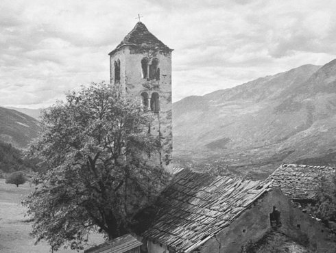
The Vinschgau cycling route runs along the edge of the Mals/Malles heath, the largest alluvial fan of the Alps. It takes you past the picturesque canals of the health towards the hamlet of Burgeis/Burgusio, overlooked by the Marienberg monastery. Continue to the edge of Mals/Malles, which is lined with many small towers, and cross the hamlets of Schleis/Clusio and Laatsch/Laudes before entering the medieval town of Glurns/Glorenza. The next section of the route takes you through meadows and apple orchards to Spondinig/Spondigna. Before entering the village, you will be treated to a sweeping view of Schluderns/Sluderno and Churburg castle on one side and the ruins of Lichtenberg castle on the other side. When you enter Mals/Malles, you are on the Sonnenberg, which is covered in dry grassland. The route finally crosses the valley through a marshland. At the foothills of the Stilfser Joch pass lies Prad/Prato.
For information about the entire route, contact
Via Claudia Augusta Info
www.viaclaudia.org/en
info@viaclaudia.org
0043 664 27 63 555
For specific questions about the region, contact the
Vinschgau tourist information
www.vinschgau.net/en
info@vinschgaumarketing.net
0039 0473 620 480

jump back to the beginning of the detailed description of the Altinate cycling routejump to northern Tyroljump to the Reschenpassjump to Trentojump to the whole history of the Via Claudia Augustajump to the history of the regions and towns along the Altinate routejump to the ‘twenty-four maps through the centuries’ for each region along the Via Claudia Augustajump to the full spectrum of culture across the regions and towns (Altinate)jump to the specialities of the regions and townsjump to the wines of the regions and towns


The heart of the fruitful Vinschgau valley lies on the foothills of the Sonnenberg mountain. The Roman road is likely to have passed this area, where the marble village of Laas/Lasa and the regional capital, the market town of Schlanders/Silandro, are located today. Nomadic herders and hunters were present here as early as the Neolithic, attracted by sunny weather and low rainfall due to the high mountain ranges in the north and south. Since Roman times or earlier, the locals have mined the famous marble of Laas/Lasa and Göflan/Covelano. The milestone of the Via Claudia Augusta found at Rabland/Rablà provides evidence of this. Schlanders/Silandro and Laas/Lasa are first mentioned in writing in records from the late 11th and early 12th century. In the 14th century, Schlanders/Silandro became the seat of the court.


Cycle across meadows and through apple orchards to reach the hamlet of Tschengels/Cengles with its castle. Continue to Laas/Lasa, cross the bridge over the Etsch river, and admire the town square made entirely of white marble. From Laas/Lasa, the route takes you through forests and meadows, mostly following the course of the river, which runs along the cooler southern side of the valley. High above the cycling route, you can see the famous marble quarries of Laas/Lasa and Göflan/Covelano. An inclined elevator connects them to the valley. When you reach Göflan, consider a detour to the center of the county capital of Schlanders/Silandro: its attractions include a truly picturesque pedestrian area. Leave Göflan and cycle through apple orchards to Morter.
For information, contact
Via Claudia Augusta Info
www.viaclaudia.org/en
info@viaclaudia.org
0043 664 27 63 555
For specific questions about the region, contact the
Vinschgau tourist information
www.vinschgau.net/en
info@vinschgaumarketing.net
0039 0473 620 480


jump back to the beginning of the detailed description of the Altinate cycling routejump to northern Tyroljump to the Reschenpassjump to Trentojump to the whole history of the Via Claudia Augustajump to the history of the regions and towns along the Altinate routejump to the ‘twenty-four maps through the centuries’ for each region along the Via Claudia Augustajump to the full spectrum of culture across the regions and towns (Altinate)jump to the specialities of the regions and townsjump to the wines of the regions and towns


There are about ten fortress complexes and stately homes dotted around the narrow pass in the middle of the geographical Vinschgau valley region, which stretches up all the way to the Töll/Tel valley step. They were built very close to each other and helped secure this strategically important location. The most important structures are Schloss Goldrain castle, the educational and cultural center of the Vinschgau valley, Kastelbell/Castelbello with its permanent exhibition on the Via Claudia Augusta, and Reinhold Messner’s summer residence of Juval, high up on the mountain. Blessed with a diverse microclimate offering plenty of sunshine, low precipitation and cool breezes at night, the region is home to a relatively recent tradition of growing a wide variety of quality wines. Kastelbell-Tschars/Castelbello-Ciardes is the largest wine-growing area in the valley, spanning an area of 25.5 hectares. Chardonnay, Pinot Blanc, Pinot Grigio, Gewürztraminer, Riesling, Vernatsch, Zweigelt and Pinot Noir ripen here.


From Schlanders/Silandro, you cycle across apple orchards, meadows and forests along the cooler southern side of the valley. Cross Morter and reach Latsch/Laces. The route crosses the lively, attractive center of the market town. It then leads you to the Etsch river, and you continue to cycle along its shore and through a gorge to Kastelbell/Castelbello. Like everywhere in the Vinschgau valley, cyclists feel extremely welcome in Kastelbell: the cycling route is the main thoroughfare through the village, a position normally reserved for cars. The tourist information office is right on the route. Continue along the Etsch river and the Vinschgerbahn railway. The railway connects the Vinschgau valley with the other regions of South Tyrol, and it caters perfectly to cyclists.
For information, contact
Via Claudia Augusta Info
www.viaclaudia.org/en
info@viaclaudia.org
0043 664 27 63 555
For specific questions about the region, contact the
Vinschgau tourist information
www.vinschgau.net/en
info@vinschgaumarketing.net
0039 0473 620 480
jump back to the beginning of the detailed description of the Altinate cycling routejump to northern Tyroljump to the Reschenpassjump to Trentojump to the whole history of the Via Claudia Augustajump to the history of the regions and towns along the Altinate routejump to the ‘twenty-four maps through the centuries’ for each region along the Via Claudia Augustajump to the full spectrum of culture across the regions and towns (Altinate)jump to the specialities of the regions and townsjump to the wines of the regions and towns


The lower Vinschgau valley, Naturns/Naturno, Plaus, Rabland/Rablà and Partschins/Parcines
- 24
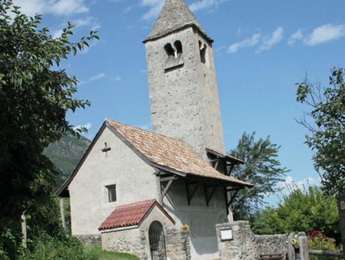
While the municipalities of Naturns/Naturno, Plaus and Partschins/Parcines are geographically part of the Vinschgau valley, they belong to the administrative district of Burggrafenamt and the tourism association of the Meran/Merano and environs. The earliest evidence of human settlement found on the southern mountain pass date back to the Mesolithic. The name ‘Naturns’ comes from the Celts and translates to ‘settlements on the meadow’. Human settlement of this region has continued uninterrupted. One of the two milestones of the Via Claudia Augusta was found in Rabland/Rablà. The Prokuluskirchlein, a little church in the eastern part of Naturns/Naturno, dates back to the 7th century. Its inner frescoes were probably painted in the 8th century, making them the oldest in the German-speaking cultural sphere. Visit the St. Prokulus museum to learn about the history of the region from its multimedial exhibition.


The cycling route crosses apple orchards and verdant meadows, following the Etsch river for long stretches as it leads you to Staben/Stava, Tschirland/Cirlano and Naturns/Naturno. The market town has one of the valley’s most lively centers, offering countless restaurants and shops. Although the cycling route follows the river, you have many opportunities to take a detour to the center. It offers some cultural and historical highlights: the St. Prokulus museum with its didactically well-prepared exhibits and the adjacent Prokuluskirchlein, a little church with spectacular frescoes, some of which date back to the 7th century. Continue along the Etsch river to Plaus and Rabland/Rablà, the site where one of the two historical milestones of the Via Claudia Augusta was discovered. The main district of the municipality of Partschins/Parcines is located a little way uphill from the route. The cycling route continues to the fault scarp at Töll/Tel, the geographical boundary of the Vinschgau valley and the site of a former toll station.
For information about the entire route, contact
Via Claudia Augusta Info
www.viaclaudia.org/en
info@viaclaudia.org
0043 664 27 63 555
For specific questions about the region, contact
www.suedtirol.info/en
info@suedtirol.info
0039 0471 999 999

jump back to the beginning of the detailed description of the Altinate cycling routejump to northern Tyroljump to the Reschenpassjump to Trentojump to the whole history of the Via Claudia Augustajump to the history of the regions and towns along the Altinate routejump to the ‘twenty-four maps through the centuries’ for each region along the Via Claudia Augustajump to the full spectrum of culture across the regions and towns (Altinate)jump to the specialities of the regions and townsjump to the wines of the regions and towns


The old bridge over the Etsch river in Algund/Lagundo, Marling/Marlengo and Meran/Merano
- 25
The 200-meter terrace near Töll/Tel takes you from the Vinschgau valley into the Mediterranean garden village of Algund/Lagundo. Its lower altitude and sheltered location make this region one of Italy’s warmest: palm trees, cypresses and olive trees grow alongside birch trees and sycamores. There are many gardens with southern plants here. They give the village a feeling of existing simultaneously in the Alps and the Mediterranean. The Roman road had a bridge here. It crossed the Etsch river near Schloss Forst castle, then headed back up the hill and onwards to the panoramic village of Marling/Marlengo on the western slopes above Meran/Merano. To this day, there are bridges over the Etsch river between Algund/Lagundo and Marling/Marlengo. The Brückenkopf museum in Algund/Lagundo tells the story of the historical ones. Two of the most beautiful canal paths lead through the beautiful landscapes dotted with vineyards and apple orchards, the Algunder Waal and the Marlinger Waal. In and around Meran/Merano, you will also find the only wellness spa along the Via Claudia Augusta, the gardens of Schloss Trauttmansdorf castle, and Schloss Tirol castle. The area is a holistic region of well-being awash with mother nature’s ripest bounty.


After passing the fault scarp of Töll/Tel, you enter one of the most spectacular sections of the Via Claudia Augusta cycling route. The garden village of Algund/Lagundo welcomes you with a pergola and oversized chairs from which you have a lovely view. A serpentine road takes you down into the village, where you get to enjoy a truly Mediterranean climate. In Algund/Lagundo and the nearby spa town of Meran/Merano, palm trees and other Mediterranean plants abound. Once you reach the bottom, explore the „Brückenkopf“ museum in Algund/Lagundo. It is dedicated to the remains of the Medieval bridge over the Etsch river that used to stand here. This is probably where the Romans crossed the river, too: it is the last possible section for a crossing before the river becomes as wide as the entire valley itself. Afterwards, you can either follow the cycle route to the edge of Meran/Merano and head to the center of the town to admire the famous covered alley or the spa house. Alternatively, cross the river on the wooden bridge in Algund/Lagundo and follow the old road to Marling/Marlengo.

jump back to the beginning of the detailed description of the Altinate cycling routejump to northern Tyroljump to the Reschenpassjump to Trentojump to the whole history of the Via Claudia Augustajump to the history of the regions and towns along the Altinate routejump to the ‘twenty-four maps through the centuries’ for each region along the Via Claudia Augustajump to the full spectrum of culture across the regions and towns (Altinate)jump to the specialities of the regions and townsjump to the wines of the regions and towns


Between Meran/Merano and Bolzano/Bozen, the Roman road crossed the Etschtal valley along its western slope. Prehistoric settlements existed on its many hills. In Nals/Nalles, archaeologists discovered a house with a underfloor heating system, bathing complex and apsis from late antiquity. The Aschbach river in Gargazon/Gargazzone marked the boundary between the Roman provinces of Rhaetia I and Rhaetia II. To this day, this region is a border region. From the 13th century onwards, countless fortresses sprang up, giving the area the highest density of castles in Europe. Some of the towns in the region are very old: St. George’s Church and St. Margaret’s Church in Lana both date back to the 9th century, for instance. The locals lived off the produce of their land and business which the road brought; some worked in mining. Important silver mines existed in Nals/Nalles and Terlan/Terlano. In the 15th century, as many as 1000 miners were digging for ores in more than 30 pits in Terlan/Terlano alone. From Andrian/Andriano onwards, the Etsch river was navigable, facilitating the transport of silver to the south.


To get from Marling/Marlengo to Bolzano/Bozen, either take the Etschtal cycle path, which runs across the bottom of the valley in a straight line, or cycle through the picturesque villages of Tscherms/Cermes, Oberlana/Lana di Sopra, Mitterlana/Lana di Mezzo, Niederlana/Lana di Sotto, Nals/Nalles and Andrian/Andriano. Each of them has plenty for you to discover. The parish church of Niederlana/Lana di Sotto and the South Tyrolean Museum of Fruit-Growing just around the corner are particularly worth seeing. Keep looking up as you cycle along the route, and you will spot castle upon castle.
For information about the entire route, contact
Via Claudia Augusta Info
www.viaclaudia.org/en
info@viaclaudia.org
0043 664 27 63 555
For specific questions about the region, contact
www.suedtirol.info/en
info@suedtirol.info
0039 0471 999 999


jump back to the beginning of the detailed description of the Altinate cycling routejump to northern Tyroljump to the Reschenpassjump to Trentojump to the whole history of the Via Claudia Augustajump to the history of the regions and towns along the Altinate routejump to the ‘twenty-four maps through the centuries’ for each region along the Via Claudia Augustajump to the full spectrum of culture across the regions and towns (Altinate)jump to the specialities of the regions and townsjump to the wines of the regions and towns


Researchers believe that the Pons Drusi, a bridge on the Roman road that is mentioned in early records, was located at the spot where today’s Drusus Bridge crosses the Eisack river, a little way to the west of its confluence of the Talfer and the Eisack. Before, it crossed the Etsch and the valley basin at the foot of Siegmundskron castle. The valley basin is occupied entirely by the capital of the autonomous province today. Between 1170 and 1180, the town was built as a planned market settlement with a central street and a marketplace (the Kornplatz). It was expanded several times later.


Once you reach Frangart/Frangarto, you are in Bolzano/Bozen. Siegmundskron castle thrones above the town. It houses the Messner Mountain Museum, a museum created by the famous mountaineer Reinhold Messner. You can either follow the Etschtal cycle path along the valley, perhaps take a little detour to the city center along the Eisack river, or cycle along the wine road through the villages of Eppan/Apiano and Kaltern am See/Caldaro. The center of Bolzano/Bozen is a melting pot of ancient history and vibrant modernity that blends the German and Italian lifestyles into a unique mixture. Along the Wine Road, which you reach on a former railway track, you can visit famous wine-growing villages and Kalterer See lake.
jump back to the beginning of the detailed description of the Altinate cycling routejump to northern Tyroljump to the Reschenpassjump to Trentojump to the whole history of the Via Claudia Augustajump to the history of the regions and towns along the Altinate routejump to the ‘twenty-four maps through the centuries’ for each region along the Via Claudia Augustajump to the full spectrum of culture across the regions and towns (Altinate)jump to the specialities of the regions and townsjump to the wines of the regions and towns


Bridges used to be expensive and difficult to build and maintain. That is why they were few and far between, and a road had to be built into the slopes on both sides of the river. A Roman road probably ran along today’s South Tyrolean Wine Road, crossing the well-known wine-growing villages of St. Pauls/San Paolo, St. Michael/San Michele, Kaltern am See/Caldaro, Tramin/Termeno, Kurtatsch/Cortaccia, Margreid/Magrè, and Kurtinig/Cortina. The Via Claudia Augusta itself is likely to have clung to the eastern slope on its way to the south. It would have led from the foot of the striking Castelfeder hill in Auer/Ora, which has been a site of human settlement for millennia, to the proven Roman road station of Endidae in the modern village of Neumarkt/Egna and onwards to Salorno/Salurn, where the famous Salurner Klause used to be. From Bronzolo/Branzoll near South Tyrol’s southernmost and most recently built city, Laives/Leifers, the Etsch river was navigable by raft. Until the construction of the railway, it was the most important transportation route for the economy of South Tyrol and Trentino.


The cycling route follows the Etsch river to Vadena/Pfatten, leading you to the edge of the town of Laives/Leifers and onwards to Bronzolo/Branzoll. Between the two towns, the river used to serve the purpose of an alternative transportation route for heavy loads. Just before you reach Auer/Ora, you can cross from the route along the Etsch river to that along the Wine Road or vice versa. The Wine Road route will lead you through the pretty wine-growing villages of Tramin/Termeno, Kurtatsch/Cortaccia, Magreid/Magrè and Kurtinig/Cortina before taking you to Salorno/Salurn. The route along the river first leads to Auer/Ora. This quaint village is situated at the foot of the striking Castelfeder hill. Afterwards, you cycle through Neumarkt/Egna, where the Roman road station of Endidae used to stand. Laag/Laghetti, a district of Neumarkt/Egna, is probably named after a lake that was created by the drift of the Noce river and separated the valley into two parts. As you approach the gorge, you reach the picturesque town of Salorno/Salurn. Haderburg castle, which towers above the town, was built to protect the strategically significant spot that forms the boundary between the German-speaking and Italian-speaking parts of the region today.
For information about the entire route, contact
Via Claudia Augusta Info
www.viaclaudia.org/en
info@viaclaudia.org
0043 664 27 63 555
For specific questions about the region, contact
www.suedtirol.info/en
info@suedtirol.info
0039 0471 999 999


jump back to the beginning of the detailed description of the Altinate cycling routejump to northern Tyroljump to the Reschenpassjump to Trentojump to the whole history of the Via Claudia Augustajump to the history of the regions and towns along the Altinate routejump to the ‘twenty-four maps through the centuries’ for each region along the Via Claudia Augustajump to the full spectrum of culture across the regions and towns (Altinate)jump to the specialities of the regions and townsjump to the wines of the regions and towns


The drift washed up by the Noce river from the Nonstal valley dammed the Etsch river, creating a large lake that filled the entire valley. It formed a natural border between the municipalities in the south of South Tyrol, those of the Nonstal valley, and those to the north of Trento. This made it more difficult for the people of the various localities to interact with each other and contributed to the emergence of the language border between the German-speaking and Italian-speaking areas. Today, the inhabitants of the Piana Rotaliana all speak Italian. But the water also created a border across the region: Mezzocorona (Kronmetz), today’s agricultural center, is culturally more German, while the traditional mercantile centers of Mezzolombardo at the entrance to the Nonstal valley and Lavis at the entrance of the Avisio valley are culturally Italian with impressive palazzi. The lake no longer exists. The soil on the drift from the Noce river is particularly fertile. All of the Piana Rotaliana and its slopes are covered in vineyards, where the famous Teroldego grapes ripen – a regional specialty. The former Foundation of San Michele all’Adige contributed considerably to the flourishing of this region. To this day, its Istituto Agrario is the agricultural competence center of the entire Trentino, and its local-history museum documents the customs and traditions of the state. Of all the palaces and fortresses in the region, the San Gottardo grotto castle behind Mezzocorona is the best known.


If you simply follow the Etschtal cycle path rather than the route through the Piana Rotaliana, you will miss out on quite a few sights. The plain where the Noce flows into the Etsch river is covered nearly entirely in Teroldego grapevines, a variety of grape that originates here. First, the cycling route takes you to Roverè della Luna and Mezzocorona, the agricultural center of the plain, overlooked by the St. Gotthard castle, which was built into a crevice of the rock. A cable car takes you to the Monte plateau on the summit, offering spectacular views of the plain. Mezzolombardo, the next stop on the route, is the commercial center of the region. Traditionally, San Michele used to be its cultural counterpart on account of its monastery. Today, the former monastery houses the agricultural center of Trentino and an interesting museum of local folklore. In the southern part of the Piana Rotaliana lies the former river port of Nave San Rocco, the asparagus-growing town of Zambana, and the town of Lavis, whose beautiful center and hanging gardens make for a lovely walk.
Highlight:
Hängende Gärten der Ciucioi in Lavis


jump back to the beginning of the detailed description of the Altinate cycling routejump to northern Tyroljump to the Reschenpassjump to Trentojump to the whole history of the Via Claudia Augustajump to the history of the regions and towns along the Altinate routejump to the ‘twenty-four maps through the centuries’ for each region along the Via Claudia Augustajump to the full spectrum of culture across the regions and towns (Altinate)jump to the specialities of the regions and townsjump to the wines of the regions and towns


jump back to the beginning of the detailed description of the Altinate cycling routejump to northern Tyroljump to the Reschenpassjump to Trentojump to the whole history of the Via Claudia Augustajump to the history of the regions and towns along the Altinate routejump to the ‘twenty-four maps through the centuries’ for each region along the Via Claudia Augustajump to the full spectrum of culture across the regions and towns (Altinate)jump to the specialities of the regions and townsjump to the wines of the regions and towns


Trento (towards Feltre, Treviso, Altino, Venice) Tridentum, a Roman traffic hub
- 31a
As the name suggests, Trento has Rhaetian origins. It was already an important traffic hub during their time. In Tridentum, the Via Claudia Augusta forked. One section, the Via Claudia Augusta Altinate, led to the Adriatic port town of Altinum near today’s Venice. The other section, the Via Claudia Augusta Padana, continued to the riverport of Ostiglia on the Po. From there, another road led to Rome. The later historical significance of the city is primarily due to the Council of Trent (1545–1563). It initiated the Counter-Reformation and delineated its intellectual foundations. The map of today’s Old Town was shaped significantly during that period. Later, Baroque buildings were added to the Renaissance-style district. Until the invasion of the Napoleonic Troops, the prince-bishops of Trento rules over the city and the surrounding region from the their base in the majestic Buonconsiglio Castle.
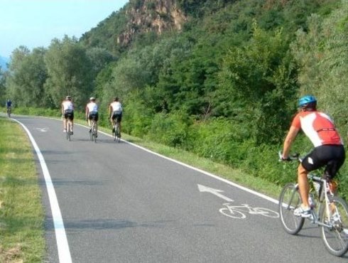


The Avisio river forms the boundary between Lavis and the northern parts of Trento, the capital of Trentino. The cycling route runs to Lavis at the edge of the village, where it crosses the river. You return to the banks of the Etsch river once again and cycle to the center of Trento at a leisurely pace. Founded during Roman times, it is the birthplace of the Counter-Reformation. The old town was spruced up impressively in the Renaissance style for the Council of Trent. Buonconsiglio castle also reflects the monumental event. Underneath the city, you can visit excavations of the ancient Roman city of Tridentum. The cycling route towards Altino takes you to the north of the city again, where you will climb the ascent between the Etschtal valley and Valsugana, following the track of the old Roman road. You are treated to lovely views of the city behind you. Along the way, you will pass the Ecomuseo Argentario, which documents the silver mining past of the region. Once you reach the Valsugana, the route takes you past a fortress from the First World War and through pretty villages and stunning natural landscapes. In Pergine, you cycle along the Via Maier road, which dates back to the Renaissance. The cycling route continues along the foot of the Castello di Pergine and above Levicosee lake as you head towards Levico Terme, a spa and garrison town founded by the Habsburgs.
jump back to the beginning of the detailed description of the Altinate cycling routejump to northern Tyroljump to the Reschenpassjump to Trentojump to the whole history of the Via Claudia Augustajump to the history of the regions and towns along the Altinate routejump to the ‘twenty-four maps through the centuries’ for each region along the Via Claudia Augustajump to the full spectrum of culture across the regions and towns (Altinate)jump to the specialities of the regions and townsjump to the wines of the regions and towns


Archaeological excavations have produced evidence of early human settlement in the valley between Trento and Veneto. Castles, such as that towering above Pergine, helped their inhabitants monitor the crucial road. The Alta Valsugana has been in Trento’s sphere of influence ever since. During the First World War, the region was a fiercely contested battleground: the border between Austro-Hungary and Italy was right around the corner, to the south of the high plateau of Lavarone. Countless fortress complexes bear witness to that period. Two large swimming lakes, the Caldonazzosee and Levicosee, characterize the area. The Valsugana has been a popular spa destination since the time of the House of Habsburg, offering the spa towns of Levico Terme and Roncegno Terme.


The cycling route takes you from Trento through the Ecomuseo Argentario, which documents the silver mining past of the region, before continuing to Civezzano. The Civezzano fortress from the First World War guards the entrance to the Valsugana. You cycle through pretty villages and picturesque landscapes. In Pergine, you follow the Via Maier road, which dates back to the Renaissance. The cycling route then continues along the foot of the Castello di Pergine and above Levicosee lake as you head towards Levico Terme, a spa town founded by the Habsburgs.
For information about the entire route, contact the
Via Claudia Augusta Info
www.viaclaudia.org/en
info@viaclaudia.org
0043 664 27 63 555
For specific questions about the region, contact the
tourist information office of the APT Valsugana Lagorai
www.visitvalsugana.it/en
38057 Pergine Valsugana, Piazza Serra, 10
38056 Levico Terme, Viale Vittorio Emanuele III, 3
38051 Borgo Valsugana, Piazza De Gasperi
38053 Castello Tesino, Via Dante, 10
info@visitvalsugana.it
0039 0461 727 700


jump back to the beginning of the detailed description of the Altinate cycling routejump to northern Tyroljump to the Reschenpassjump to Trentojump to the whole history of the Via Claudia Augustajump to the history of the regions and towns along the Altinate routejump to the ‘twenty-four maps through the centuries’ for each region along the Via Claudia Augustajump to the full spectrum of culture across the regions and towns (Altinate)jump to the specialities of the regions and townsjump to the wines of the regions and towns


The Torre Quadra, a tower on the meadow next to the road leading up to Novaledo, is a remnant of the dam that used to cross the valley here. This is where Trento’s sphere of influence bordered that of Feltre. You will notice the Venetian influence in the medieval commune of Borgo Valsugana immediately. It is likely that the Roman road also ran along the sunny slopes of the central Valsugana. Several fortresses line its path. In the valley basin to the east of Borgo, the Via Claudia Augusta ascended towards the mountain again: the Brenta river used to flood the valley here, making it impassable on a regular basis.


From Levico, the cycling route takes you to the picturesque district of Selva and continues along the bottom of the valley. It follows the Brenta cycling route until Marter before leading you through the second spa town of the Valsugana: Roncegno Terme. From here, you cycle across verdant meadows to Borgo, with the Castel Telvana providing a splendid backdrop. Borgo is the main district of the Media and Bassa Valsugana. The road through the historical town center corresponds to the Via Claudia Augusta. After you leave Borgo, you continue to Castelnuovo, where you can take in lovely views of Ivano castle. Gradually climb from the bottom of the valley to the Tesino high plateau. Do not forget to look back and soak up the wonderful views over the valley.
For information about the entire route, contact the
Via Claudia Augusta Info
www.viaclaudia.org/en
info@viaclaudia.org
0043 664 27 63 555
For specific questions about the region, contact the
tourist information office of the APT Valsugana Lagorai
www.visitvalsugana.it/en
38057 Pergine Valsugana, Piazza Serra, 10
38056 Levico Terme, Viale Vittorio Emanuele III, 3
38051 Borgo Valsugana, Piazza De Gasperi
38053 Castello Tesino, Via Dante, 10
info@visitvalsugana.it
0039 0461 727 700

jump back to the beginning of the detailed description of the Altinate cycling routejump to northern Tyroljump to the Reschenpassjump to Trentojump to the whole history of the Via Claudia Augustajump to the history of the regions and towns along the Altinate routejump to the ‘twenty-four maps through the centuries’ for each region along the Via Claudia Augustajump to the full spectrum of culture across the regions and towns (Altinate)jump to the specialities of the regions and townsjump to the wines of the regions and towns


The Roman road ascended from the Valsugana to the Tesino high valley, crossing the deep river valley of the Senaiga at the regional border between Trentino and Veneto before heading across the Croce D‘Aune Pass to Feltre. Following in its footsteps, the hiking route takes you through diverse landscapes and picturesque villages as it reaches the gateway to the Dolomites. The important old road has left its marks along its route. Lamon is where the internationally renowned Lamon beans are grown, by the way.


Once you reach Bieno, you have mastered the hardest part of the ascent. This makes the town feel like a part of the Tesino high plateau. Running through an idyllic landscape, the cycling route crosses a wild stream and takes you past a lake into the picturesque town of Pieve Tesino, which it traverses in its entirety. It is said that the hill above Castello Tesino used to be the site of a Roman fortress. Continue along beautiful mountain roads to Lamon. The Roman road used to cross the gorge of the Senaiga stream on the other side of the valley before traversing the picture-perfect town of San Donato, where a Roman cemetery remains as testimony to an ancient settlement. If you do not mind gravel paths, take this route and be rewarded with stunning nature and fascinating historical insights. Lamon and the next town of Sovramonte are located on the edge of the Dolomiti Bellunesi National Park. Cycle through a ravine just before Sovramonte, then continue steadily towards the Passo Croce D’Aune. A bicycle shuttle is available to take you up to the Tesino High Valley and from Ponte Oltra to the Croce D’Aune Pass. You can book it by text message.
For information about the entire route, contact the
Via Claudia Augusta Info
www.viaclaudia.org/en
info@viaclaudia.org
0043 664 27 63 555
For specific questions about the region up to Castello Tesino, contact
the tourist information office of the APT Valsugana Lagorai
www.visitvalsugana.it/en
38057 Pergine Valsugana, Piazza Serra, 10
38056 Levico Terme, Viale Vittorio Emanuele III, 3
38051 Borgo Valsugana, Piazza De Gasperi
38053 Castello Tesino, Via Dante, 10
info@visitvalsugana.it
0039 0461 727 700
For specific questions about the region from San Donato (municipality of Lamon) onwards, contact
the tourist information office of the Consorzio Turistico Dolomiti Prealpi
www.dolomitiprealpi.it/en
32032 Feltre, Piazza Vittorio Emanuele II, 21
32026 Mel, Piazza Papa Luciani
info@dolomitiprealpi
0039 329 272 900


jump back to the beginning of the detailed description of the Altinate cycling routejump to northern Tyroljump to the Reschenpassjump to Trentojump to the whole history of the Via Claudia Augustajump to the history of the regions and towns along the Altinate routejump to the ‘twenty-four maps through the centuries’ for each region along the Via Claudia Augustajump to the full spectrum of culture across the regions and towns (Altinate)jump to the specialities of the regions and townsjump to the wines of the regions and towns


Feltre has been a traffic hub since prehistoric times. The narrow mountain ridge on which its attractive old town stands and the surrounding sunny slopes have also been inhabited ever since. We know this because of the Etruscan name of Feltre and many archaeological findings. The Roman road Via Claudia Augusta did not lead directly into the town. Instead, it ran in a straight line from the Croce D’Aune Pass to Cesiomaggiore, clinging to the slope. Feltria was a significant Roman town. Its architecture and layout clearly exhibit the influence of the Doges of Venice. Feltre’s sphere of influence reached all the way to the Valsugana at times.


Descend from the Croce D‘Aune Pass towards Feltre along a winding road. You will reach the historic city through Pedavena, which beckons you to take a rest and have a beer at Italy’s largest Birreria. The cycling route takes you through the pedestrian shopping area of Feltre, along the town’s medieval city walls. You can access the historical center by taking the steps or the lift, which departs in a tunnel underneath the city. Having left Feltre, you will cycle through a picturesque boulevard with magnificent views of the Alpine foothills, past the splendid Ville Venete and through quaint villages to reach Cesiomaggiore. This town is the discovery site of one of the two historical milestones that document the construction of the Via Claudia Augusta. The Roman road crossed the river between Santa Giustina and Mel. The cycling route, on the other hand, crosses it between Busche and Cesana: another historical river crossing that functions as a dam for the wild stream today. Downhill from the reservoir lies a popular beach with a café.
For information, contact
Via Claudia Augusta Info
www.viaclaudia.org/en
info@viaclaudia.org
0043 664 27 63 555
For specific questions about the region, contact
the tourist information office of the Consorzio Turistico Dolomiti Prealpi
www.dolomitiprealpi.it/en
32032 Feltre, Piazza Vittorio Emanuele II, 21
32026 Mel, Piazza Papa Luciani
info@dolomitiprealpi
0039 329 272 900
The difference between chestnuts and sweet chestnuts
The Feltrino region surrounding Feltre is famous for its chestnuts and sweet chestnuts, the castagne feltrine and maroni feltrini, which are an important ingredient of the local cuisine. But what is the difference between chestnuts (castagne) and sweet chestnuts (maroni)? Maroni are a variety of the original castanea sativa. They have been bred to be somewhat larger, easier to peel, and more intense in flavor.
Feltrino, a part of the Rhaetian cultural sphereThe Alpine Rhaetians, Veneti and Ligures are considered separate peoples who lived at the same time as the Celts. The Feltrino region used to be a part of the Rhaetian cultural sphere.


jump back to the beginning of the detailed description of the Altinate cycling routejump to northern Tyroljump to the Reschenpassjump to Trentojump to the whole history of the Via Claudia Augustajump to the history of the regions and towns along the Altinate routejump to the ‘twenty-four maps through the centuries’ for each region along the Via Claudia Augustajump to the full spectrum of culture across the regions and towns (Altinate)jump to the specialities of the regions and townsjump to the wines of the regions and towns


The Valbelluna is the southern part of the Valle del Piave between the provincial capital of Belluno and the border with the province of Treviso to the south. It used to be called Val Serpentina in the past. Nestled between the foothills of the Dolomites and the last mountain ridge before the Venetian Plain, this stunning valley is dominated by the wide and largely untouched riverbed of the Piave. In Roman times as today, there have never been many bridges crossing the river. One of the few that did exist stood between Santa Giustina and the municipality of Borgo Valbelluna – strictly speaking, its capital of Mel, picturesquely located on a hill. The name ‘Nave’ (= ship) reminds us of the historical river crossing. On the southern slope between Mel and Lentiai, the Castello di Zumelle thrones above the valley. In this section, the Roman road climbed its southernmost pass, the Praderadego. Between Borgo Valbelluna and the municipalities of Quero Vas and Alano di Piave, the valley narrowed and was occasionally flooded by the Piave. This made it unsuitable for a road like the Via Claudia Augusta, which was built to ensure military reinforcements.
Another pass?
The Via Claudia Augusta probably crossed the Praderadego pass rather than following the Piave through the Piave valley. It was primarily built as a military road, which means that it had to be passable at all times, regardless of weather, to ensure that military reinforcements could travel unhindered. During storms, the Piave would flood the valley completely. That is why the Romans probably preferred to scale another pass. It is likely that there was another road along the Piave for use in clear conditions.


Back in the day, the old Roman road crossed the Piave river on a ford between Santa Giustina and the Nave district of the municipality of Borgo Valbelluna. Its name, ‘Nave’, is a clear indicator. Another Roman crossing probably used to exist where the cycling route crosses the river today, between Busche and Cesana. After you cross the river, you will need to make a decision: either tackle the picturesque Praderadego pass on your own, take a shuttle across the pass (book by text message, www.viaclaudia.org), or leave the Romans’ tracks briefly to follow the river and cycle along a relatively busy road towards Valdobbiadene. You can continue to the southern side of the pass from there. The view from the Praderadego over the Prosecco Hills is well worth it. In clear conditions, you can see all the way to the Venetian Lagoon. The route through the Valbelluna towards Praderadego leads you to Lentiai through several villages. In Bardies, the road starts its ascent towards the pass. From Corte, you can take a detour to the main district of Mel, where the shuttle to the pass departs from the piazza (alternatively, embark in Bardies).
For information, contact
Via Claudia Augusta Info
www.viaclaudia.org/en
info@viaclaudia.org
0043 664 27 63 555
For specific questions about the region, contact the
tourist information office of the Consorzio Turistico Dolomiti Prealpi
www.dolomitiprealpi.it/en
32032 Feltre, Piazza Vittorio Emanuele II, 21
32026 Mel, Piazza Papa Luciani
info@dolomitiprealpi
0039 329 272 900
jump back to the beginning of the detailed description of the Altinate cycling routejump to northern Tyroljump to the Reschenpassjump to Trentojump to the whole history of the Via Claudia Augustajump to the history of the regions and towns along the Altinate routejump to the ‘twenty-four maps through the centuries’ for each region along the Via Claudia Augustajump to the full spectrum of culture across the regions and towns (Altinate)jump to the specialities of the regions and townsjump to the wines of the regions and towns


The transition from the Alps to the Venetian Plain is gradual rather than abrupt. To the south of the last mountain ridge and the last pass of the Via Claudia Augusta lies the front garden of the Alps: the Prosecco wine hills of the Altamarca, the northernmost part of Treviso. Two wine roads snake their way through the picturesque region, taking travellers past interesting sights, pretty wine-growing villages and the best wine they will find. They are the Strada del Prosecco e Vini dei Colli Conegliano Valdobbiadene and the Strada del Vino del Montello e dei Colli Asolani.


From Bardies, the route starts its ascent towards Praderadego. The road leads you past picturesque villages and the Castello di Zumelle. On the idyllic peak of the pass, a mountain inn and a simple guesthouse await weary travelers. Head a little further and you will be treated to a spectacular view of the Prosecco Hills and the Venetian plain. In good conditions, you can even see the lagoon. Continue down a serpentine road into the Valmareno. Take in the magnificent views of the Renaissance castle of Castelbrando, which is worth a little detour. The cycling route now takes you through the villages of Follina (with a very interesting abbey) and Pieve di Soligo. Cycle past the Castello Collalto to cross the Prosecco Hills before you reach Susegana and Santa Lucia di Piave. As the name suggests, the district of Ponte della Priula, which belongs to Susegana, is home to one of only few bridges across the Piave river. Here, the cycling route switches to the right riverbank. You will see a little of each side of the river, according to the theories of historians who believe that the Roman road Via Claudia Augusta also switched between the two sides.
For information about the entire route, contact the
Via Claudia Augusta Info
www.viaclaudia.org/en
info@viaclaudia.org
0043 664 27 63 555
For specific questions about the region up to Praderadego/Quero-Vas, contact
the tourist information office of the Consorzio Turistico Dolomiti Prealpi
www.dolomitiprealpi.it/en
32032 Feltre, Piazza Vittorio Emanuele II, 21
32026 Mel, Piazza Papa Luciani
info@dolomitiprealpi
0039 329 272 900
For specific questions about the region from Praderadego/Valdobbiadene onwards, contact
the Consorzio Turistico Marca Treviso
www.marcatreviso.it
info@marcatreviso.it
0039 0422 595 790
jump back to the beginning of the detailed description of the Altinate cycling routejump to northern Tyroljump to the Reschenpassjump to Trentojump to the whole history of the Via Claudia Augustajump to the history of the regions and towns along the Altinate routejump to the ‘twenty-four maps through the centuries’ for each region along the Via Claudia Augustajump to the full spectrum of culture across the regions and towns (Altinate)jump to the specialities of the regions and townsjump to the wines of the regions and towns


There are several theories about the course of the Via Claudia Augusta, and Italian archaeologists are yet to reach consensus on which is correct. That is why, after crossing the Prosecco Hills to the left of the Piave (teoria sinistra Piave), our cycling route follows the teoria destra Piave for a little while, running along the barely regulated, wide right-hand bank of the river. The alluvial area at the center of the Trevisan Plain was always a region of transit, influenced by a wide range of factors. It is likely that there was a settlement here during Roman times. Even the name Spresiano is said to have Roman origins. The towns of Nervesa della Battaglia, Spresiano and Villorba are documented as early as the 10th century. This region was not blessed with fertile soil. Only the ford across the Piave and the raft-making business created work for some of the local residents. The population was poor; their situation only improved after the Republic of Venice built irrigation systems. Many Ville Venete, which are typical of the region, date back to that area. The region suffered great losses during the two battles of the River Piave during the First World War. Nervesa della Battaglia, which is even named after a battle, was razed to the ground nearly completely. Today, the ruins of the 14th-century Saint Eustace Abbey remind visitors of the tragedy. The towns only began to flourish when a textile industry developed after the Second World War.


After you cross the wide riverbed of the Piave, the cycling route reveals the many facets of the Venetian Plain: nature, expansive agricultural fields, sleepy settlements and lively towns make up the area surrounding Treviso. Before you head south, consider visiting Nervesa della Battaglia. Its name and the ruins of the Saint Eustace Abbey are memorials to an especially fierce battle of the First World War. In the north of the municipality, you will find the wine-growing and local recreation area of Montello e Colli Asolani. After Spresiano, the cycling route leads you back to the Piave once more. In Palazzon, you will see the remnants of a medieval river port. Continue to Treviso, passing through Lovandina and Villorba on the way. Villorba is home to particularly many Ville Venete, which are typical of the region. One of them is used representatively by the municipal administration.
For information about the entire route, contact the
Via Claudia Augusta Info
www.viaclaudia.org/en
info@viaclaudia.org
0043 664 27 63 555
For specific questions about the region, contact the
Consorzio Turistico Marca Treviso
www.marcatreviso.it
info@marcatreviso.it
0039 0422 595 790
jump back to the beginning of the detailed description of the Altinate cycling routejump to northern Tyroljump to the Reschenpassjump to Trentojump to the whole history of the Via Claudia Augustajump to the history of the regions and towns along the Altinate routejump to the ‘twenty-four maps through the centuries’ for each region along the Via Claudia Augustajump to the full spectrum of culture across the regions and towns (Altinate)jump to the specialities of the regions and townsjump to the wines of the regions and towns


Treviso is located at the center of an agricultural region at the confluence of the Botteniga and the Sile. Humans settled here as early as the Bronze Age. In 49 B. C., the Romans granted town privileges to Tarvisium. It was mentioned as an episcopal see as early as 396 A. D. Following a long period of disputes, during which Venice demanded the liberalization of trade by the provinces of Padua and Treviso, the city was ultimately incorporated into the Republic of Venice over the course of several centuries. Its extensive old town is enclosed nearly entirely by a wall and a canal that runs along its outside. A wide network of canals inside the city gave Treviso its nickname of ‘città delle acque’. It is also considered a ‘città dell‘arte’.


Coming from Villorba, the cycling route approaches the Porta San Tomaso – one of many gates leading to the old town – in a straight line. The old town is guarded by a towering wall overlooking lawns and a canal. The cycling route runs around the old town counter-clockwise. Afterwards, it follows the River Sile towards the Sile Natural Park.
For information about the entire route, contact the
Via Claudia Augusta Info
www.viaclaudia.org/en
info@viaclaudia.org
0043 664 27 63 555
For specific questions about the region, contact the
Consorzio Turistico Marca Treviso
www.marcatreviso.it
info@marcatreviso.it
0039 0422 595 790
jump back to the beginning of the detailed description of the Altinate cycling routejump to northern Tyroljump to the Reschenpassjump to Trentojump to the whole history of the Via Claudia Augustajump to the history of the regions and towns along the Altinate routejump to the ‘twenty-four maps through the centuries’ for each region along the Via Claudia Augustajump to the full spectrum of culture across the regions and towns (Altinate)jump to the specialities of the regions and townsjump to the wines of the regions and towns


The villages to the south of Treviso are connected by the old road and by the natural park that stretches along the Sile. This picturesque river is truly unique: it remains calm during storms, maintains the same temperature all year round and carries very little debris. Its soil is ideal for water plants. House boats and excursion cruisers travel along this natural jewel between Venice and Treviso. Human settlements have existed in the area along the river since the Neolithic. Its oldest towns were mentioned as early as the 11th and 12th century, and they are all on the route of the old Roman road. Today, a tarmac road follows some of the old track. In Roncade, consider visiting the Castello di Roncade, which stores and sells its very own wines.


As you head towards Quarto D‘Altino, the cycling route initially follows the Sile cycle path through the Sile Nature Park in the village of Silea. It crosses the river in Cendron and continues along the perfectly straight route of the Via Claudia Augusta through the municipal territory of Roncade. Take a detour to the center to visit the Castello di Roncade, then continue through the picturesque town of Musestre and cross the Sile to the piazza of Quarto D‘Altino.
For information about the entire route, contact the
Via Claudia Augusta Info
www.viaclaudia.org/en
info@viaclaudia.org
0043 664 27 63 555
For specific questions about the region, contact the
Consorzio Turistico Marca Treviso
www.marcatreviso.it
info@marcatreviso.it
0039 0422 595 790

jump back to the beginning of the detailed description of the Altinate cycling routejump to northern Tyroljump to the Reschenpassjump to Trentojump to the whole history of the Via Claudia Augustajump to the history of the regions and towns along the Altinate routejump to the ‘twenty-four maps through the centuries’ for each region along the Via Claudia Augustajump to the full spectrum of culture across the regions and towns (Altinate)jump to the specialities of the regions and townsjump to the wines of the regions and towns


Can you imagine? Venice did not exist during Roman times. Back then, the ancient port city on the lagoon, right at the mouth of the Sile river, was called Altinum. Several Roman roads started and ended here, which shows the commercial significance of the city. Only after the fall of the Roman Empire did the settlements move to the more sheltered area of the lagoon. But the Roman road remained in use, as shown by the various towns and villages founded along its route. Today, the hamlet of Altino in the municipality of Quarto D‘Altino (a part of the listed port area) is home to an excavation site and an archaeological museum. As the area has dried up, it is no longer located next to the water. From the nearby port, you can take boat trips to Venice and Treviso along the Sile.


Both the Roman road and the Via Claudia Augusta cycling route run from Quarto D‘Altino to Altino, the site of an ancient Adriatic port at the edge of the lagoon. It offers an interesting archaeological museum with a three-dimensional model of the port town. If you want to spend a few days relaxing after your big cycling tour, we recommend that you stay in Quarto d’Altino: it is quieter and more reasonably priced. You can take a train or a barca (boat) to Venice from there. Of course, you can also cycle to Trevio or to the Lido di Jesolo.
For information about the entire route, contact the
Via Claudia Augusta Info
www.viaclaudia.org/en
info@viaclaudia.org
0043 664 27 63 555
For specific questions about the region, contact the
Consorzio Turistico Marca Treviso
www.marcatreviso.it
info@marcatreviso.it
0039 0422 595 790

jump back to the beginning of the detailed description of the Altinate cycling routejump to northern Tyroljump to the Reschenpassjump to Trentojump to the whole history of the Via Claudia Augustajump to the history of the regions and towns along the Altinate routejump to the ‘twenty-four maps through the centuries’ for each region along the Via Claudia Augustajump to the full spectrum of culture across the regions and towns (Altinate)jump to the specialities of the regions and townsjump to the wines of the regions and towns


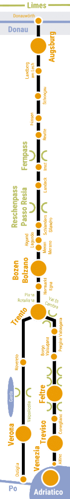
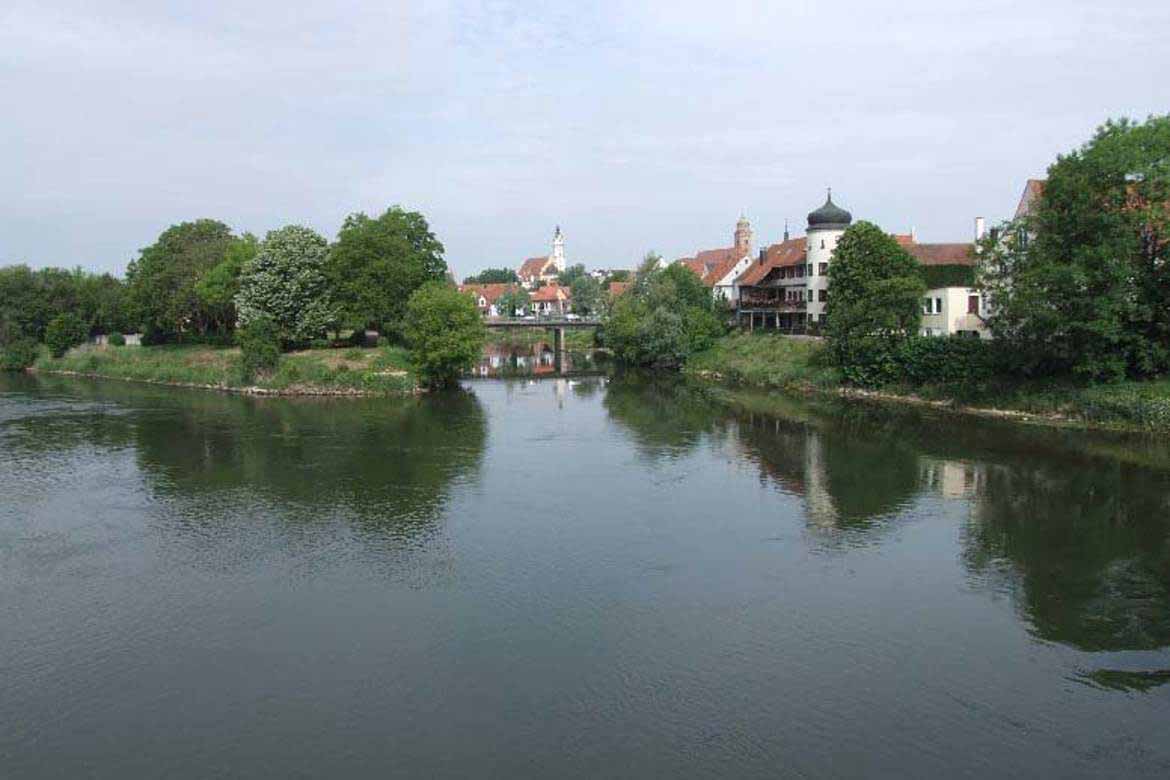
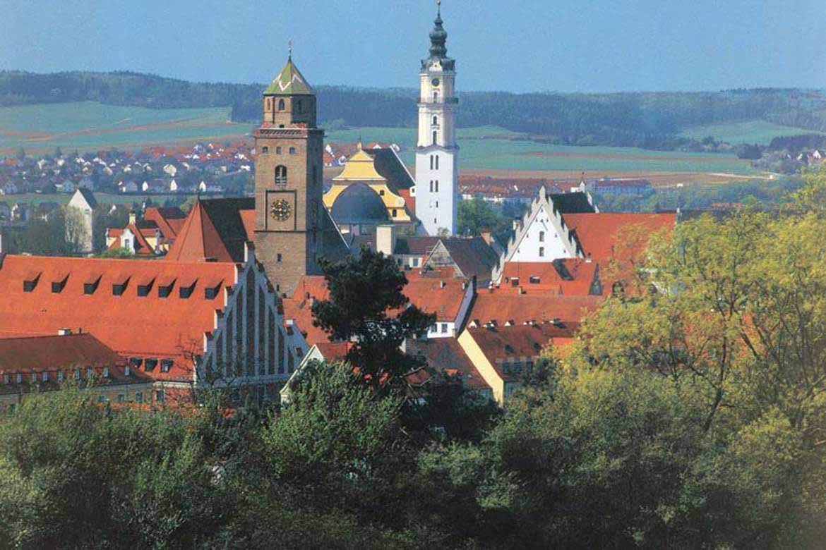
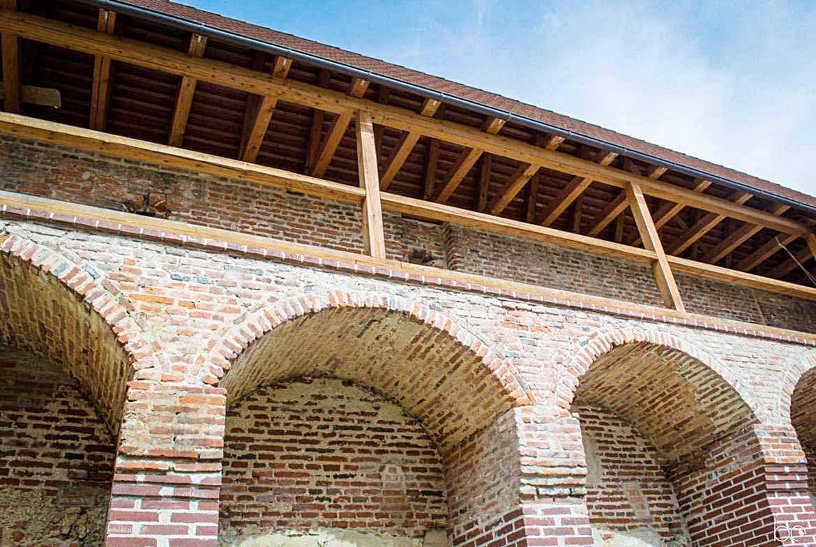
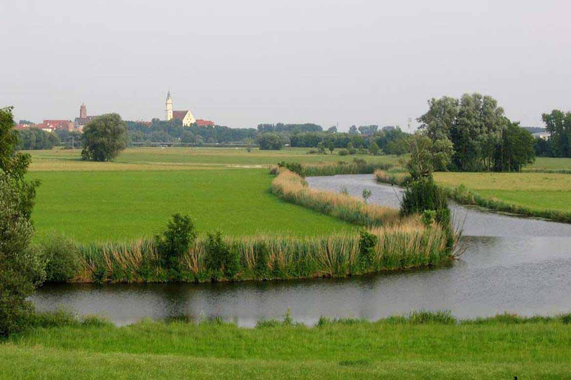
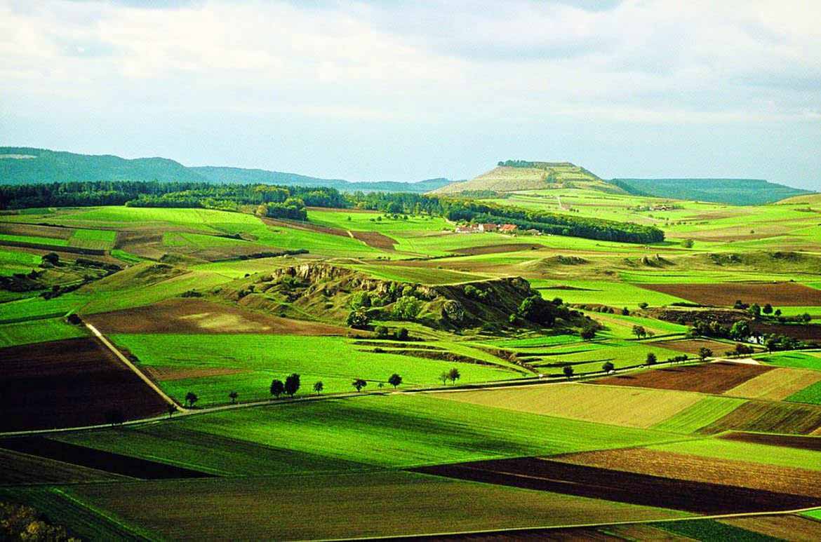
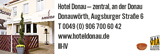
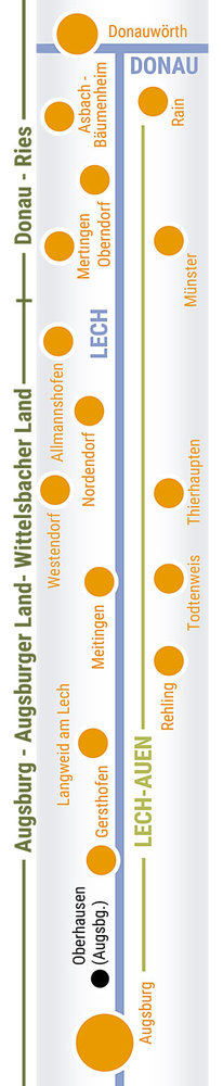
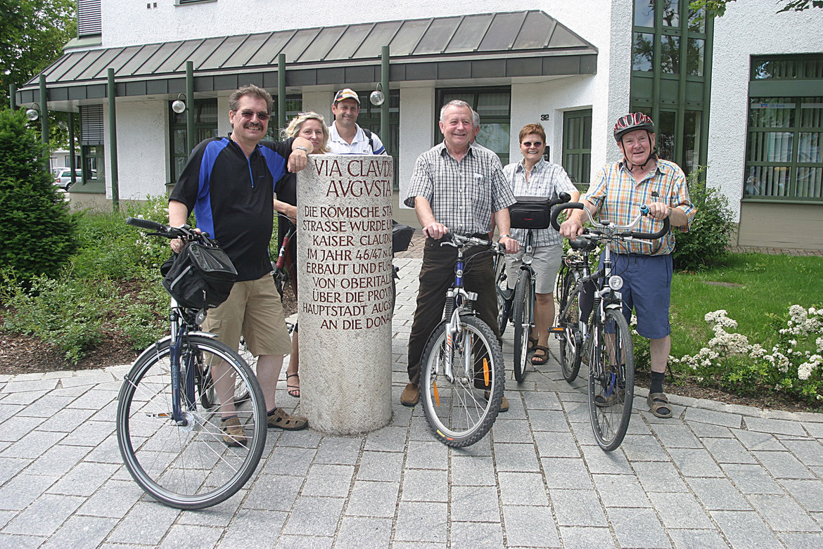
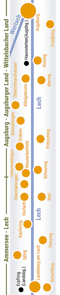
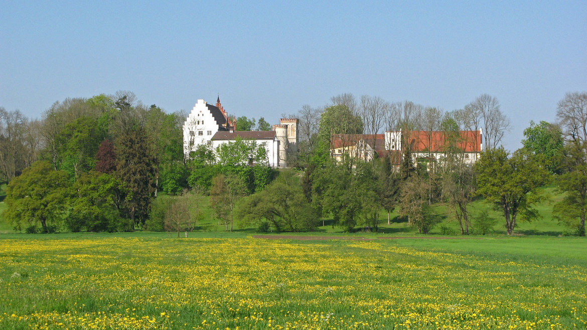
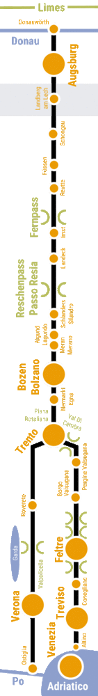
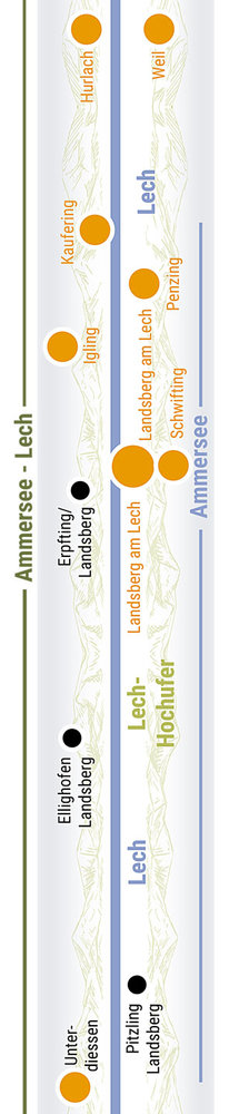
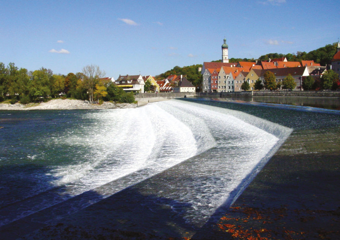
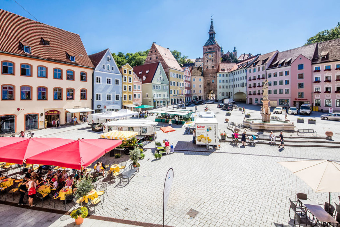
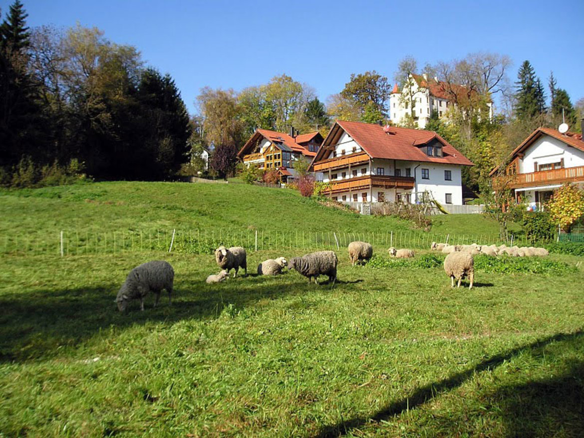
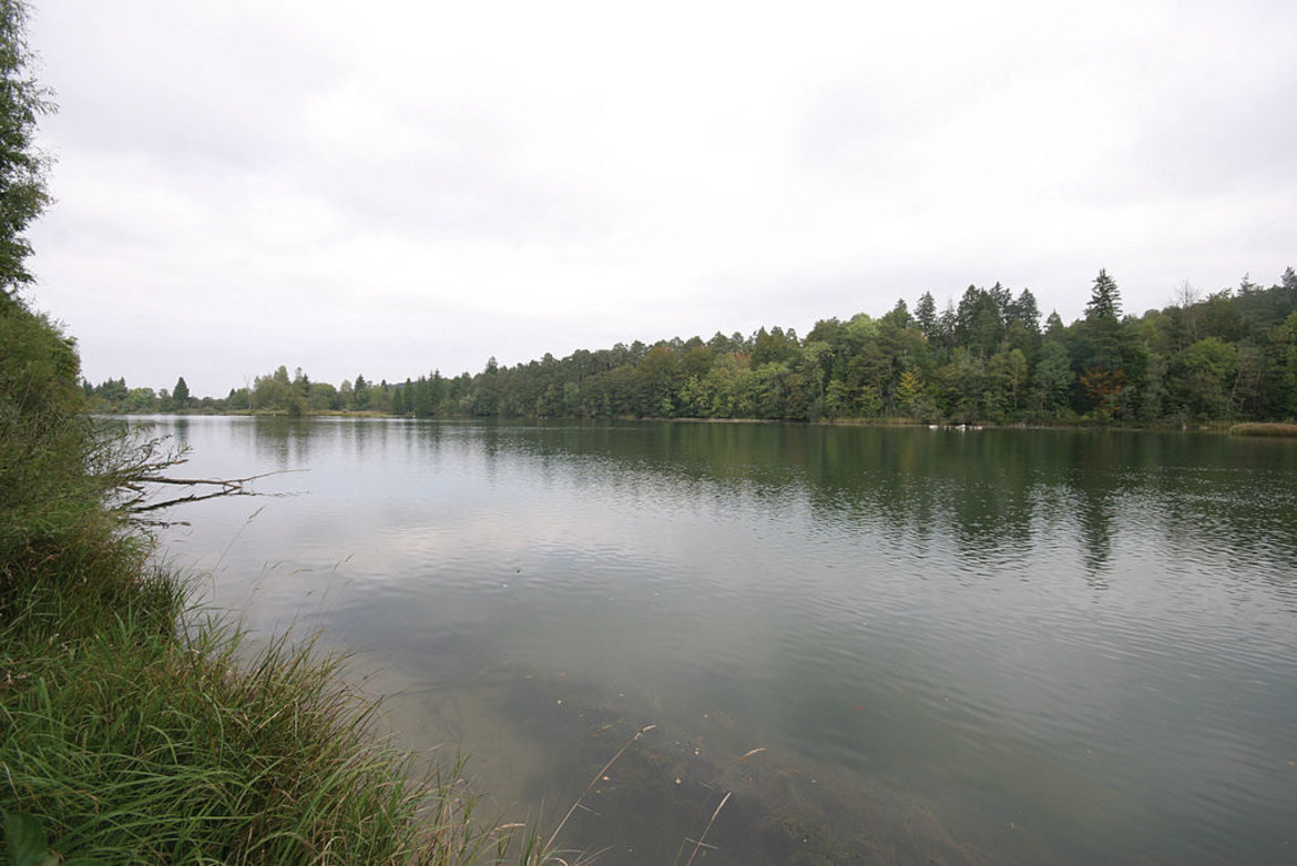
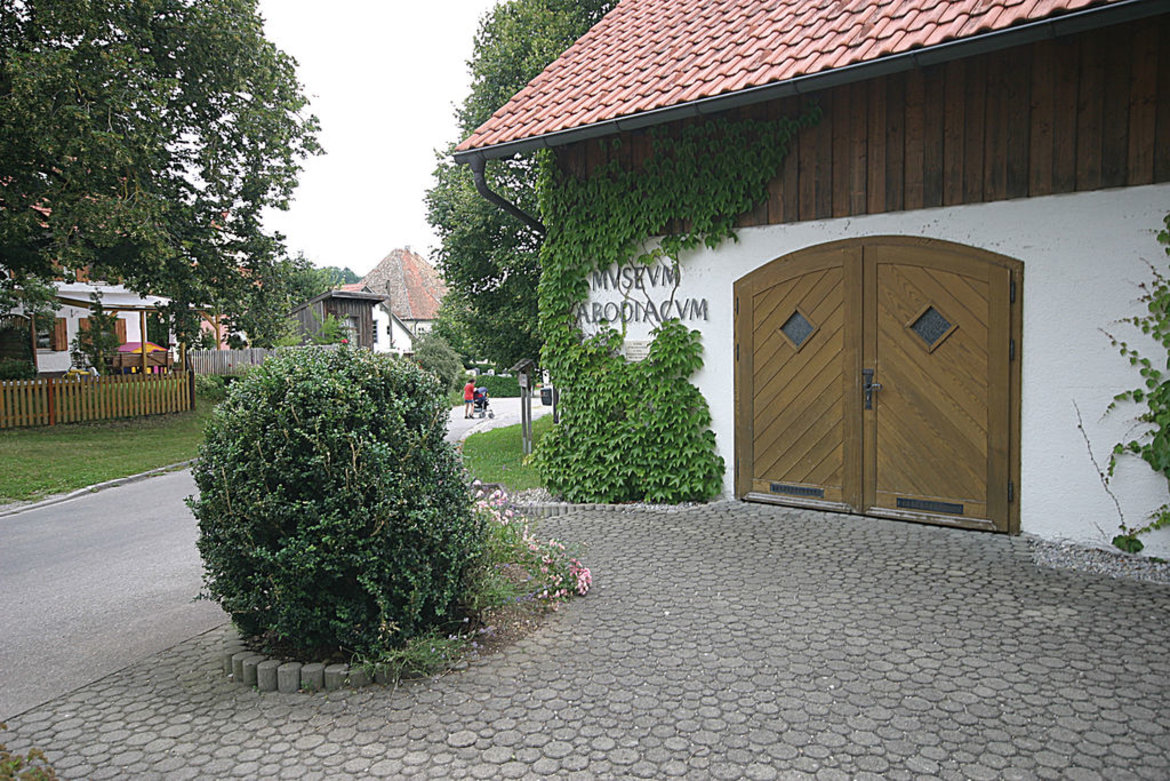
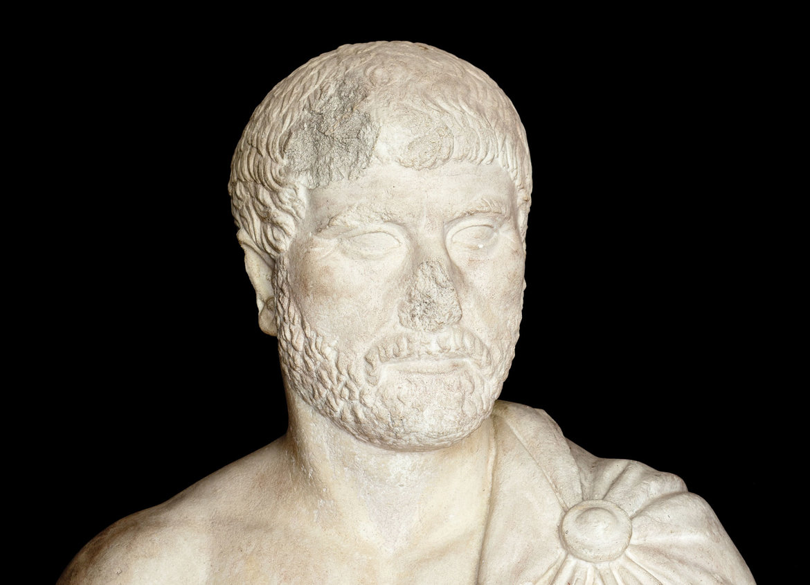
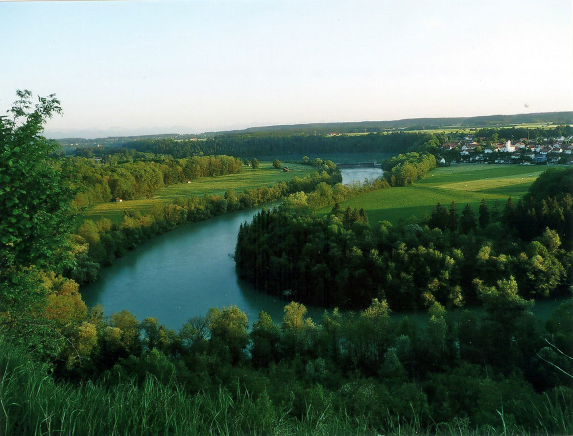
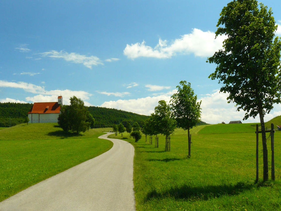
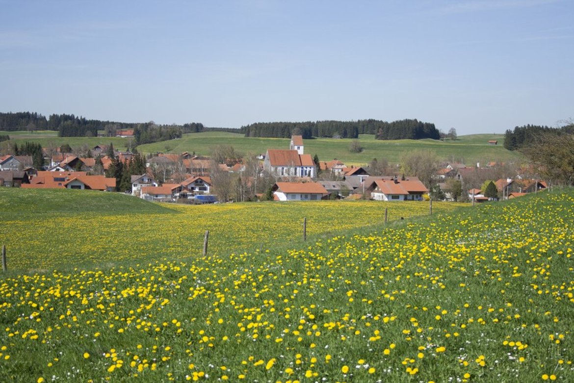
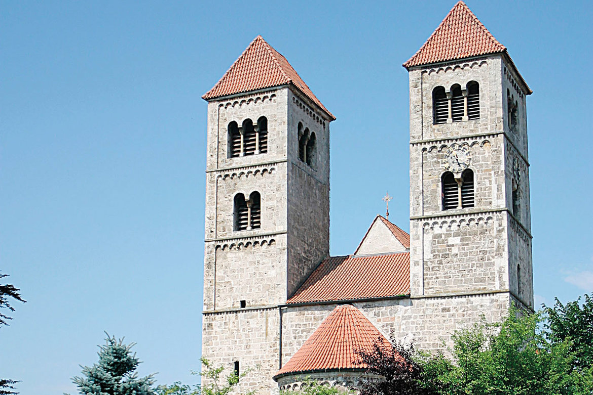
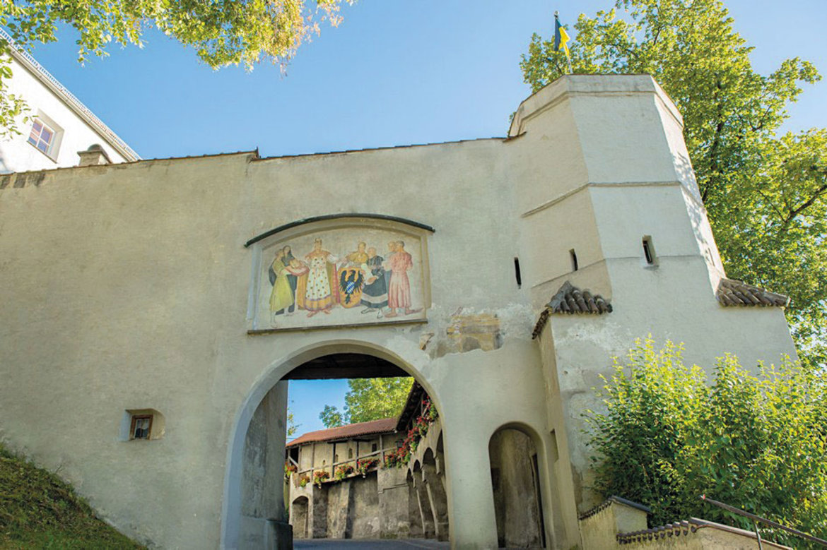
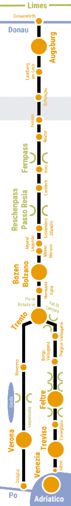
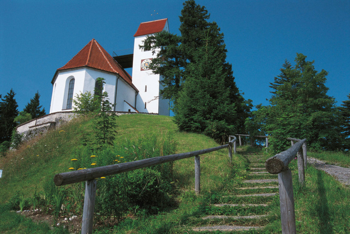
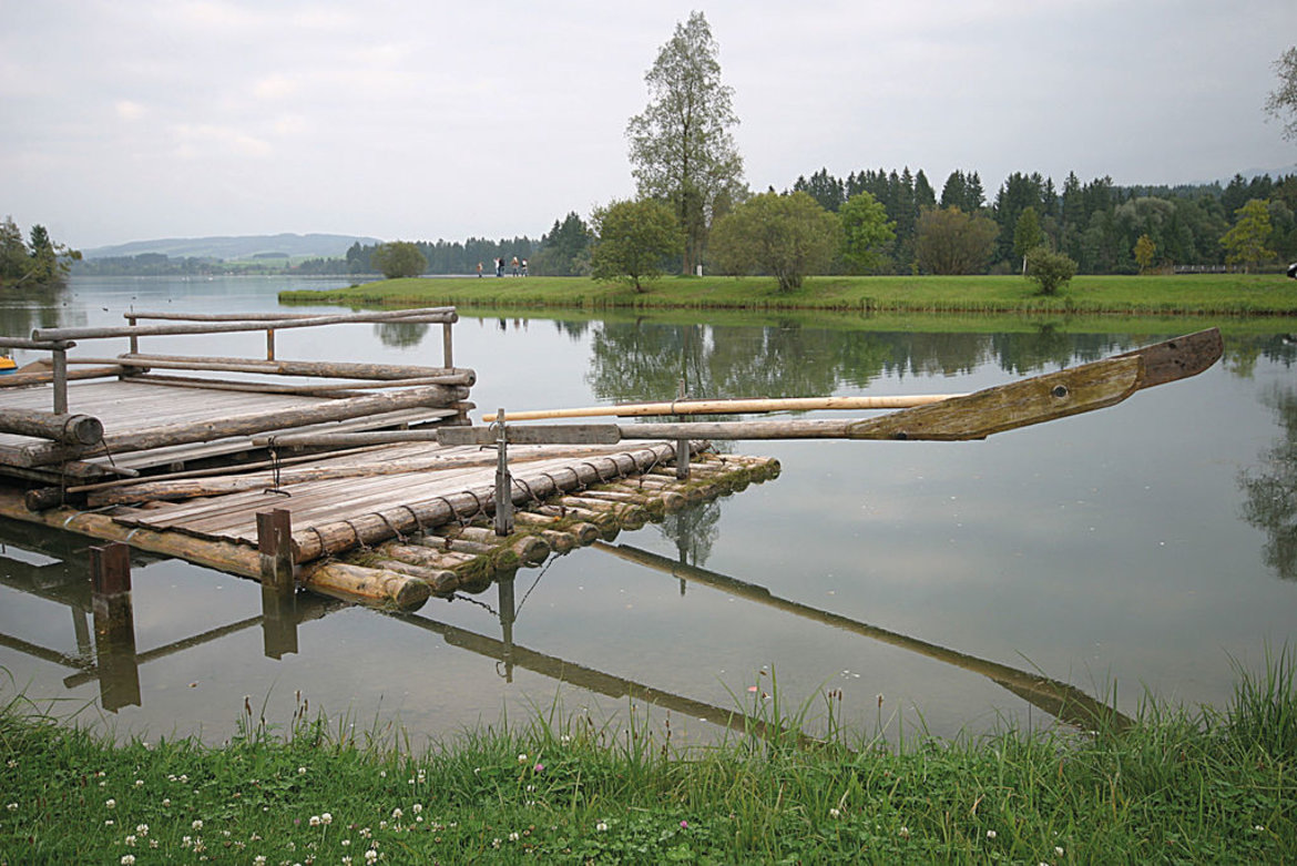
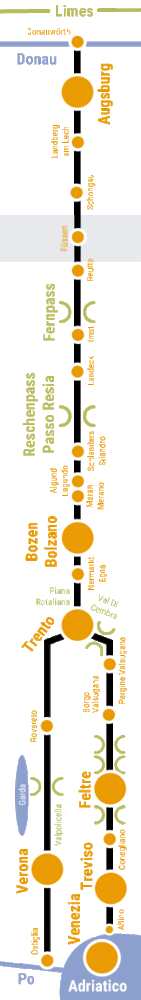
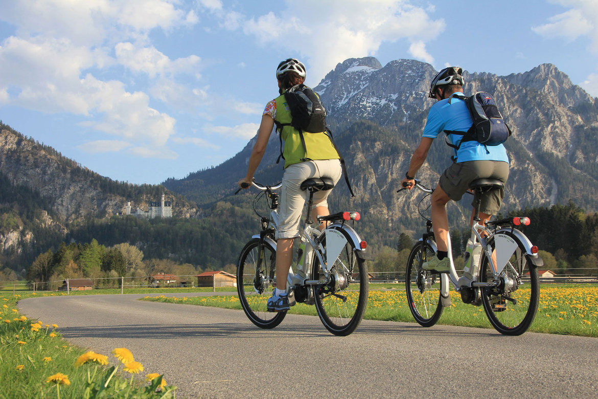
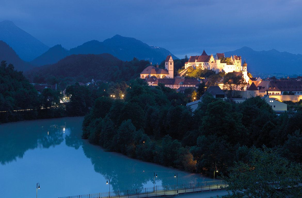
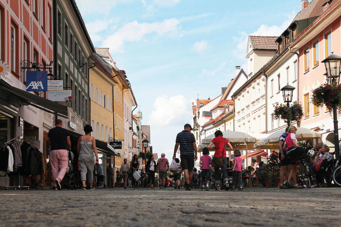
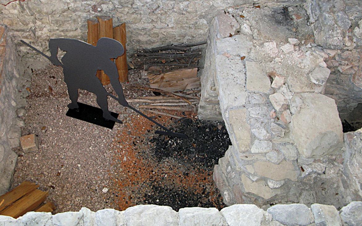
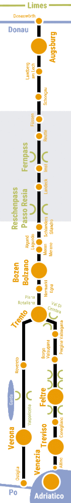
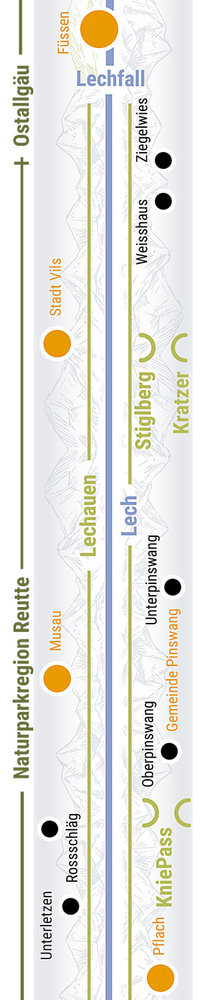
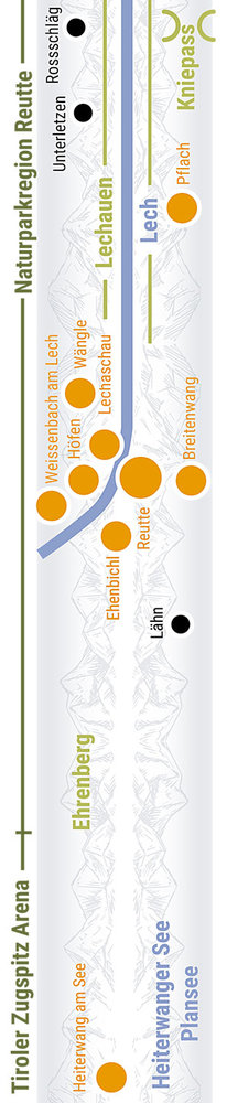
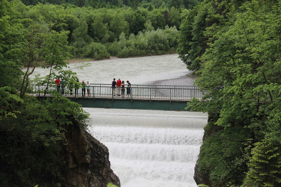
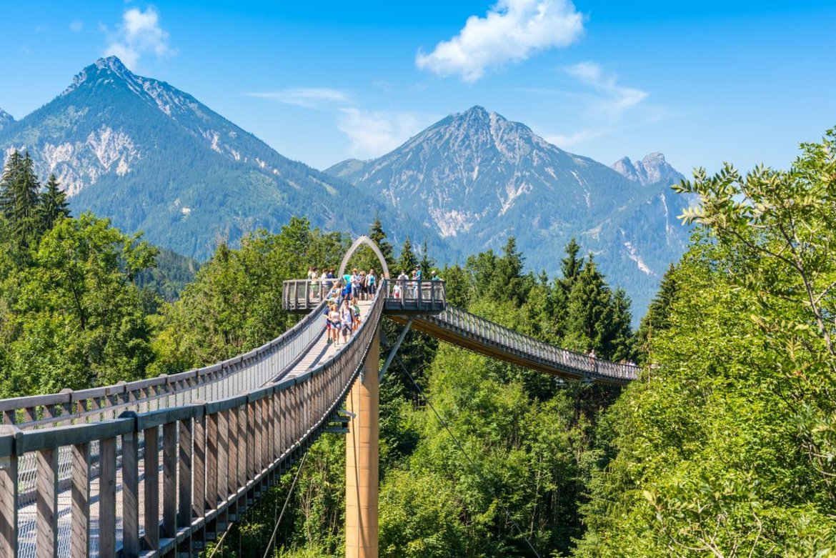
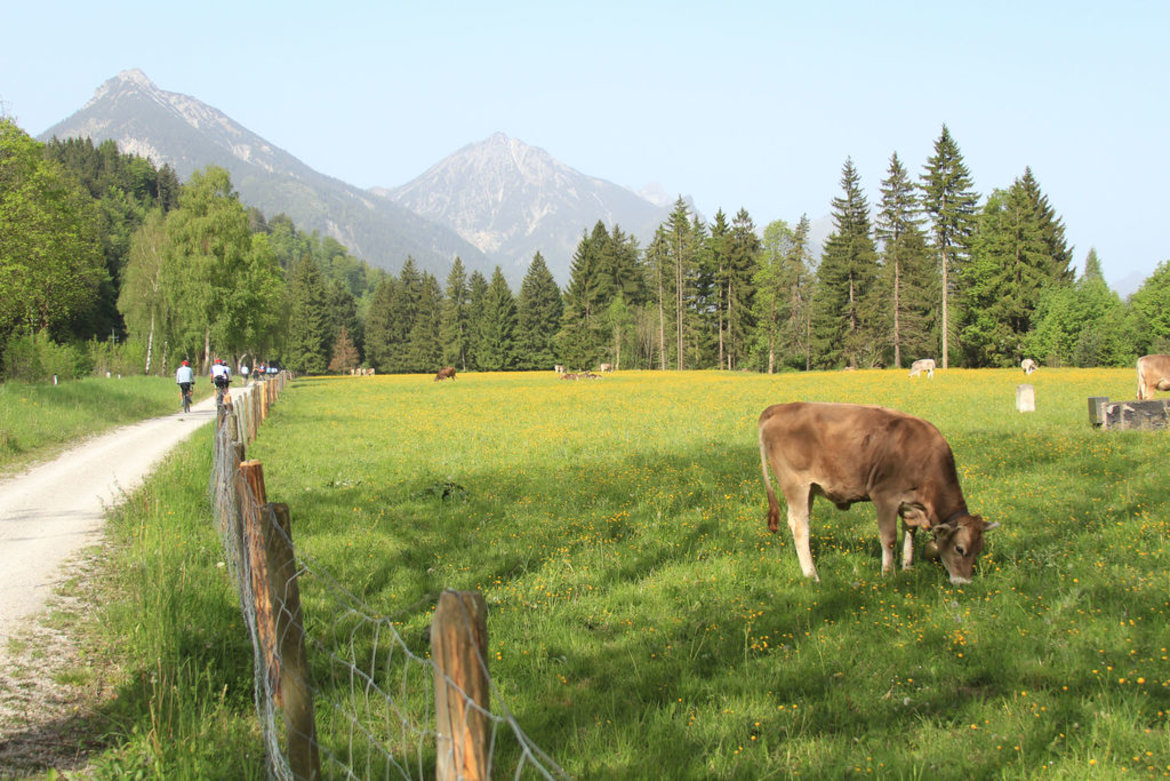
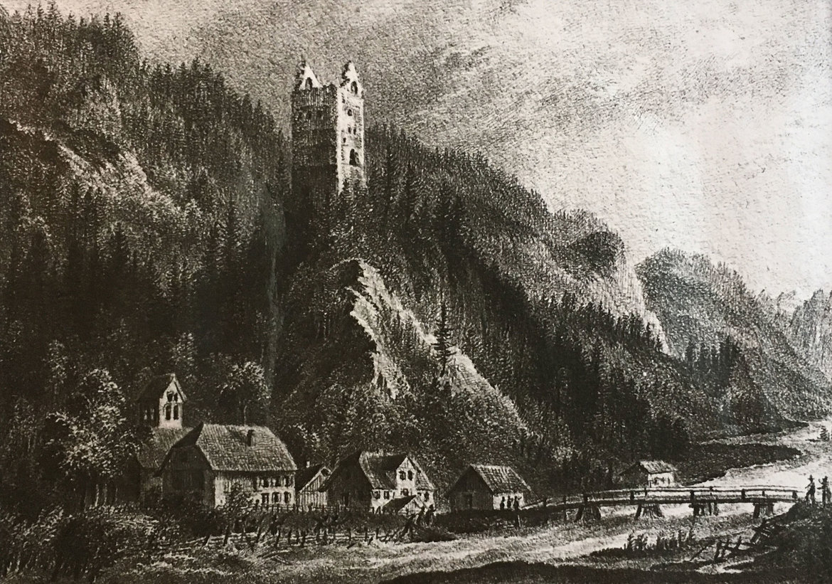
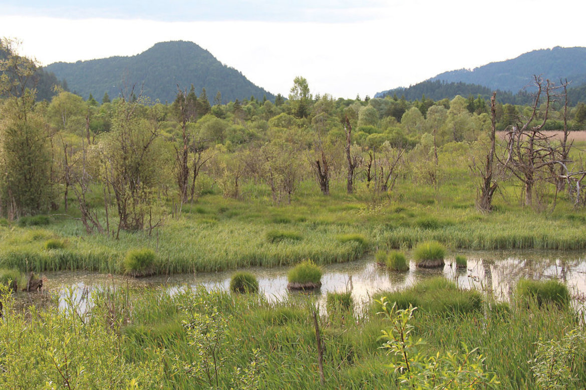
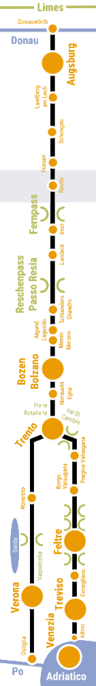
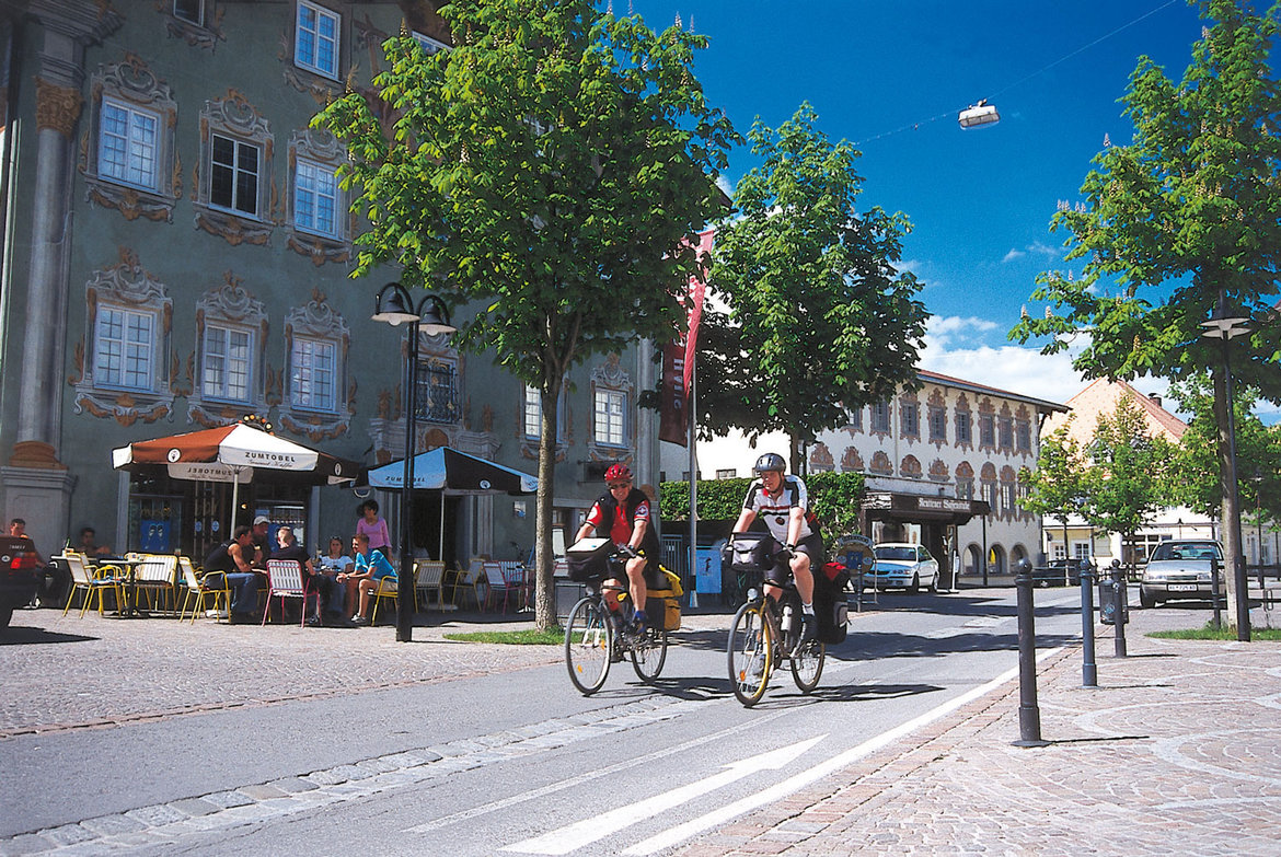
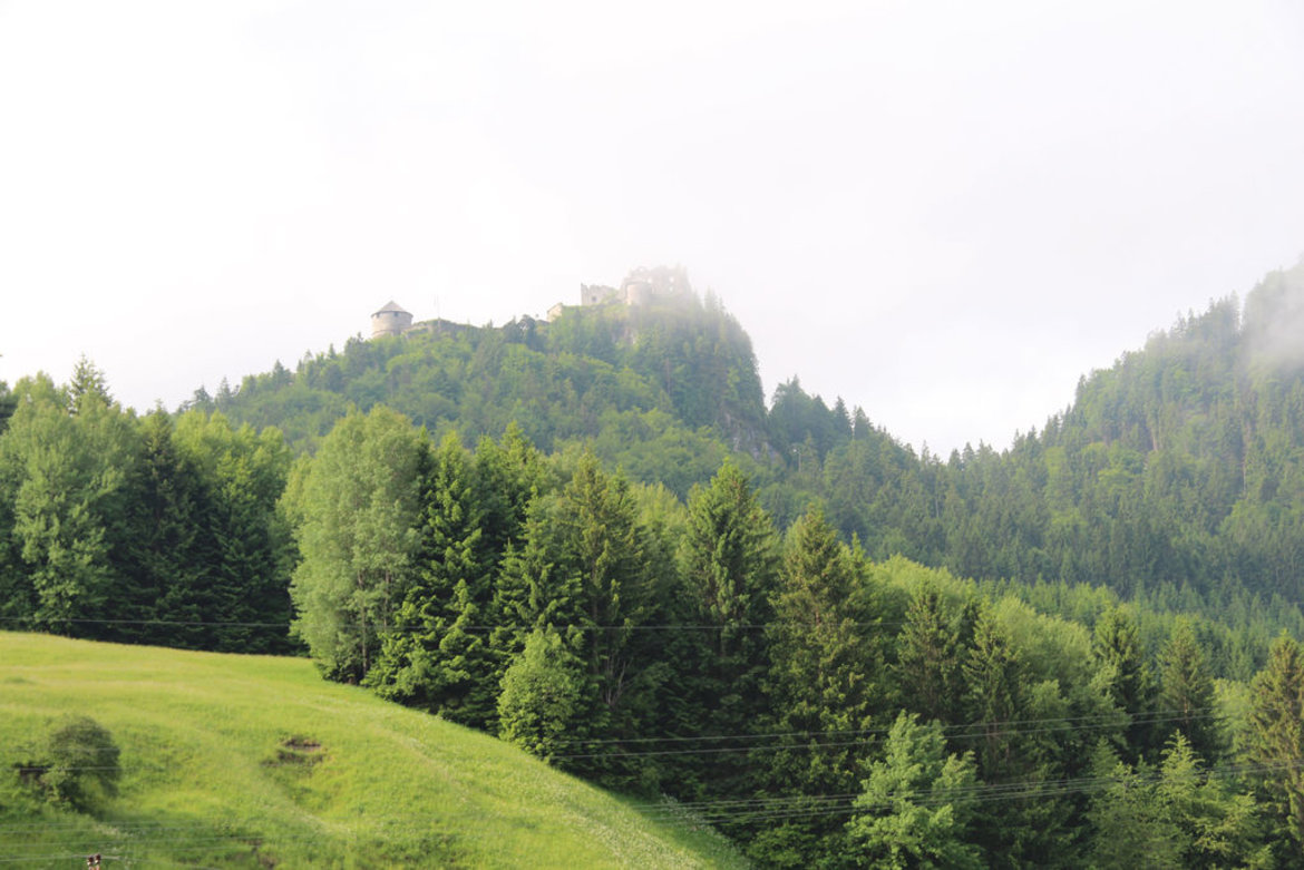
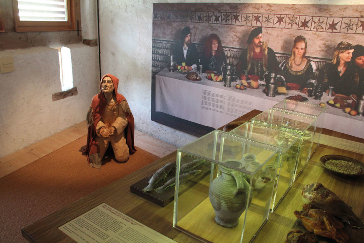
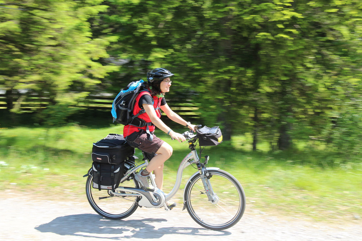
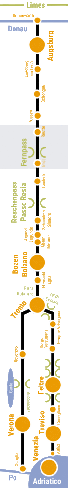
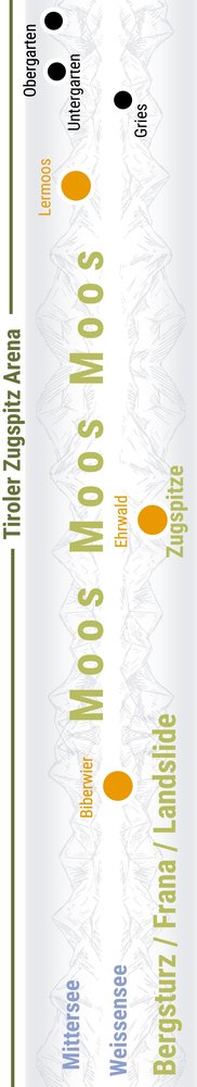
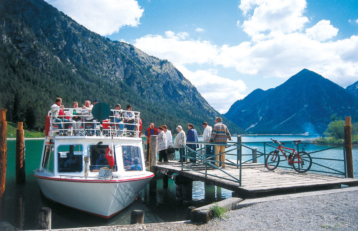
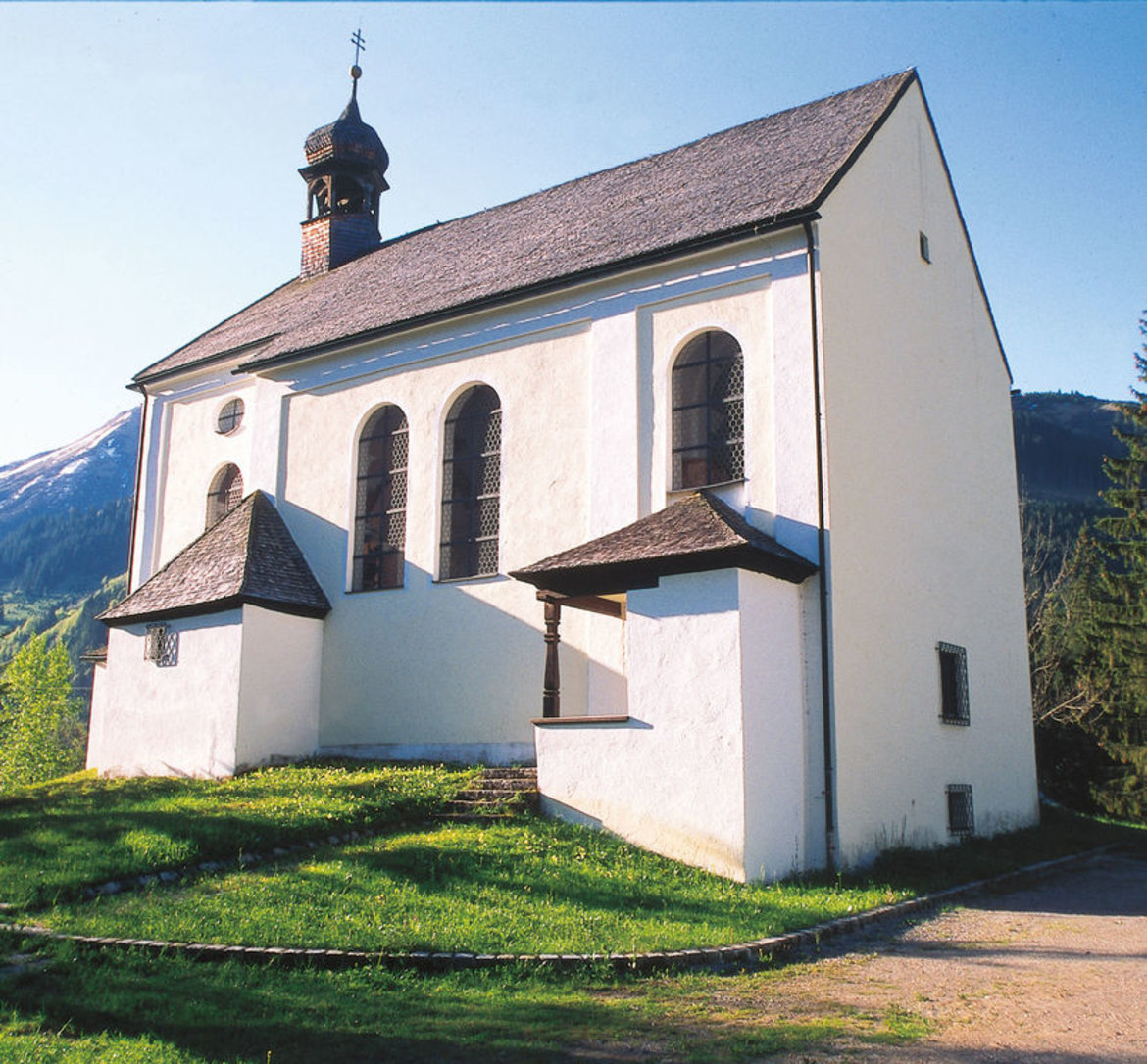
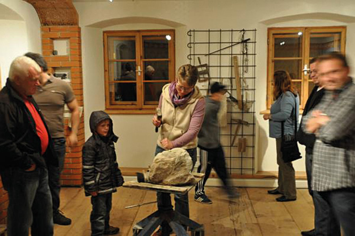
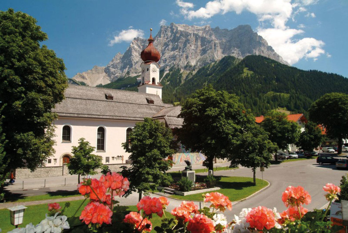
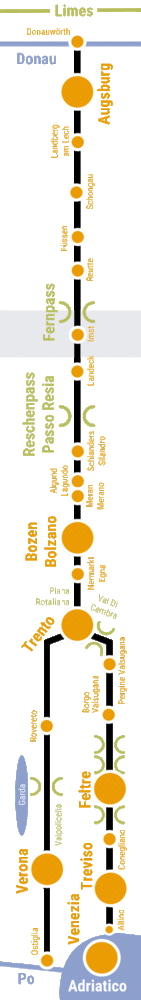
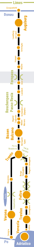
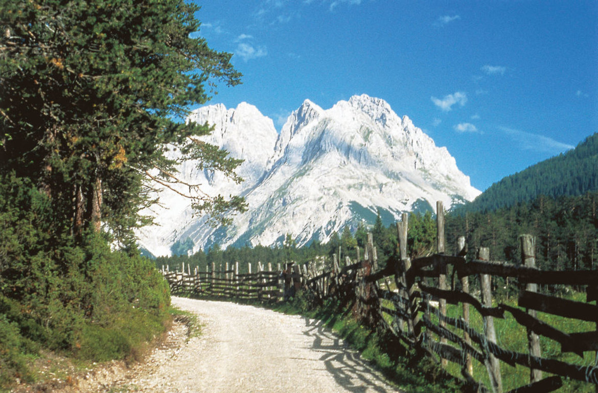
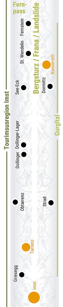
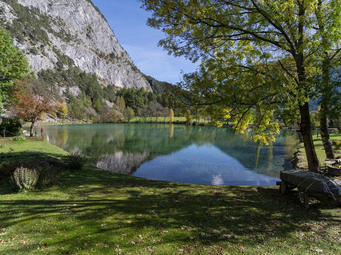
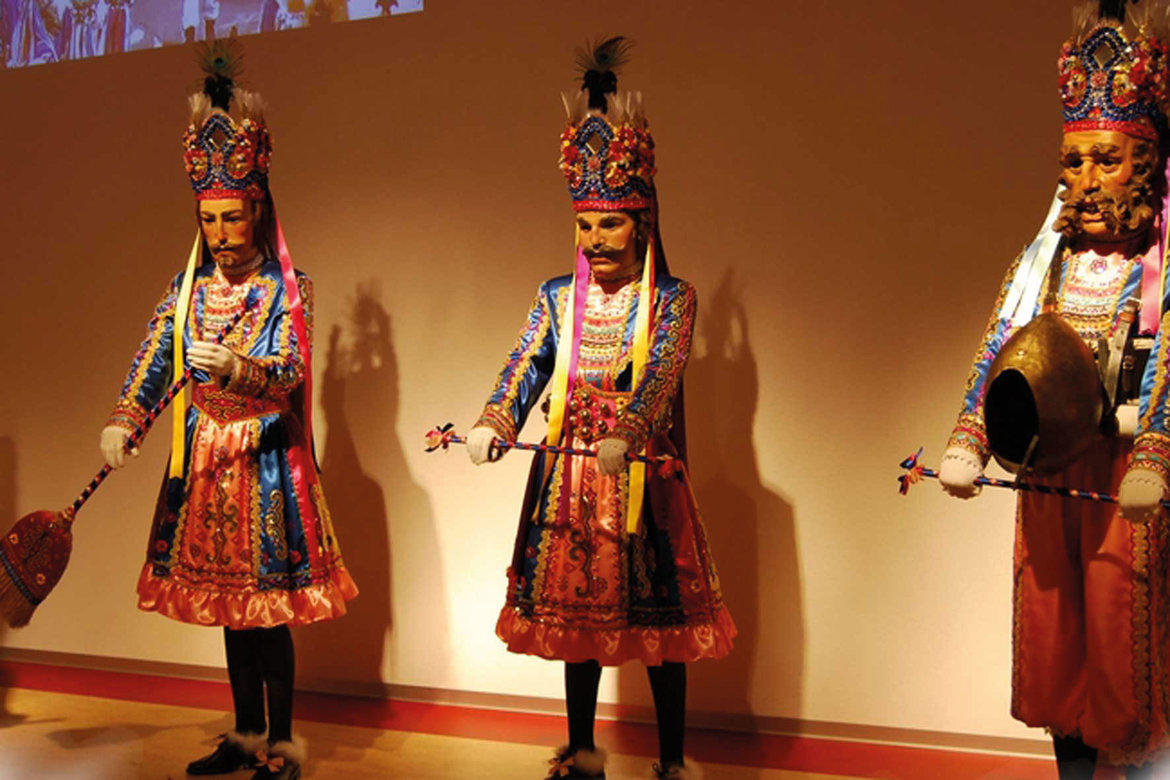
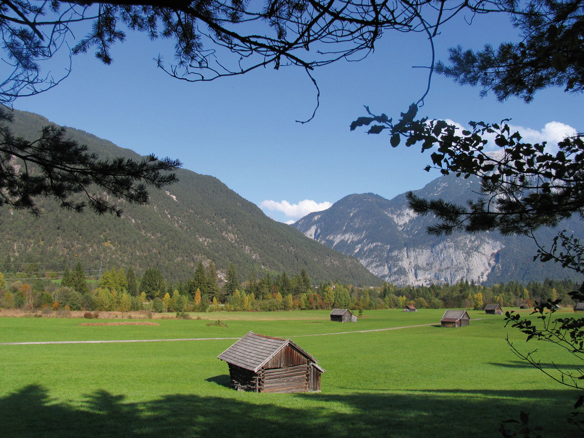
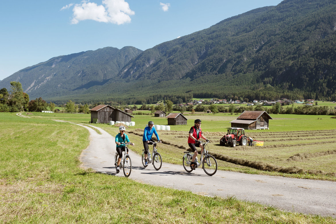
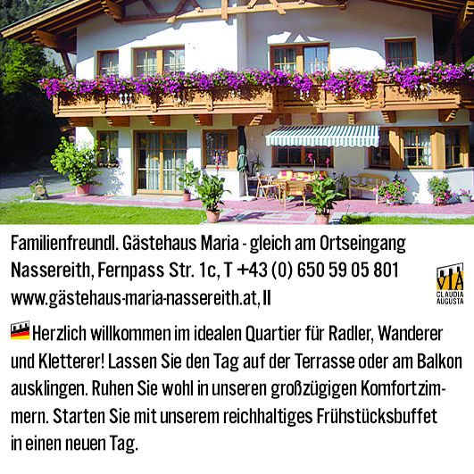
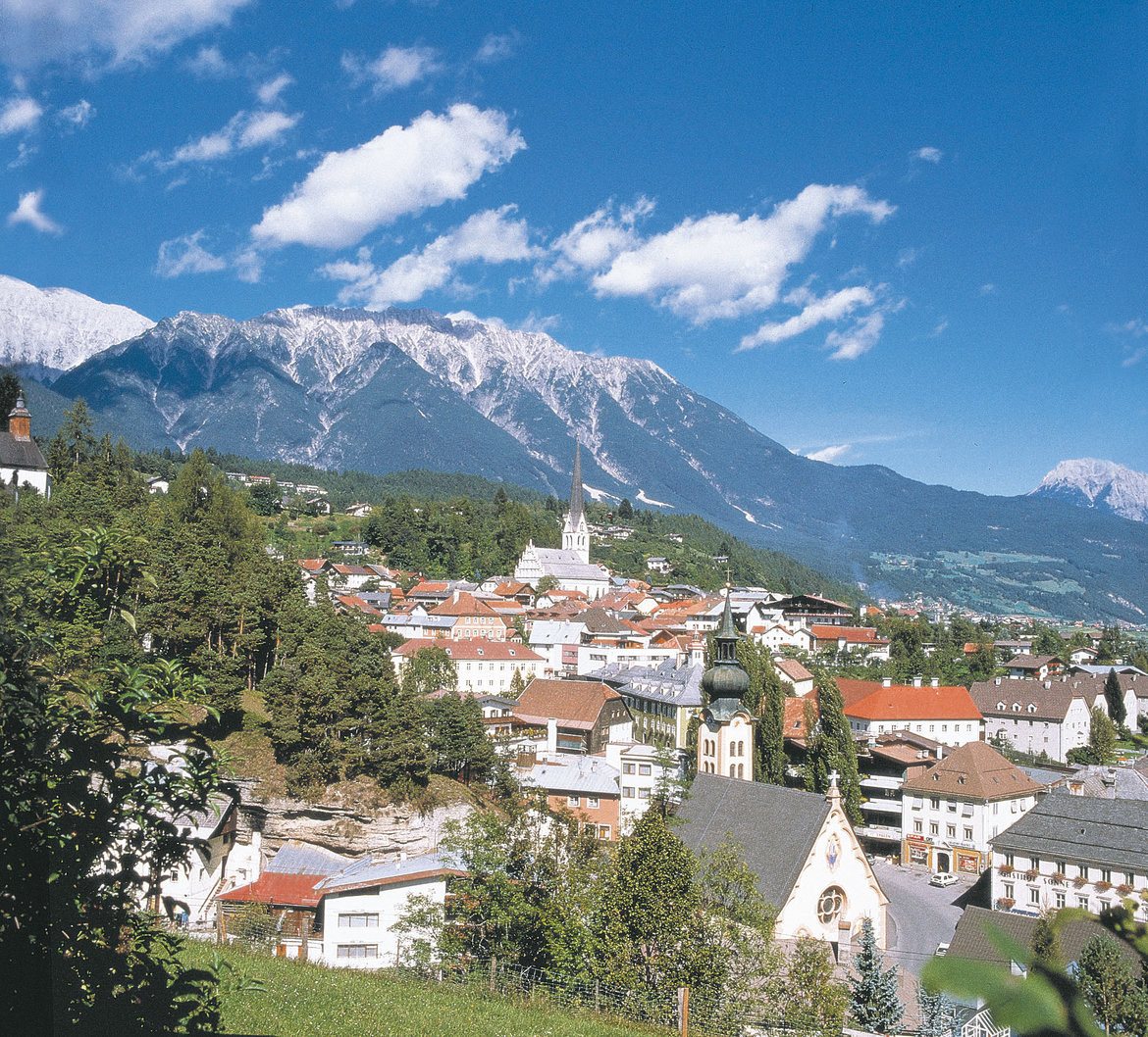
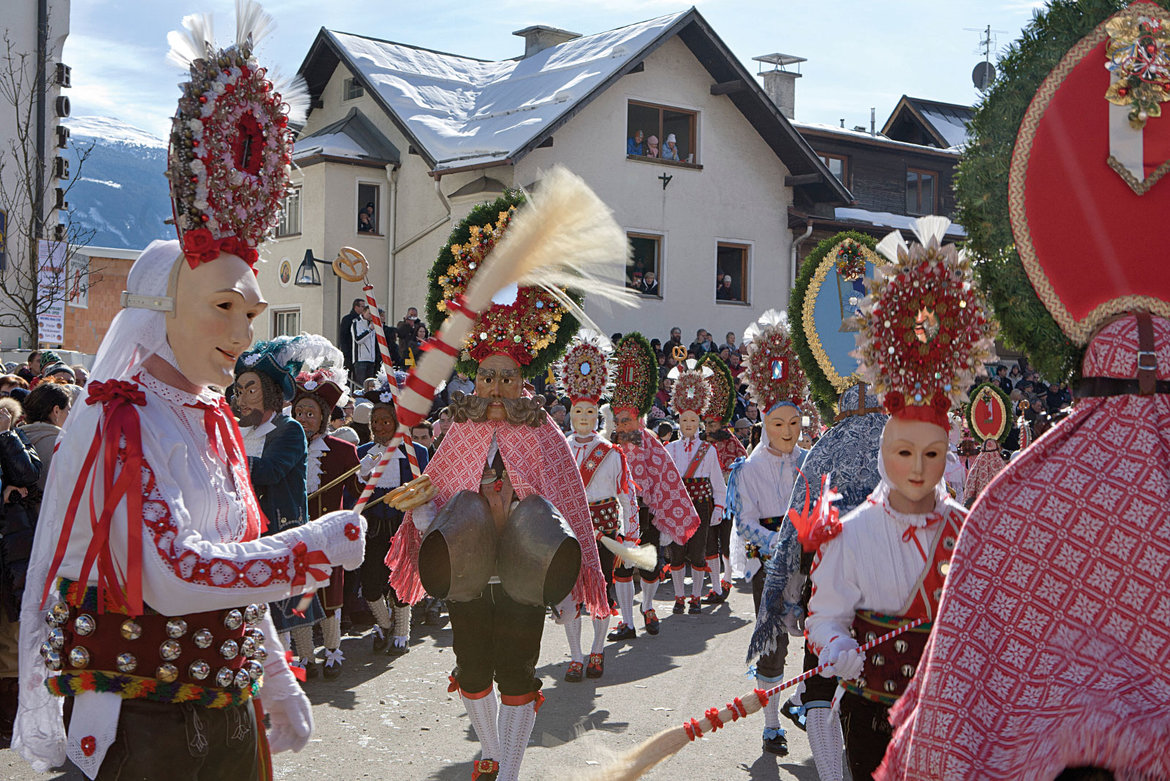
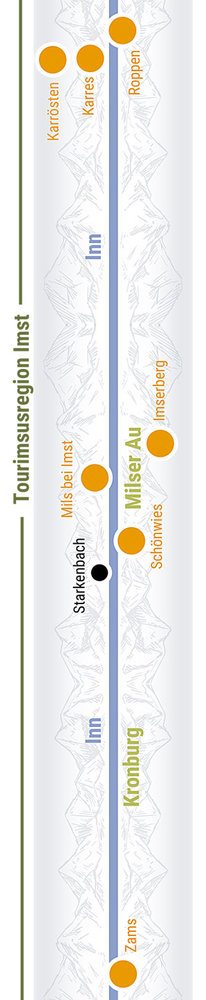
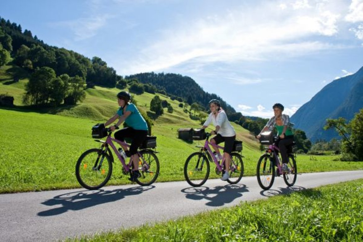
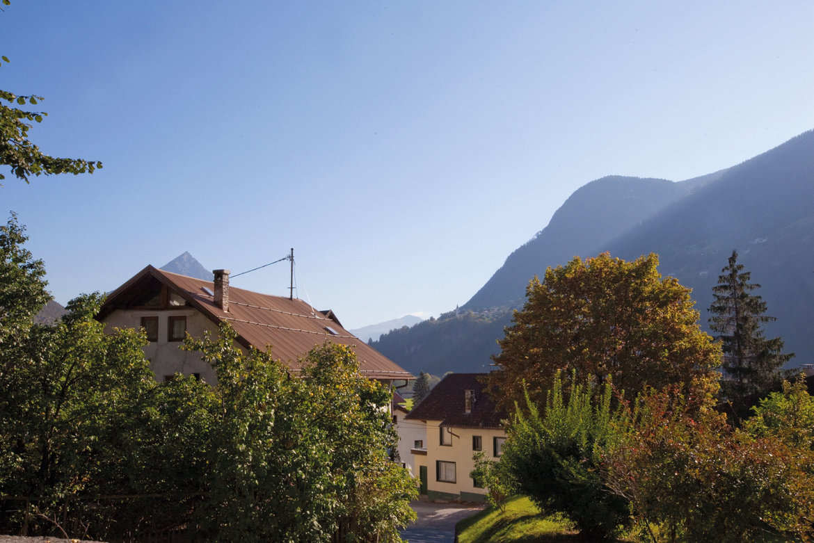
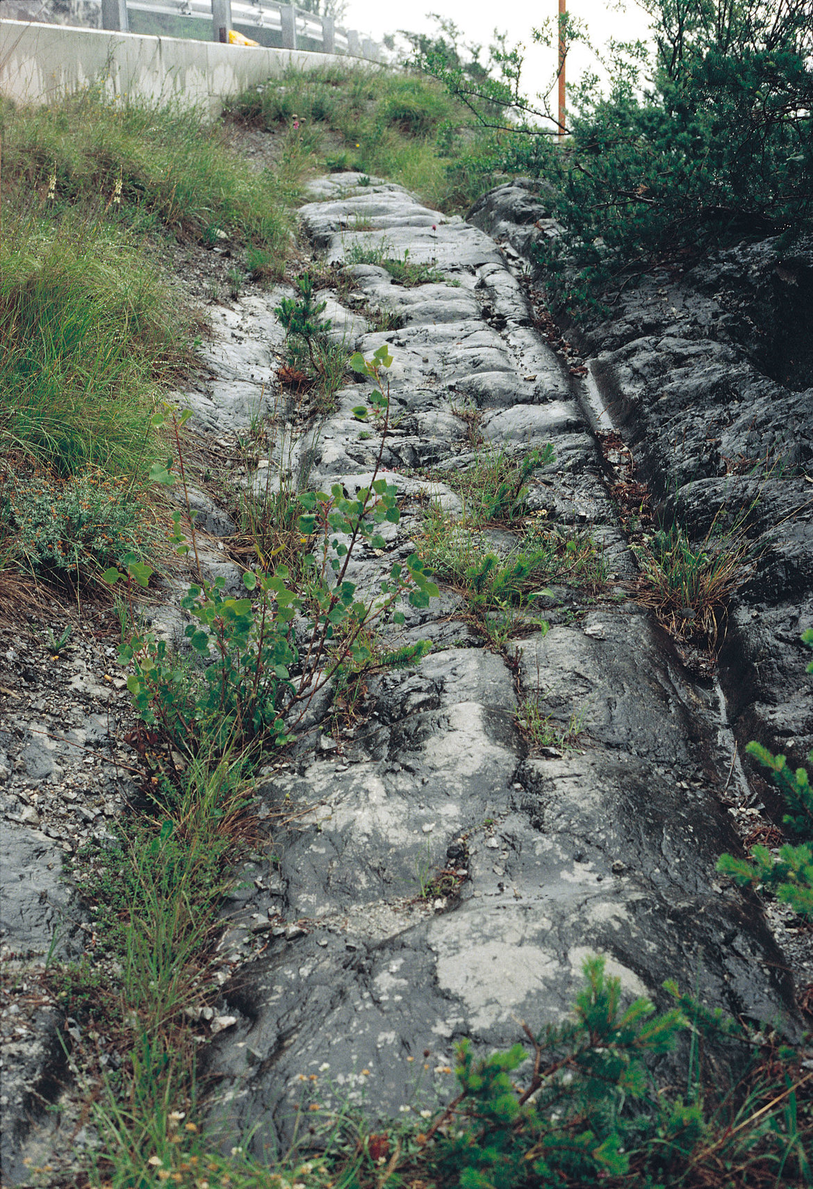
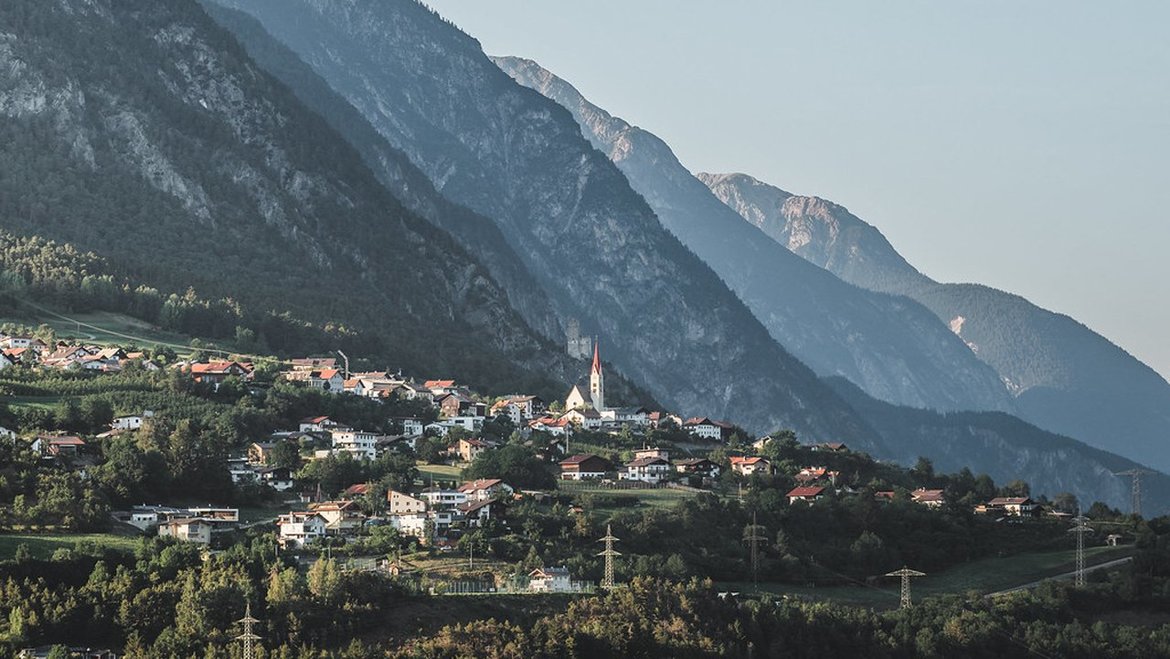
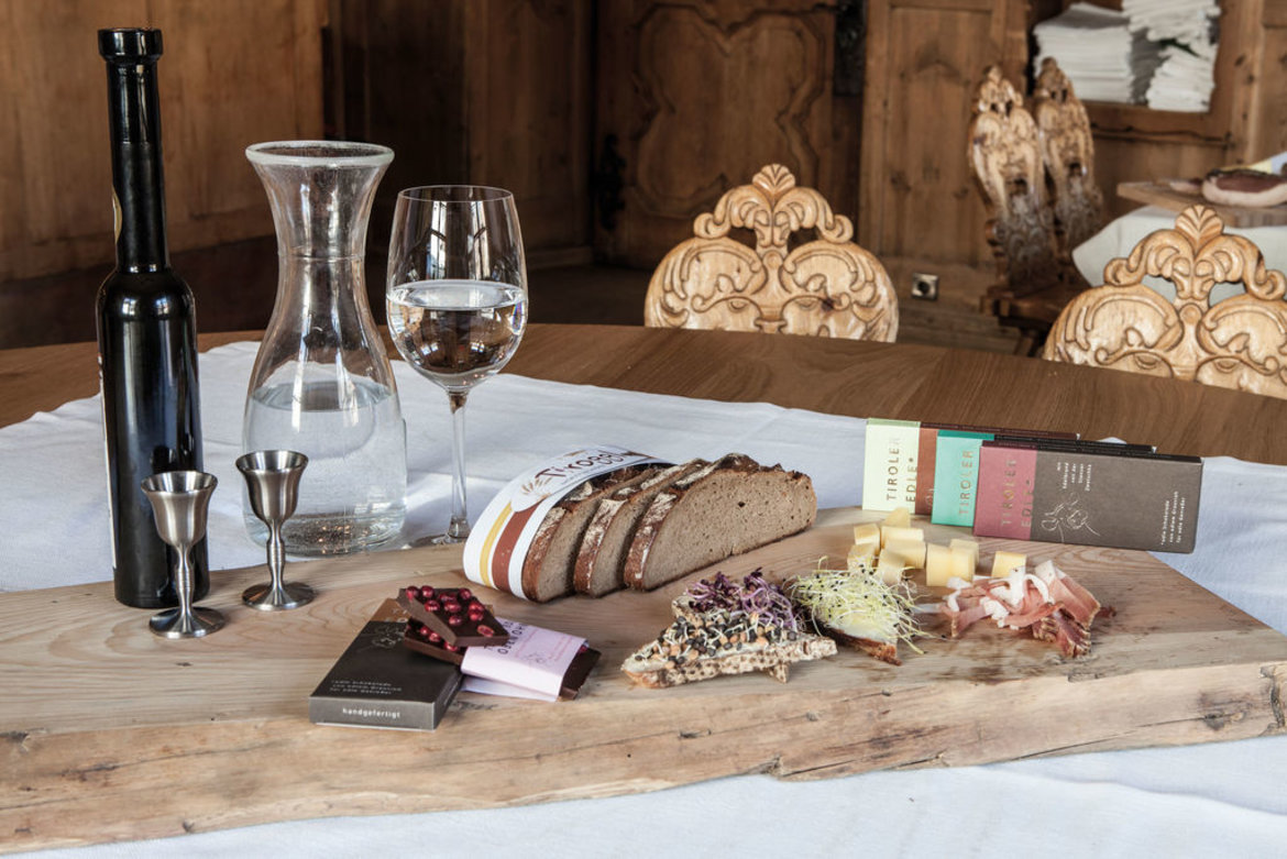
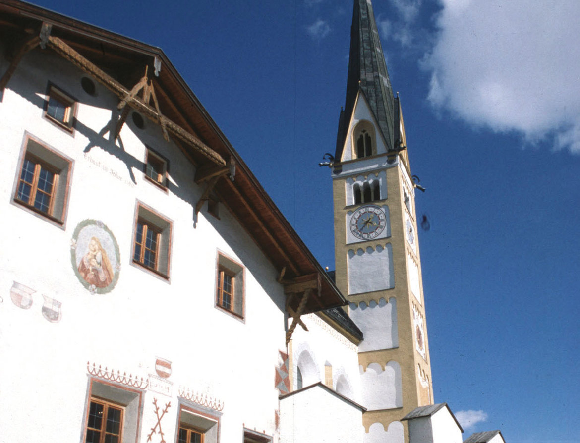
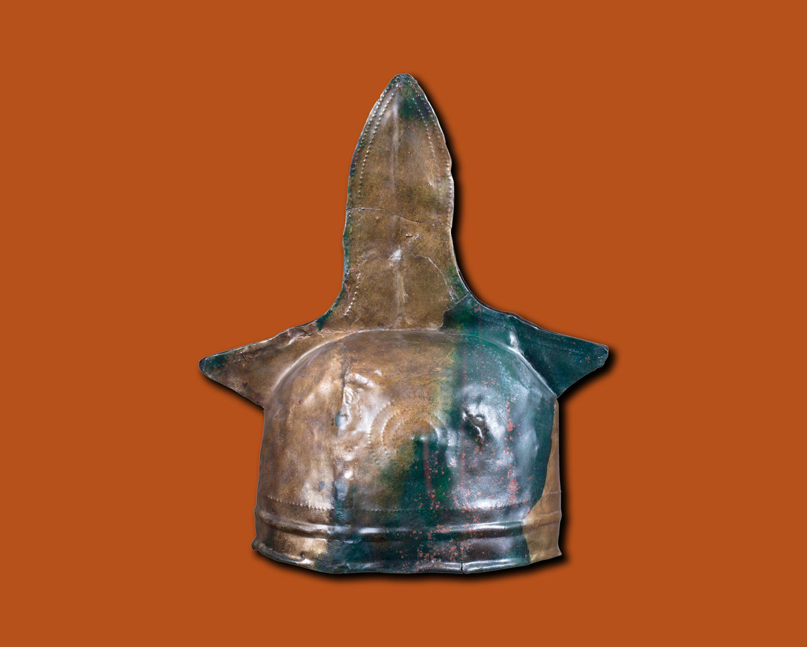
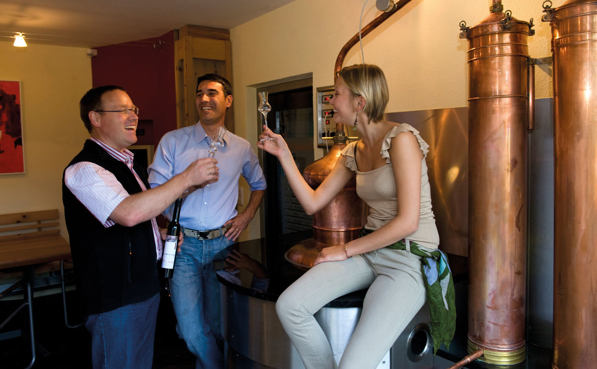
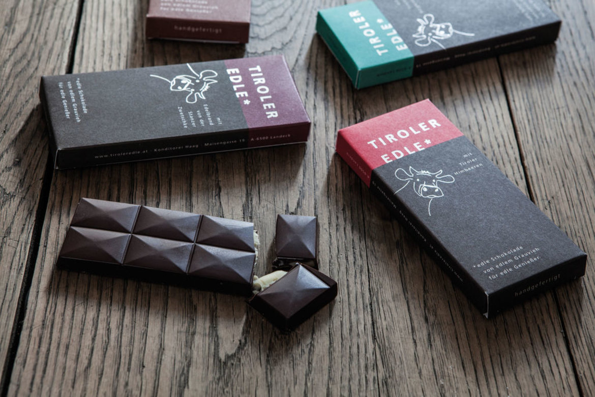
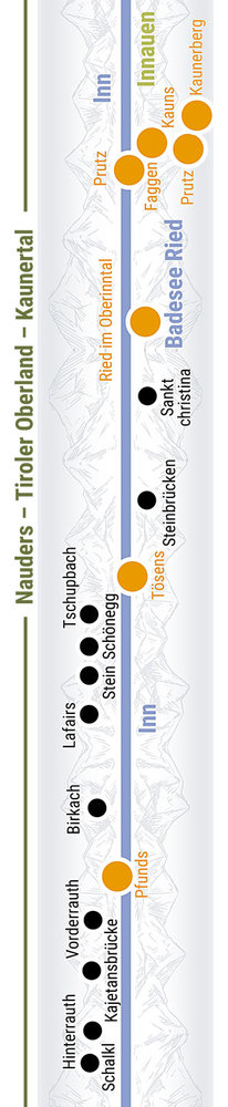
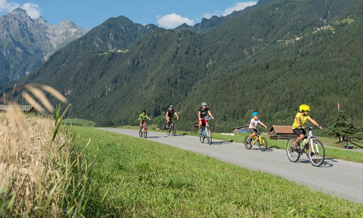
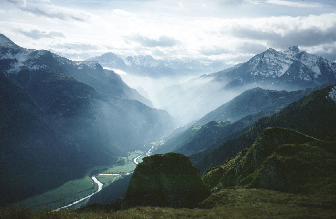
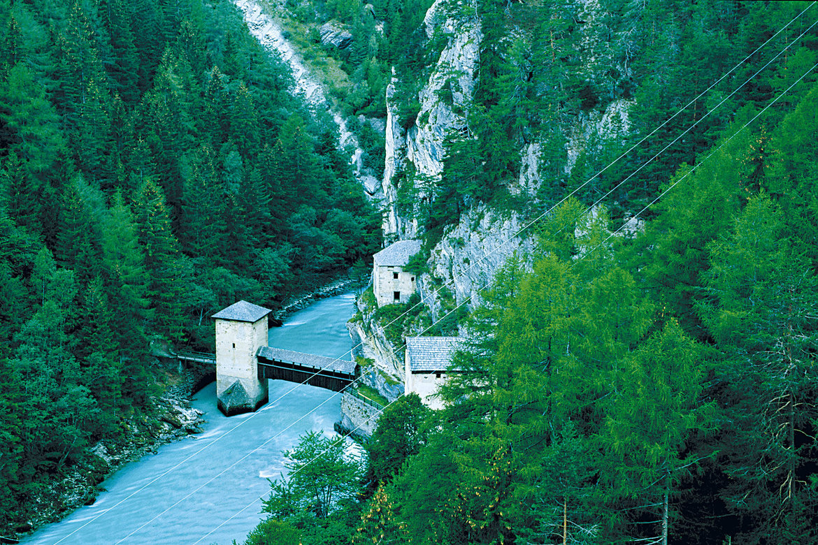
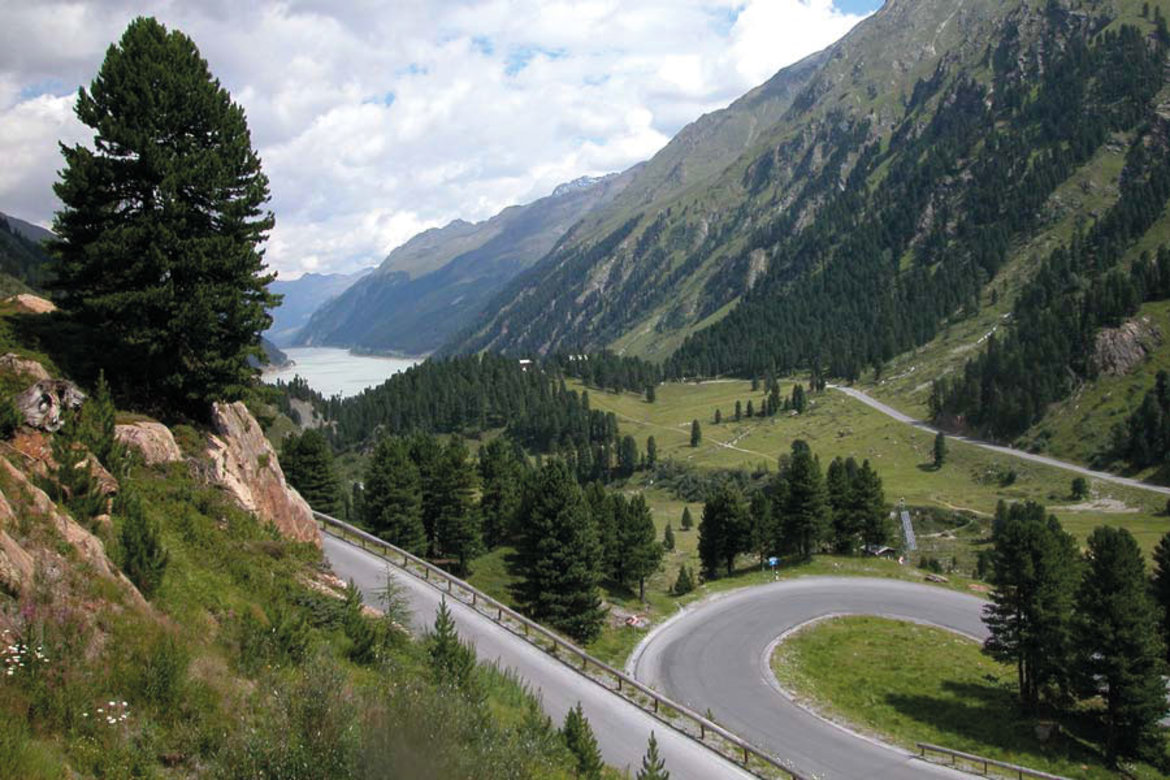
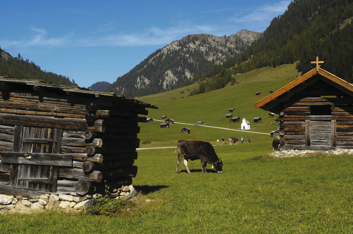
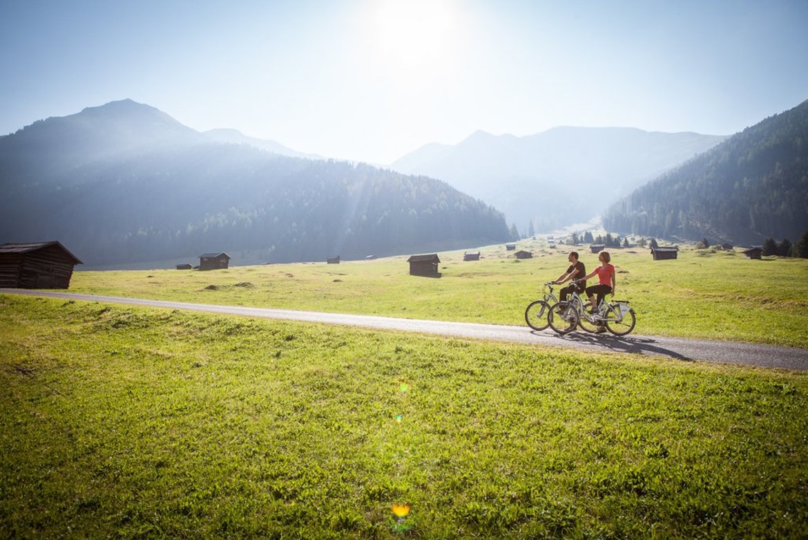
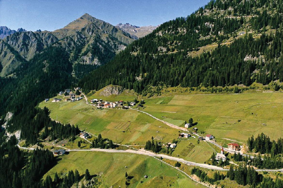
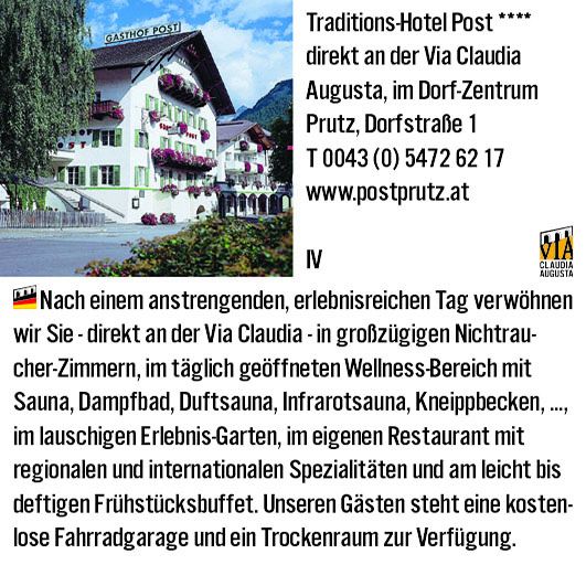
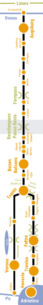
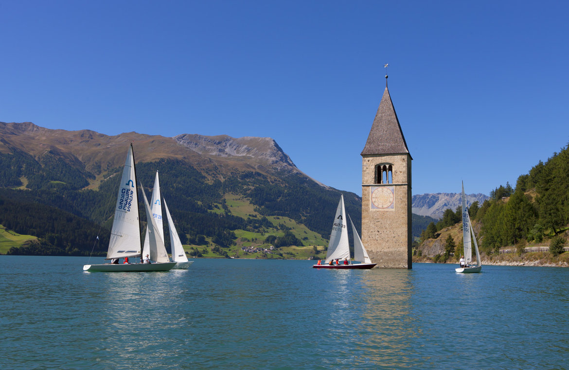
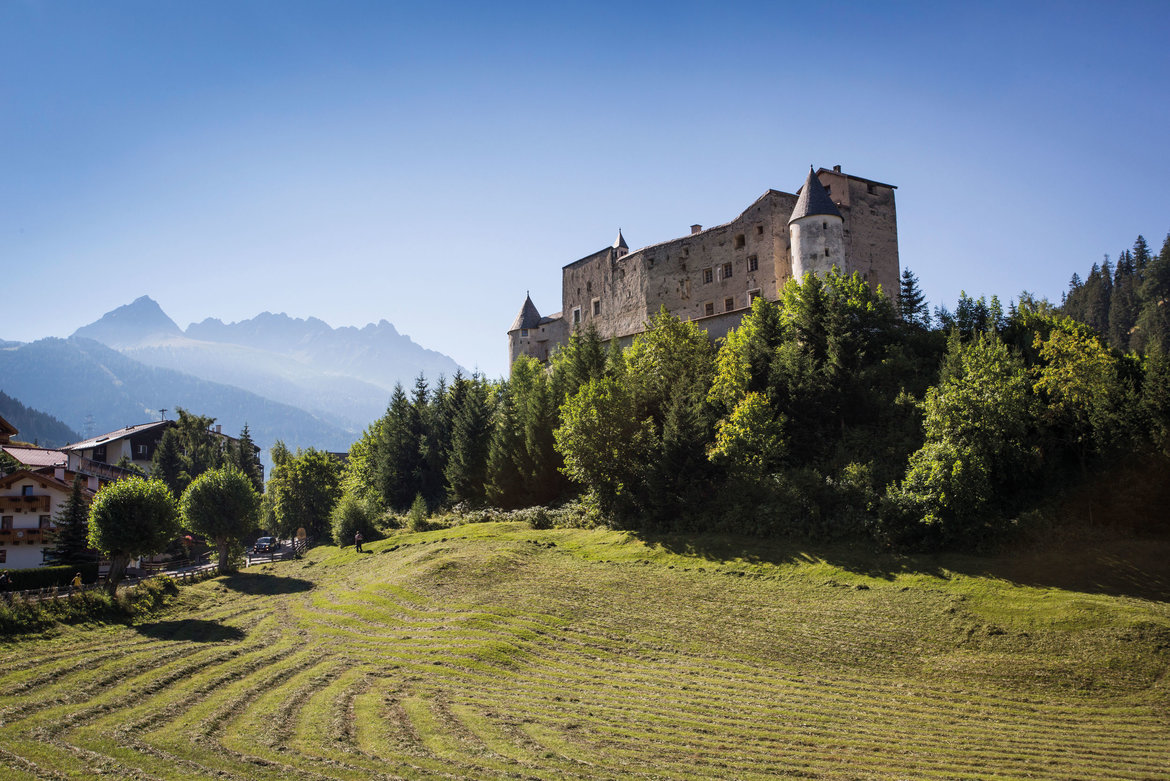
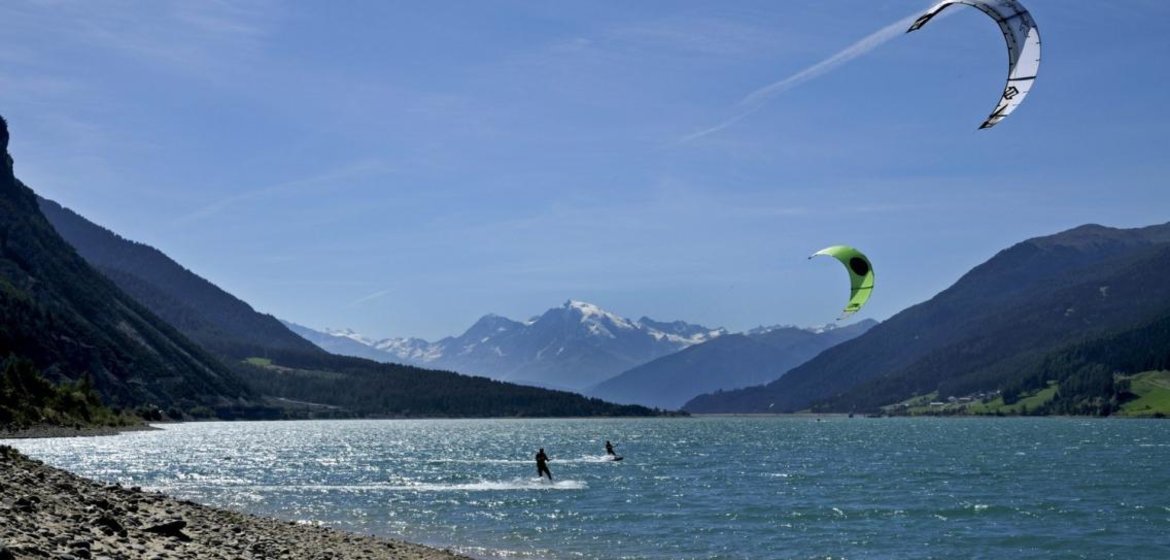
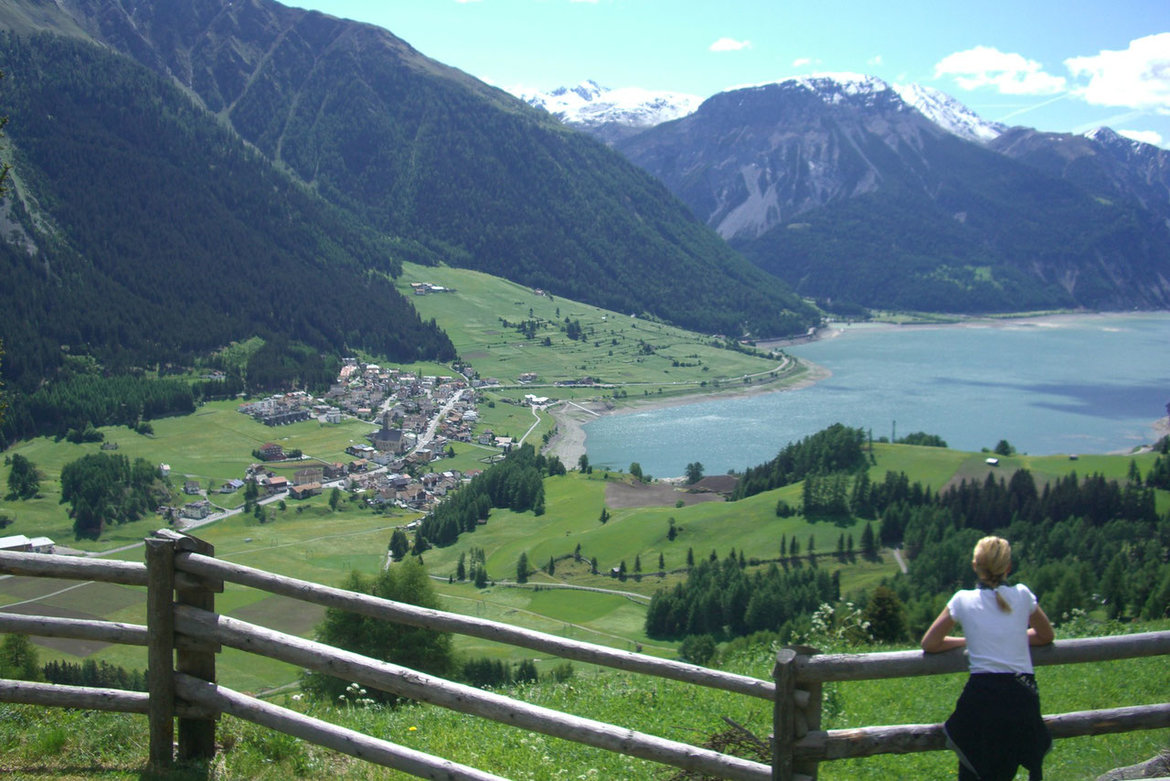
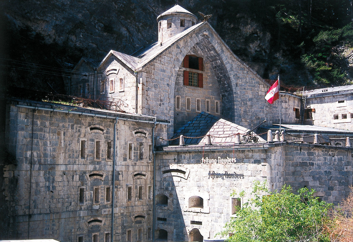
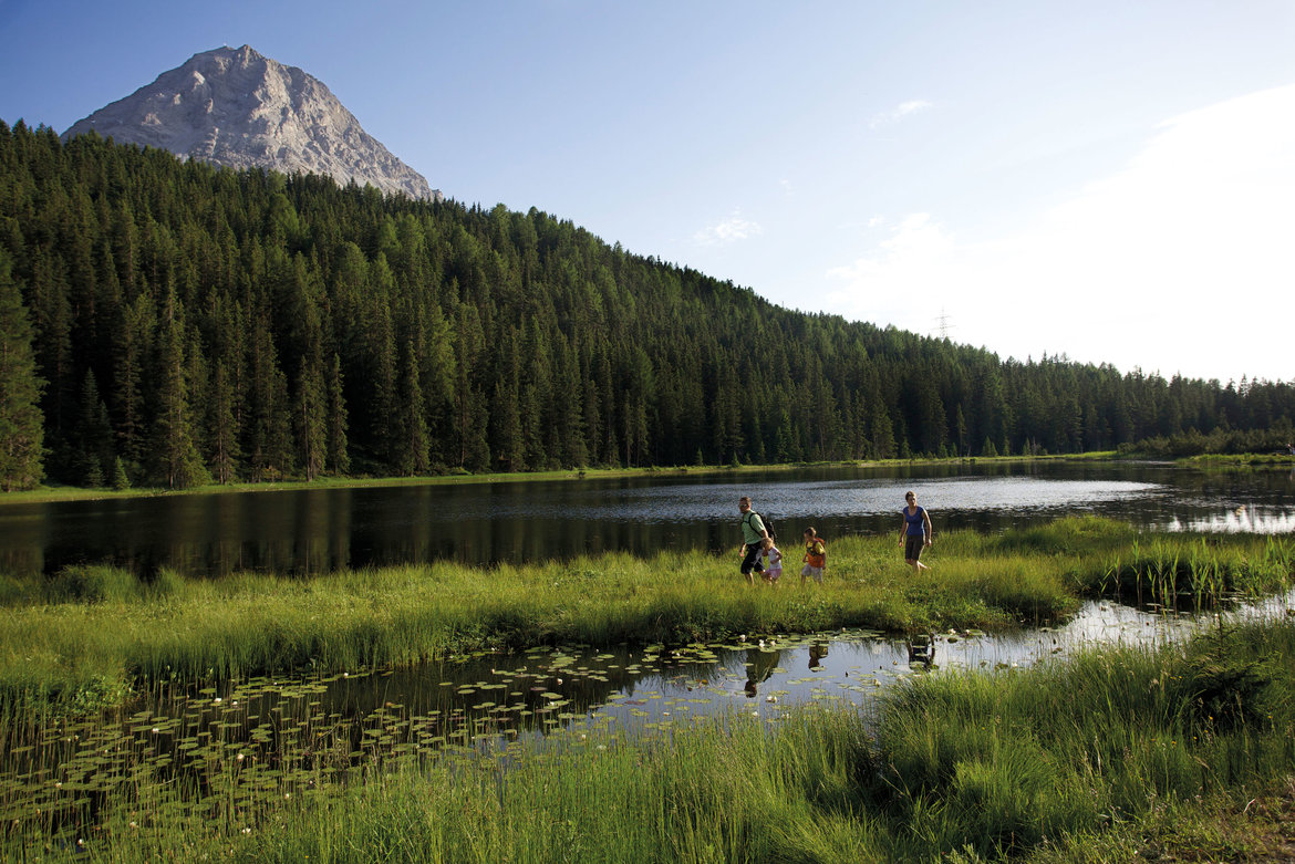
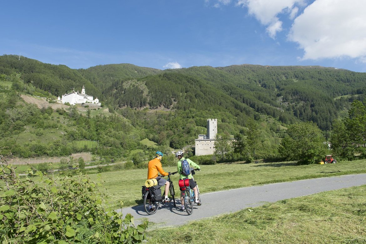
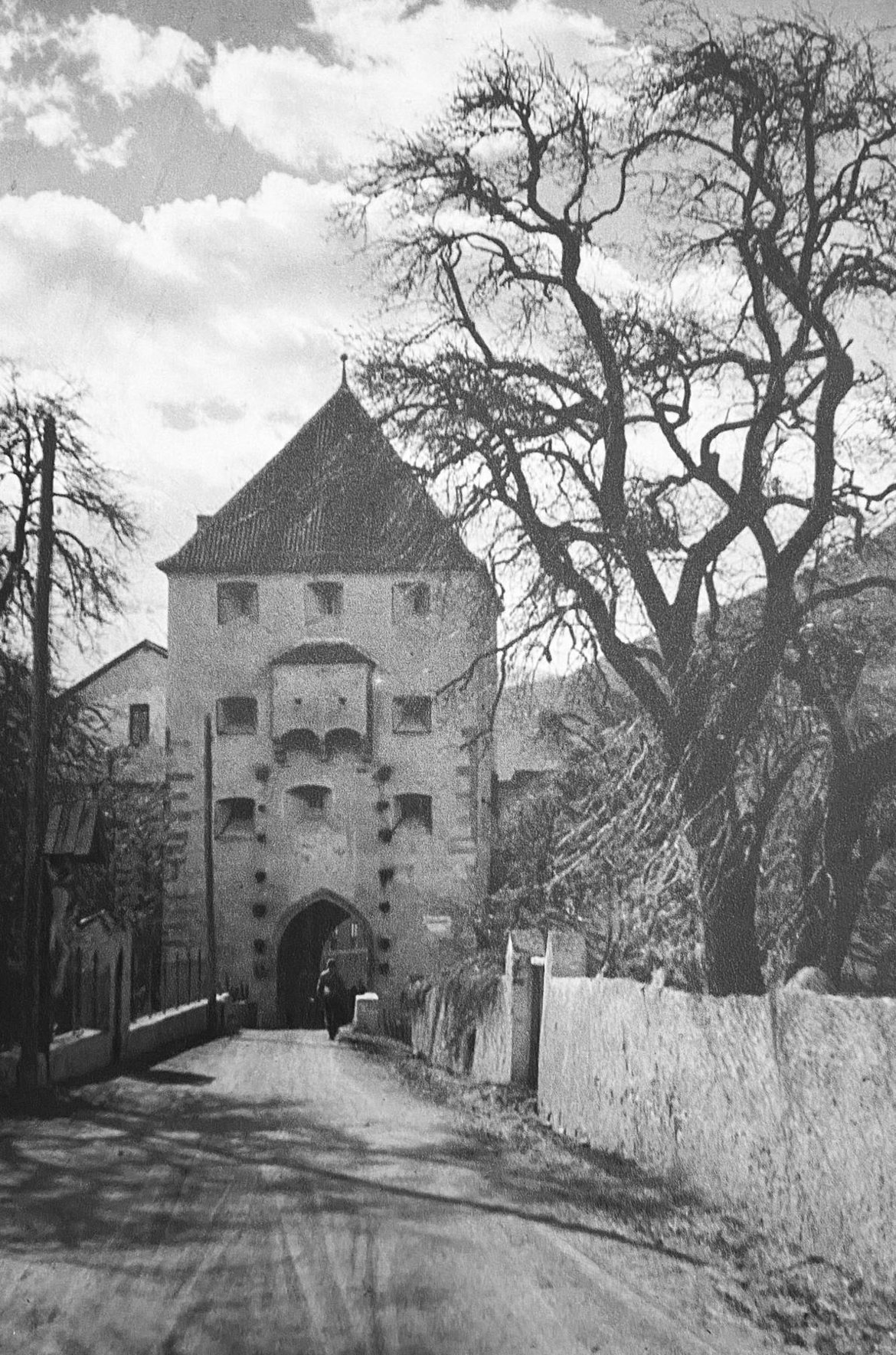
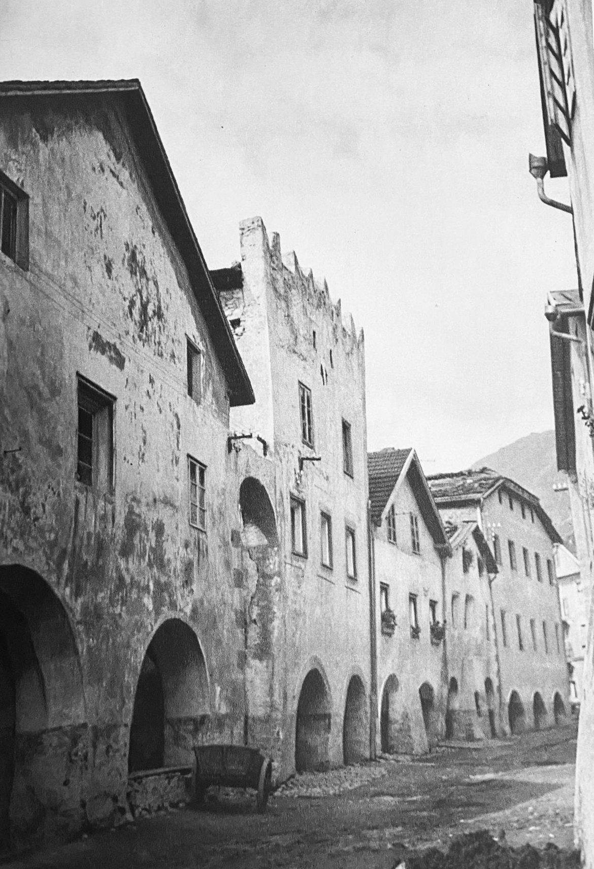
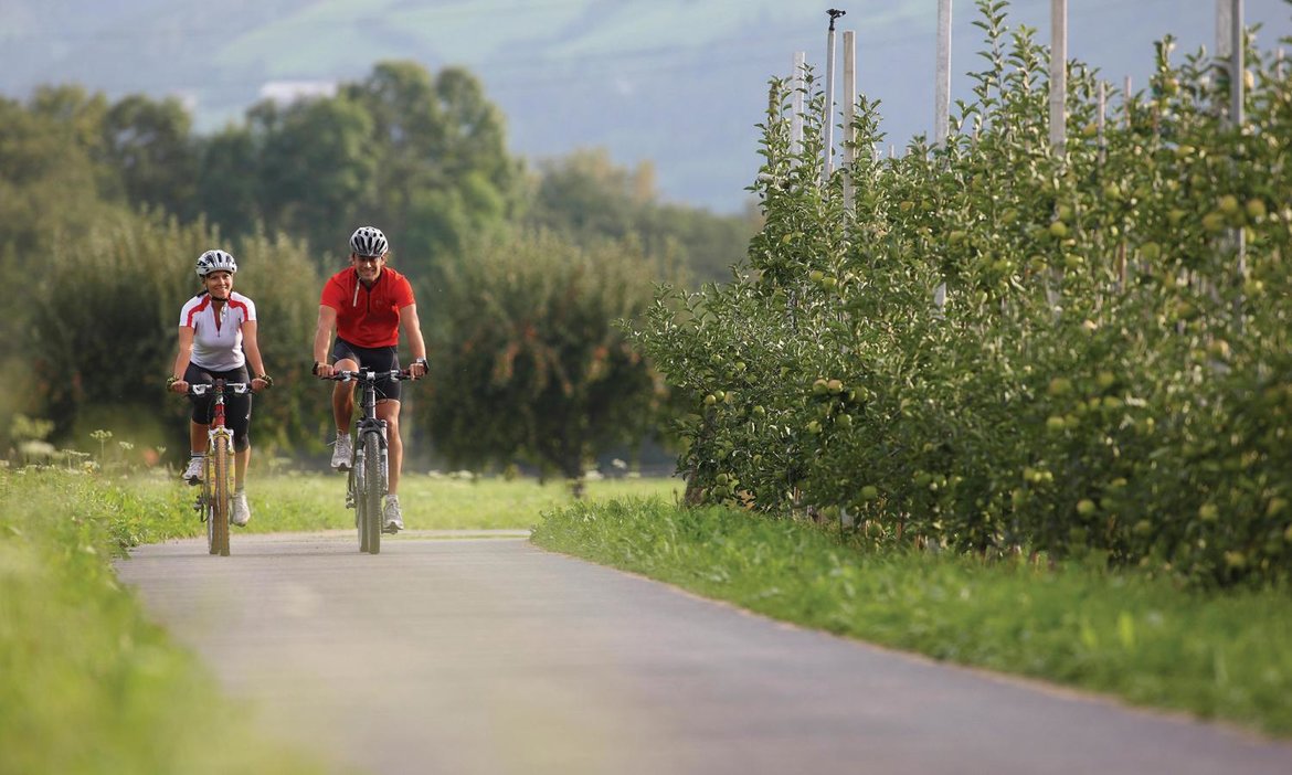
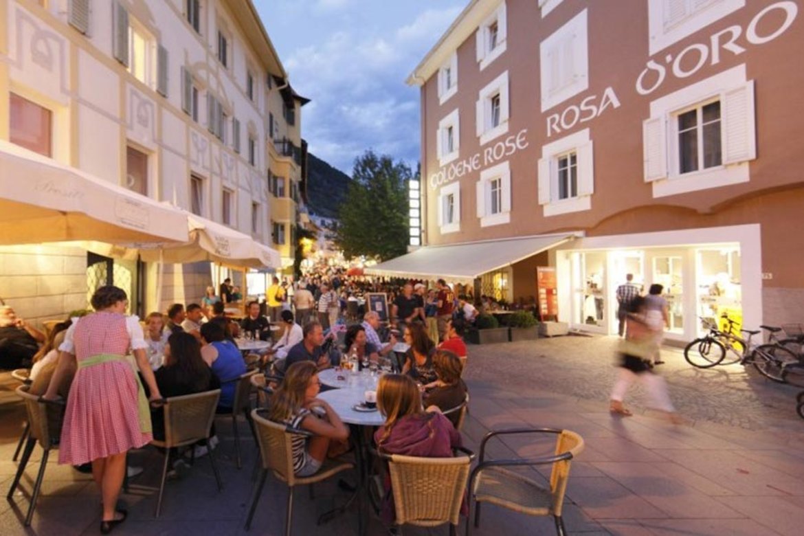
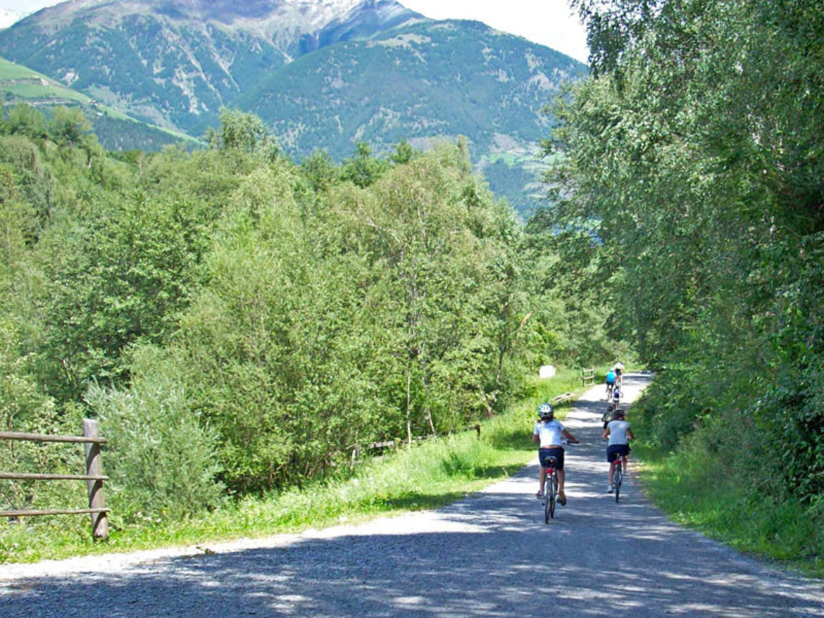
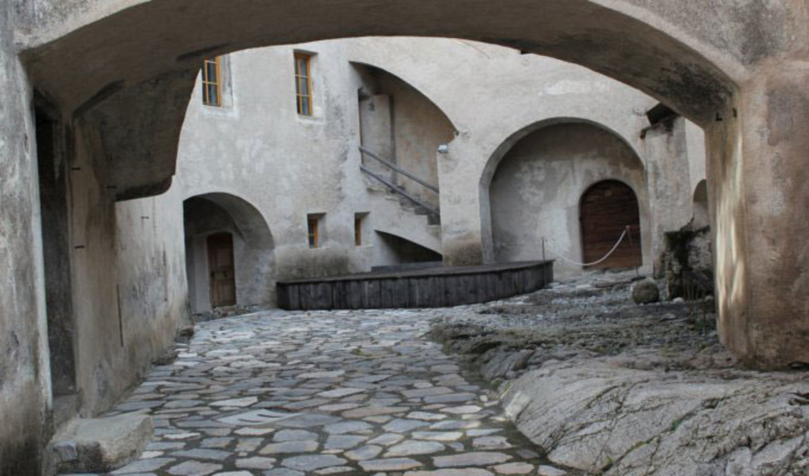
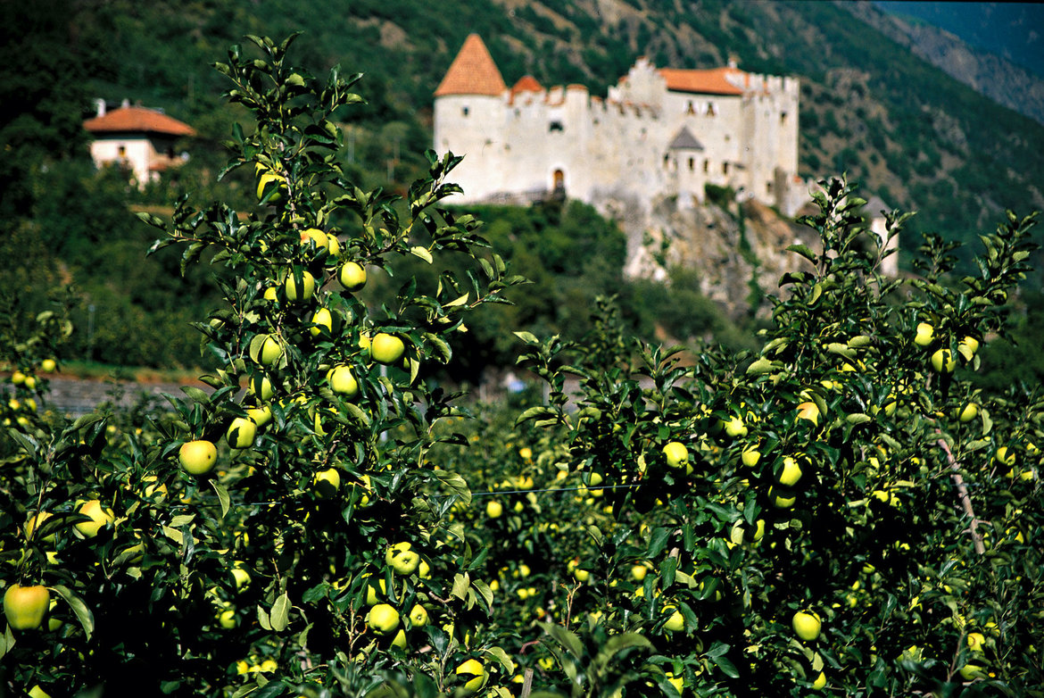
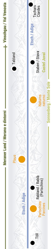
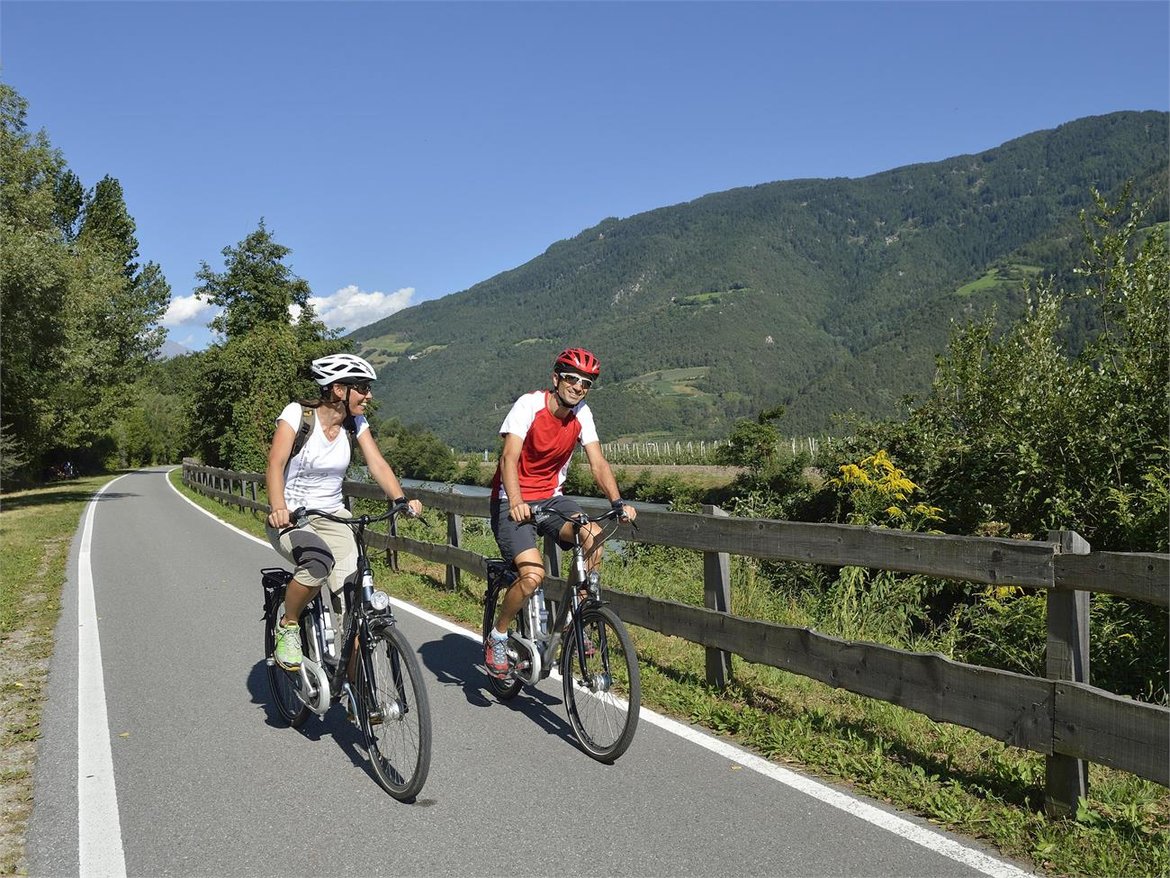
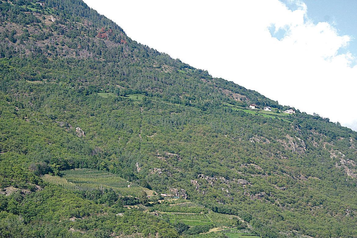
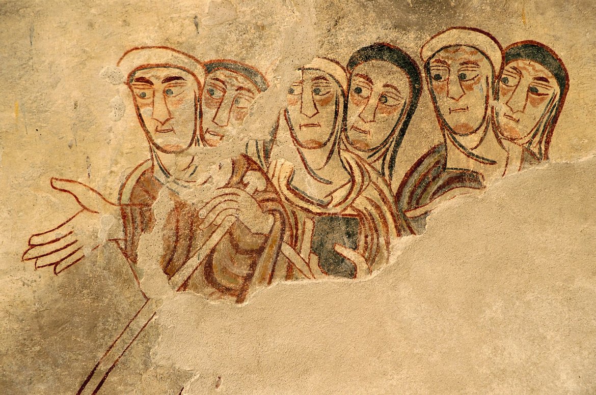
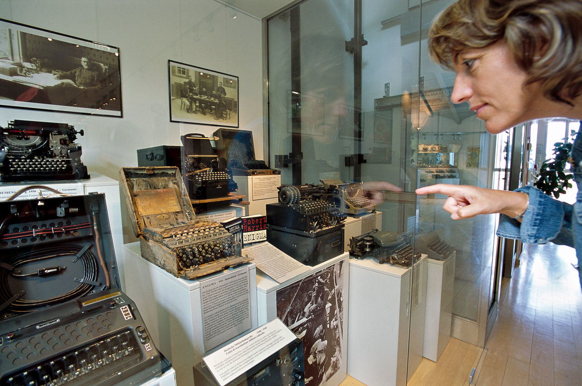
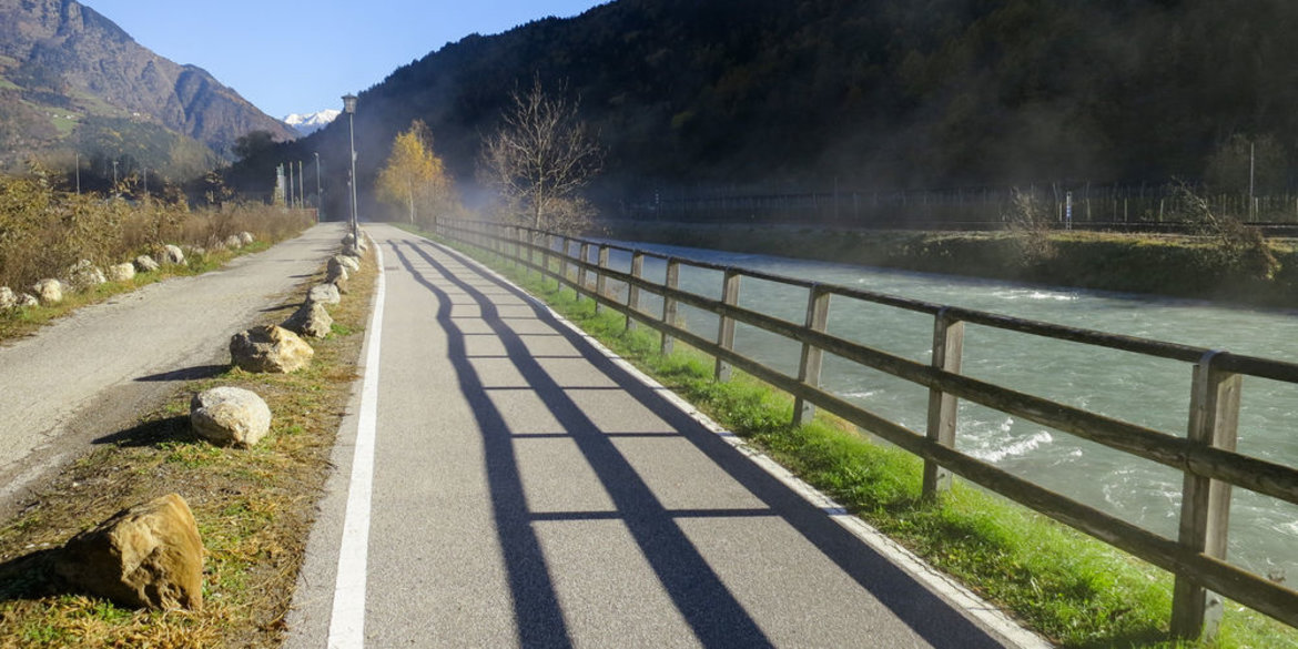
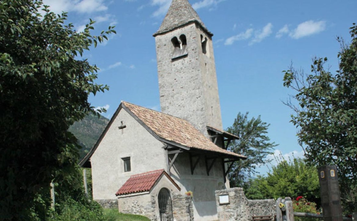
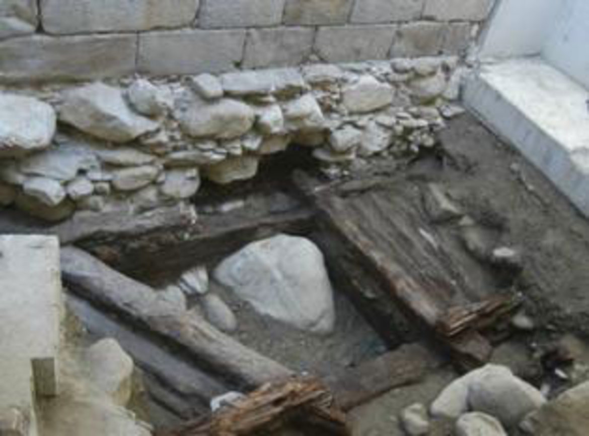
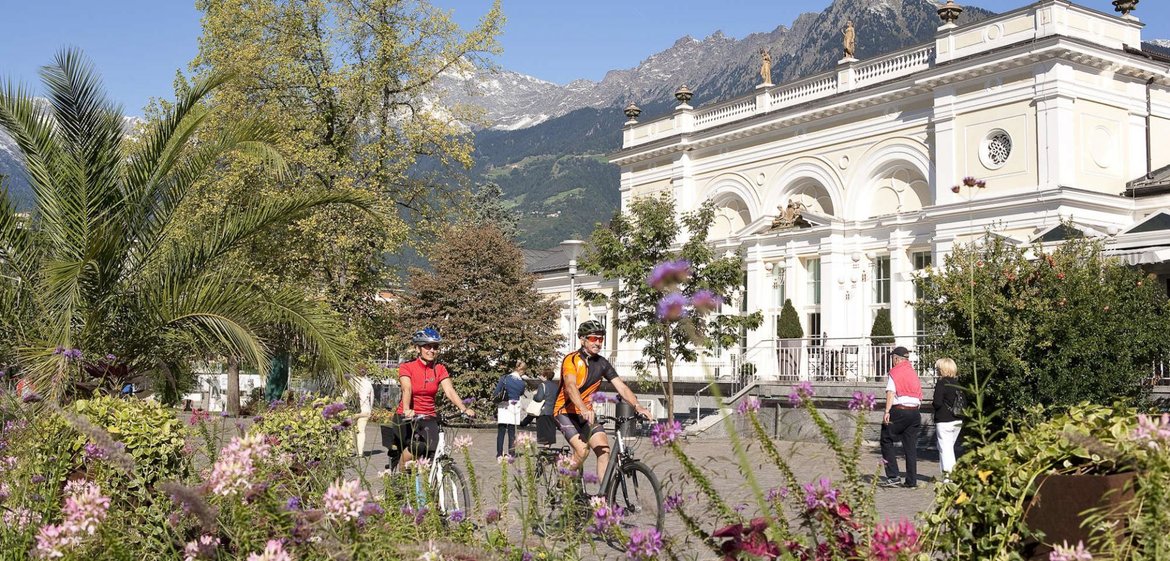
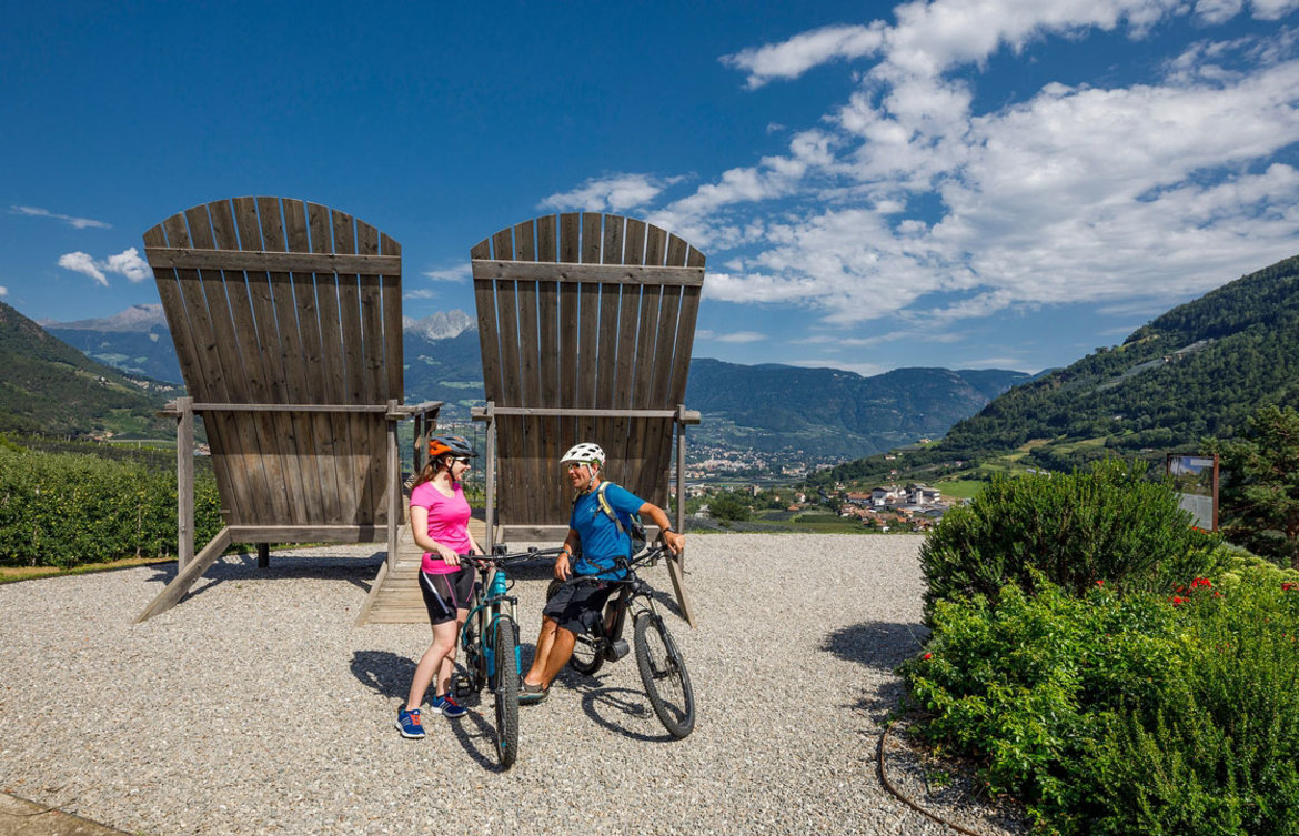
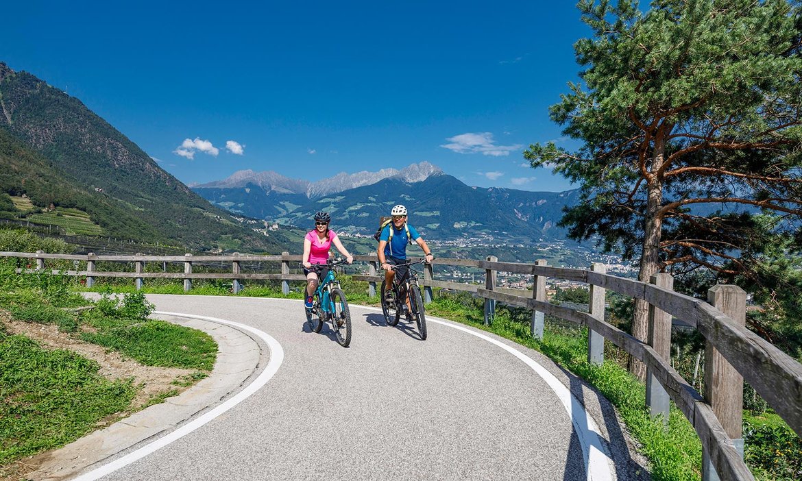
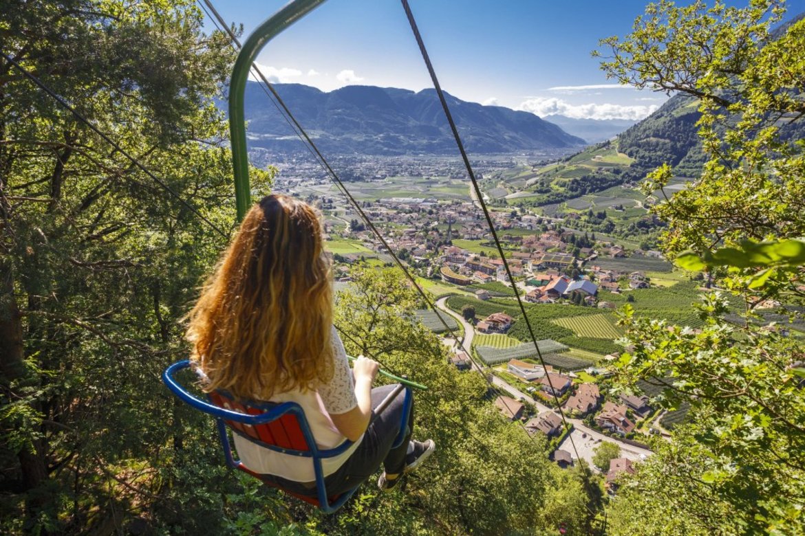
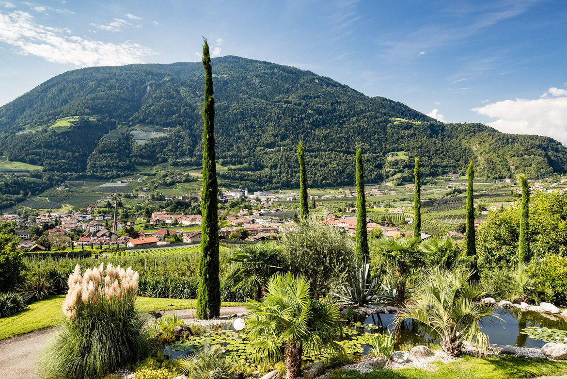
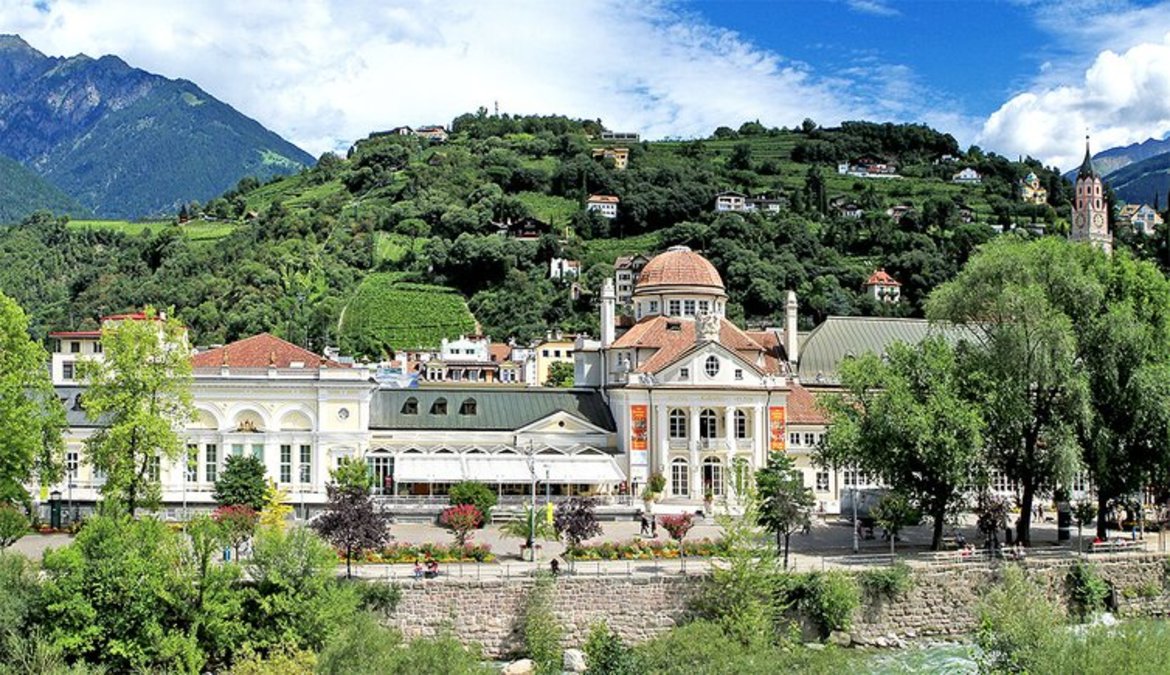
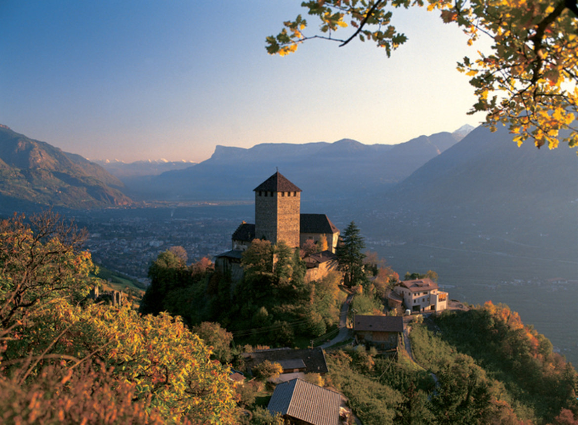
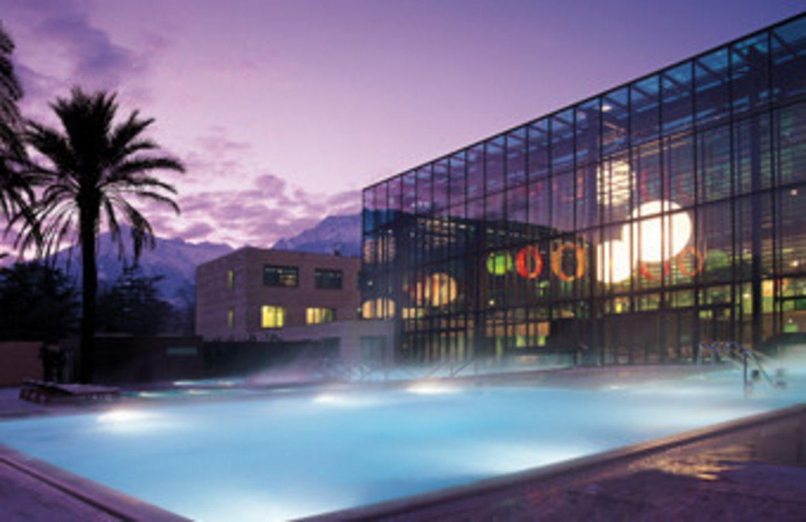
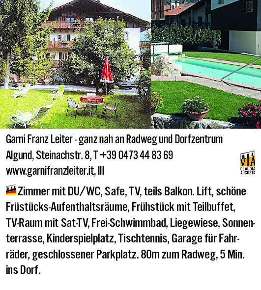
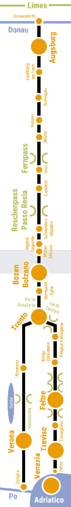
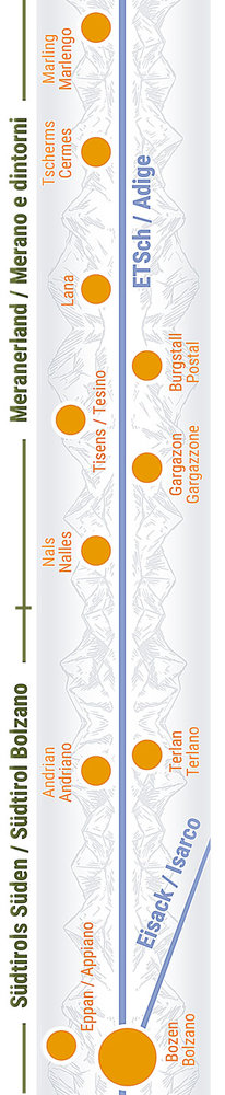
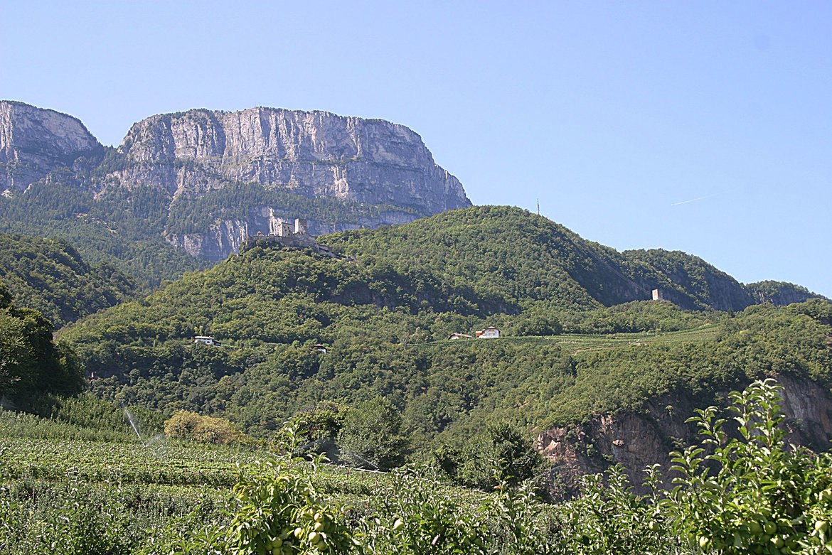
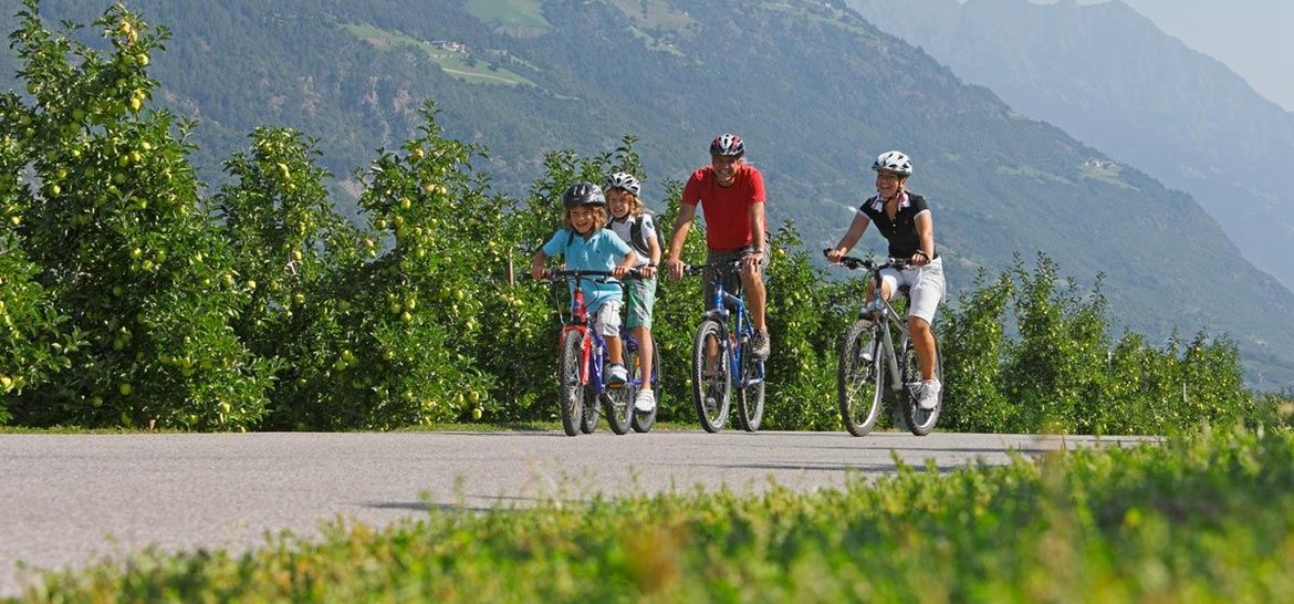
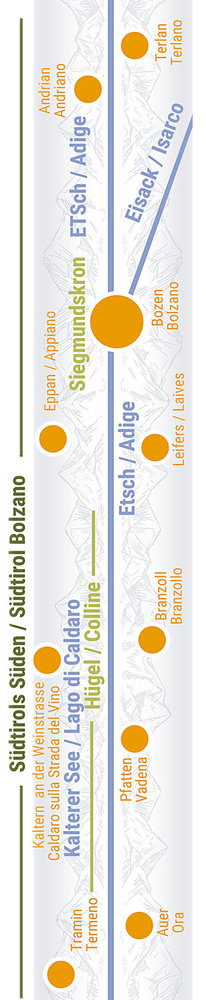
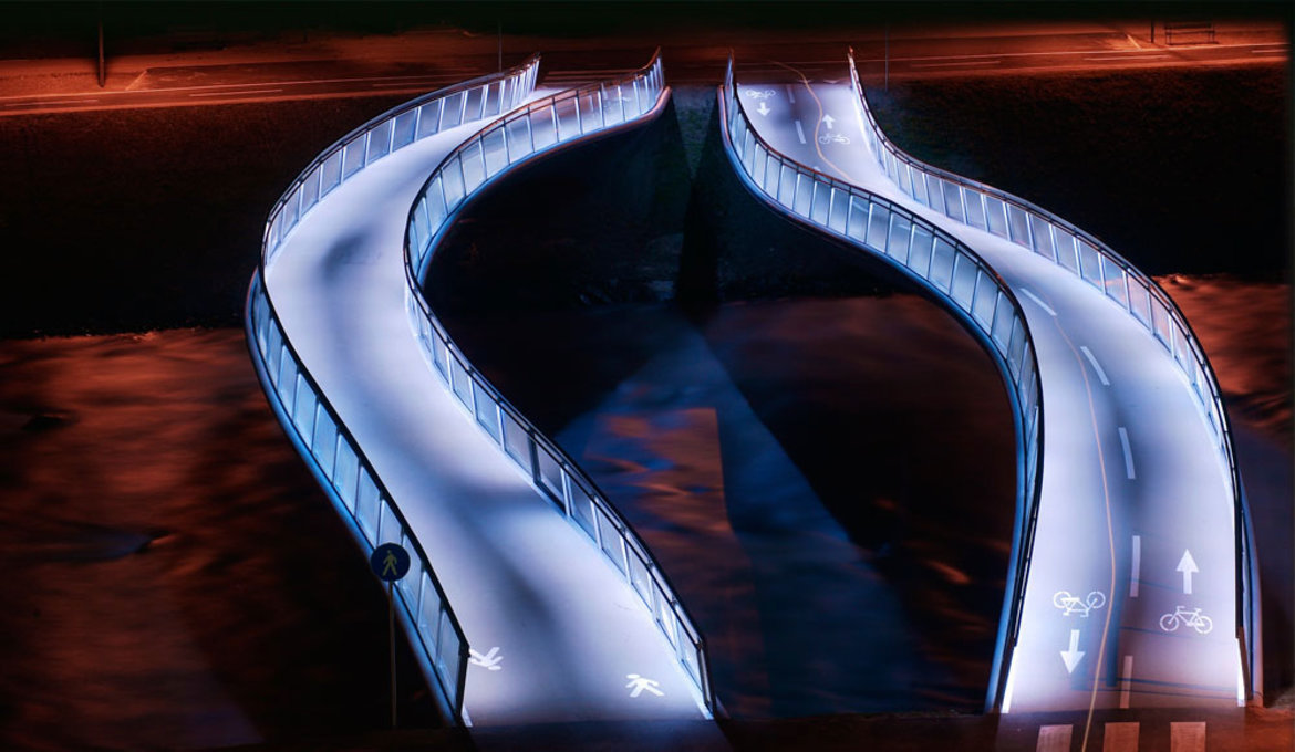
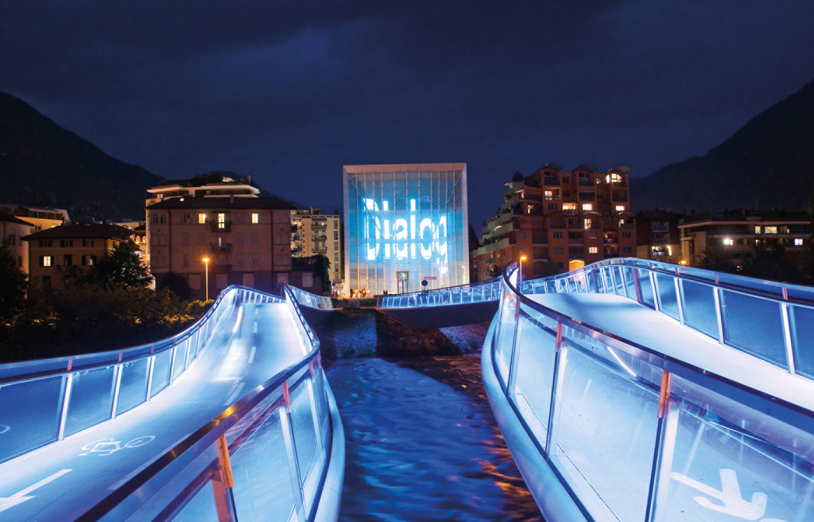
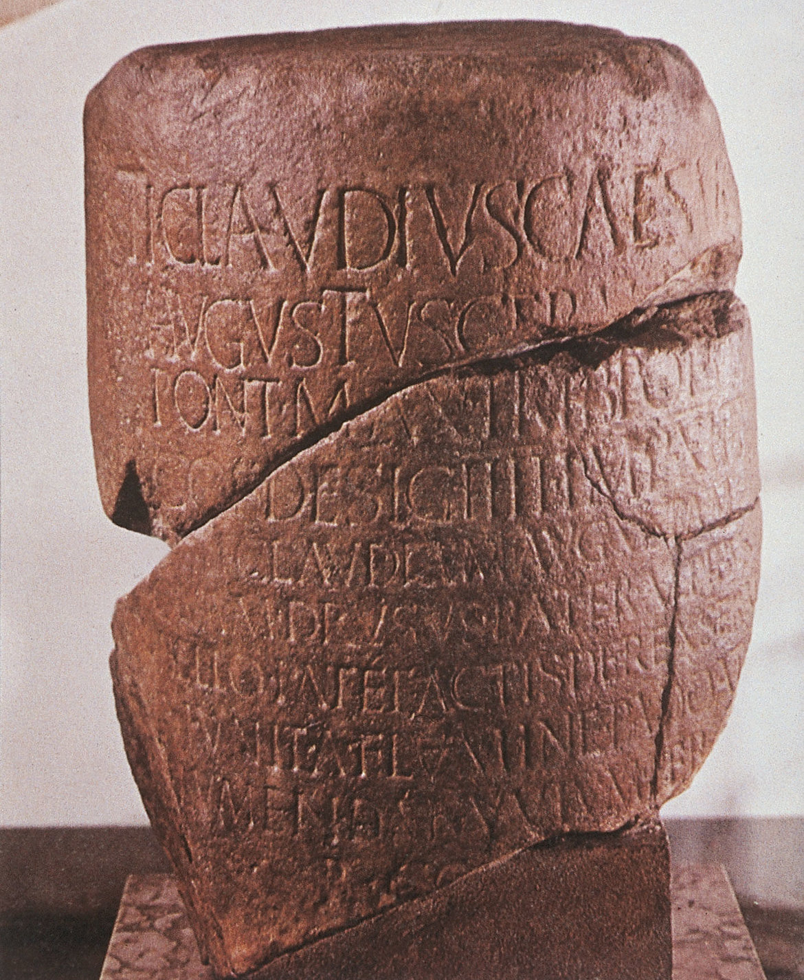
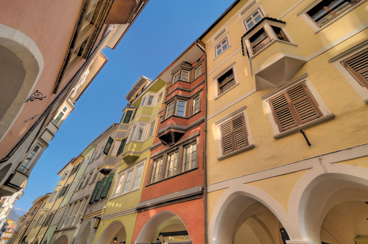
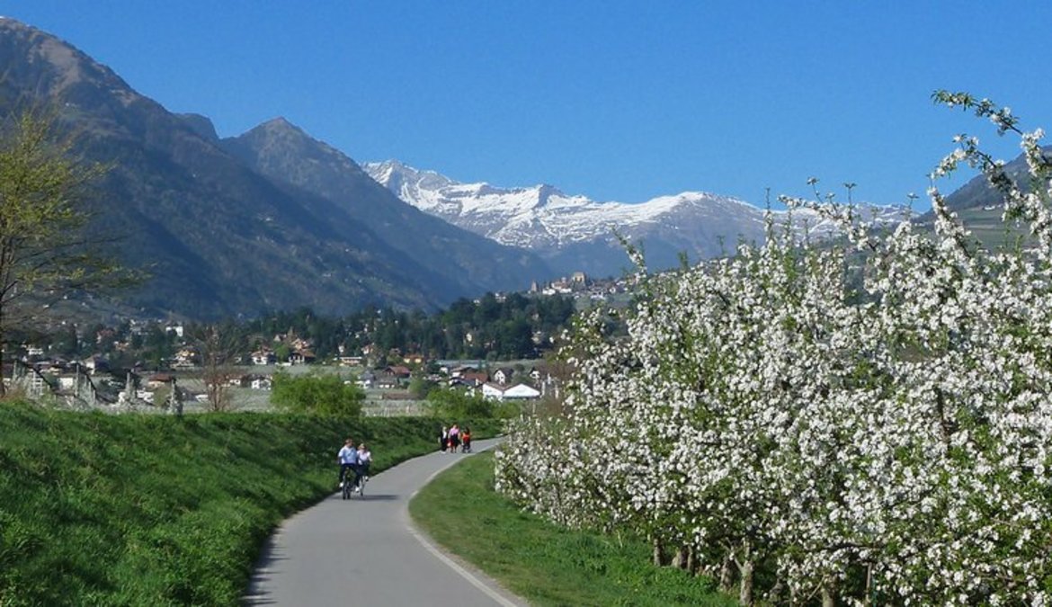
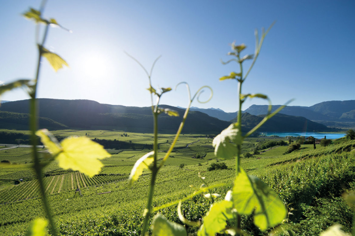
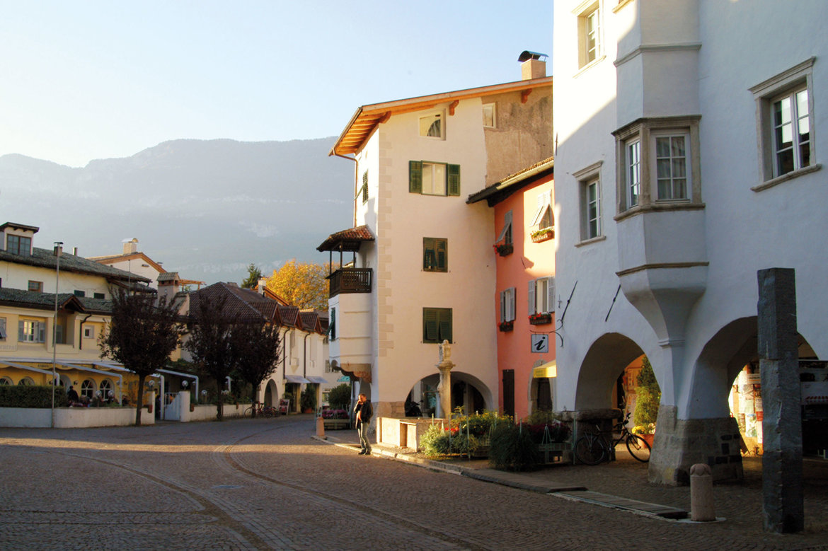
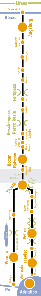
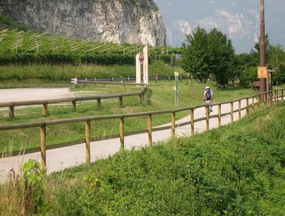
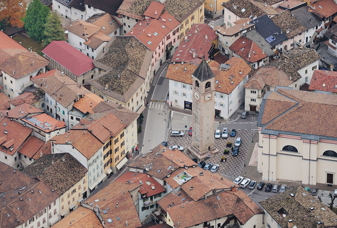
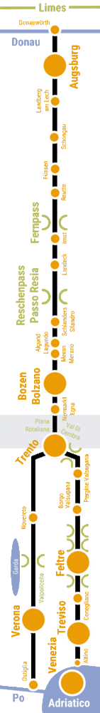
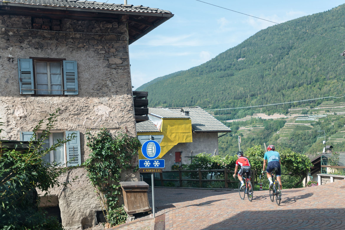
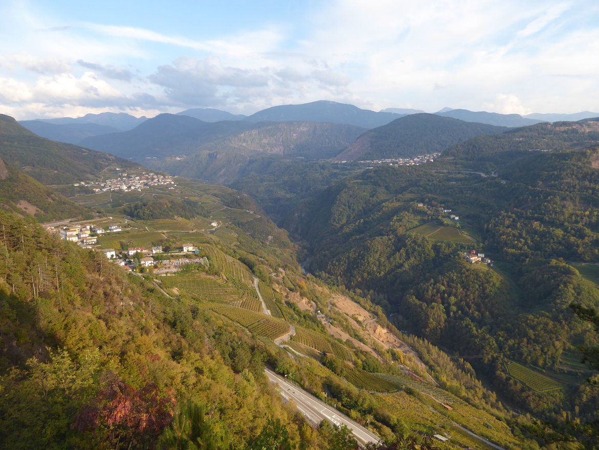
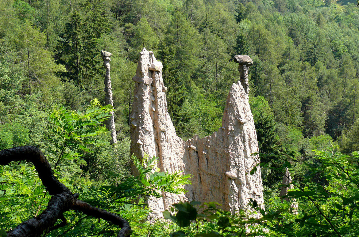
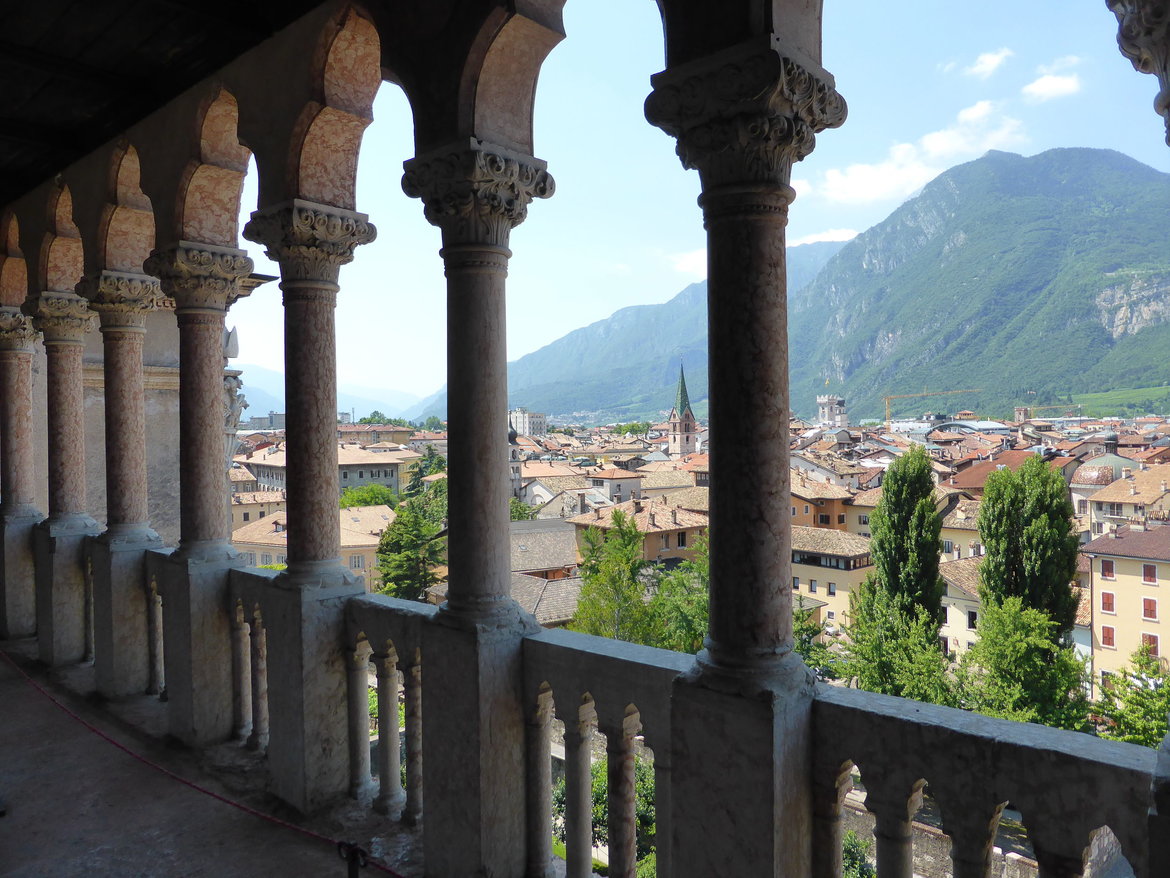
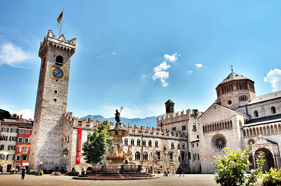
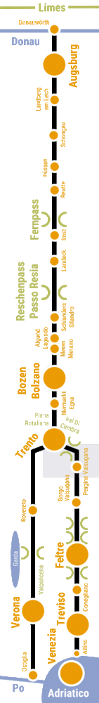
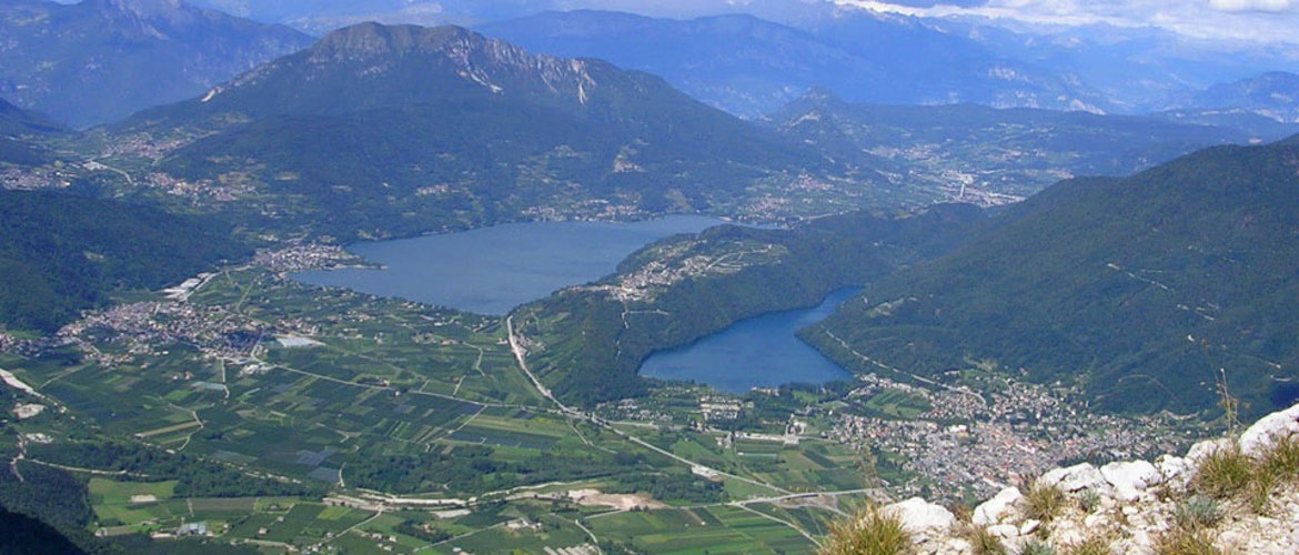
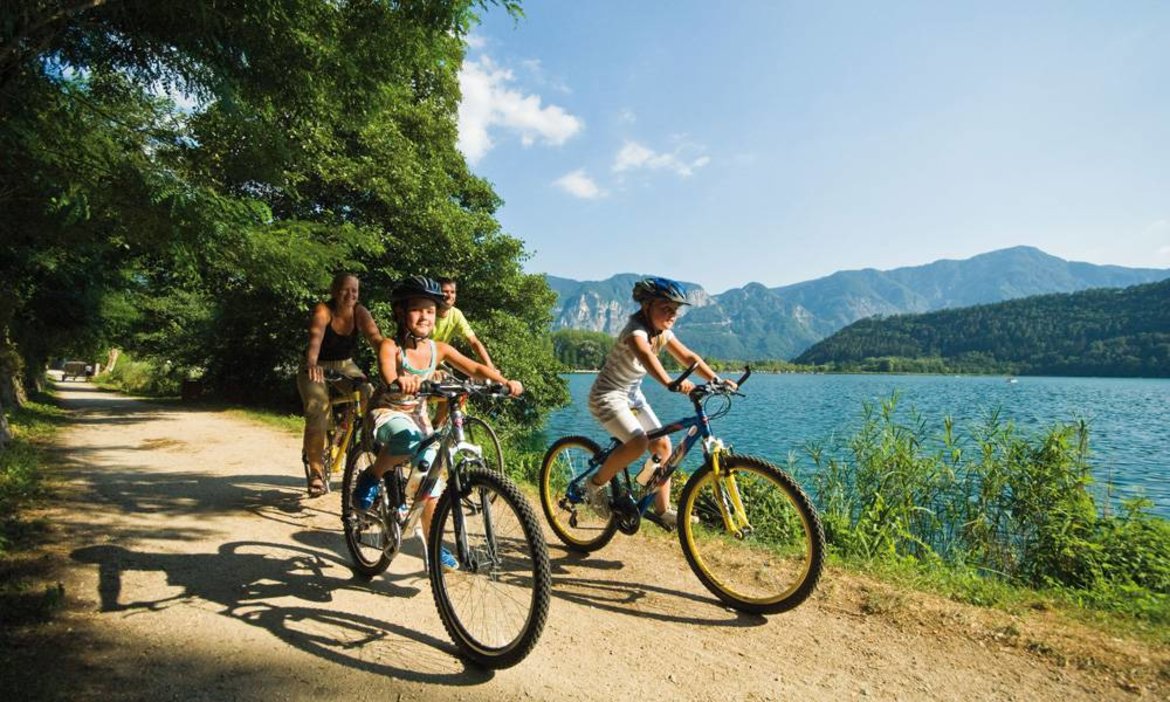
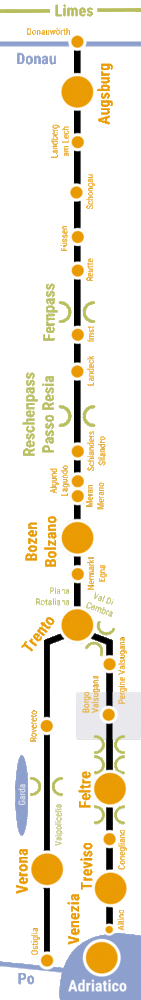
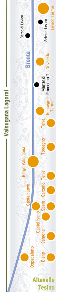
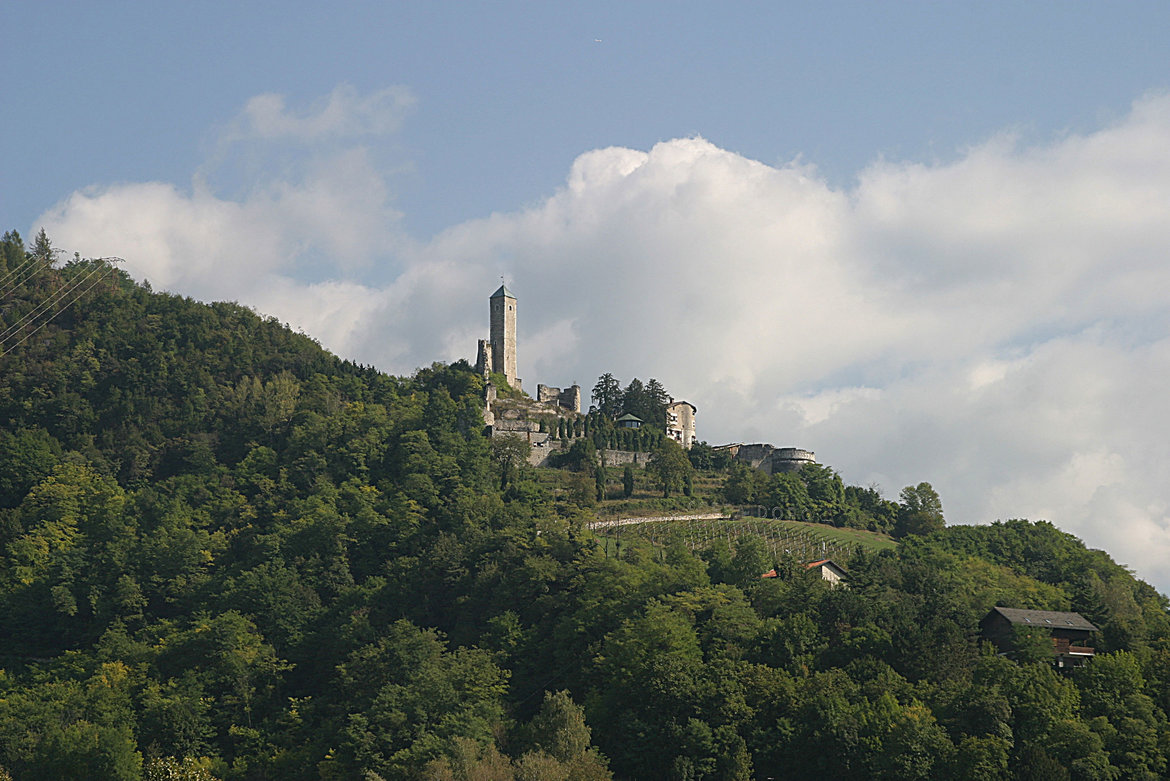
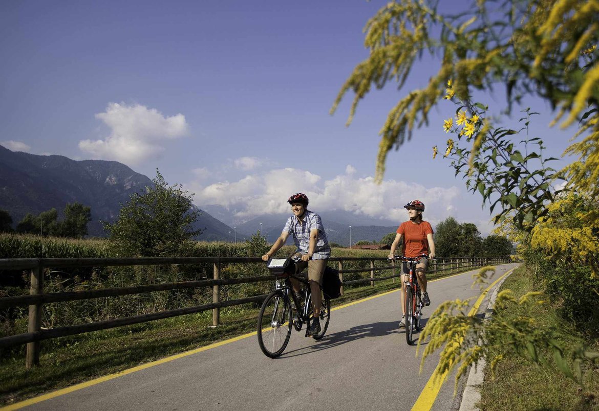
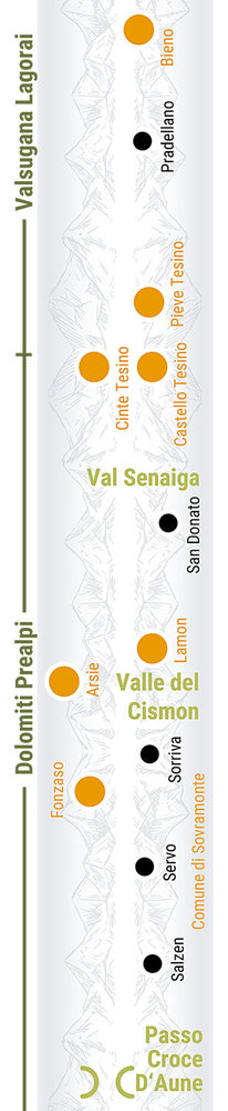
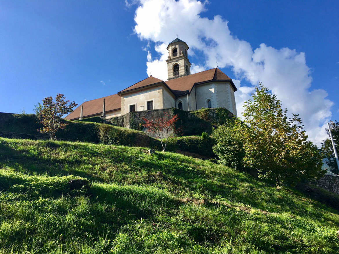
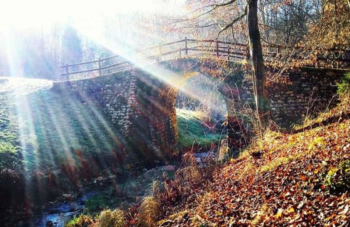
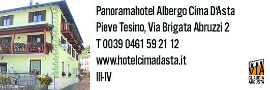
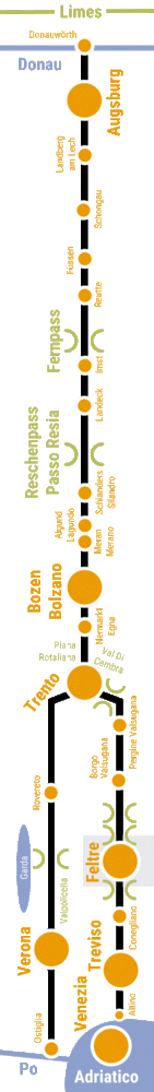
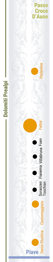
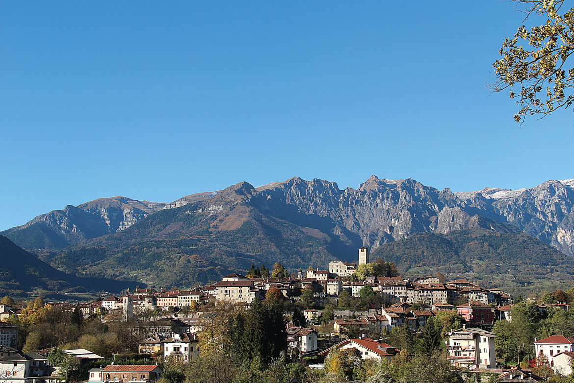
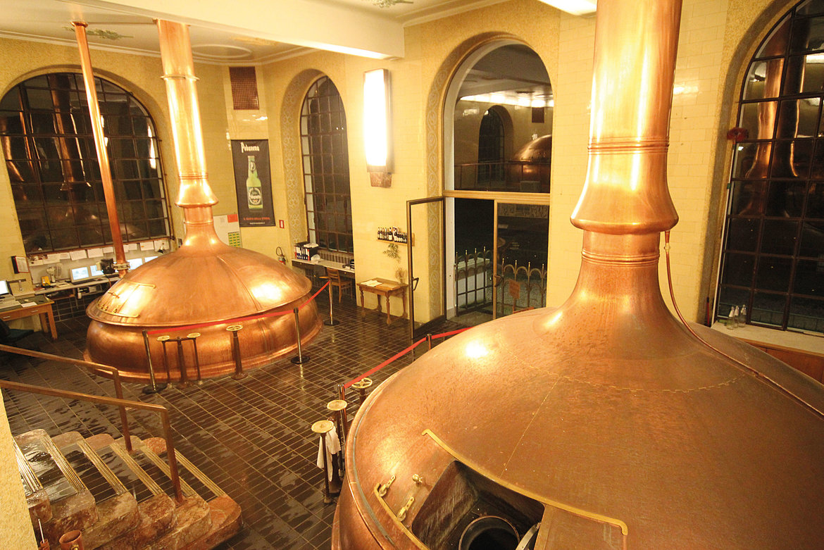
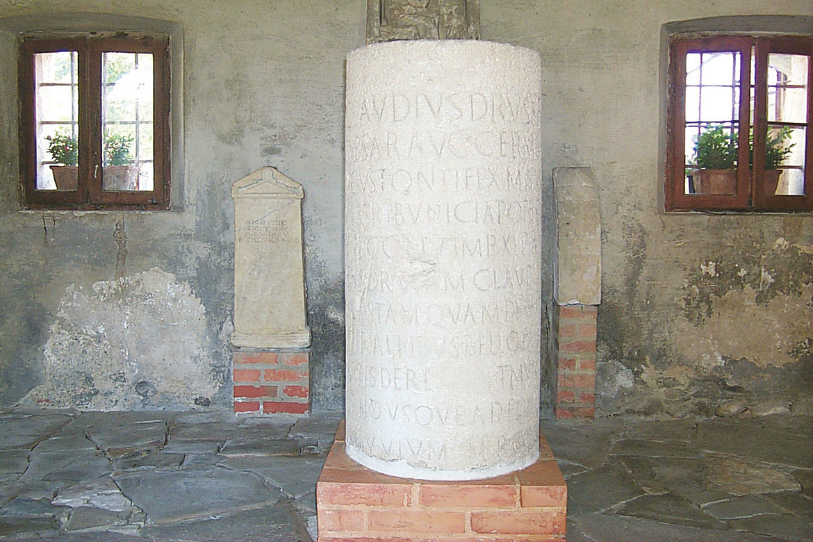
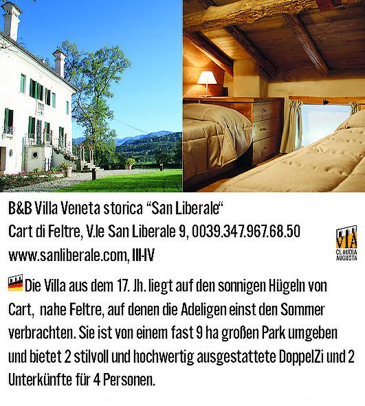
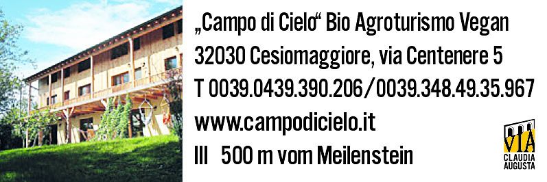
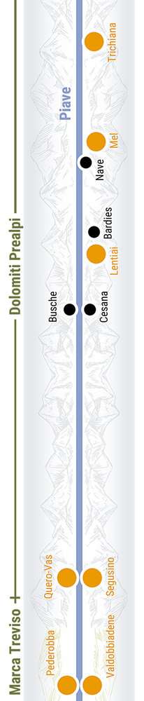
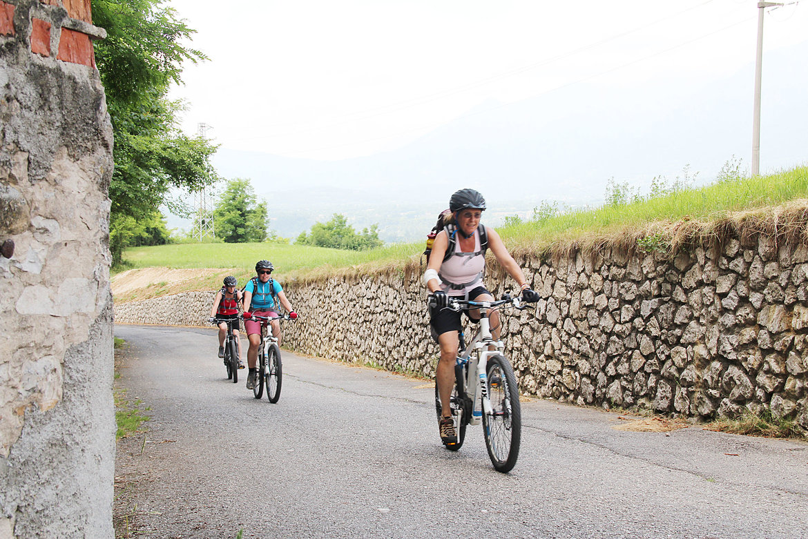
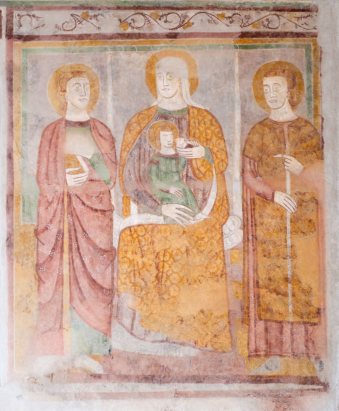
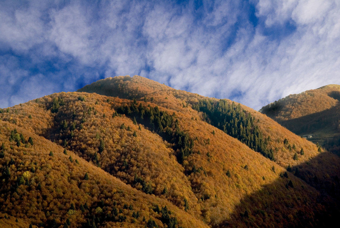
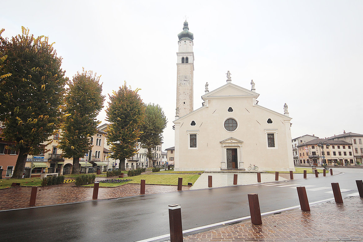
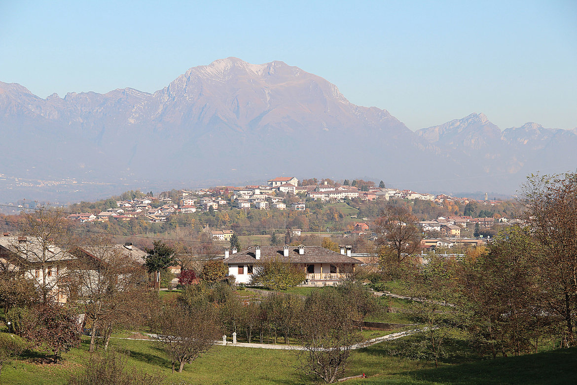
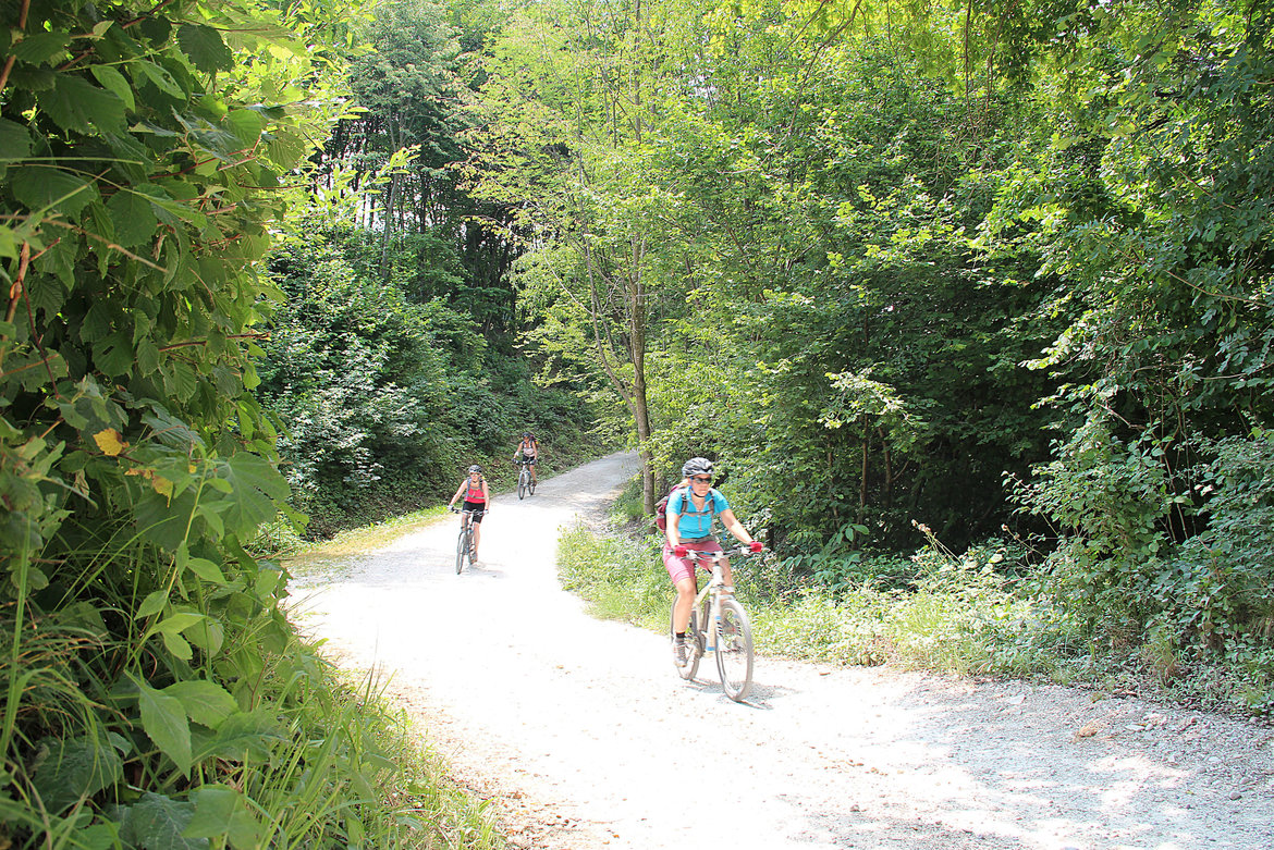
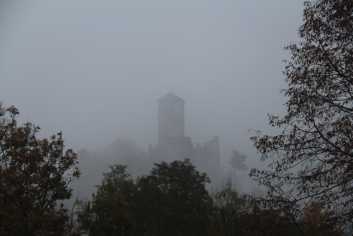
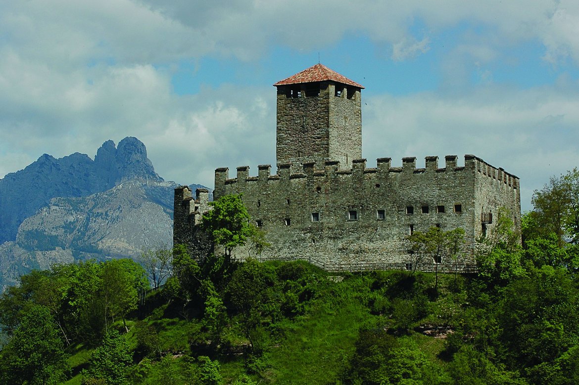
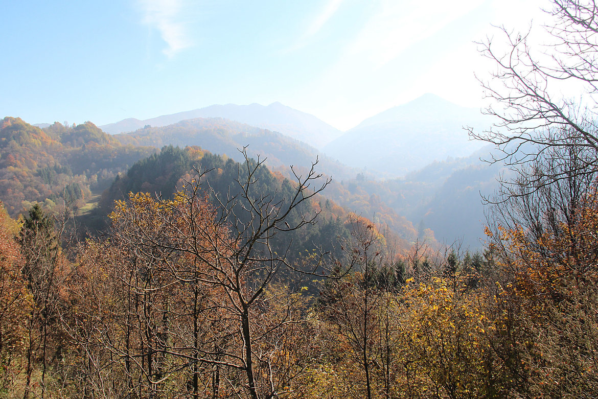
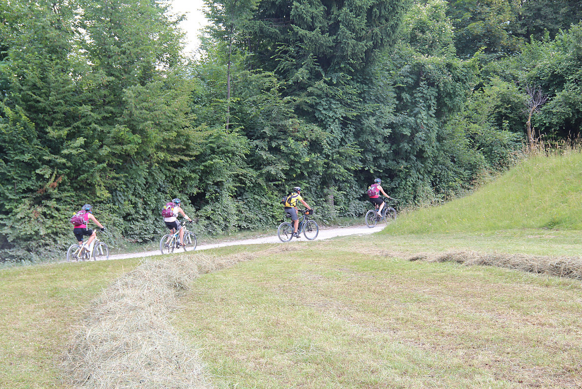
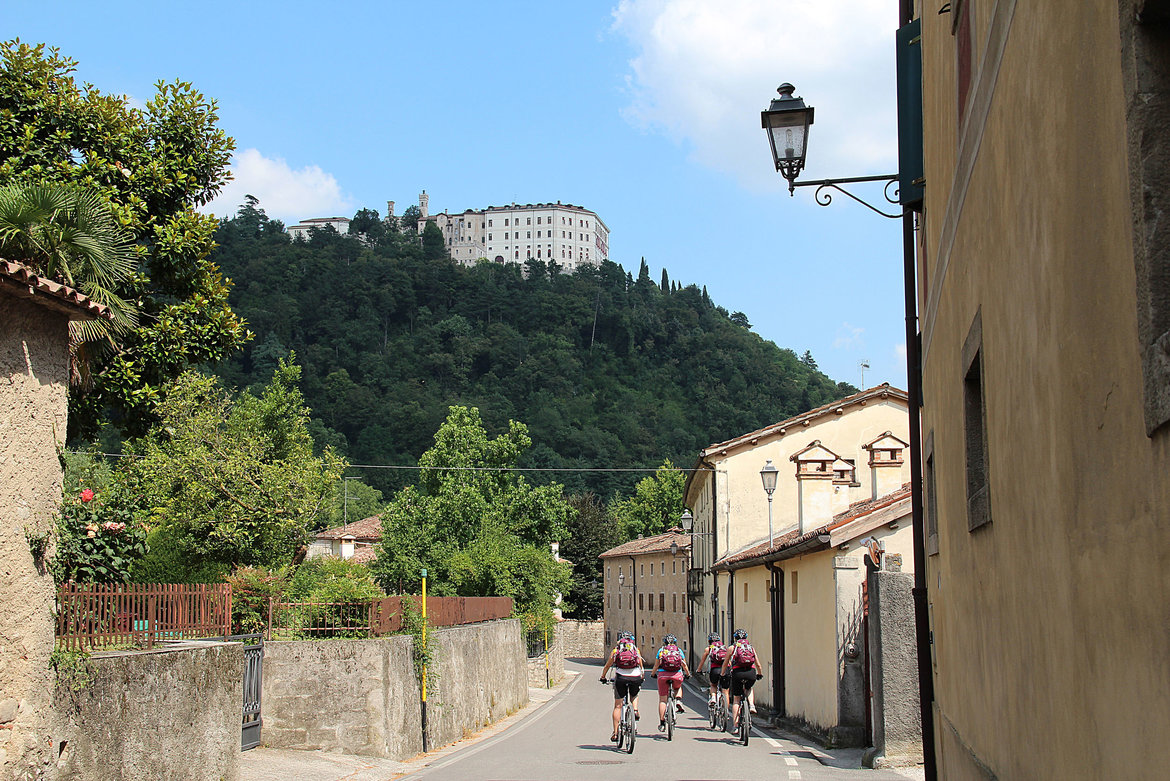
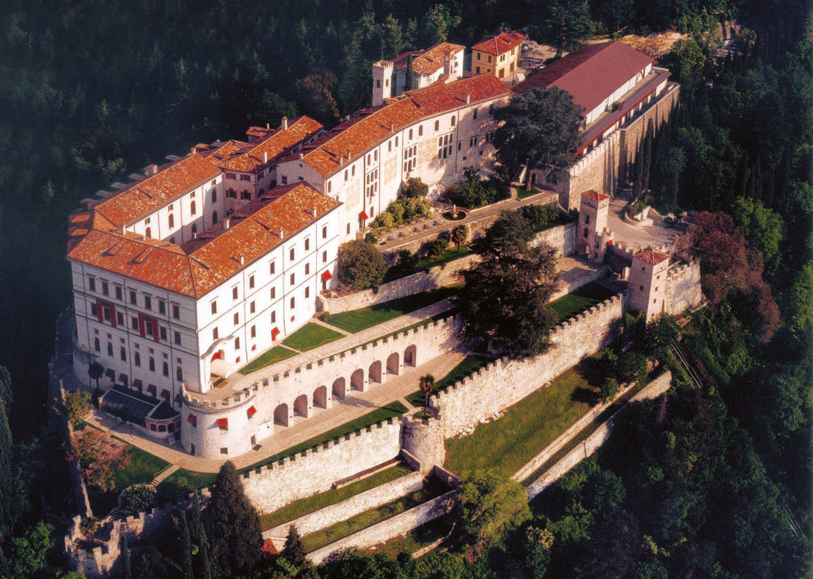
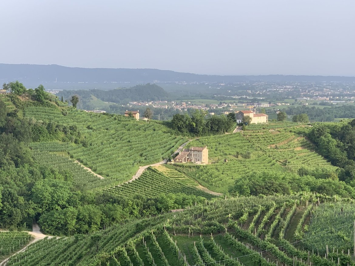
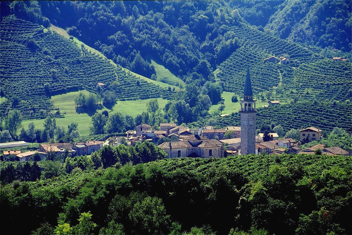
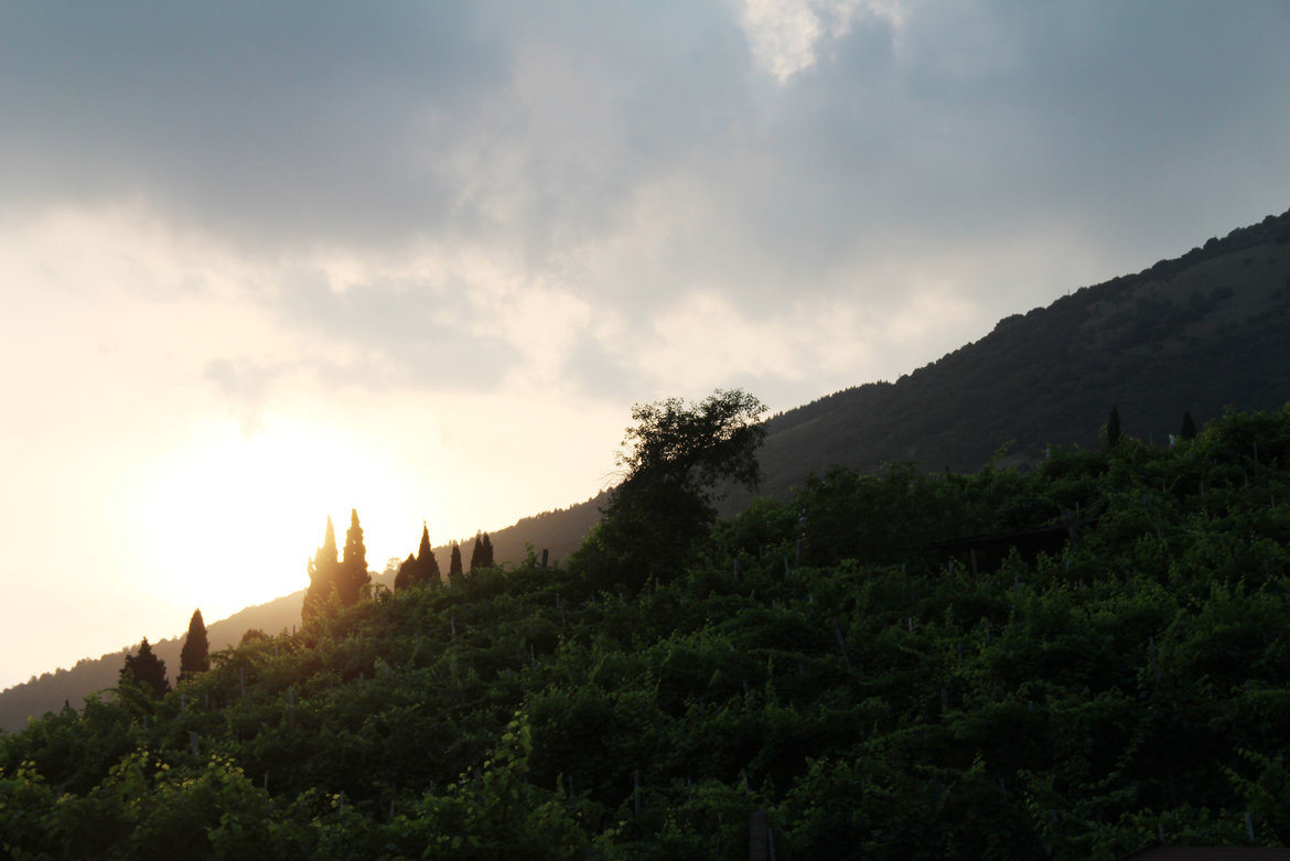
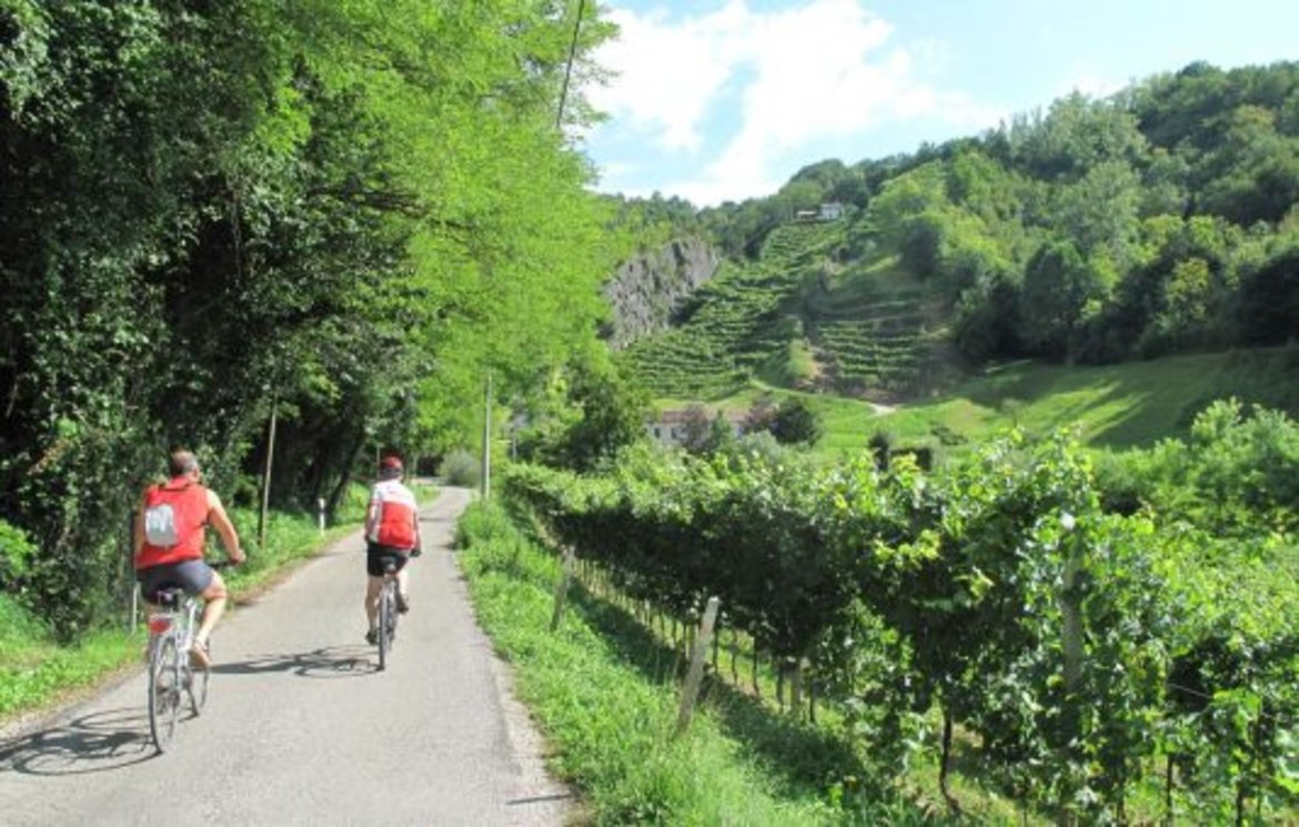
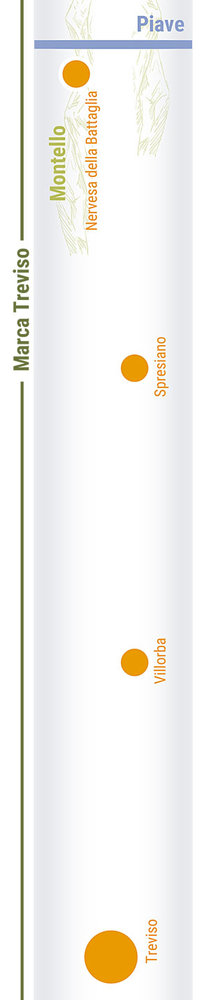
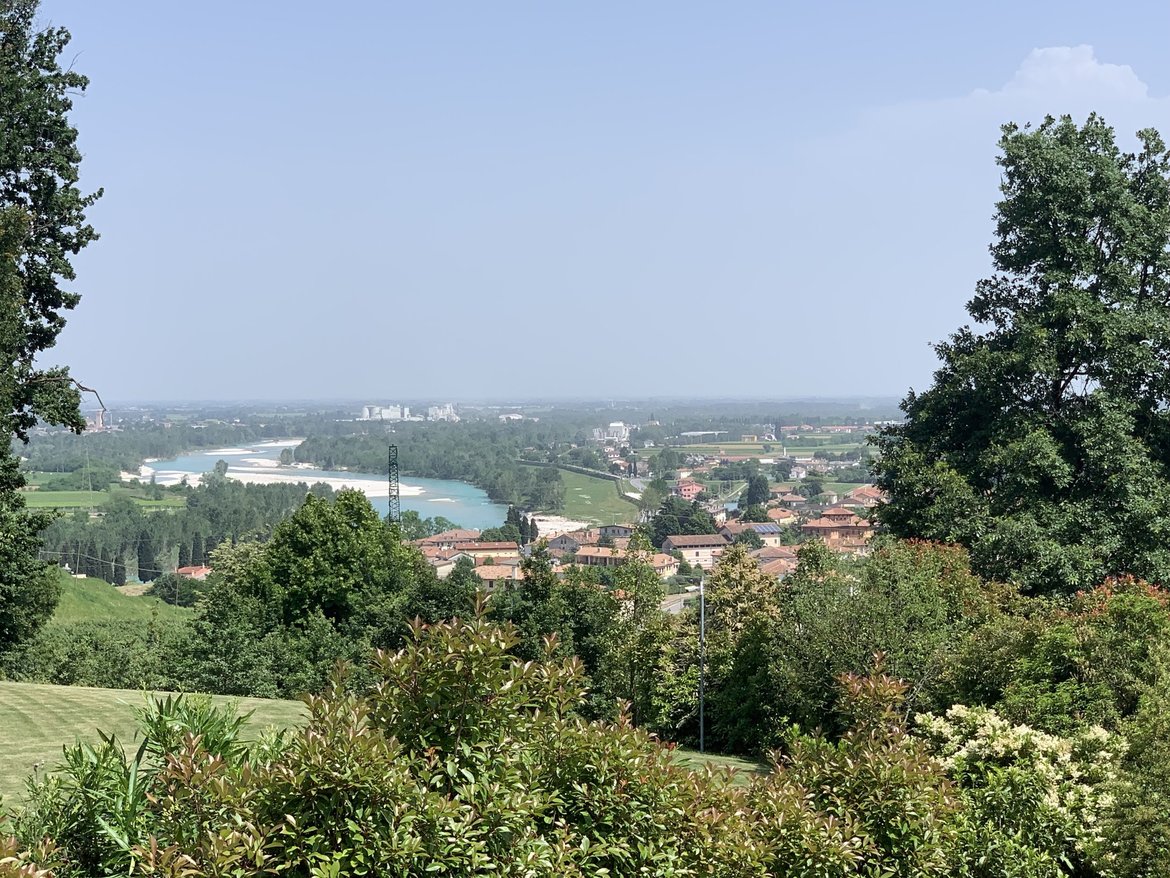
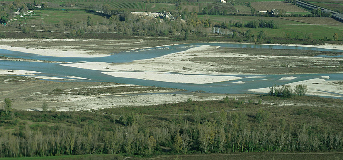
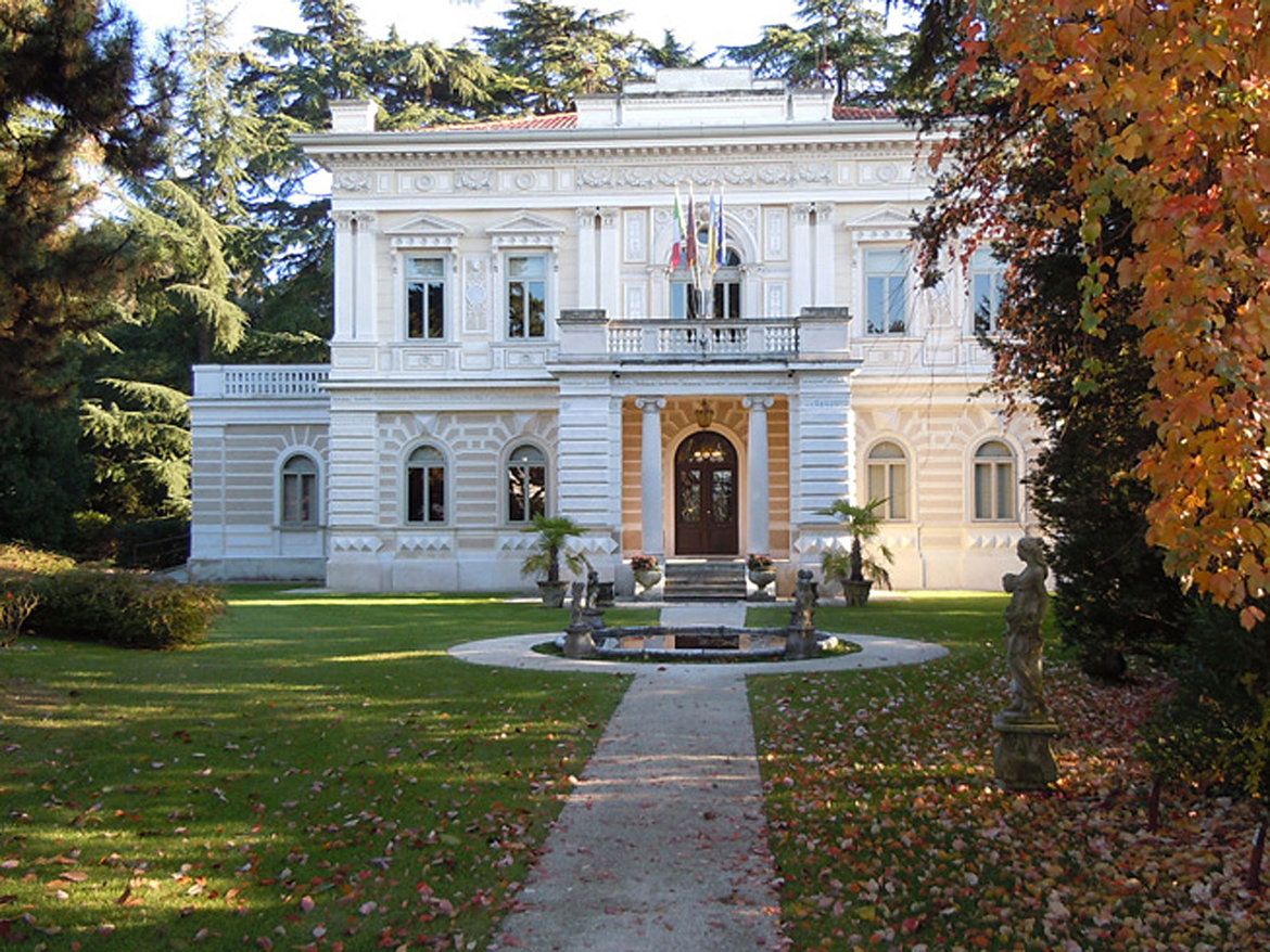
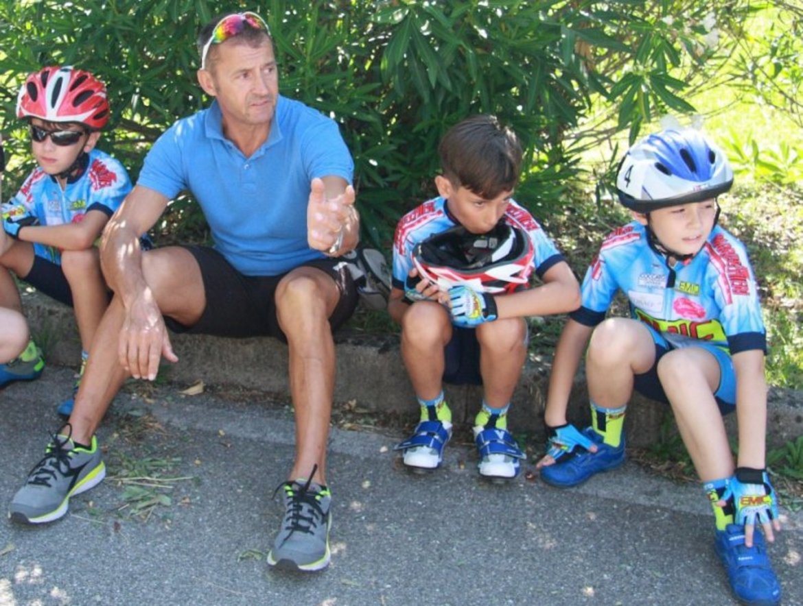
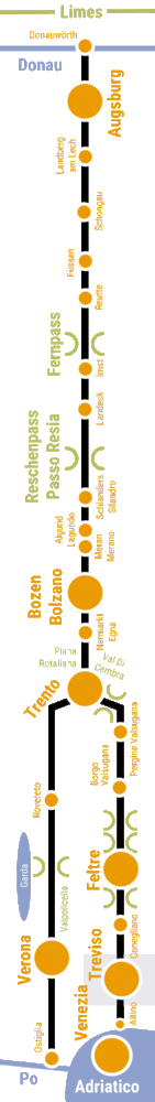
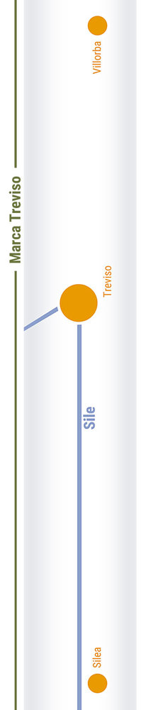
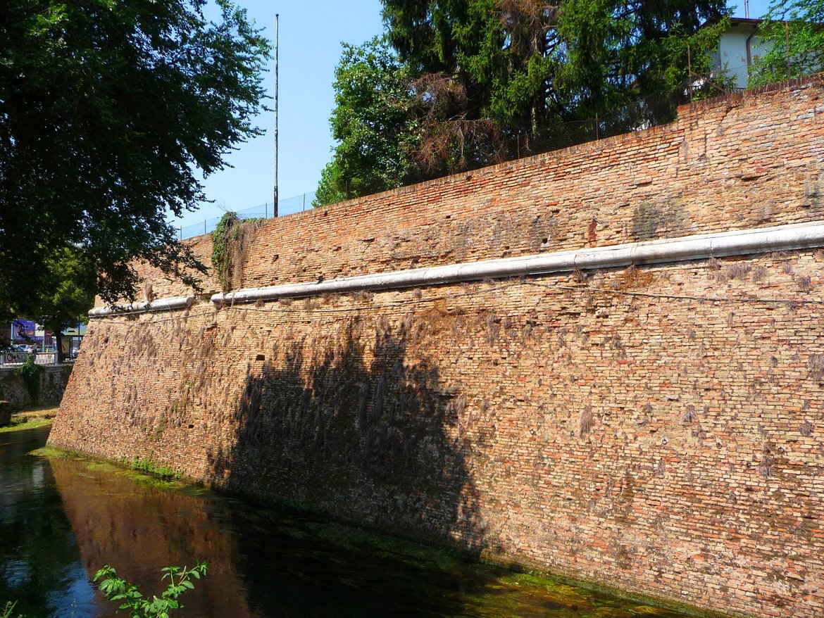
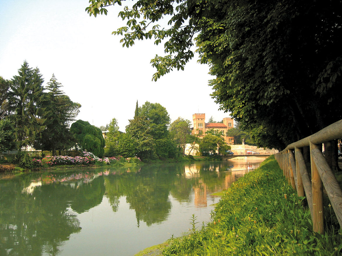
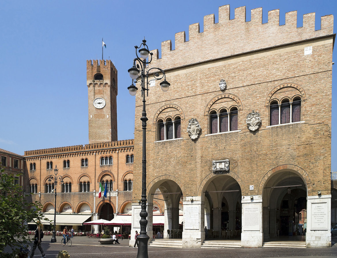
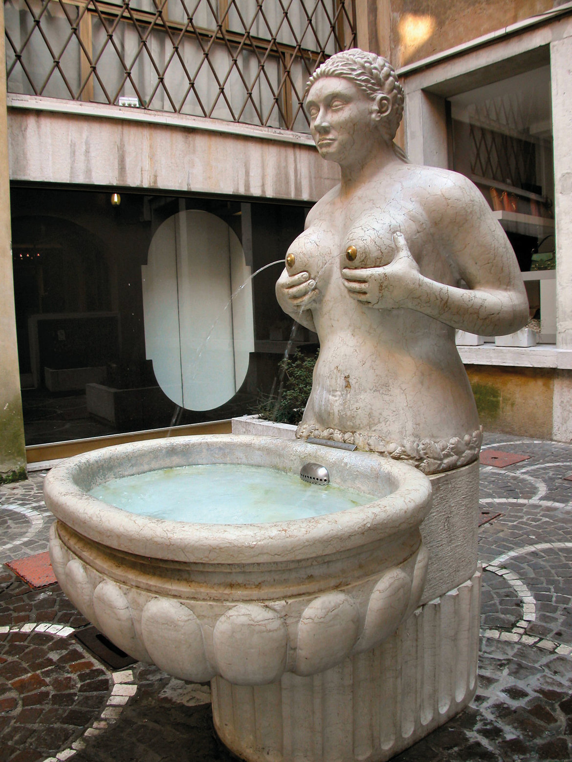
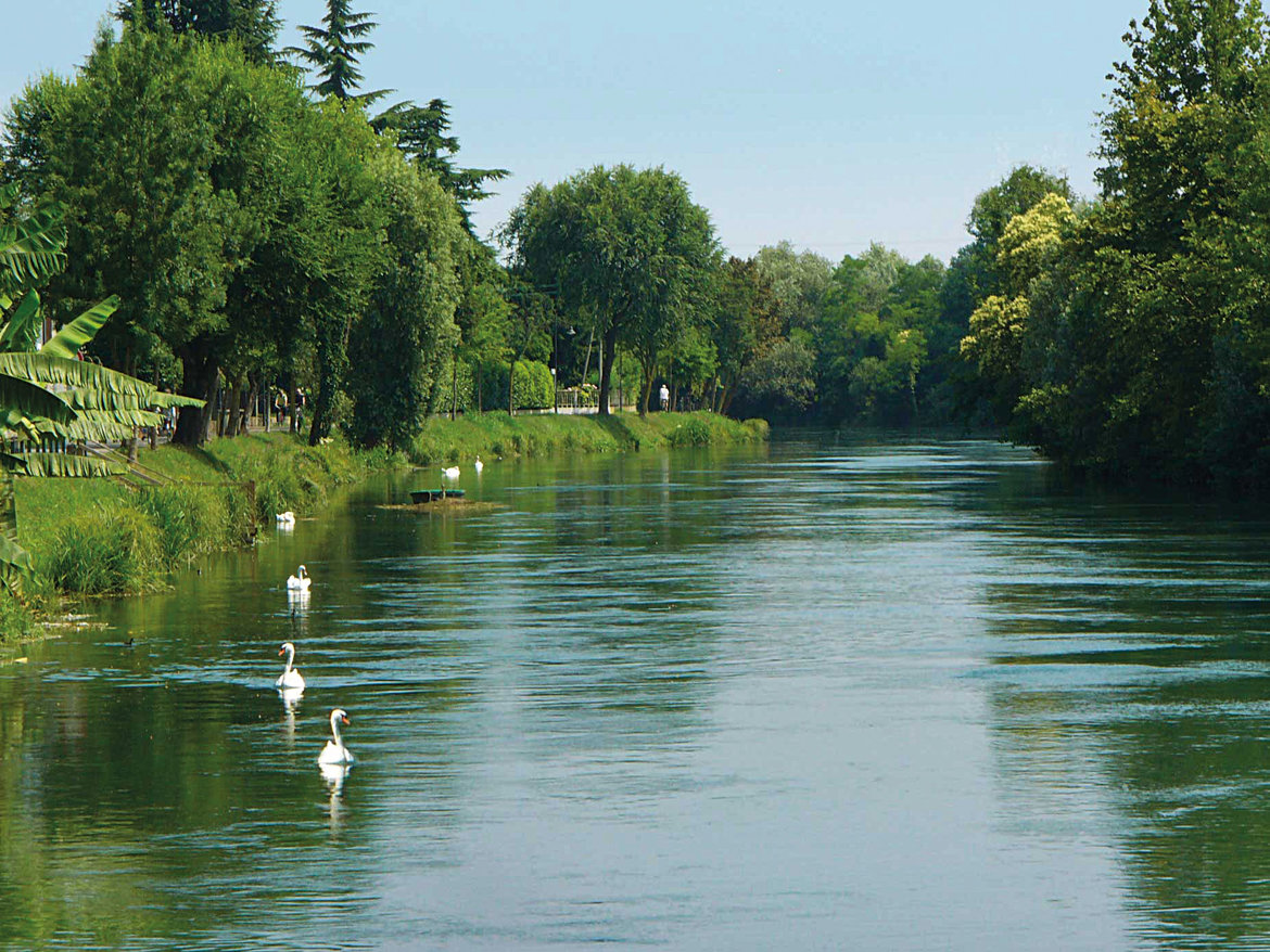
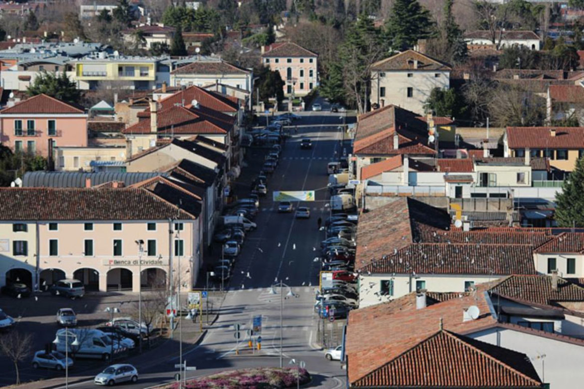
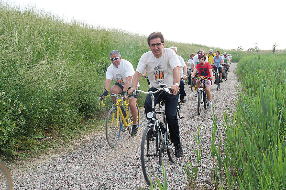
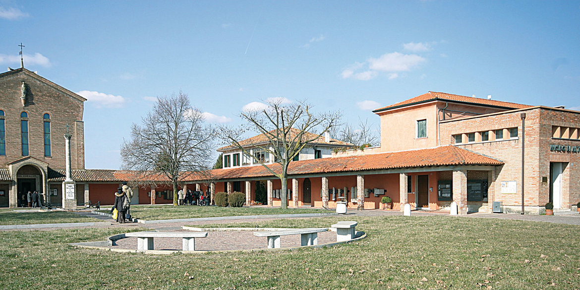
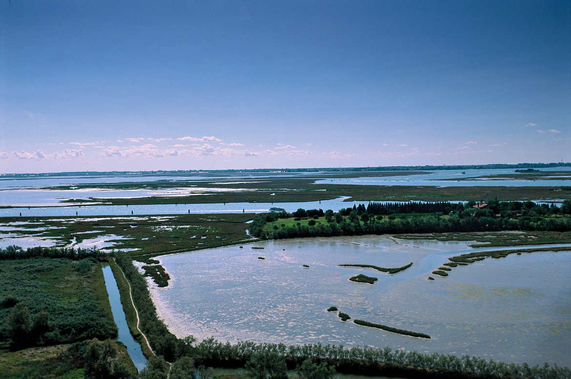
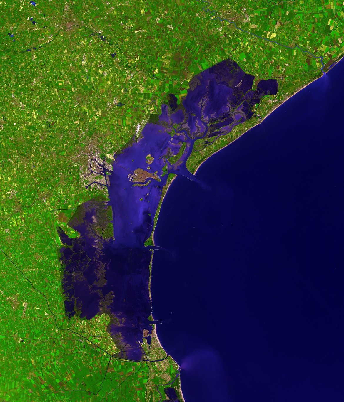
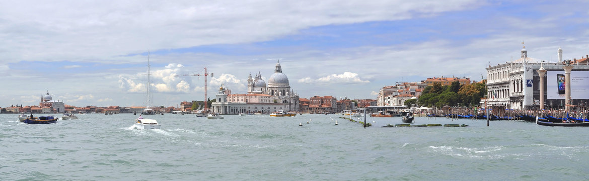
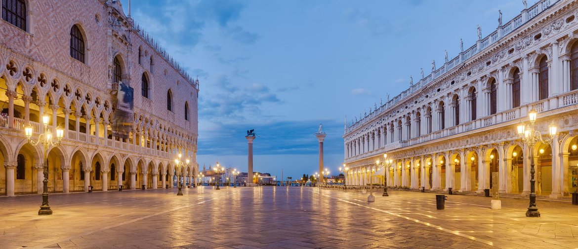
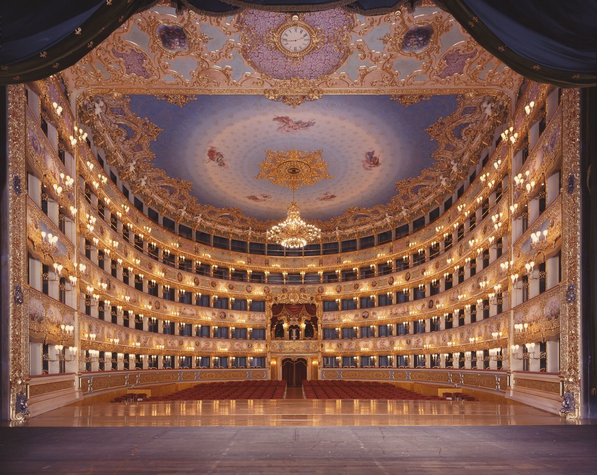